Day 110: Antigonish, NS -> Inverness, NS
Jeremy leaves the mainland, pushes the hills, and bikes through some lovely country

Date: Saturday, September 2, 2023
Start: Antigonish, NS (Whidden Campground)
End: Inverness, NS (Maple Meadows Campground)
Distance: 130km
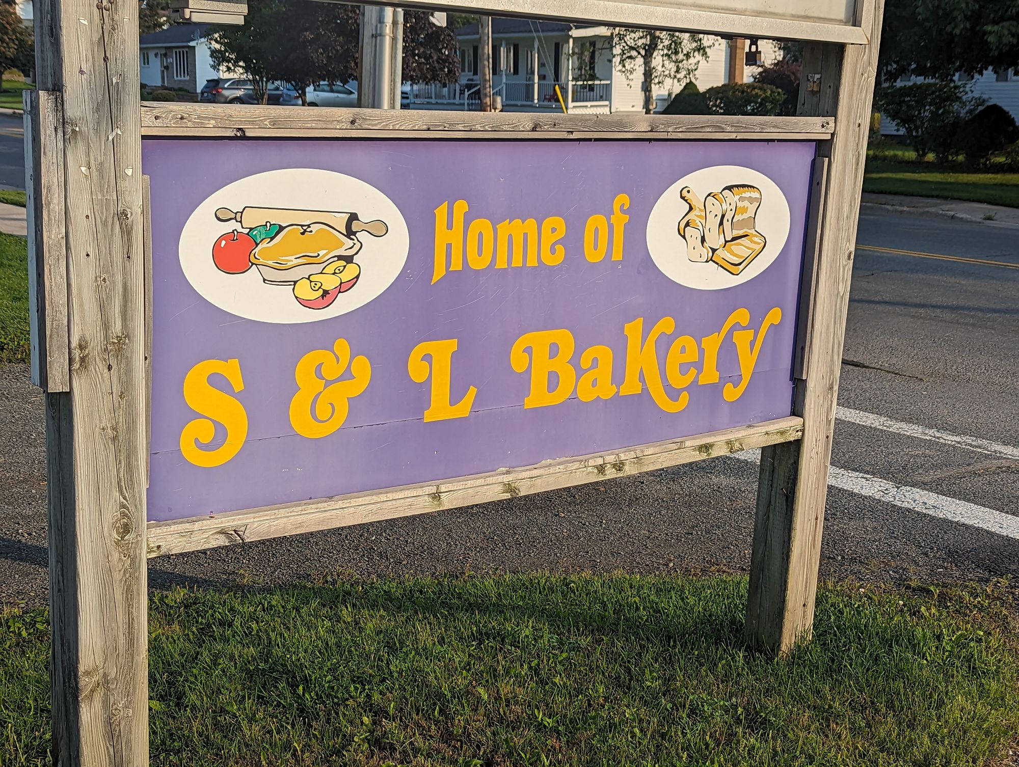
I woke at the campground and again my tent was soaked with dew. I decided I wasn't going to play the game of "sit and wait for it to dry" so I tossed on an extra layer, got on my bike, and biked to a nearby bakery. It was about 2km down the road but that didn't mean there wasn't a hill! Yup, I climbed to the bakery. Once there I got a cinnamon bun, a muffin, and a bag of cheese buns to feed me through the day.
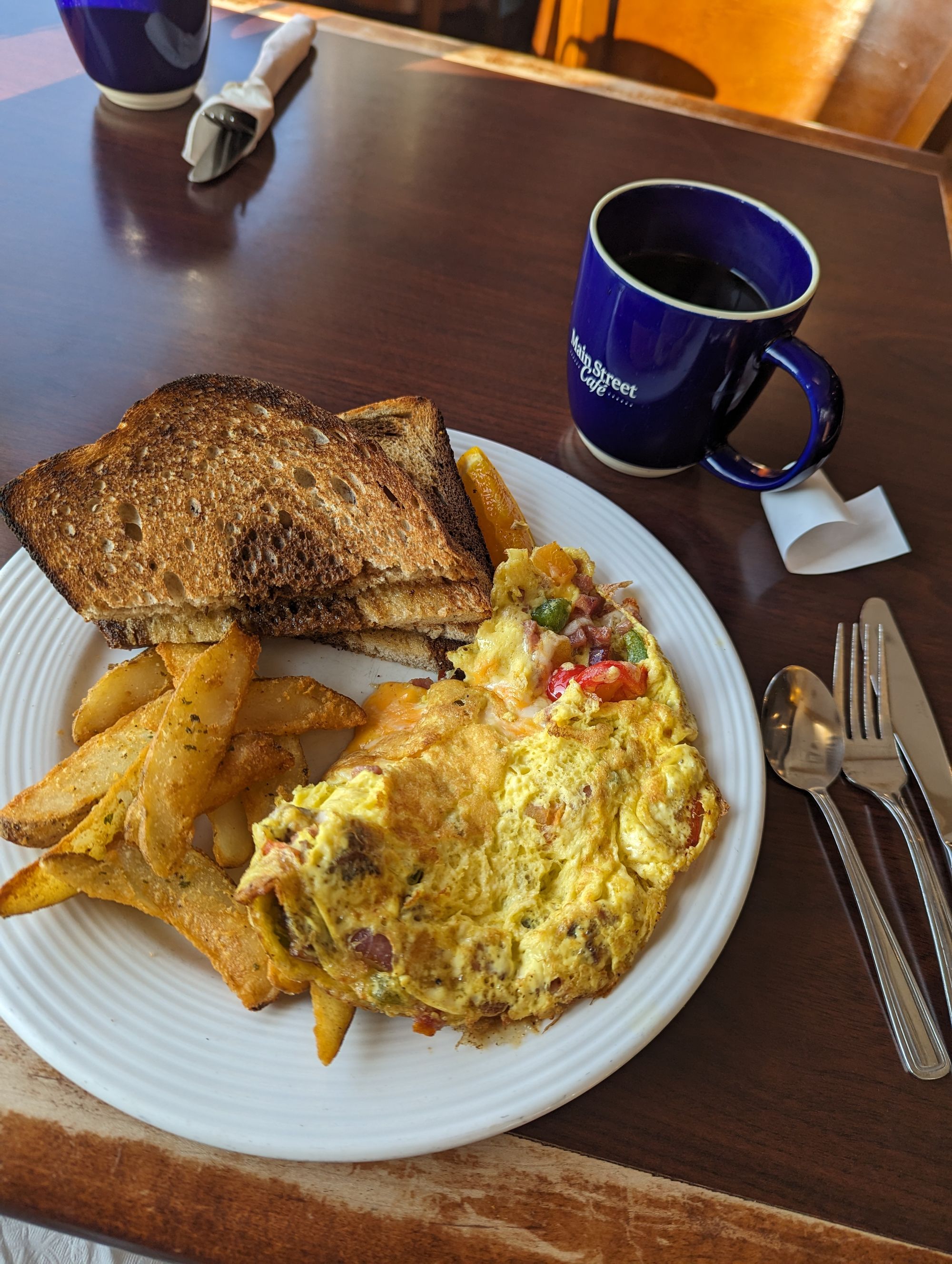
Once done there I biked to a nearby restaurant that opened at 8am. I sat and started catching up on blogging. I was determined to get at least two posts done before leaving Antigonish today. I was behind on blogging and it was starting to weigh on me! I typed as I ate breakfast. I noticed a lot of middle aged adults with a single awkward teenager in tow. I realized that these were parents seeing their child off to university. The town was FULL of them!
After breakfast I went to the local library that opened at 9am. I found a quiet spot and let my fingers furiously type away.
By 11am I was done two posts and ready to go. But I couldn't leave town yet because - if you remember - I'd simply woken up and left my tent and possessions at the campground!
When I returned to my site I found that my tent was pretty much dry! Blogging while it dried was a much better use of my time than sitting out waiting for the sun to get warm enough while I did nothing. I'm going to have to try this strategy again!
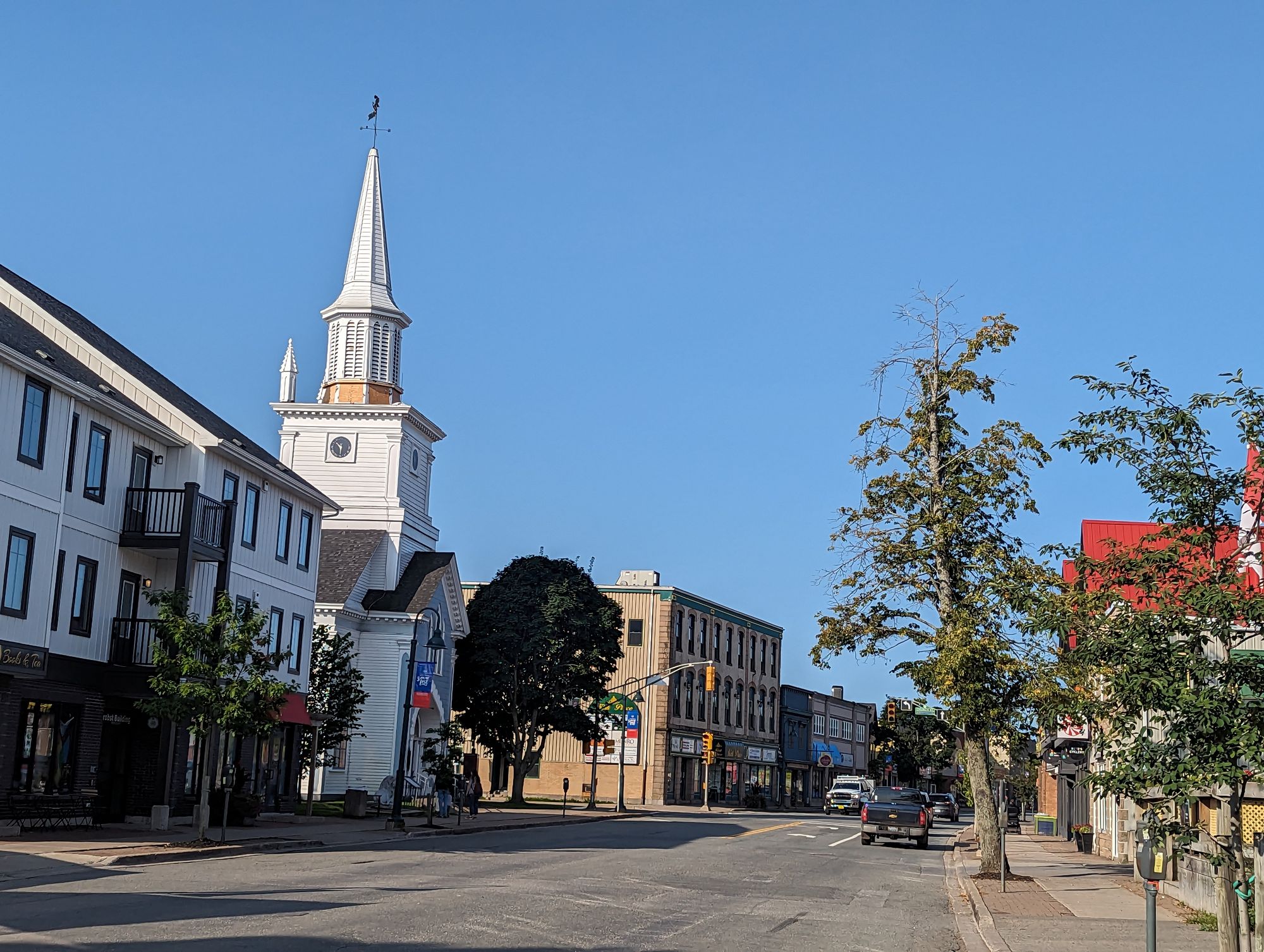
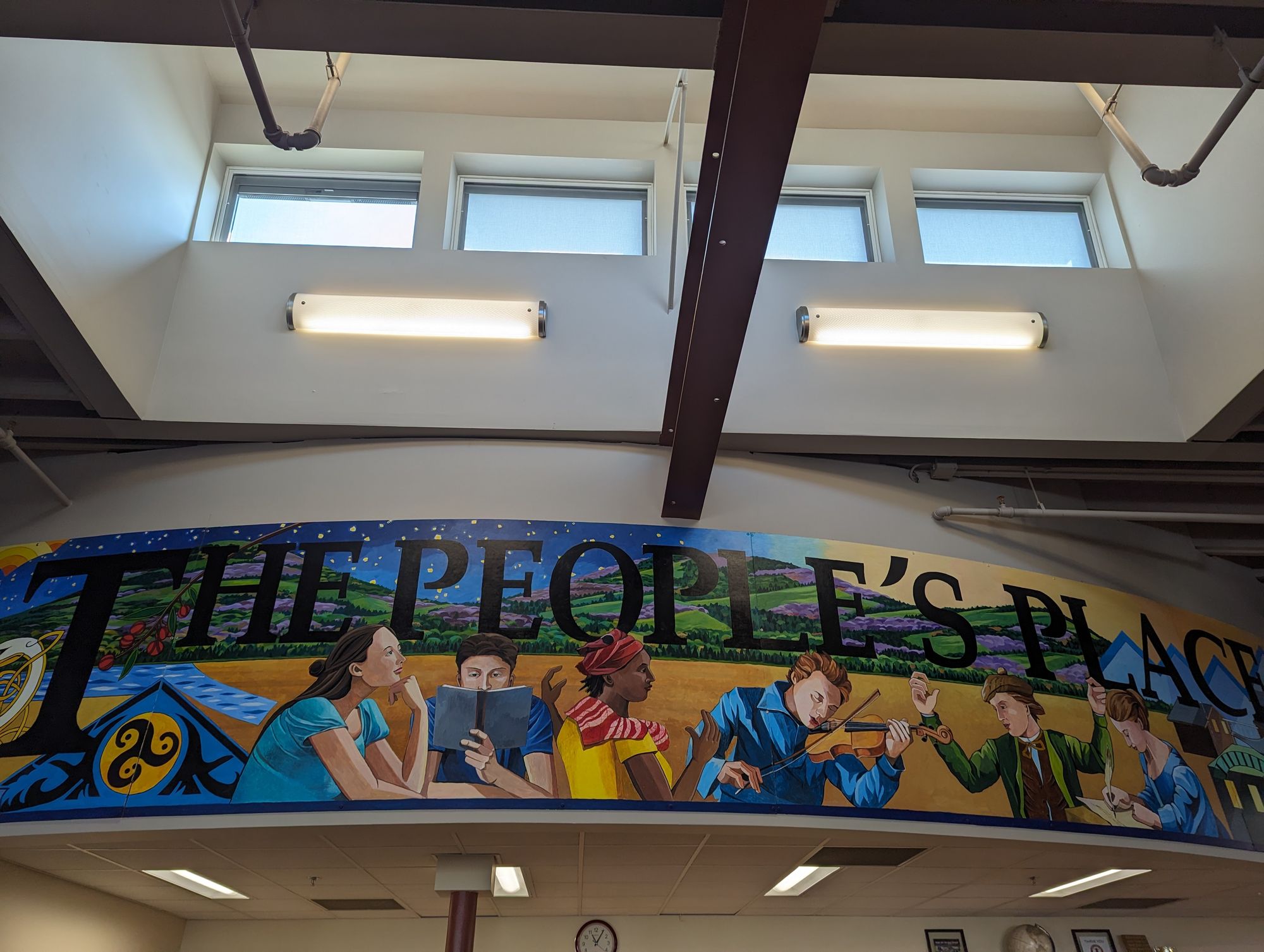
I packed up and tore down. Just before noon I was ready to leave. One of my latest starts of the entire trip, but I had two blog posts to show for it! I left the campsite and started out through downtown Antigonish. I have to admit, I was really taken by this town. It felt like just the right size. It has a university to keep it young. There seemed to be lots of community spirit, culture, and pride. I want to come back here one day and explore it more.
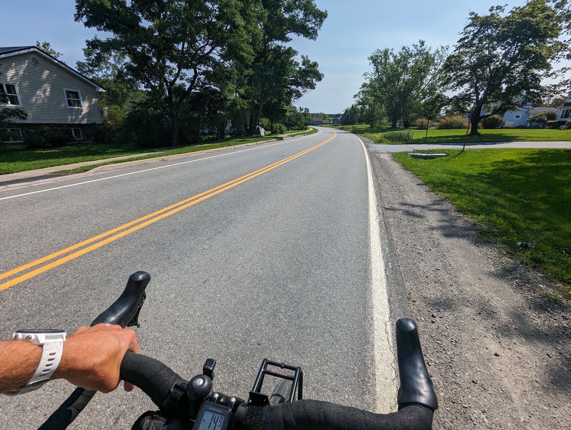
I set off. My goal for the day was somewhere on Cape Breton. I didn't know how far I could make it so was going to go as far as I could given that I was leaving around noon. I started out on the old highway out of Antigonish.
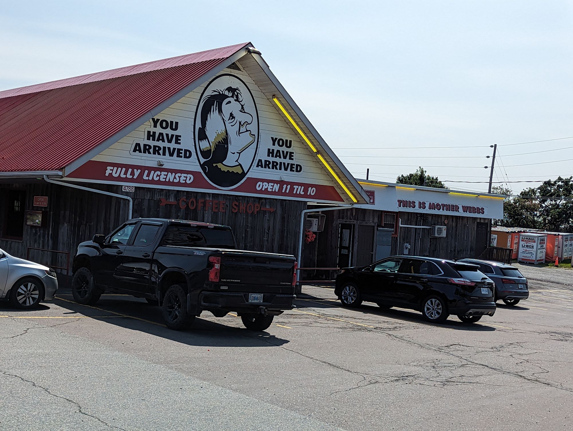
Soon the old highway merged with the new highway. However, I was so busy taking pictures of a funny restaurant that I missed the turn and ended up going 2km before I realized the mistake and turned around. So another 4km added to the ride today!
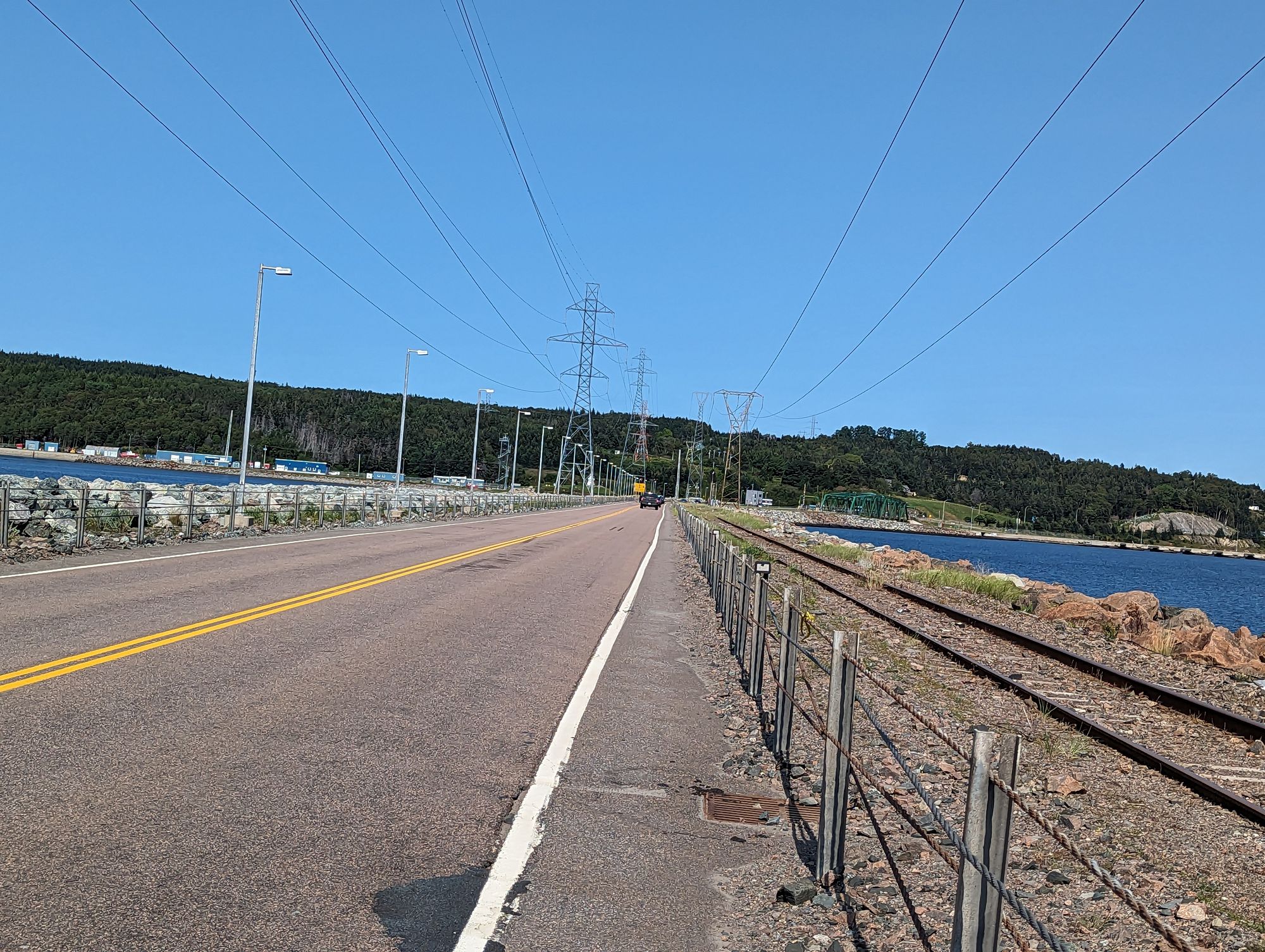
I merged onto the Trans-Canada Highway 104. I have not been on the Trans-Canada since PEI and before that probably not since Northern Ontario! It was heavy traffic and moving fast, but there was a wide shoulder and lots of space. I had forgot how loud the highway could be, and when one motorcycle rolled by and threatened to burst my eardrums I popped in my headphones and listened to an audiobook (Master and Commander by Patrick O'Brian). The highway afforded few views, but I occasionally got a look at the water in the distance. The trade-off was that I was moving quite quickly and hoped this might make up for how slow I'd been leaving this morning.
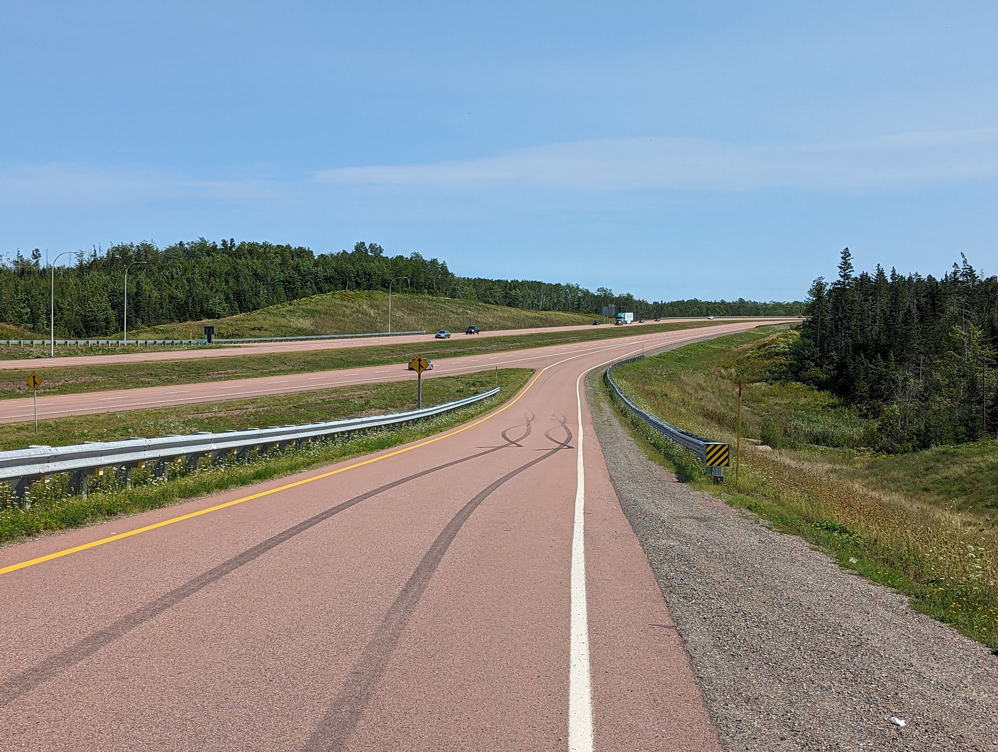
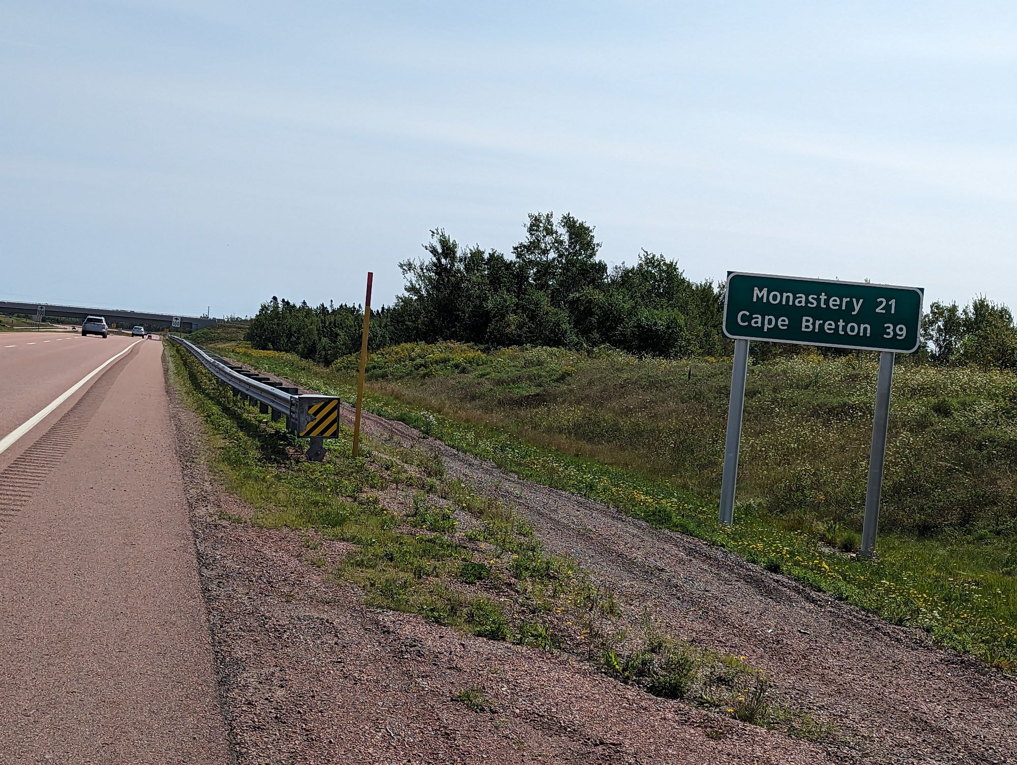
There were a few good climbs. At least one that lasted for almost 3km. This was training for what lay ahead in Cape Breton I was sure. There isn't much to say for the highway ride except that the shoulder was littered with blown out tires and...dead porcupines. I must have seen at least 15 in the 50km it took me to get to the causeway that crossed to Cape Breton. I had to focus on not hitting them or paying attention to them.
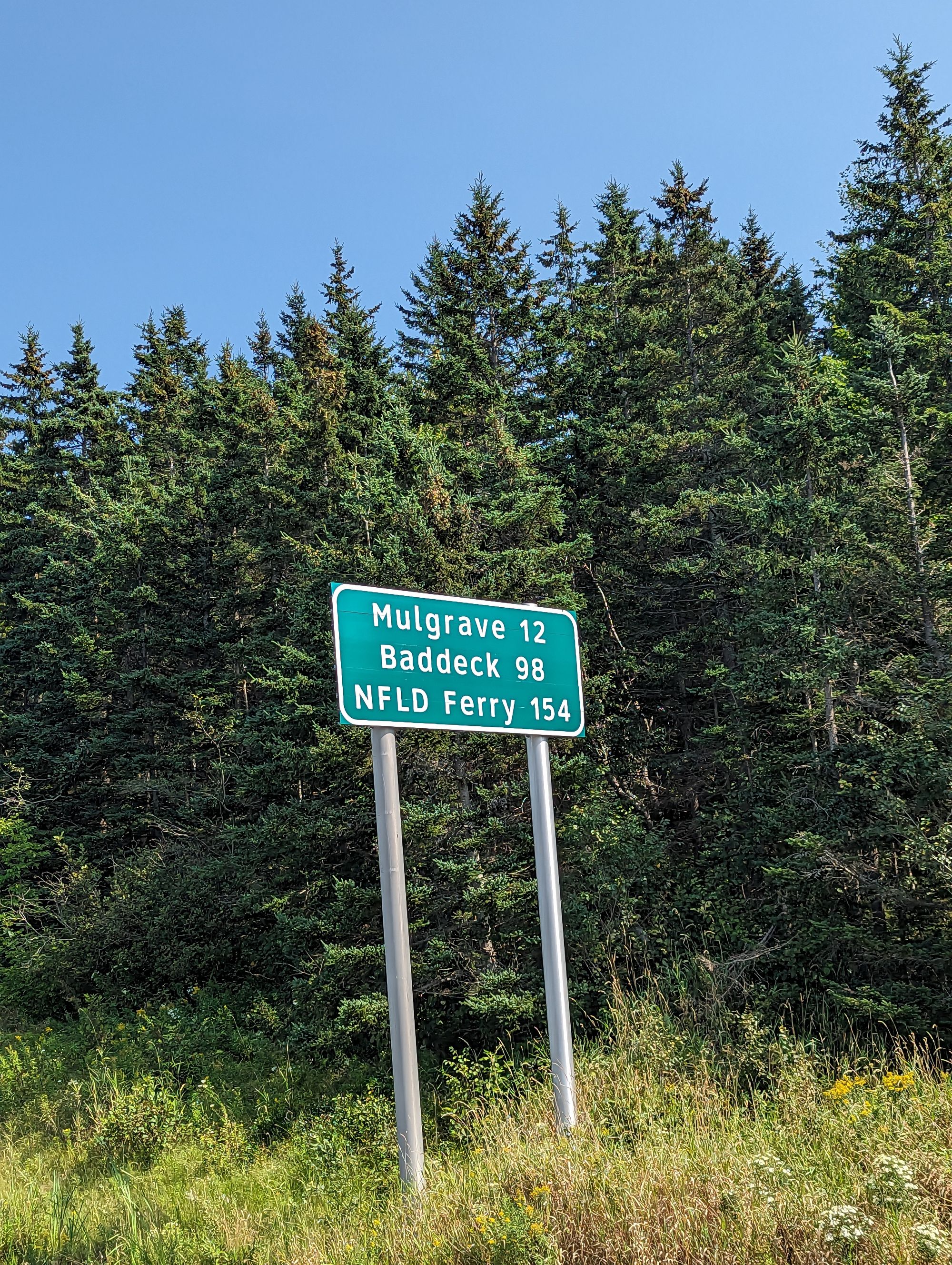
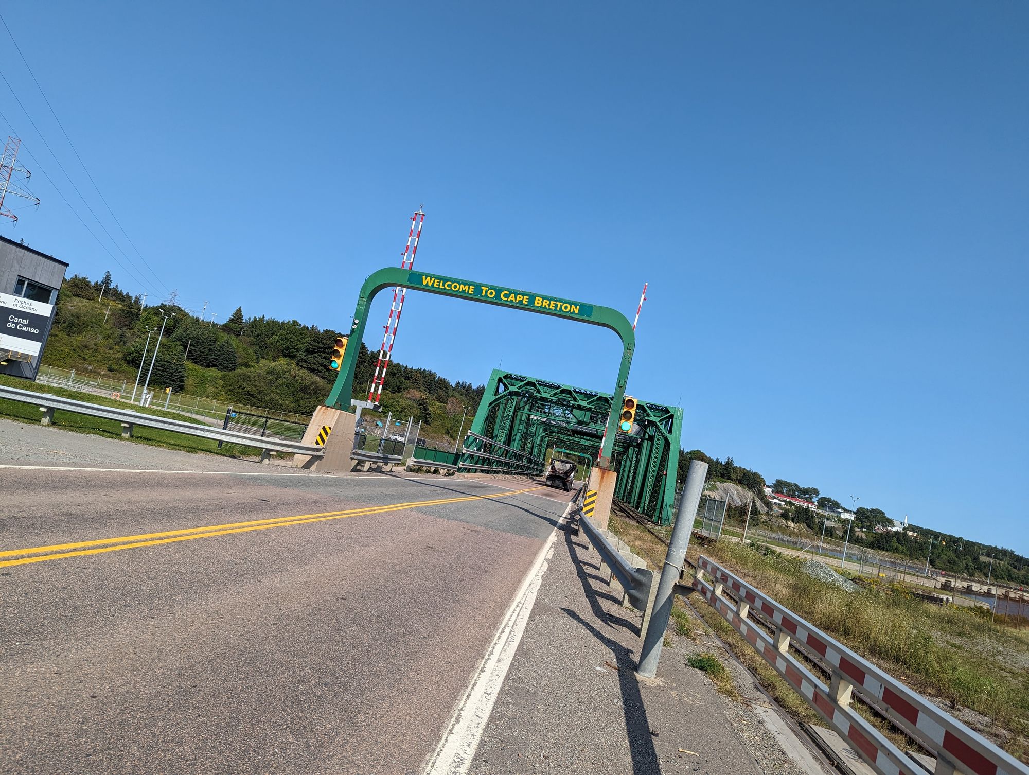
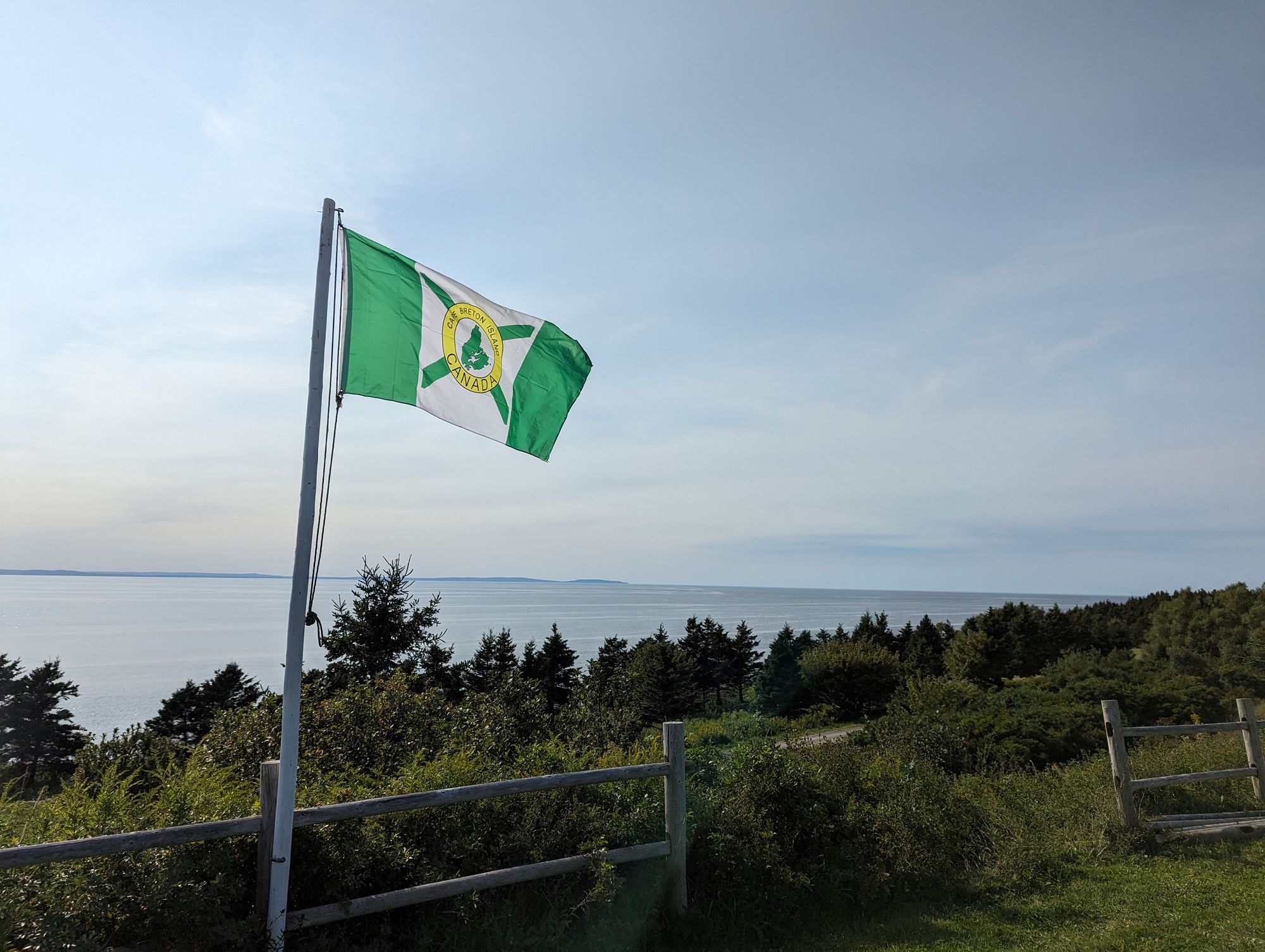
At some point I crested a hill and saw water in the distance and land beyond that. It was Cape Breton! I came to a gas station just before the causeway and stopped for a break and a snack. I sat and stared out at the land beyond. Cape Breton is actually an island. Crossing over to it, I would be leaving the mainland of Canada behind. I planned to tour Cape Breton a while and then cross to Newfoundland from there. I sat and enjoyed the thought as I reflected on everywhere I'd been and all the wonderful people I'd spent time with.
I set off for Cape Breton. I crossed the Canso Causeway and just like that...I was there!

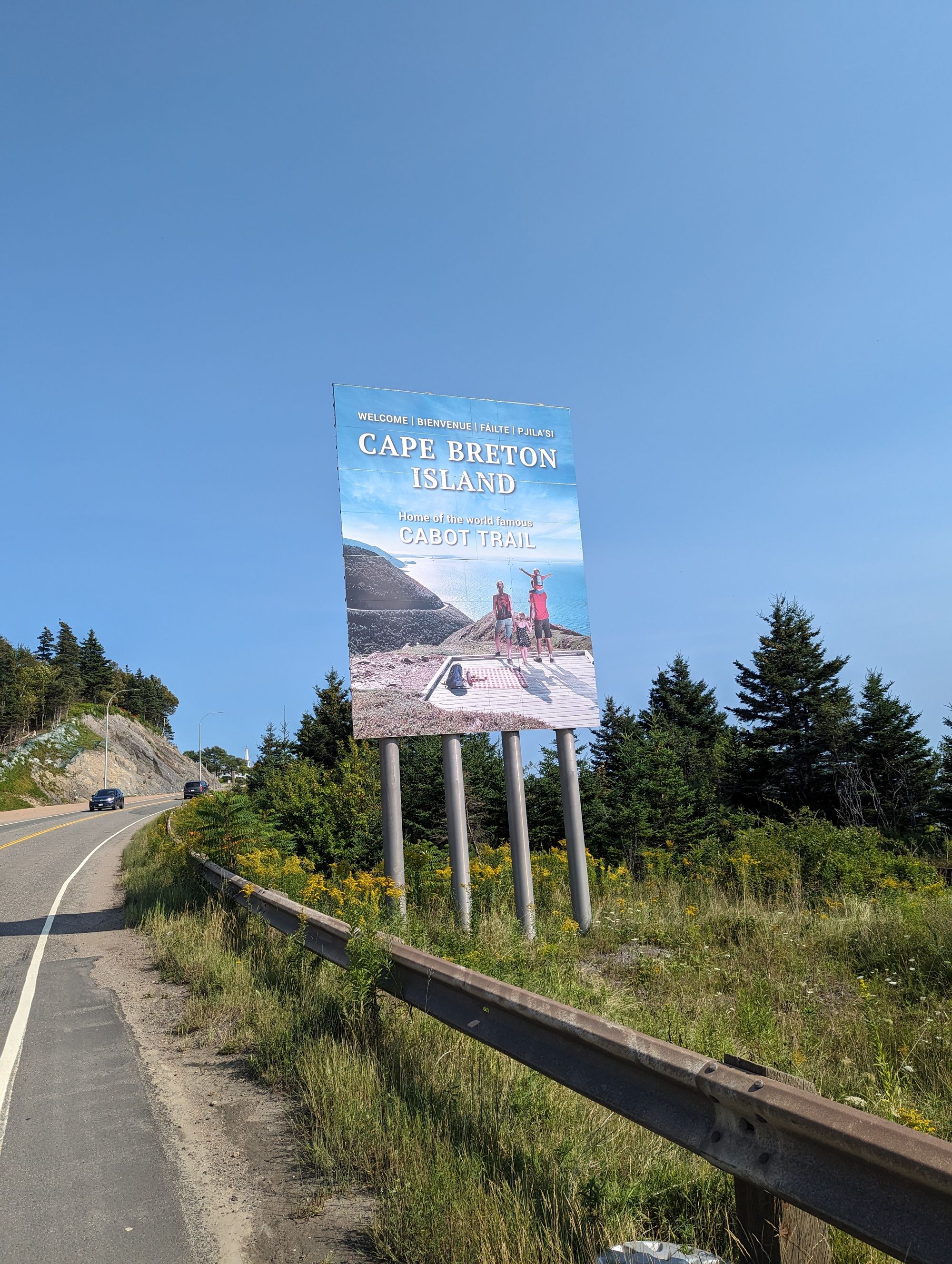
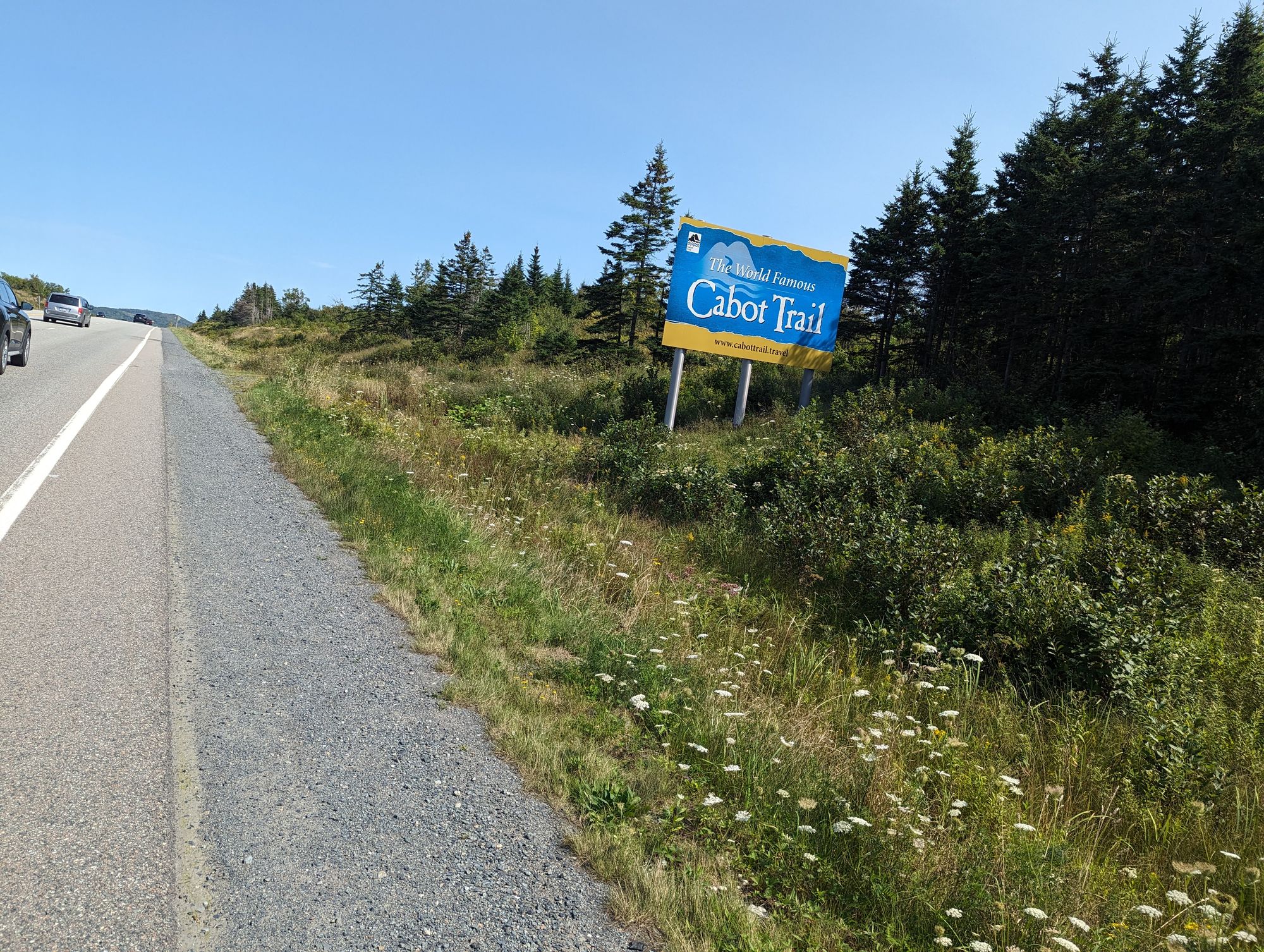
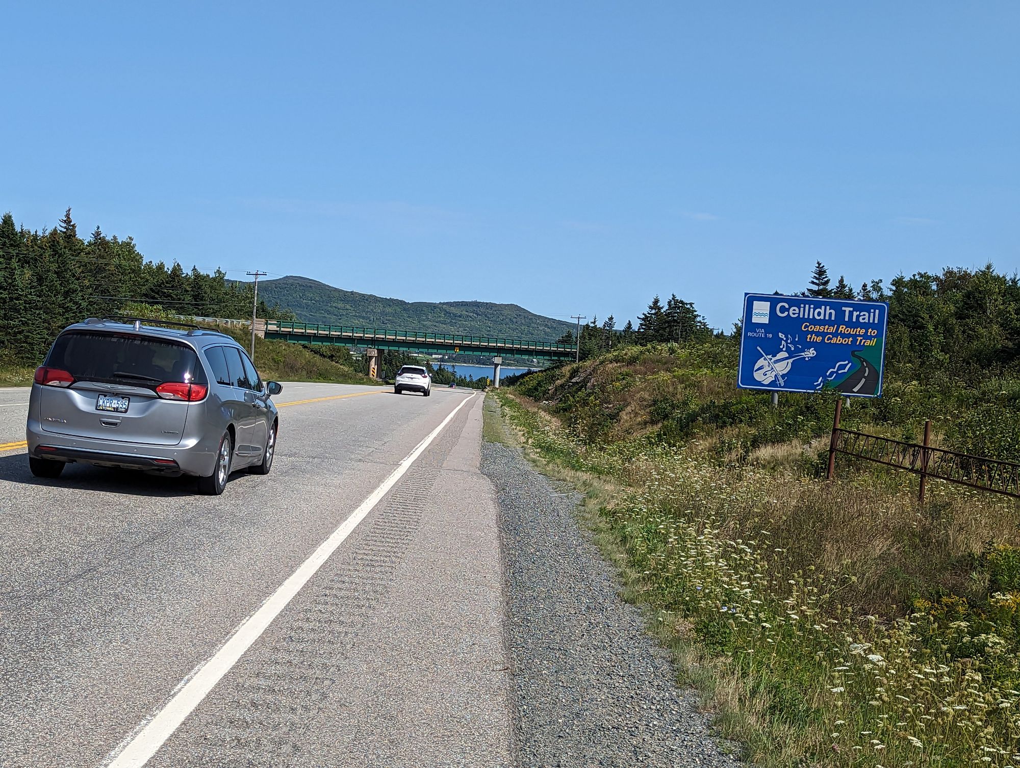
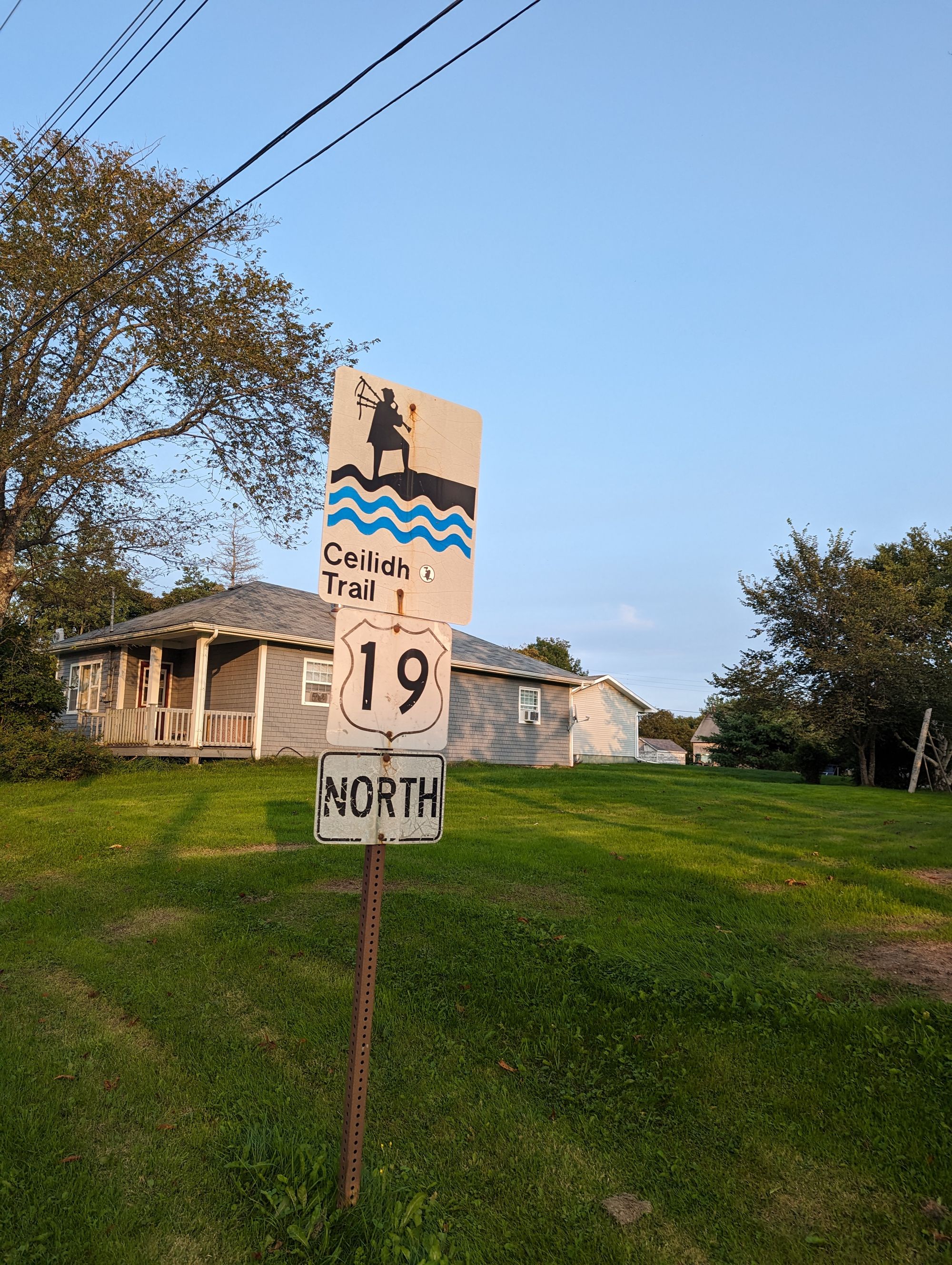
I immediately turned off the Trans-Canada and onto Highway 19. This highway traces along the Western Coast of Cape Breton until it joins up with The Cabot Trail. I would follow it along the small towns and rocky coast until then. I hoped to make it to Inverness, but it was almost 3:30pm and I had another 80km to go. If I could average 20km/h I would make it there by 7:30pm and the Sun was going to set at 7:42pm. That was a tall order but I would try!
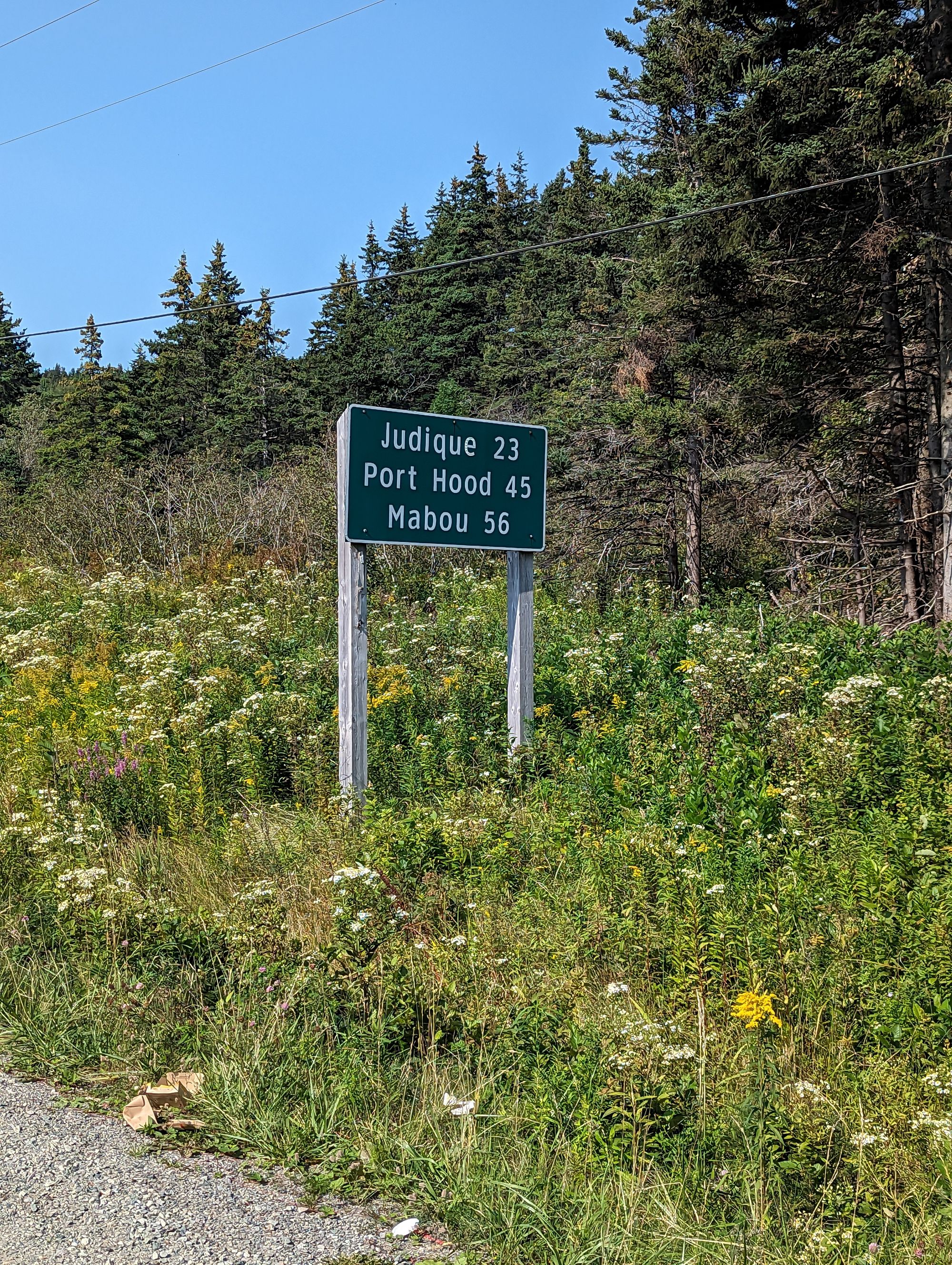
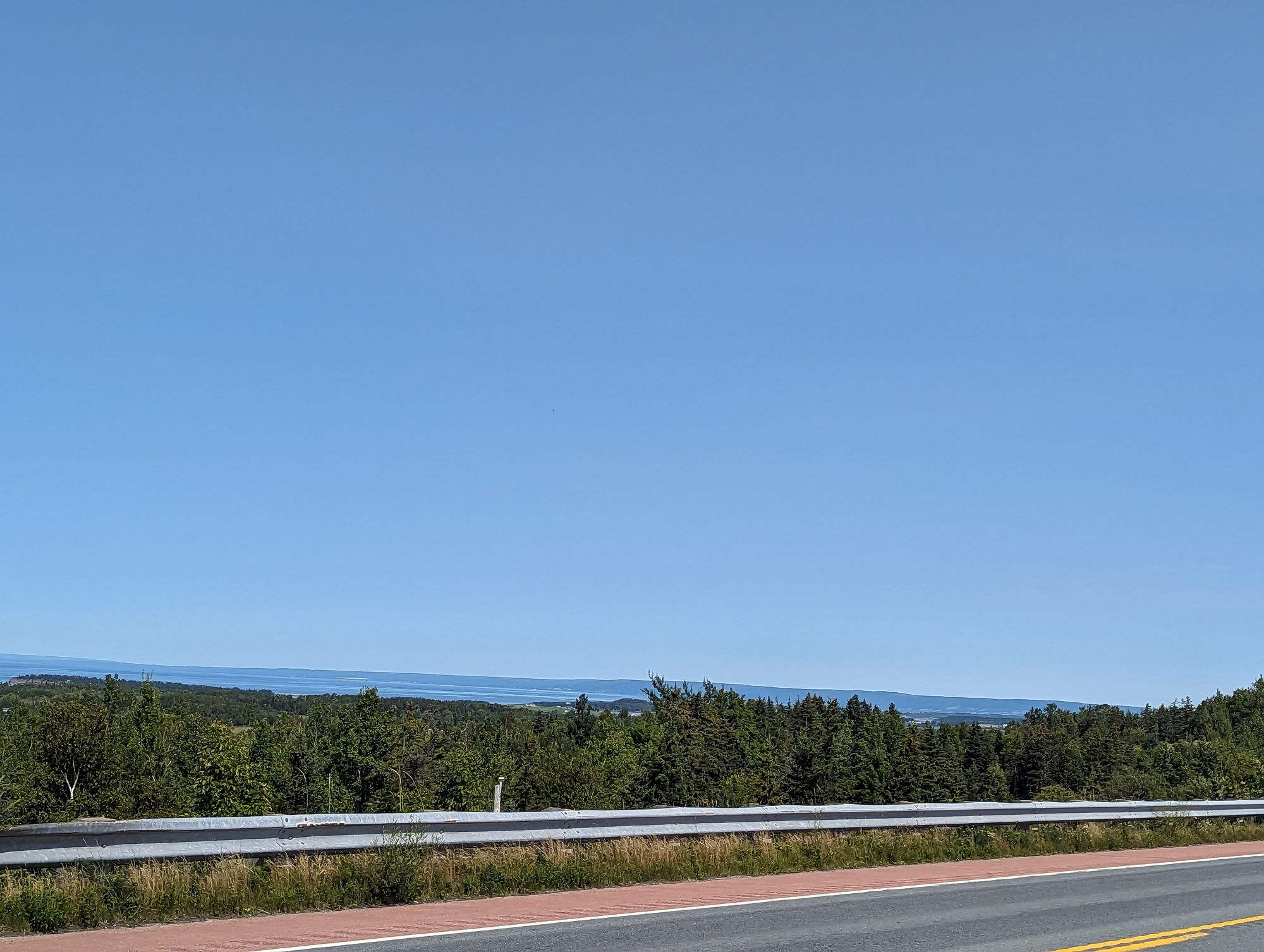
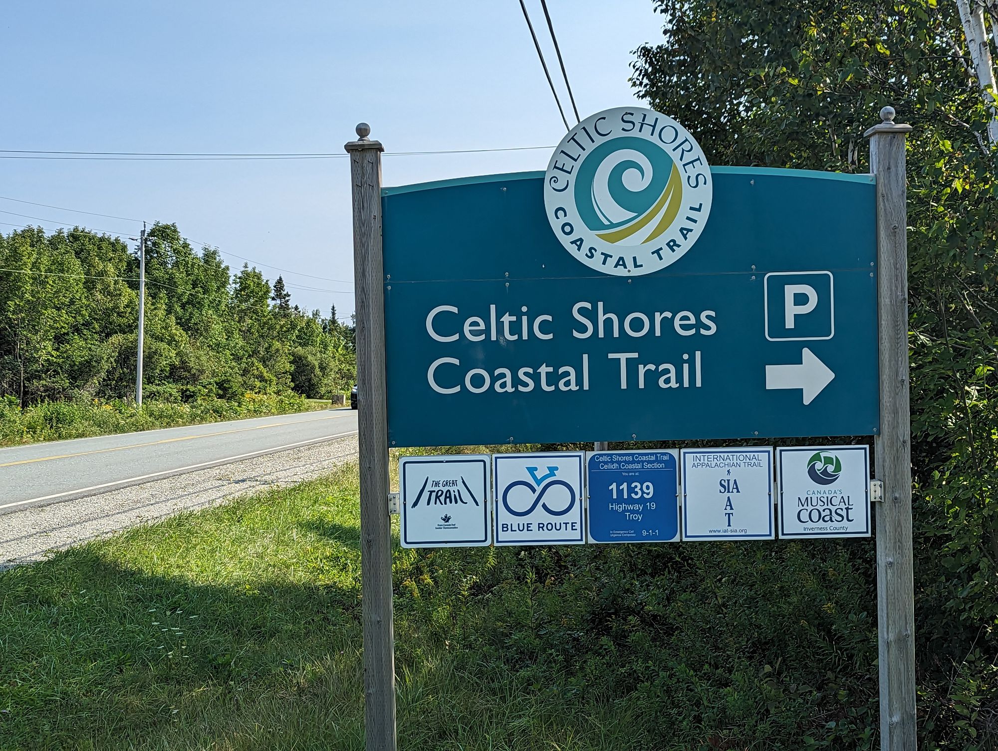
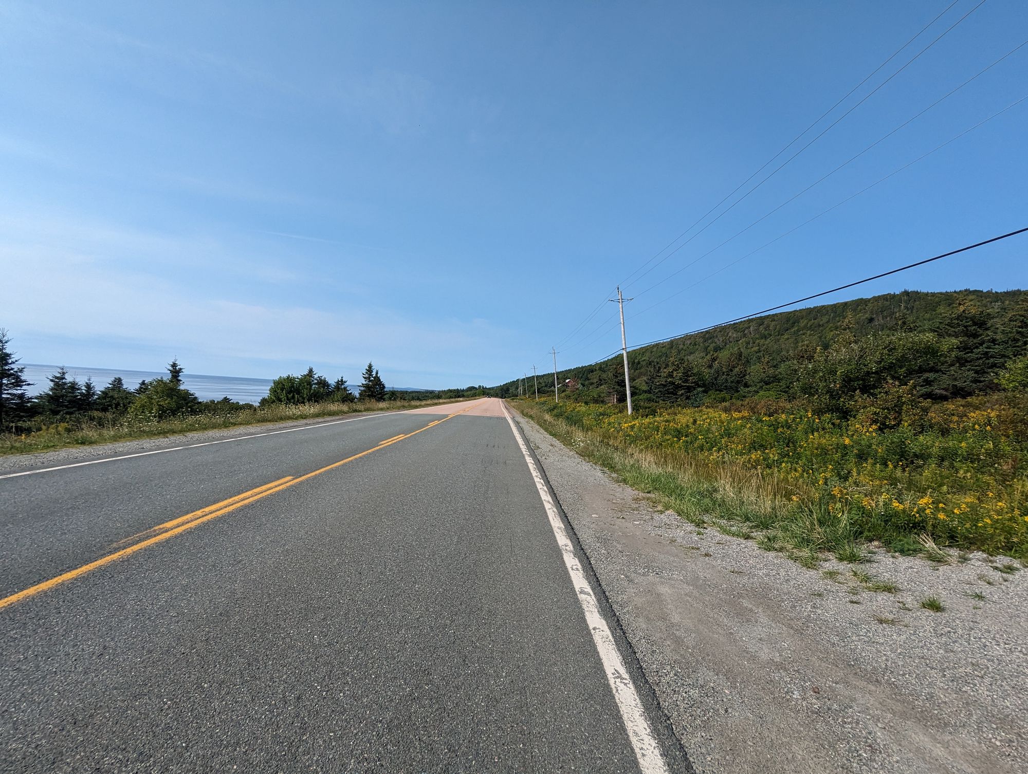
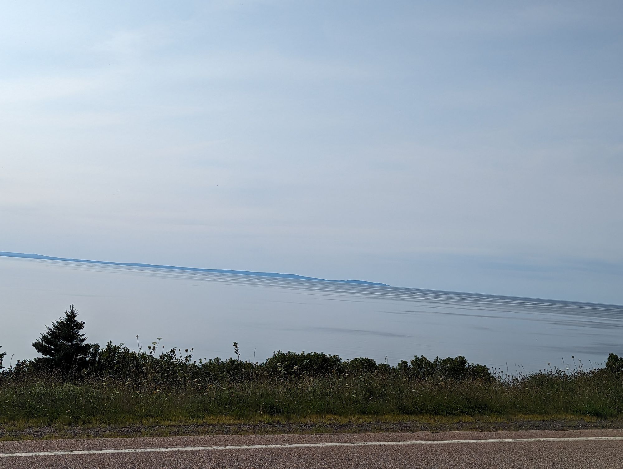
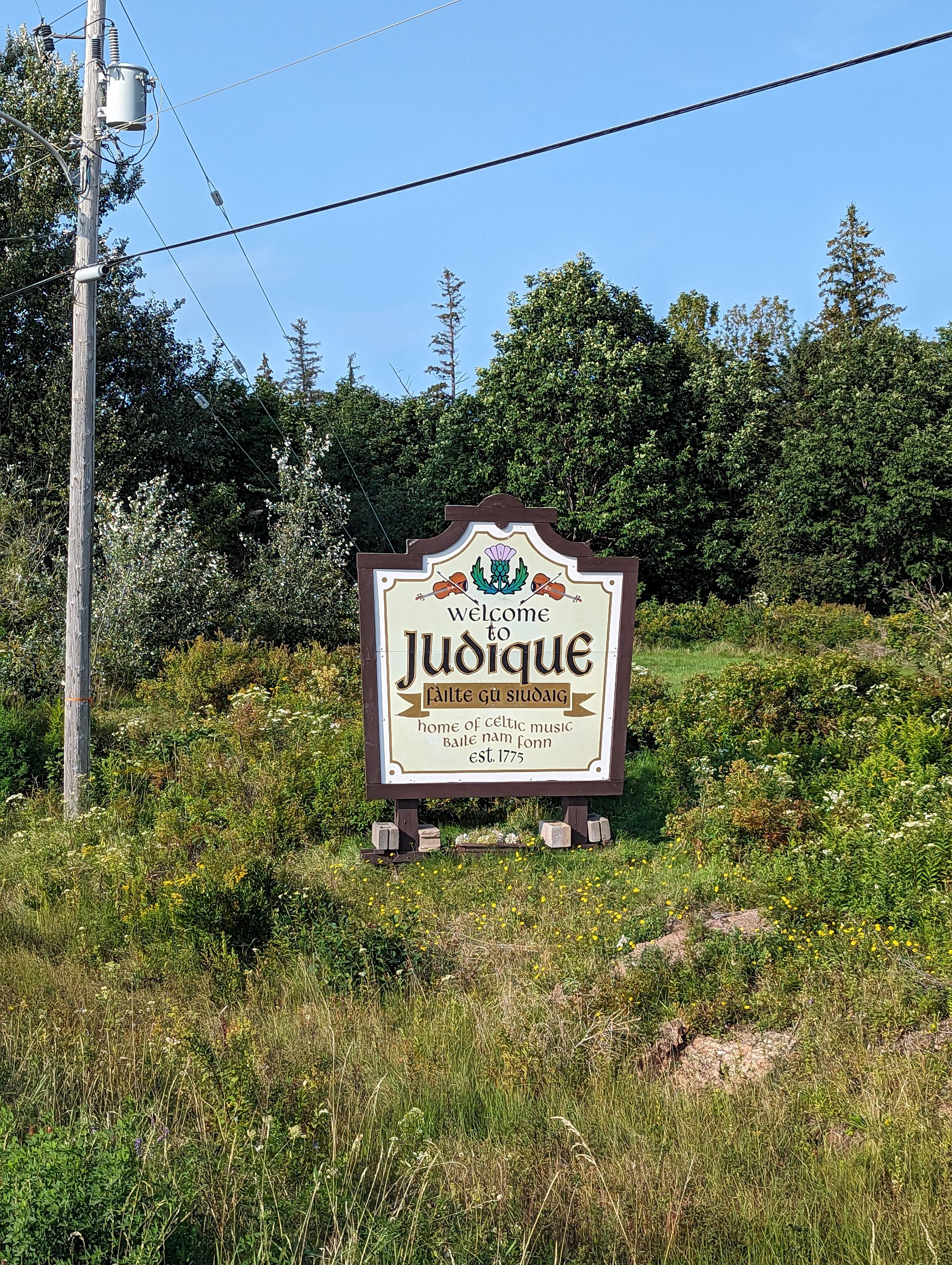
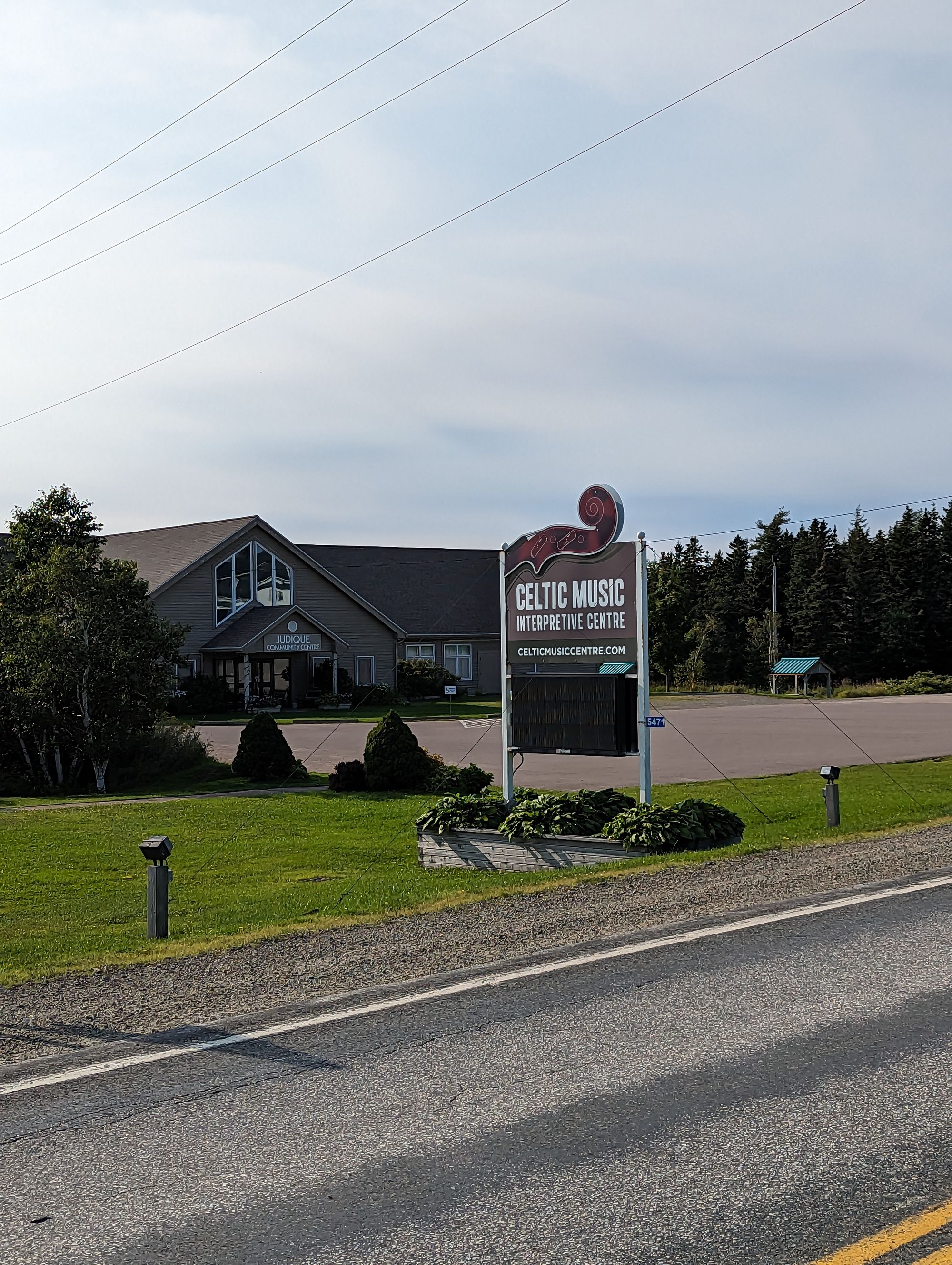
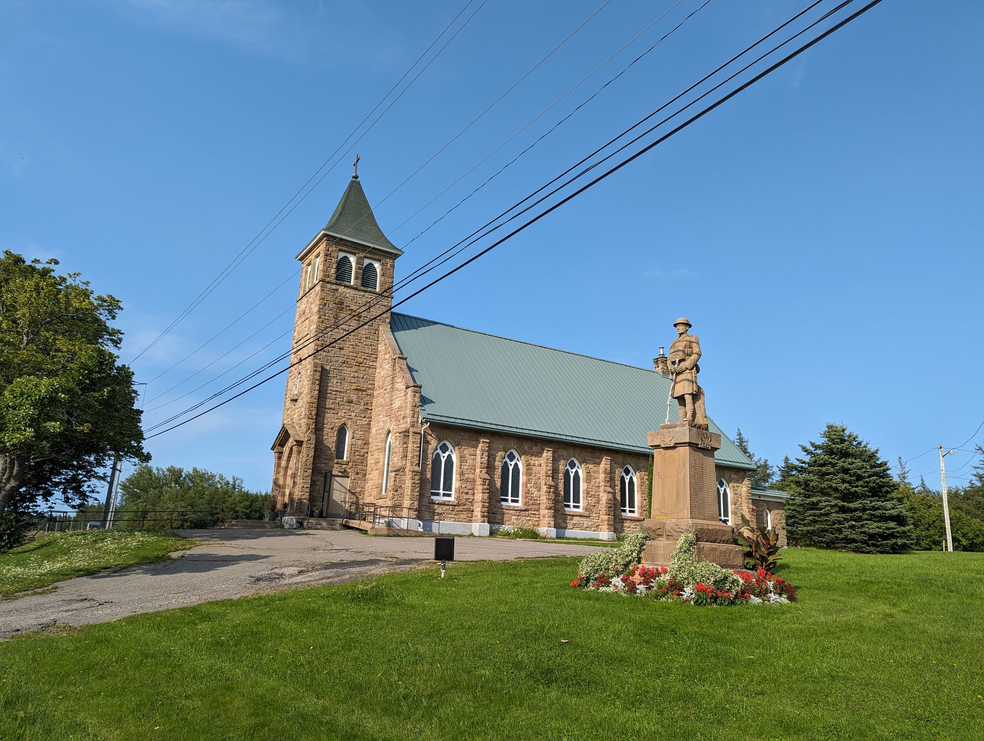
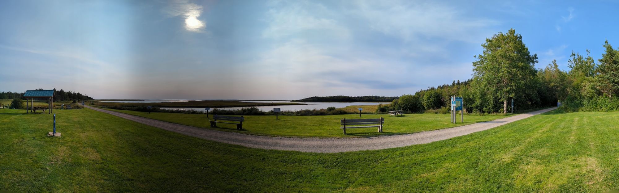
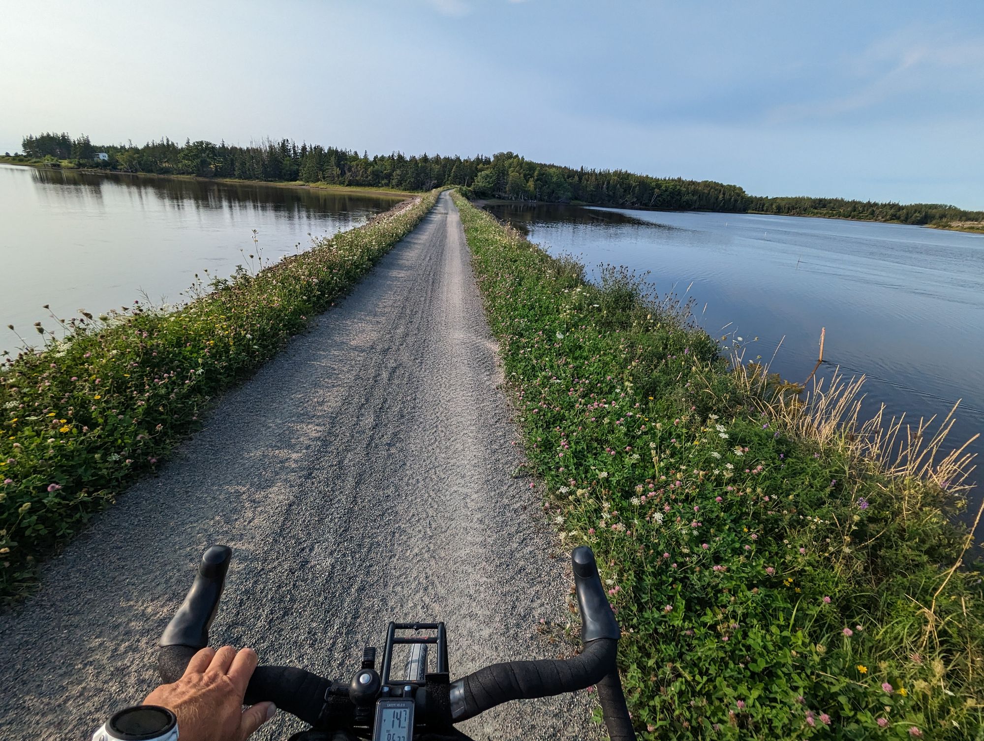
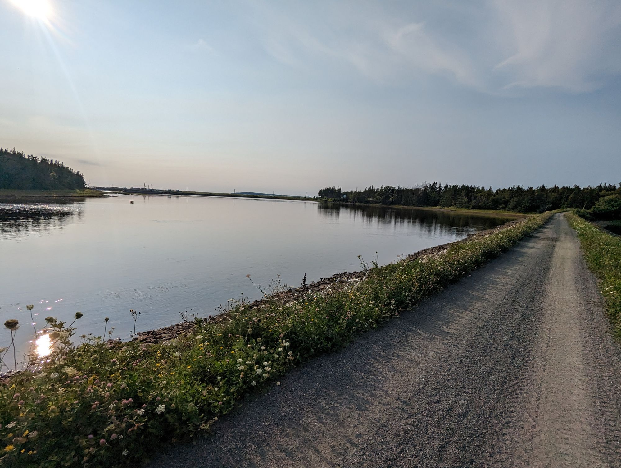
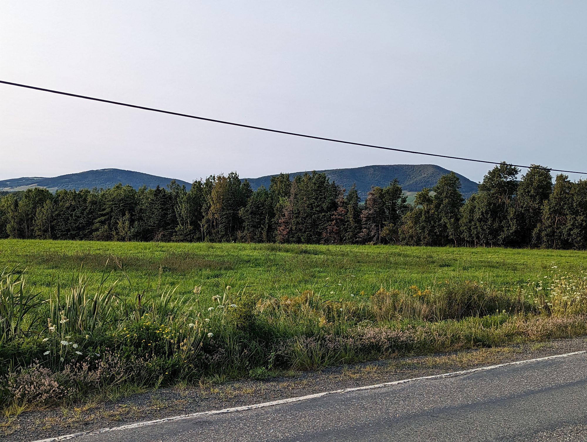
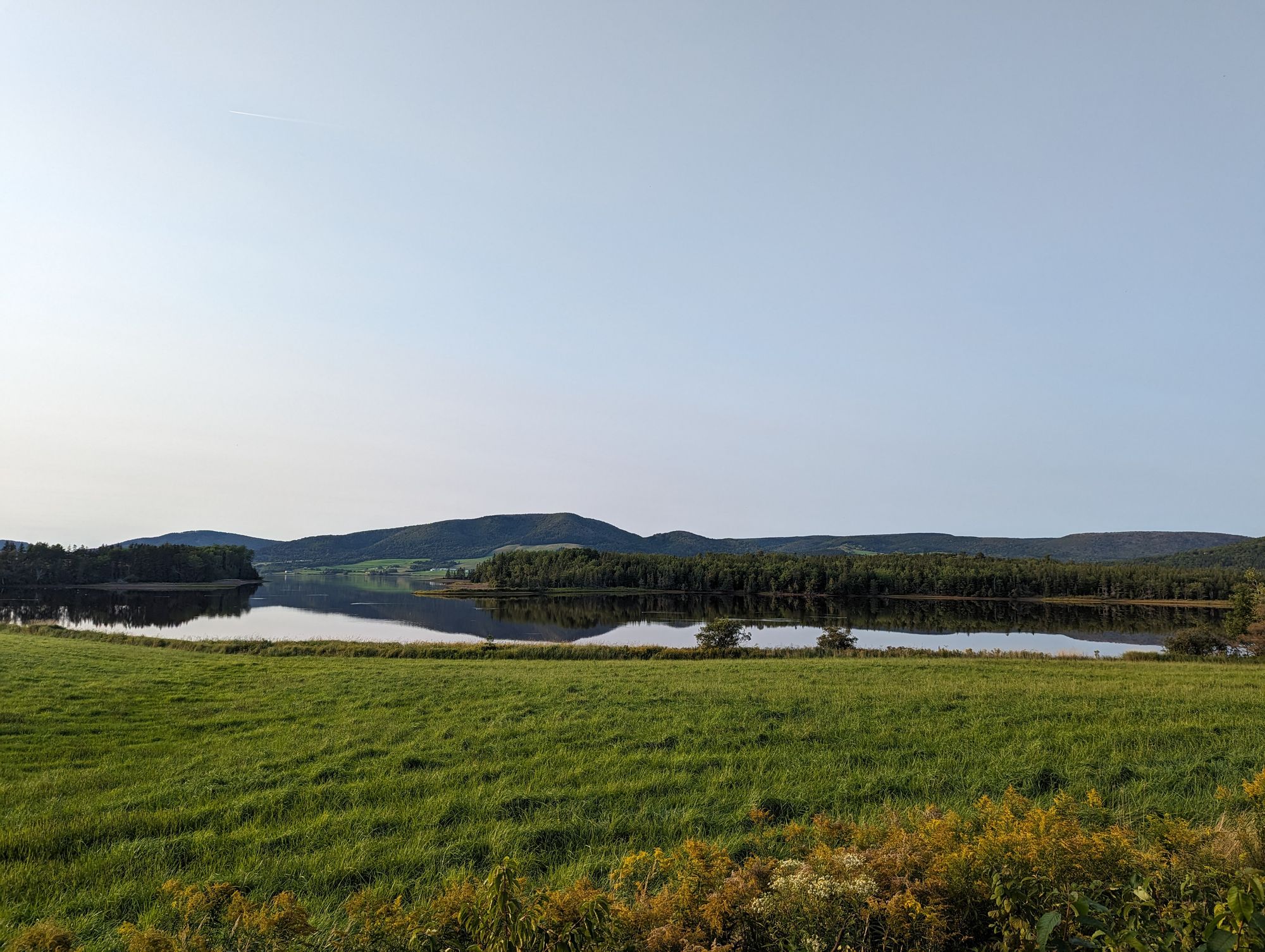
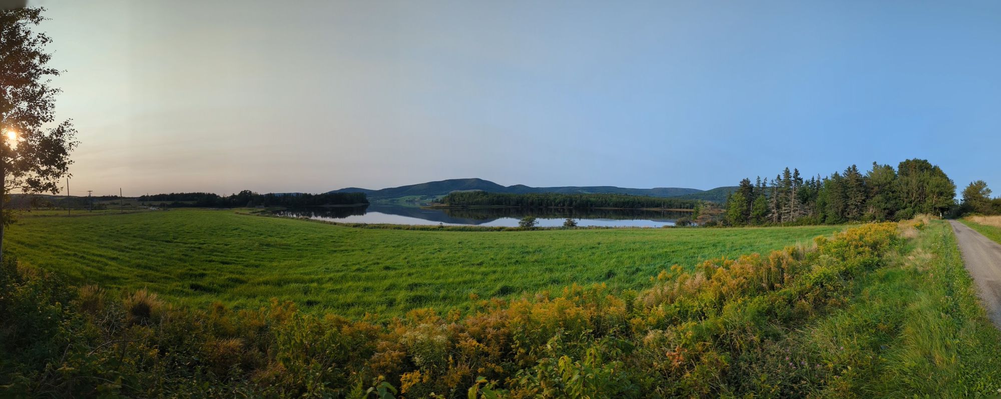
The coast was incredible. And the hills of Cape Breton were far taller and more rugged than Nova Scotia. There was a rail-to-trail bike path that also followed this route, but I chose to stay off of it as they're usually slower than the road. I biked along to Judique snapping pictures all the while.
Once in Judique I decided to try the trail. It was in good shape to start and at one point even went out through the water. It was some beautiful views!
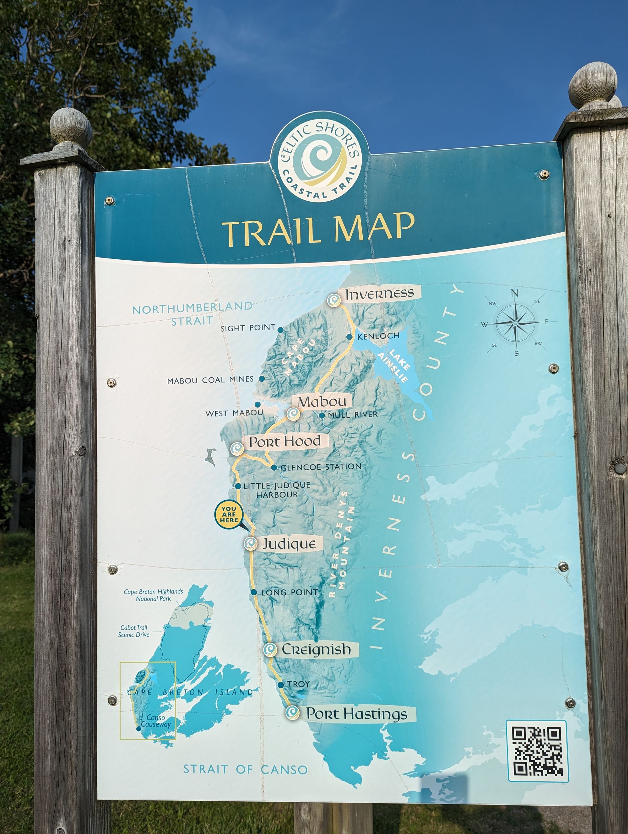
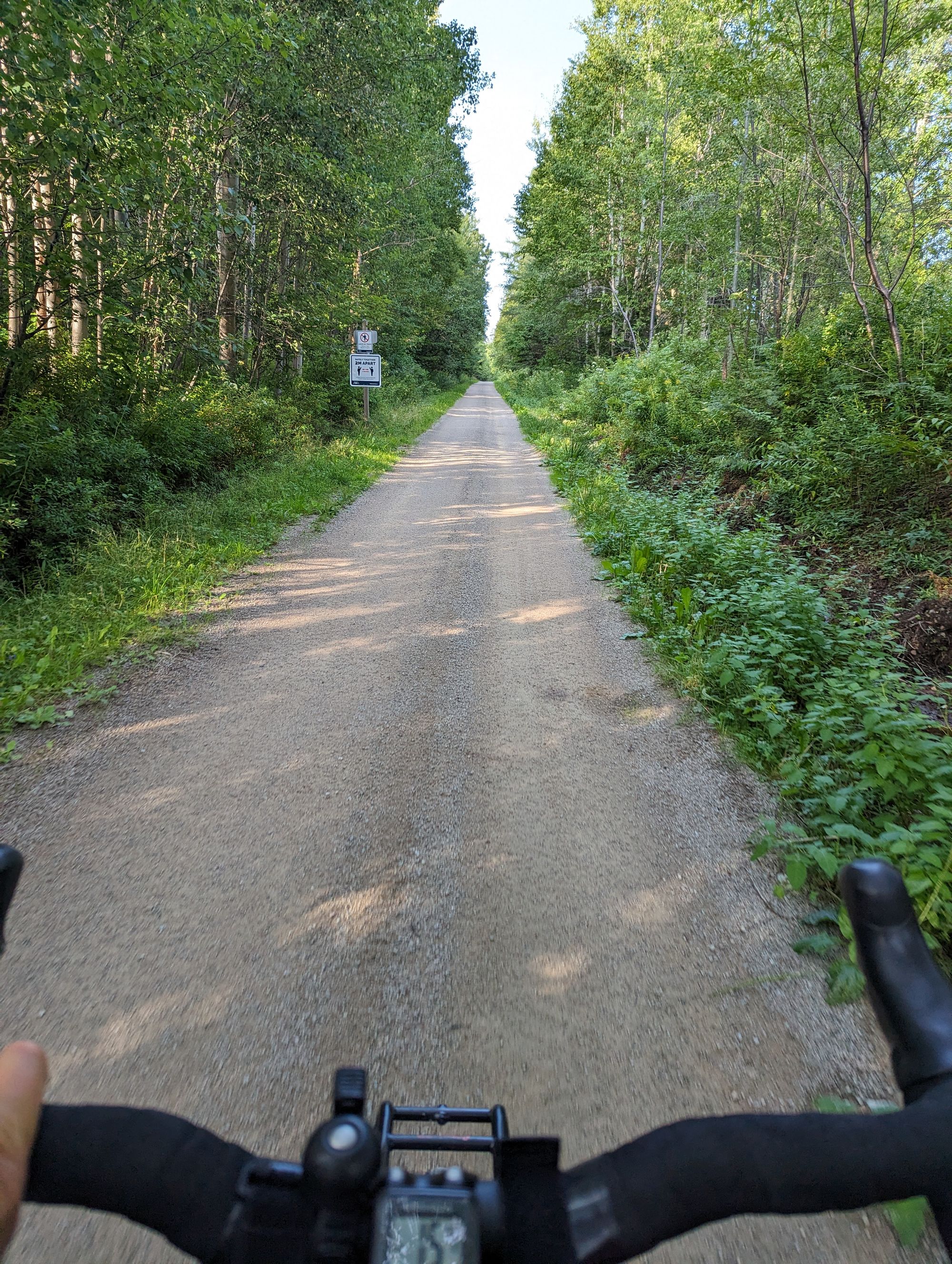
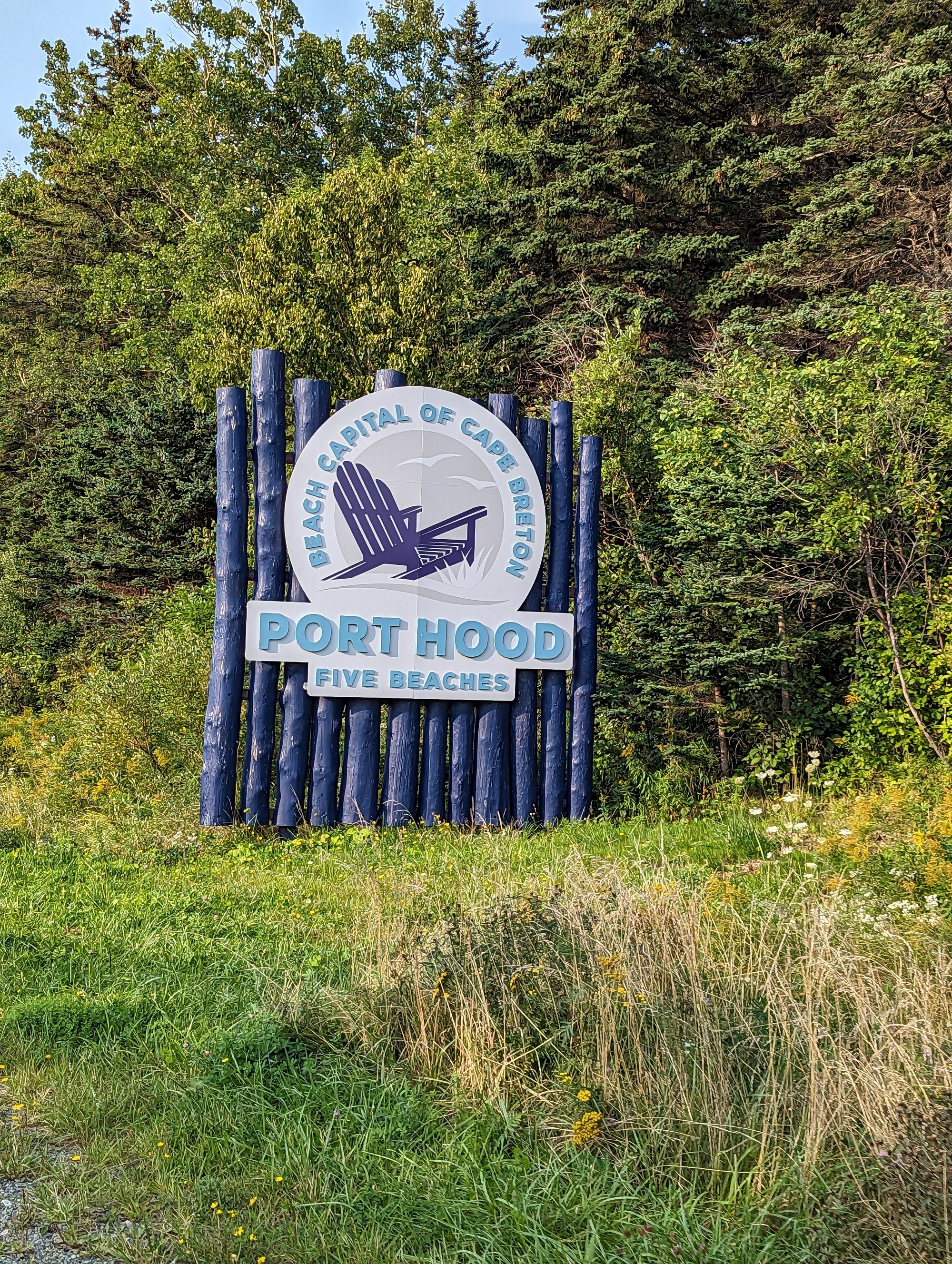
Unfortunately it later turned into sandy gravel with lots of pitting and I was passed by several ATVs. I slowed WAAAAY down and couldn't get much more than 14km/h. At one point the sand/gravel mix was so deep I had to stop and push. Once I reached Port Hood, I got off the trail and back on to the highway.
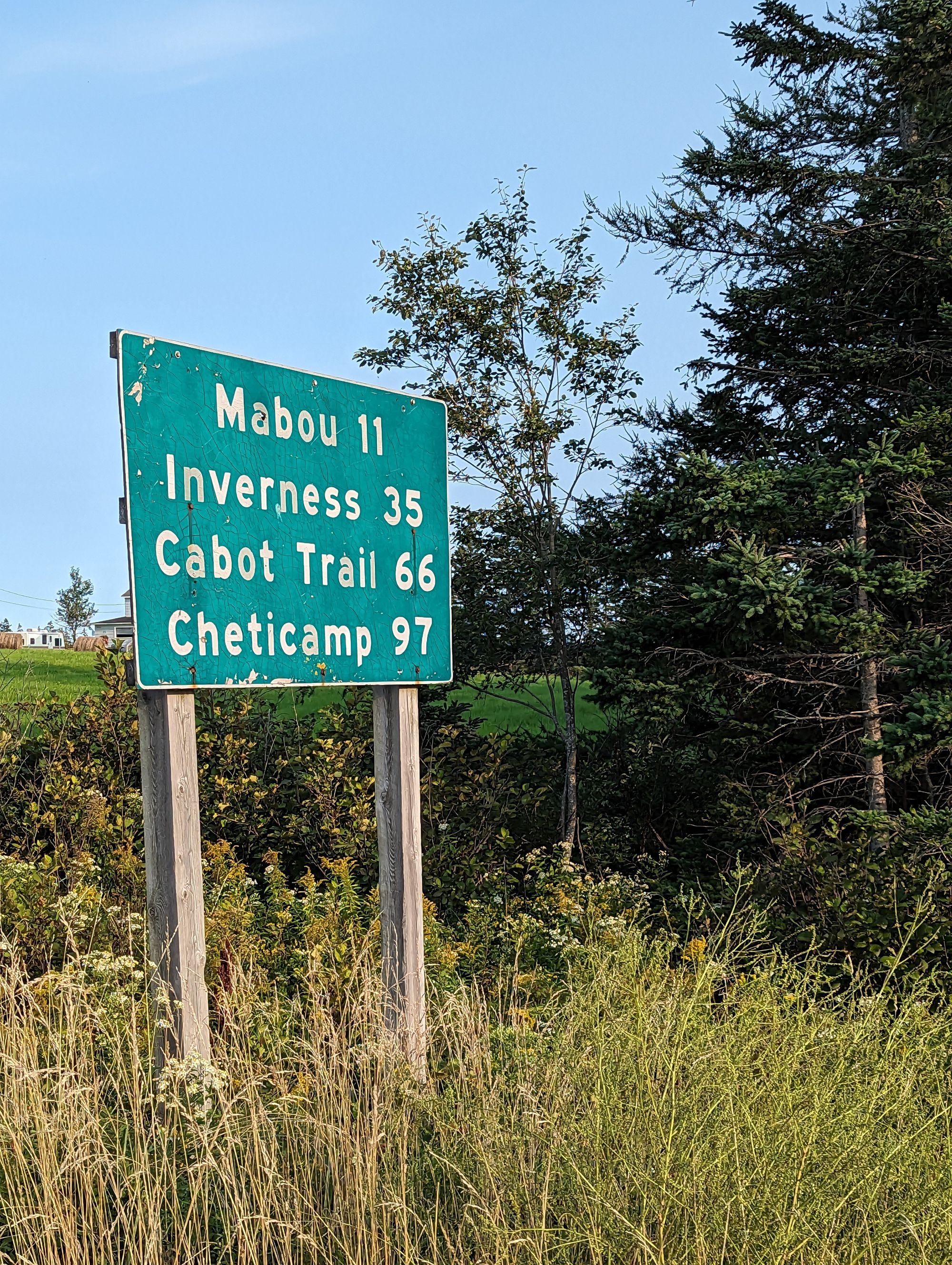
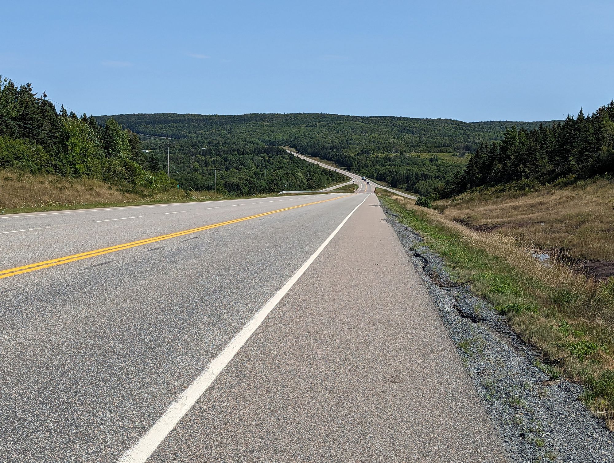
From Port Hood the next town was Mabou. It was only 11km away, but don't let the number fool you. I had to climb for almost 5km before coming down 5km into the town. It was a tough climb, made more difficult by the fact that it was now 6pm and starting to cool off. I suspect this is a combination of summer fading away and being on the coast. At 115km for the day I reached Mabou.
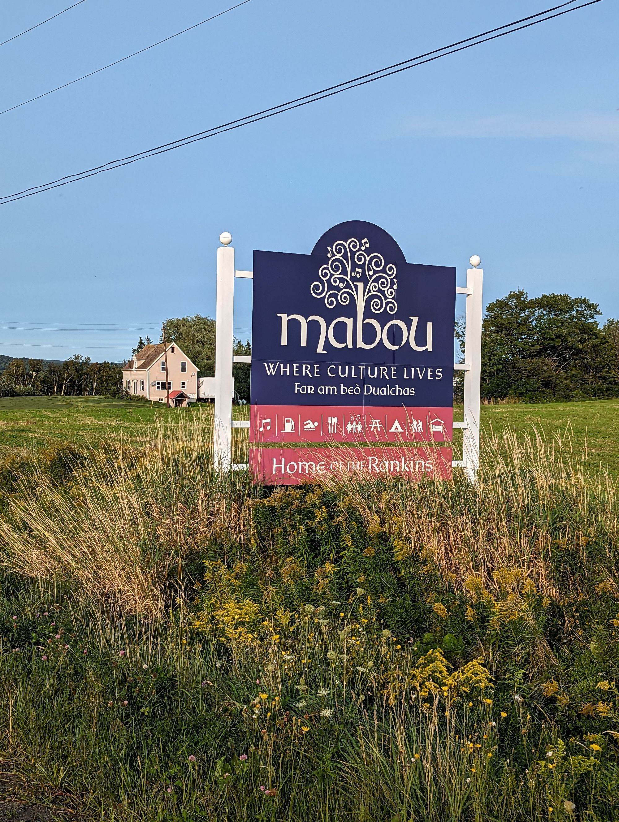
Mabou is home to The Rankin Family, a well known group in most of Canada I would guess whose specialty is East Coast fiddle music. They are 12 siblings whose musical prowess is legendary in this area, and they sold many albums in Canada at the height of their popularity in the mid 90s. I took a picture of the town sign because our friend James (who wrote the anthem to this ride and the Toppables Cracker Counter) always adds The Mull River Shuffle to any playlist I make. The Mull River is located in Mabou.
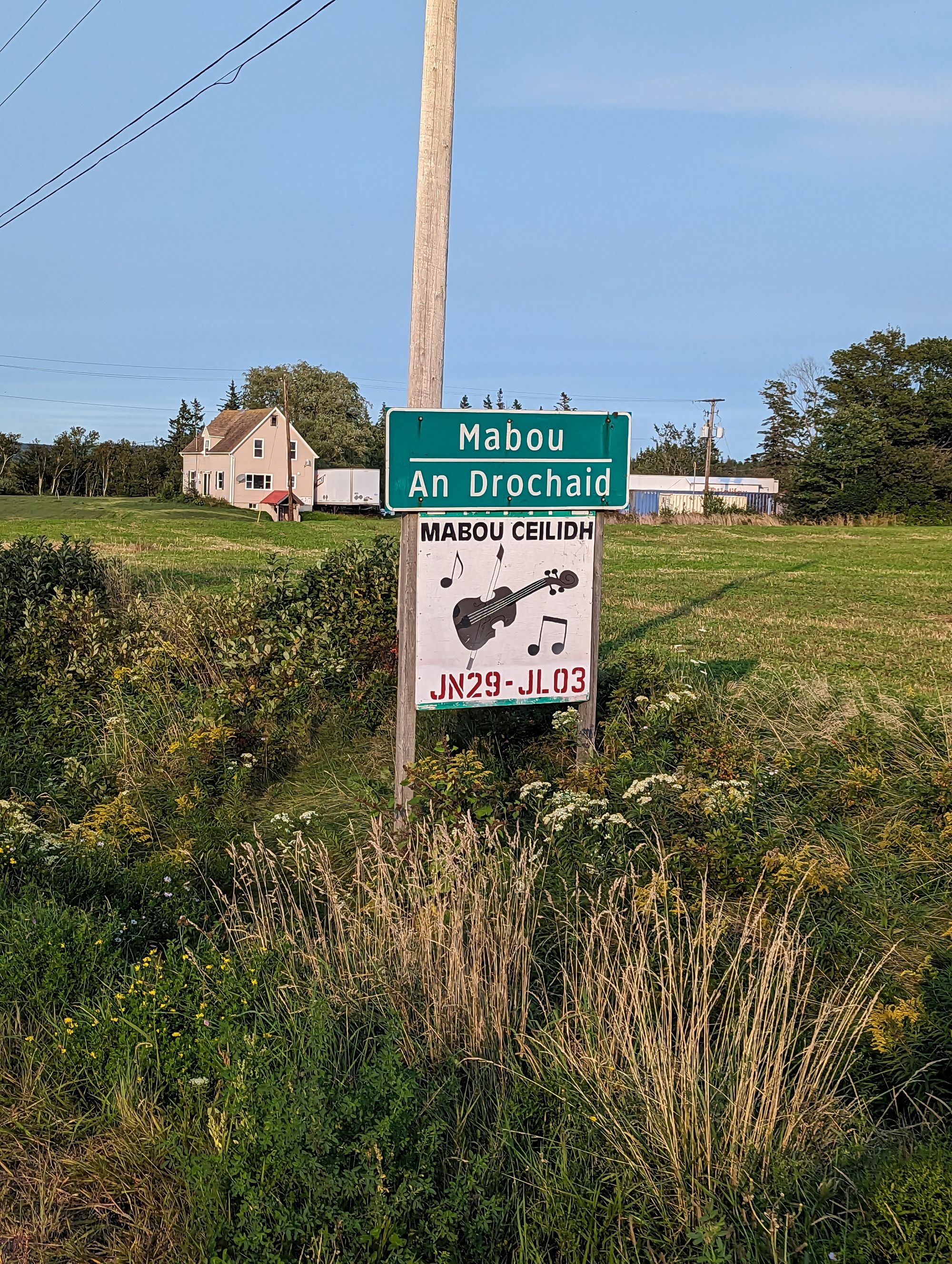
I know Mabou because it is the home of cartoonist and author Kate Beaton whose "Hark! A Vagrant" comic strip was plastered all over the walls of my Masters program. A mix of history, politics, social commentary, and just incredible humour...I've always been a massive Kate Beaton fan. She released a book this past year titled Ducks which is autobiographical about her time in the Fort McMurray oilsands and it has won many awards! She's talked about her home town of Mabou in many interviews, and I was happy to finally get a chance to visit. Unfortunately, I didn't bump into there while I was there.
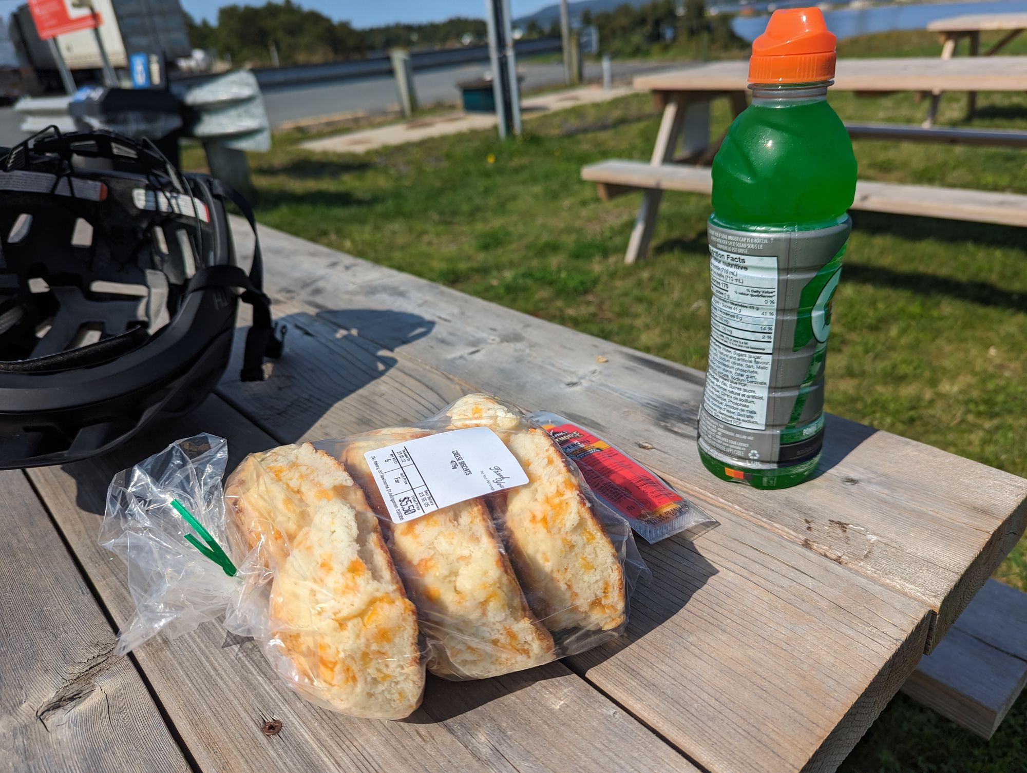
And Mabou did not disappoint. The hills, the water, the shops. It was wonderful. I stopped at the grocery store for a snack and tried to find any nearby campgrounds but there were none. I had to press on to find a place to stay and had to say goodbye to Mabou. I want to go back one day. It's so beautiful.
It was now 6:45 and the sun was setting. I had one hour to get to Inverness about 20km down the road or risk riding in the dark. It was already darker than I wanted to ride in and I pushed off. It was all uphill out of Mabou unfortunately. I dug deep and ground my way out of the valley. I also took basically no pictures. After a few kilometers I crested the ridge and started downhill. I turned the blinking red light on on the rear of my bike so people could see me. Just a few kilometers out of Inverness I saw a campground and pulled in. It wasn't the one I had been aiming for, but any place would do as it was getting dark!
I registered, setup my tent, showered, and immediately went to bed. I'm sure I'll pay for not having eaten any supper...but I was tired, it was very cold, and I was exhausted. I curled up in my tent and was out as soon as I closed my eyes.