Day 111: Inverness, NS -> Cheticamp, NS
Jeremy pushes more hills, hits the coast, and discovers why this area is talked about so much
Date: Sunday, September 3, 2023
Start: Inverness, NS (Maple Meadows Campground)
End: Cheticamp, NS (Cape Breton National Park - Cheticamp)
Distance: 80km
The morning found me rising in my tent and like so many other mornings recently...my rain fly was soaking wet inside and out. I had expected it to be fair. The spot I was camping was not ideal, or even decent. I had just needed a place to sleep and taken whatever I could get the night before. Now I would have to wait for the sun to rise to dry my tent out, which meant I likely wouldn't be leaving before 10am.
It was 6:30am and instead of fussing with my tent I decided to grab my laptop and go catch up on blog posts. The laundry room at this tiny campground had a table, chair, outlet, and wifi. It was all I needed! I sat down and over the next 3 hours I banged out and posted two blog posts. What was even better was that I WAS ONCE AGAIN CAUGHT UP ON BLOG POSTS! I DID IT! I could finally spend the day riding without that cloud hanging over my head!
Of course...it was almost 10:30am and I had not put anything away and wasn't sure if the tent was dry yet. So It was time to go pack and hit the road. Thankfully I had planned for a shorter day of only 65km-80km because I noticed I was feeling really tired from the previous days pushes. A shorter day might allow me to relax on the ride a bit rather than grinding till sunset just to setup in the dark, eat whatever was handy, and fall asleep in a rush. I wanted to finish riding and have some time to sit and blog, relax, look around, and take it all in. Time to do less distance and enjoy the trip again.
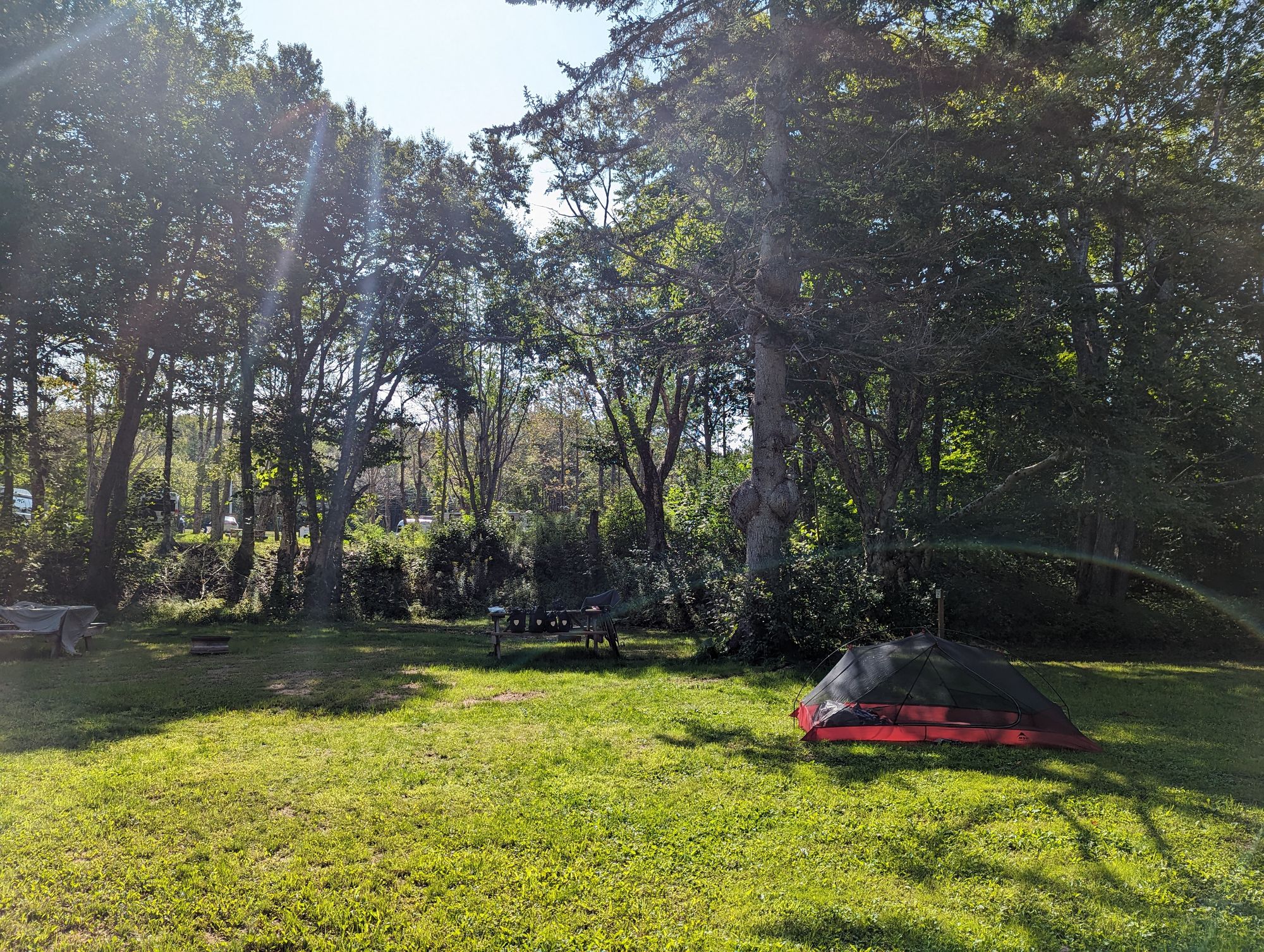
The area I was staying was hilly and so the Sun took a while to finally crest and shine through the trees. I managed to find enough sunlight that I could dry the last bits of moisture out of the tent, packed up, and was ready to go at 11:15am.
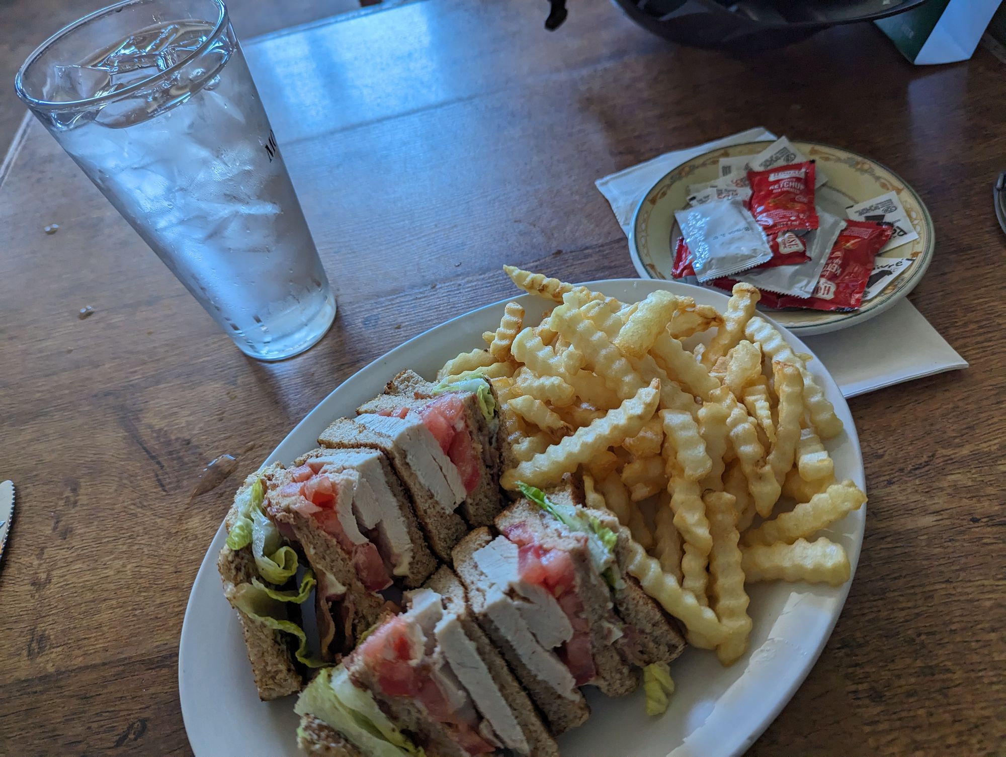
The town of Inverness was only a few kilometers down the road and so I went into town and found a restaurant called The Coal Miners Cafe. When I walked in they informed me that breakfast was over and it was now lunch. Of course it was...it was almost noon! I ordered a club sandwich and ate it up. Breakfast and lunch in one plate I guess!
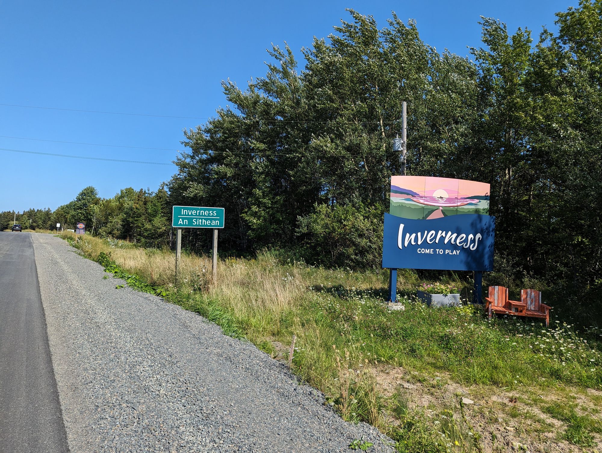
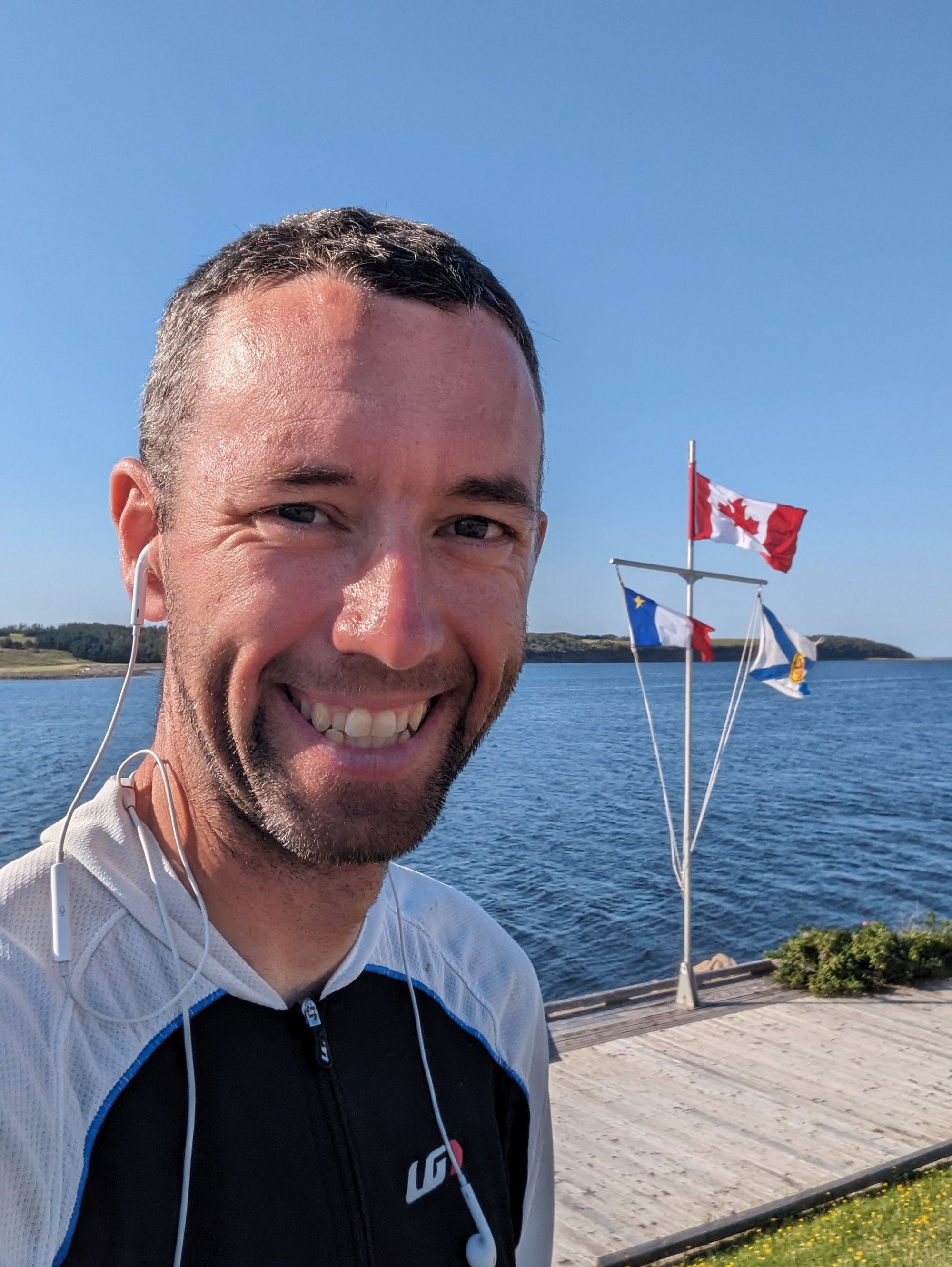
As I set off out of Inverness I looked back and saw a pretty little scene of the bay and some rocky point in the distance. I snapped a picture and reminded myself to try to look back more often. Who knows how many incredible views I've cycled past without looking back!
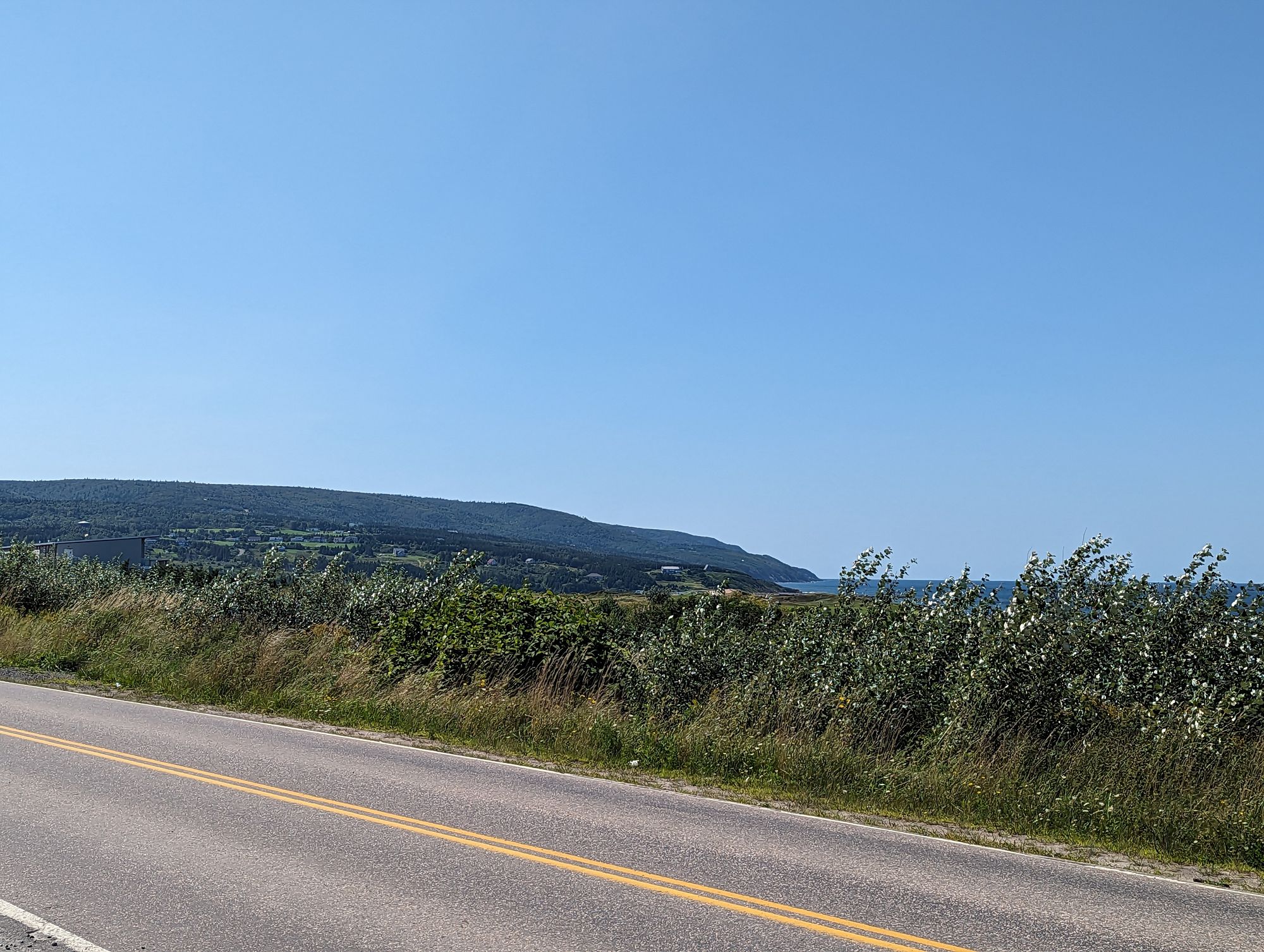
Not too long thereafter I started climbing. It made sense. There was a mountain I knew of to the Northeast of Inverness for which a song was named: Gillis Mountain (HI SARAH!). And so as I climbed I once more popped on some music by The Rankin Family and enjoyed the views of the area that inspired their music.
I eventually crested the pass around Gillis Mountain and noticed that I was going horribly slowly. I knew I was climbing...but I felt terrible. I had a headache. My joints ached. I felt sluggish. I took some time to contemplate why this might be. After a while it hit me.
Caffeine.
Skipper and I had been eating out for breakfast quite regularly and I would indulge in one, two, and sometimes three cups of coffee each morning. I figured this wasn't a problem since I was working it off pretty quickly each day. But since he's left I've been eating out less when I'm biking...and going without coffee. I might be experiencing withdrawal!
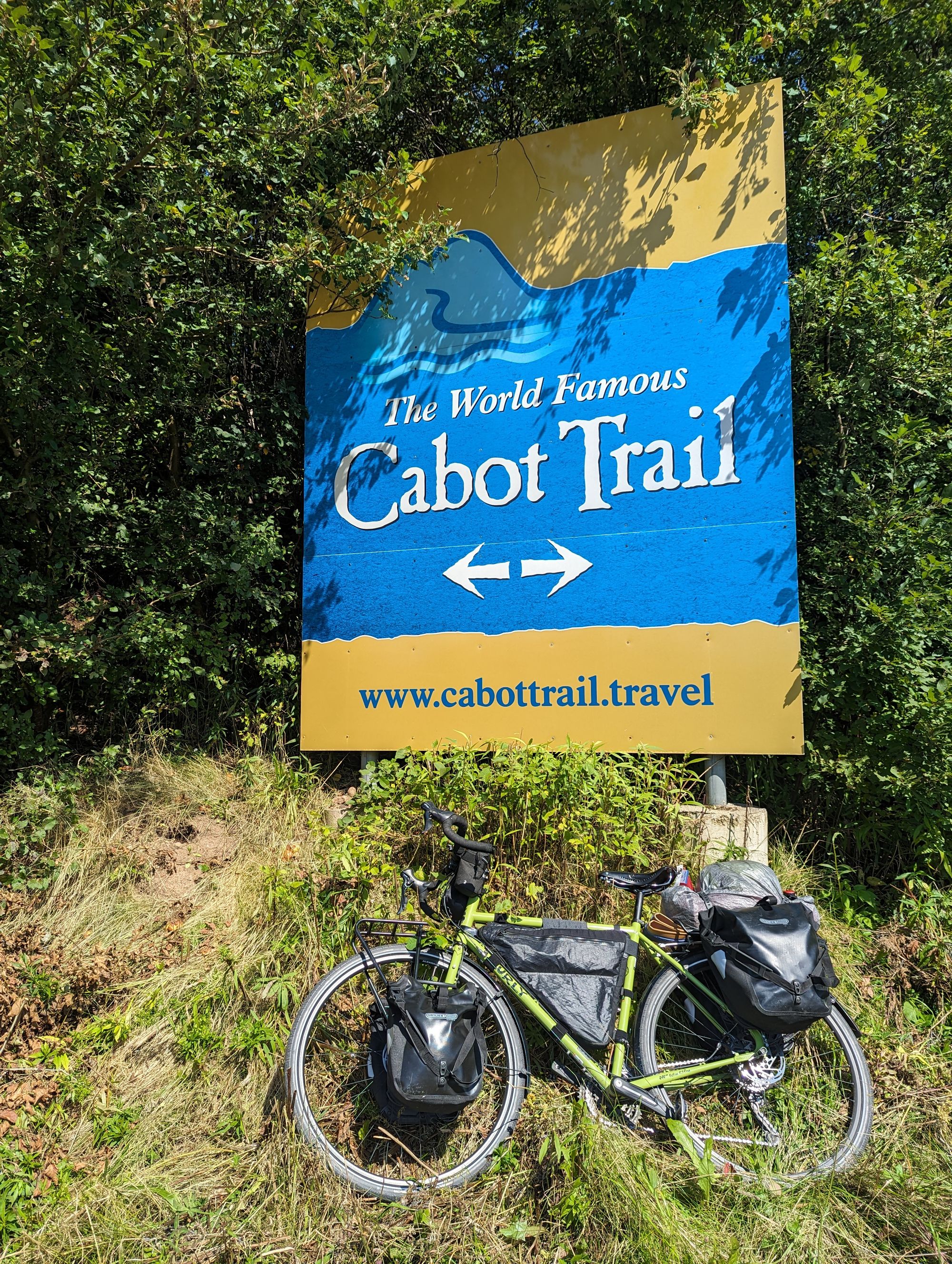
I rolled into the area of Margaree after a few hours. There are a few towns that use the name - South West Margaree, Margaree Harbour, North East Margaree - but the one I was interested in was called Margaree Forks. This is where The Cabot Trail starts if you're coming from the direction I was taking. Sure enough, I reached the forks and found a sign for The Cabot Trail! I stopped to take pictures and savor the moment!
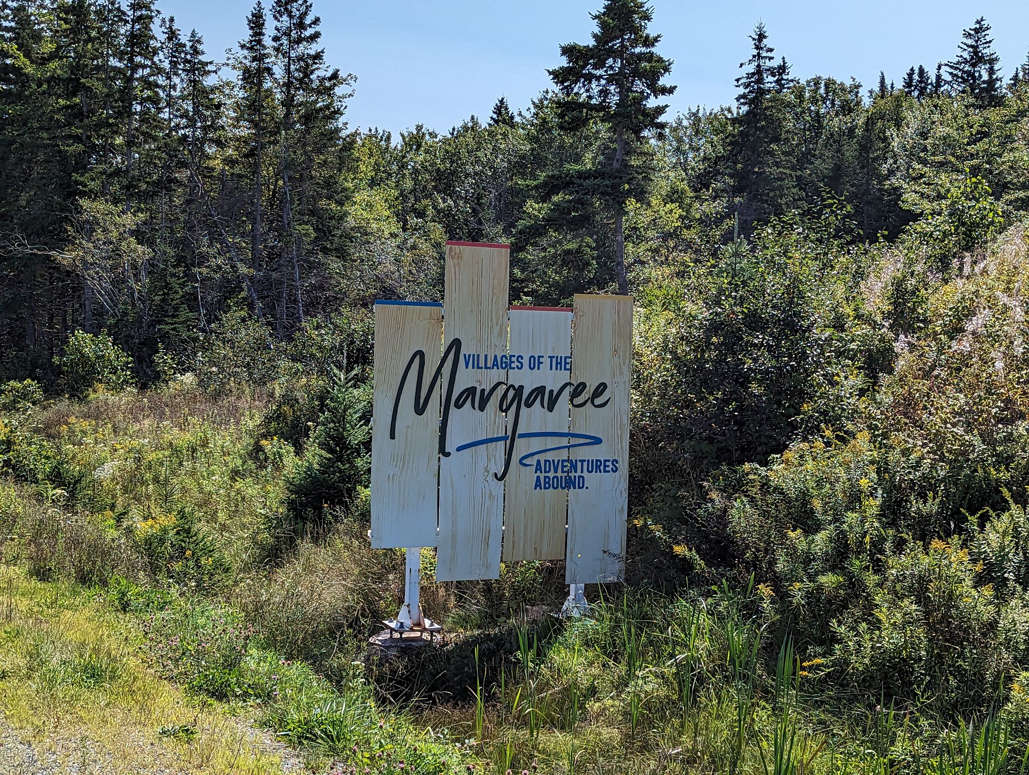
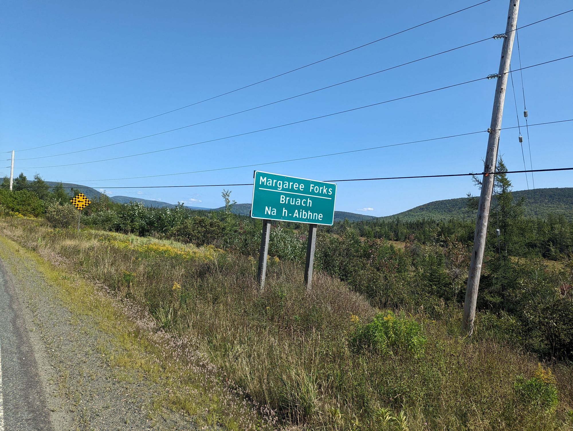
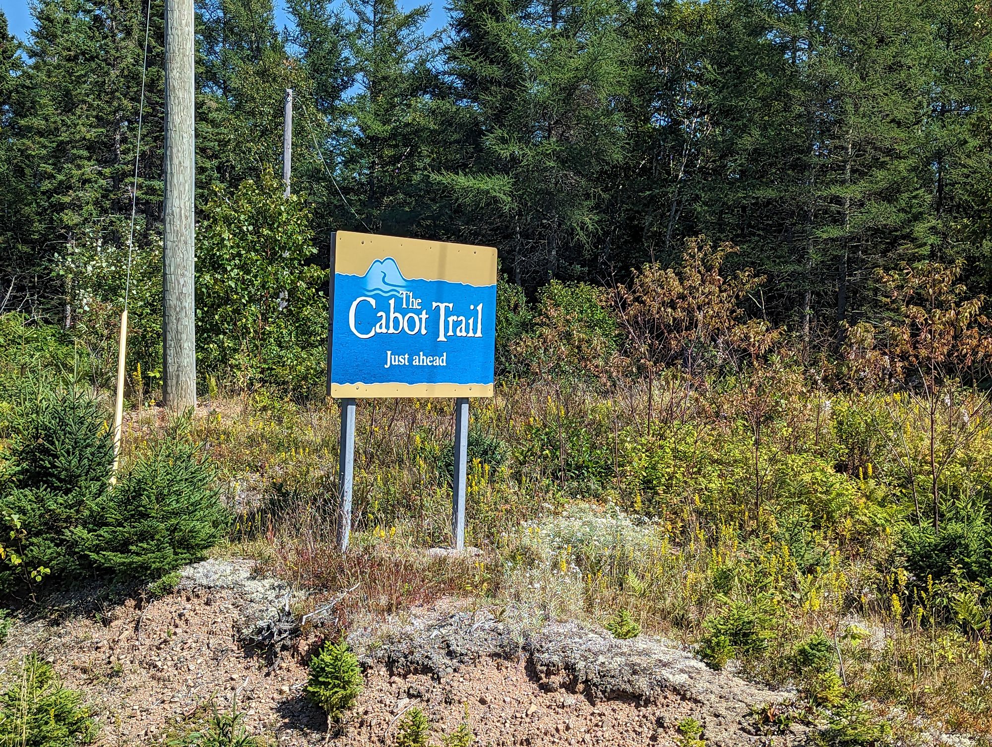
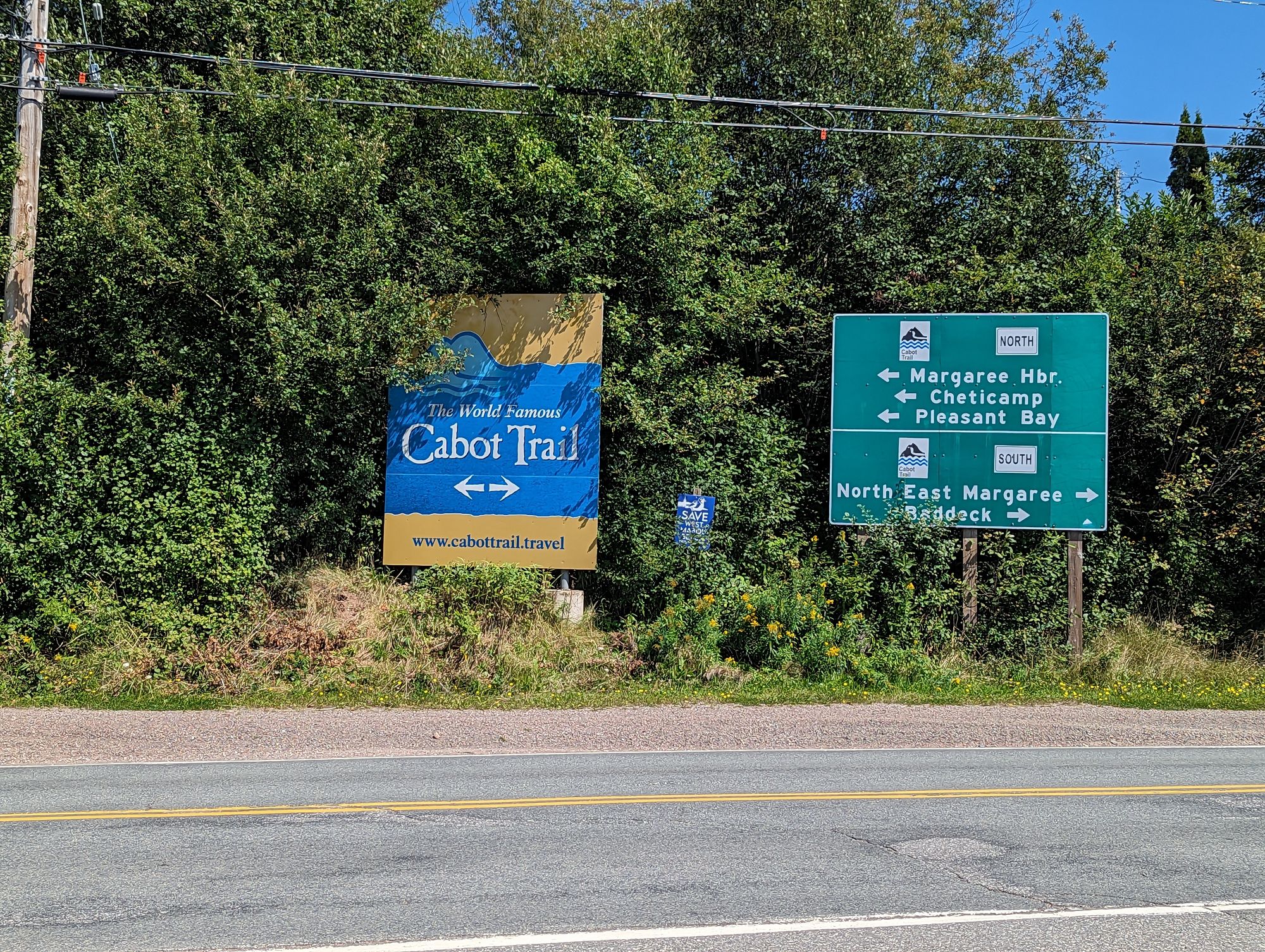
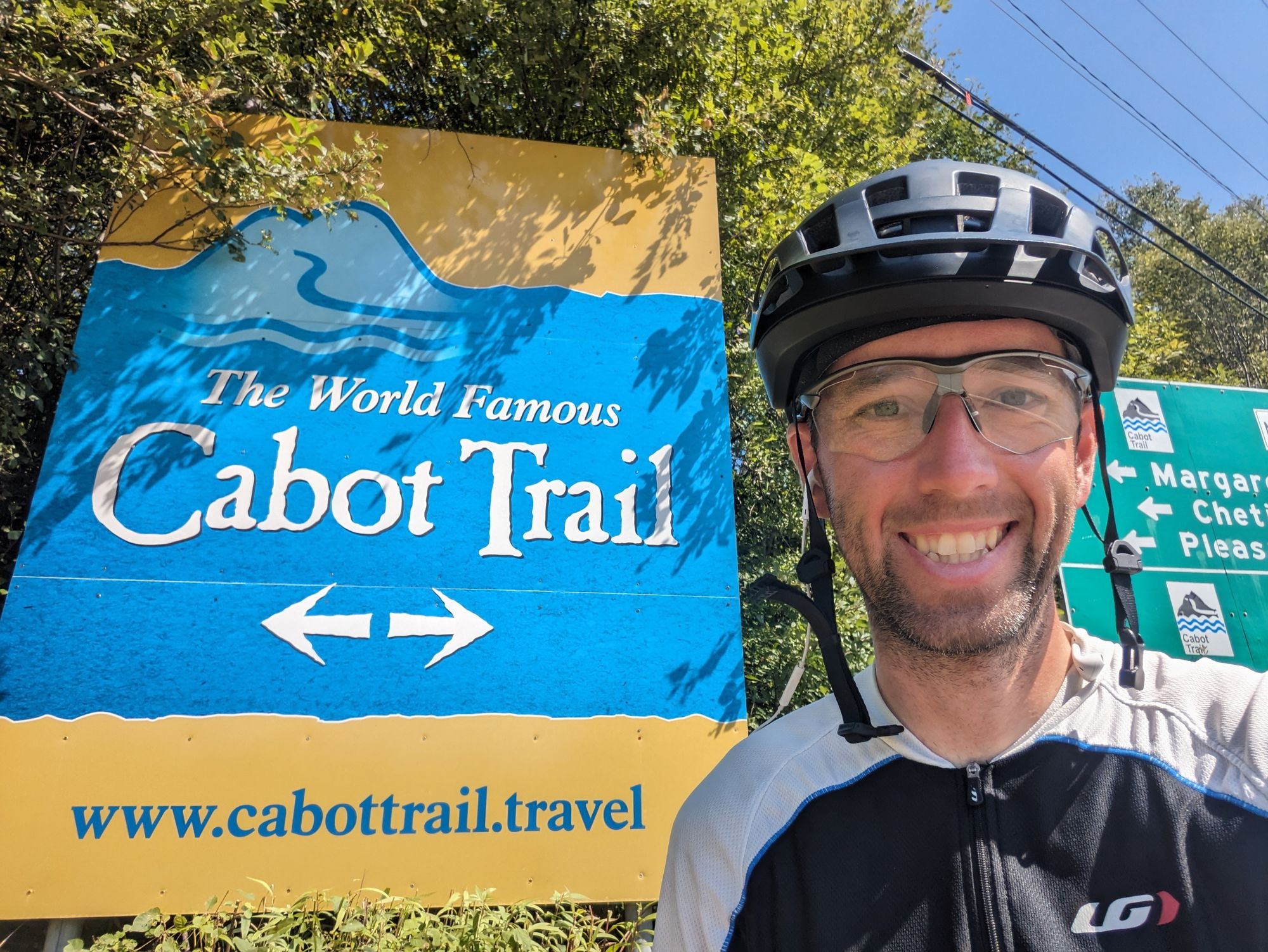
From here I went to the local grocery store and grabbed some candy, a plum, and a milk coffee drink from a company that needs no mention because they aren't paying the bills here! I wanted to test my caffeine theory out. Sure enough, I think it did the trick...which means I need to start weaning myself off of coffee.
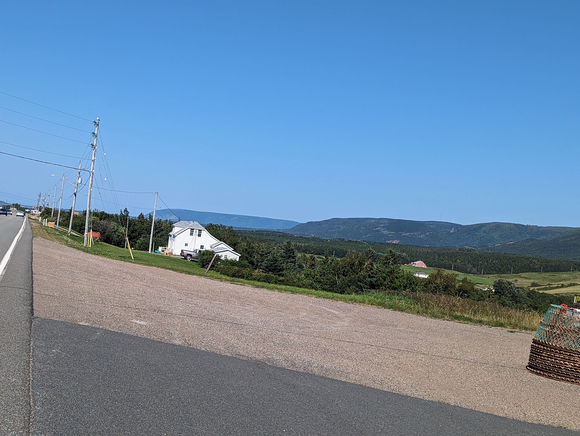
Out of Margaree Forks the road was surprisingly flat. It turns out that the road was following a river - the Northeast Margaree River which is renown for its salmon fishing - and the river ran through a beautiful valley. On the other side of the river on my right was a mountain range, and another line of mountains to the left of me. In the river I could see people canoeing and stand up paddle boarding. The river valley was lined with grasses that danced in the breeze. Small farms lined areas of the valley. It was one of those all too picturesque moments. Oddly, it reminded me a lot of the area I grew up in...
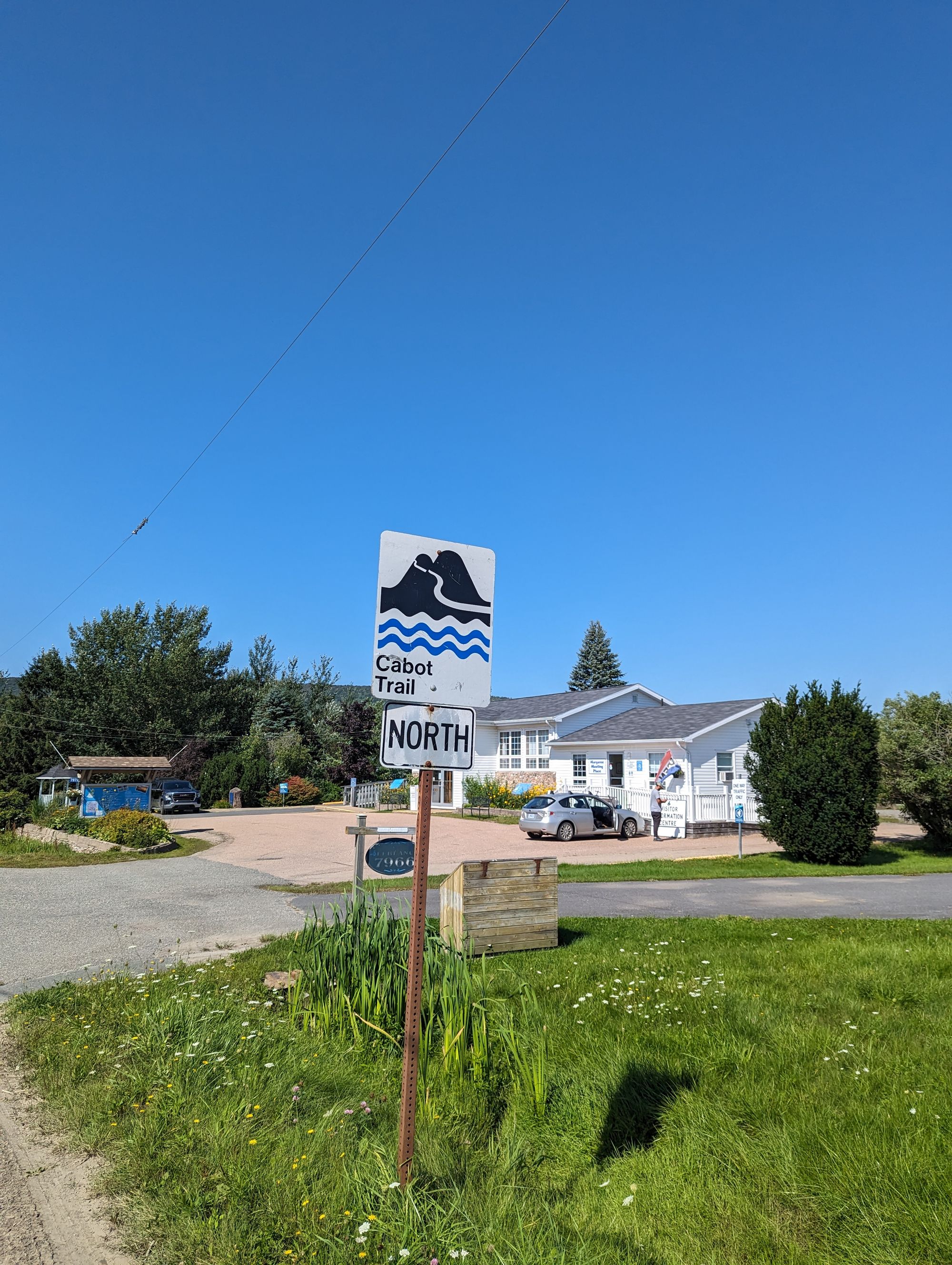
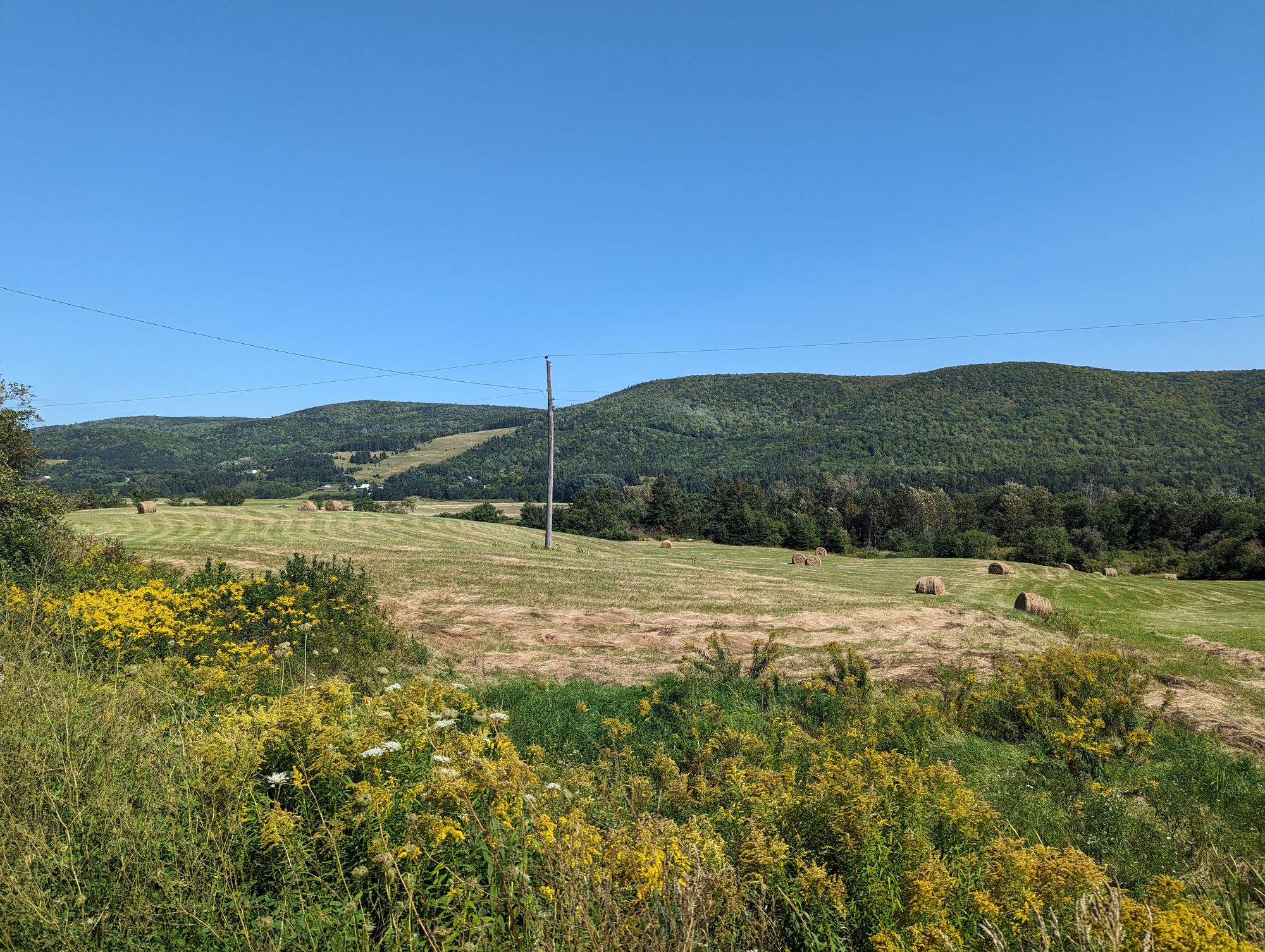
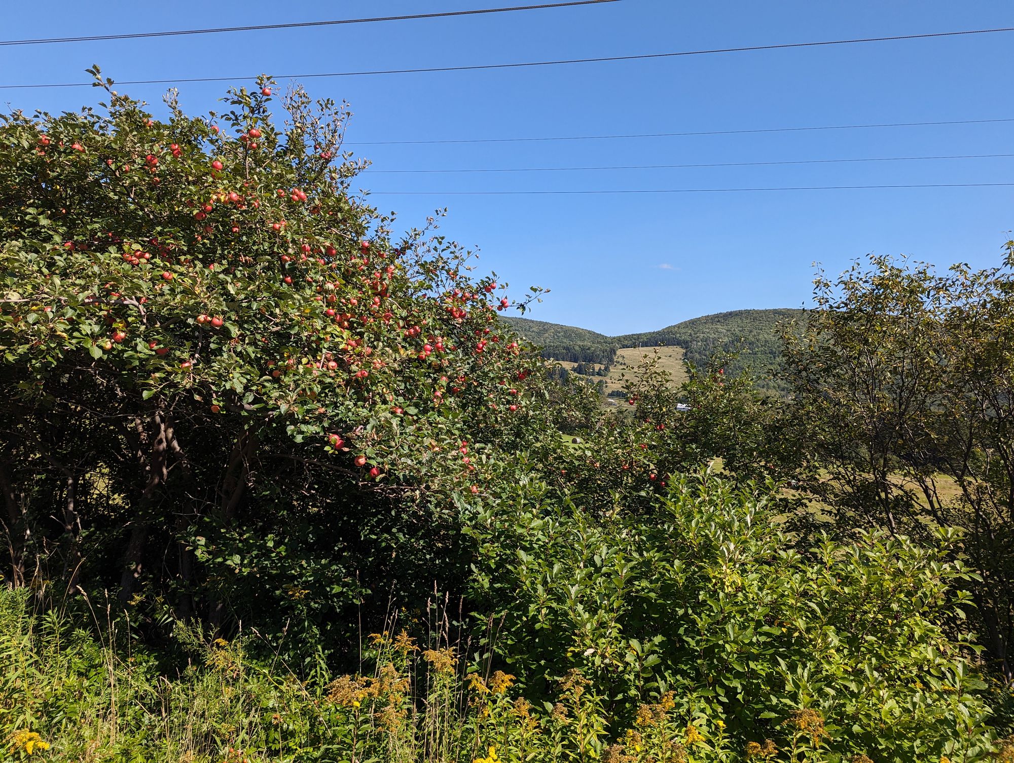
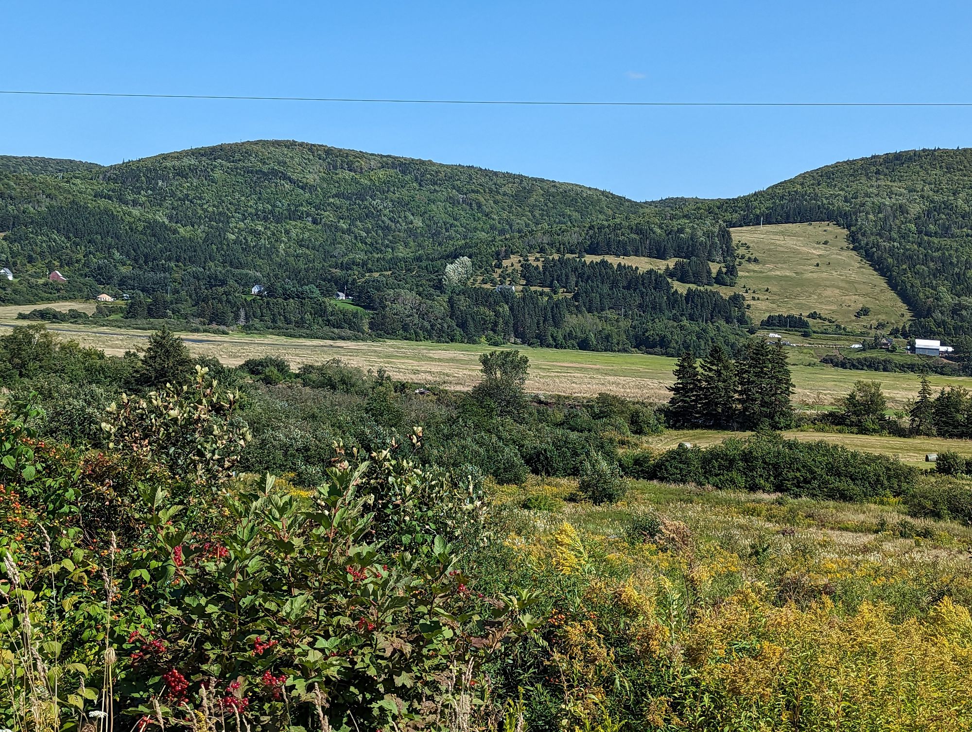
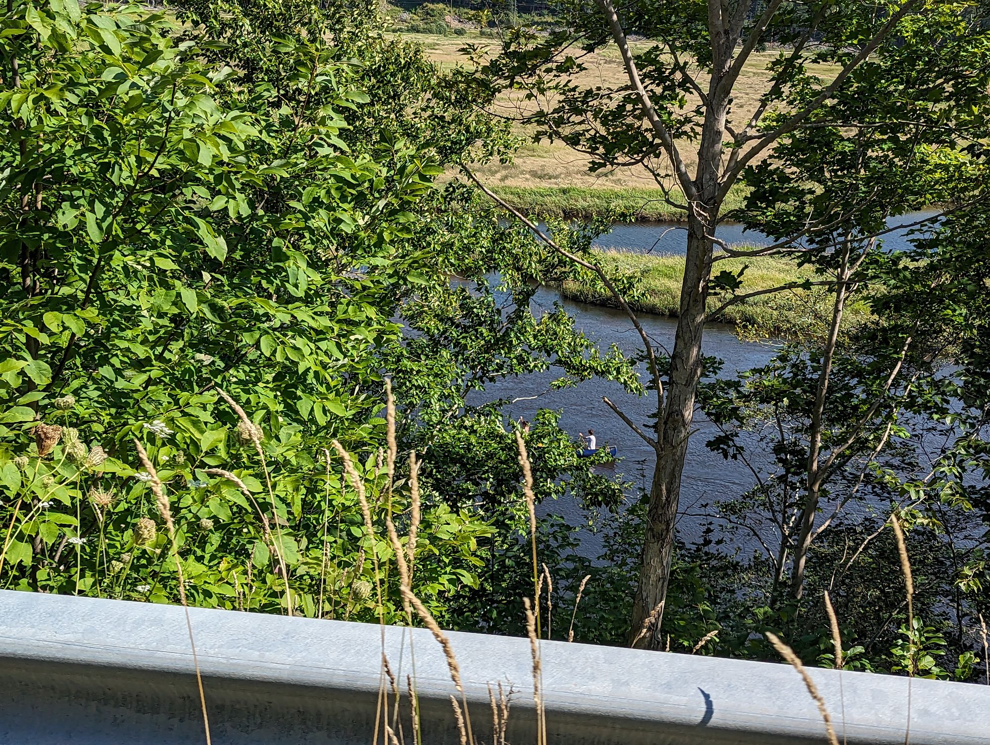
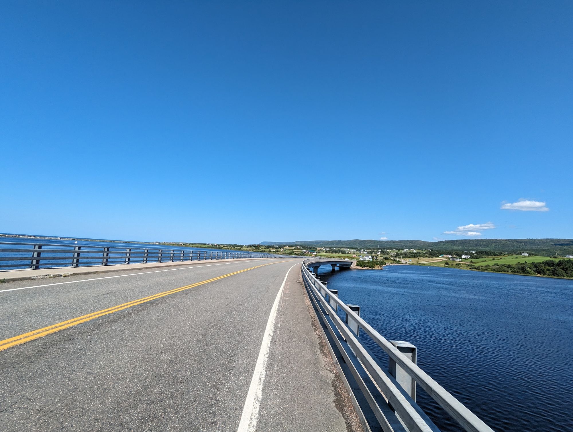
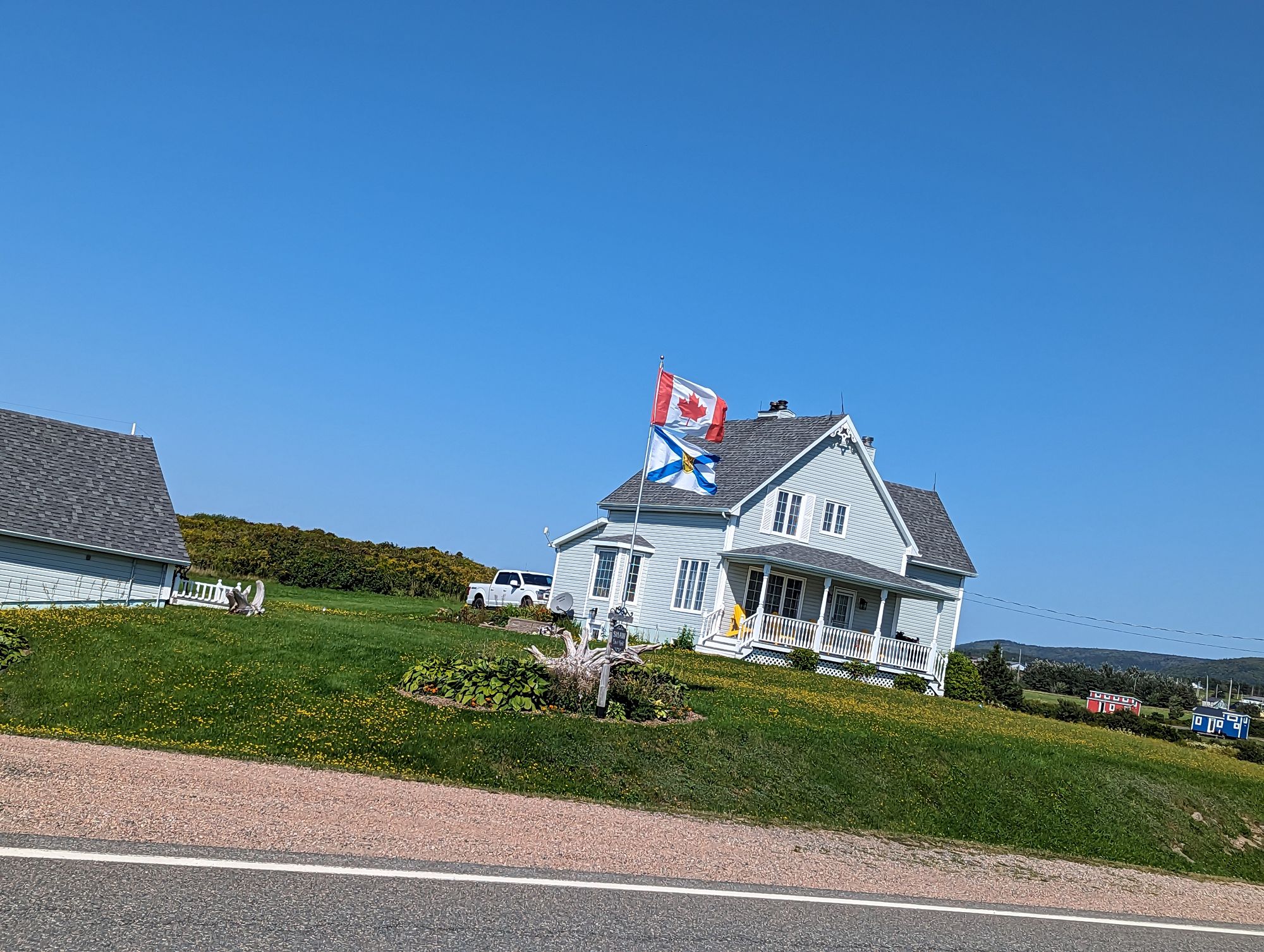
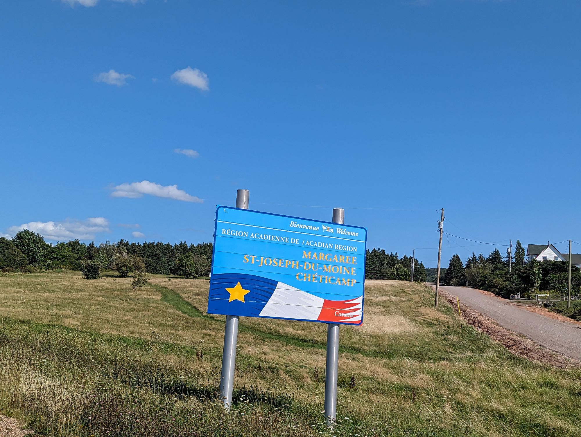
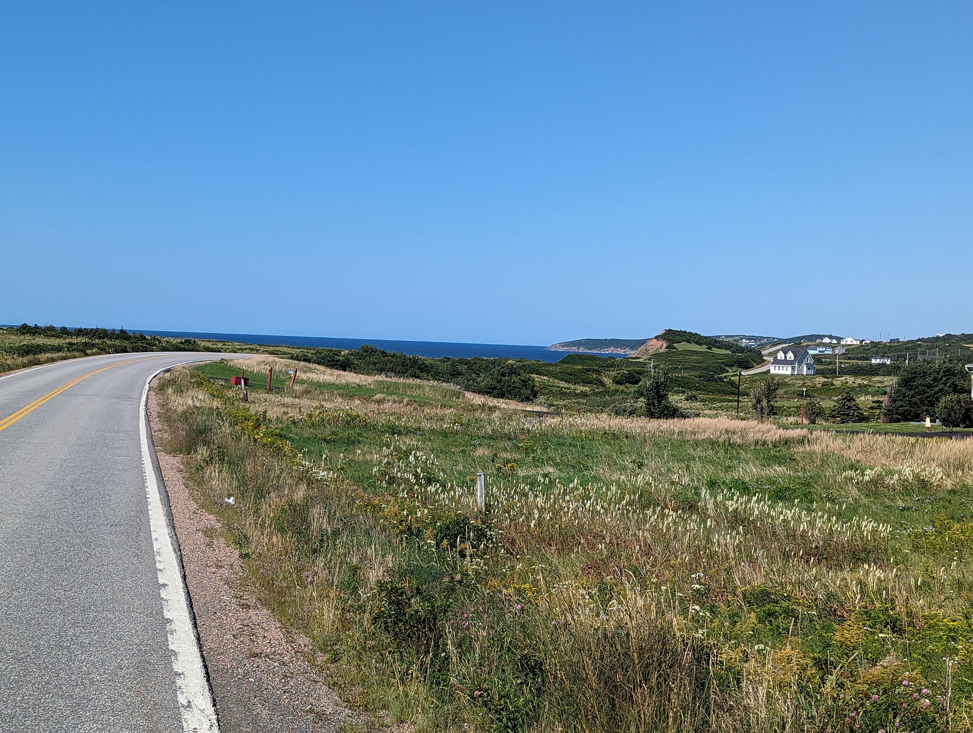
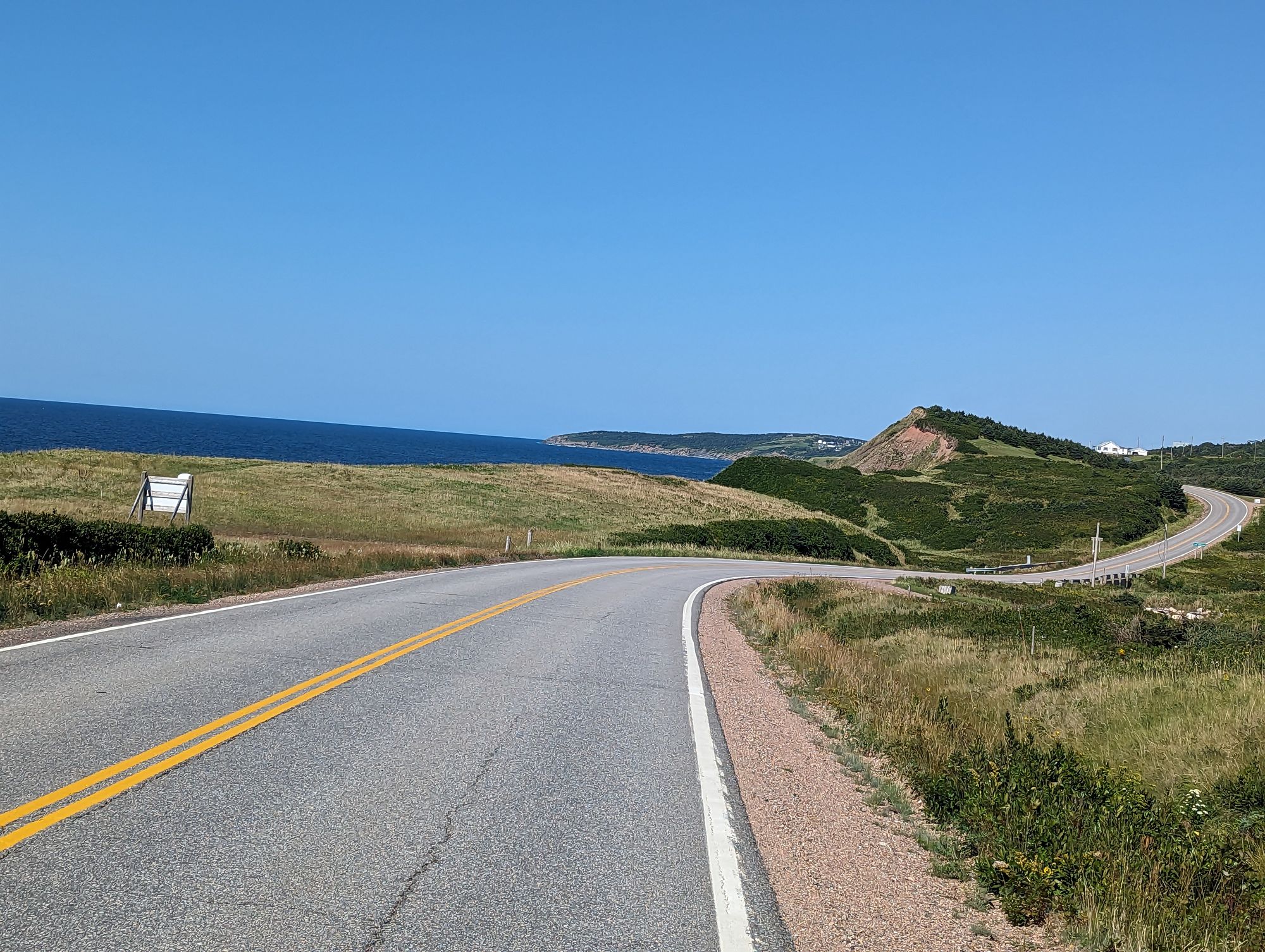
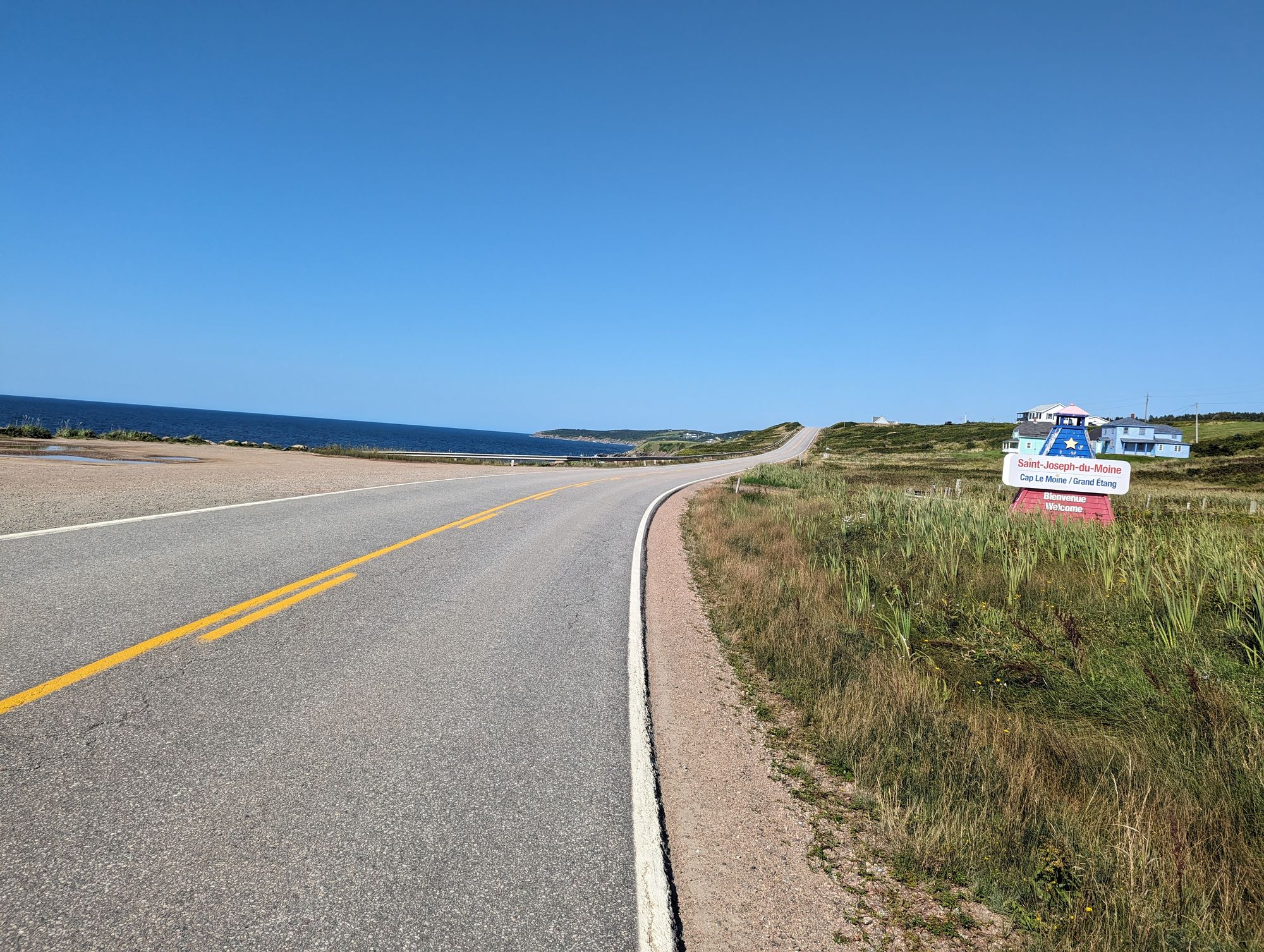
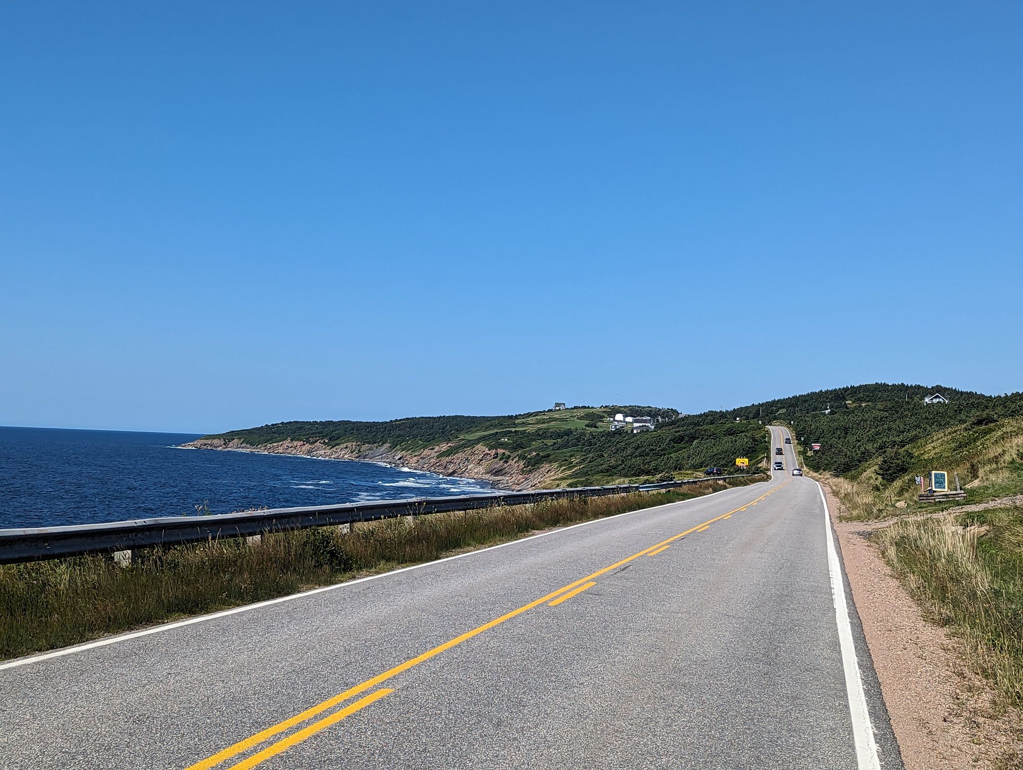
At the other end of the valley I emerged back onto the coast and such incredible scenes of beauty as I cannot describe. Margaree and northwards form another Acadian area of The Maritimes. This is the fourth such area I have been through (East Coast New Brunswick, Miscouche in PEI, and the Southeast shore of Nova Scotia). I remember someone in Bouctouche, New Brunswick telling me that this area was worth visiting. They had hedged on that description. It is really something else!
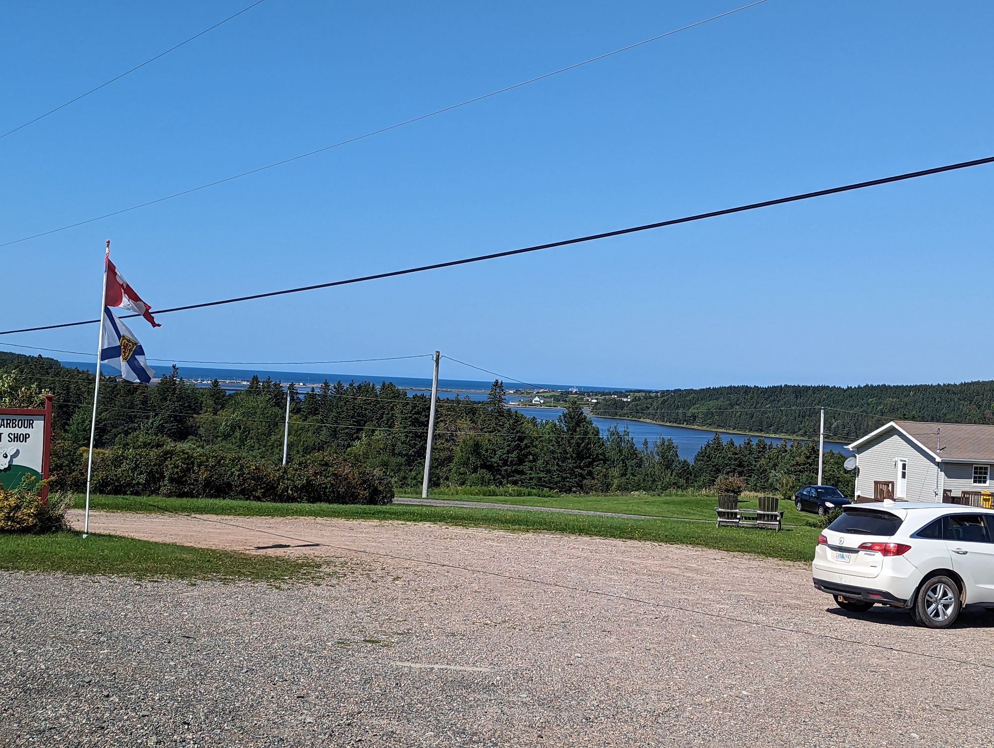
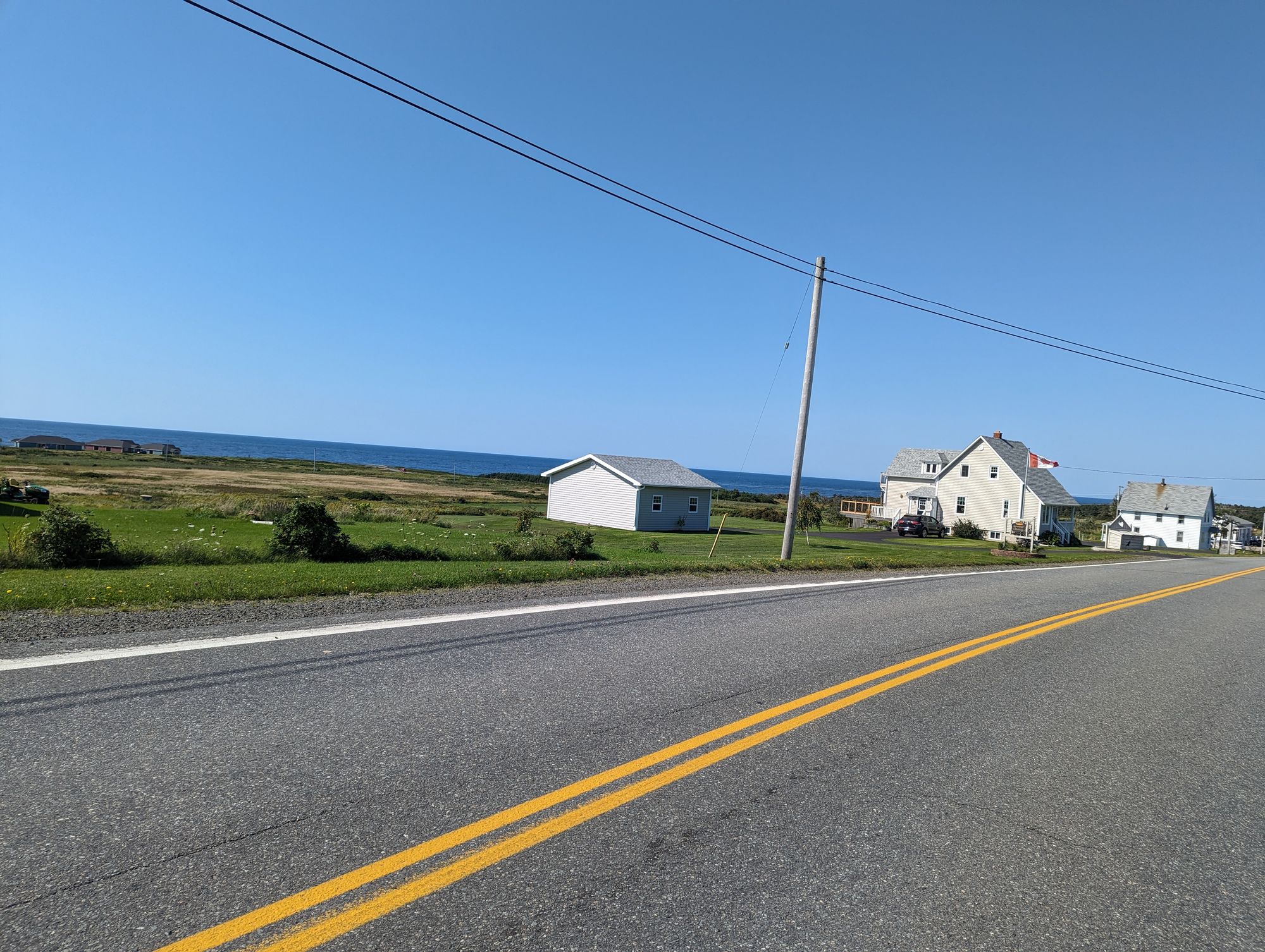
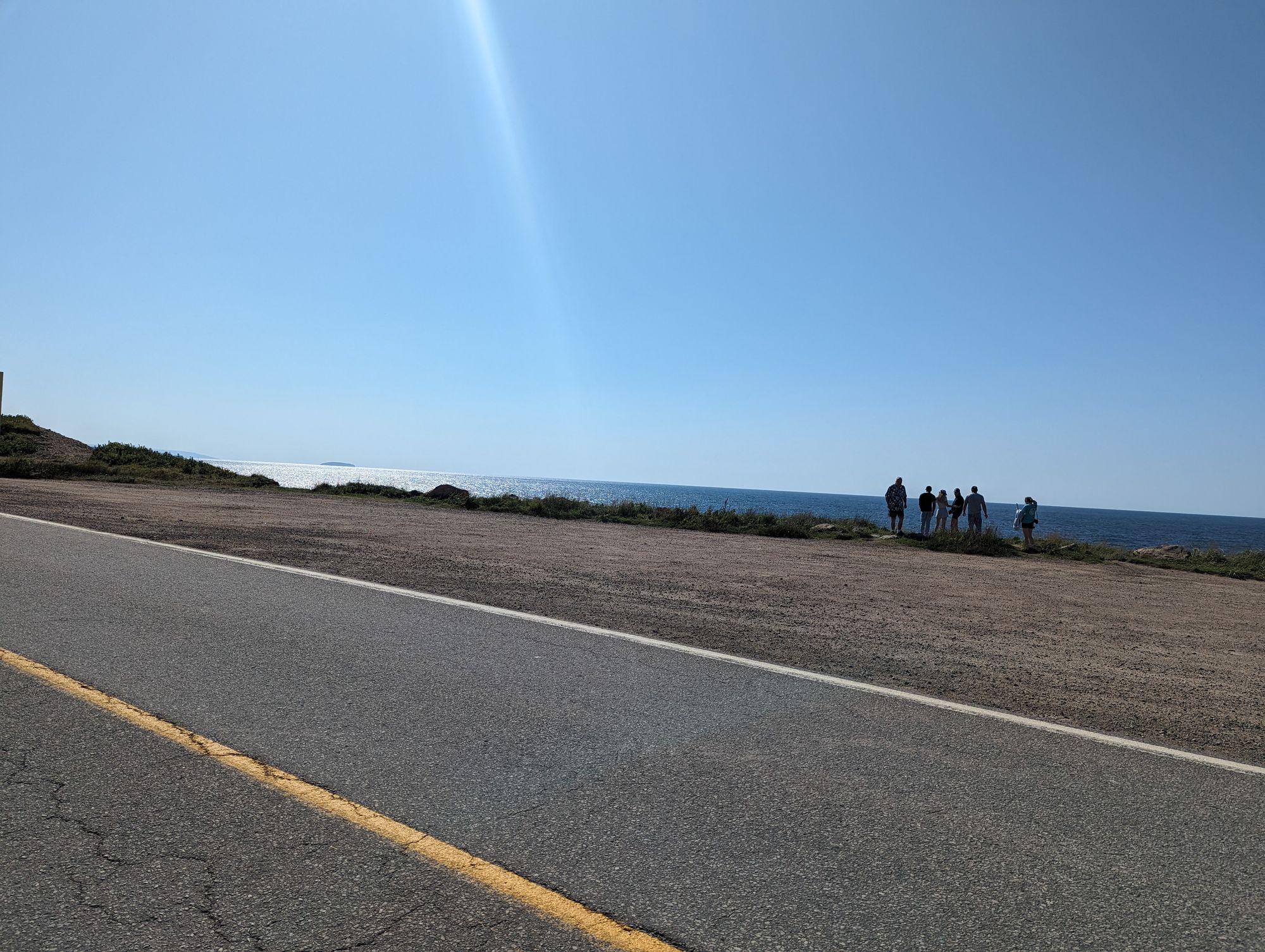
The mountains I had been to were now off in the distance and left a long sloping ridge towards the water. But once the land reached the water it dropped off immediately and formed sharp cliffs. The sloping mountain ridge was all grasses and you could see forever down the coast. These waters are not the Atlantic Ocean, but instead the Gulf of Saint Lawrence. Waves pounded the coastline and each time one made contact an explosion of white shot up as the wave detonated against the shore. It was another "wow..." moment.
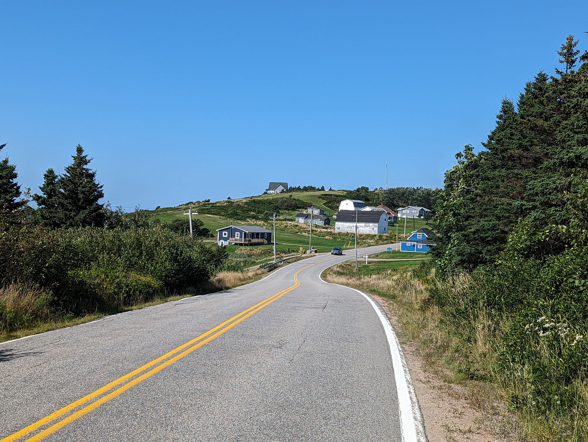
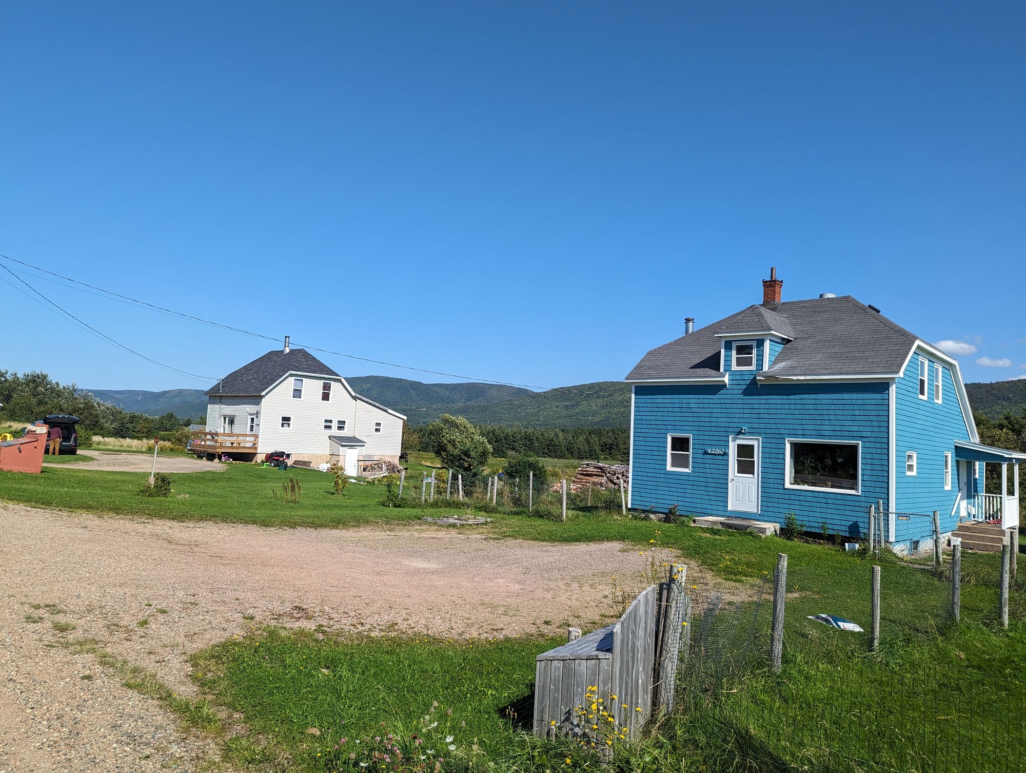
I biked along this area and enjoyed scene after scene of incredible coastline. The houses lined the cliffs and were places at odd angles as they ran up the slope towards the mountains. It was so typically East Coast and reminded me of so many visits to my grandparents house on the Lower North Shore of Quebec.
Rather than try to paint a picture in your mind, why don't I just show you...
As I reached the outskirts of Cheticamp I passed a line of firefighters collecting money for a "boot drive" for the local volunteer fire department. I don't know what the economic situation is like in Cheticamp...but someone get those firefighters some damn boots! I dropped a $10 into their boot and wished them all the best.
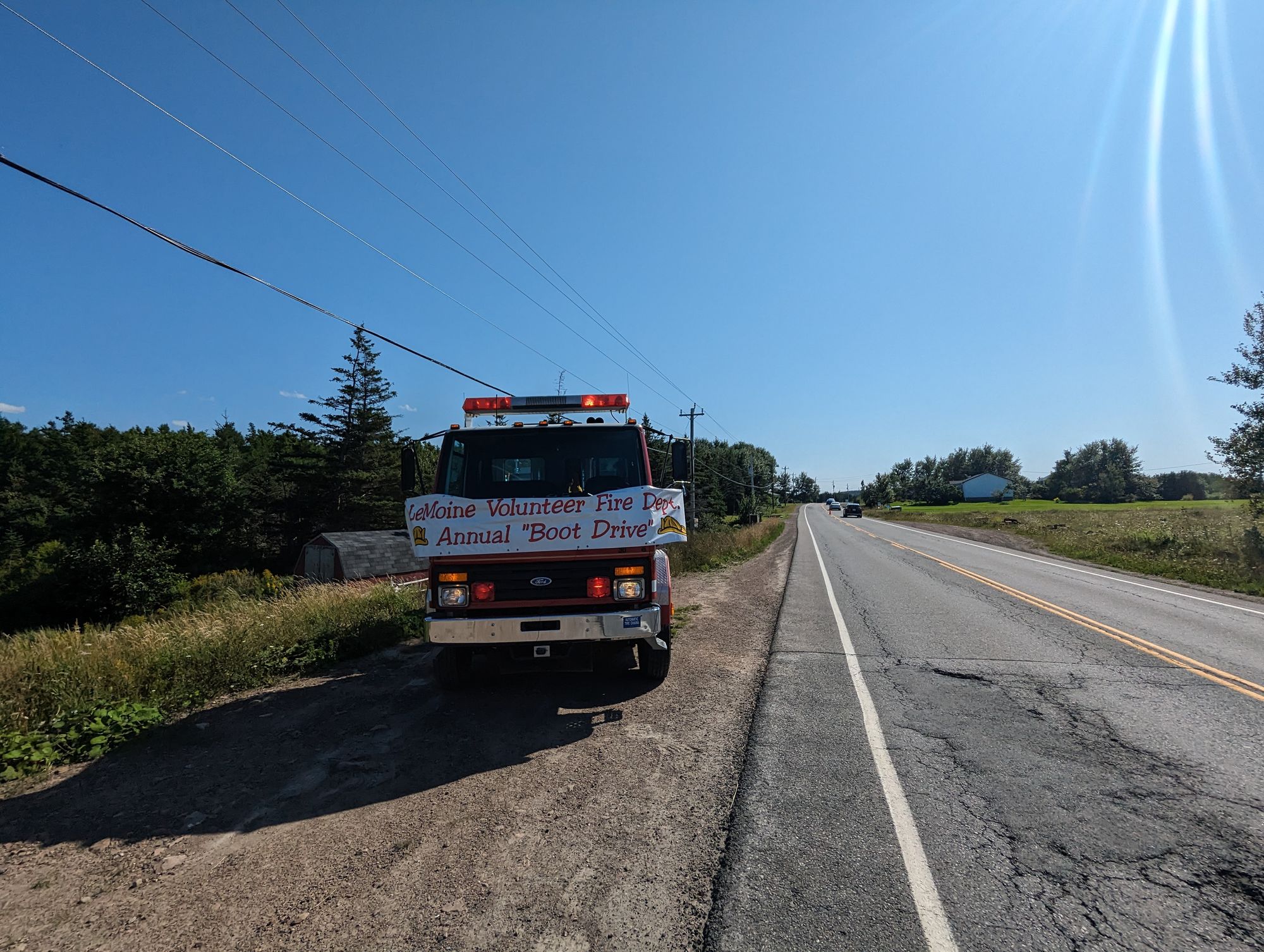
I kept rolling down the coast and passing harbours and pretty little houses. At some point I could see a church steeple far in the distance. It was like the St. Lawrence Coast of Quebec all over again. I guessed that was Cheticamp in the distance. Sure enough, I quickly found the sign for the town!
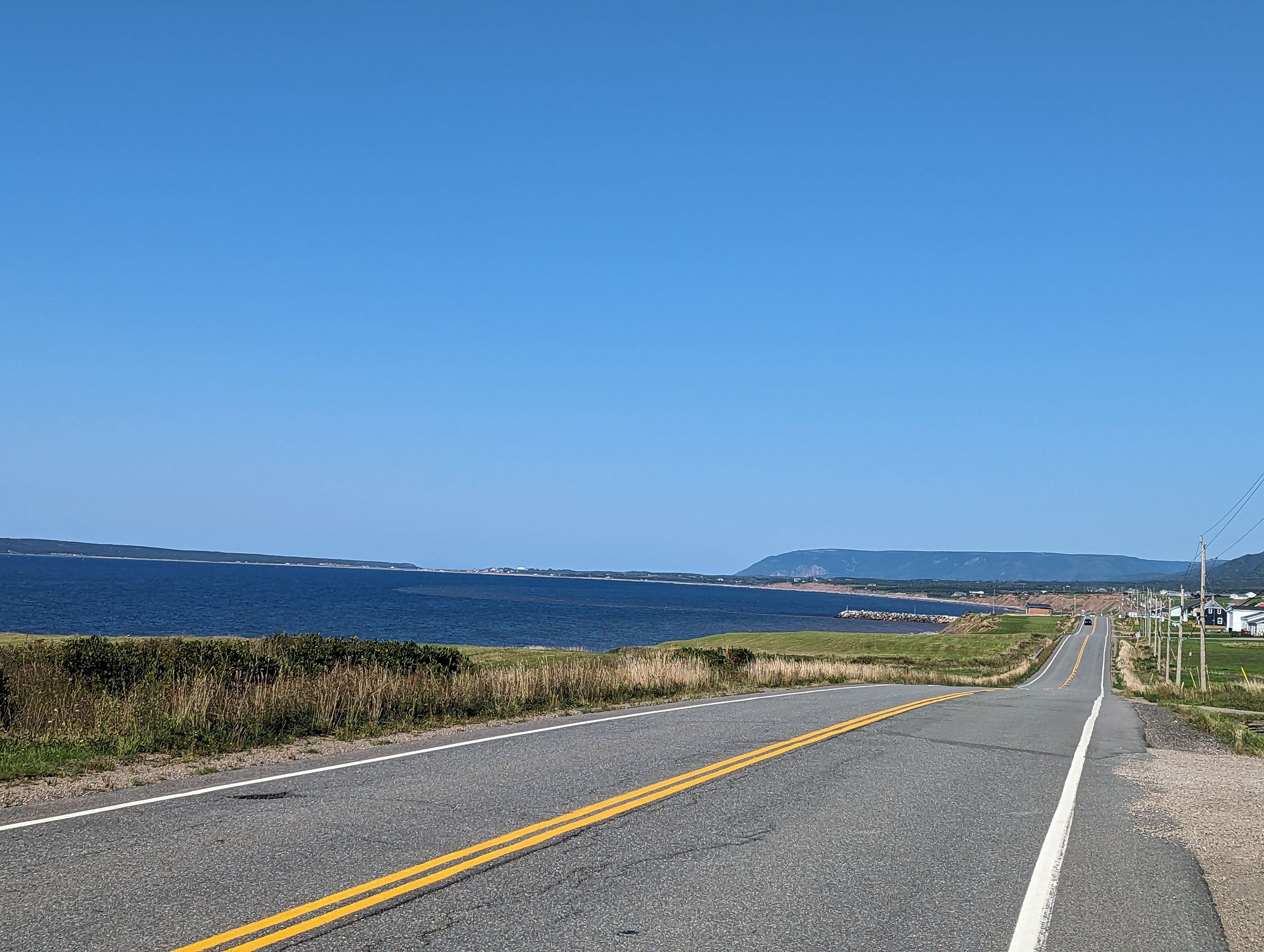
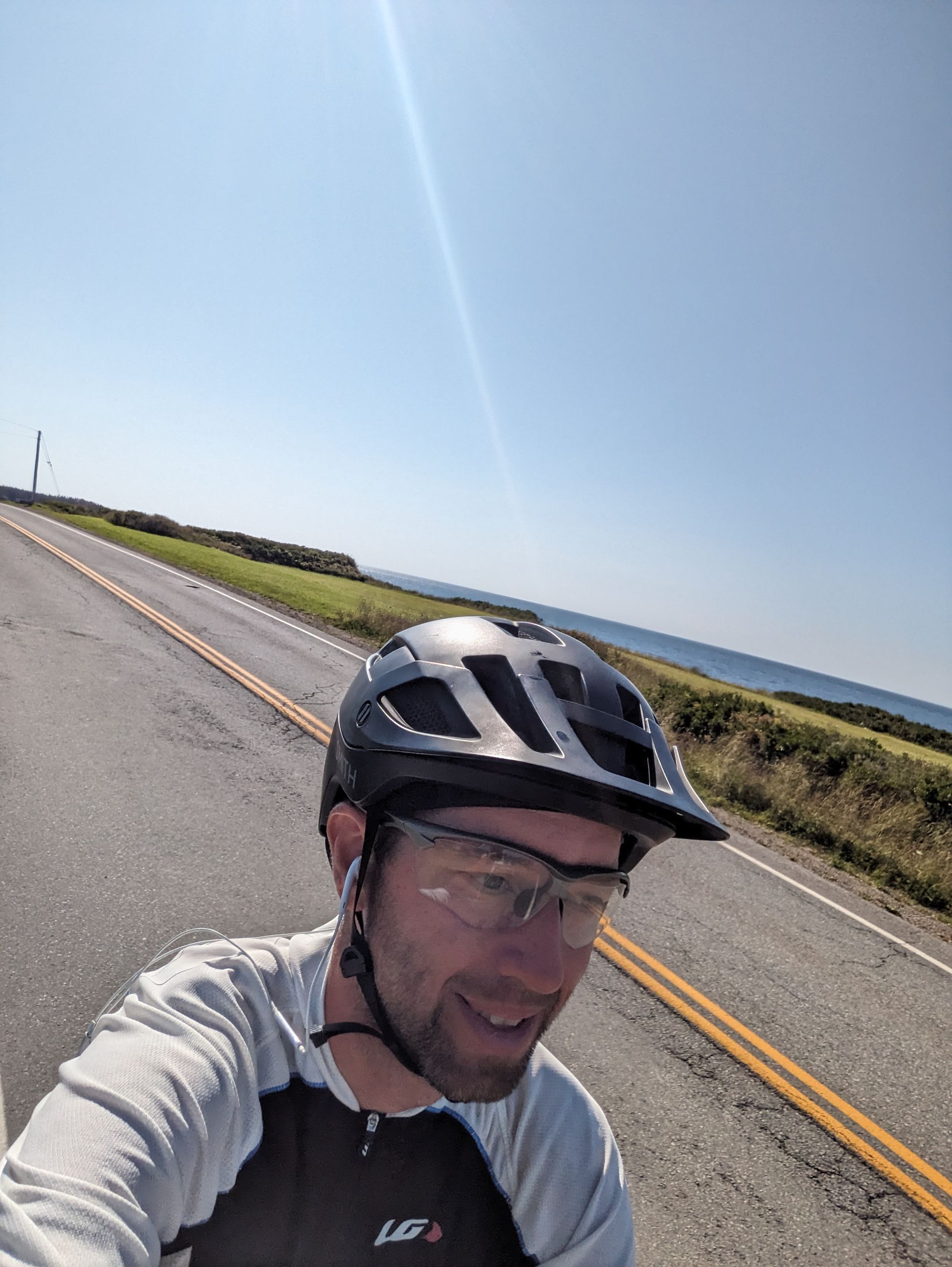
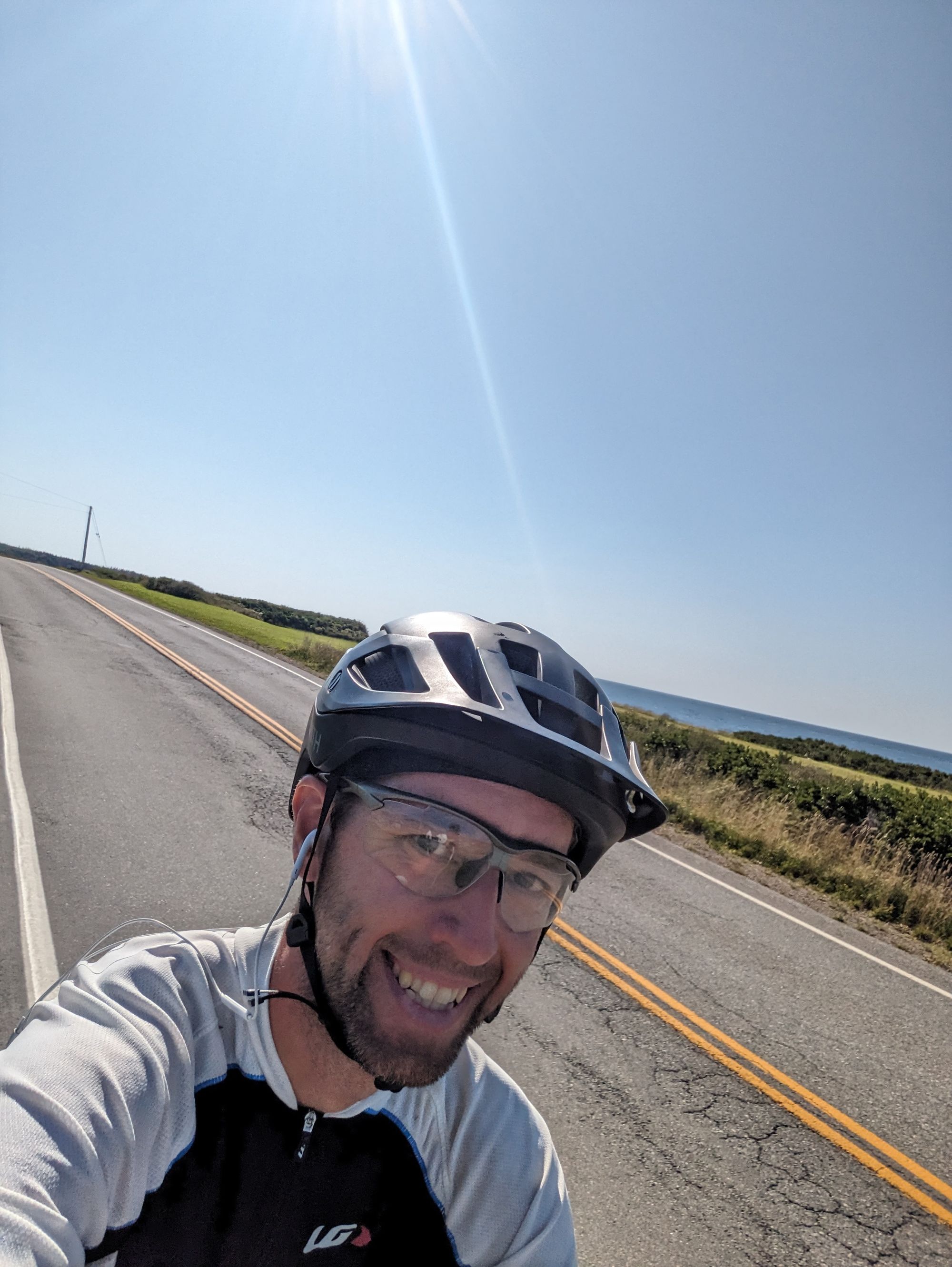
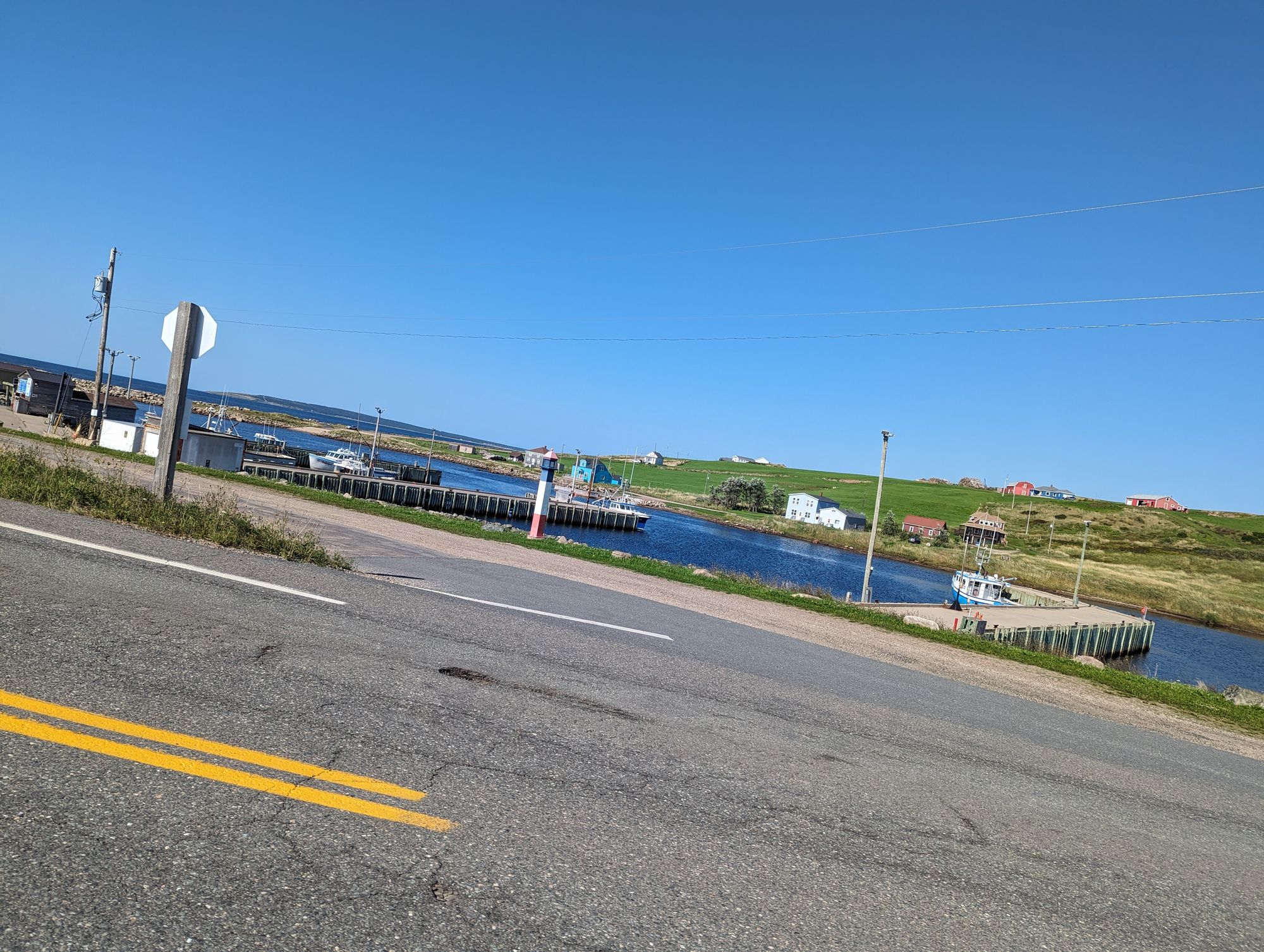
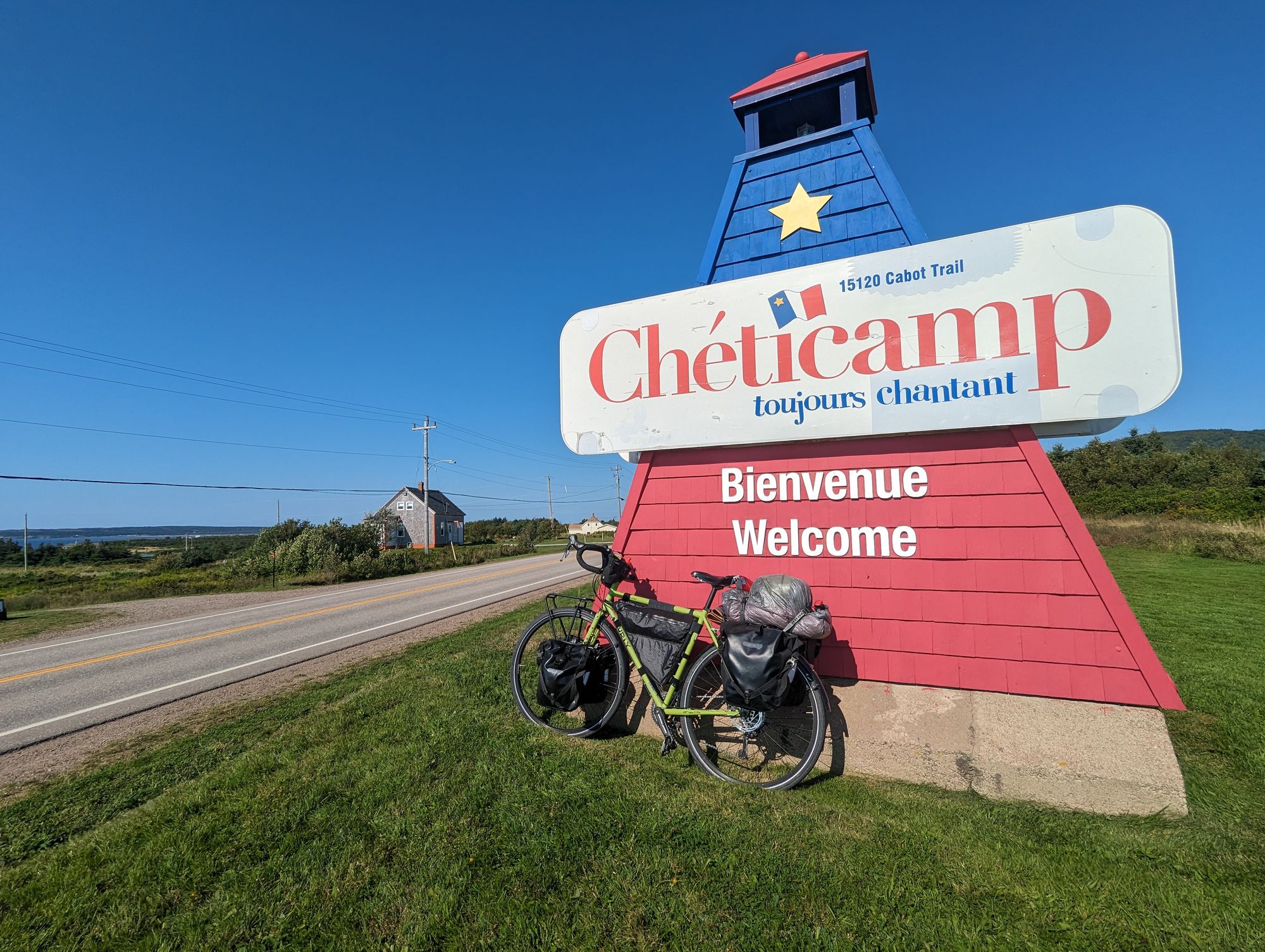
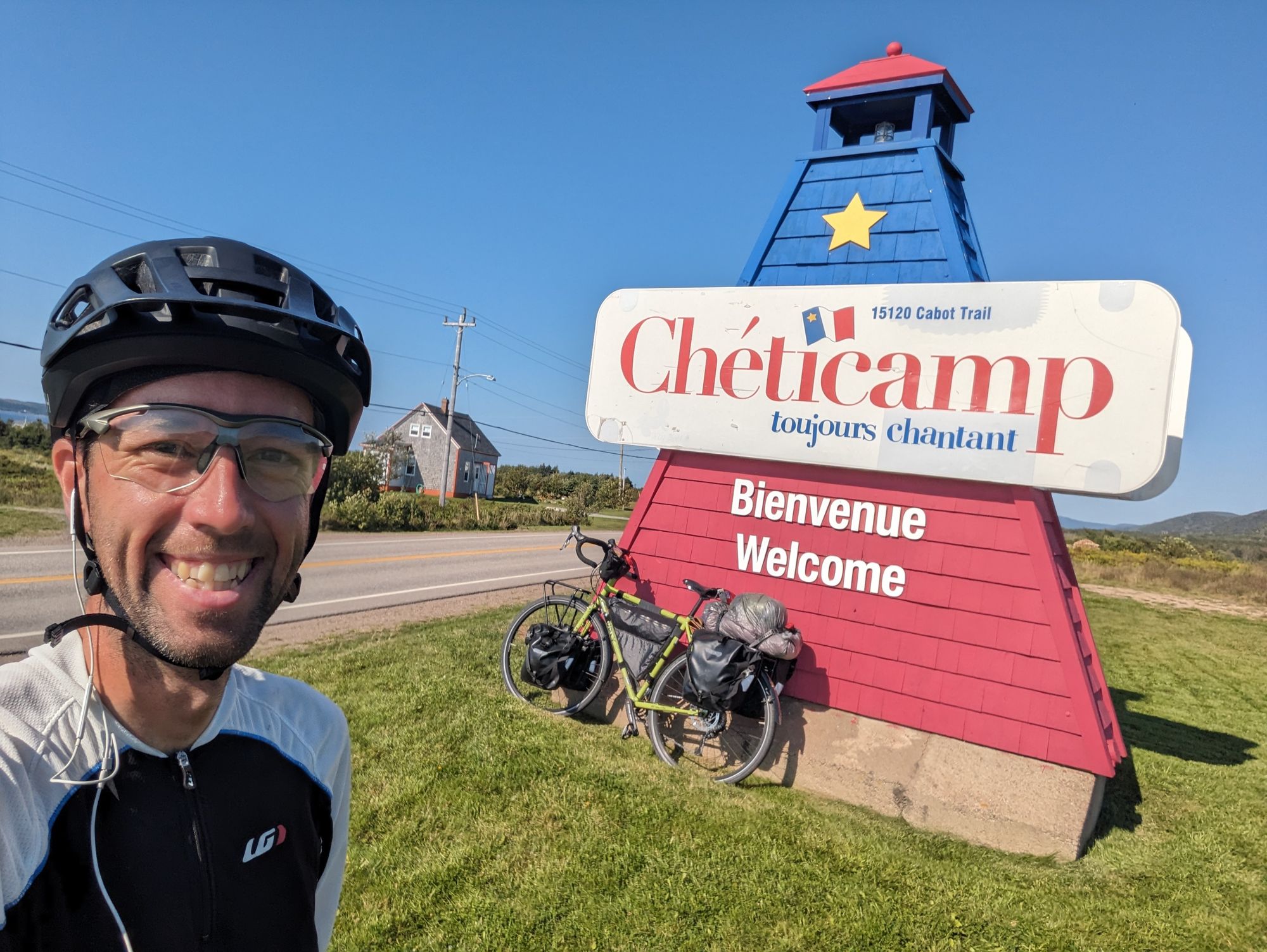
I rode into Cheticamp and took pictures of what I saw.
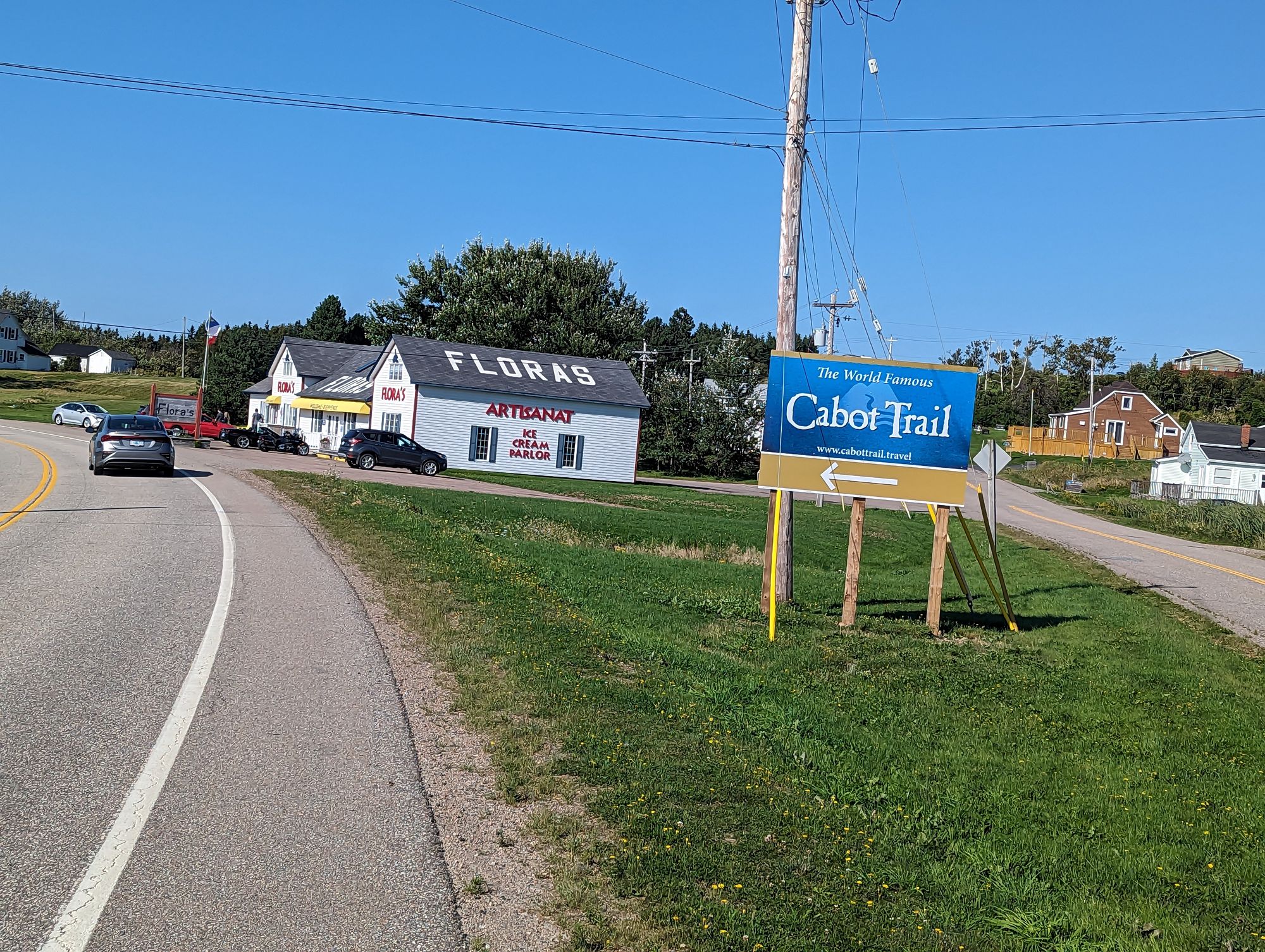
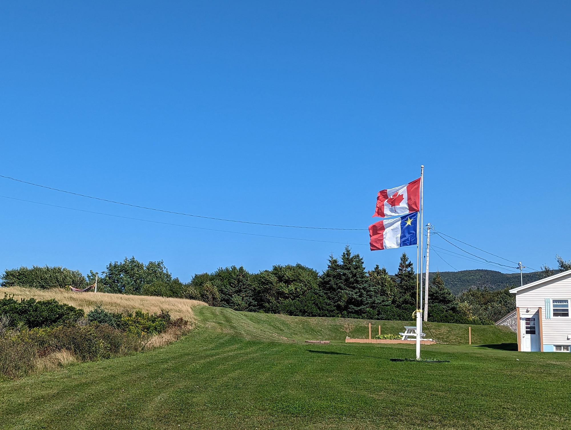
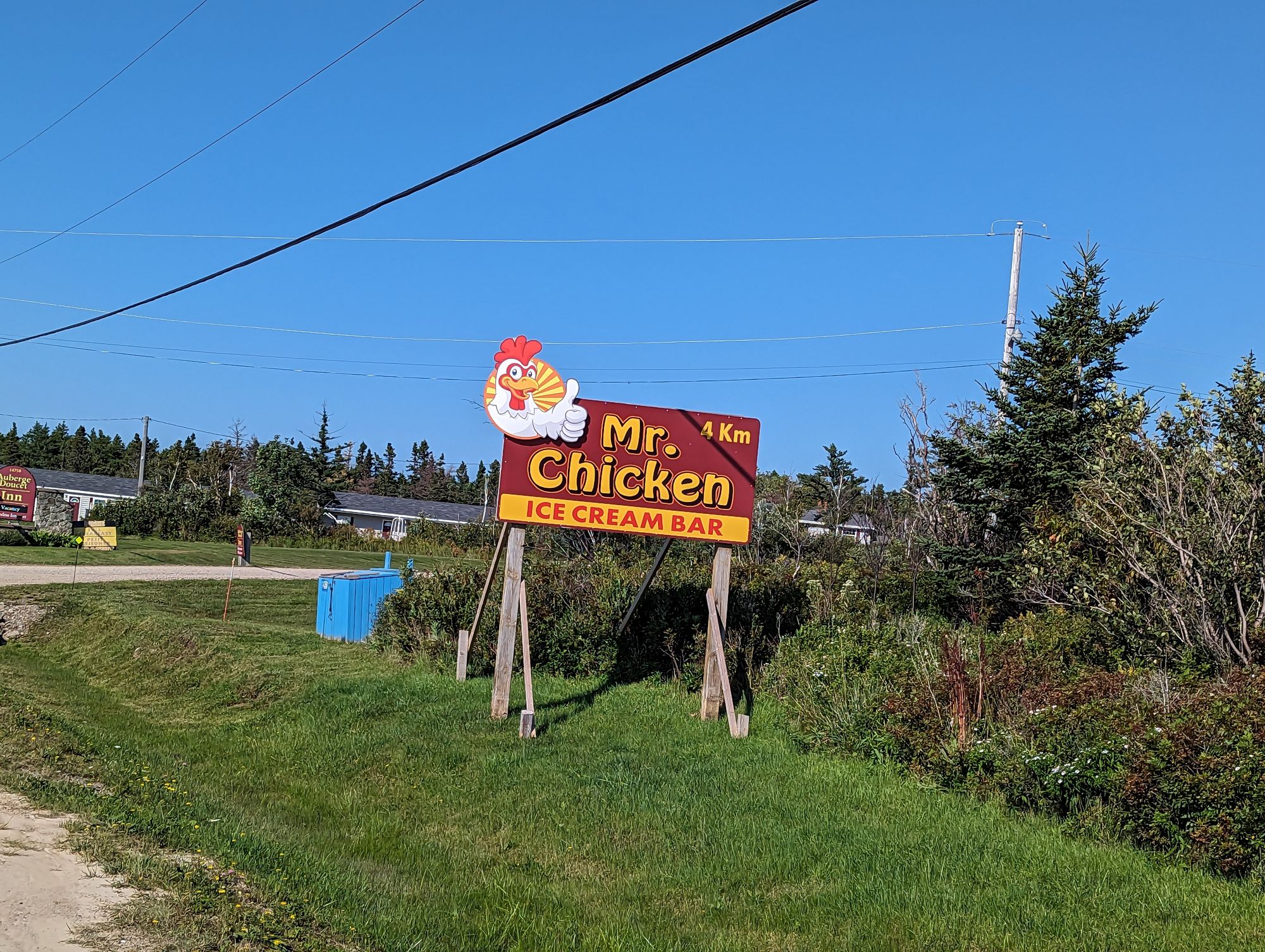
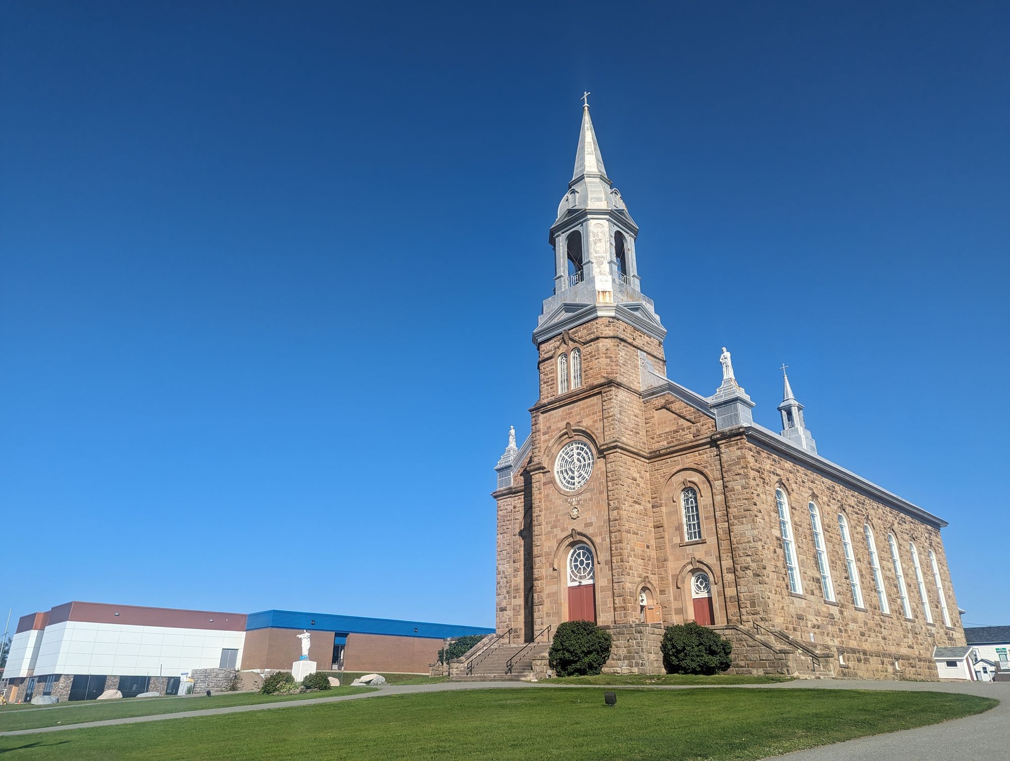
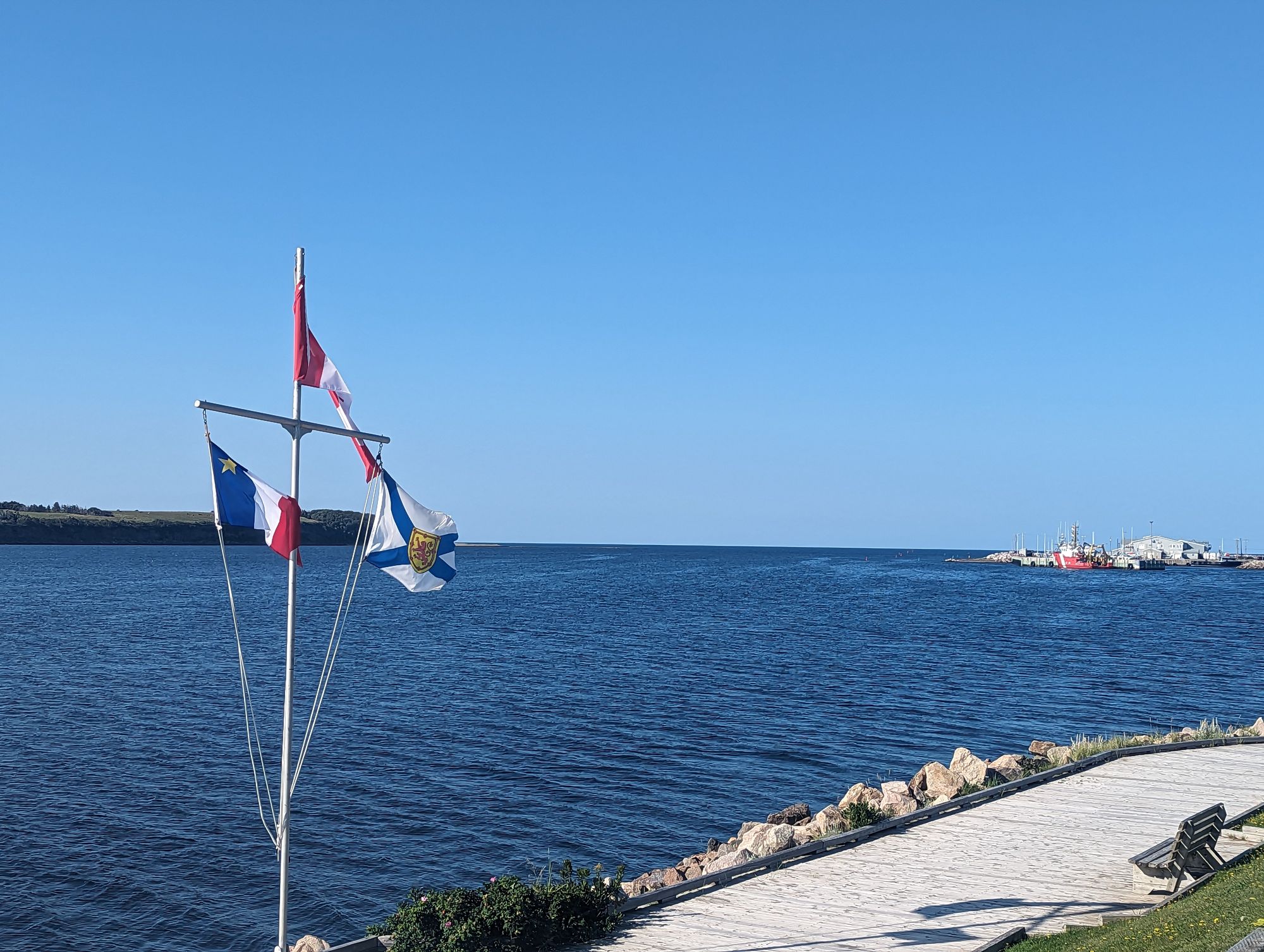
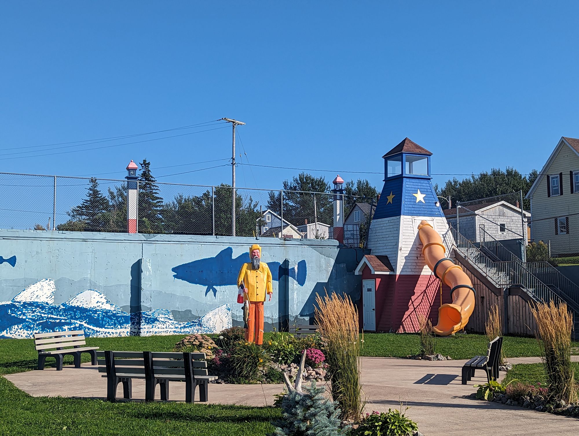
I stopped at the grocery store in Cheticamp because it is the last one I will pass before entering Cape Breton Highlands National Park where I will ride for close to two days. I stocked up on provisions and headed out to the entrance of the park where a campground was my home for the night.
Because there is a large national park just past Cheticamp there were lots of signs reminding you to buy stuff here before driving into the park.
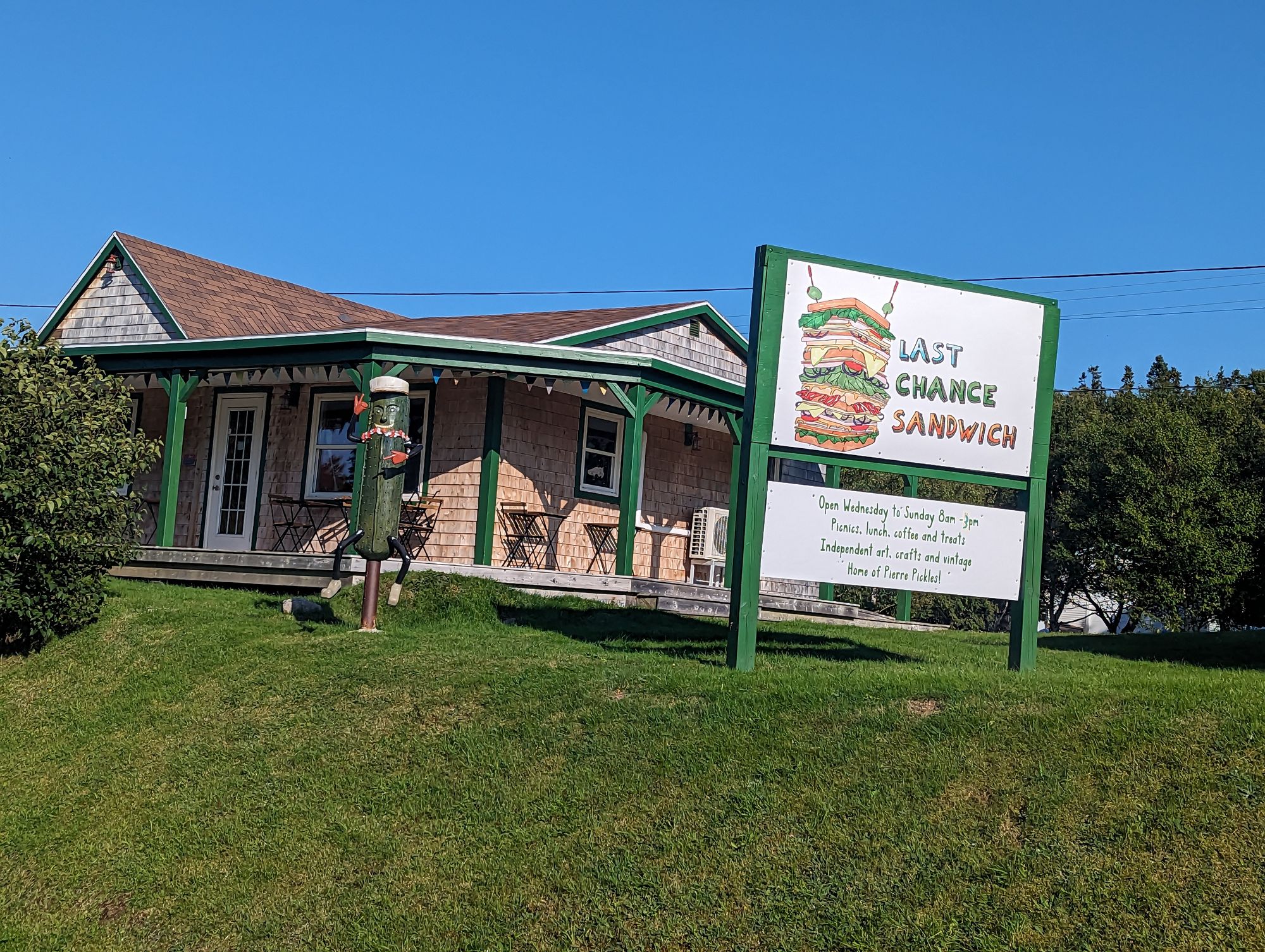
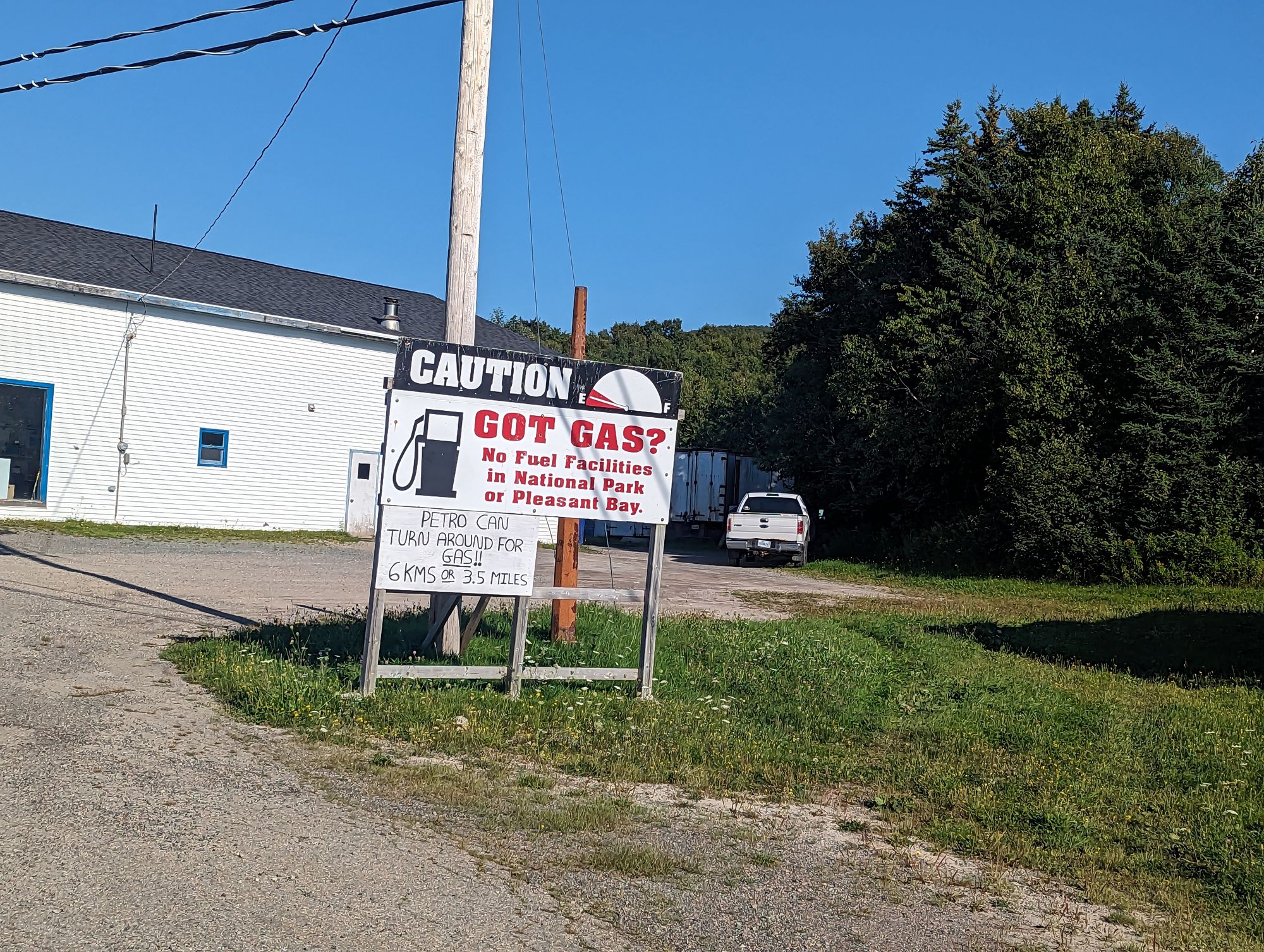
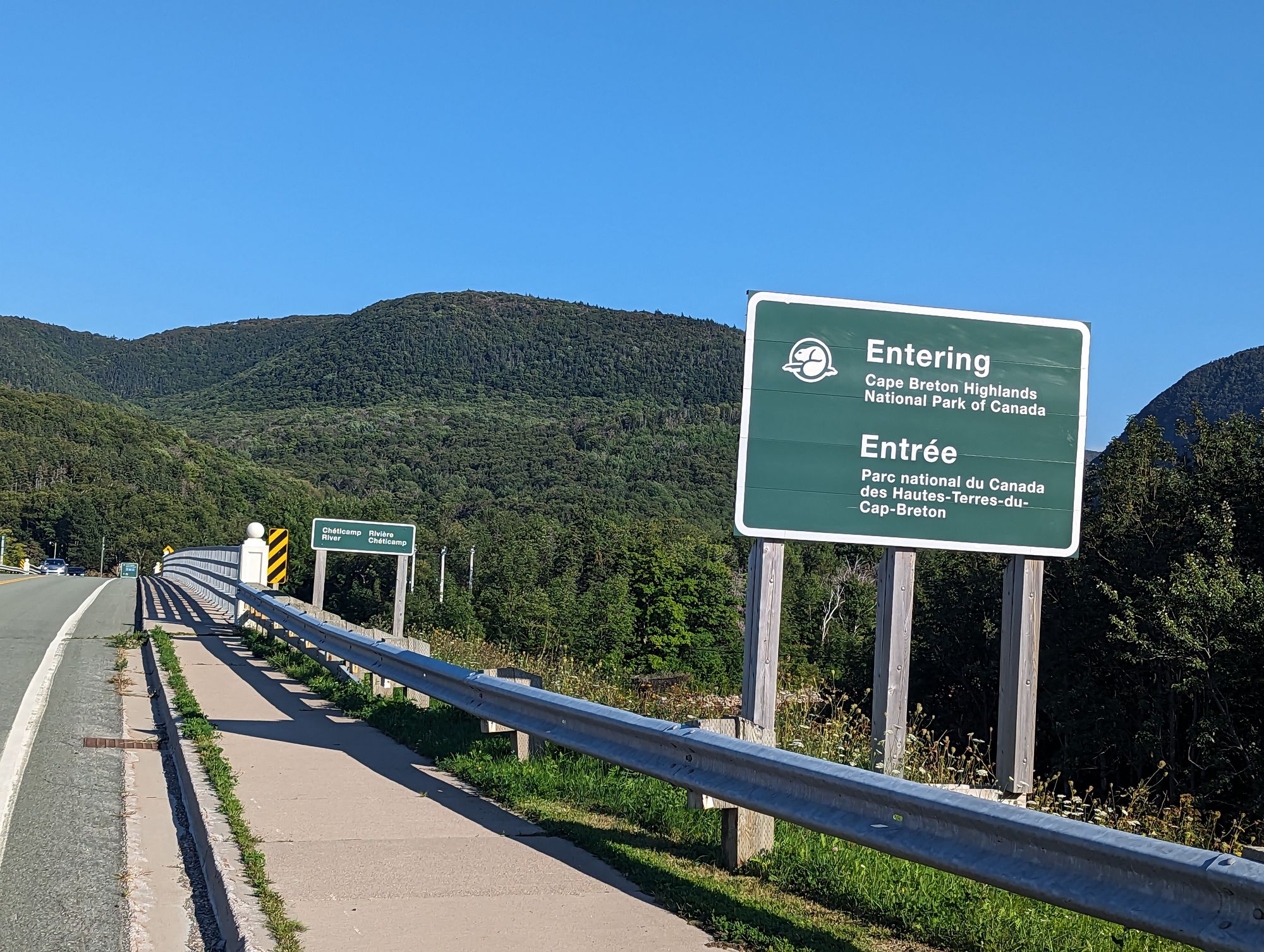
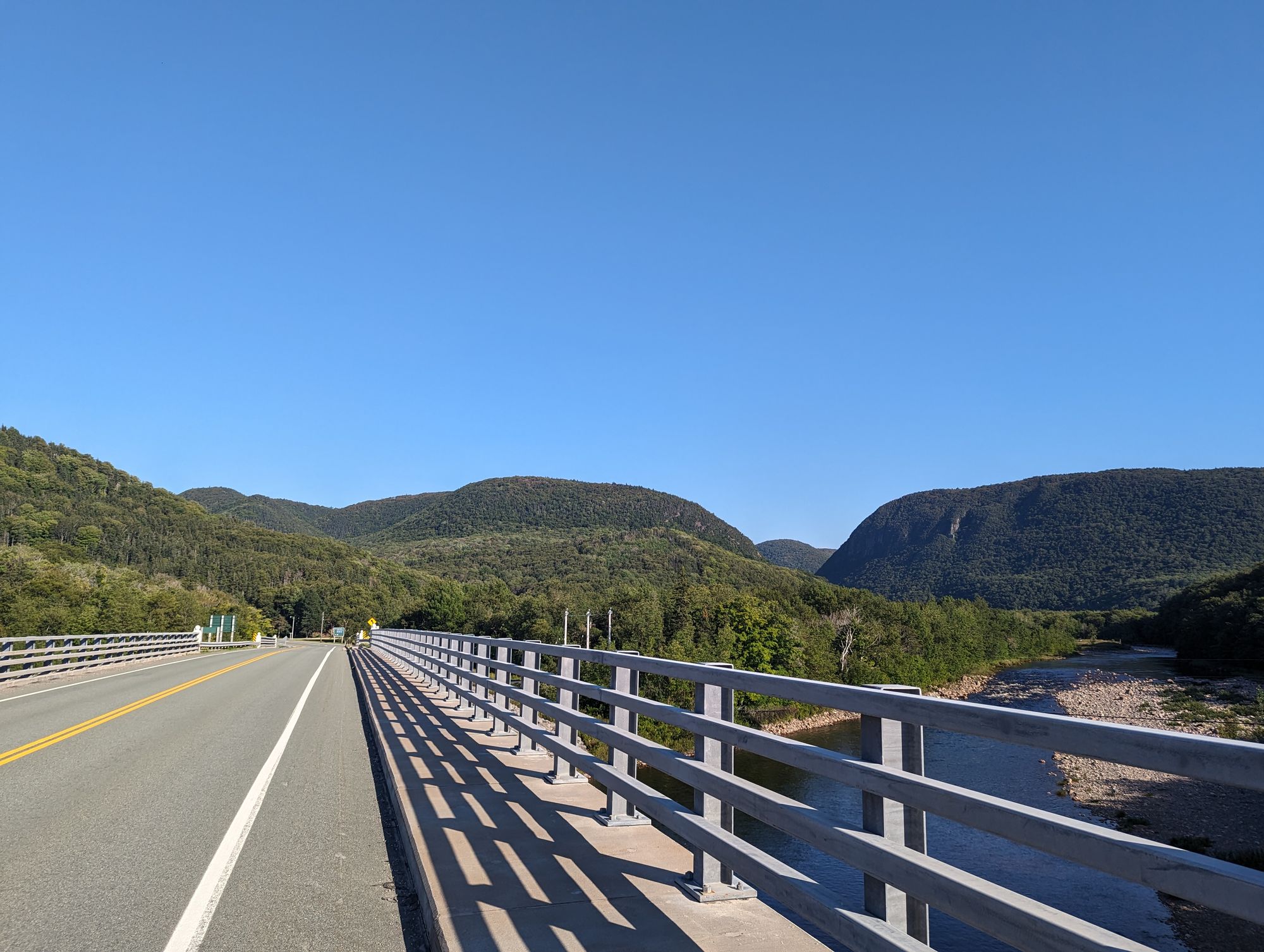
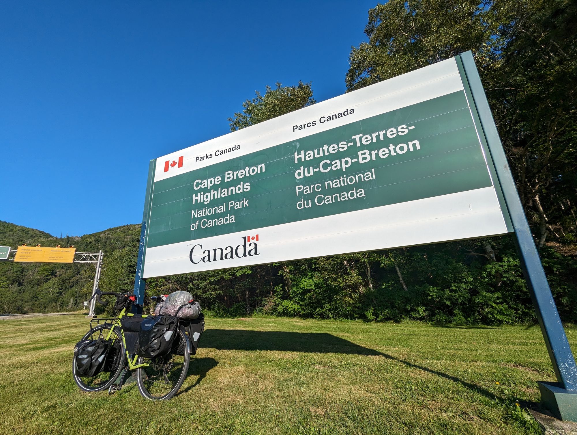
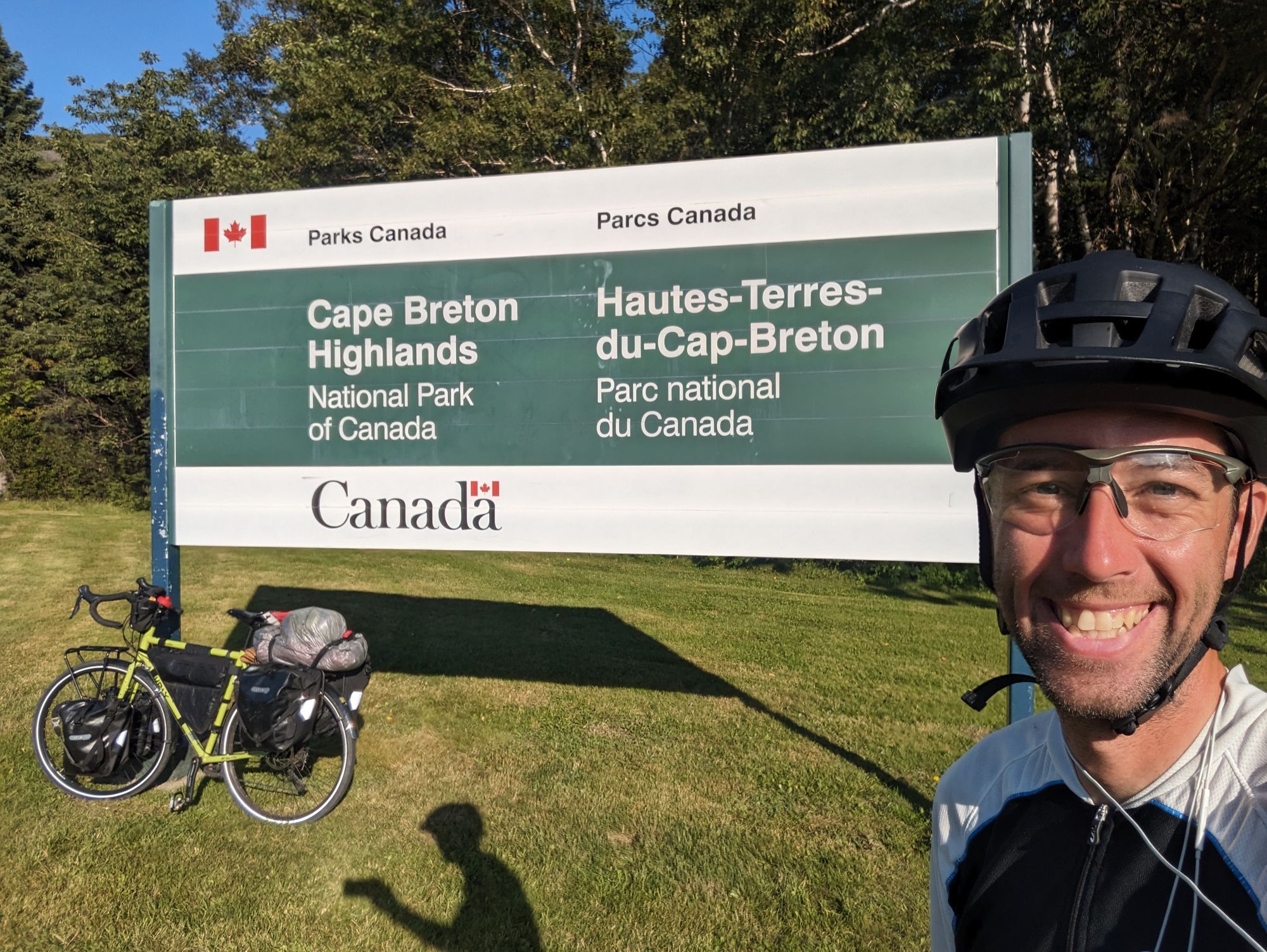
I arrived at the campground just after 5pm. I found my tenting site - a very pleasant spot under some poplar trees - and took my time to setup my tent and prepare supper.
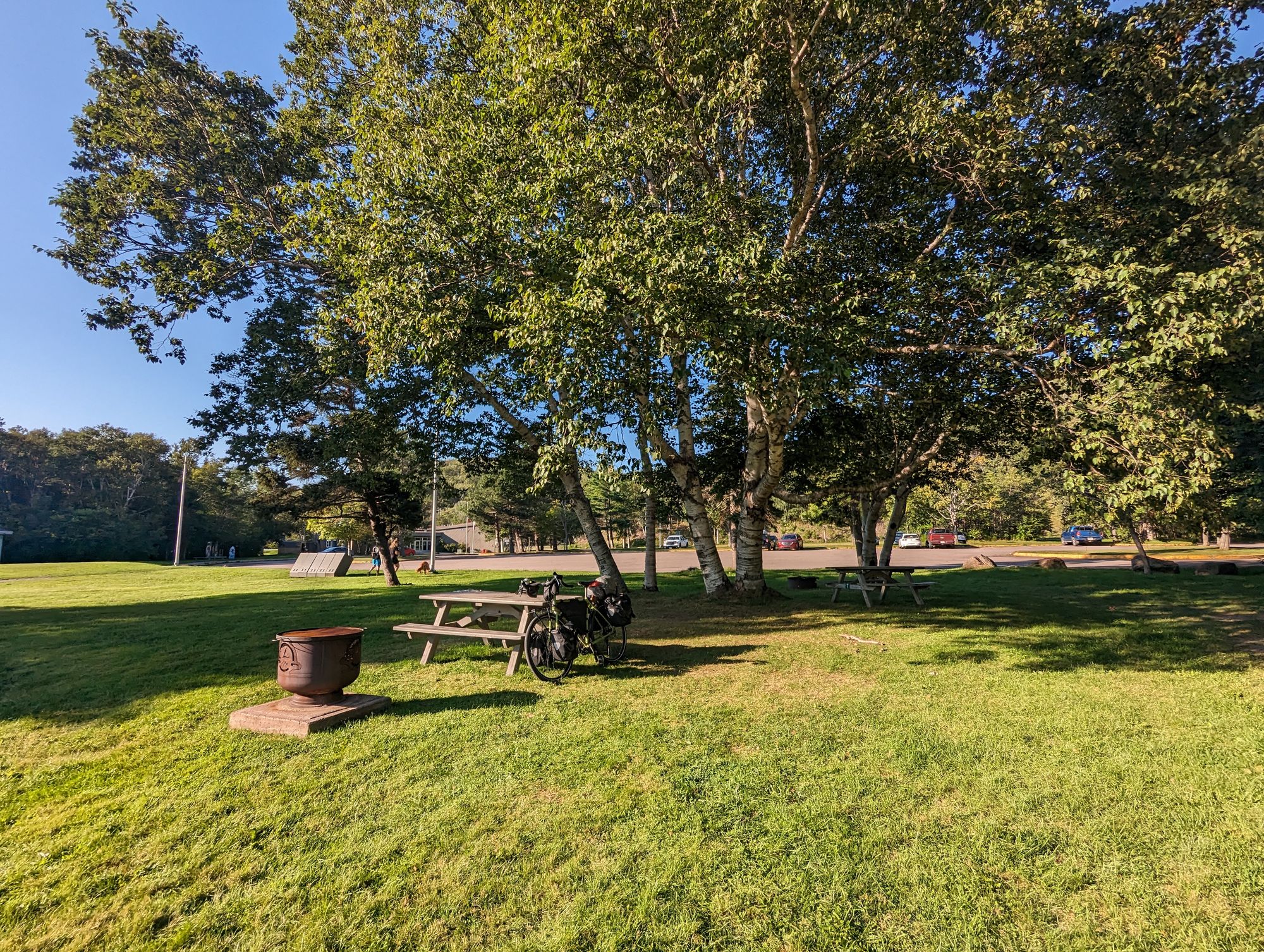
I showered and it felt wonderful. These national park campgrounds have all been top notch so far and this one was no exception. After showering I went back and started eating. I ate a lot. Almost double what I usually would. For I know something that maybe you don't...
The Cabot Trail has some killer climbs in it. And I'm going to do most of them tomorrow. And I'm going to need my strength. It's a big part of the reason I did a shorter day this day. At least 1600 meters of climbing awaits me over 100km. So I'm gorging on potatoes, noodles, and tuna to prepare myself. It is going to be a WILD day tomorrow!
This park is dotted with closed structures for people to use to cook and eat. Usually I think they're only used when it rains, but they also include power outlets so I went in there to write this blog post.
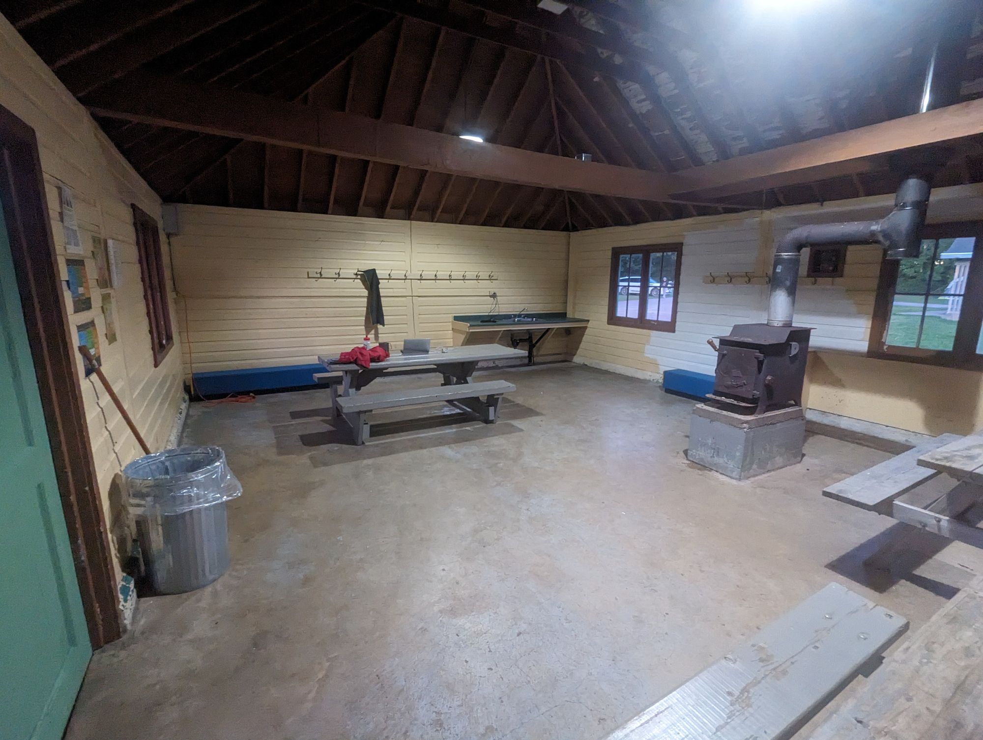
And now I can use the present tense because I'm all caught up on blogging and I'm sitting right there as I type away! HAHAHA! IT FEELS SO GOOD TO NOT BE DROWNING IN THIS BLOG ANYMORE!!!! I'm also uncomfortably full, wildly hydrated, and it's only 9pm. Time to tuck in.
I have to admit that I've been feeling really tired recently. I think a big part of that is because I've been doing some pretty intense distances with headwinds and plenty of hills. I've also been grinding to catch up on the blog. The caffeine problem also hasn't helped. But I think people have picked up on my fatigue because I've been receiving a lot of encouraging messages out of the blue from you folks. It hasn't gone unnoticed or unappreciated. One person actually did another small cover song for me. I appreciate you all so much and your encouragement has helped! But also slowing down today has helped. The shorter distance, having some time to cool down at the end of the ride, and having the time to enjoy the incredible views and experiences has put a bit of wind back in my sails. I'm feeling more confident and relaxed today. Thank you all for your support!