Day 2: Canmore, AB -> Field, BC
Jeremy makes it to B.C.
Date: May 17, 2023
Start: Canmore (Wapiti Campground)
End: Outside Field, BC (Monarch Campground)
Distance: ~110km
I awoke in Canmore and immediately put my sleeping gear away. This is because my plan was to head to the Rocky Mountain Bagel Company for breakfast, and it did not disappoint! I wrote out some blog posts, answered a few emails, and went back to pack up. All told, I probably spent about 2 hours there because sitting on that couch was better than where I was planning to sit the rest of the day!
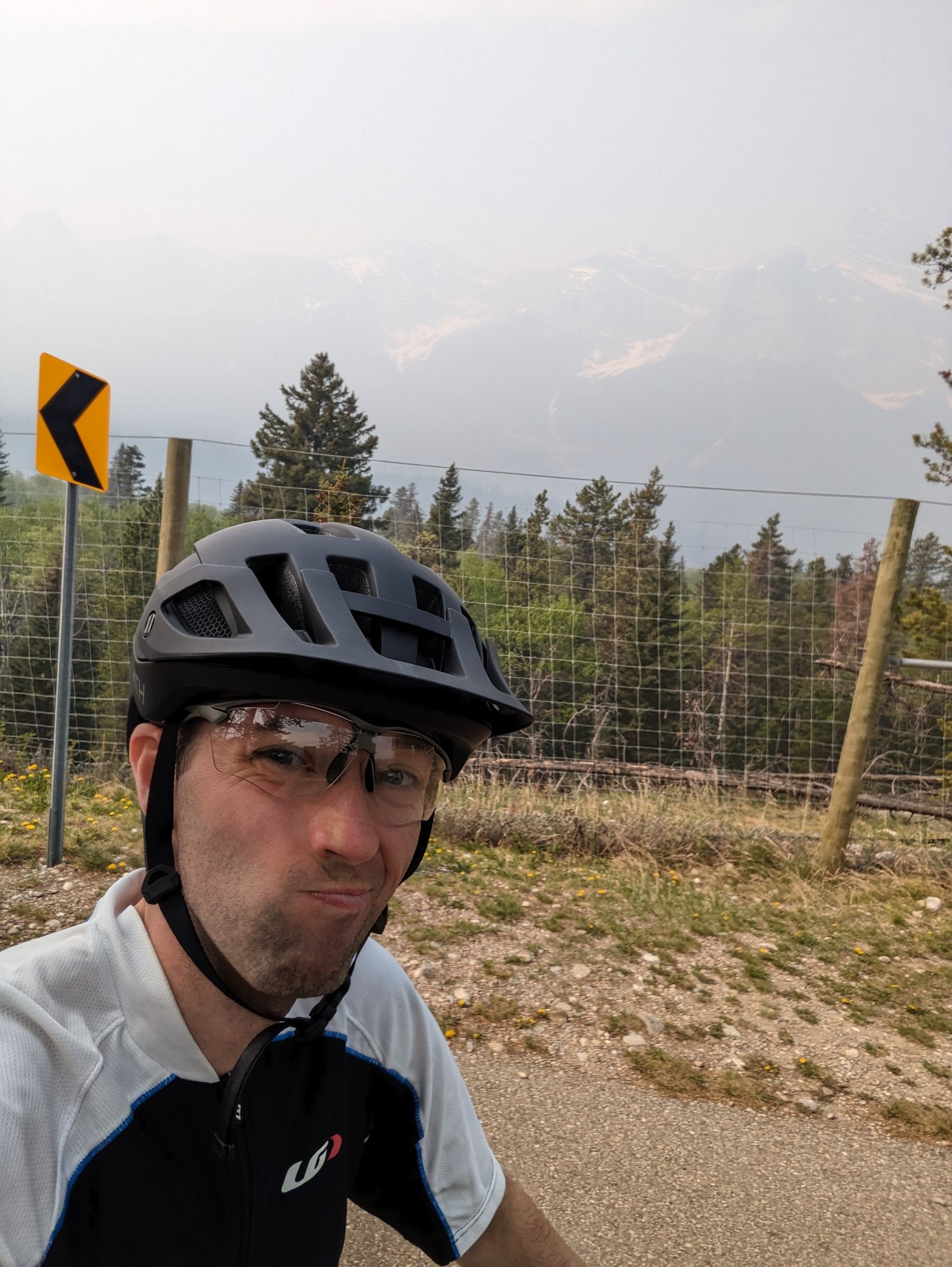
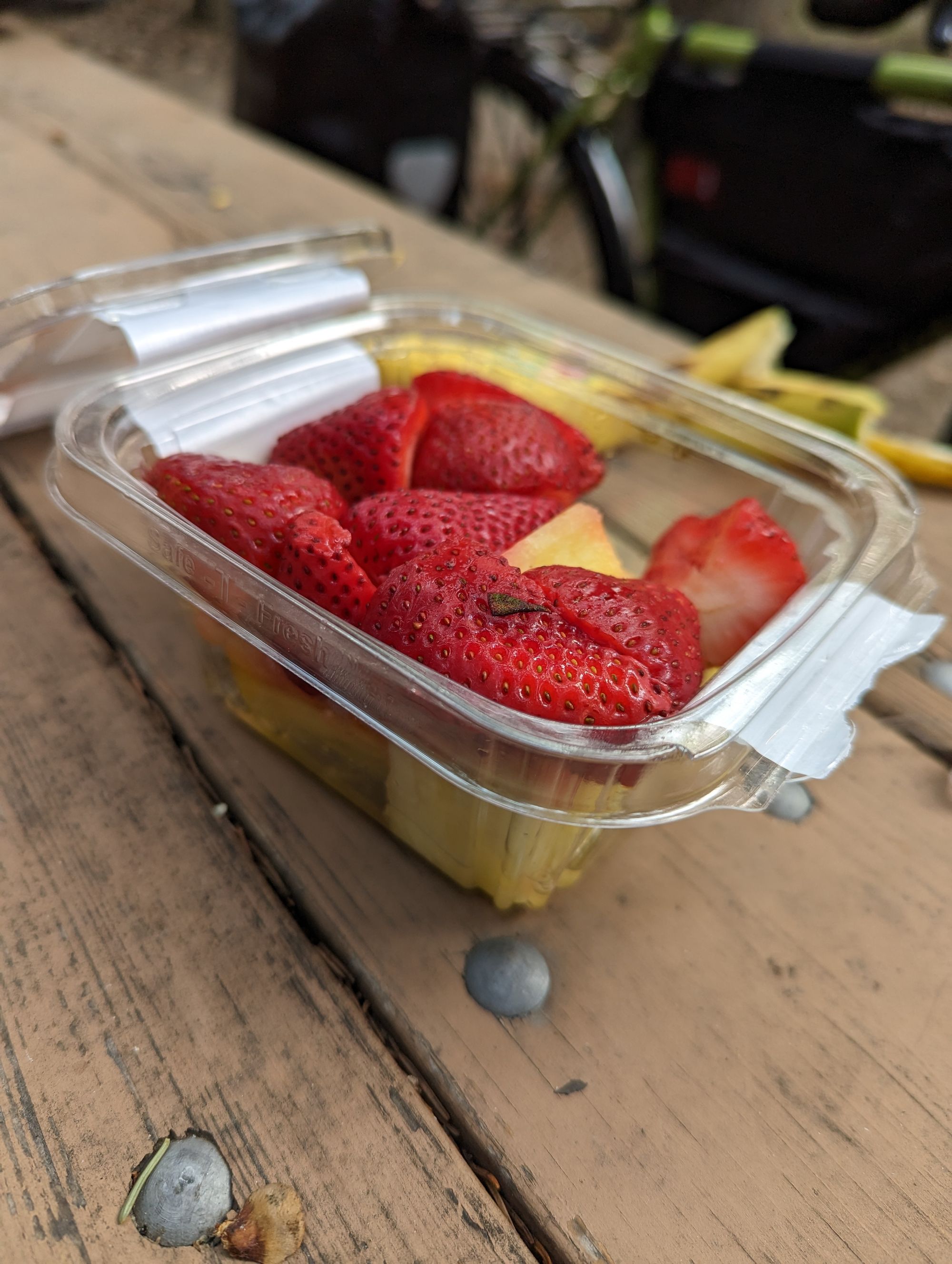
The smoke had abated somewhat. I could now see the outlines of a few mountains. I've spent a fair amount of time in Canmore and it's a special place for me. I biked back to camp, packed, ate some fresh fruit I'd bought the day before, and left. At this point...it was 10:30am. My hiking partner Alex is laughing at reading that. My slow mornings and late departures when we hiked were a running joke.
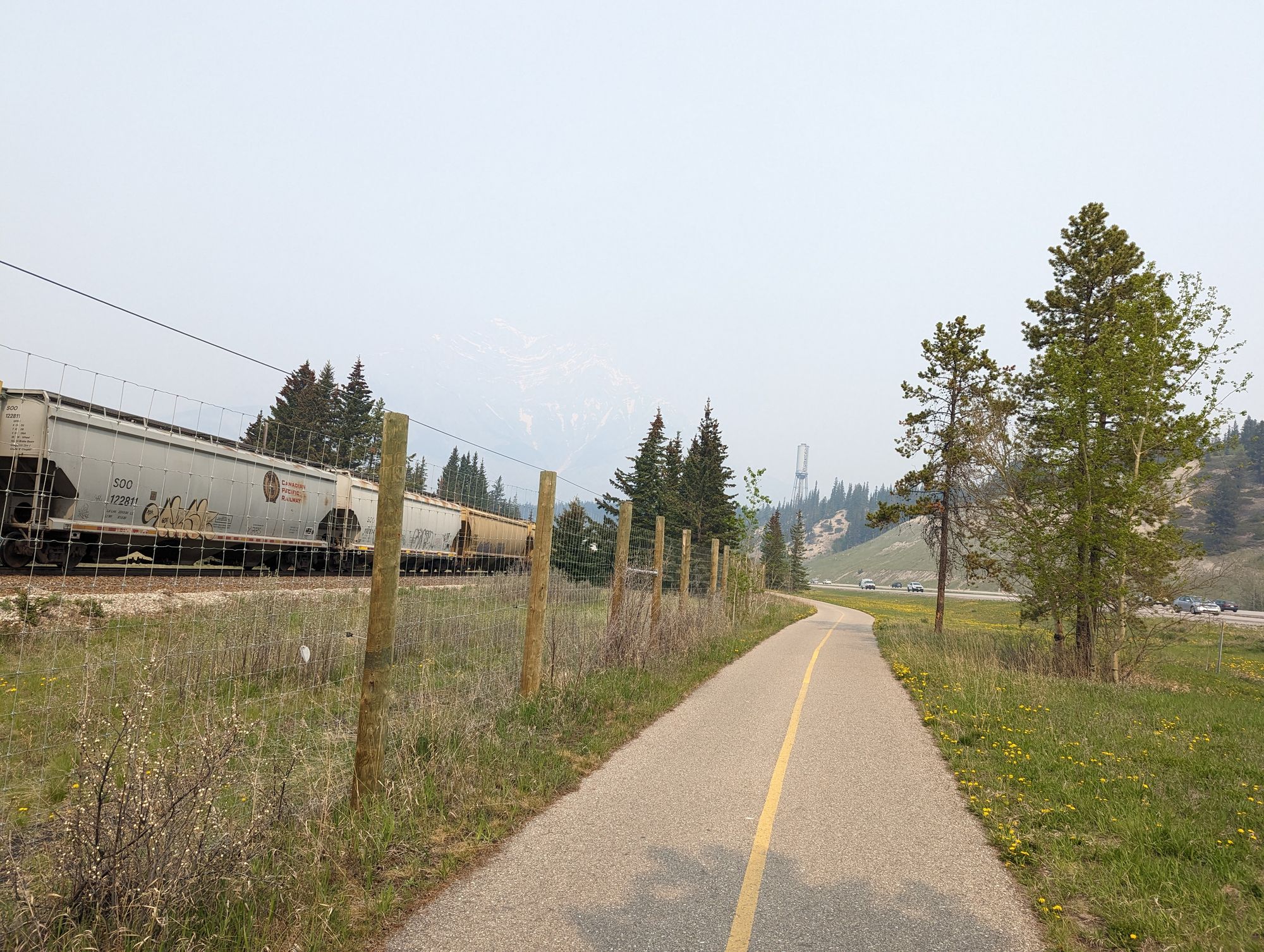
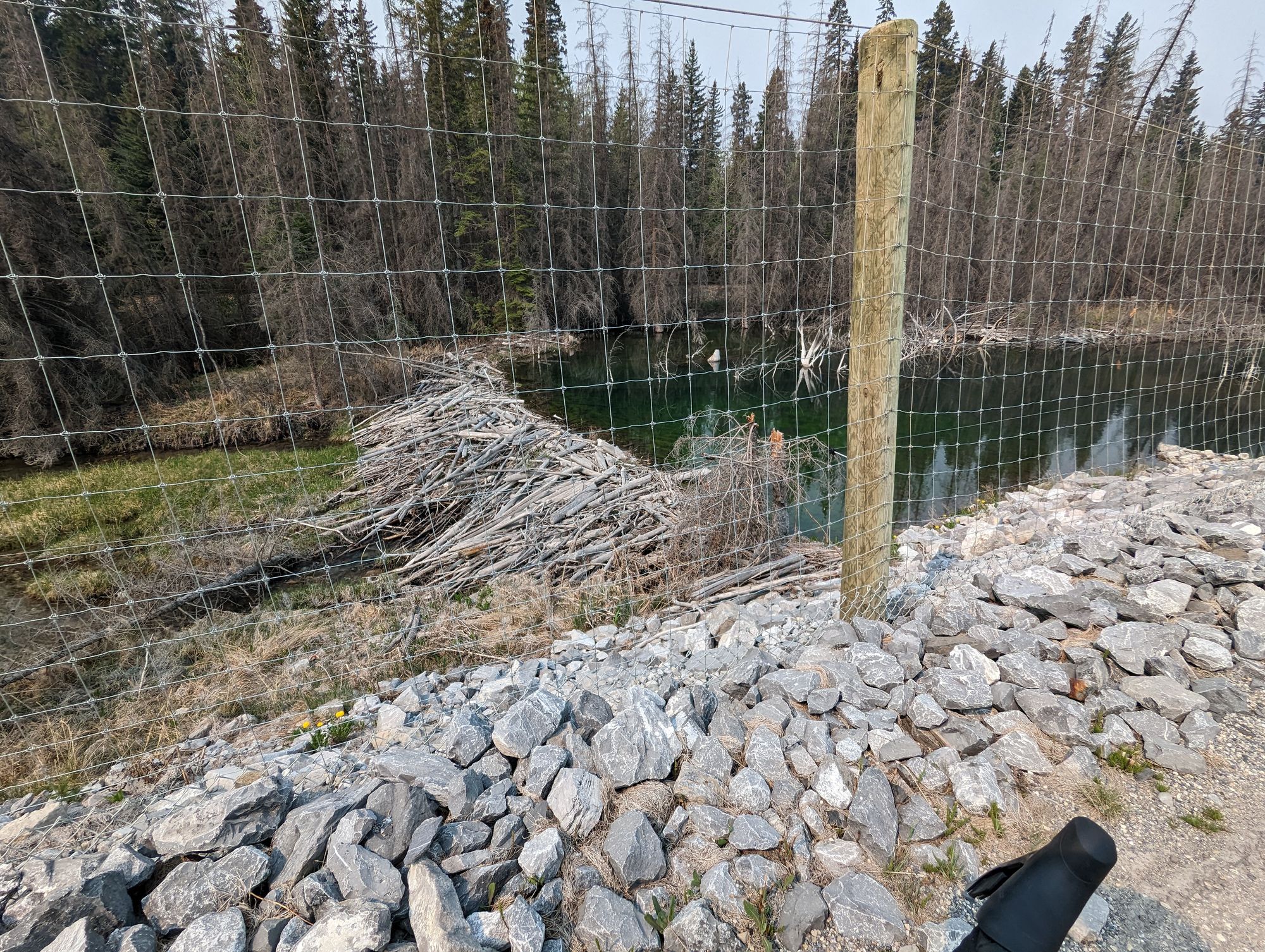
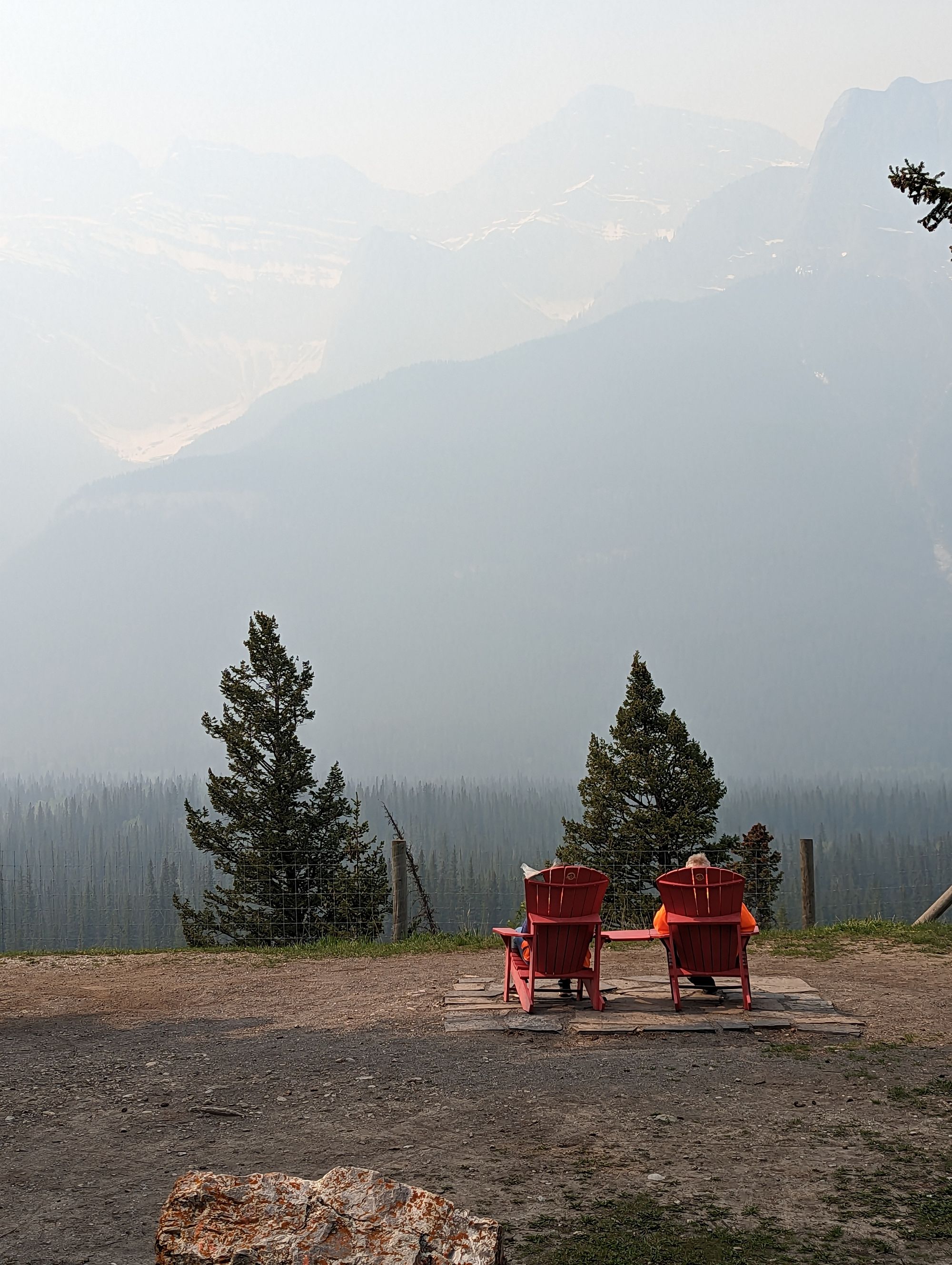
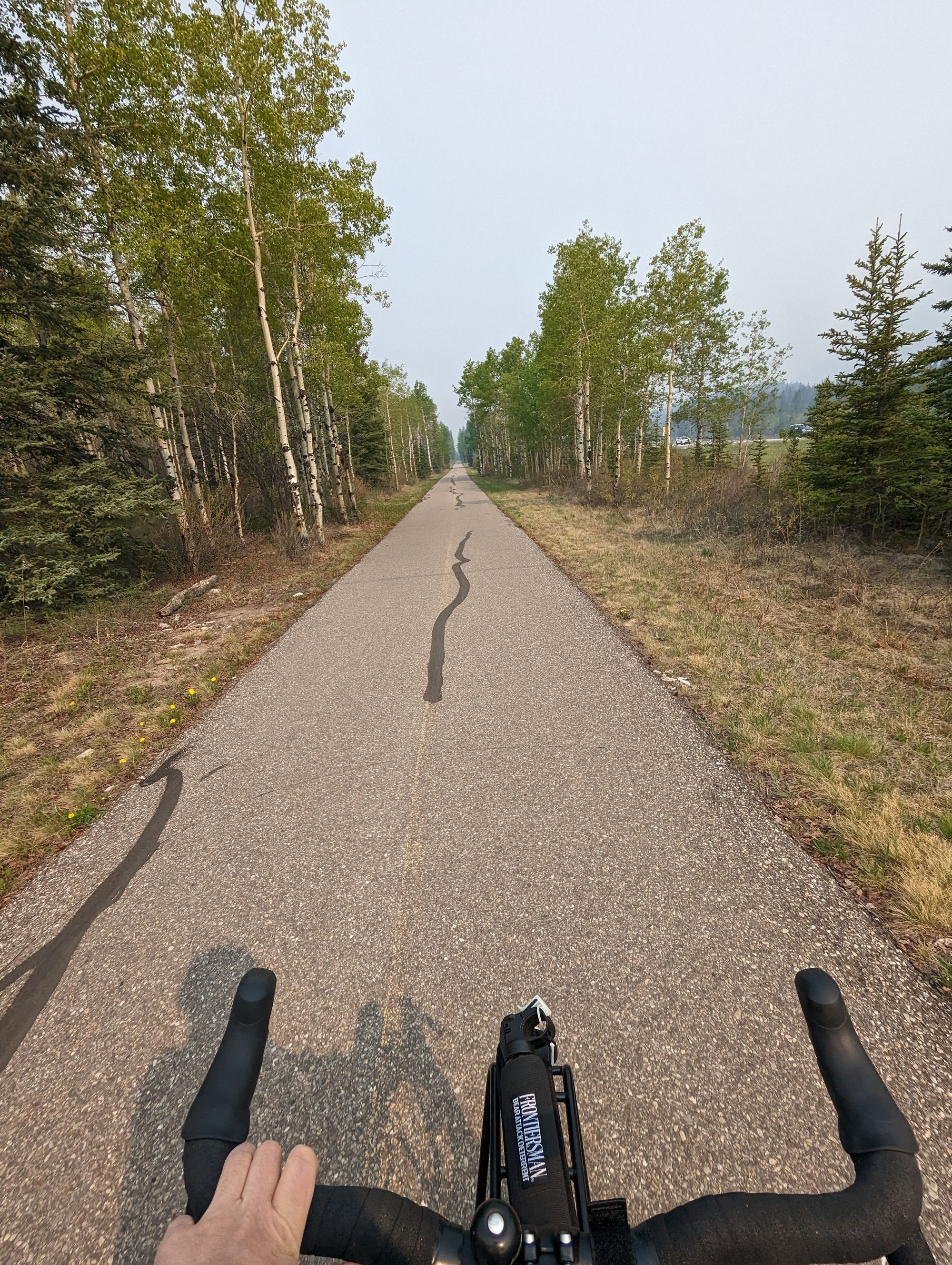
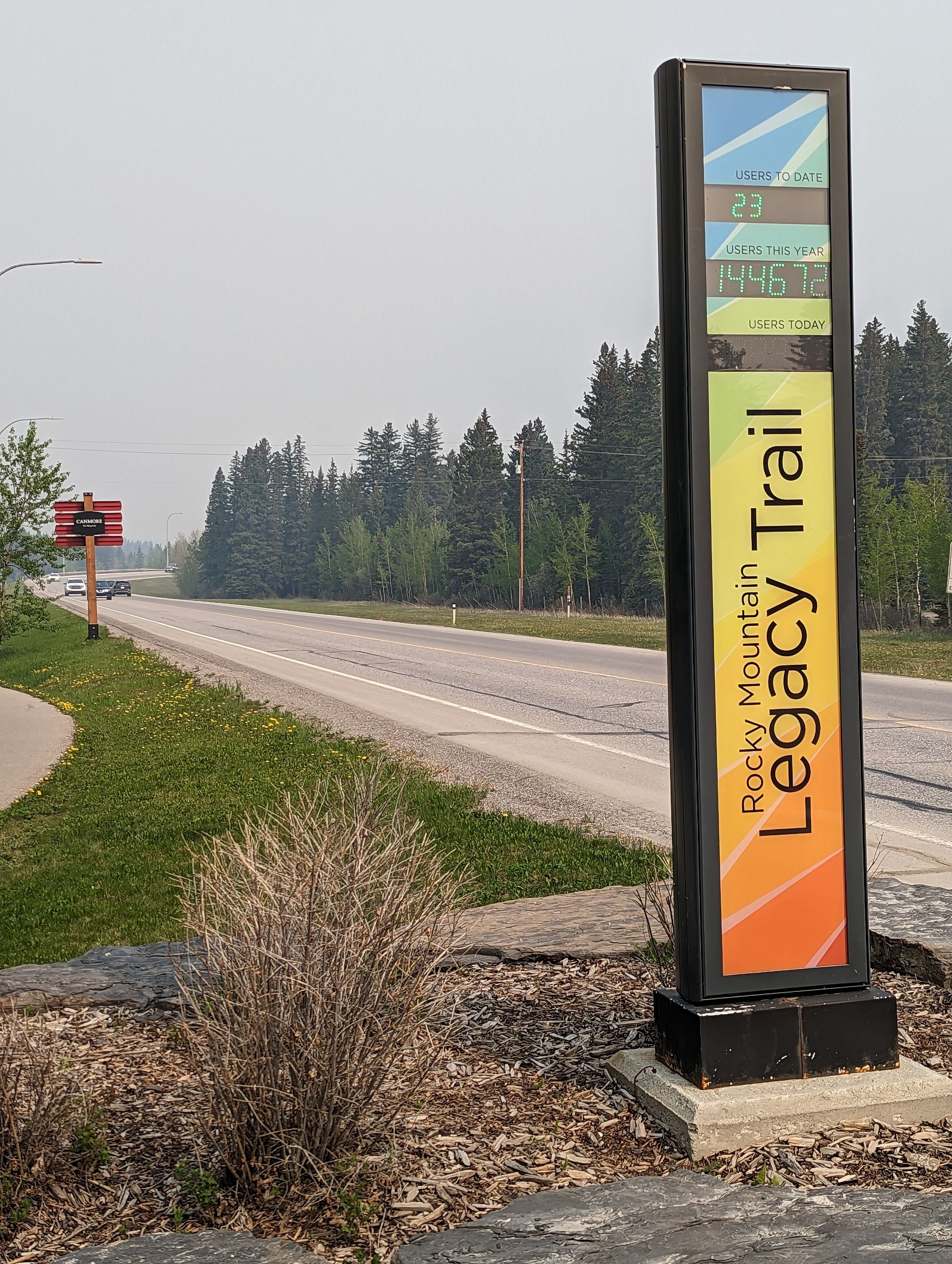
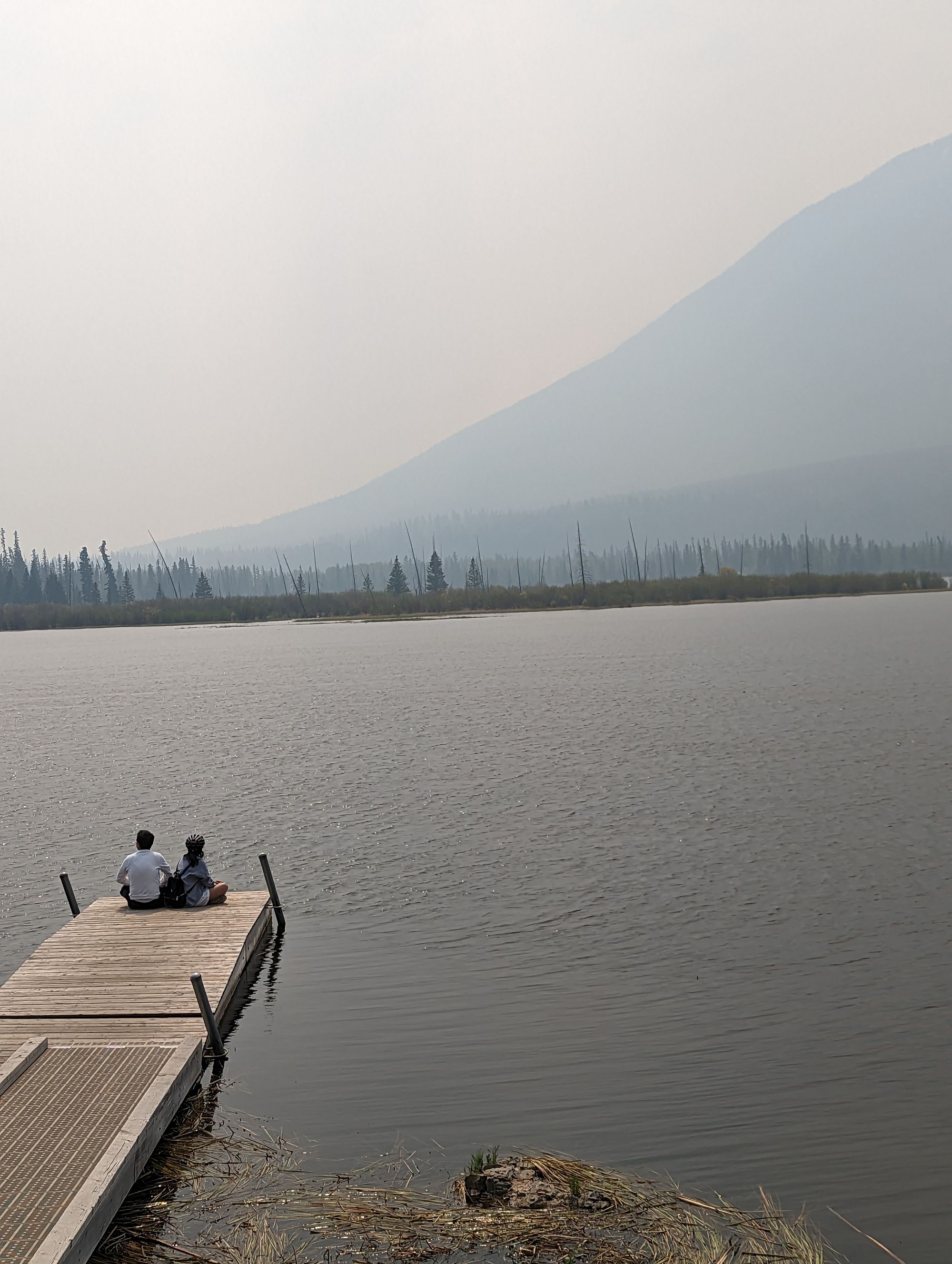
I started on the Legacy Trail, a bike path between Canmore and Banff. It parallels the Trans-Canada and is usually a spectacular ride for views...but again, all I got was shadows and vague hints of the majesty that surrounded me. I was treated to some very Canadian moments however. A couple in adirondack chairs. A beaver dam. A train.
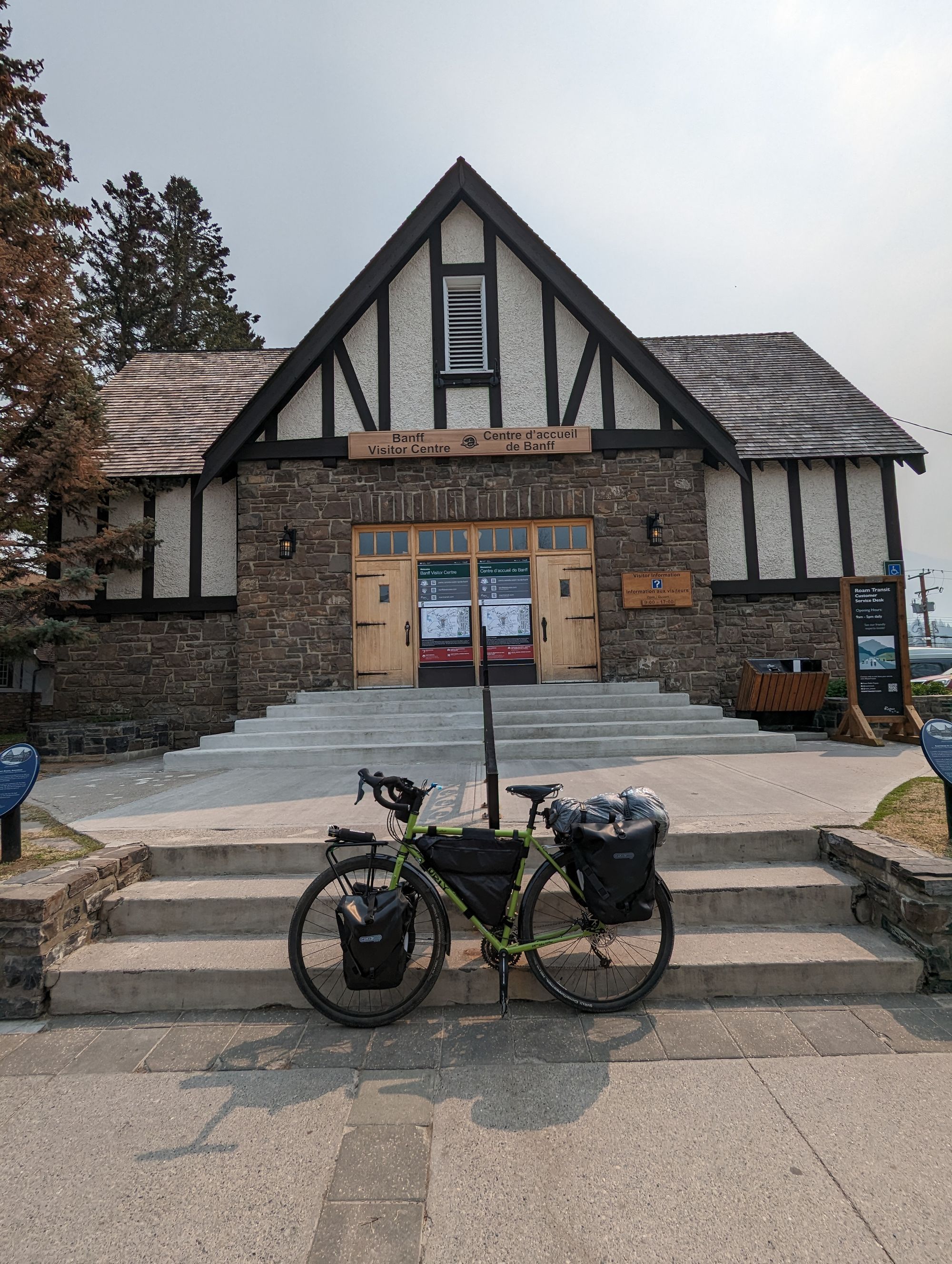
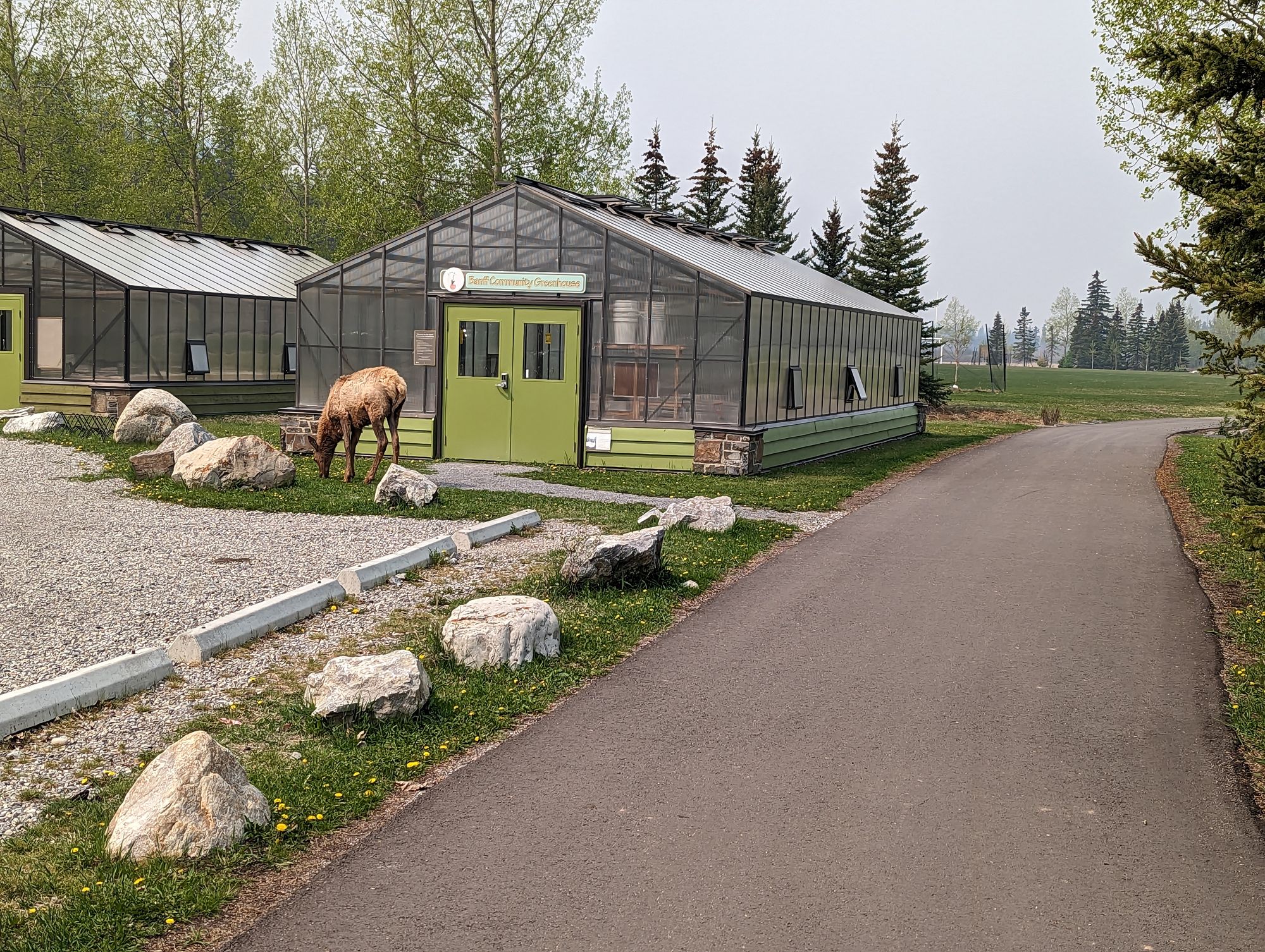
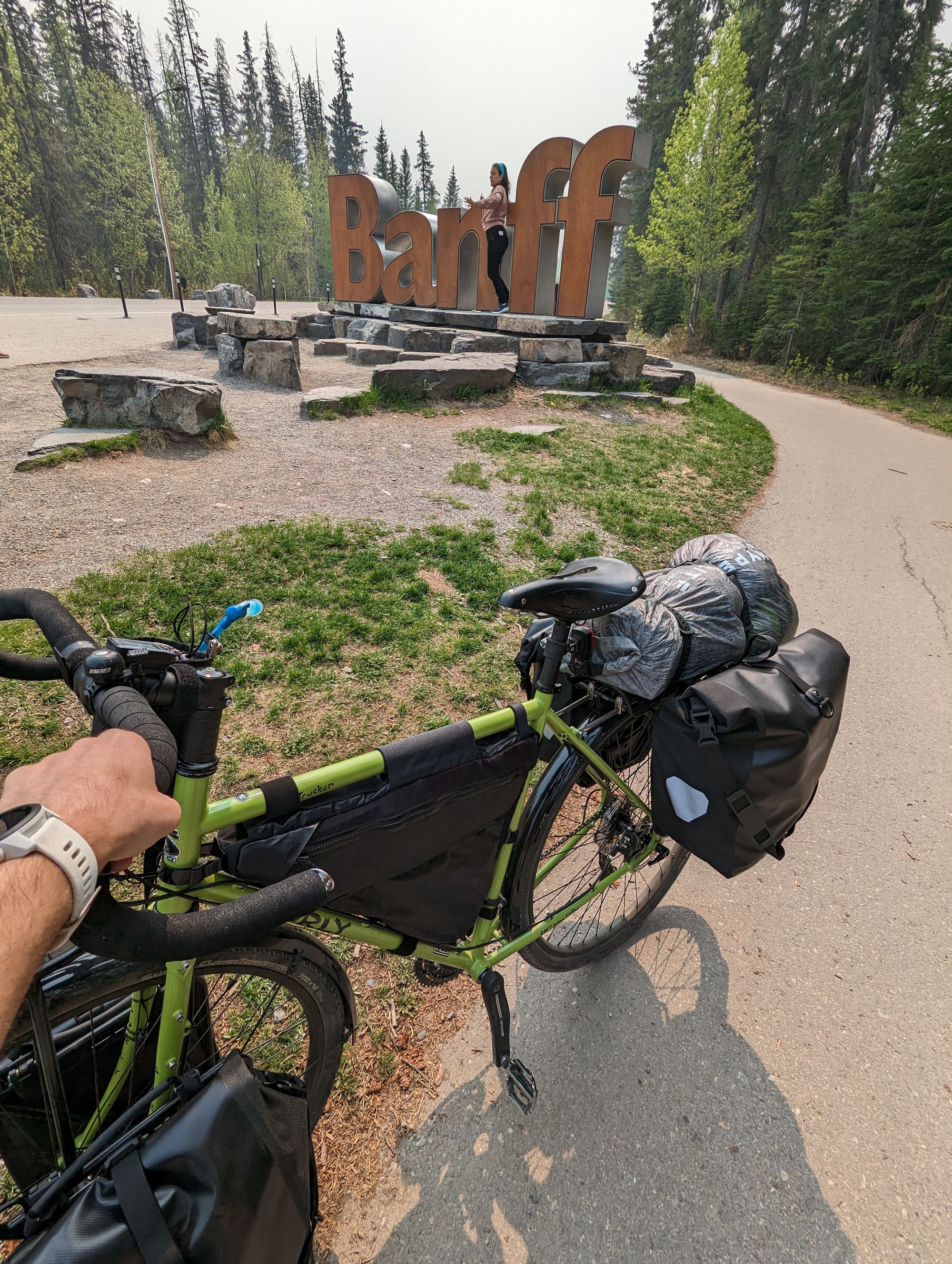
This is the first time I've ever done the full Legacy Trail. 13 years in Calgary, and I'd only managed to run most of it once. I still won't count it however, as there wasn't much to see. Eventually, I reach my first goal of the day: Banff. There I cycled through the town and around the Bow where I saw some Elk casually grazing. Scratch them off wildlife bingo! But still, I couldn't see anything of the mountains...
A few scenes from Banff:
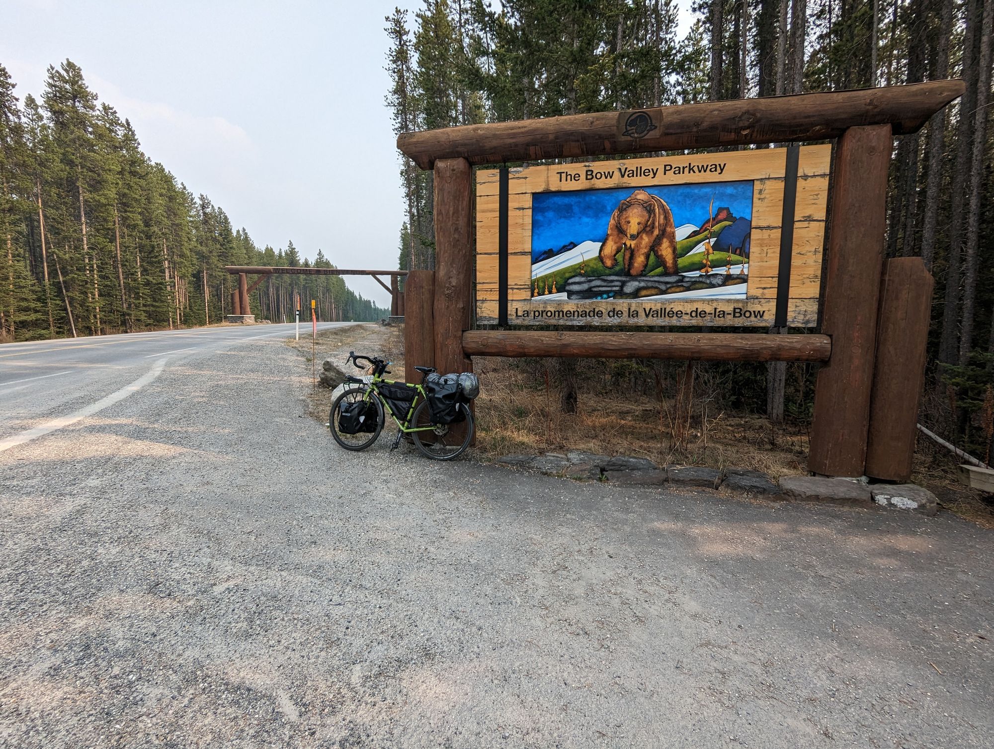
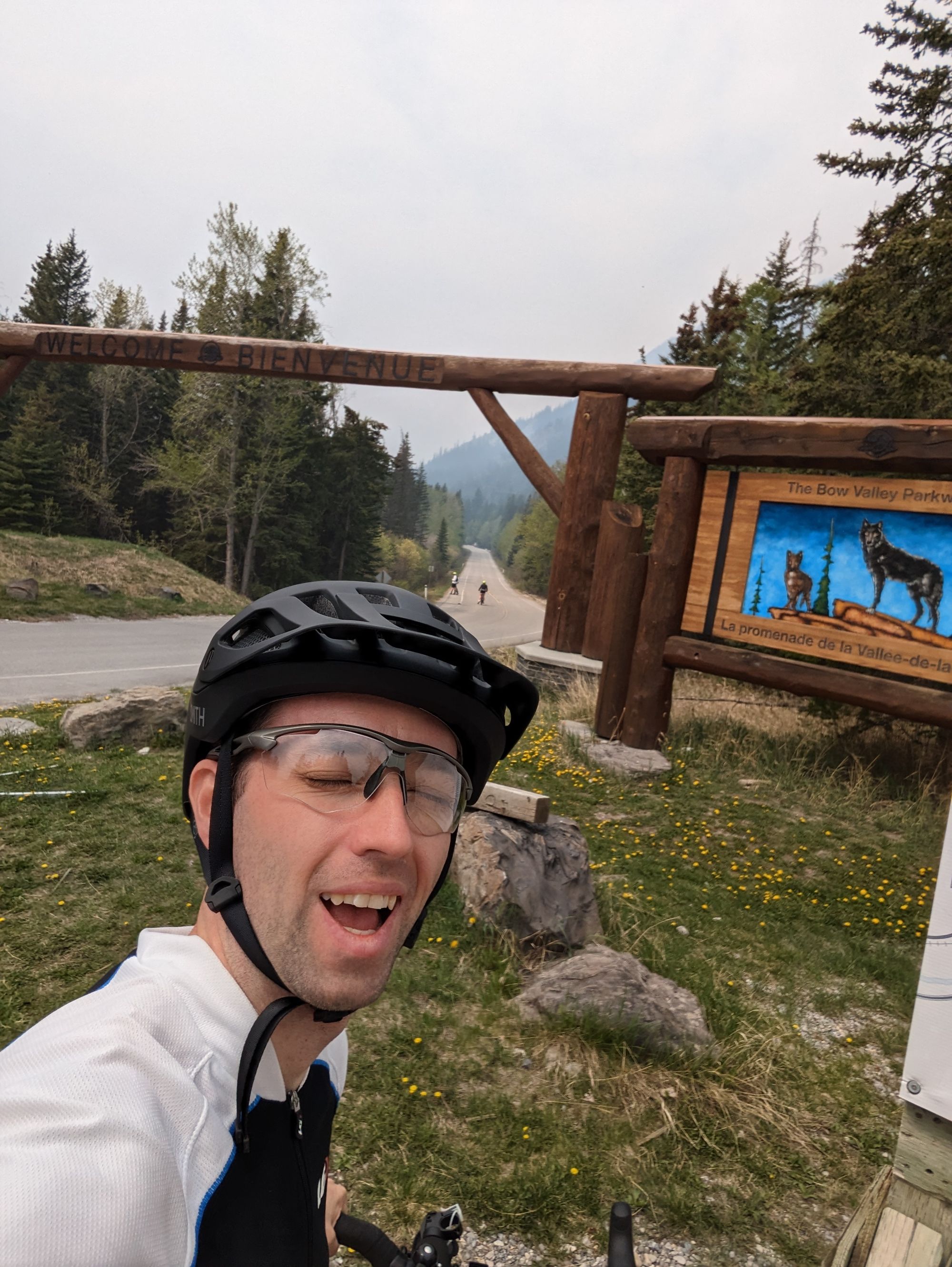
I decided not to linger, I had to get 110km done and I'd had a late start. I made my way to the old highway between Banff and Lake Louise and was surprised to find that it was shut down to vehicles! Only bikes were allowed for the first ~25km. This is something they'd done during COVID to give people a way to get outside while still distancing. It also takes stress off the wildlife to have the traffic gone. I was elated because I thought it had been reopened for vehicles and only closed for bikes on the weekends. A small boon for Jeremy!
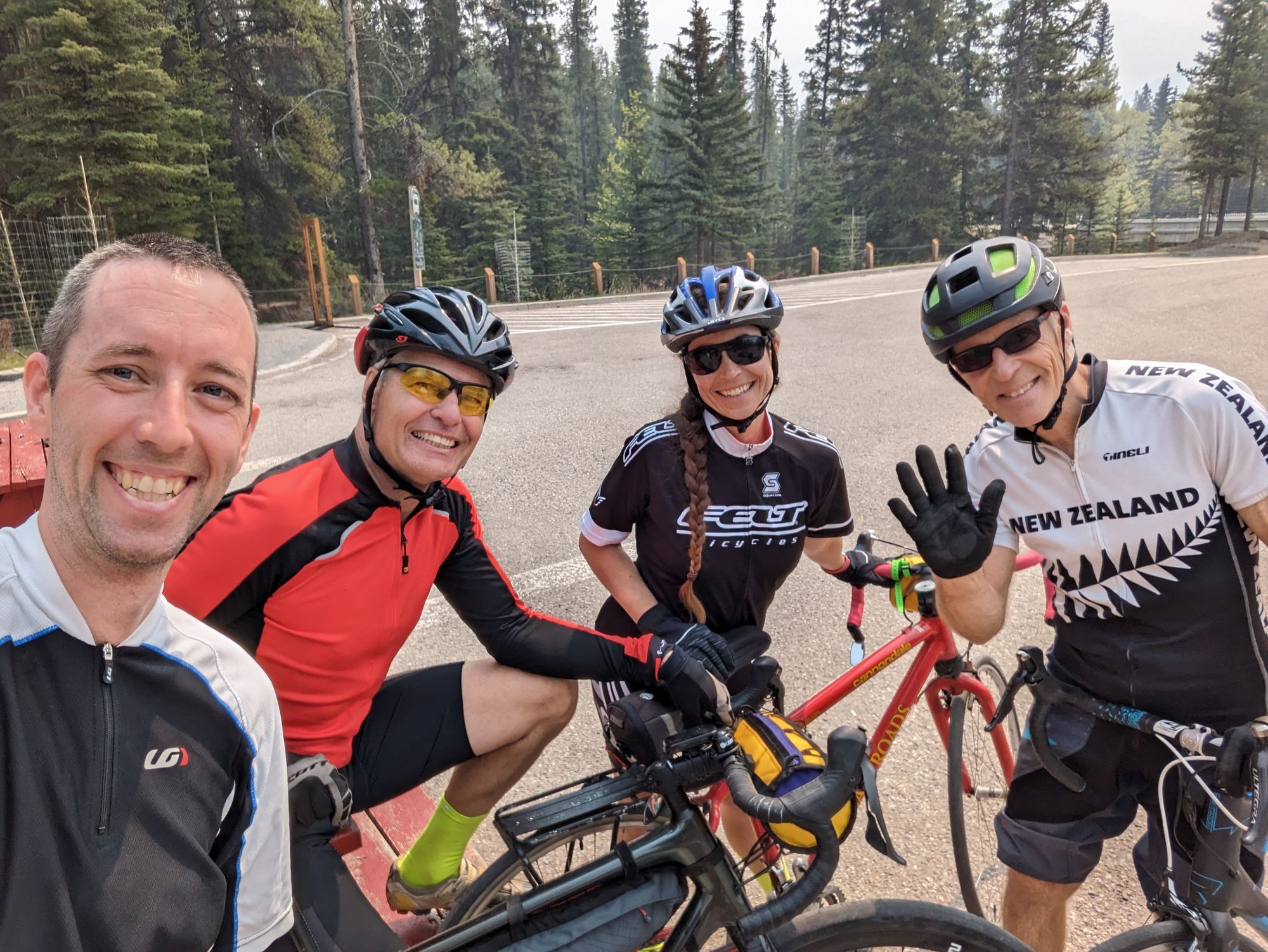
Pretty quickly after starting a group of cyclists joined and struck up a conversation as we biked. I was certainly a curiosity with all my gear, and after telling them my plans they revealed themselves to be experienced bike touring types with a strong history of hiking. We cycled together for the full 25km and they recommended places to stay, eat, visit, and even offered up places to stay with family and friends of theirs! WE exchanged information and parted ways.
I have a running joke with my friends where we say "The real is the friends we made along the way!" You can put whatever word you want there: education, Toyota Turcell, 400 foot monster....it's always funny. But I realized after talking to them that I'll actually be meeting quite a few people on this trip. And so it's not unreasonable to say that the "The real adventure is the friends I'll make along the way!" With that, I'm happy to add Chris, Heather, and Jim as the first entry of my list of "friends I made along the way." Thanks for the company gang and all the best!
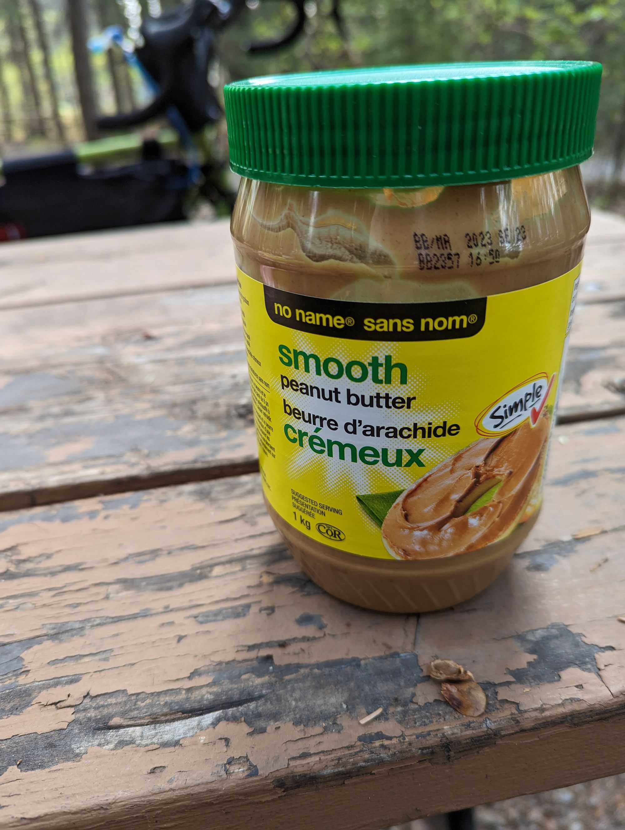
I had a long lunch...because remember I had started the day late? Well I forgot that, and so spent easily an hour gnoshing. Cheese, pepperoni, and a pita smeared with WAY too much peanut butter. Where did the peanut butter come from? Well Past Jeremy - in his panicked packing - had snuck a 1kg jar of peanut butter in the gear. Thus starts an upcoming theme of me blog posts: I packed WAAAAY too much stuff.
I gentleman from Colchester, UK chatted with me a bit and was stunned when he saw my Brooks saddle was so new. He thought I was insane for setting off without it broken in. Another folly for Jeremy.
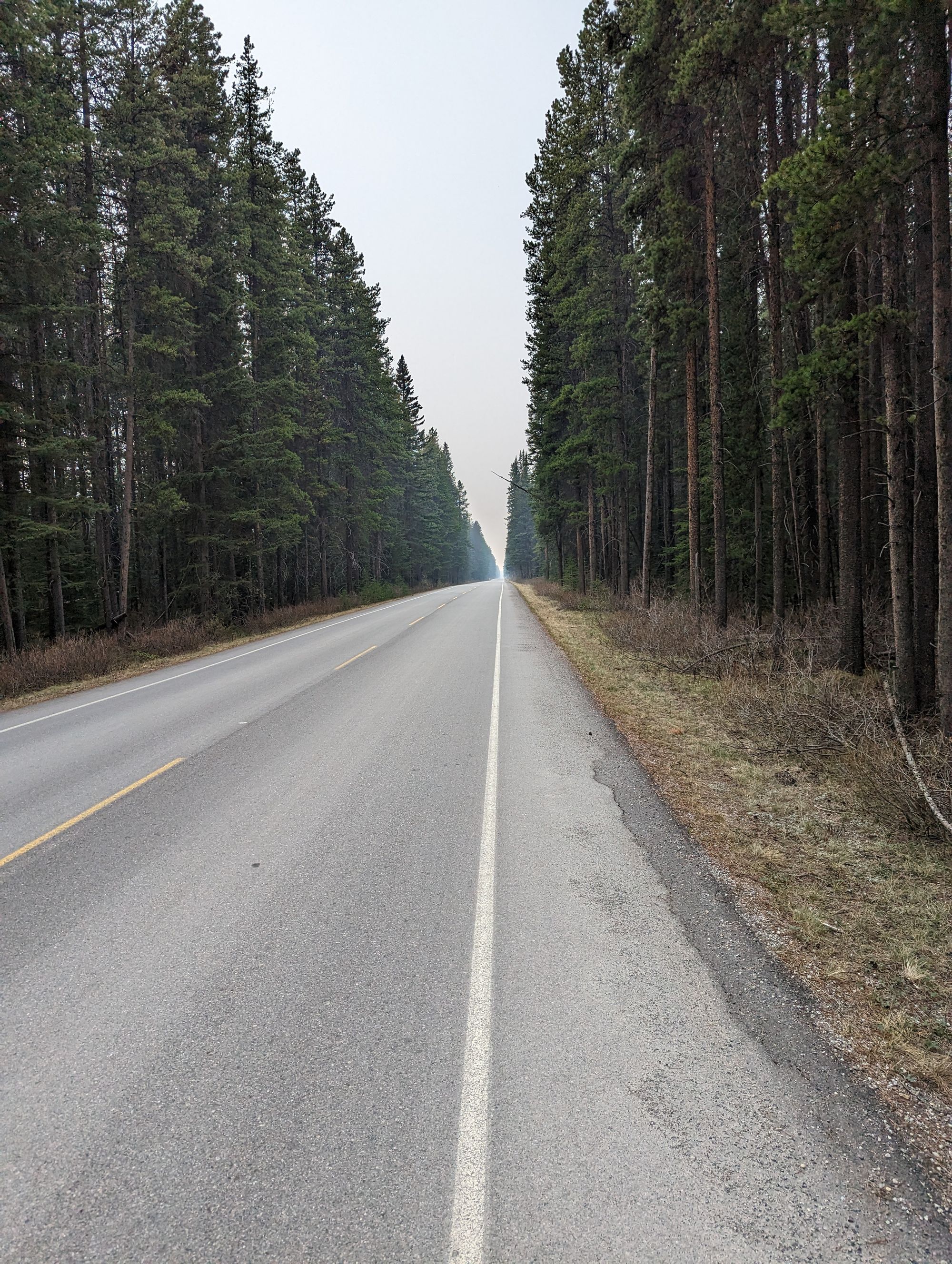
I got back on the road and made for Lake Louise, but it was slow going. The road went up and down and it was quite hot. Eventually it was time to say goodbye to the Bow Valley Parkway (the old highway) and head into town. I didn't make it to Lake Louise Village till almost 5:30pm. At this point, I was getting worried. I still had another ~20-25km till my campground at Field, BC and I was TIRED.
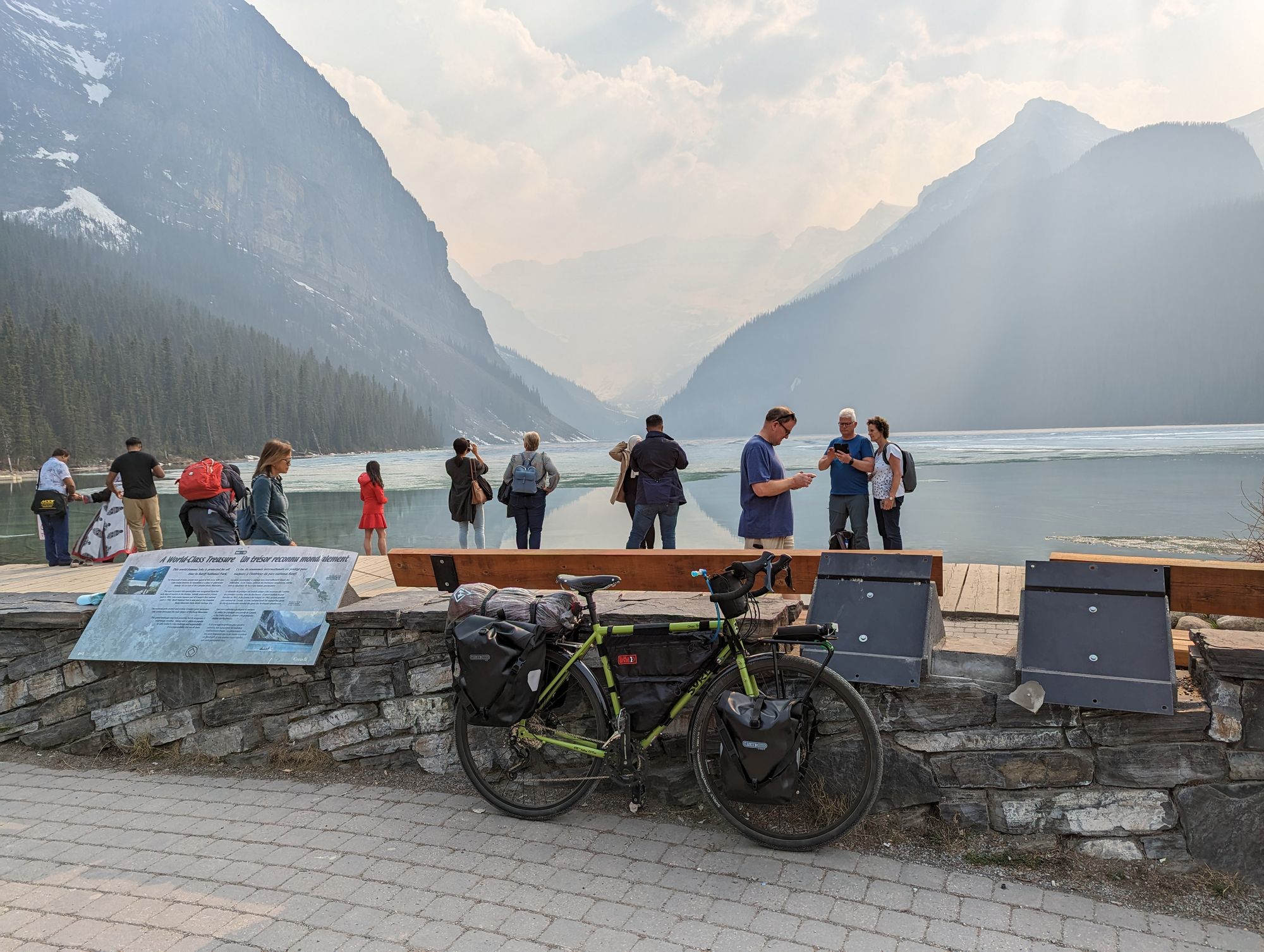
I took a quick break and then started up the hill to Lake Louise proper. Anyone who has ever been there knows this hill. It's about 4km and almost straight up. I'm not ashamed to admit...I pushed the bike up most of it. But that took 45 minutes. The sun was now definitely setting and I had to get to Field. But instead of turning to Field, I biked the last few hundred meters to snap a picture at Lake Louise. I couldn't miss the opportunity. Unfortunately, more smoke...also the Lake is still quite frozen. I snapped a quick picture and then back to the road that Google told me would take me into BC. Here Google played a trick on me...
Turns out the old highway through the mountains has been closed from Lake Louise to just outside Field for some time! Google makes it look like a road, but it's actually more of an abandoned road from the 60s that nature is well on it's way to reclaiming. It's pretty uneven and starting to become overgrown. There was LOTS of evidence of bears. Piles of bear scat laced with berry seeds and looking fresh. I kept ringing my bell because there were headwinds so I knew they couldn't smell me coming. I also sang to make my presence known. What song does a very tired Jeremy come up with at 6:45pm? Tonight I'm Gonna Rock You Tonight by Spinal Tap. You're welcome bears...
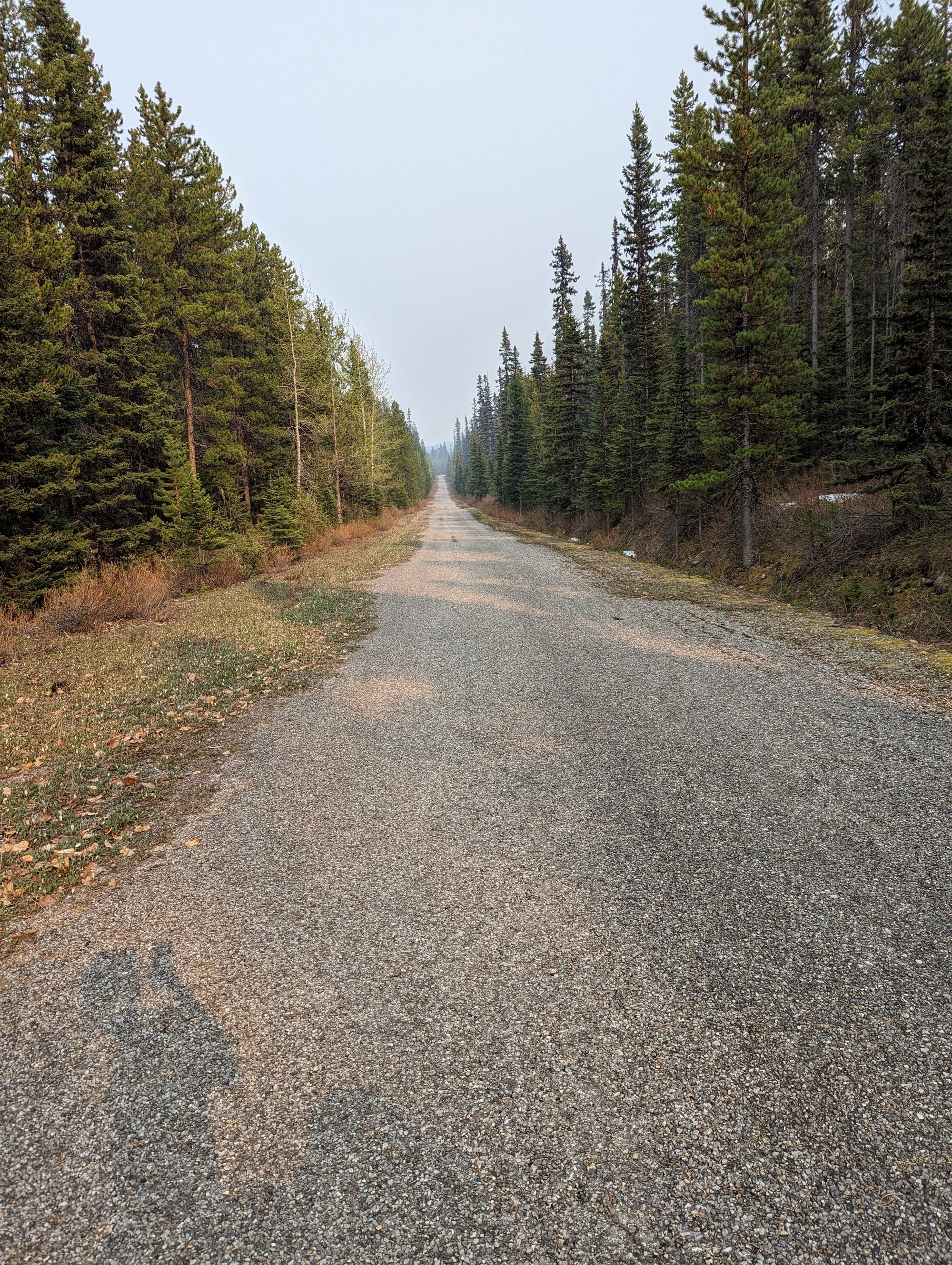
This "road" is actually called The Great Divide Trail. Wanna know why?! Because it's literally The Great Divide for North America! All waters west of this place flow to the Pacific, and all waters East goes towards the Atlantic, Hudson, or Gulf of Mexico! Sure enough, all the rivers on the other side are flowing in the opposite direction.
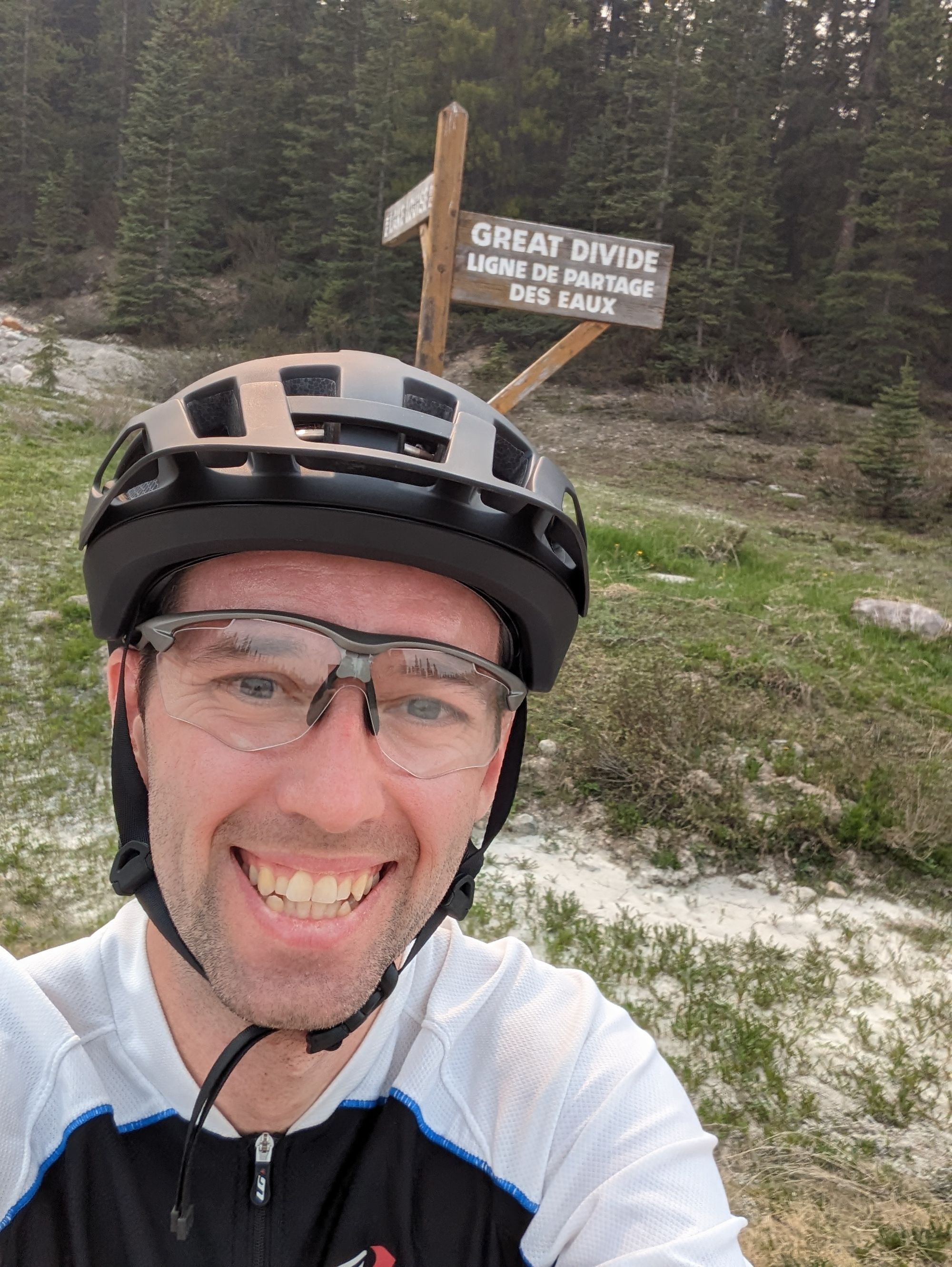
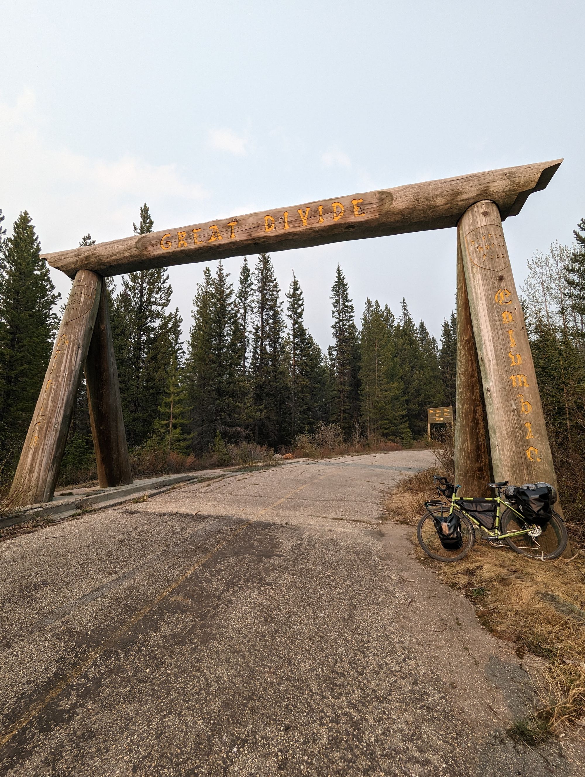
I found the old marker for the Alberta/BC border. Abandoned. Vaguely Jurassic Park. I quickly took some photos but I was dying. I pushed on and eventually reached a place I've been anticipating for a while: The Trans-Canada Highway. It's not built for bikes, and it's all fast moving traffic. I double checked that my bike light was working, and took a metaphorical leap in the dark. The shoulder was actually wonderful. The highway is in great shape and since no one actually rides on the shoulder, it's pristine! Even passed a reminder of home on the way:
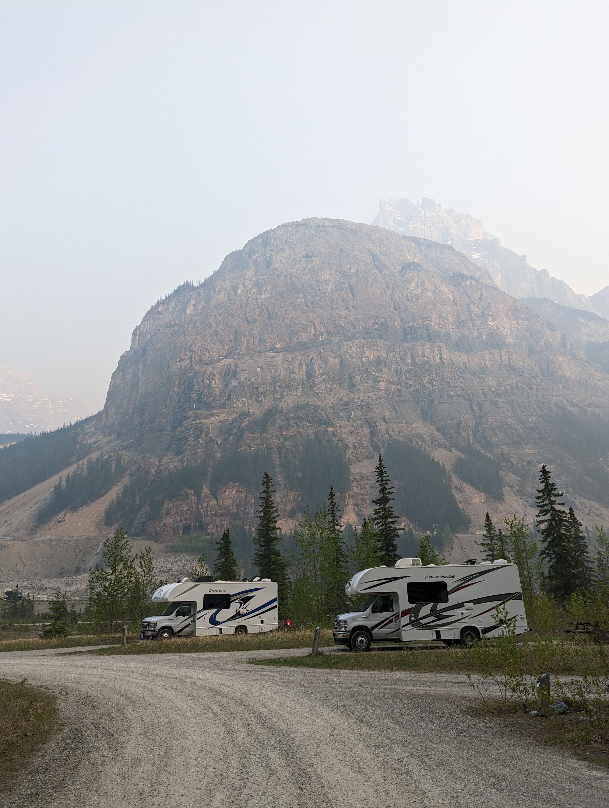
The highway was also great because I had reached Kicking Horse Pass. It was straight down to Field, BC. I reached about 58km/h and saw some magnificent vistas, even with the smoke. I was tempted to try to get a picture but I didn't feel safe stopping on the highway and was laser focused on making sure I stayed on the road at such high speeds. Eventually I reached it: Monarch Campground. It was close to the highway and the train tracks, but it didn't matter. I was just happy for the rest. It was about 7:30pm and I quickly setup camp, ate dinner, stretched, and got to bed. Total of 109.8km on the odometer for the day. And I was in British Columbia!