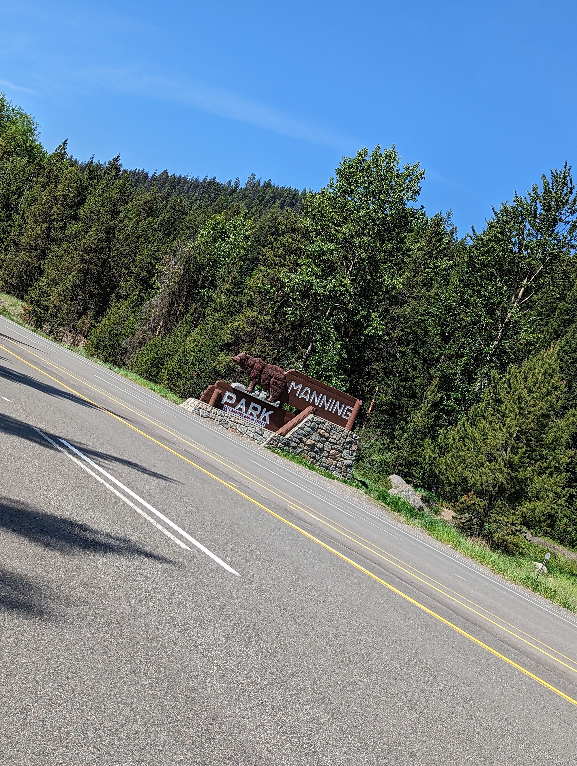
Day 24: Manning Park, BC -> Keremeos, BC
Jeremy goes downhill and visits a familiar town
Date: Wednesday, June 7, 2023
Start: Manning Park, BC (Coldstream Campground)
End: Keremeos, BC (Eagle RV Park and Campground)
Distance: 137km
I woke around 6:30am and set about packing and getting out. I wanted to try to get an early start on the day because the plan was to put on a lot of distance! Packed the tent, made breakfast, packed the bike, and I was off at about 8:45! I grabbed water on my way out of the campsite anticipating another warm day.
Only three kilometers down the road was Manning Park Resort. It seems like some kind of cabin rental area with lots of trails converging there for hiking. I'm not sure it's exact purpose. But it DID have a small store! I stopped and bought a chocolate milk and a postcard. I sat at a picnic table outside and downed the chocolate milk.
I spent a long time staring at the mountains hills to the south. Only 13km away is a monument that marks the northern terminus of the Pacific Crest Trail (PCT), a 4270km trail from Mexico to Canada. It was the original plan for this summer, but I'd procrastinated on the planning and so plan B is this bike ride. While planning the bike ride I'd mused about stopping here and hiking to the monument just to see it...but I didn't bring the right gear to do 26km of hiking while also doing thousands of kilometers of biking. I sat for a long time and stared. One day I will walk out of those woods having completed the PCT. One day.
But one dream at a time.
I jumped back on my bike. I'd been so lost thinking about the PCT that I left the postcard on the picnic table.
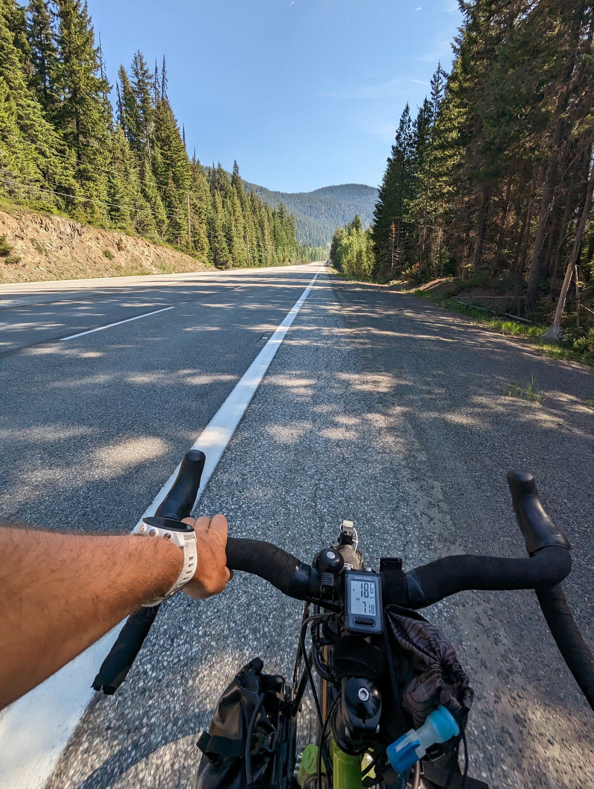
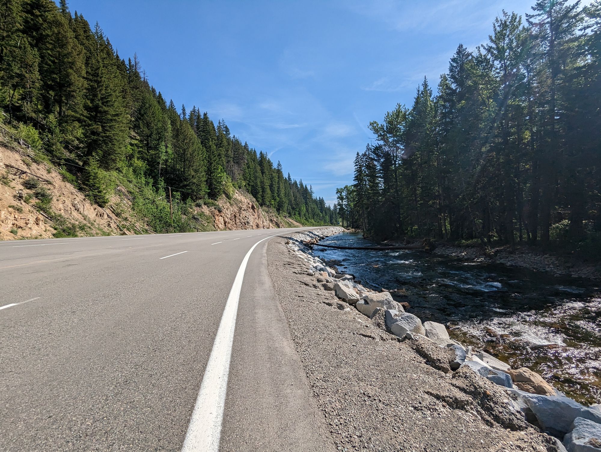
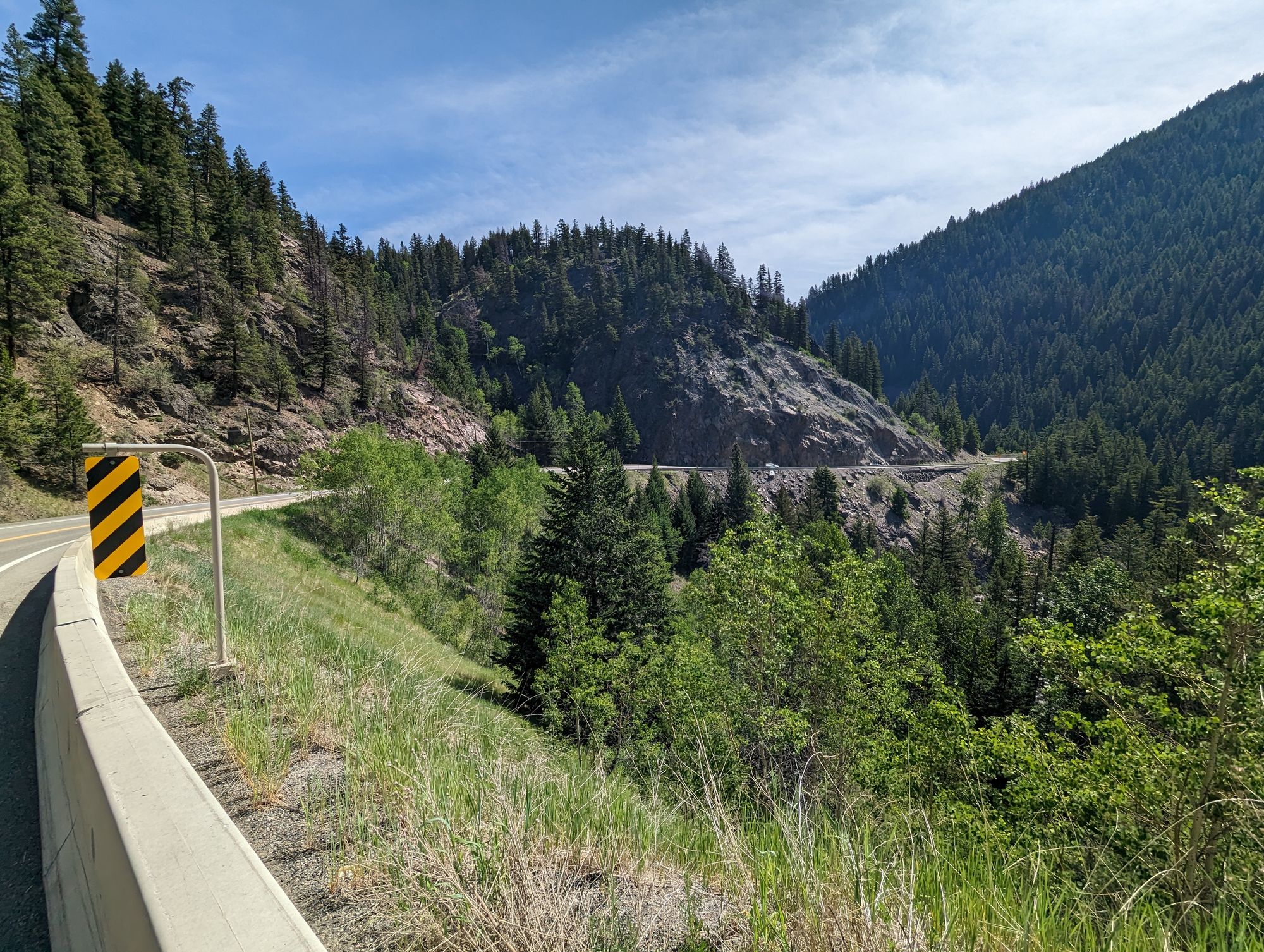
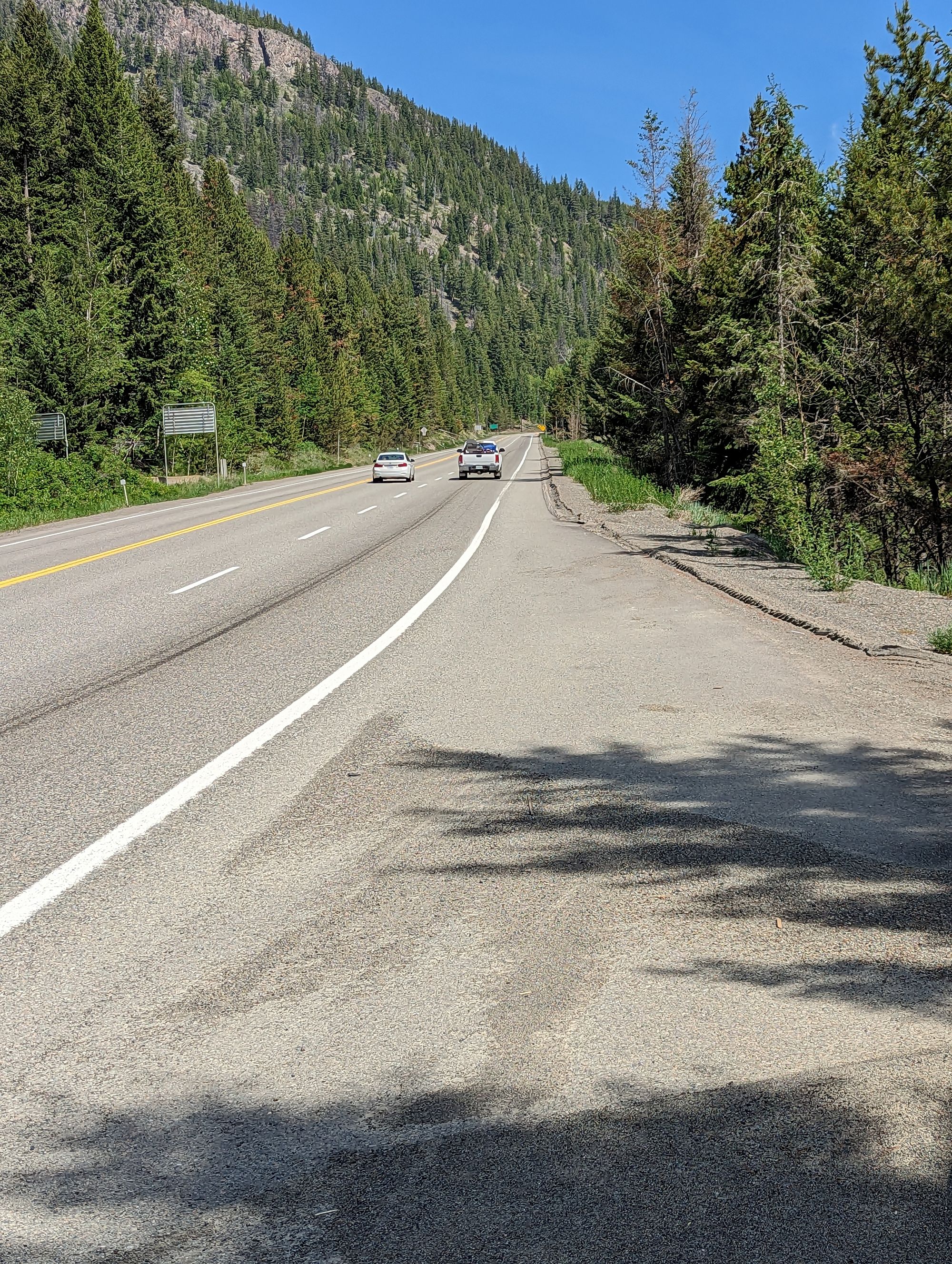
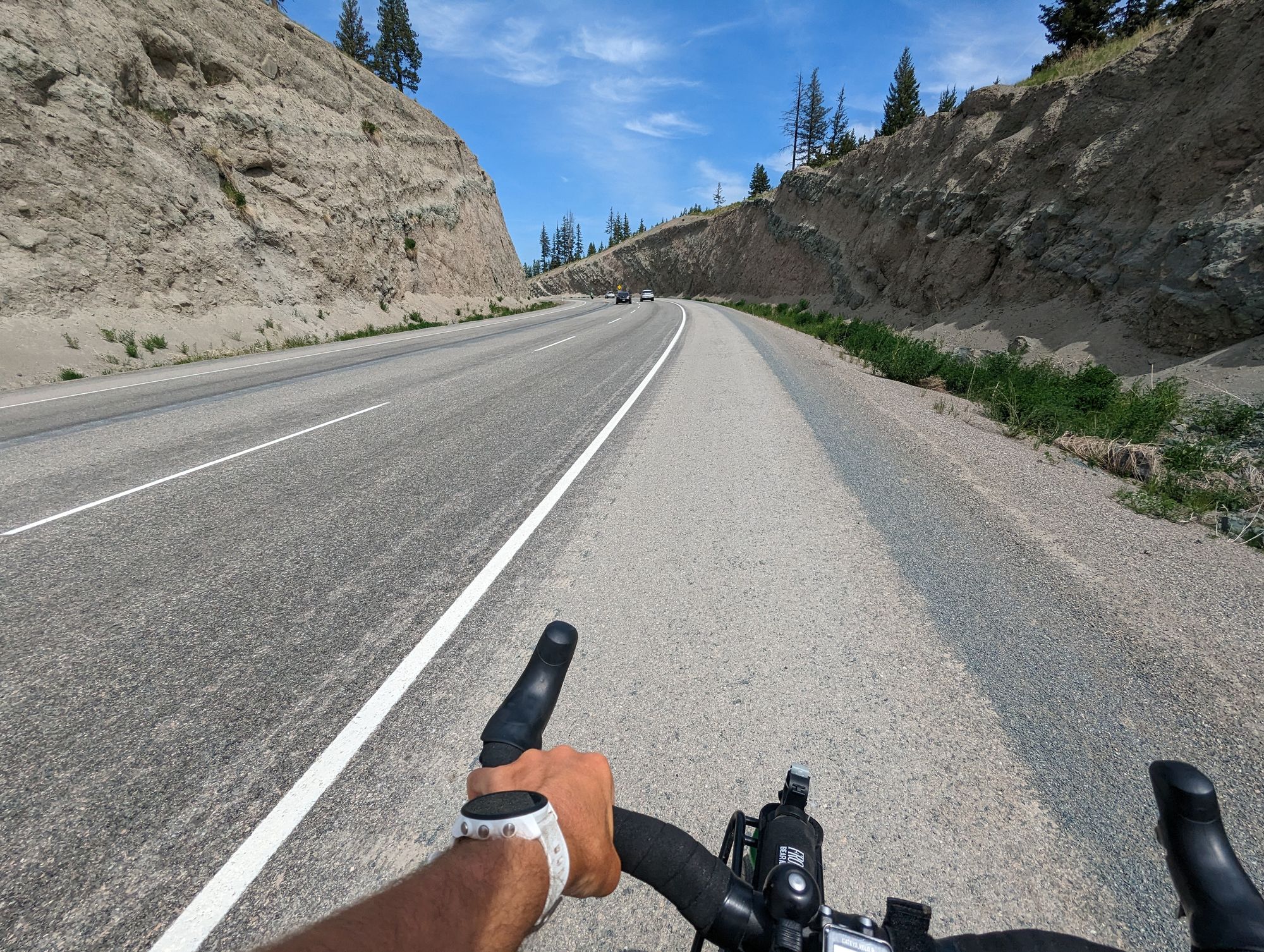
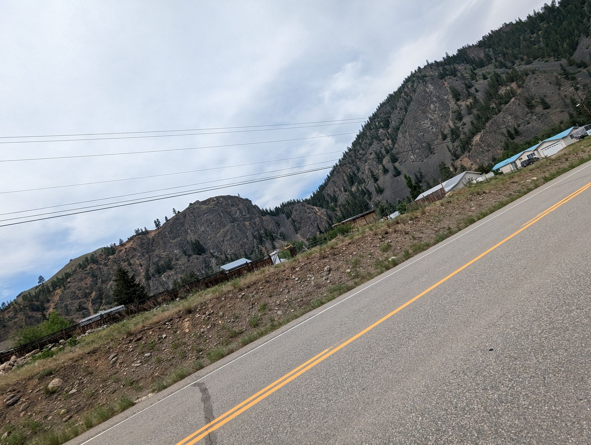
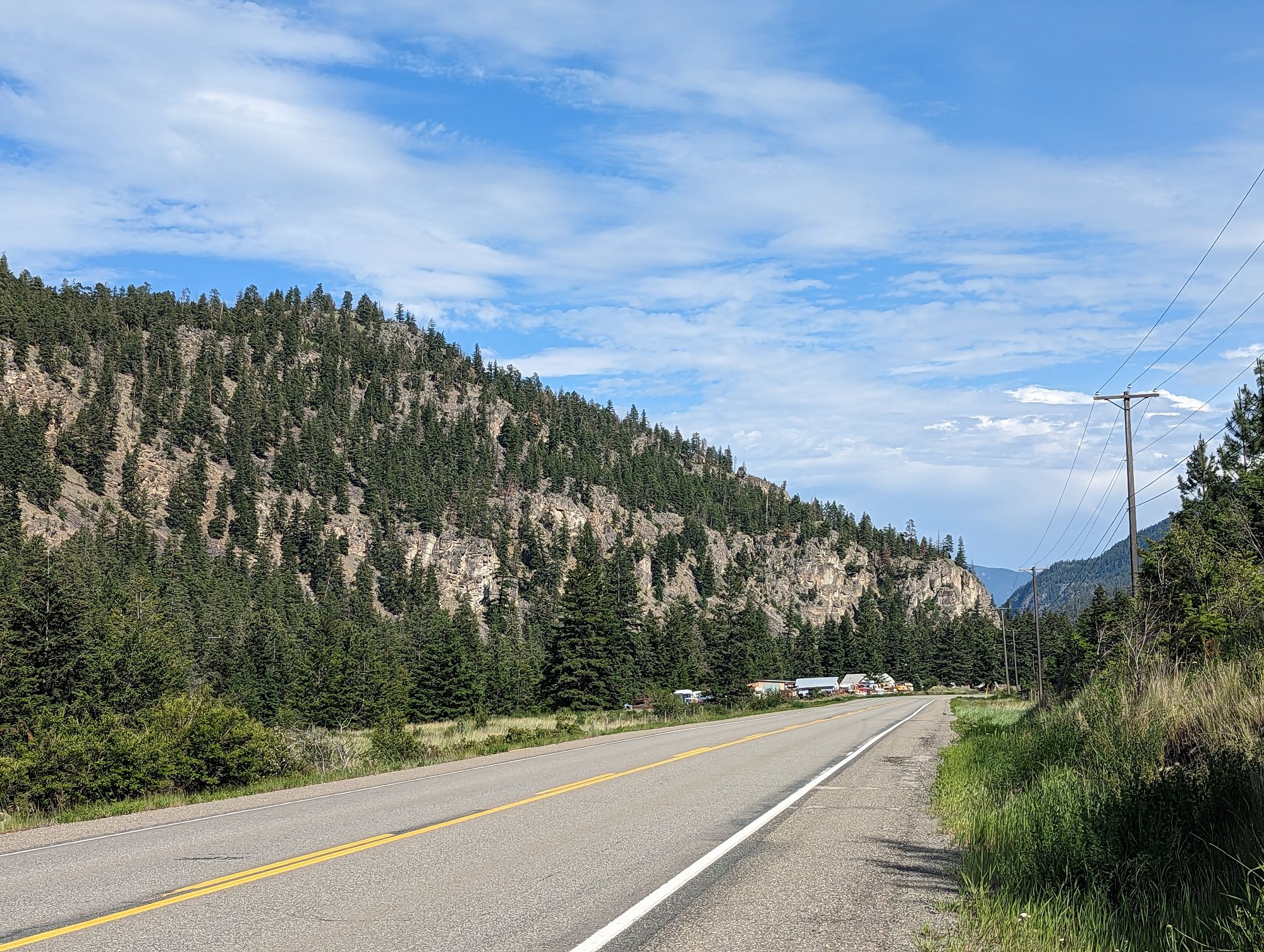
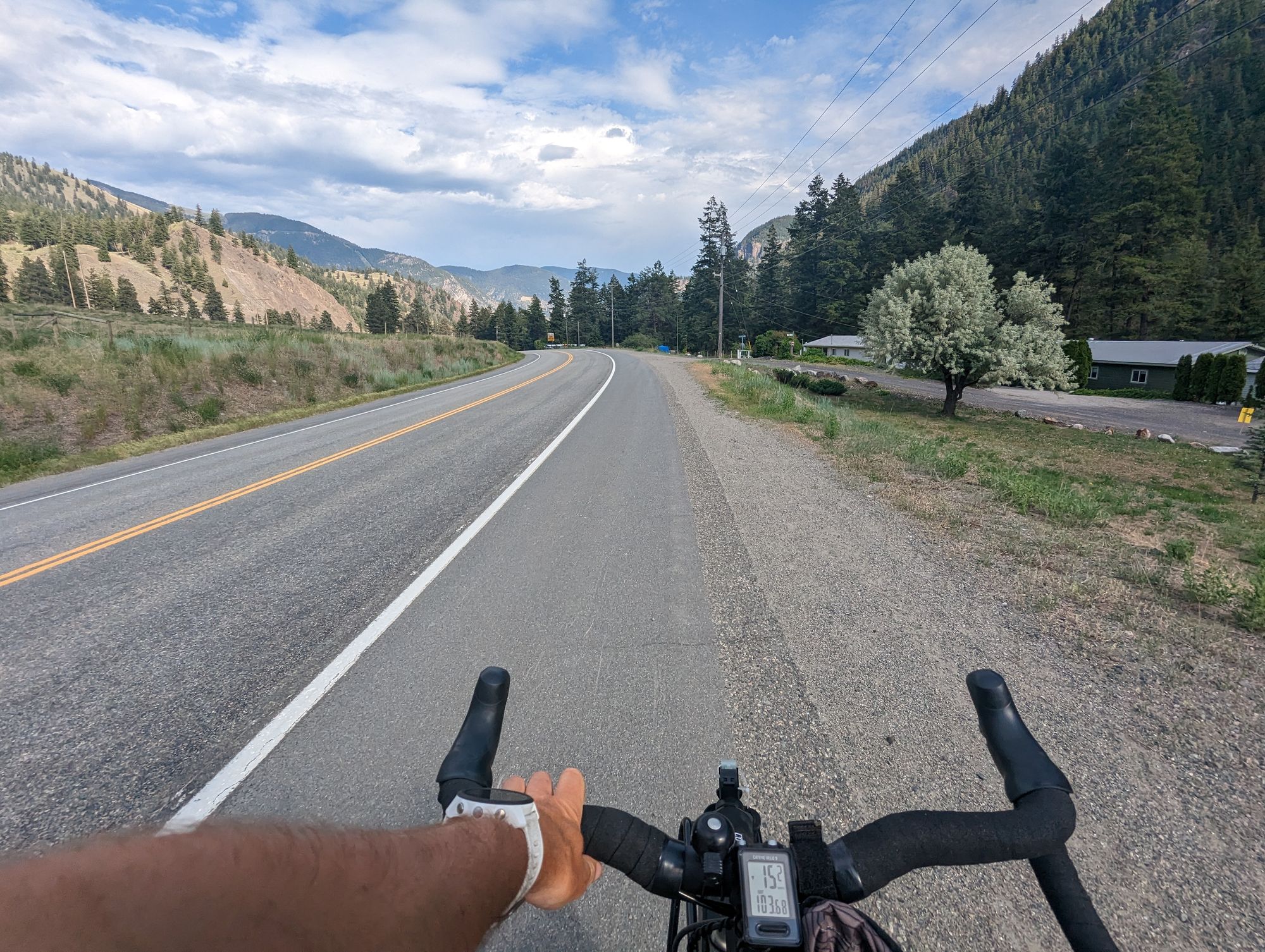
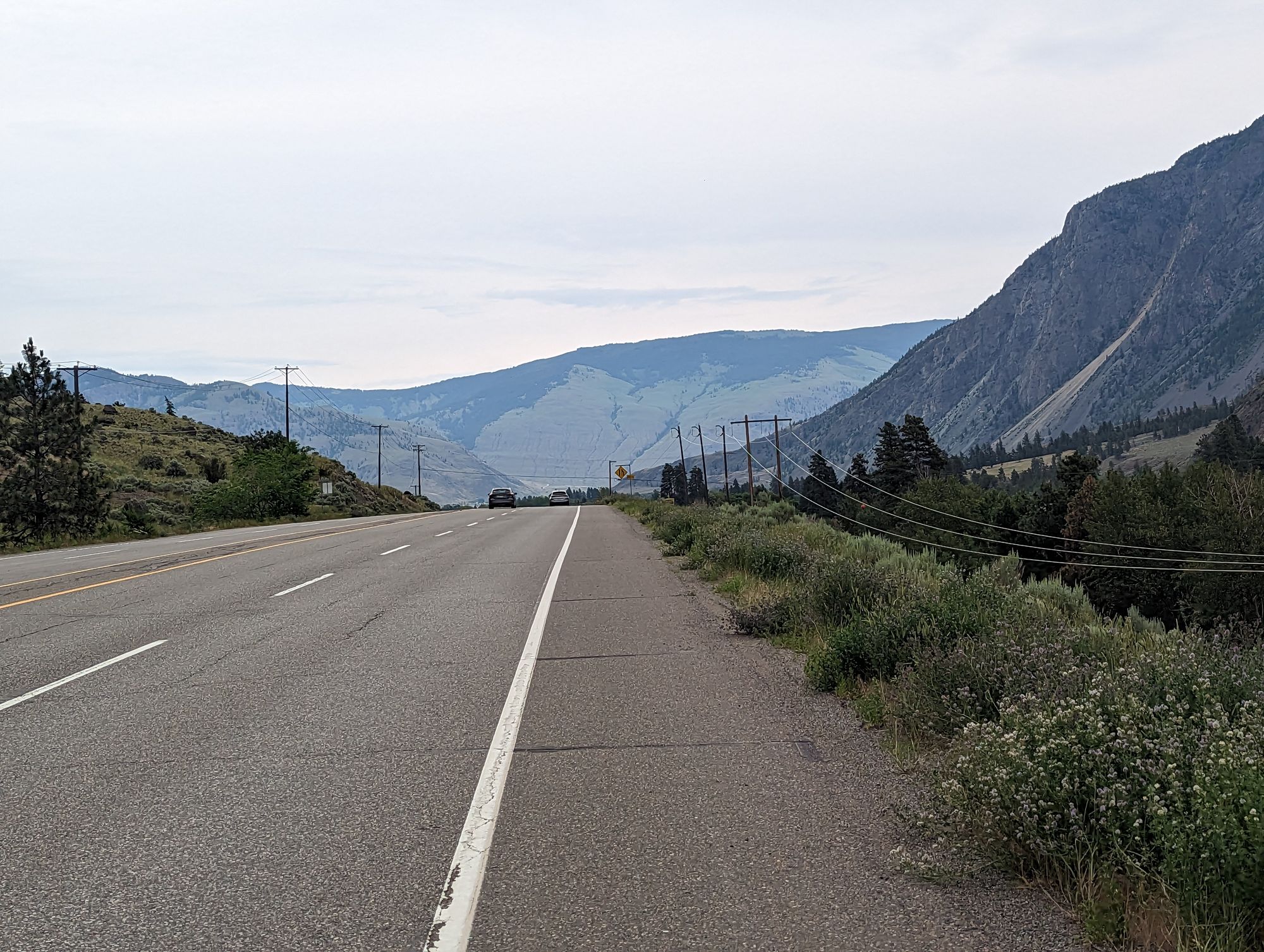
Manning Park sits in the Cascade Mountain range of the Rockies. It's covered in lush mountain forests. All coniferous. I road along the highway surrounded by the greenery and following the path of the Similkameen River. I didn't know it, but I'd be following this river all day. The road was all downhill, more payoff from my climb the previous day
Some pictures from the early morning ride.
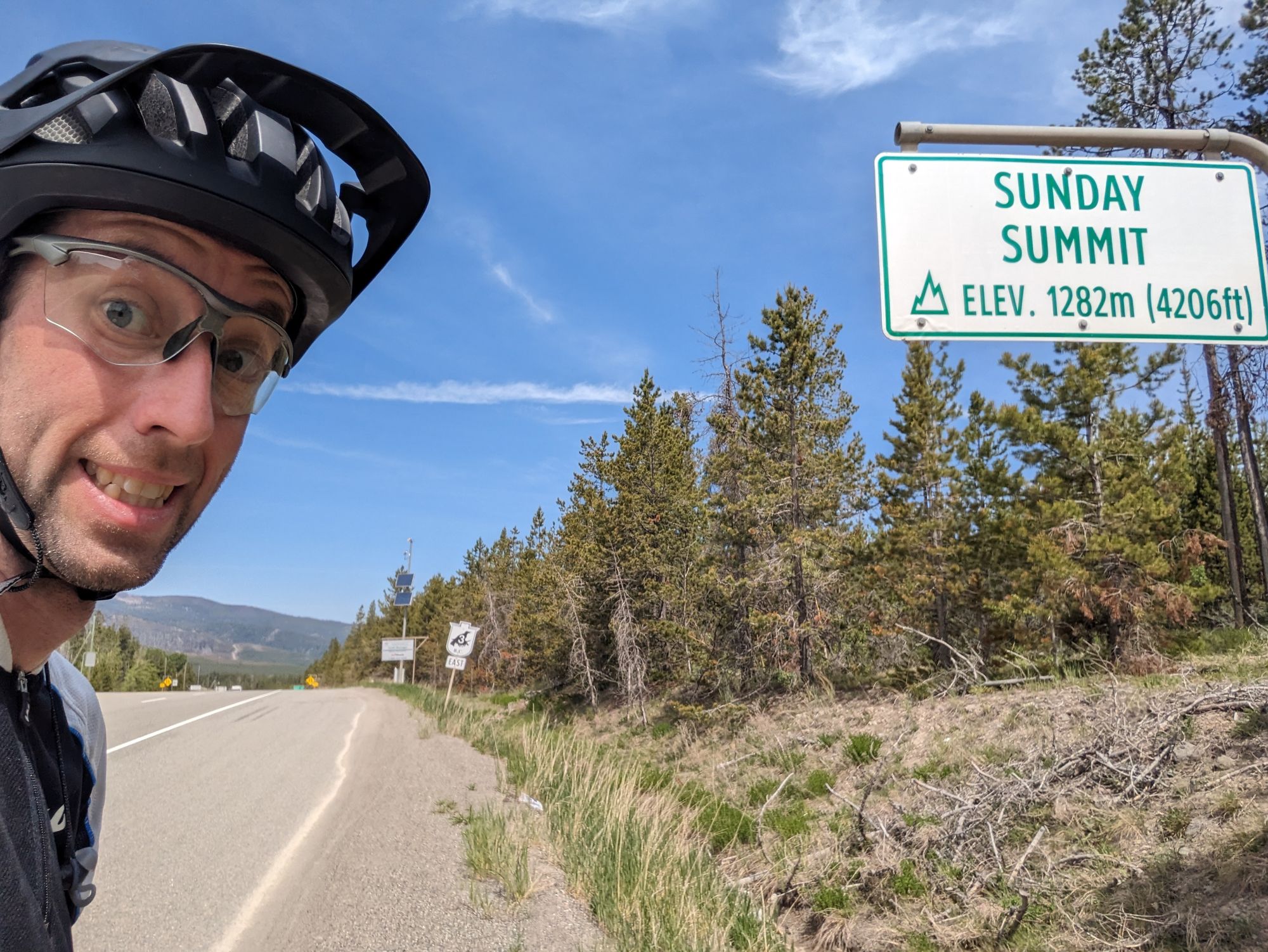
I didn't know it yet, but I was going to end up paying for the downhill I was doing all morning. Eventually the climbing started again. And like the last time...it just kept going.
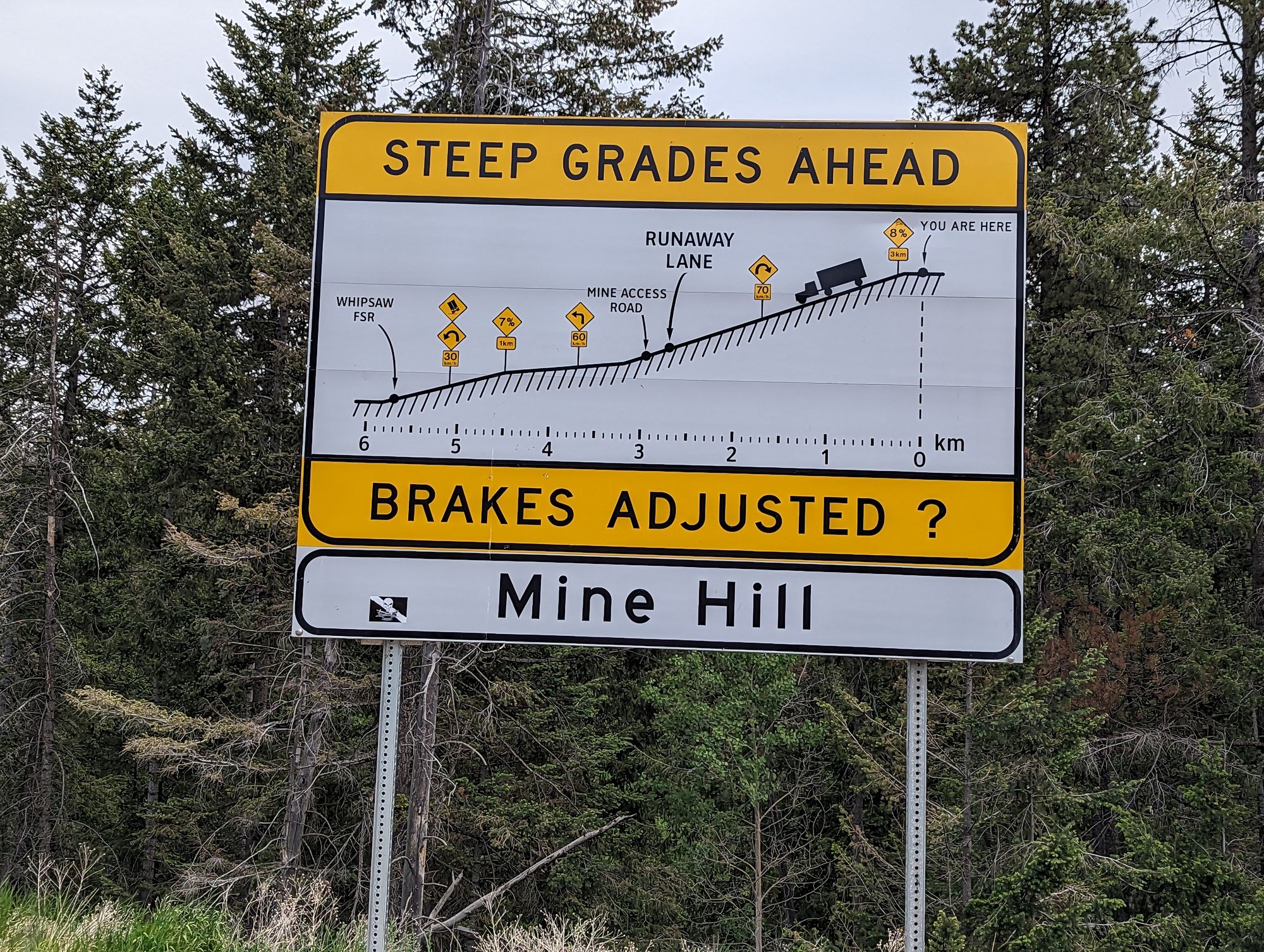
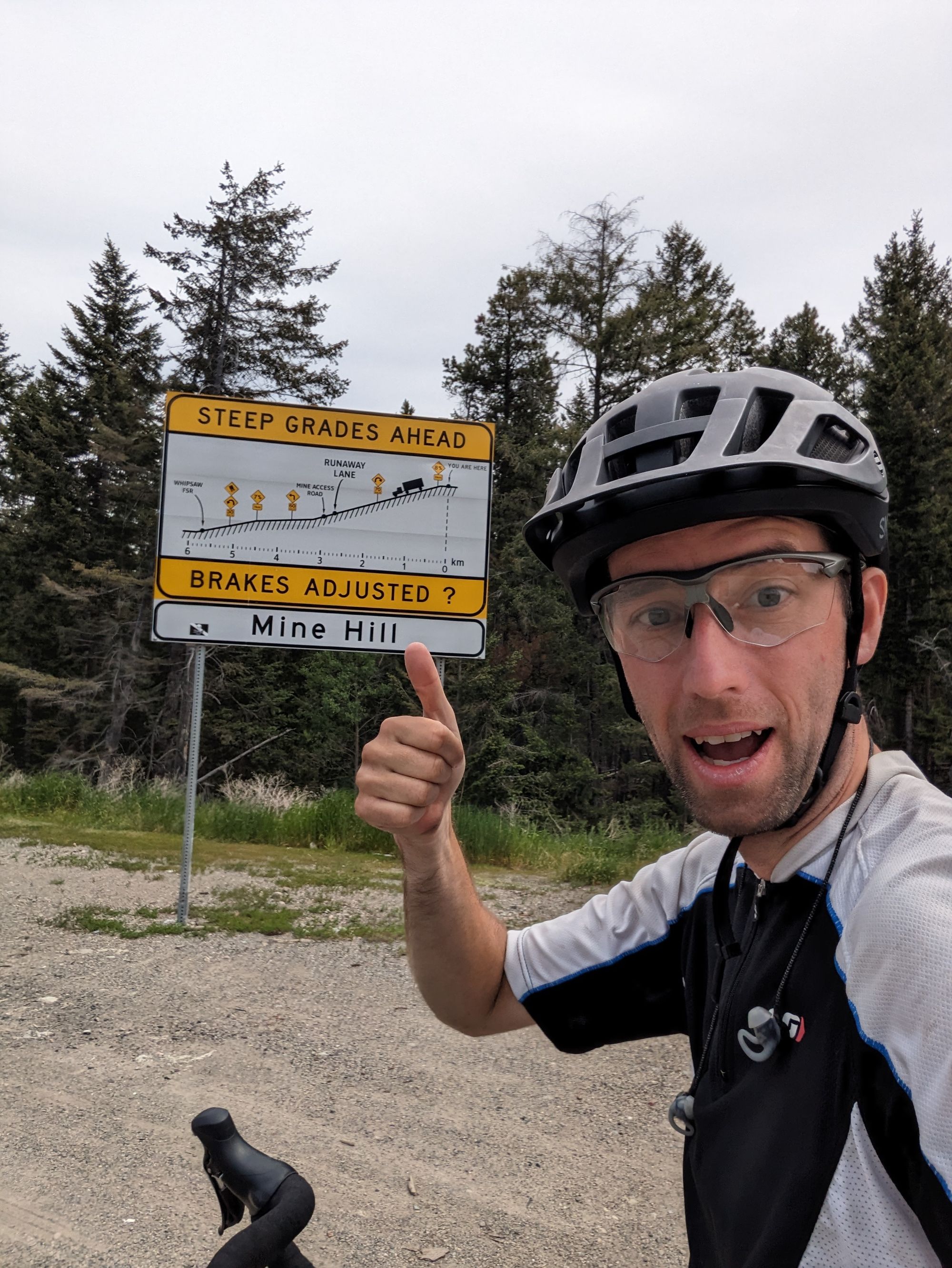
It was 6km. It's known as Sunday Summit. It was only about half of the elevation of Allison Pass, but it still felt like an incredible grind!
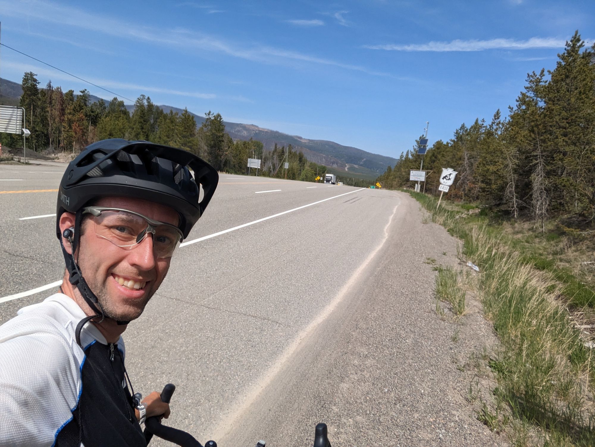
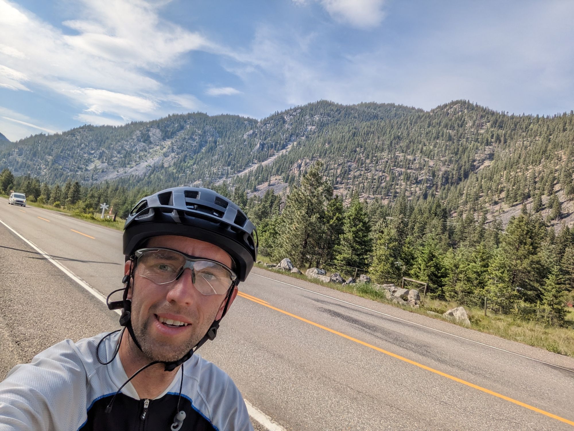
After making it over, I was treated to some up and downs for a while. I passed by someone on a bike who waved as he went by. It's a little early for him to be completing a coast-to-coast ride, and I wondered where he might be off to! Eventually I was rewarding for my days climbing by descending down Mine Hill towards Princeton, BC. Another 6km of serious downhill. I wish I could have taken a picture, but I was doing 50km/h and it wasn't the time to ignore all the "be carefuls" that everyone has been telling me!
The view was spectacular however. And I can't do it justice in words. But I'll try to tell you a bit about it.
Manning Park sits in the Cascade Mountains. The reason the park is so green is that the elevation forces the clouds to drop their rain before it can get past the mountains. This is why Manning Park is so green. But this also means that the other side gets very little rain. The effect is known as a "rain shadow" and it makes the area to the east of The Cascades VERY dry.
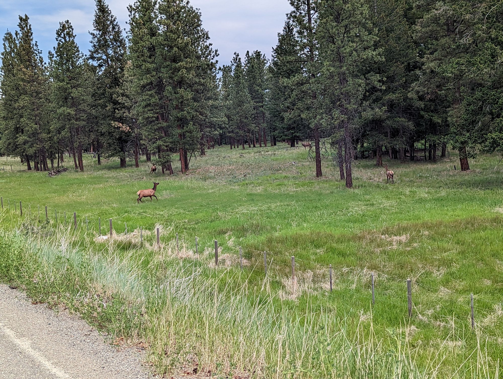
On my decent down Mine Hill I felt the temperature increase by what felt like 8 degrees. It was sweltering, dry heat. It was difficult to comprehend a change so sudden and stark, but the landscape immediately changed as well. Gone were the green mountains, and it was replaced with sparse trees and grasslands. It felt like something out of the old West of the American frontier. No longer hidden by trees, the mountains revealed their cragy, rough relief. Scrub brush covered what the grassland couldn't carpet.
I was in a new biome.
I passed some elk grazing in a field. I tried not to stare at the beauty unveiling itself to me as I continued to descend.
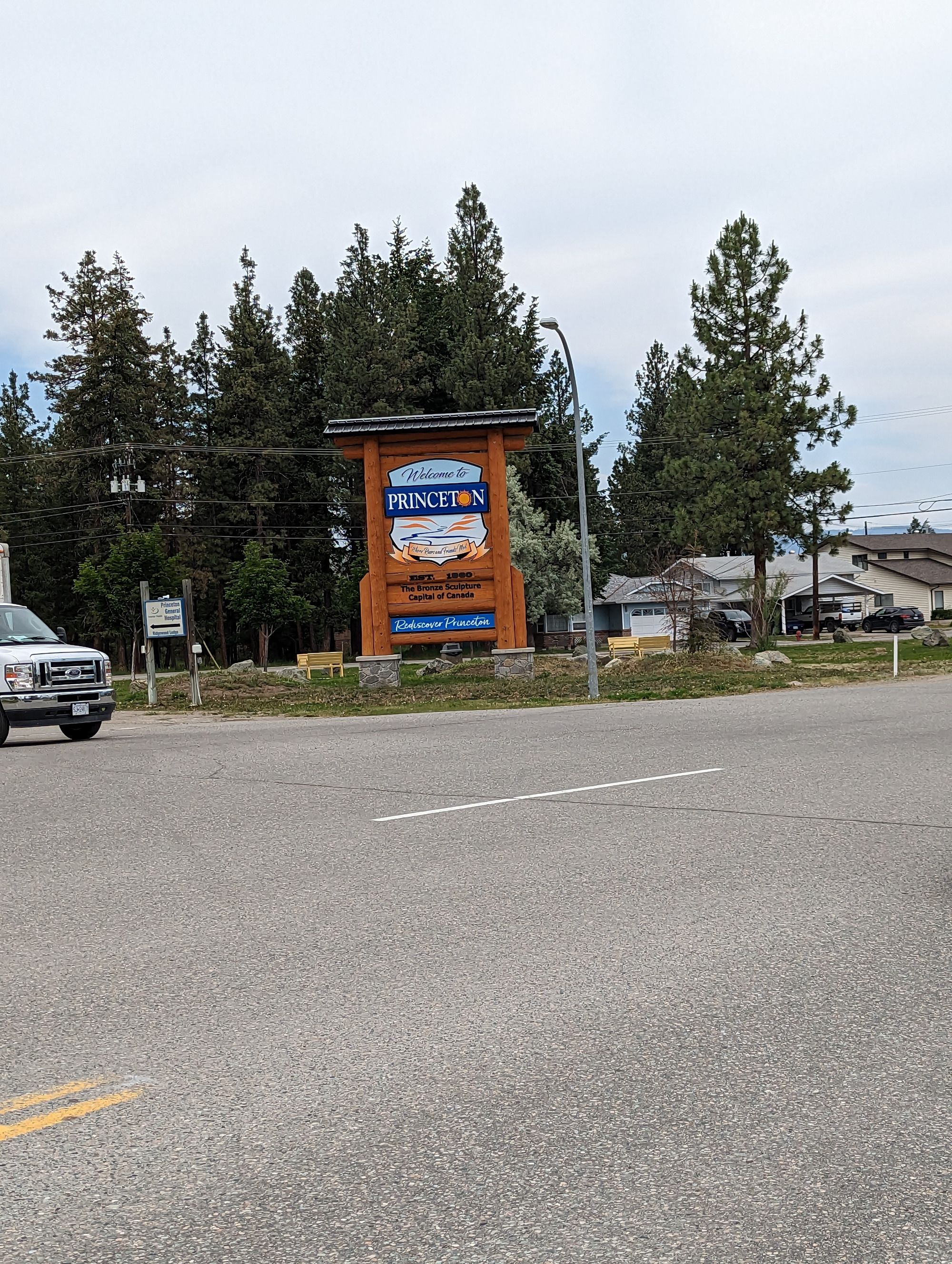
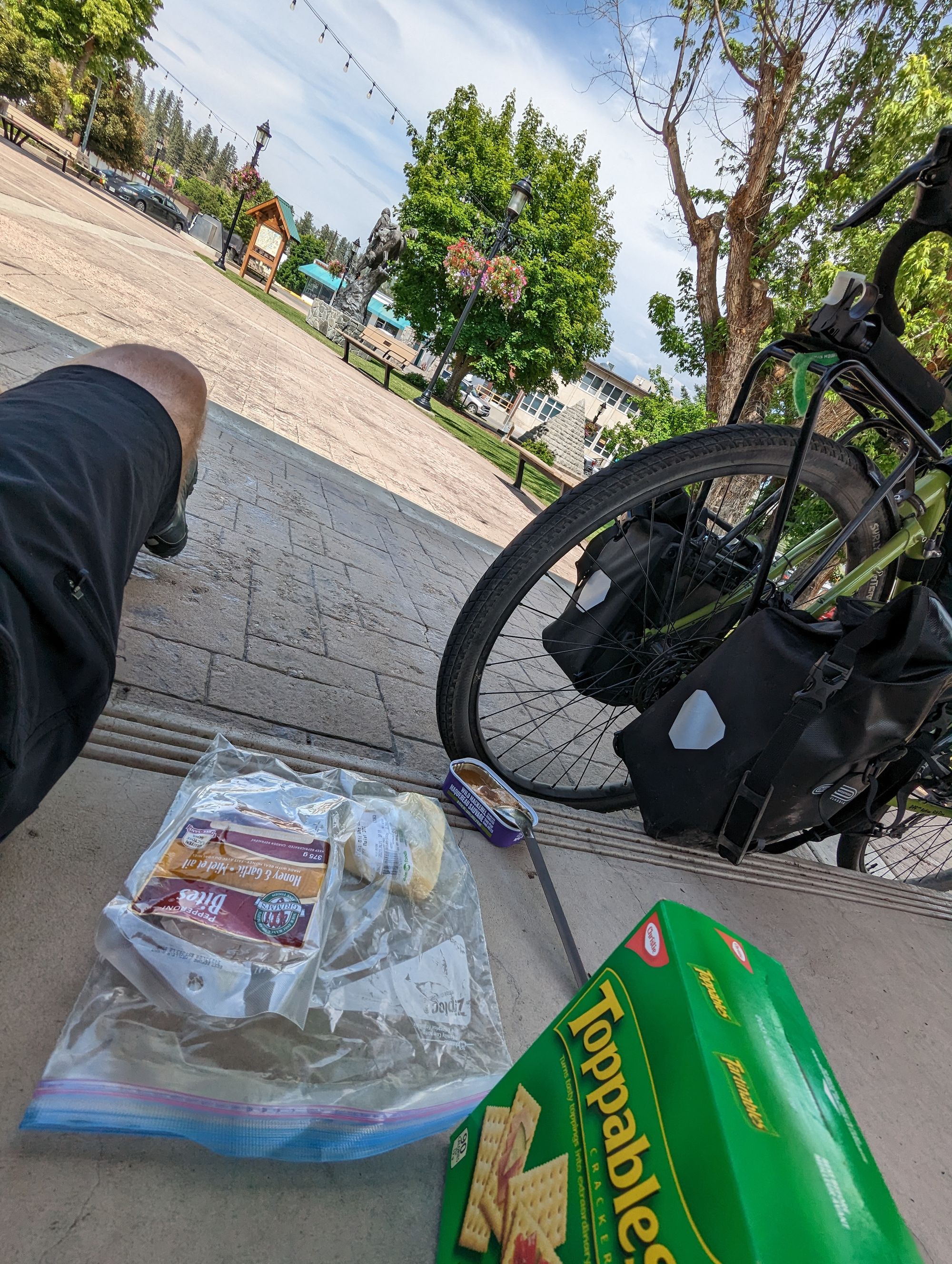
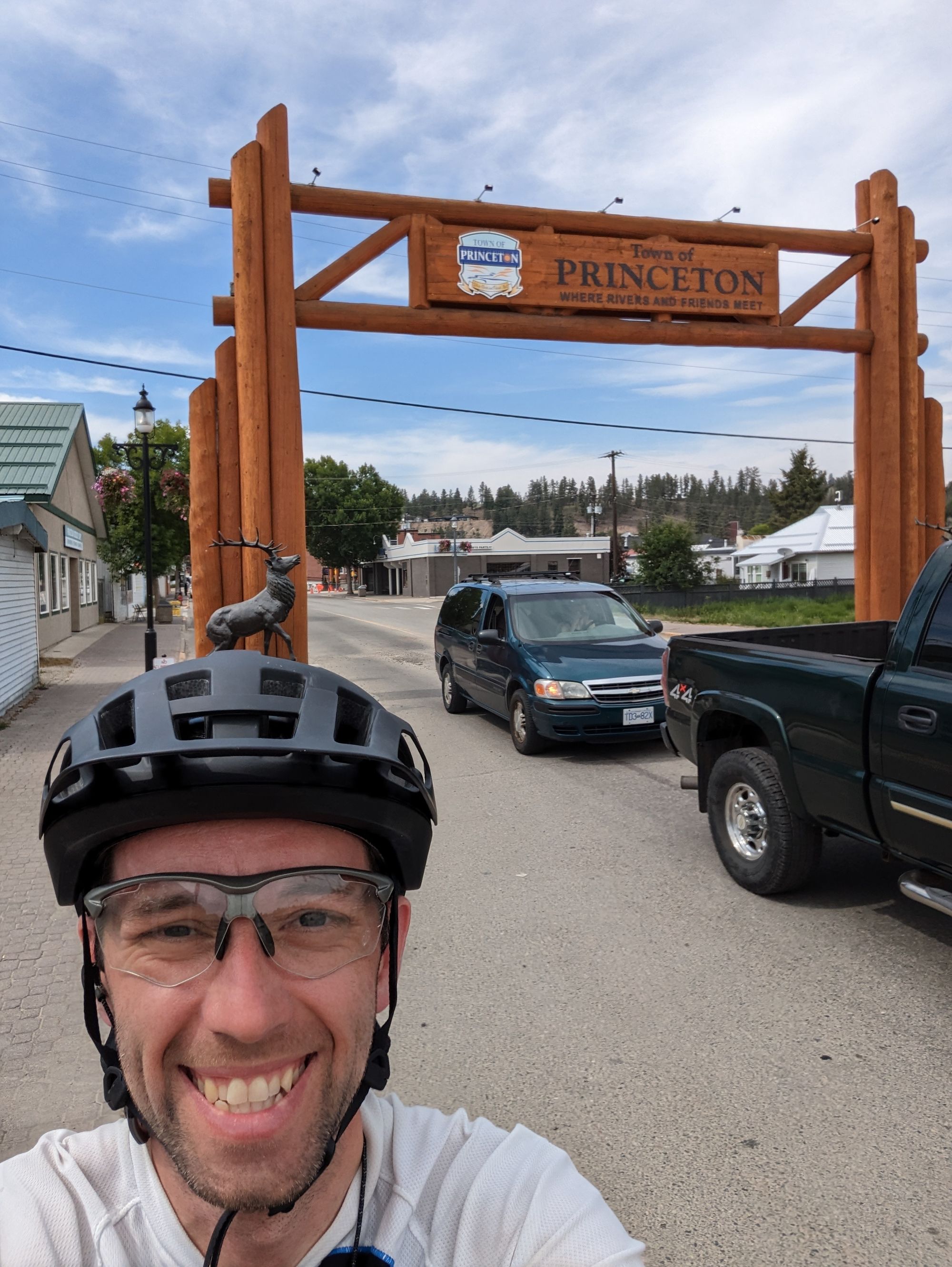
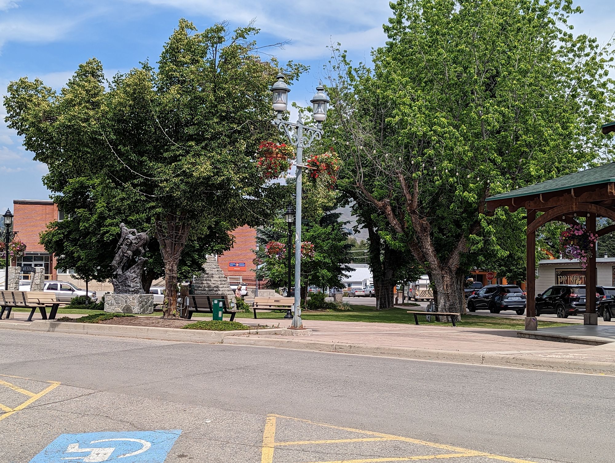
I reached Princeton at about 1pm. If you've been following along, you'll remember that I passed through Princeton on the Kettle Valley Rail Trail after leaving The Okanagan. I was happy to return, except it was different this time. It. Was. So. Hot. 33 degrees centigrade! I set about my business in Princeton. First was a postcard and present I'd promised someone. Next was any kind of blended coffee chocolate drink. which I found at the Cool Beanz Coffee House. Next was lunch. I had cheese, crackers, and salami already. I wanted to grab some ice tea mix (one of those little squeeze bottles) and some more mackerel. I got it all and went back to the downtown park to eat in the shade.
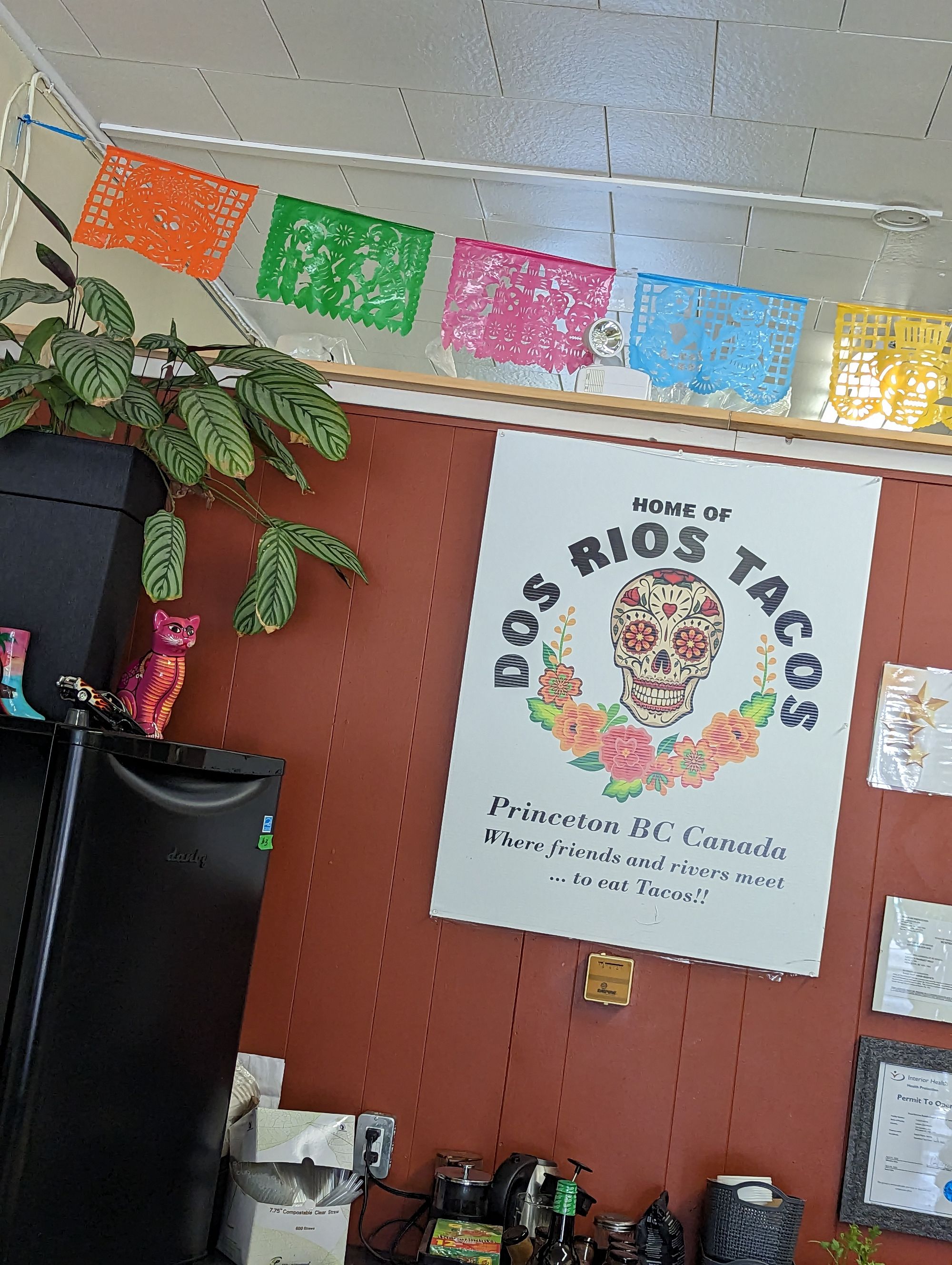
A taco place across the street advertised fresh juice, so I decided to throw a little patronage their way and greedily gulped down a strawberry lemonade in the heat.
Next I went to the local library branch to use the WC and get some water. The Okanagan Regional Library (ORL) serves the entire Okanagan region, and I've seen branches in Golden, Revelstoke, Kelowna, and now all the way to Princeton. It's an incredible system. I'm not sure I've seen anything so extensive for such a large geographic region.
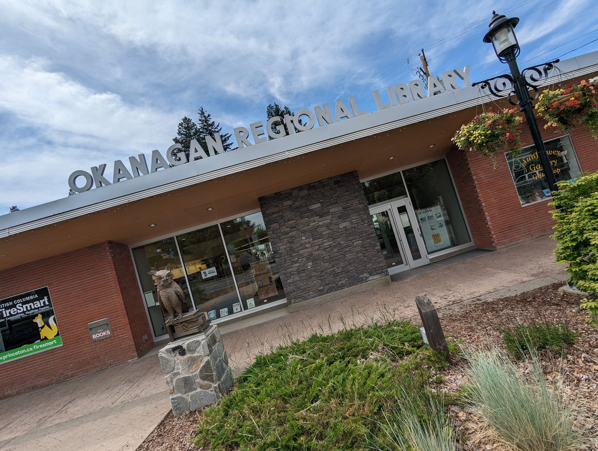
But the Princeton branch of the ORL doesn't currently have any potable water. In fact, about half of Princeton lacks safe drinking water. The librarians explained that the floods from 2021 had knocked out some of the town's water infrastructure. AND IT HASN'T BEEN FIXED YET!
They've been living under a boil water advisory for 1.5 years now. Homes, business, at least two schools! THAT IS INSANE!
Anyway, the library staff bring in their own water every day so they have something to drink. And they filled my water bottle from their personal supply. I can't thank them enough, because it turns out I was really going to need it!
I told them I'd write about Princeton's water situation on my blog. It may be only a town of 3000 people, but it deserves better. I decided to also write a letter to their elected representatives to register my displeasure and try to bring it to their attention. Here it is:
Hello,
I recently began a cross-country bike ride. I started in Calgary and biked west to Victoria. On the way I passed through the town of Princeton, British Columbia. After reaching Victoria I turned back and am now heading east to St. John's, Newfoundland. On the return trip I once again passed through Princeton, British Columbia whereupon I became aware of the situation with their drinking water.
Since the floods of 2021 Pacific Northwest Floods the town has been under - at best - a boil water advisory and at worst had their water availability completely disrupted. This includes homes, business, and at least two schools.
During my two stops in Princeton I learned about their history on Mine Days, and visited many local businesses where I talked to the people of the town. Their generosity and community is among the best I have experienced in my almost 2000km of cycling so far. They deserve better than to live with the uncertainty of unsafe drinking water. I understand that replacing and fixing the water infrastructure of a town this size is not simple, but to have lived this way for 1.5 years to me seems unacceptable.
I urge you to work harder and faster to make sure the people of Princeton can once again drink from the tap without having to wonder if it is safe.
Thank You,
Jeremy Stuart
I sent this to their town council, MLA, and MP. I hope it helps!
I chatted with plenty of people as I walked the streets and went about my business. But now it was time for me to say goodbye to Princeton. The town and surrounding region might be - for my money - the most beautiful place I've seen in the country.
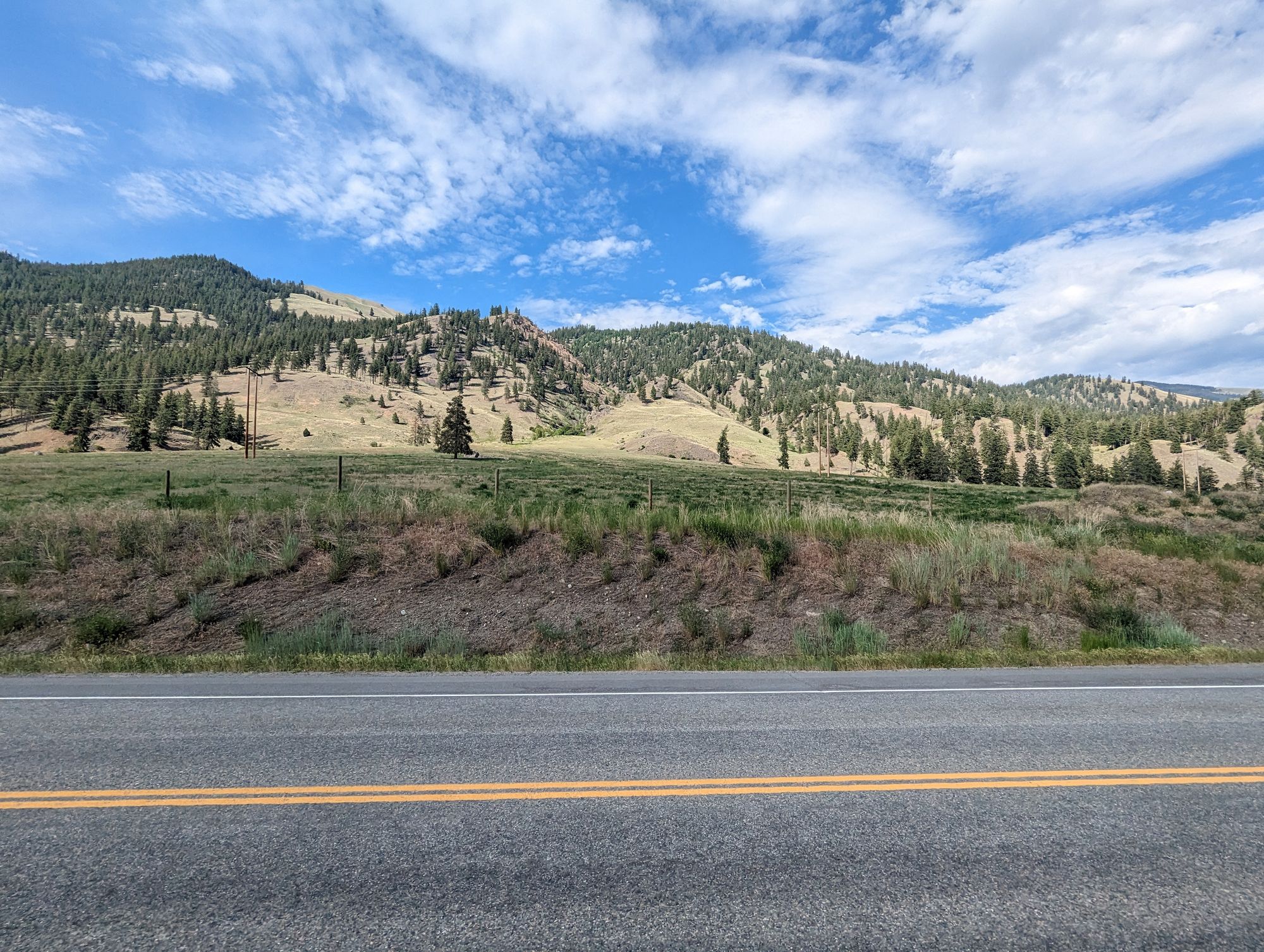
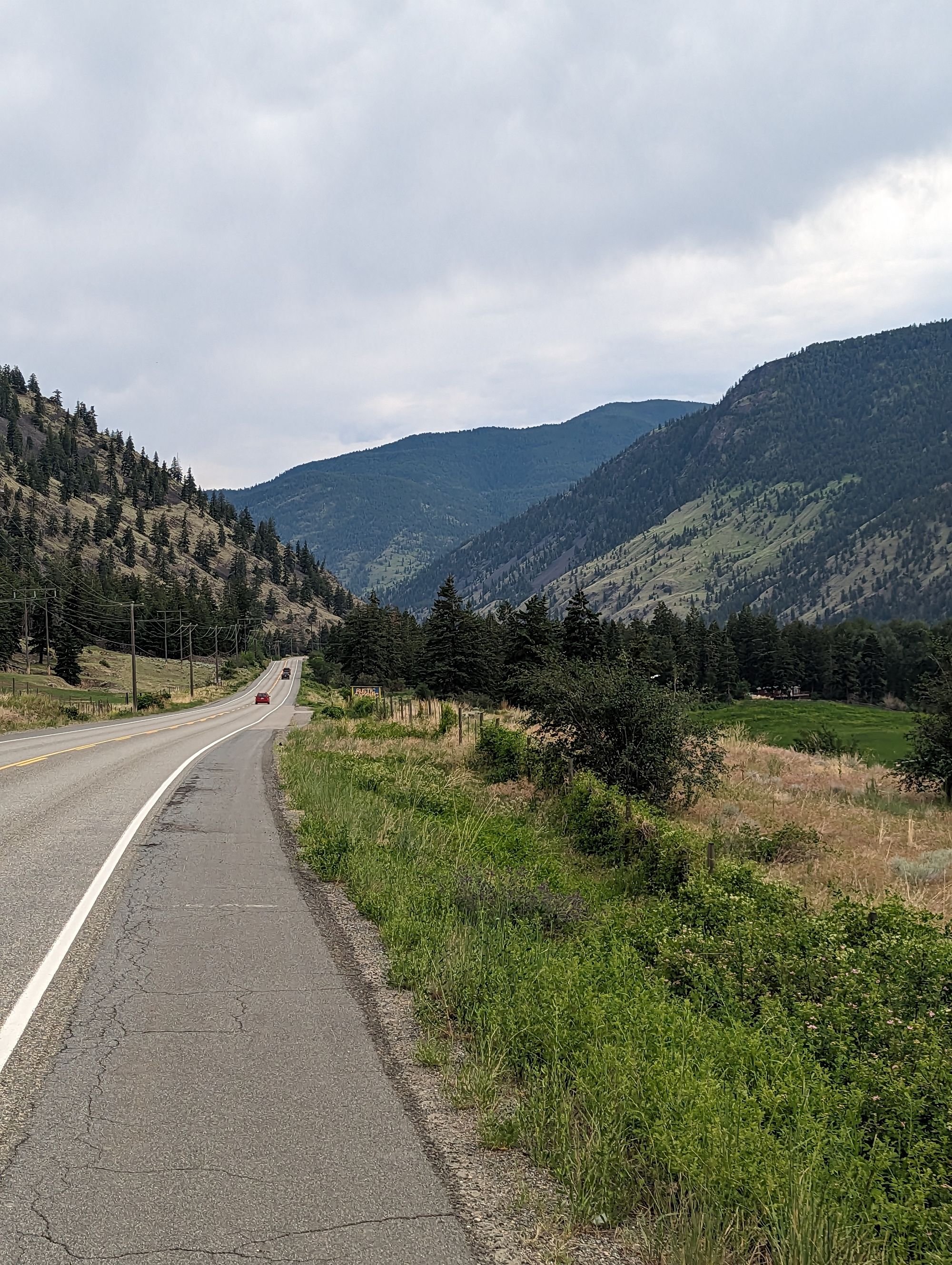
I continued biking out of Princeton down highway 3. It would take about 4 hours to get to Keremeos but it was mostly downhill. However the heat was oppressive. And I was getting a fair headwind as a rainstorm started moving into the valley from in front of me.
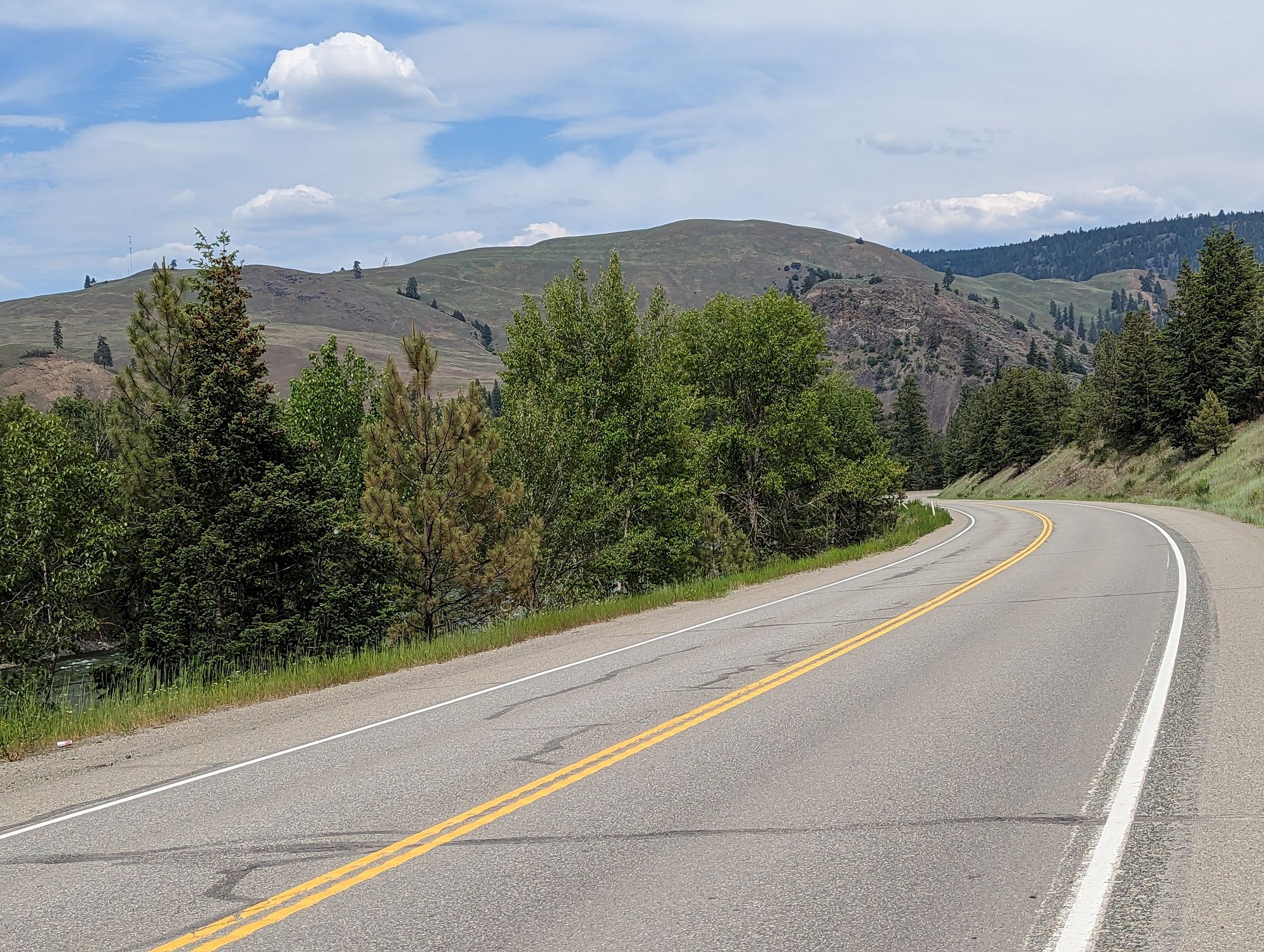
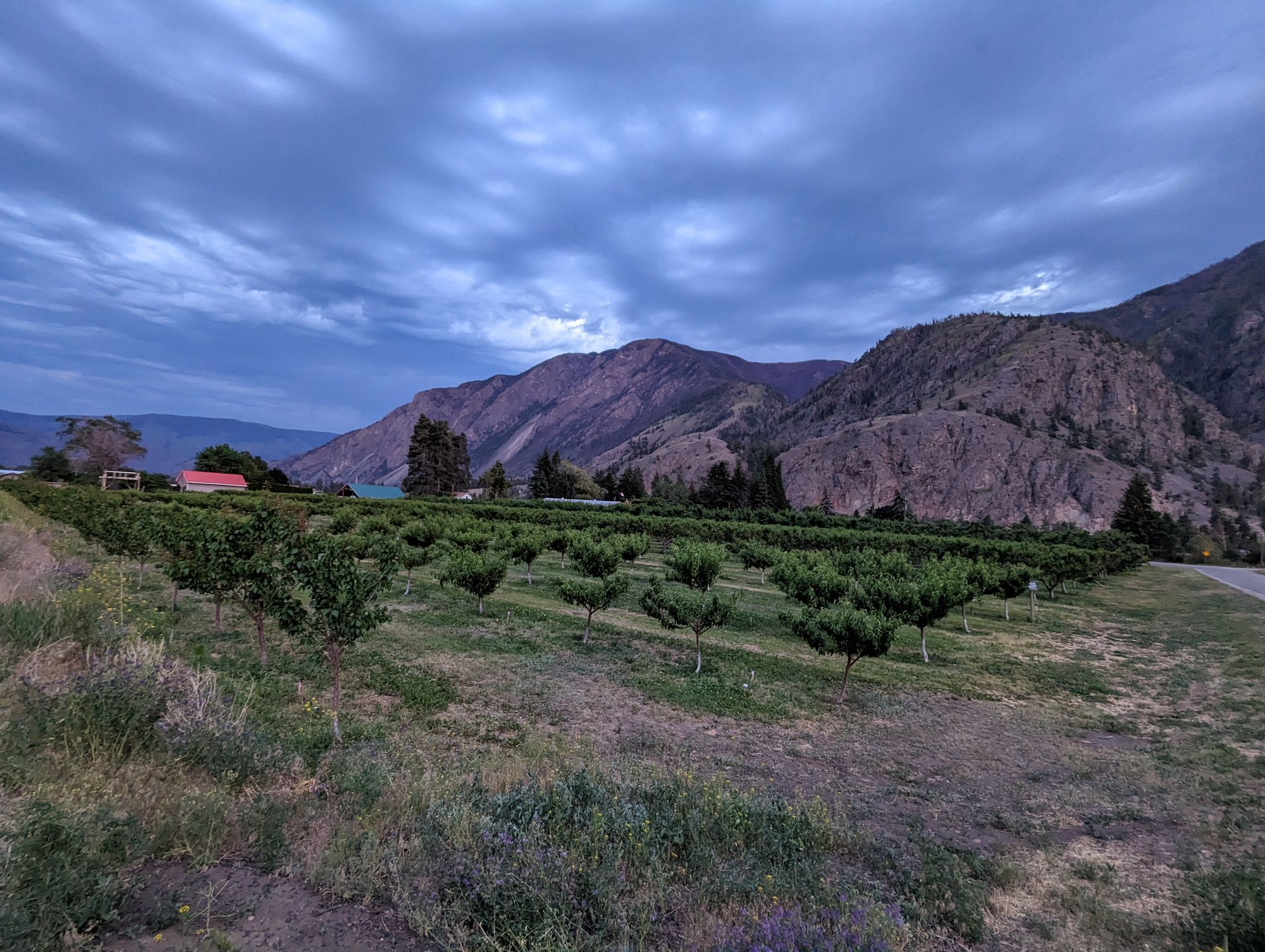
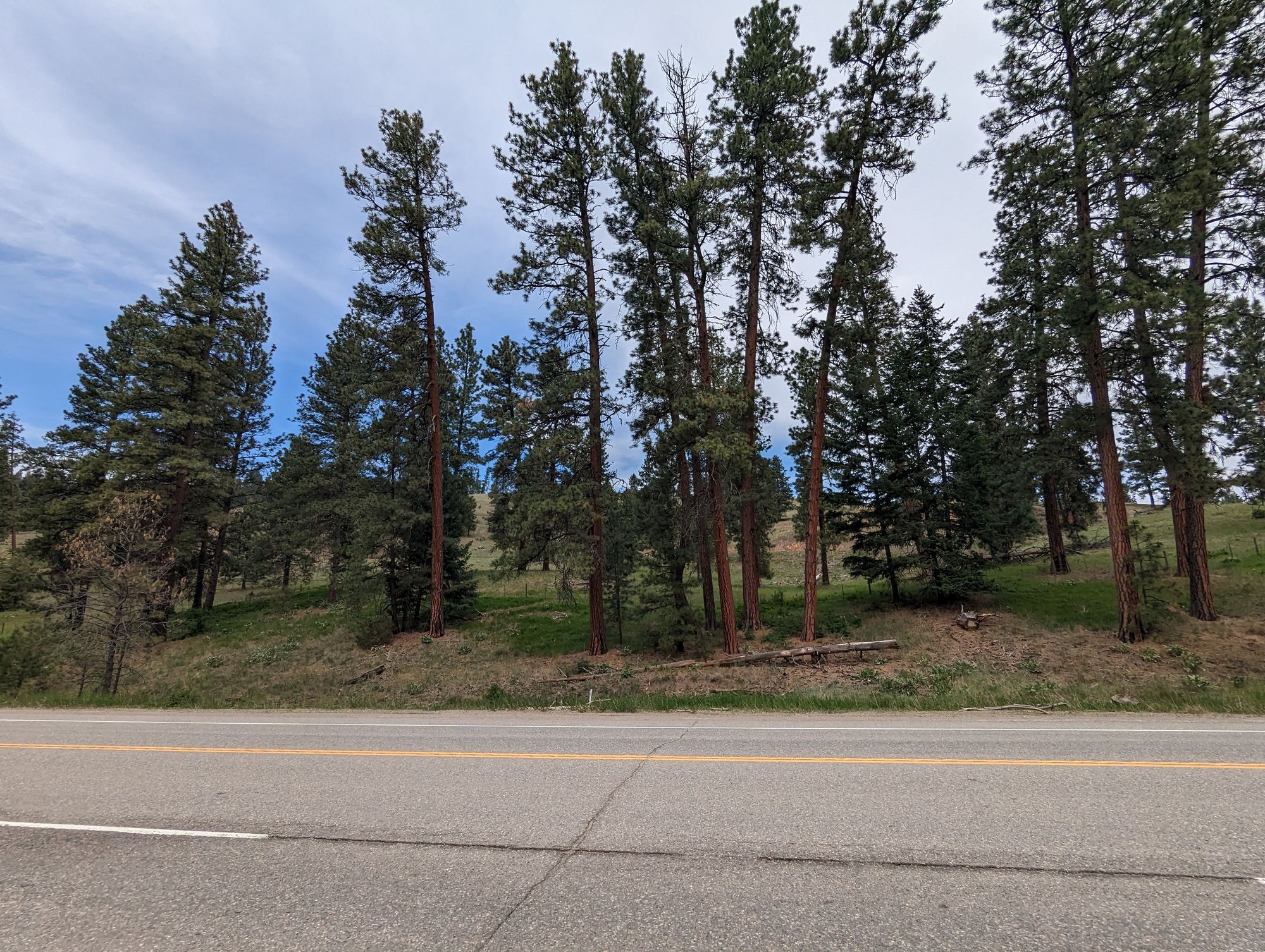
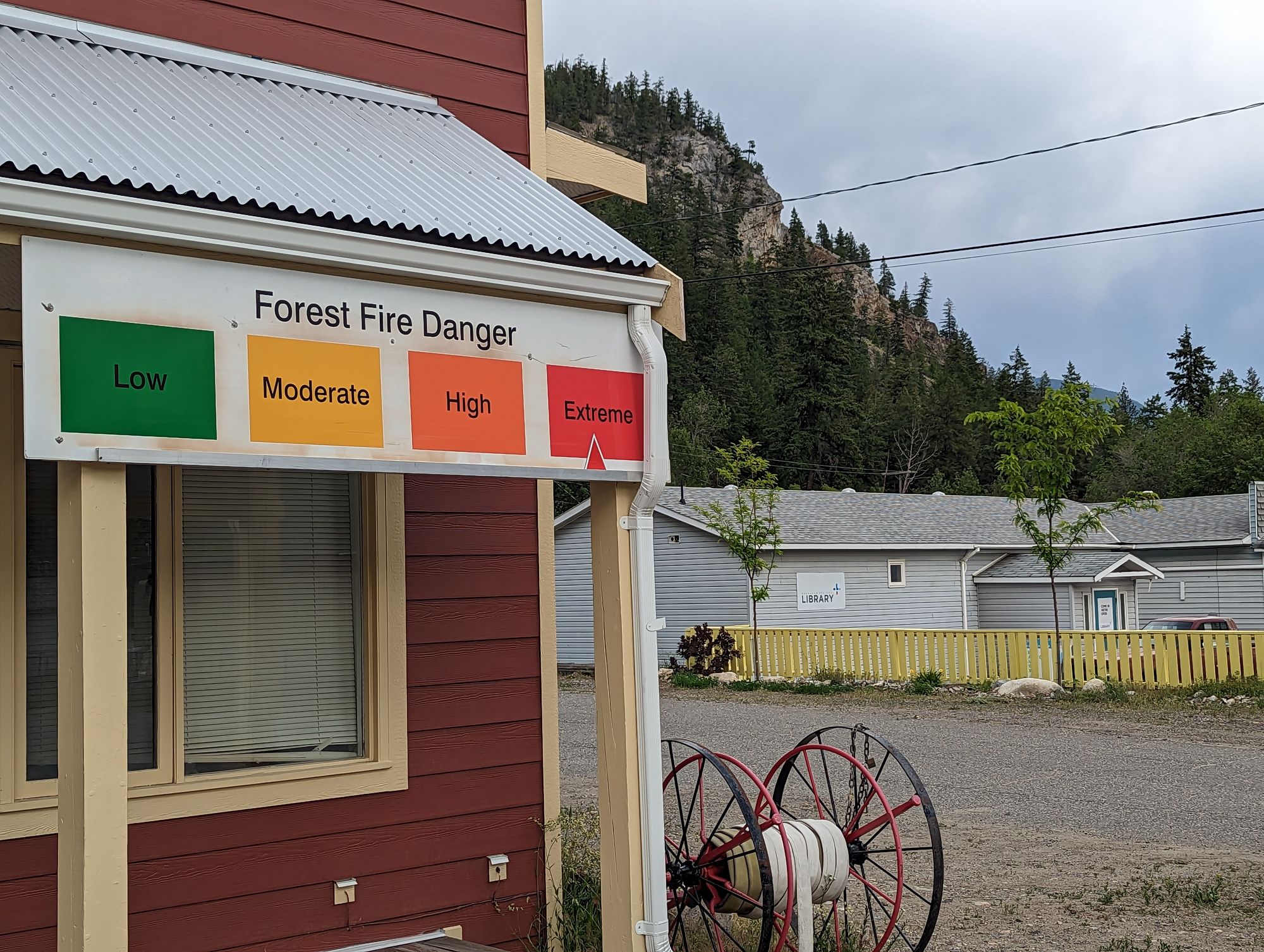
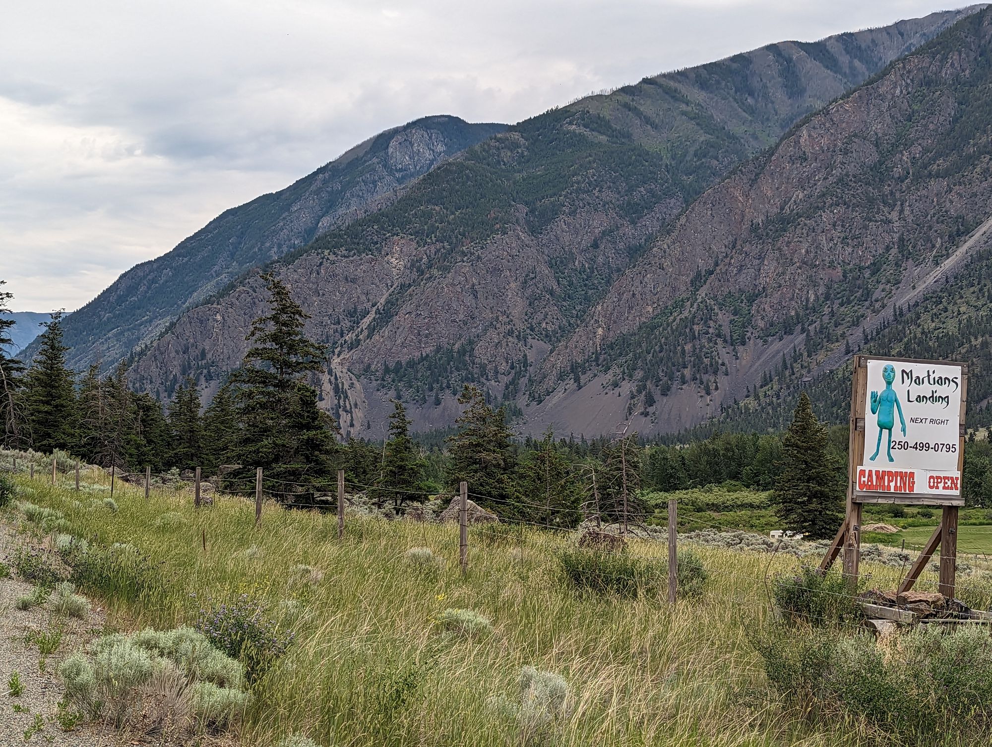
The ride was breathtaking. This area is the Okanagan-Similkameen Valley and it feels like an undiscovered gem sitting between the Fraser Valley and The Okanagan Valley. Some pictures of the day:
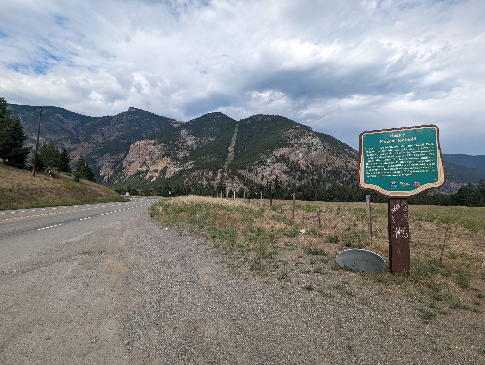
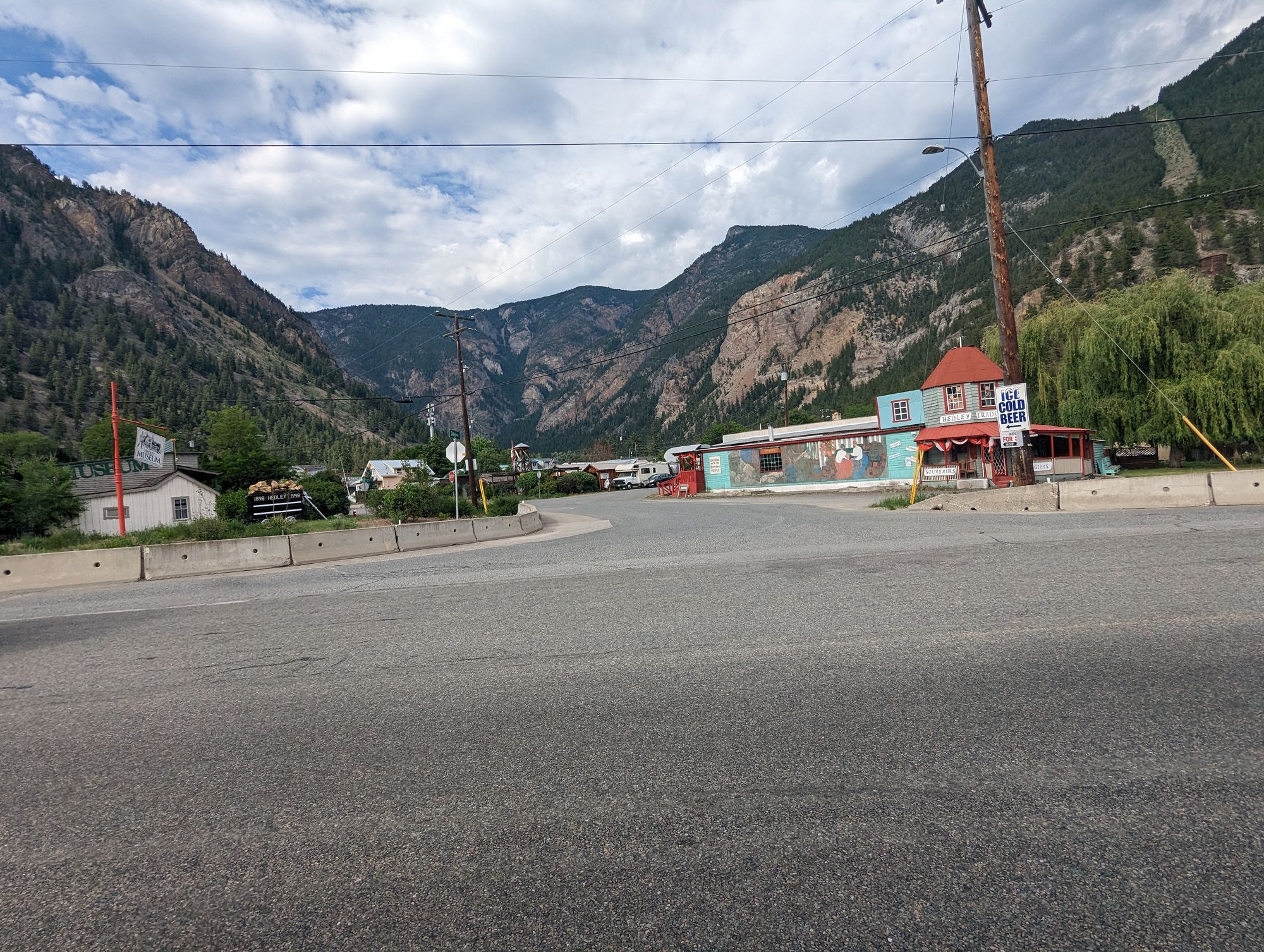
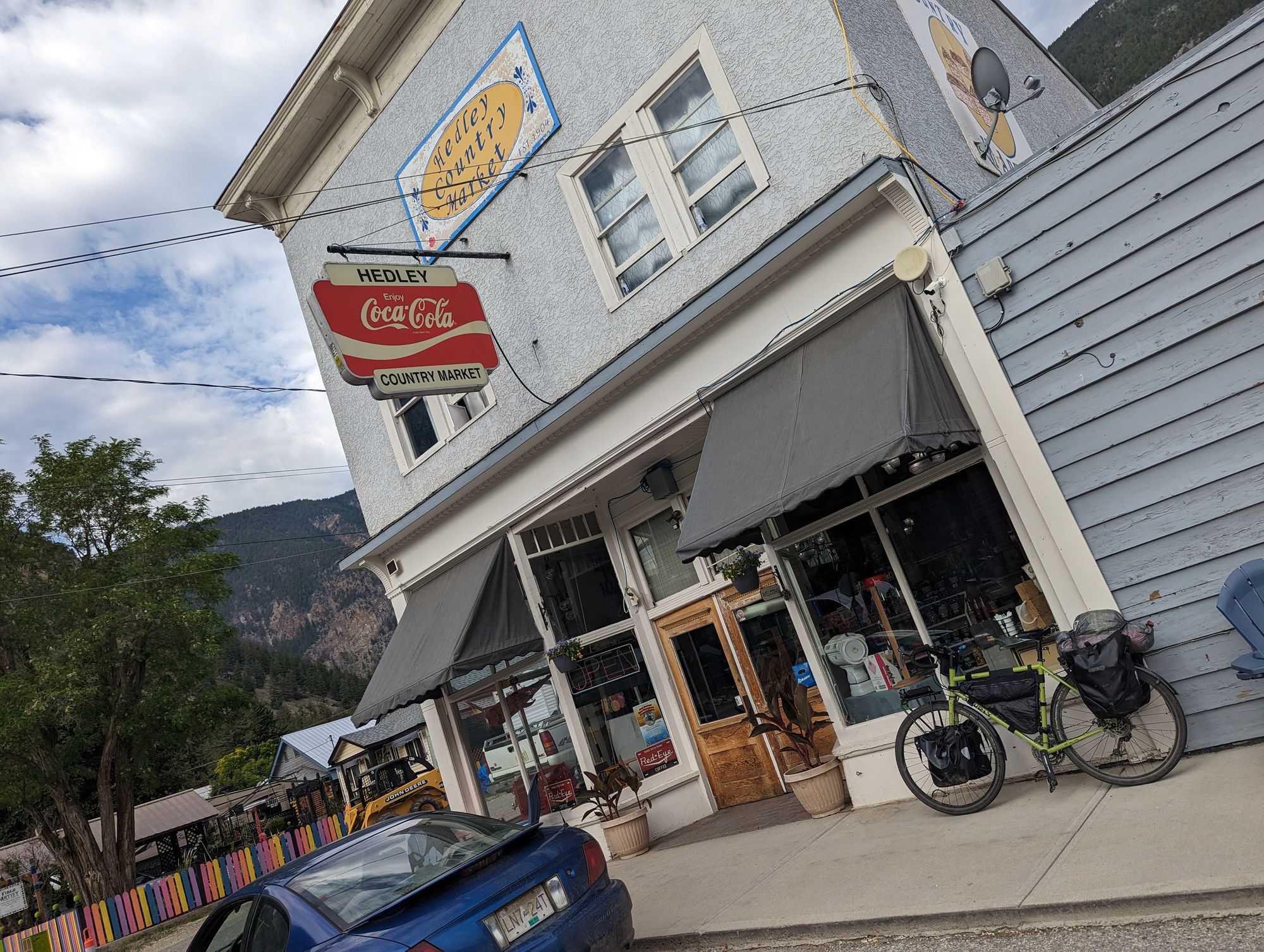
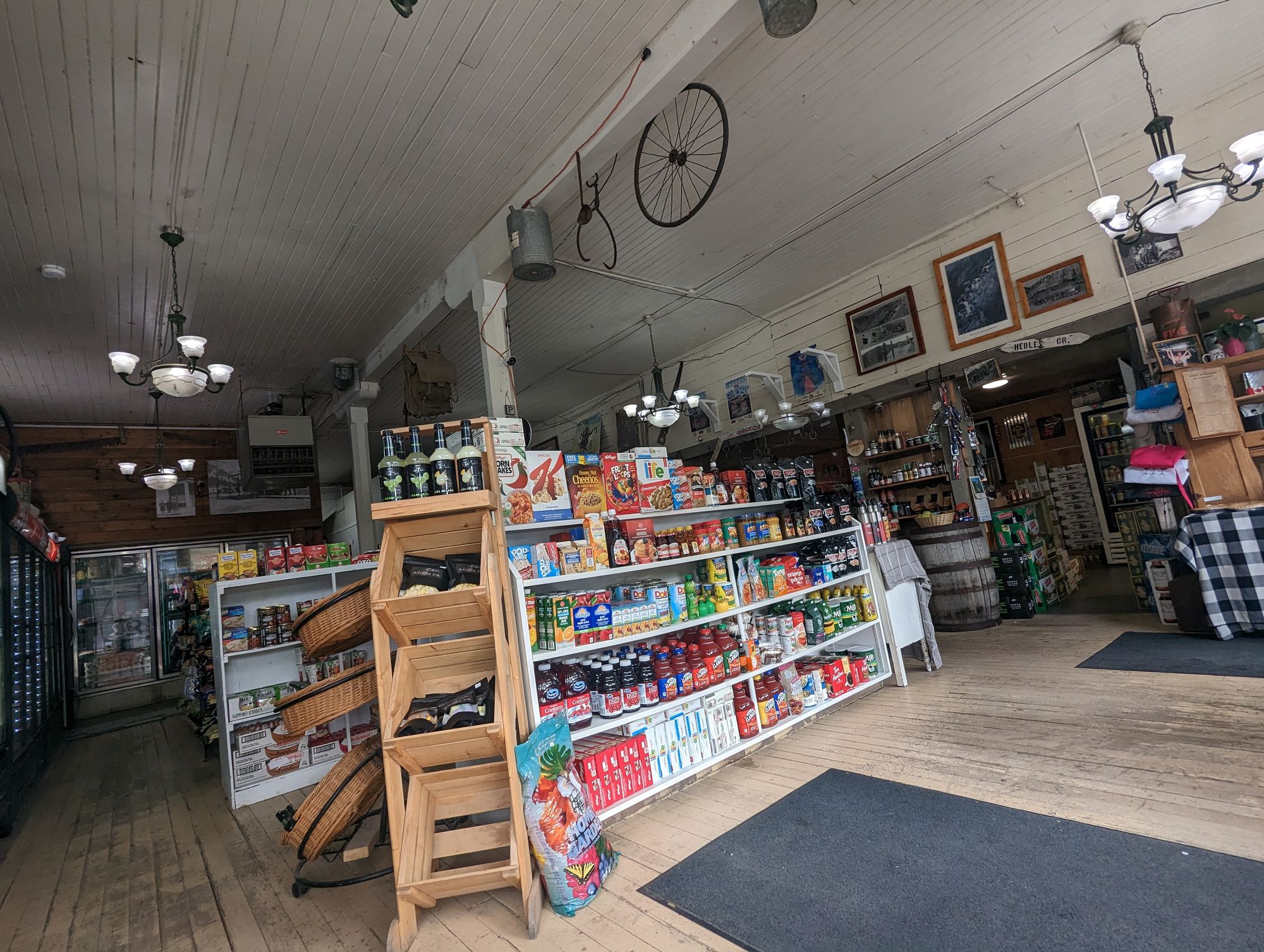
Eventually I reached Hedley, British Columbia. A gold mining town that has long since gone bust, it maintains the feel of a western town of the early 20th century. I found a general store and stopped in to get out of the sun. One iced tea and an ice cream sandwich later and I had cooled somewhat. I chatted with the store owner. They do a CSA and I browsed some of the local produce that was going out.
I continued down the road towards Keremeos. Eventually the valley opened further and further and I began to see orchards and vegetable fields. I was approaching Keremeos which is the start of the fruit growing region of The Okanagan. Again, the mountains to either side of the valley continued to impress.
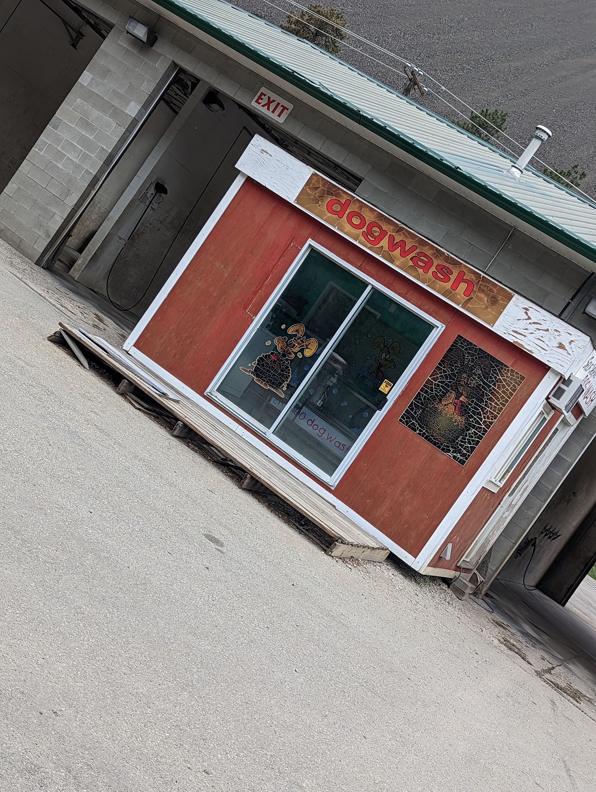
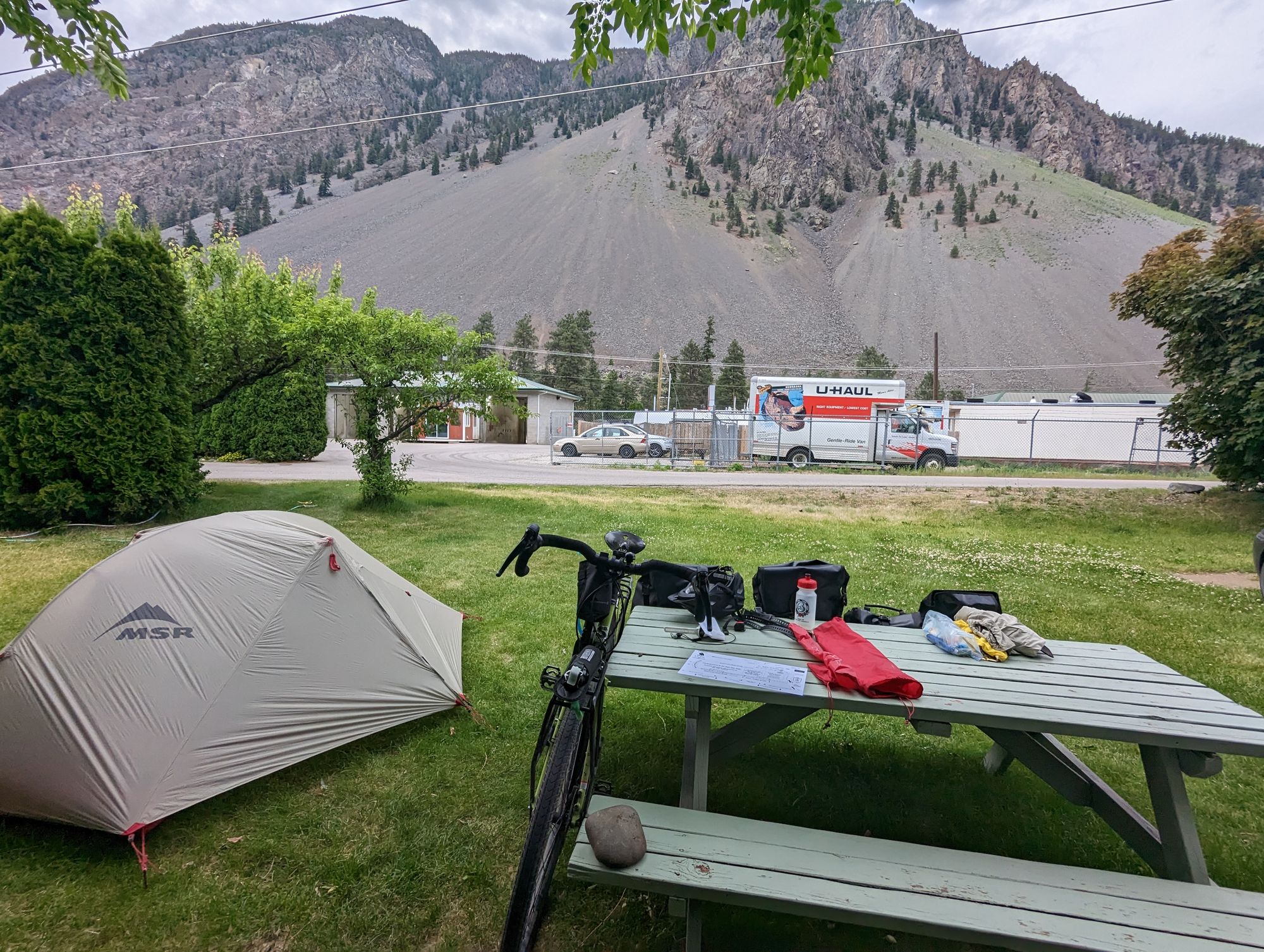
I reached the west side of Keremeos and my campground. It was 7pm and had been 137km, making it my longest day of the entire trip. I setup my tent and stared at the "dogwash" behind the nearby car wash and seriously considered jumping in. Two days with serious climbs at 30-ish degrees left me feeling in desperate need of a shower!
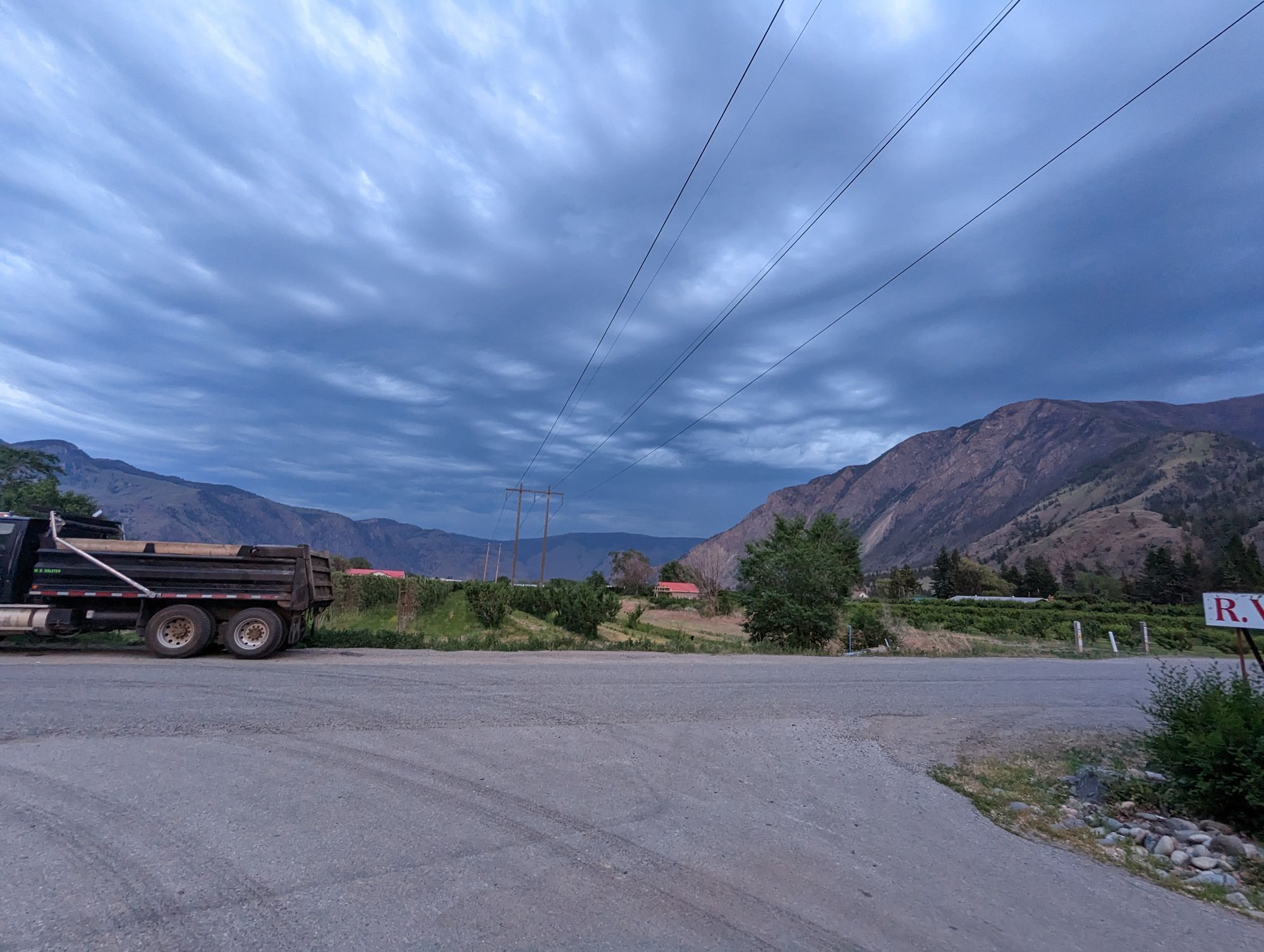
Luckily the campground had showers. After having one I felt human again. I made a dinner of instant mashed potatoes and a can of tuna (I'd bought it almost 1000km again on my first pass through Princeton). The next two days were calling for rain and we could see it blowing up the valley. I snapped a few pictures and then put everything I had under my tent fly as the winds were kicking up.
The winds ended up being wildly intense! The entire town lost power. My tent is low to the ground and built for this, but it till rippled in the gusts. The temperature was still at least 25C however, and I lay in my tent trying to fall asleep as the humidity and temperature refused to let me slumber...while outside the winds threatened to bring down trees.
Eventually I lulled off to sleep....
