Day 46: Canora, SK -> Grandview, MB
Jeremy roasts, starts a new province, and finally sees the thing he was hoping he wouldn't
Date: Friday, June 30, 2023
Start: Canora, SK (Municipal Campground)
End: Grandview, MB (Municipal Campground)
Distance: 161km
I woke up in Canora and the sun was already shinning. I was in store for another hot one. I packed, ate breakfast, and got on the bike. I went to the town hall to pay my $20 camping fee. Their self registration only accepted cash and cheque and I didn't have the correct change and wasn't interested in bilking Canora out of their fee!
My second stop was the town library where I typed up two blog posts, but couldn't connect to the library internet because it was password protected. For this Canora, Saskatchewan is now on my Nixon List. This meant I couldn't actually post the content, but I was happy to have at least drafted the posts (that's a bit of a joke, these are all first drafts!) and got the info down before the memories faded!
At about 10:30am I packed up my laptop and started out of town. After doing 200km the day before I was feeling ambitious and confident and so my long goal for the day was Dauphin, MB. This would have meant 212km total for the day. Which was utterly insane. Especially leaving at 10:30 on a day that was already hot. But if the day before had been any indication it might be possible! I set off with determination.
The first issue I faced was that my tailwind of the day before was gone. What it was replaced with was a slight headwind. I was struggling to maintain 23km/h, whereas 25km/h had been easy the day before. I slowed down to 20 and decided to keep on.
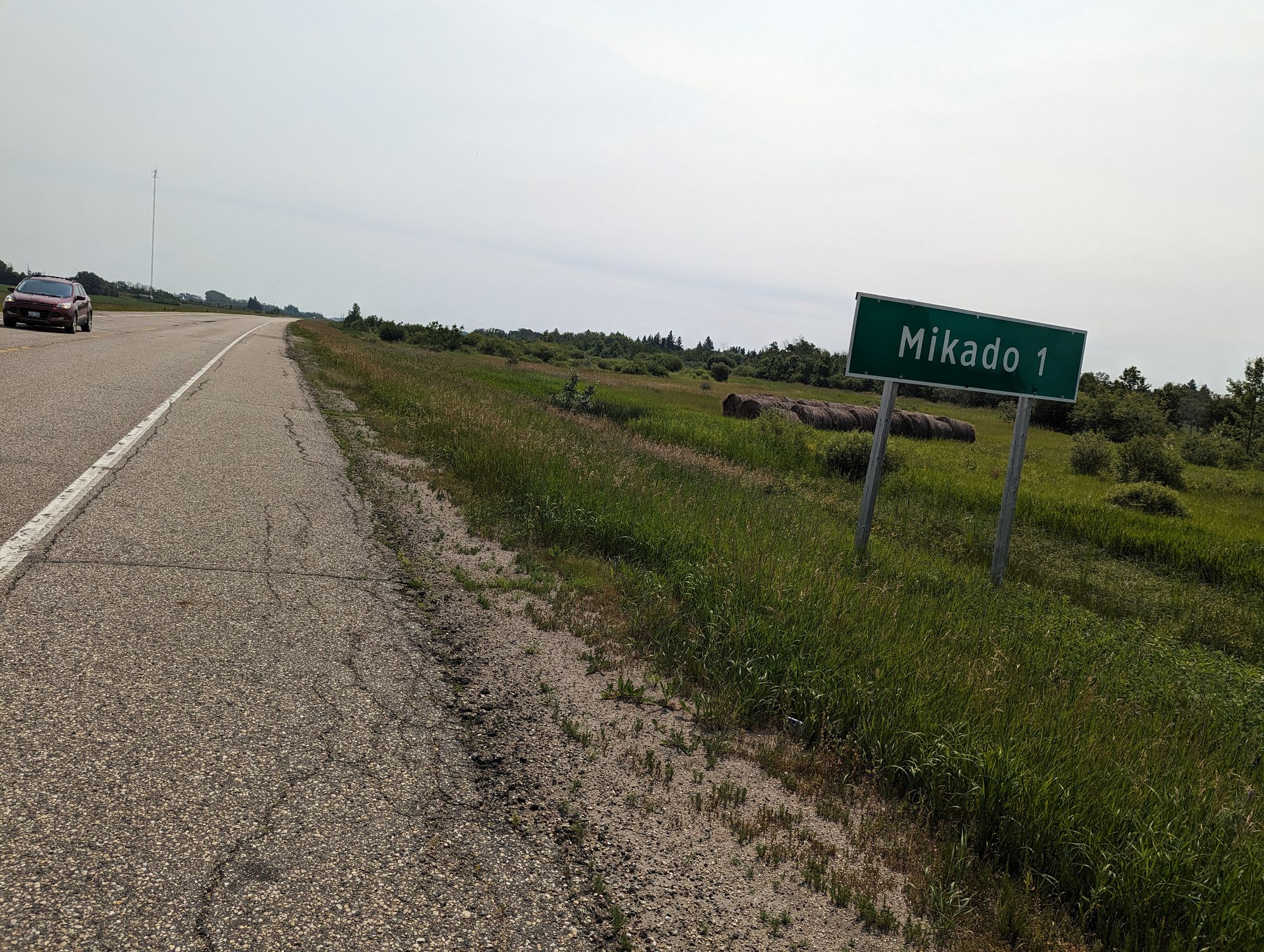
The first town I passed was Mikado, Saskatchewan. A strange name for a town, but revealing quite a bit of history. Turns out it was indeed named for the Emperor of Japan in the early 1900s (likely 1905) because of the Russo-Japanese War. Britain was allied with Japan and there was a lot of pro-Japanese sentiment throughout Canada. Mikado and other communities like Kuroki and Togo (I went through them all) were named this way! As I passed the town I put on a little ditty from Gilbert and Sullivan. My apologies to the people of Mikado, but I couldn't help but belt it out as I rode past!
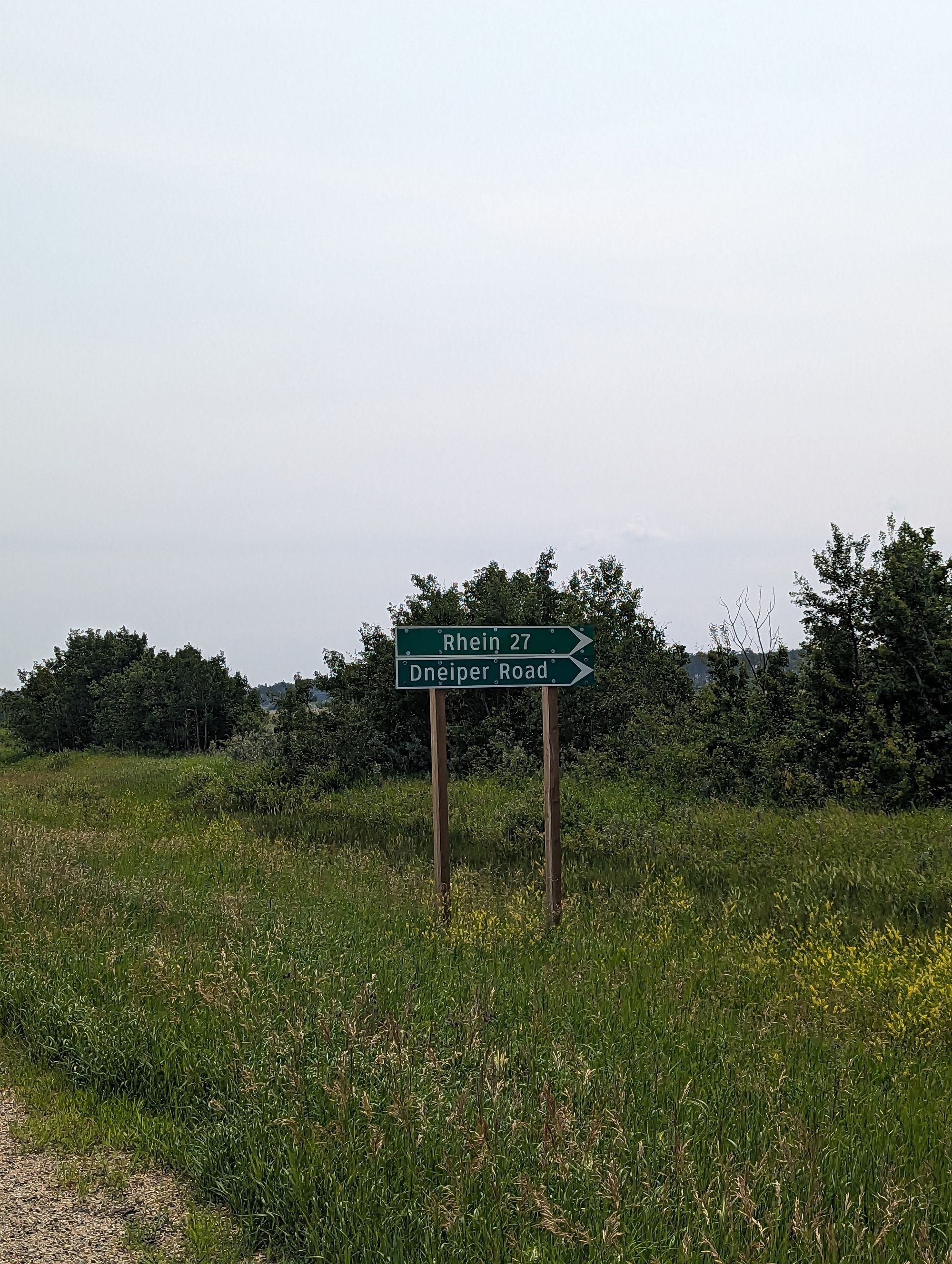
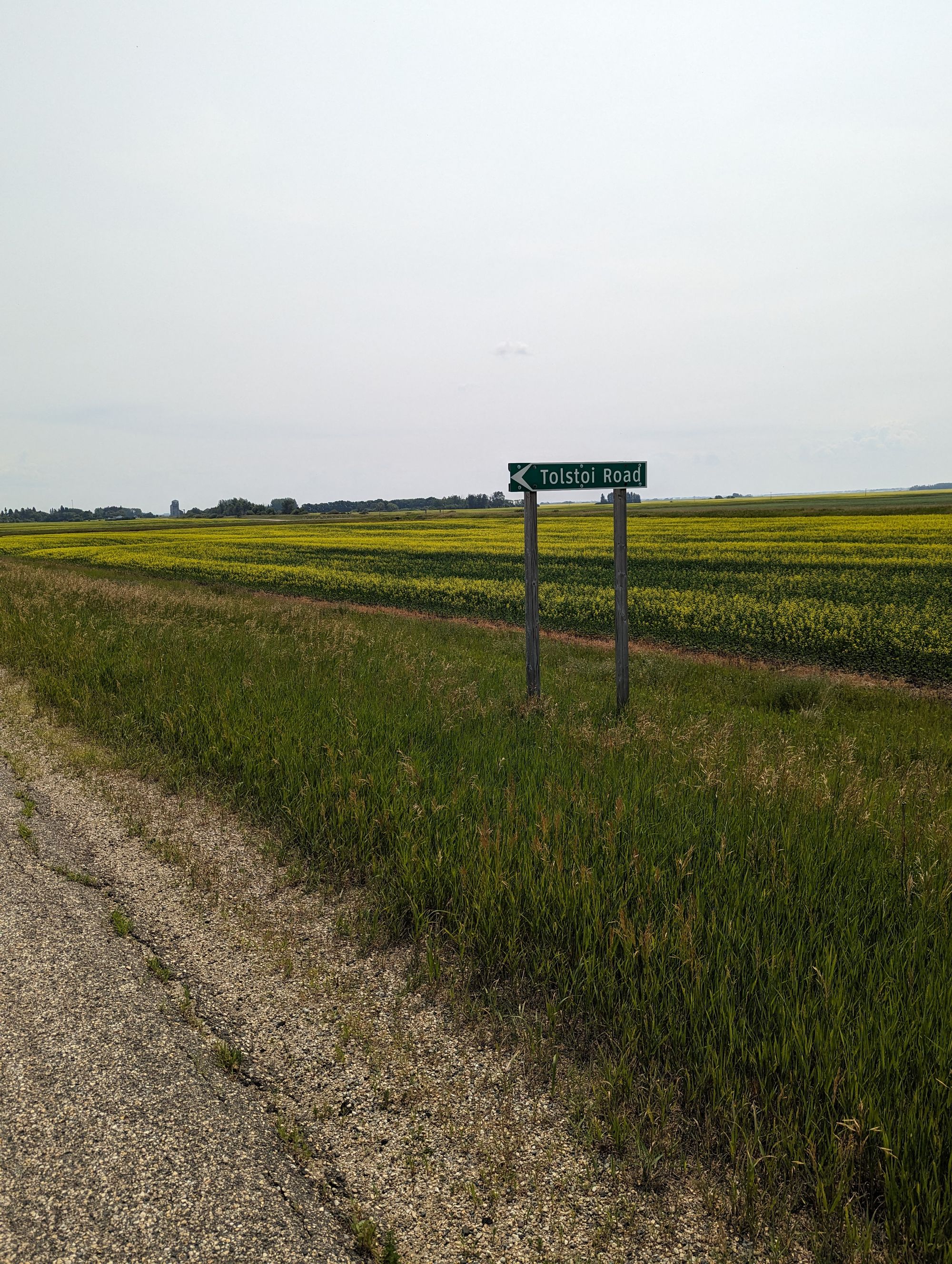
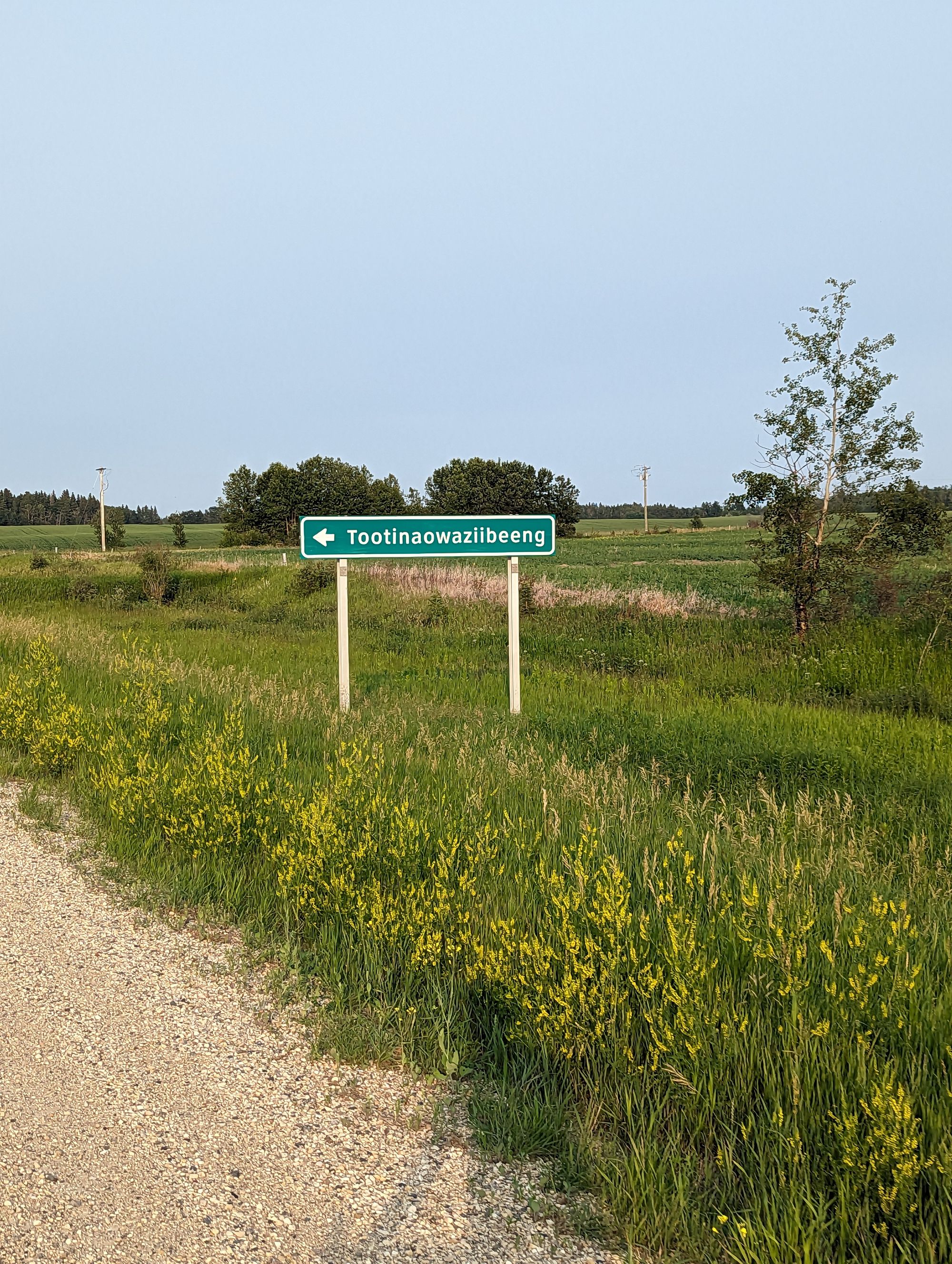
This area of Eastern Saskatchewan is steeped in place names that betray the origins of it's original inhabitants. More examples include:
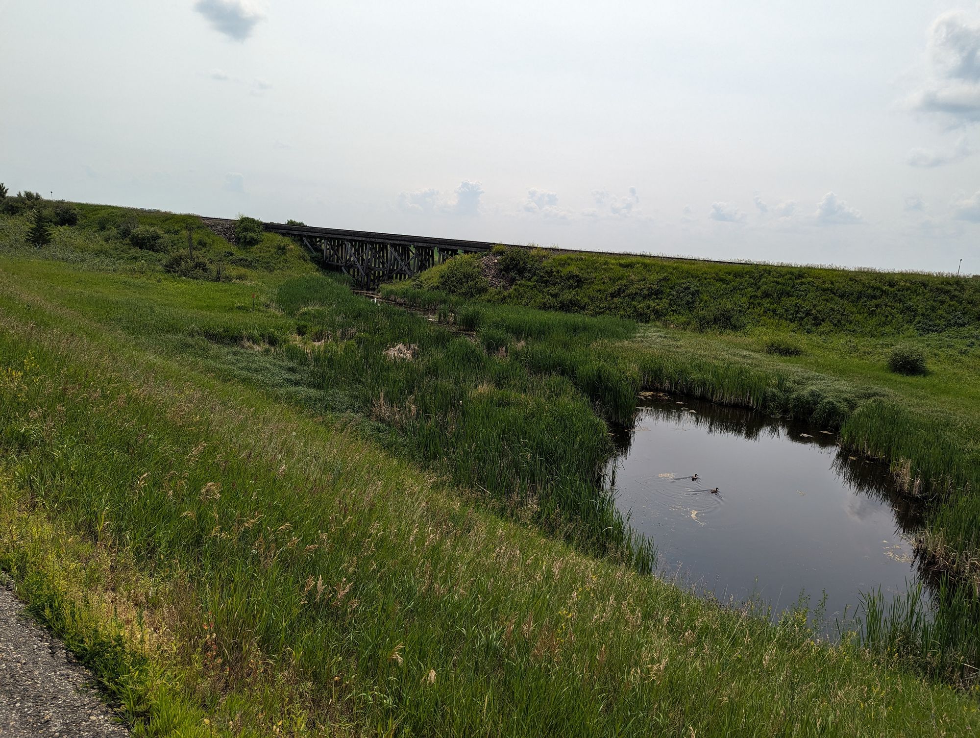
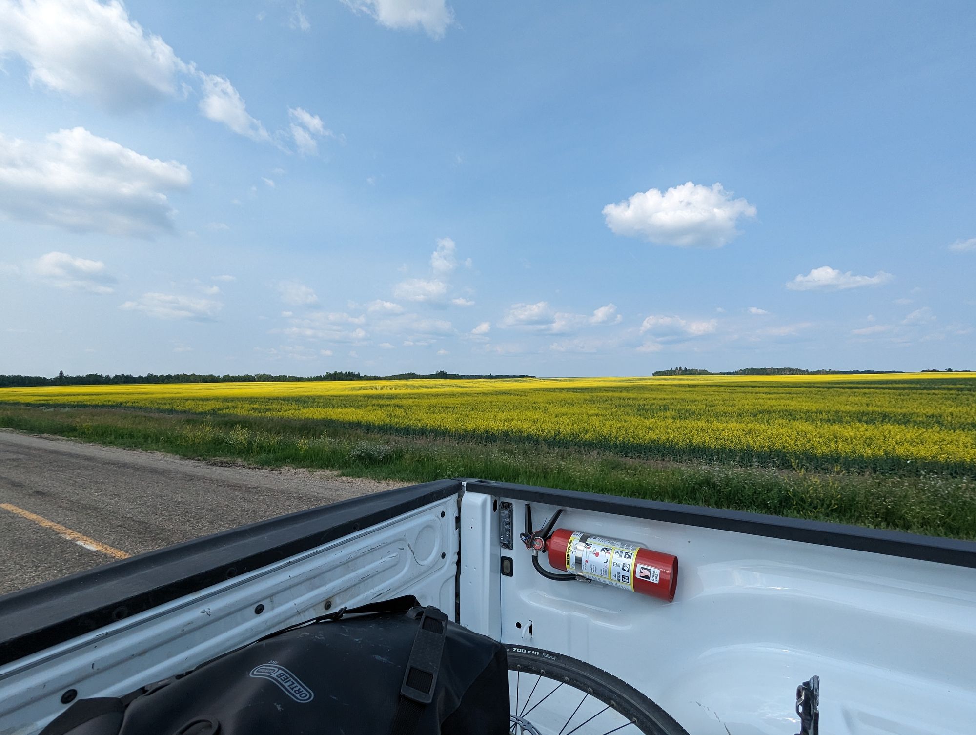
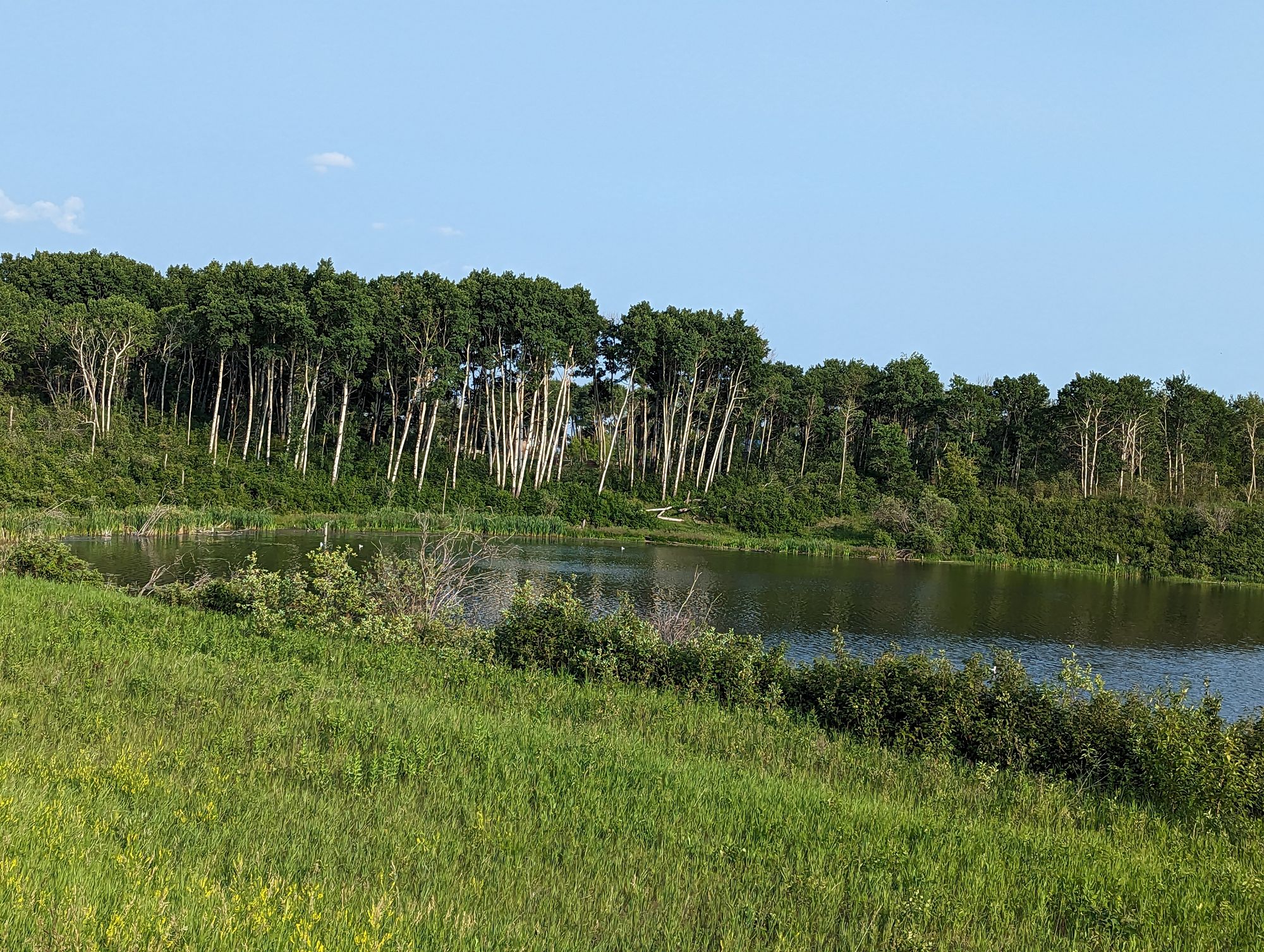
You might be able to tell from the photos, but the trees have returned. And lots of water. There was still quite a bit of open farmland, but The Prairies were definitely giving way to the boreal forests of the Canadian Shield. The humidity was also rising...
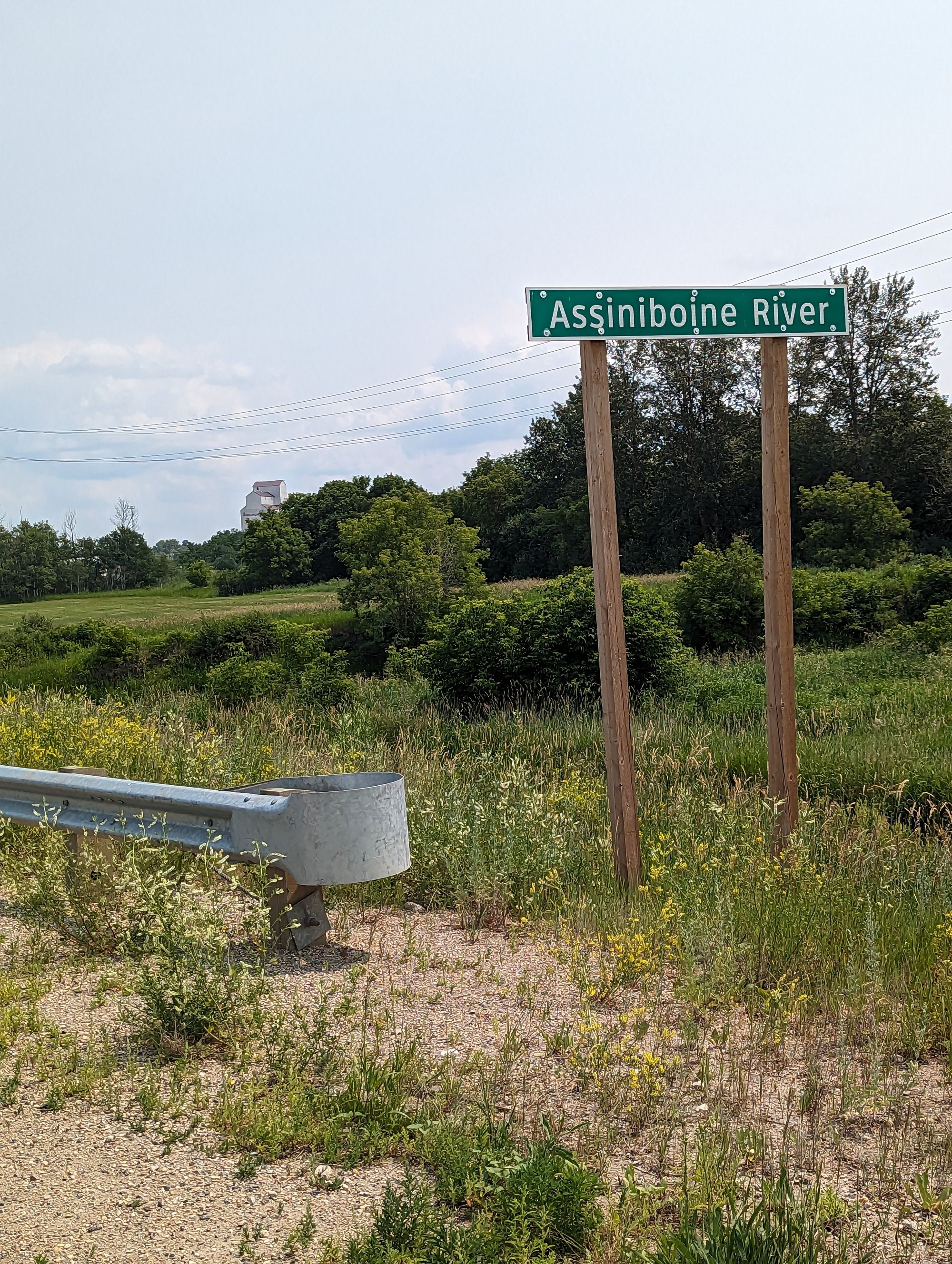
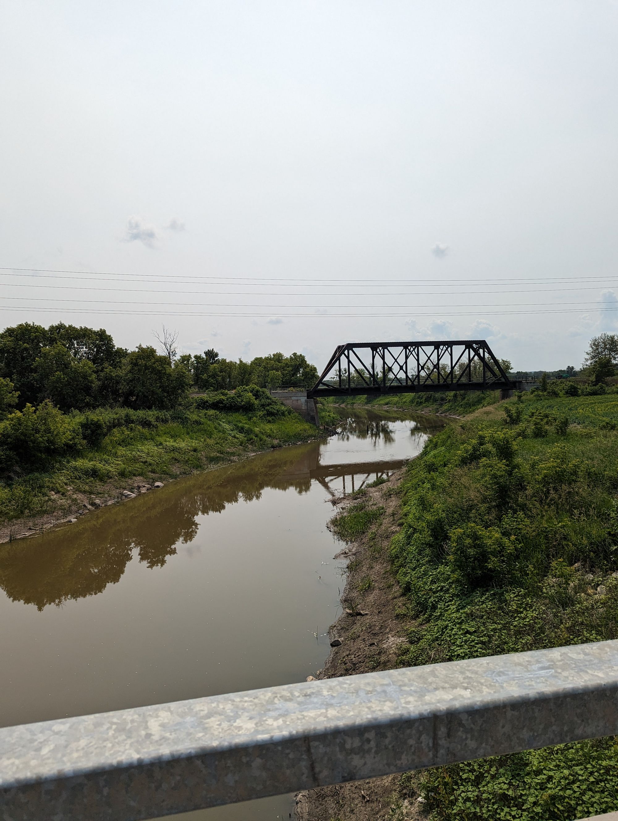
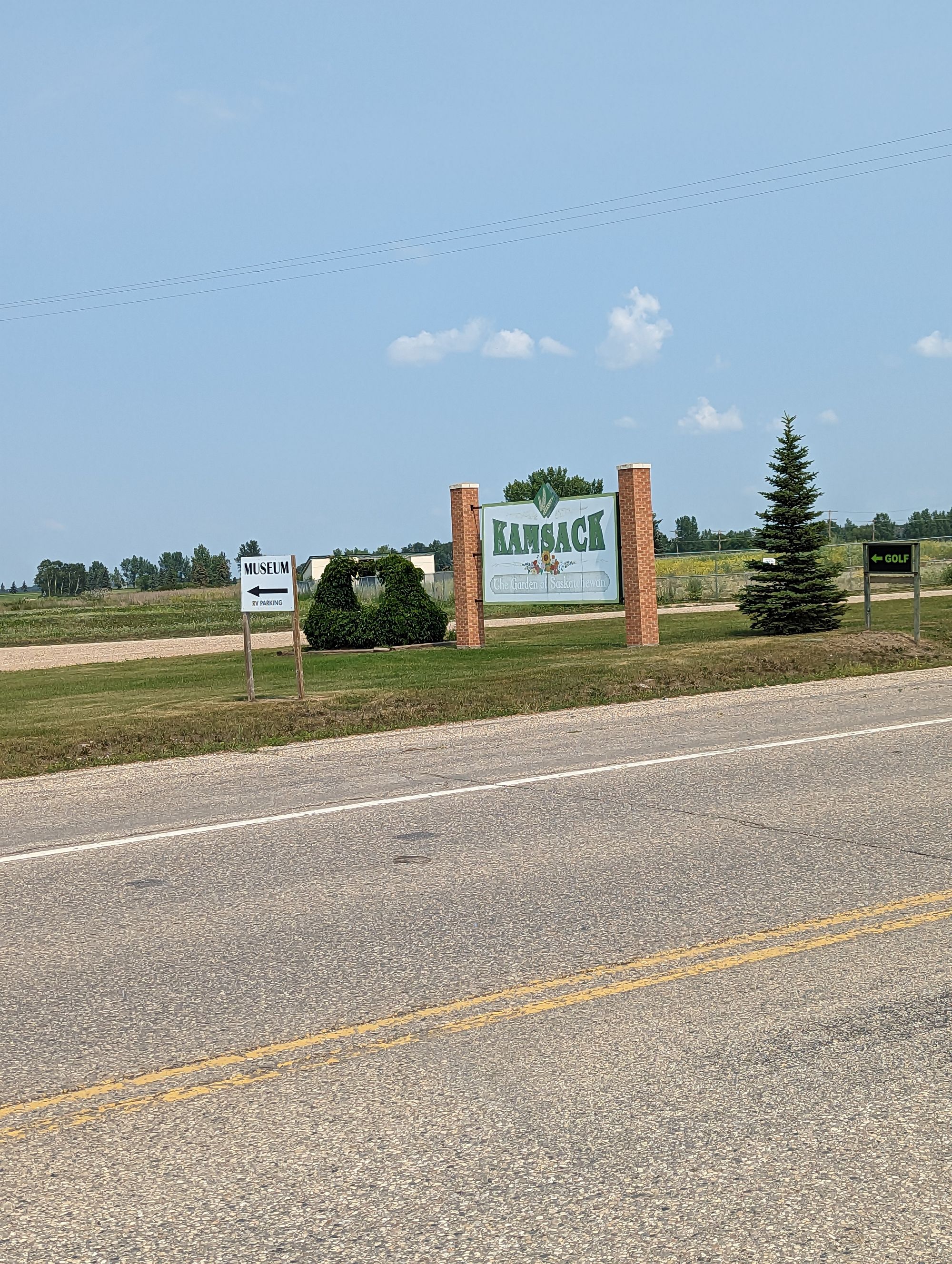
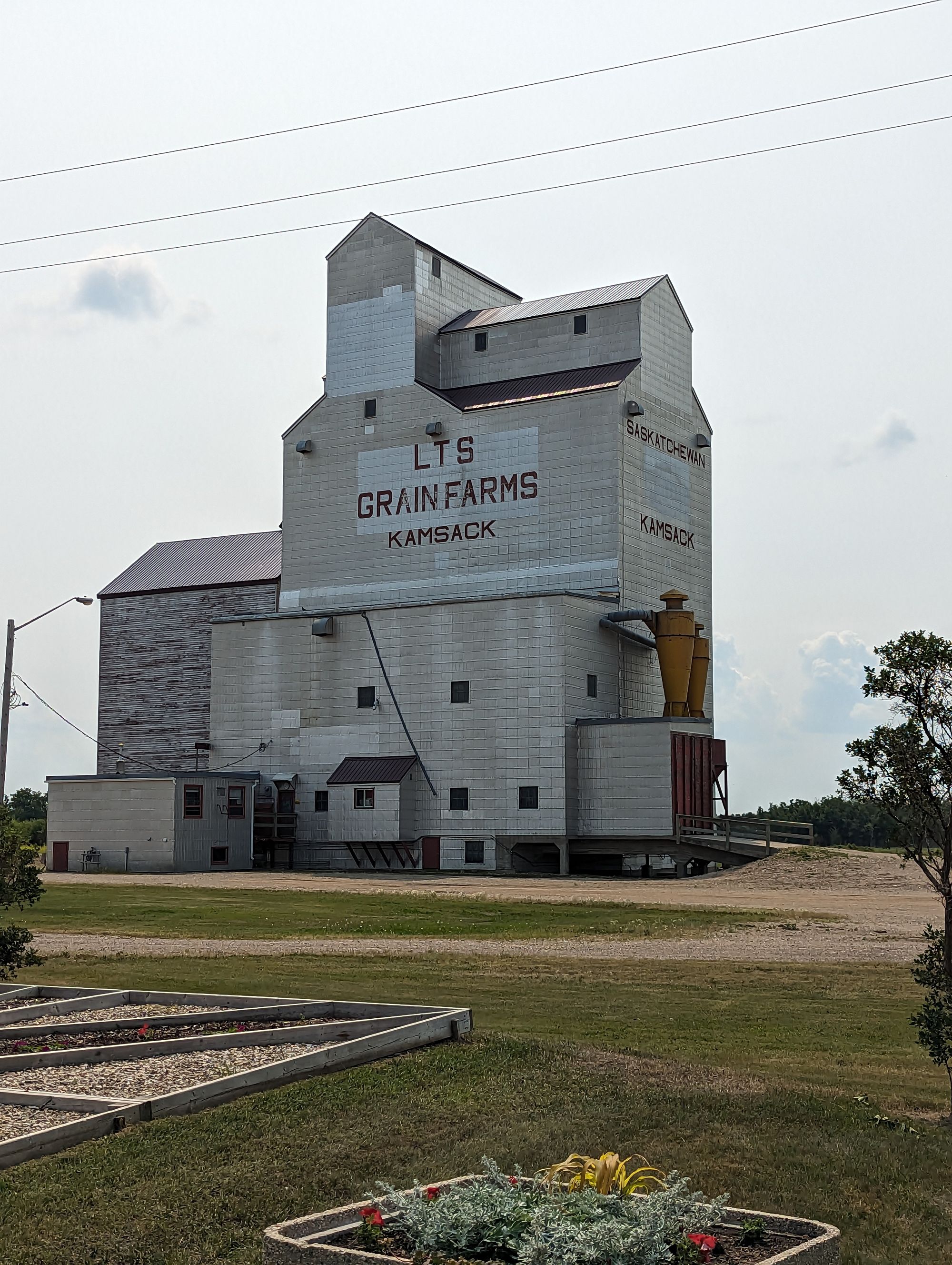
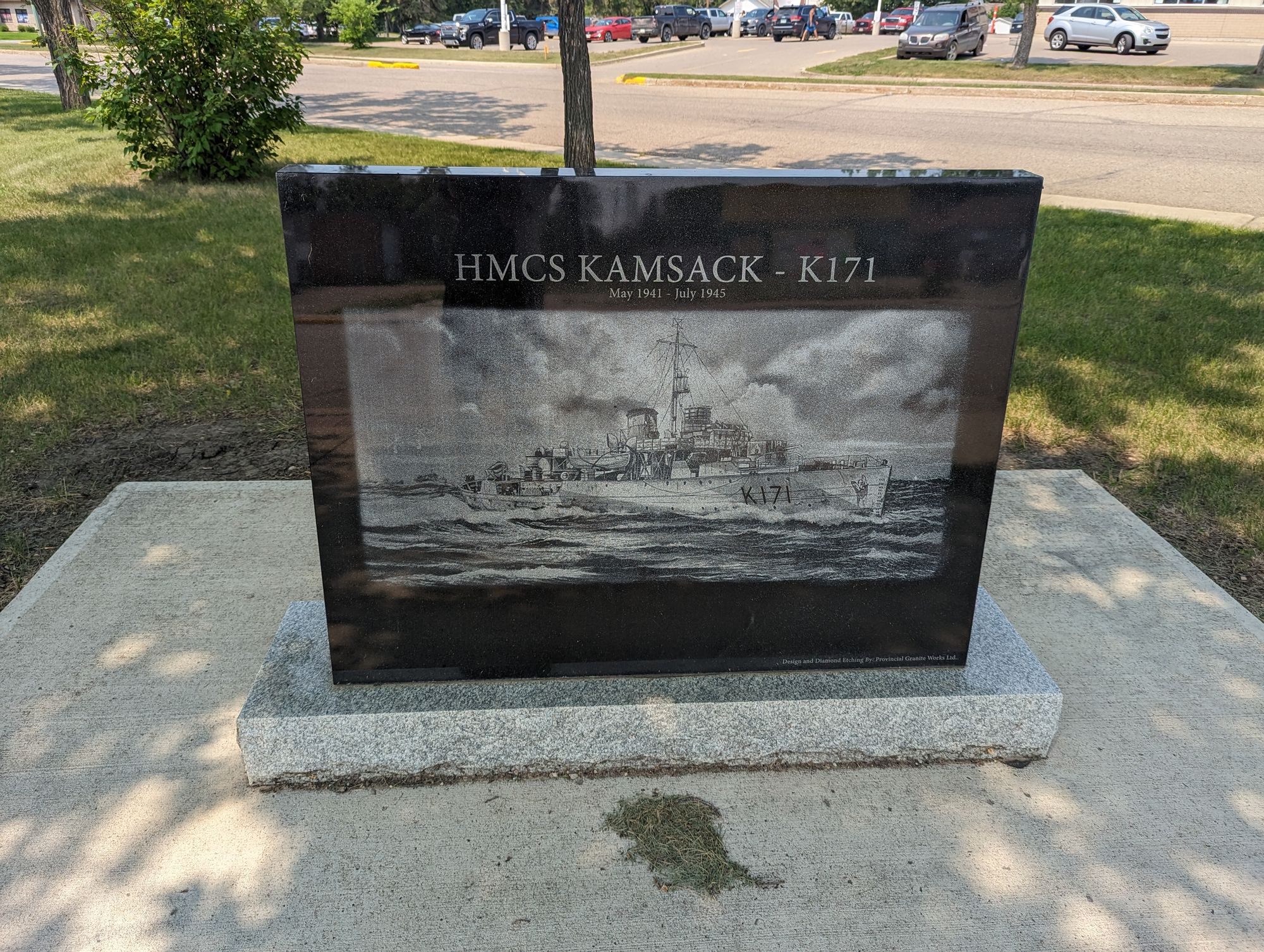
My hopes of 200km or more this day were dashed as I reached Kamsack, Saskatchewan. I could see a deep depression on the horizon that signaled some kind of hill. Sure enough, I dropped down into the town knowing I'd have to pay for it later. The depression looks to have been caused by the Assiniboine River, a mighty regional river for this area of Manitoba known for flooding Winnipeg. But in Kamsack it's still nascent and yet to collect the water that will cause it to it's powerful reputation.
Kamsack was a tired looking town. It was just after noon, but I went into the downtown which had many shuttered businesses. I tried to find somewhere to grab a drink and was having difficulty of it. I stopped to check my phone and chatted with Brandt about the trip. He offered me money to help with the journey but I declined. I wasn't hard up, but I thanked him for his generosity. There may come a point down the road where I'll need a Brandt, but this day wasn't it.
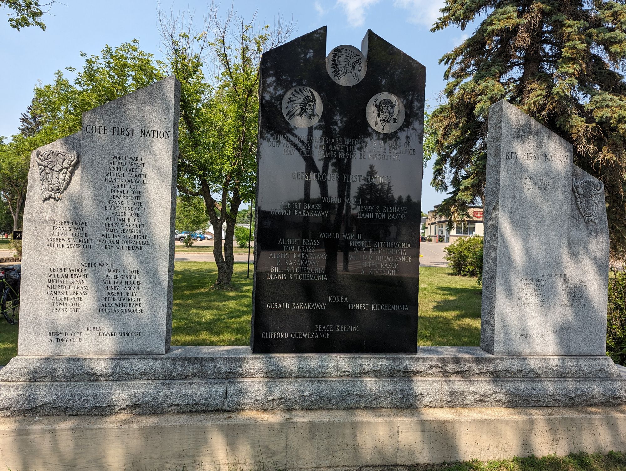
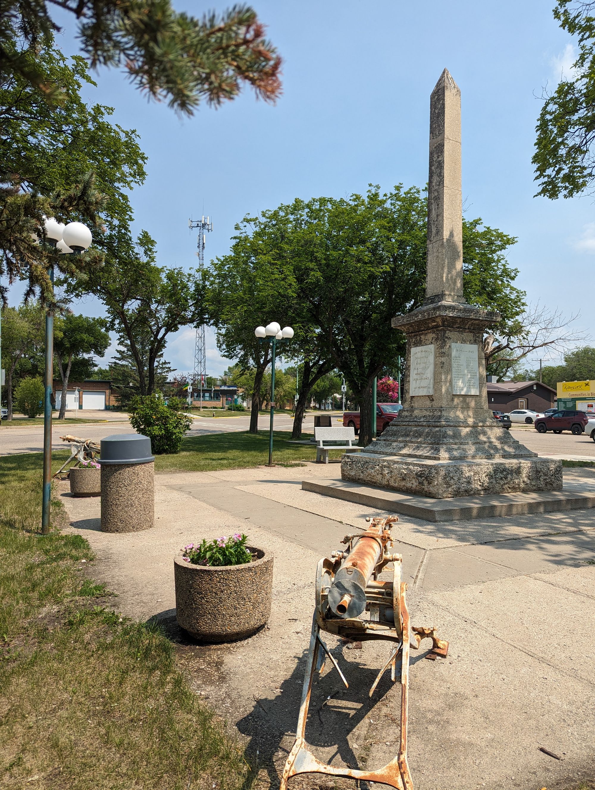
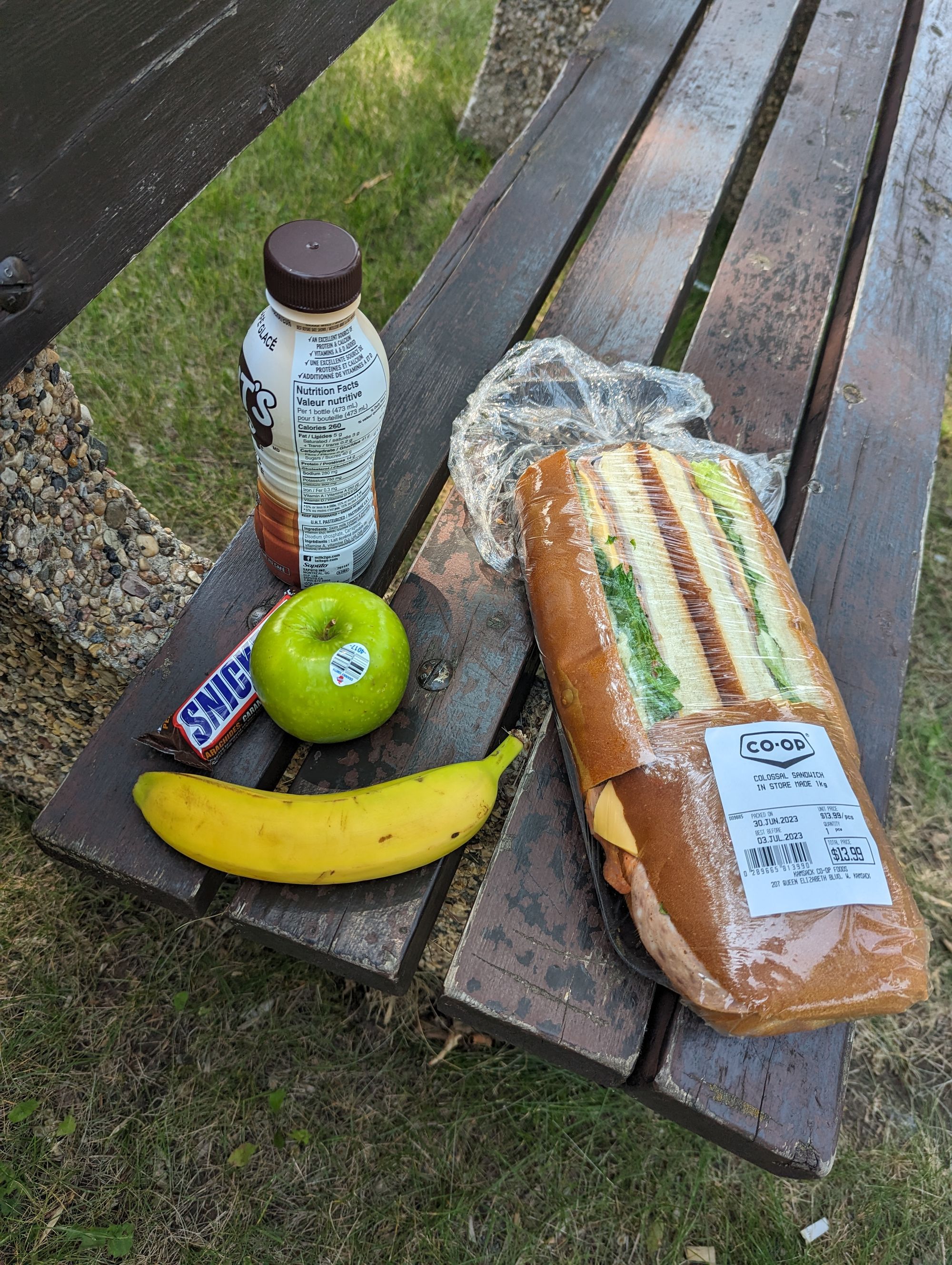
I eventually found the Co-Op grocery store and went in to grab some food. The air conditioning alone was worth it. I grabbed some fruit, a snickers, a giant sandwich, and chocolate milk, and left to find a park bench. I found it just outside near the war memorial, which I checked out and took pictures of. It was one of the larger memorials I've seen for a town the size of Kamsack.
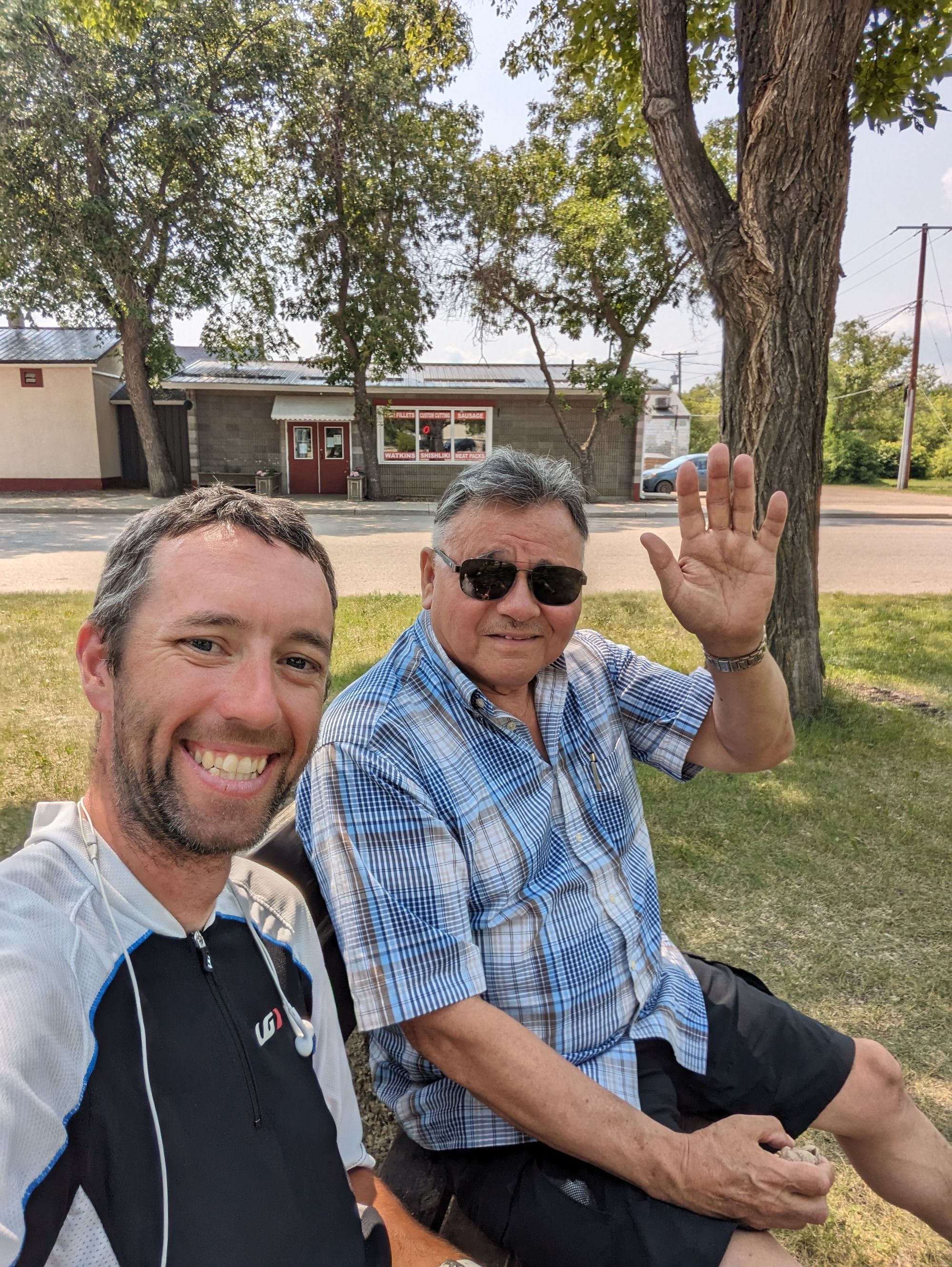
While sitting and eating I was joined by Ron who was passing through town and had stopped for an ice cream. He sat and we listened to me talk about my trip and I asked about his life. He lives in Regina but was back here to help his brother do maintenance on a local cemetery. He was originally from Kamsack and still comes back at least once a year. He's a Community Faith Support Worker and took my name down to keep me in his prayers. I thanked him for that, and we shook hands and parted ways.
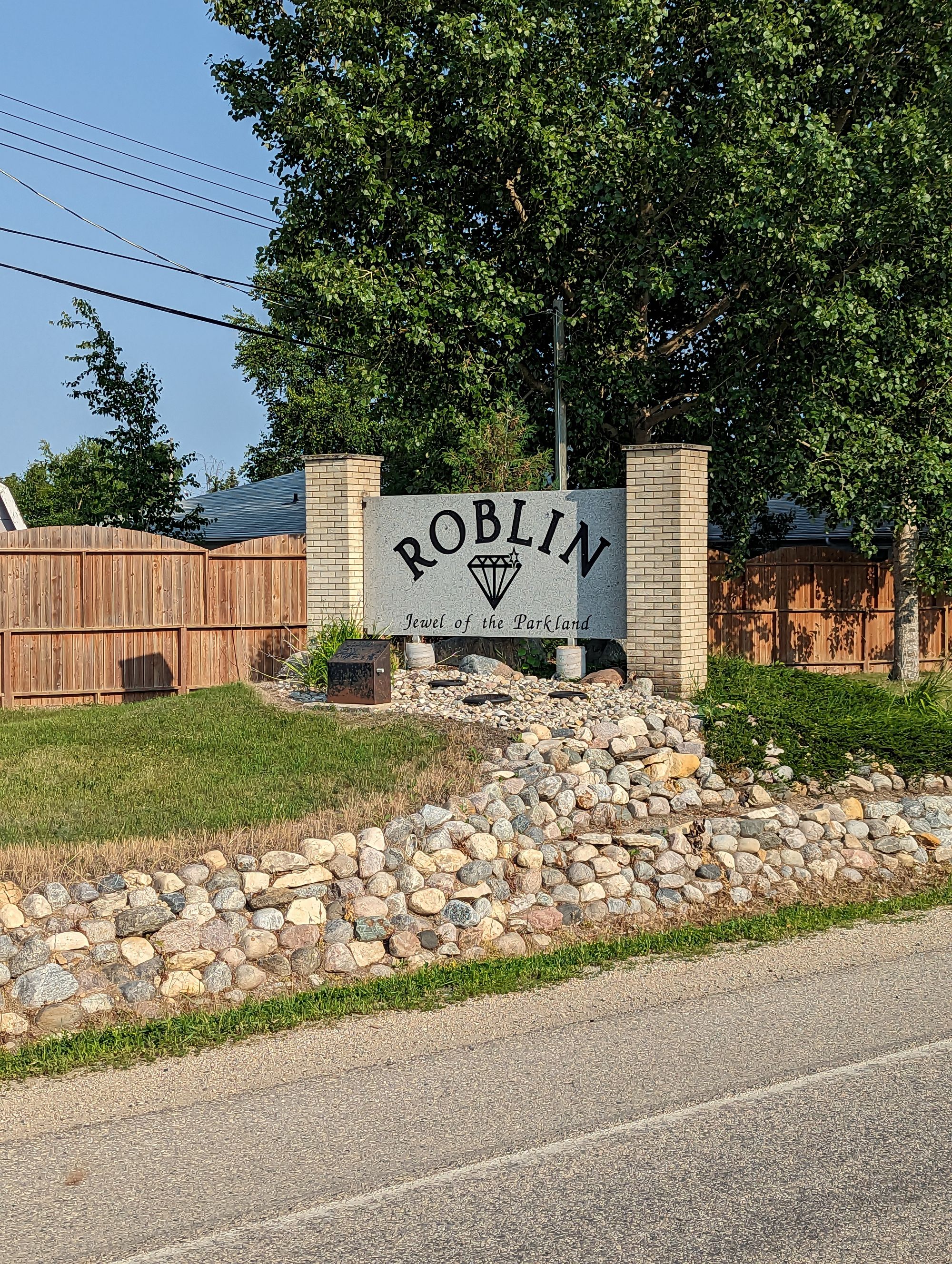
It was now almost 1:30pm and I had 160km if I wanted to make Dauphin. It wasn't looking good. I decided to get to at least Roblin, MB and make a decision from there.
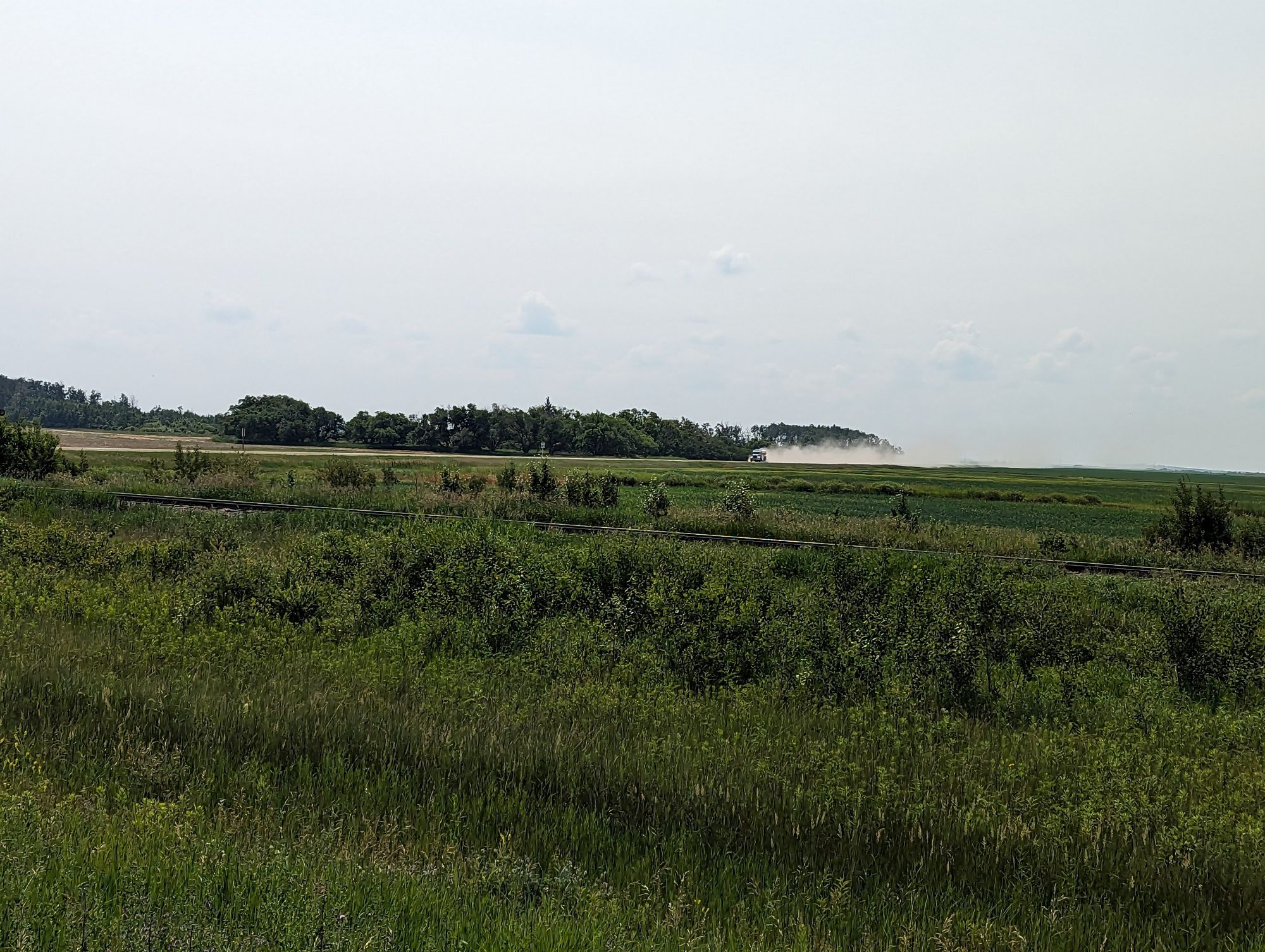
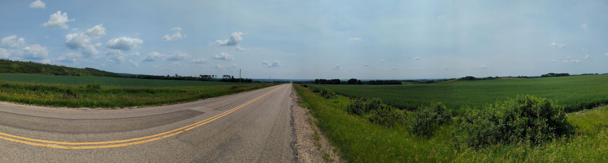
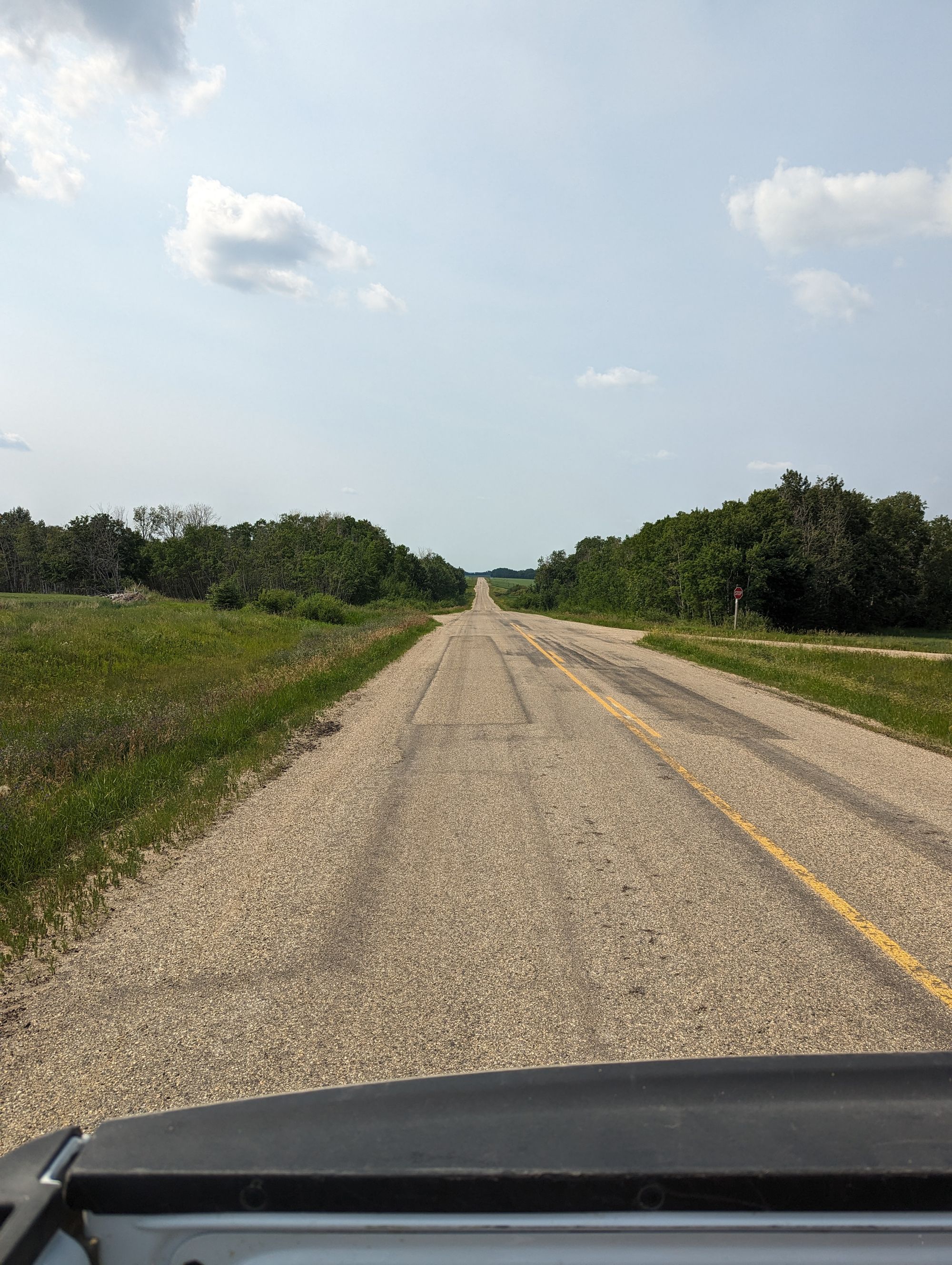
I set off out of town and climbed a hill. I immediately knew that 160km was not going to happen. The heat, the humidity, and the hills (what I now call "the three H's") were going to make sure that didn't happen! At some point I turned south, keeping with Highway 5 but doing in a new direction! I was finally going to drop south! The road went up and down through farmland and I snapped a panorama of the view hoping to give you a taste of it.
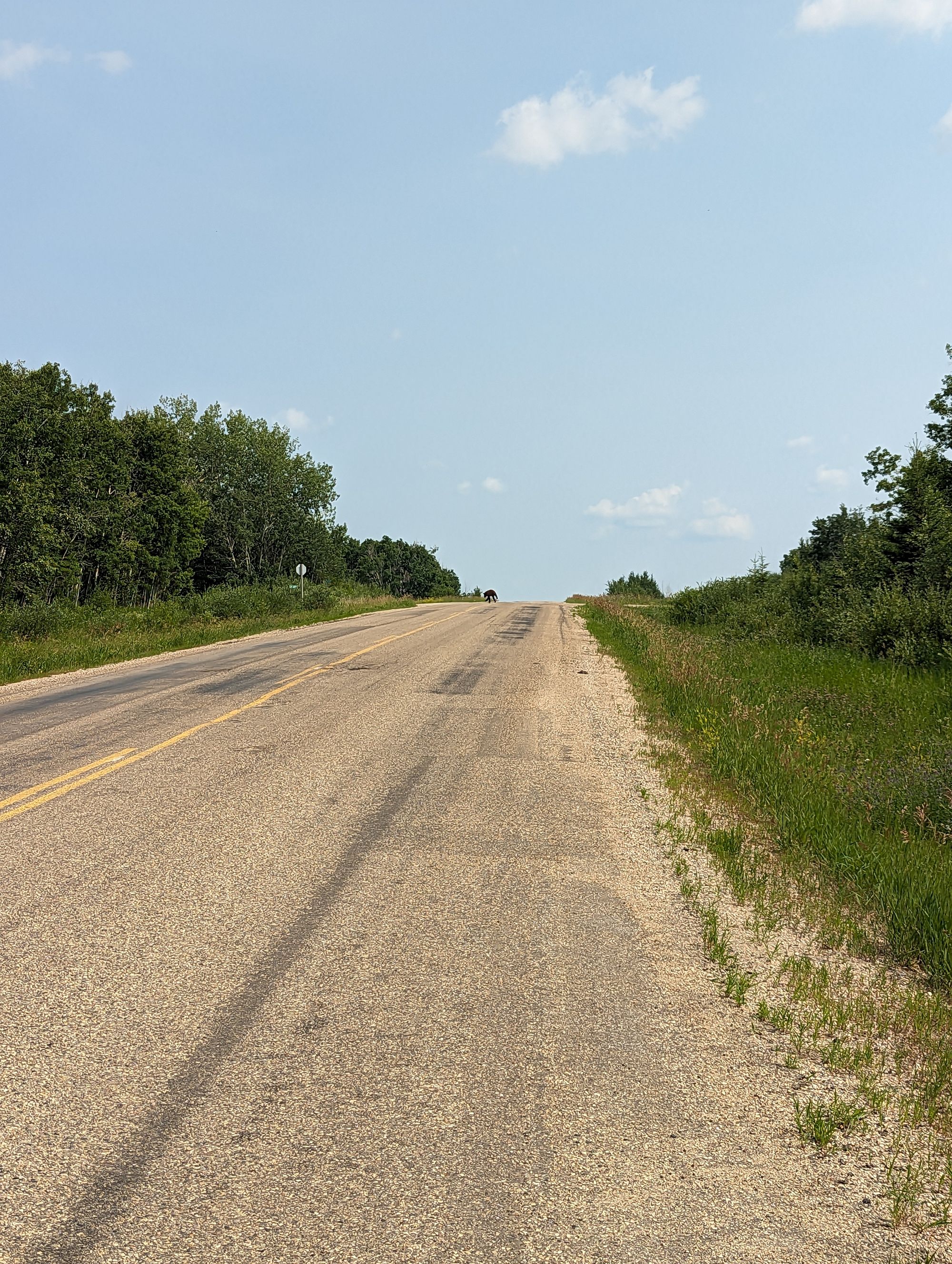
I passed Runnymede, MB (which didn't have any identifiable town). About 5km out of Runnymede I was climbing a hill when something black scooted across the road about .75km ahead of me. It shocked me out of my meditative biking state and I immediately stopped, not sure what it might have been. Then another one came out to the middle of the road and looked back at me.
It was a bear.
It couldn't have been anymore than a year old, and it was the second of two. I immediately tensed up. There was likely a mother bear nearby, and maybe it crossed before I saw it. Or maybe it didn't. And my bear spray was still in my pannier bags. I hadn't thought I'd need it till closer to Winnipeg!
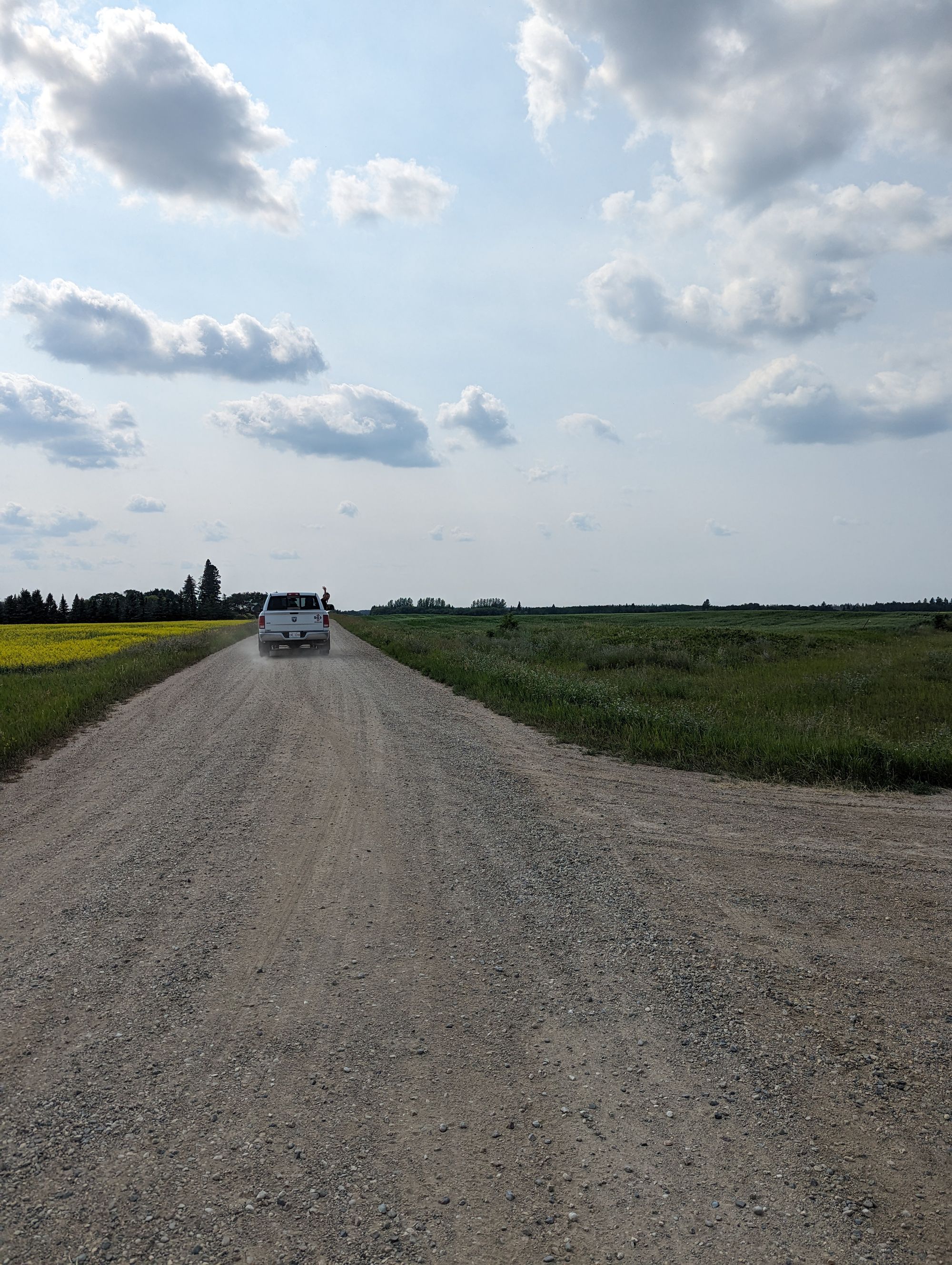
Luckily, from behind me came a white pickup truck and it stopped beside me. That's how I met John and Aye (I apologize I might have that wrong or the spelling might be wrong!). They had both - thankfully - seen the bears cross and I think sensed my hesitation to keep going without knowing where the mother was. John offered me a ride, and I accepted! We put my bike in the bed of the pickup and they gave me ride for a few kilometers to just outside of Togo. We unloaded the bike, traded info quickly, and I thanked them as they drove off. I can't thank them enough!
I immediately dug my bear spray out of the panniers and put it back on the front of my bike! There it will stay till Guelph, Ontario!
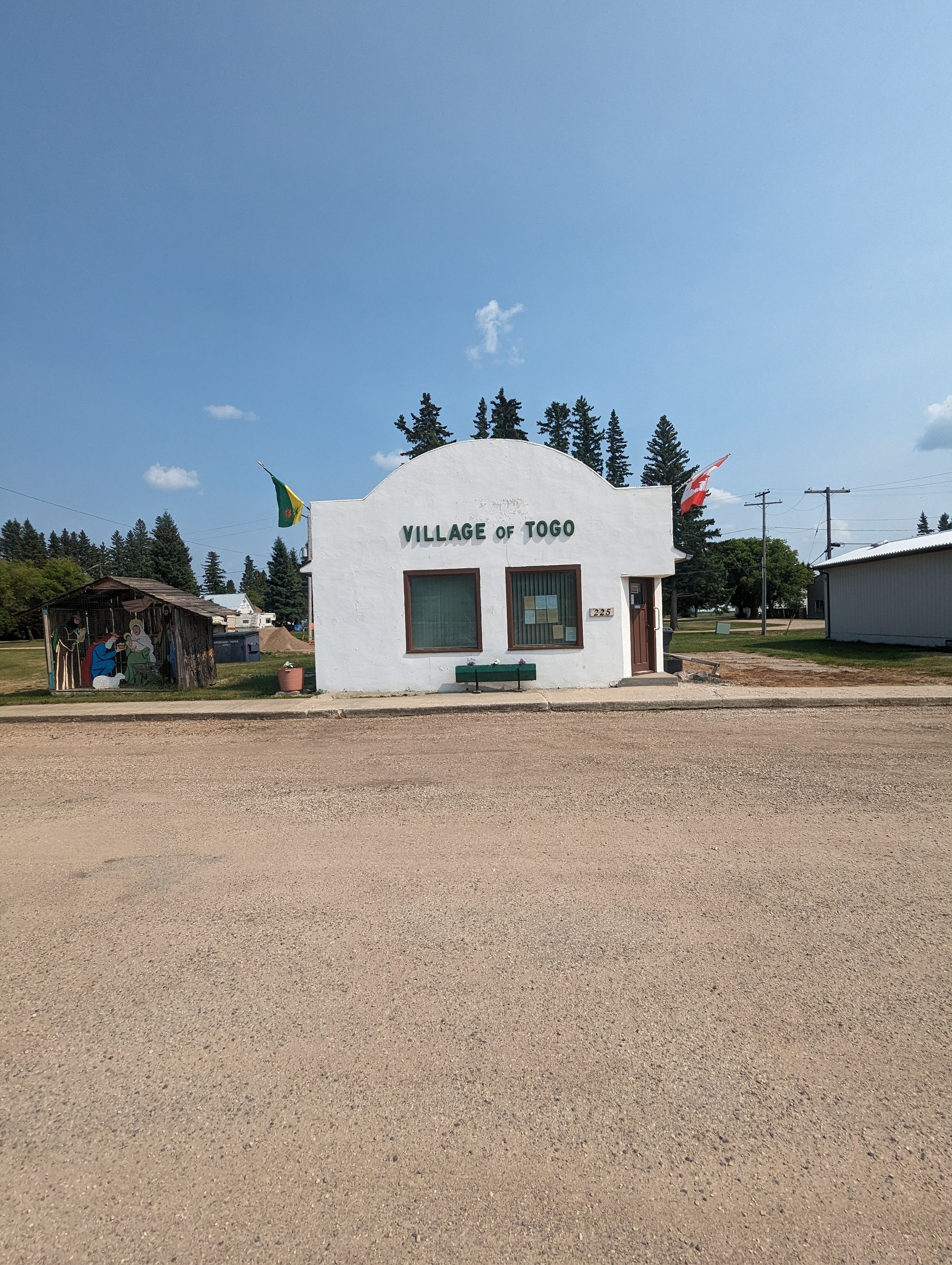
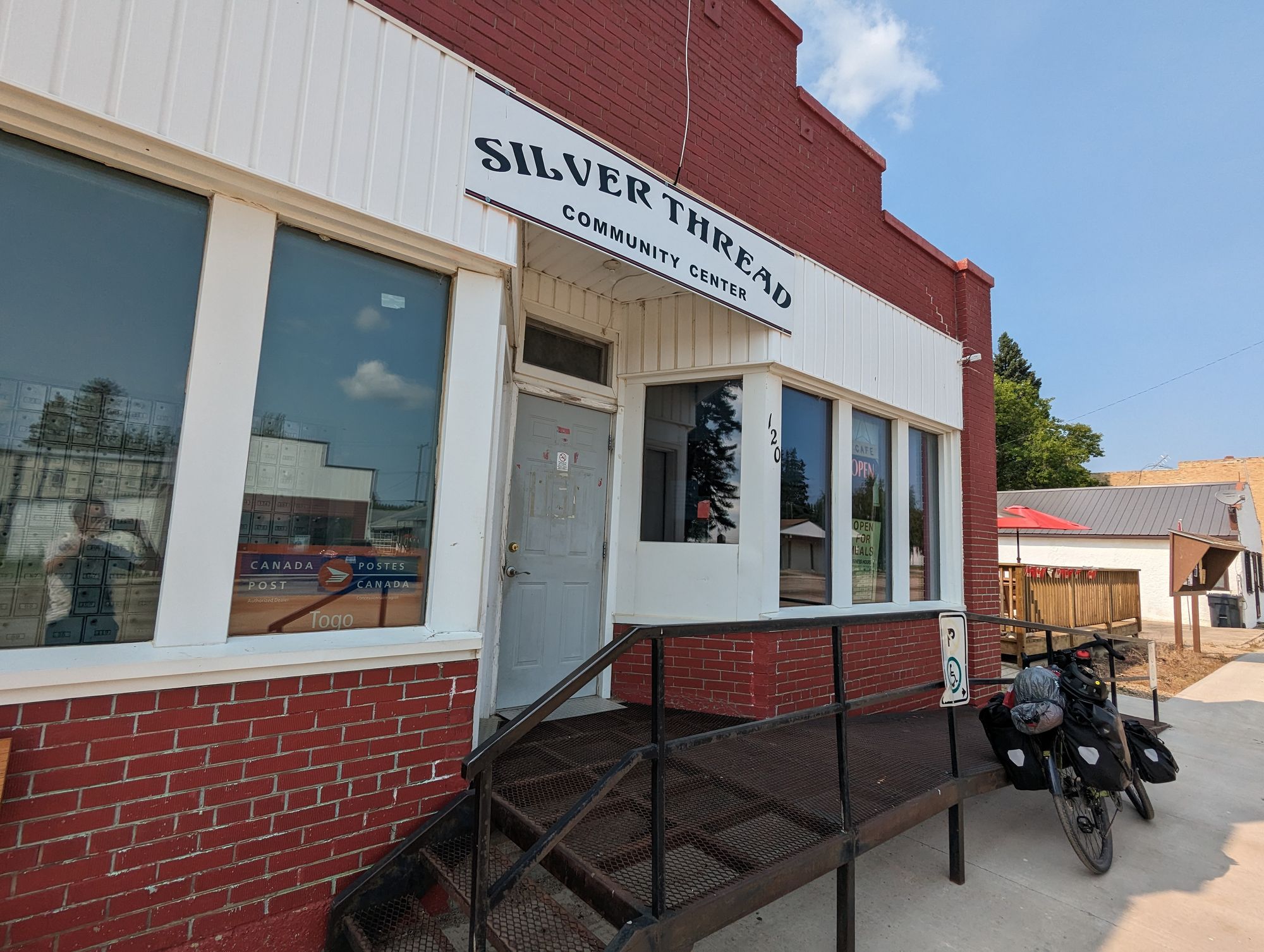
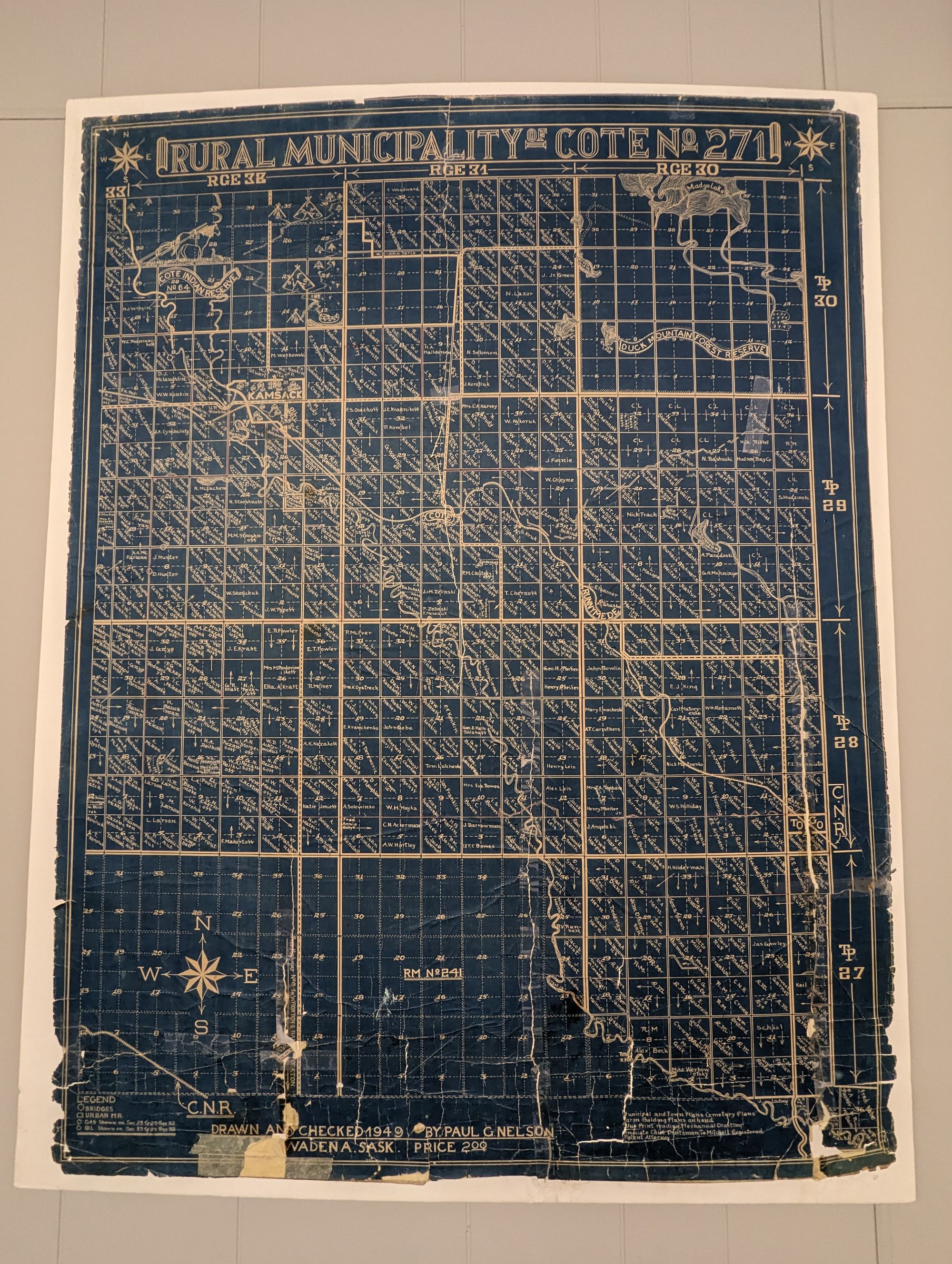
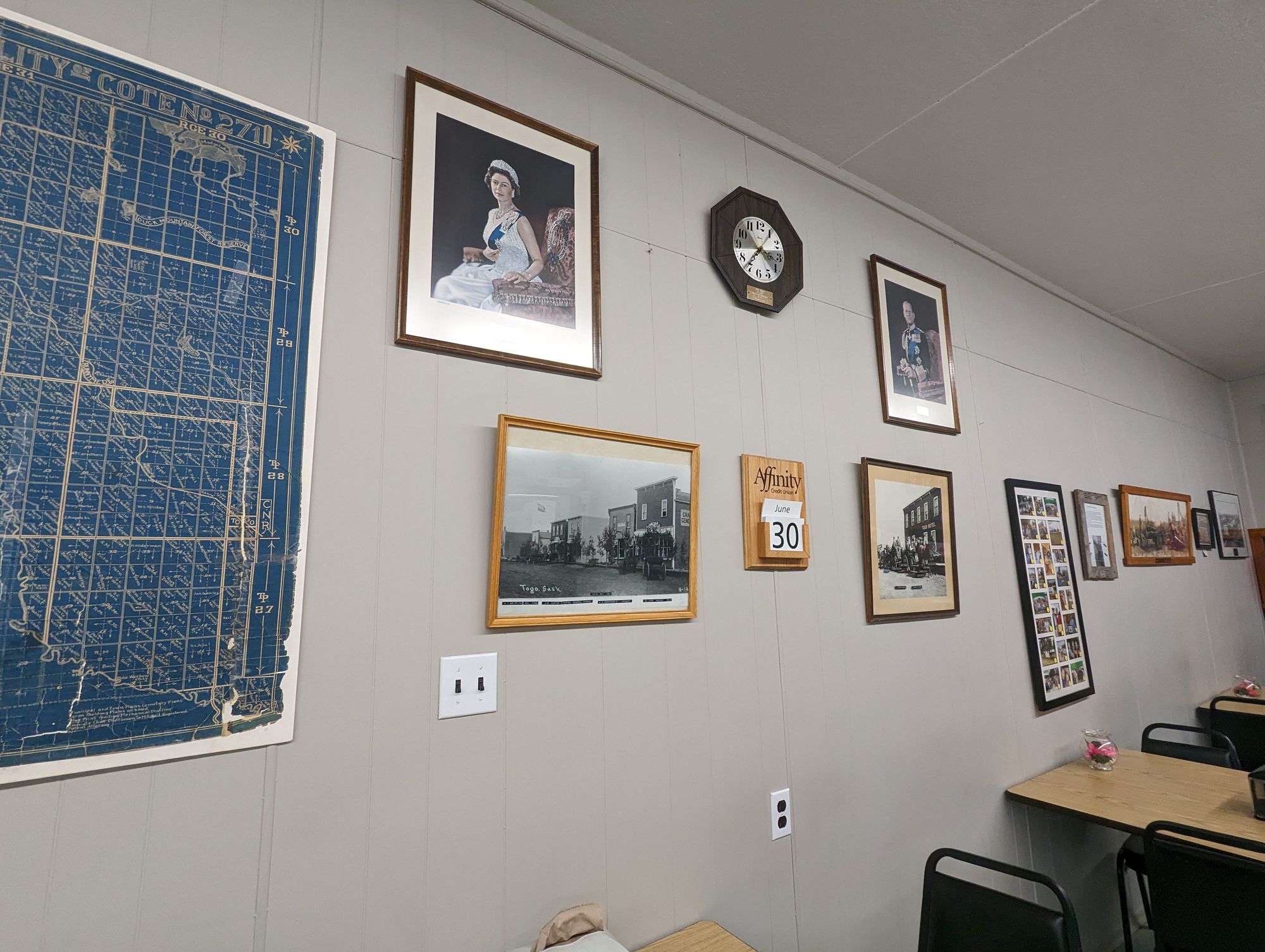
I biked into Togo, Saskatchewan. It's a tiny town that had a really nice municipal campground. I was tempted to stop, but I'd only gone ~70km and that felt like way too short a day. My urge to push on was getting the better of me. The heat was also getting to me. I went into town to see if I could find a place to sell me an iced tea. I found their Silver Thread Community Centre which seems to mostly serve seniors and they were gearing up for a steak buffet. They sold me an iced tea and orange soda. I drank both quickly, and the sugar woke me up. I looked around a bit and snapped some pictures of the artifacts in this community hall.
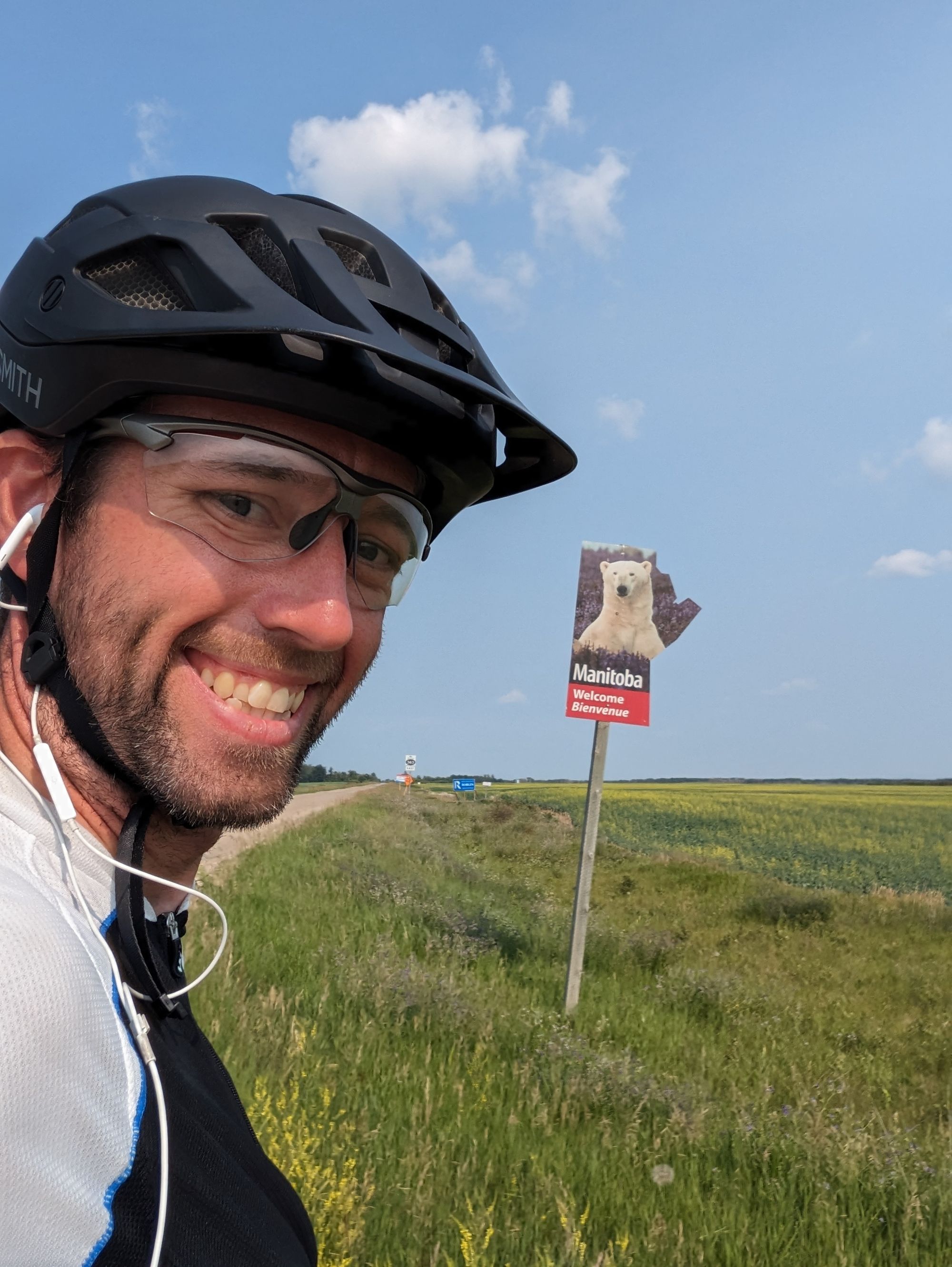
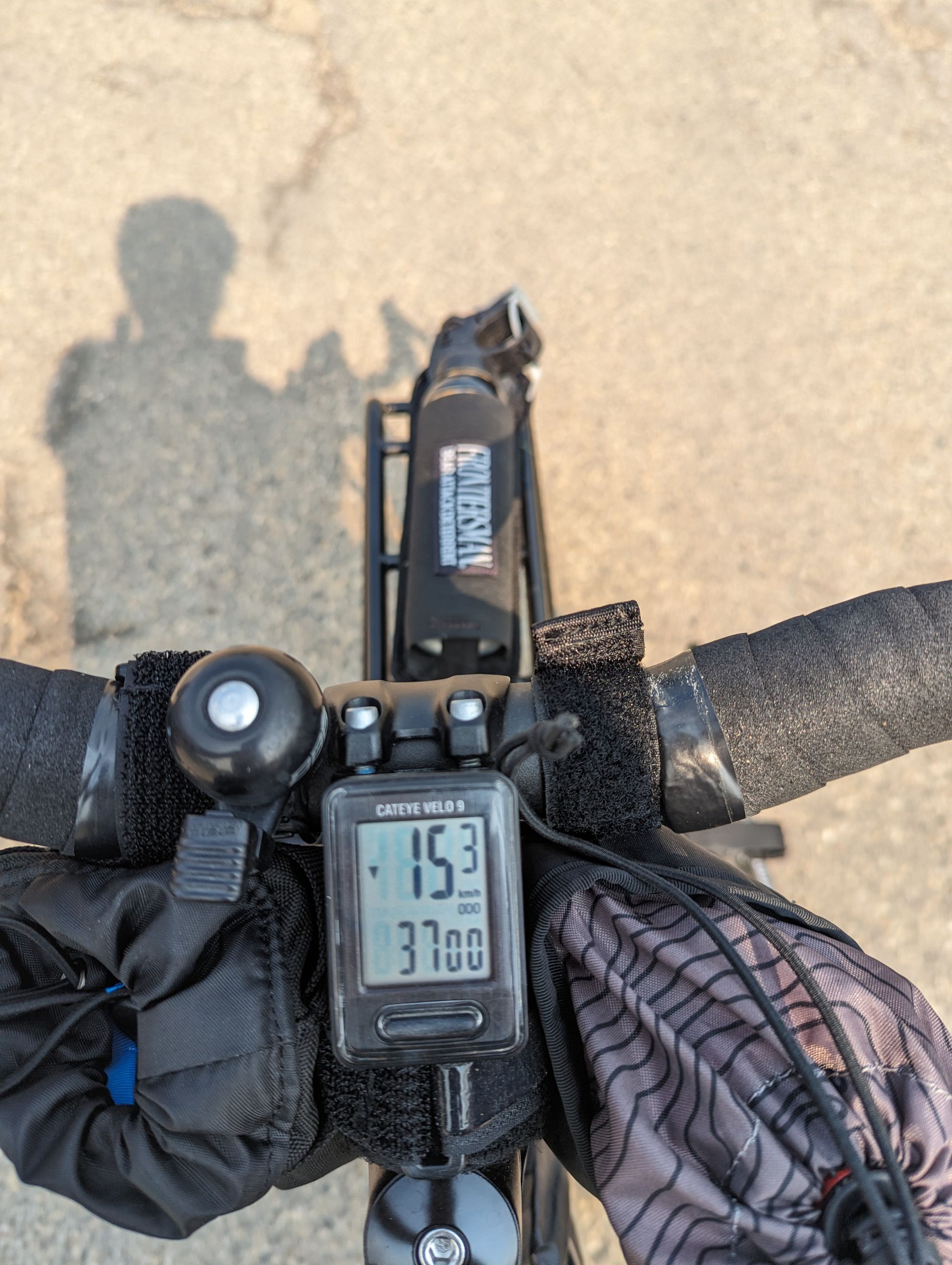
I biked out of town and hit 3700km total for the trip. And then hit the Manitoba border.
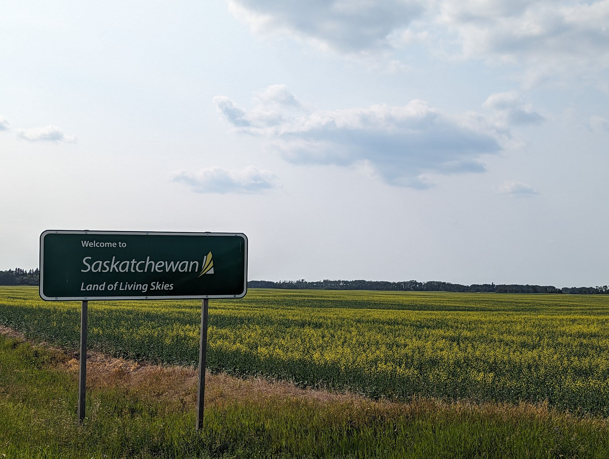
And like that, I was saying goodbye to Saskatchewan. I'd crossed into the province at 3000km and had totaled 700km over less than a week. I said goodbye and thanked it for good weather and good fortune. Most people joked that Saskatchewan was going to be boring. Flat. Prairie. Repetitive. But I enjoyed every minute in Saskatchewan. It was all beautiful to me, and I'm going to miss it.
I snapped a photo at the Manitoba sign, hoping this is the only polar bear I have to see on this trip!
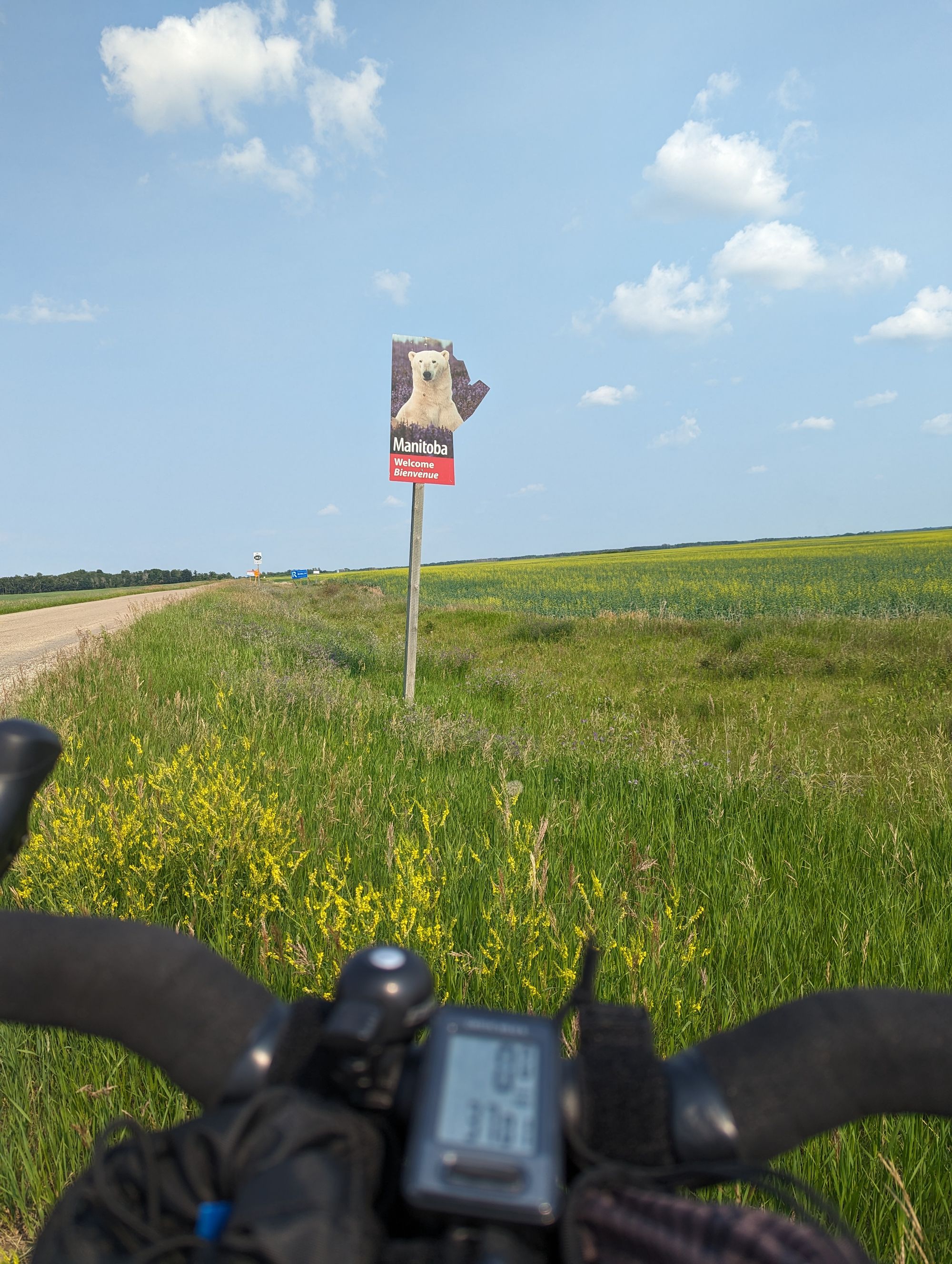

I gave a couple of whoops as I entered the Manitoba. Three down, seven to go.
It didn't take long to remember why I was never going to make it to Dauphin today: I had just crossed a timezone. Whereas it had been 4pm in Togo, it was now 5pm in Manitoba. I set out for Roblin!
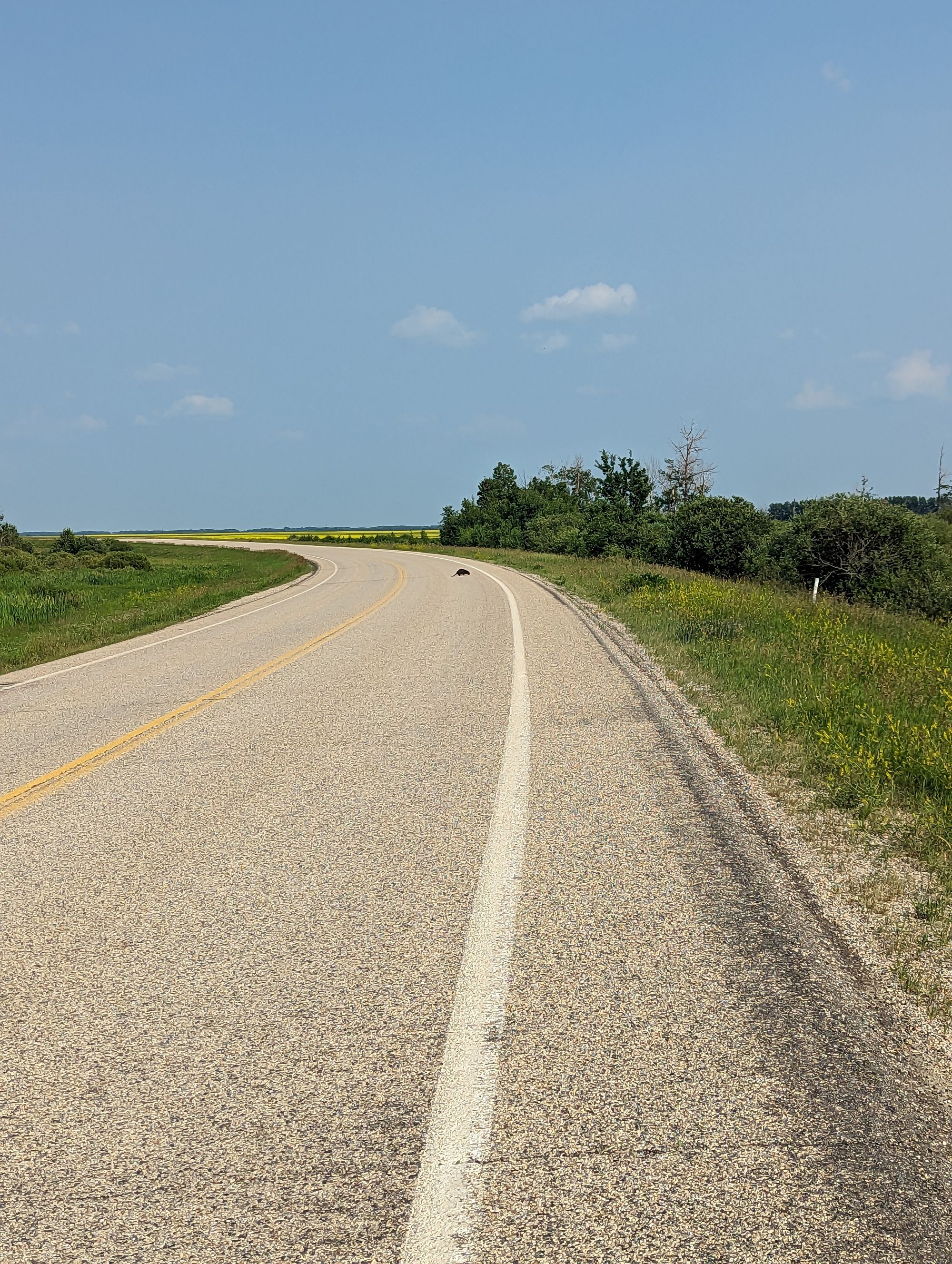
I spotted more wildlife: a beaver! It crossed in front of me and I shouted at him to get back to work!
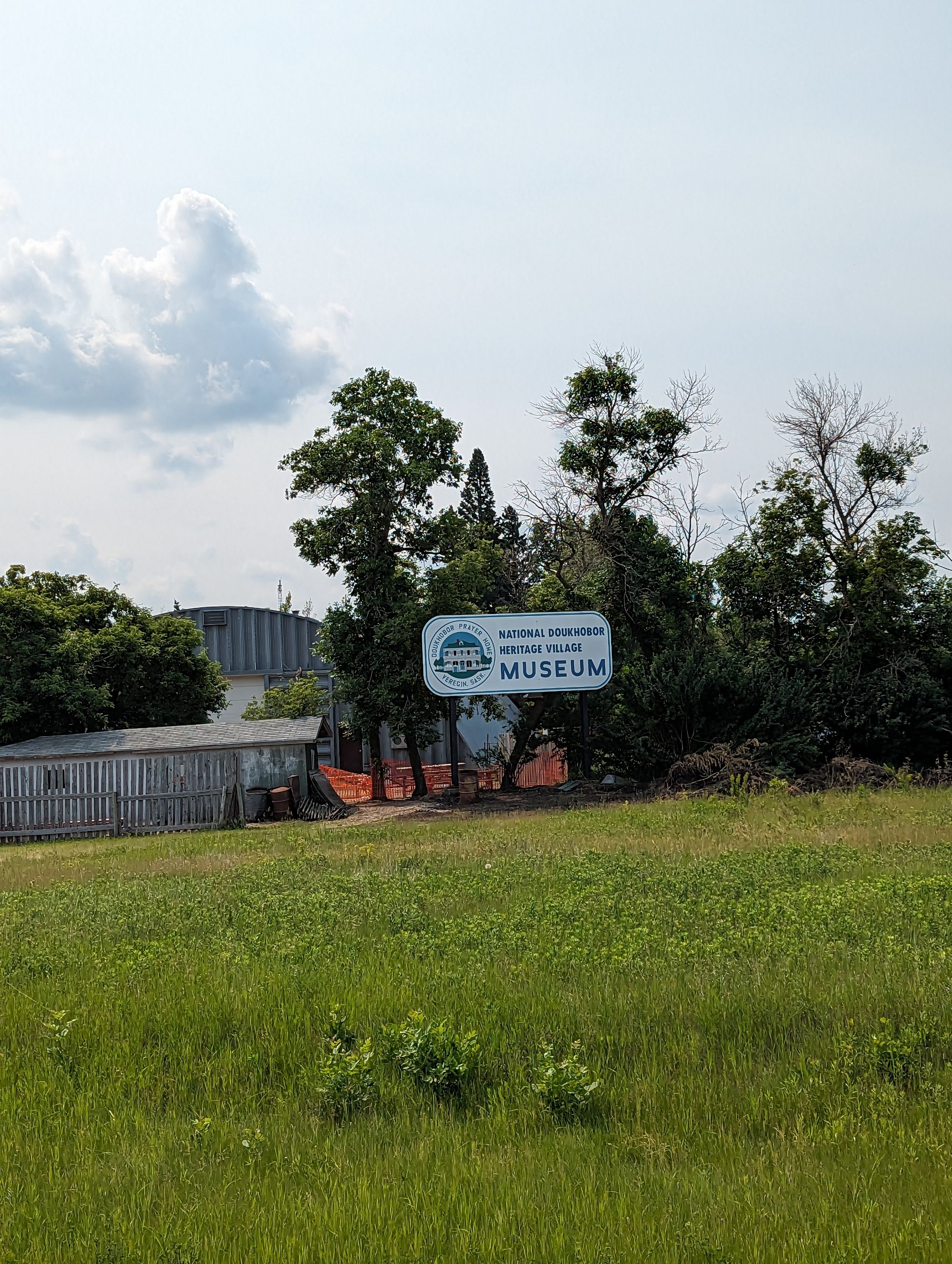
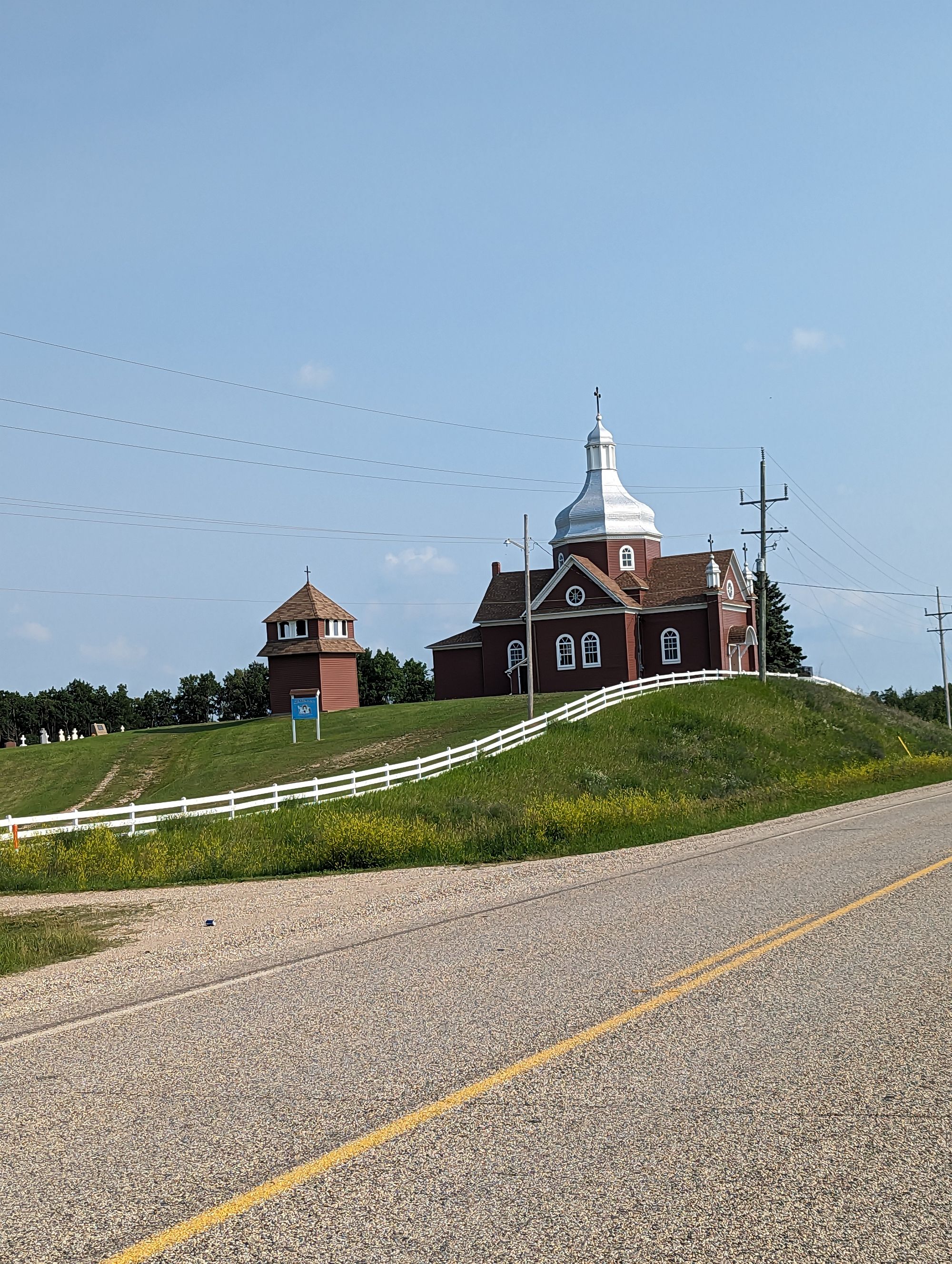
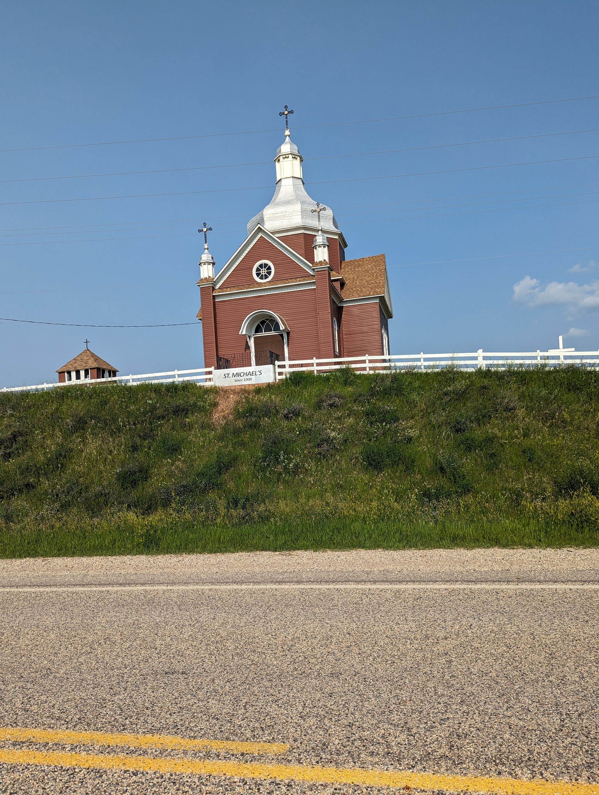
The road was hilly. The flat relief of Saskatchewan was being replaced more and more by rolling hills. Outside Roblin I spotted another piece of cultural heritage.
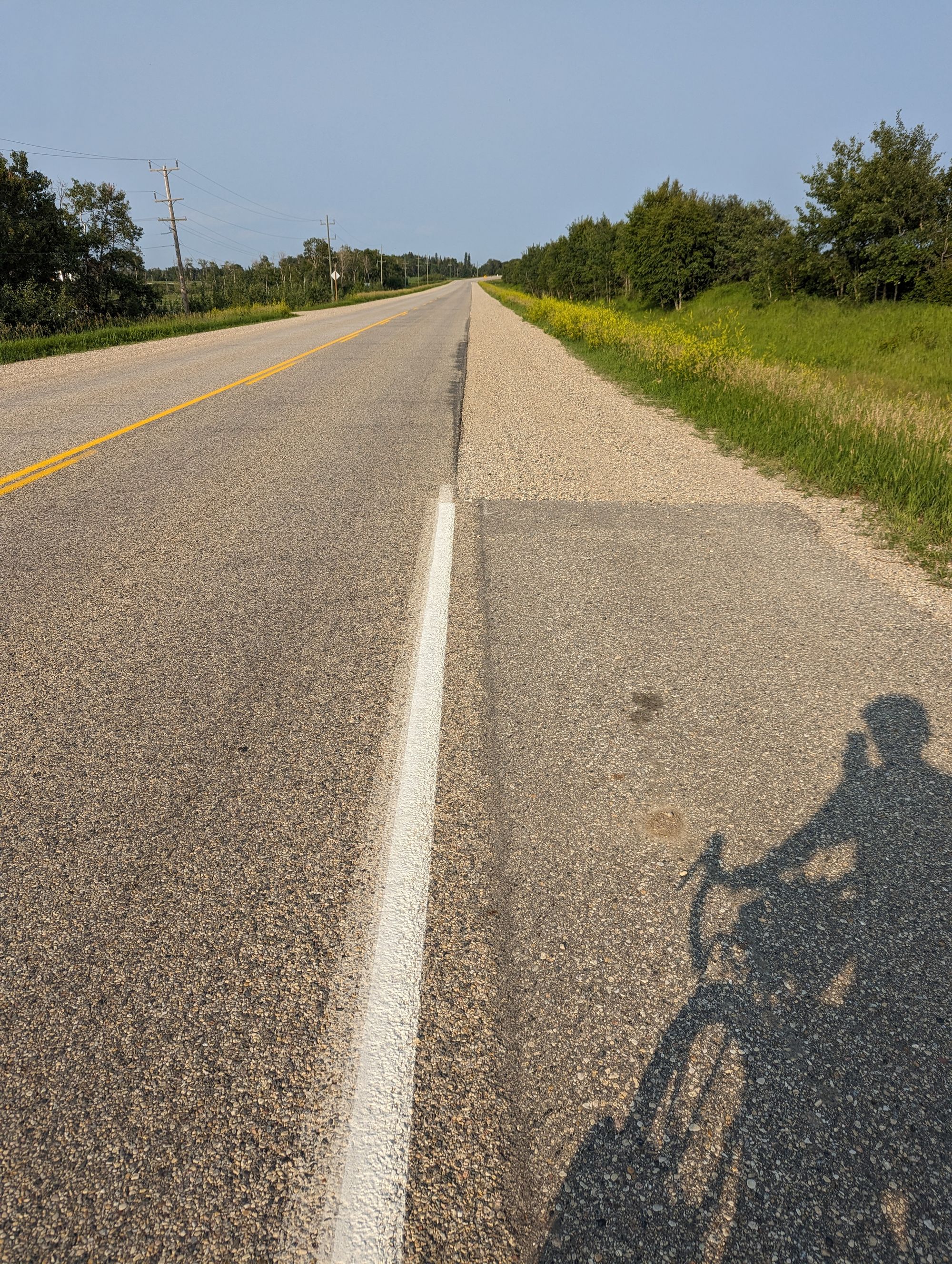
I was - admittedly - not on a main highway in Manitoba, but in this province the shoulder has this un-nerving characteristic where it just turns to gravel every once in a while. In engineering terms, this is known as "cheap" and Manitoba does it a LOT! Paved shoulder only exists for small patches at a time out here. Or sometimes it goes for a while and then just stops again. It was unclear how or why. It just was...
I entered Roblin, went to the first gas station I saw, and bought two BioSteel hydration drinks and a protein shake. I don't think I understood how dehydrated I was feeling. If you're keeping tally, this was the fourth, fifth, and sixth drinks I'd bought this day. Only as I write this do I realize how bad I might be at hydrating properly...and I need to work on this as the heat and humidity get worse!
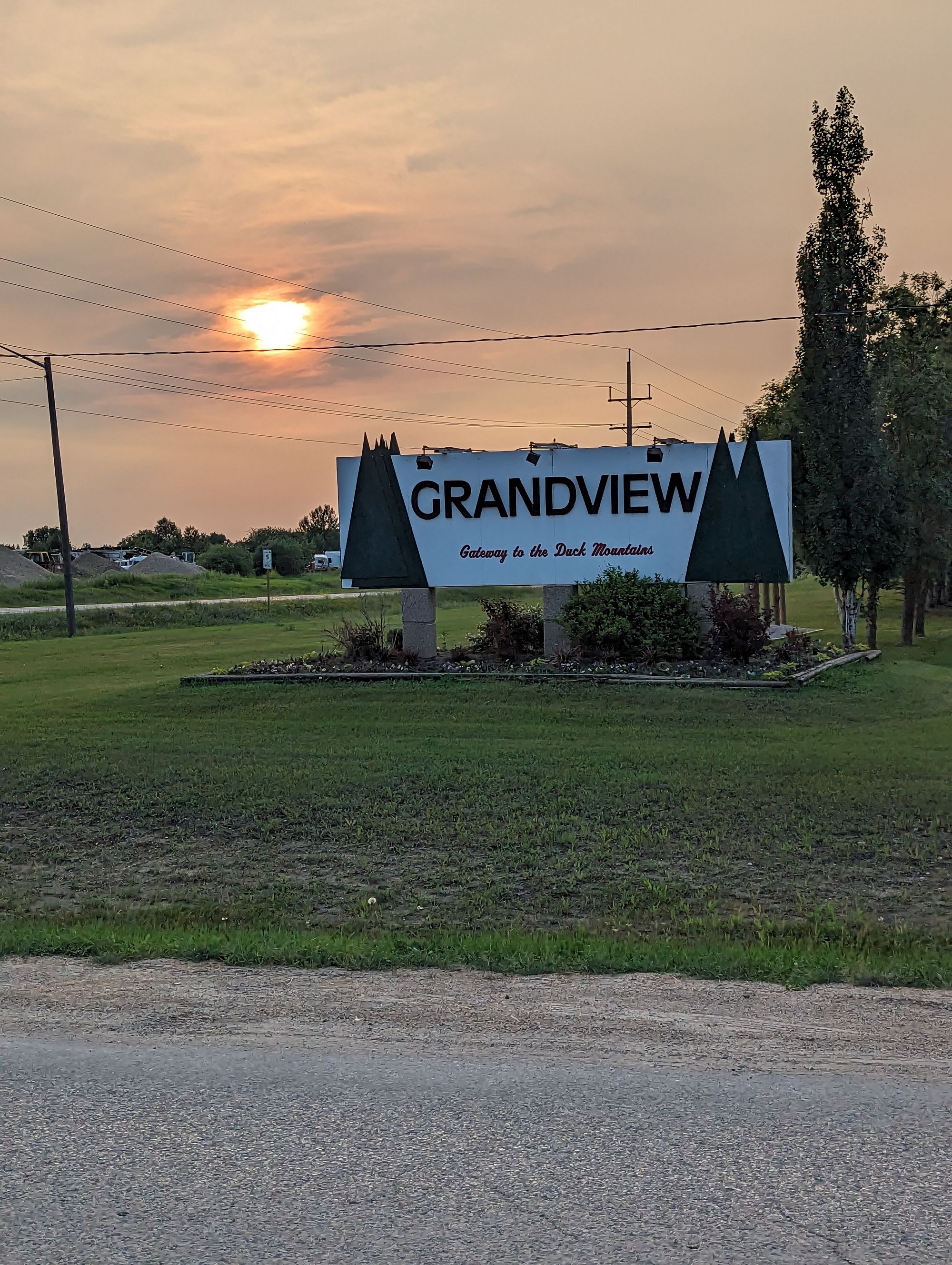
It was 6pm and I'd only gone 100km for the day. I could stay in Roblin, or I could keep going. It was 100km to Dauphin and I didn't think there was ANY chance of that happening. But there was a town callled Grandview just 45km down the road. The sun wouldn't set till almost 10pm. So I kept going.
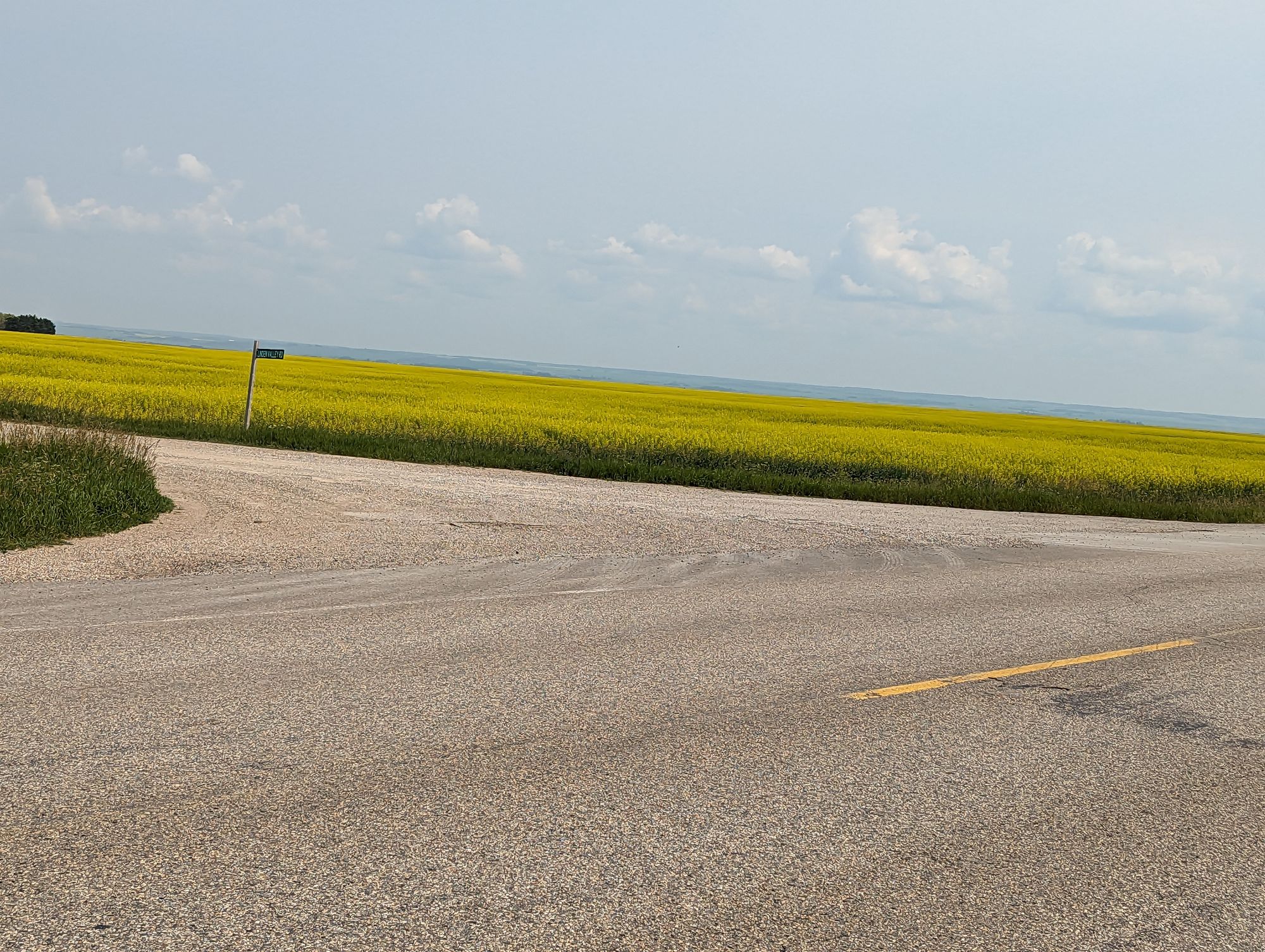
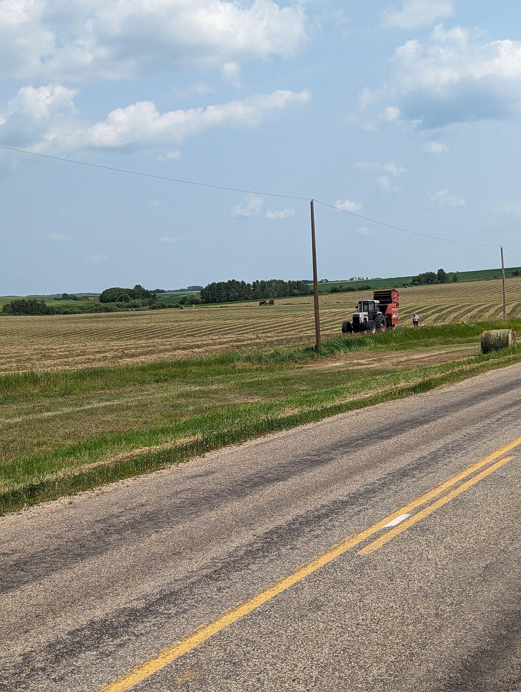
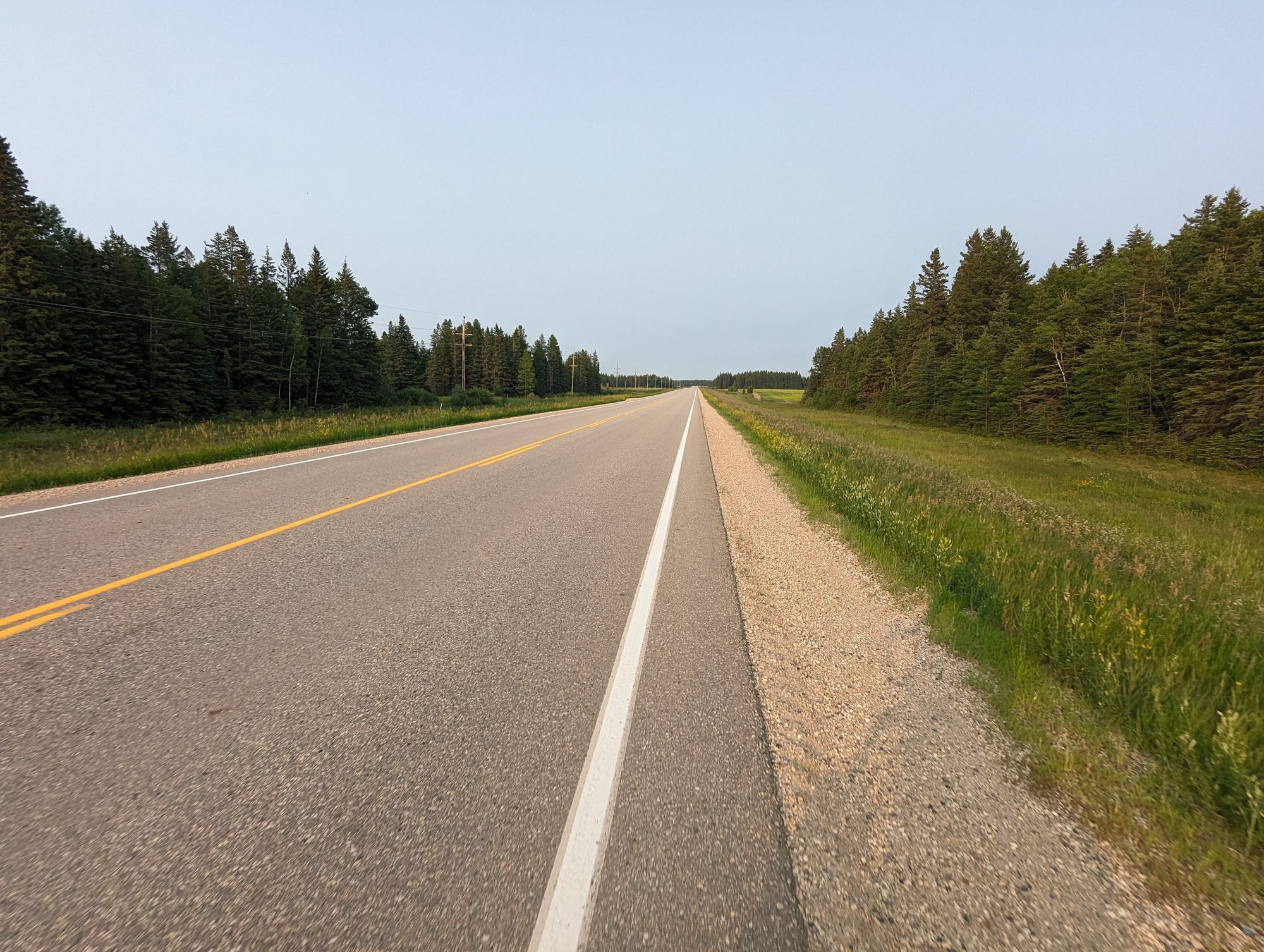
The road was flatter in this section. I enjoyed faster speeds and made good progress after hydrating. Here are some pictures of the how the terrain had changed to give you an idea of the changes:
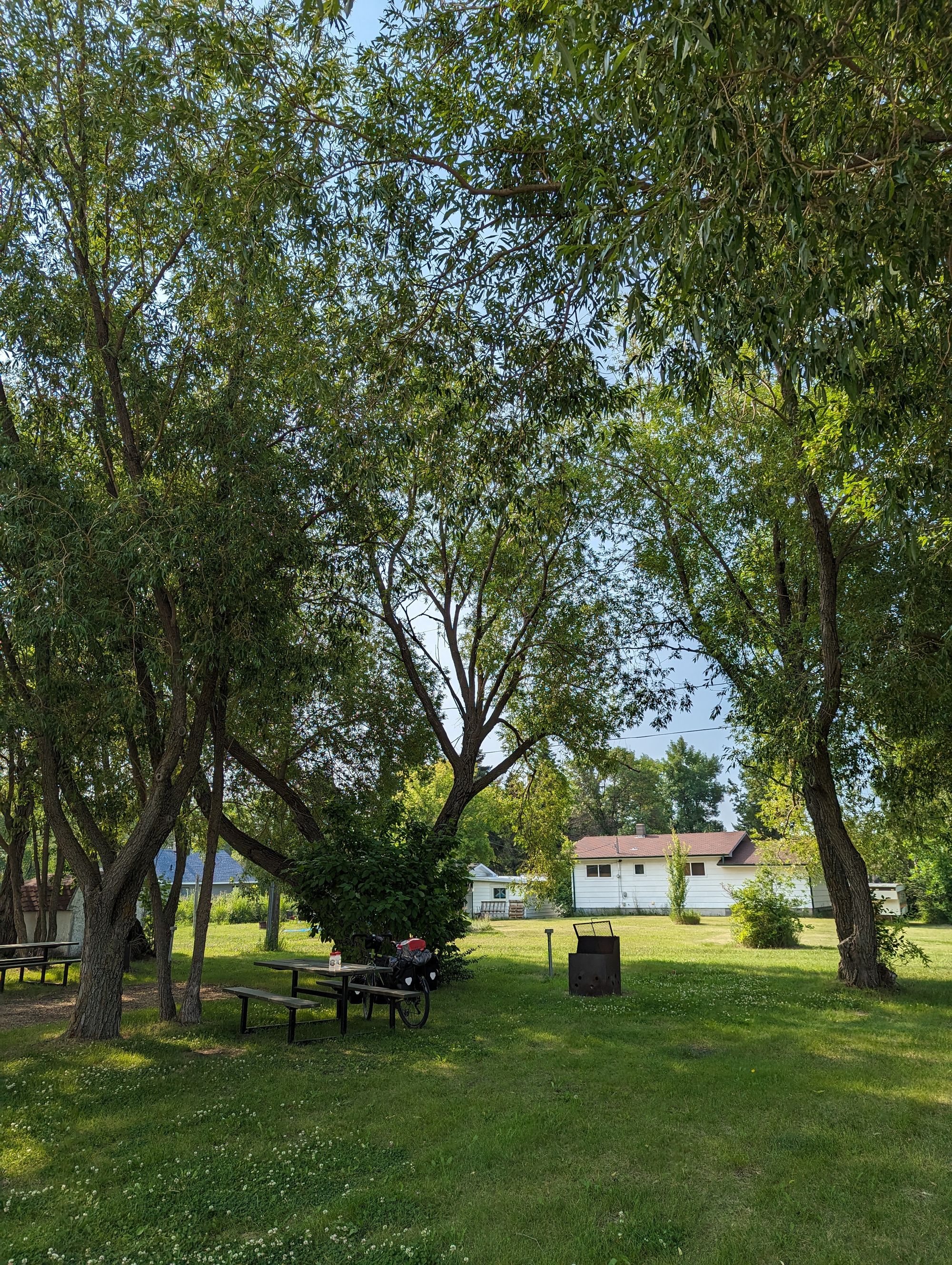
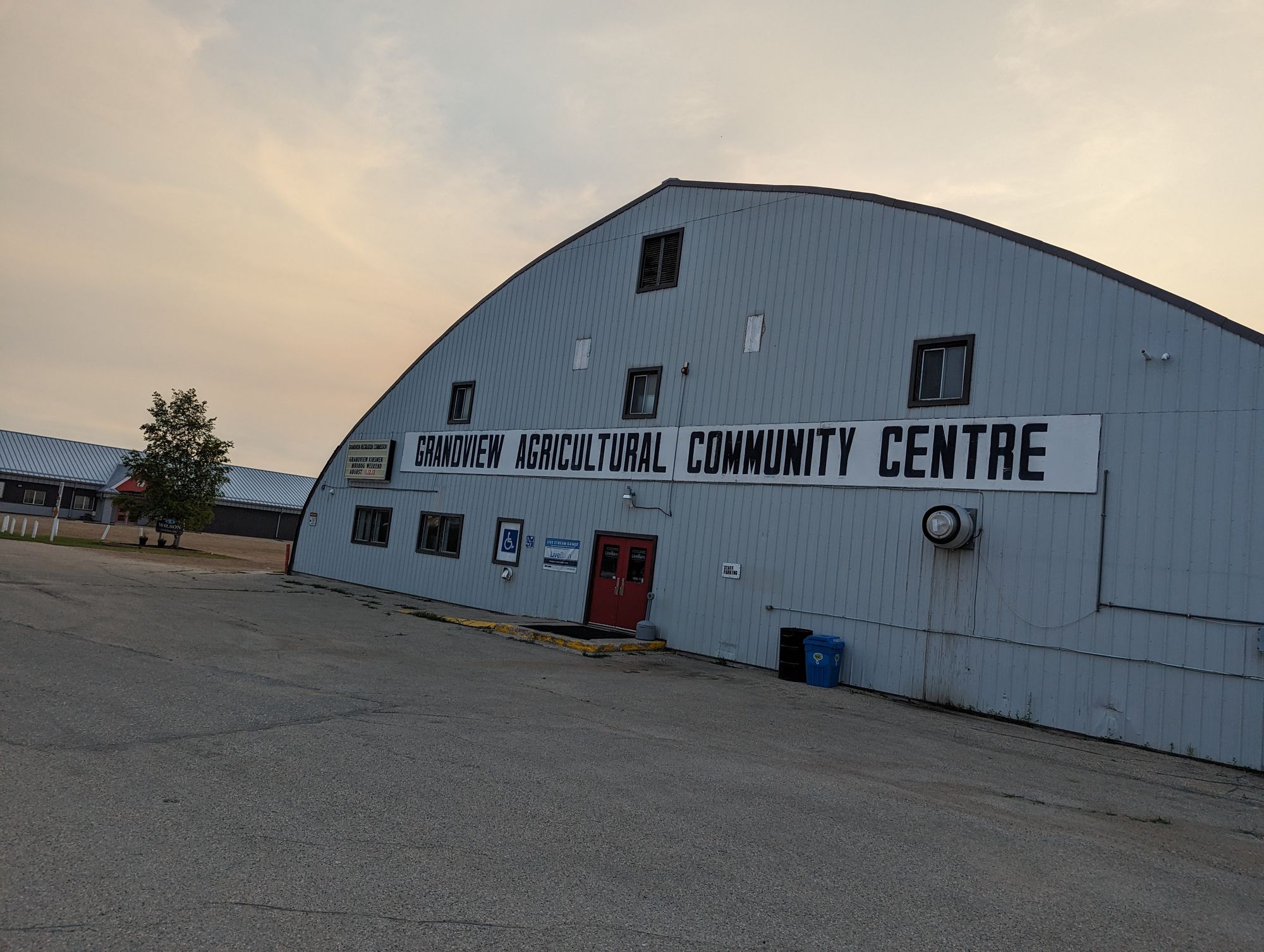
At about 8:15pm I reached Grandview, Manitoba. I biked down Main Street and scoped out of the businesses. Nothing was open. I found their campground which was very pleasant and the washrooms were new and clean. One of the reasons I'd come here was because it had a shower. But I was foiled. The town had locked the shower room. I cursed and kicked rocks. It was too late to find someone to help with this, and so I settled for a baby wipe shower. I ate the second half of my big sandwich and - feeling the exhaustion - turned in.
It was a rough day. The hills, heat, and humidity had been more than I've had to deal with the entire trip. British Columbia had all of these but not like this! All of that aside, I was happy to have reached the milestones of Manitoba and 3000km.
I slept like a rock.