Day 96: Trois-Pistoles, QC -> Val-Brillant, QC
Jeremy and Skipper enjoy the coast, find a submarine, and return to the hills
Date: Saturday, August 19, 2023
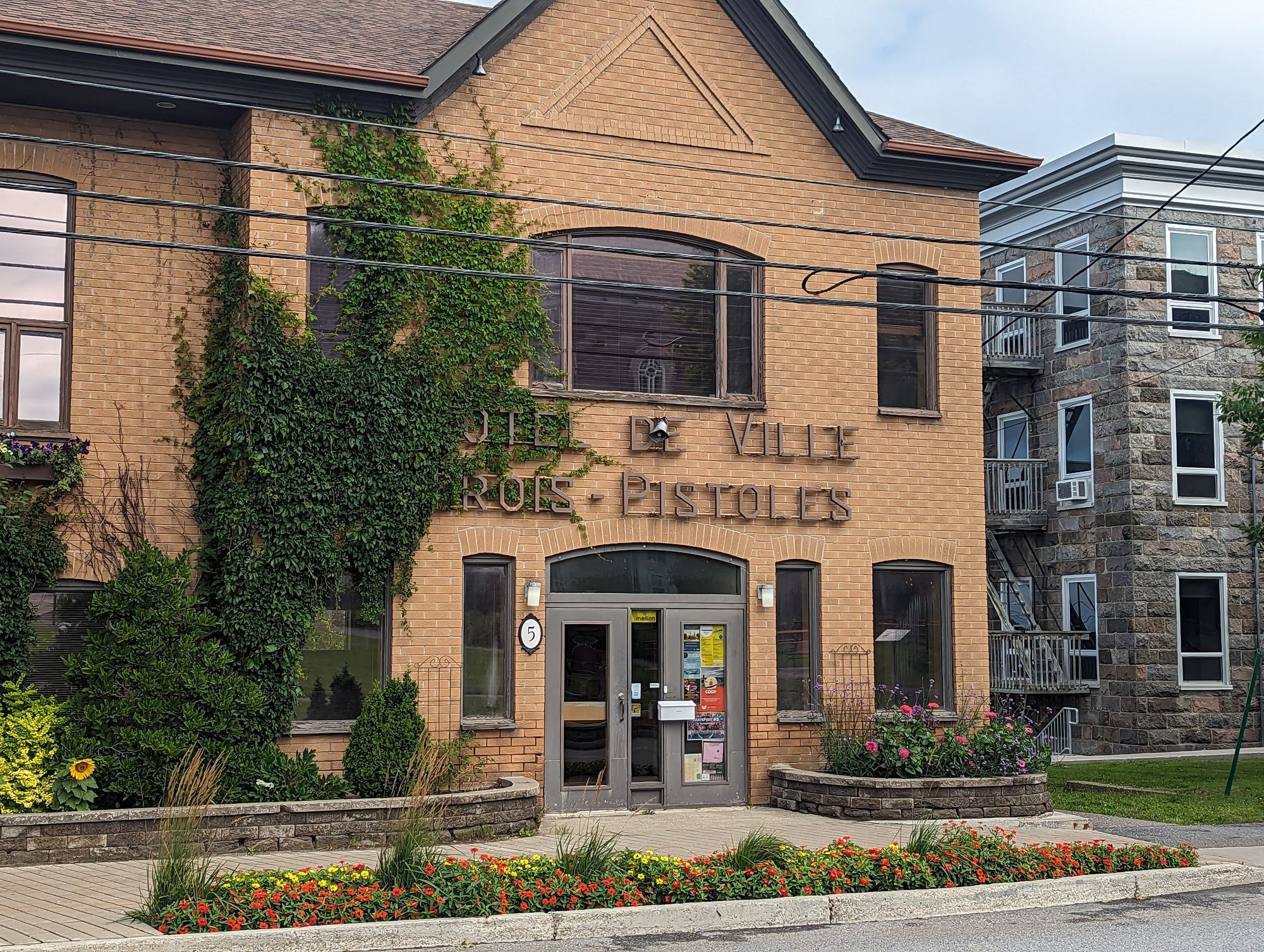
Start: Trois-Pistoles, QC (Motel Rivière Trois-Pistoles)
End: Val-Brillant, QC (Camping des Bois et des Berges)
Distance: 163km
We woke in the morning to find a day that was overcast but there was no sign of rain. The plan to take the hotel room had worked a treat. The storm had stormed while we slept, and had now passed us over! All our equipment - and we ourselves - were still dry! We were pretty proud of ourselves.
The options for our next destination weren't great. There was camping in either Mont-Joli, Quebec which was about 95km or we'd have to make a push of almost 180km to Amqui, Quebec which was far more than we really wanted to do. We decided to hit the road and see how we fared. We ate some snacks and food we had as a light breakfast with the plan of stopping on our way out of Trois-Pistoles for another snack.
We said goodbye to the owner of the motel - an anglophone originally from the East Coast of Canada with either a Cape Breton or Newfoundland accent - and headed off. We immediately went down a steep and long hill and thought we'd had a great start until we saw the hill in front of us. So we started climbing...
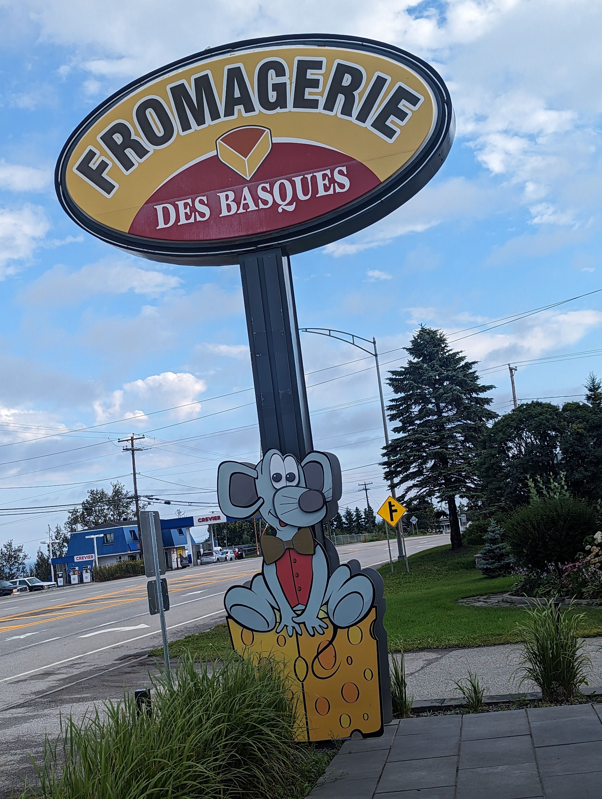
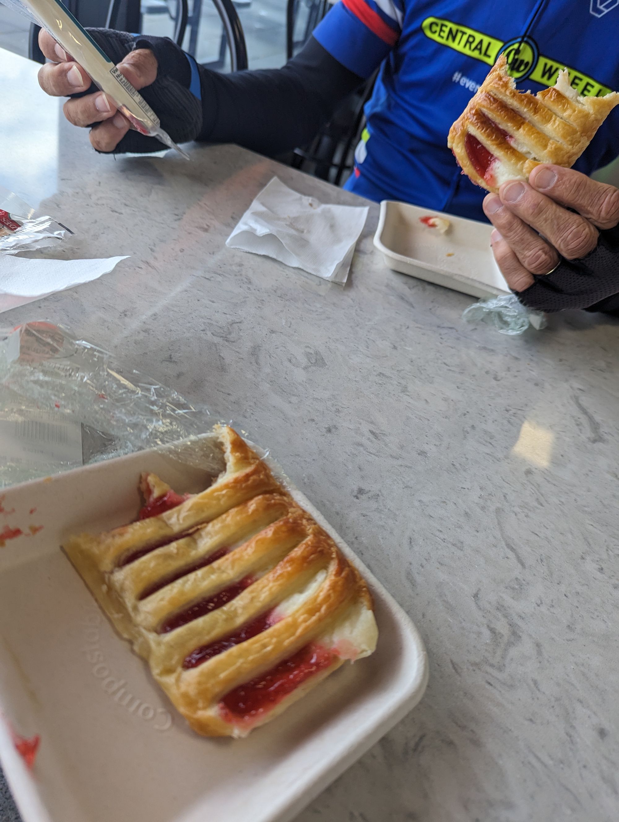
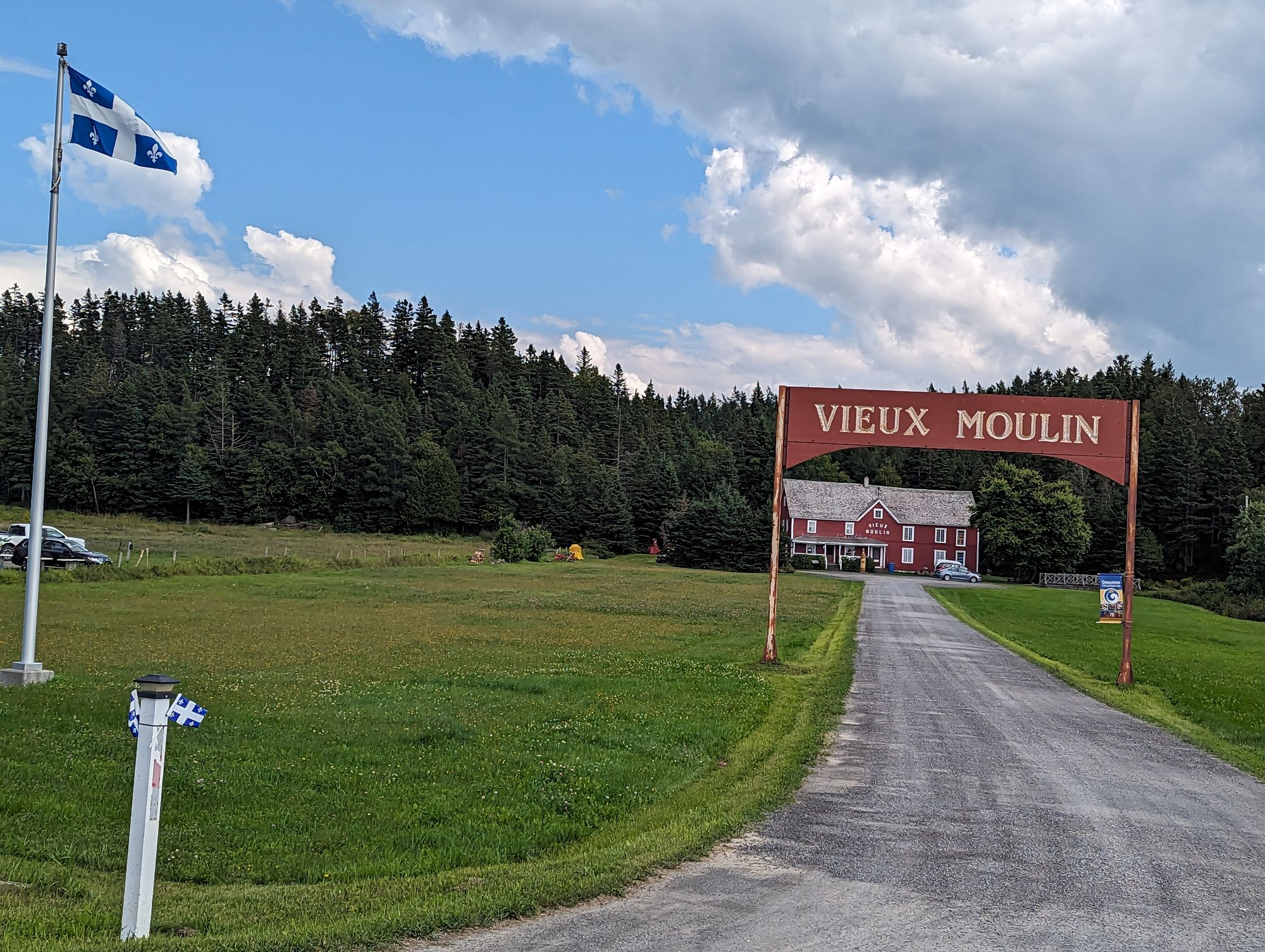
At the top of the hill we were rewarded with a fromagerie! Turns out they also made pastries so we stopped and headed in. There we were met with all kinds of maple products, breads, pastries, and fresh cheeses. We grabbed a few things - including a pastry - and headed out to eat. It was a great way to start the morning!
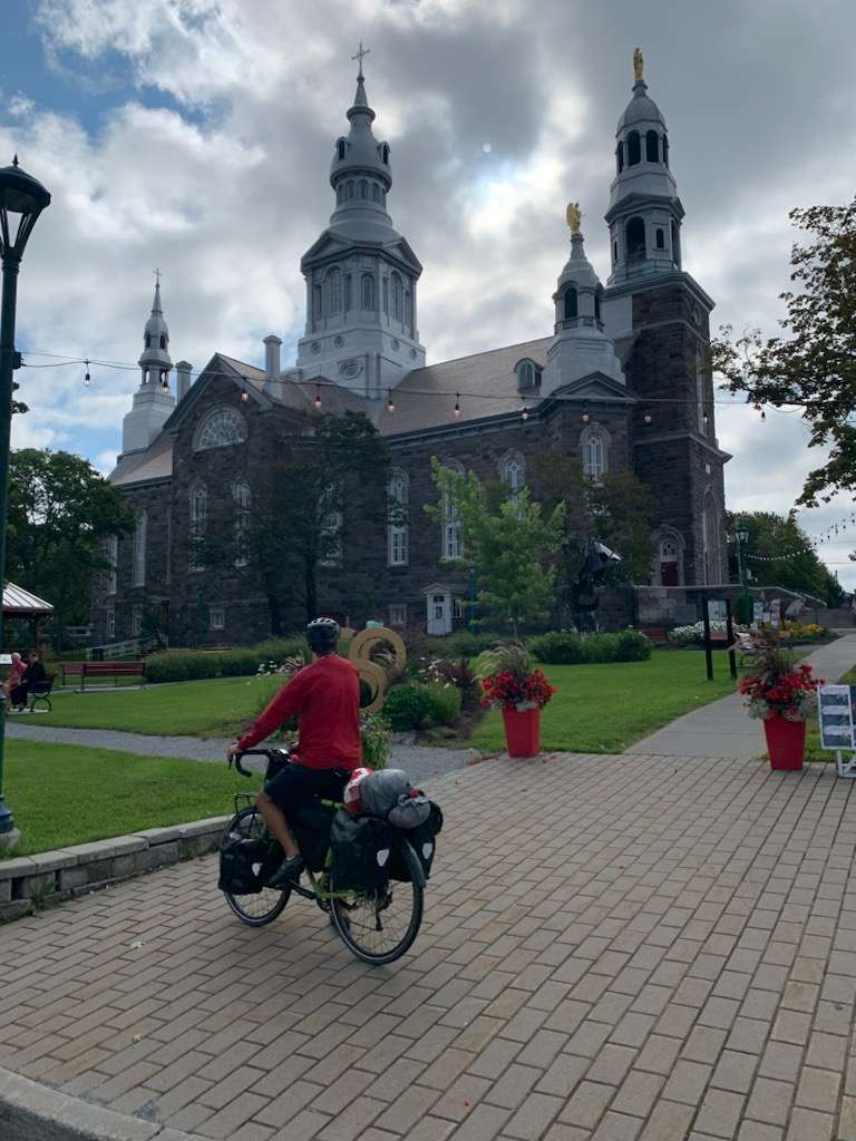
From here we biked into Trois-Pistoles (the motel had been just before the town) and I popped in my earbuds to fulfill my silly fascination with living/experiencing the lyrics from songs. This one would be another Tragically Hip song that is named after this town: Three Pistols. I listened to Gord belt it out as I pedaled through the town in wonder.
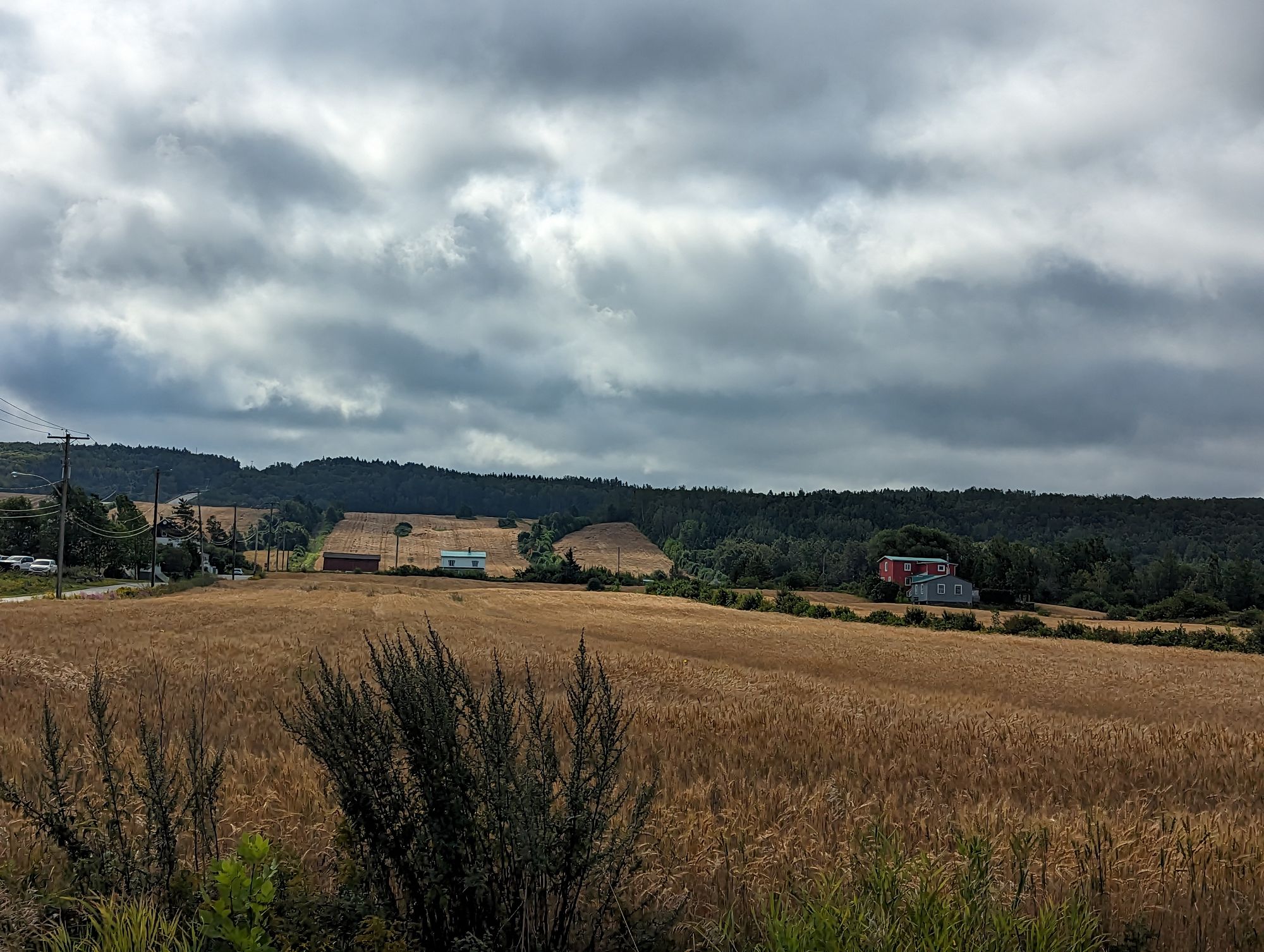
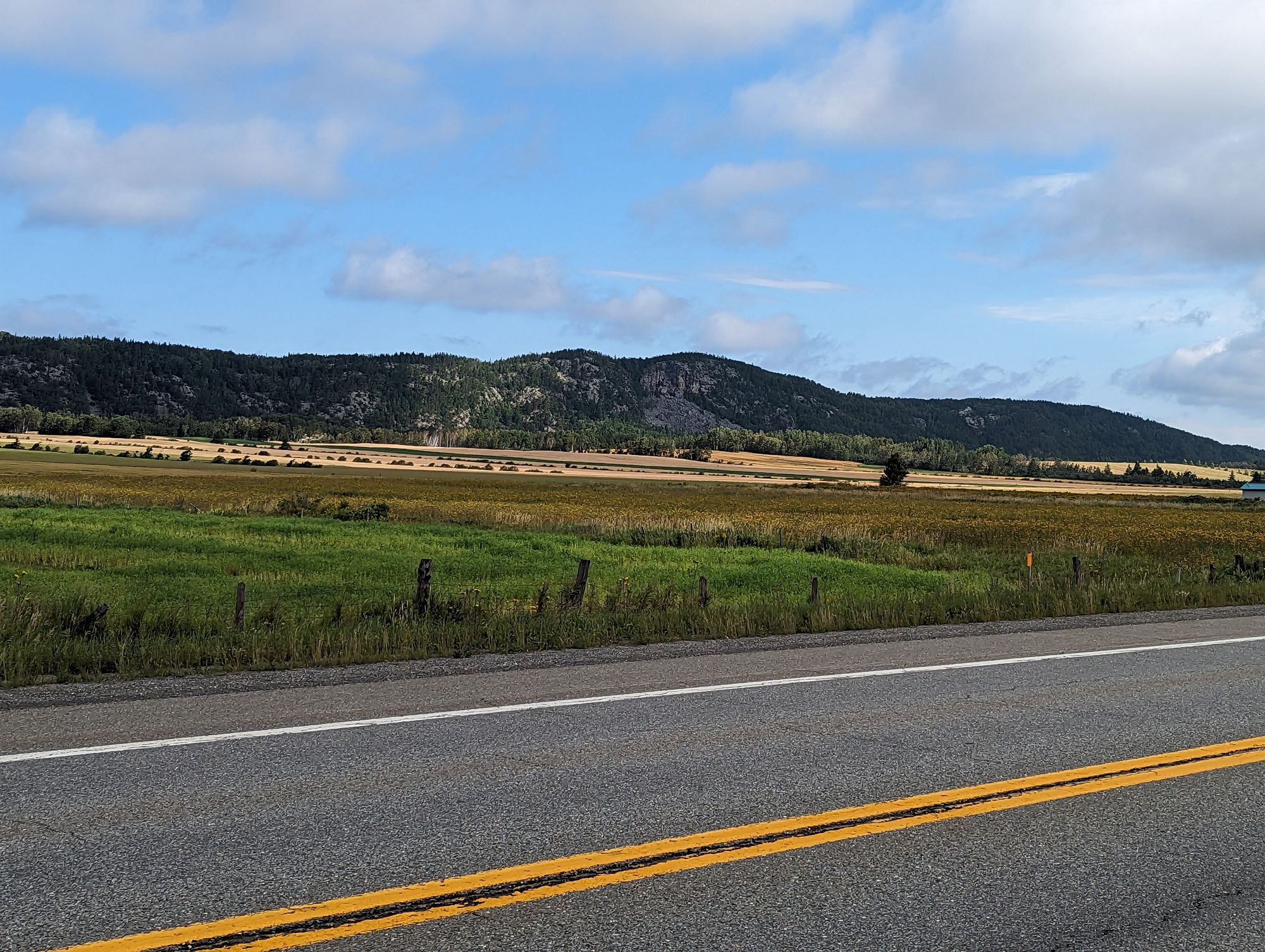
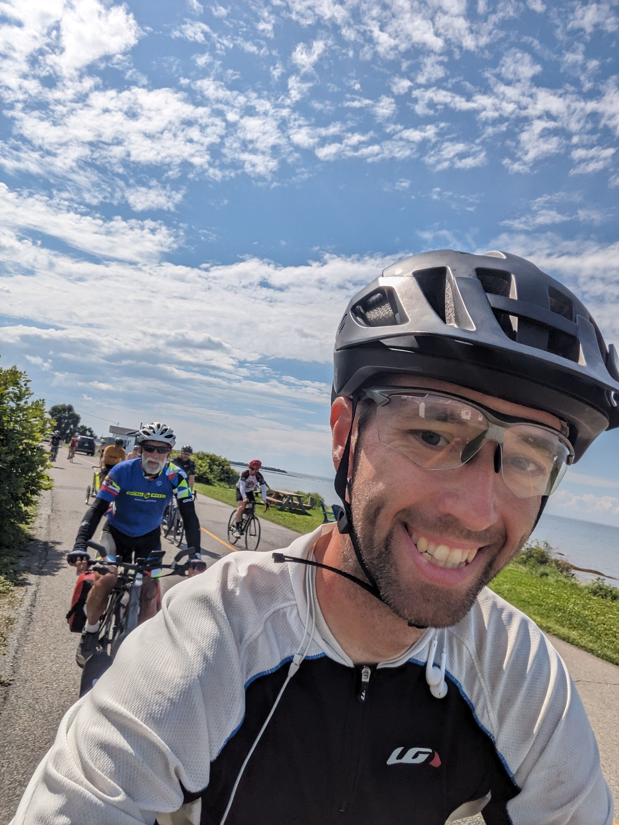
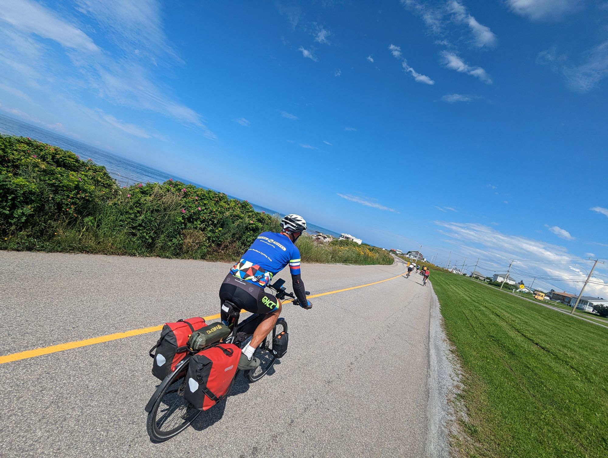
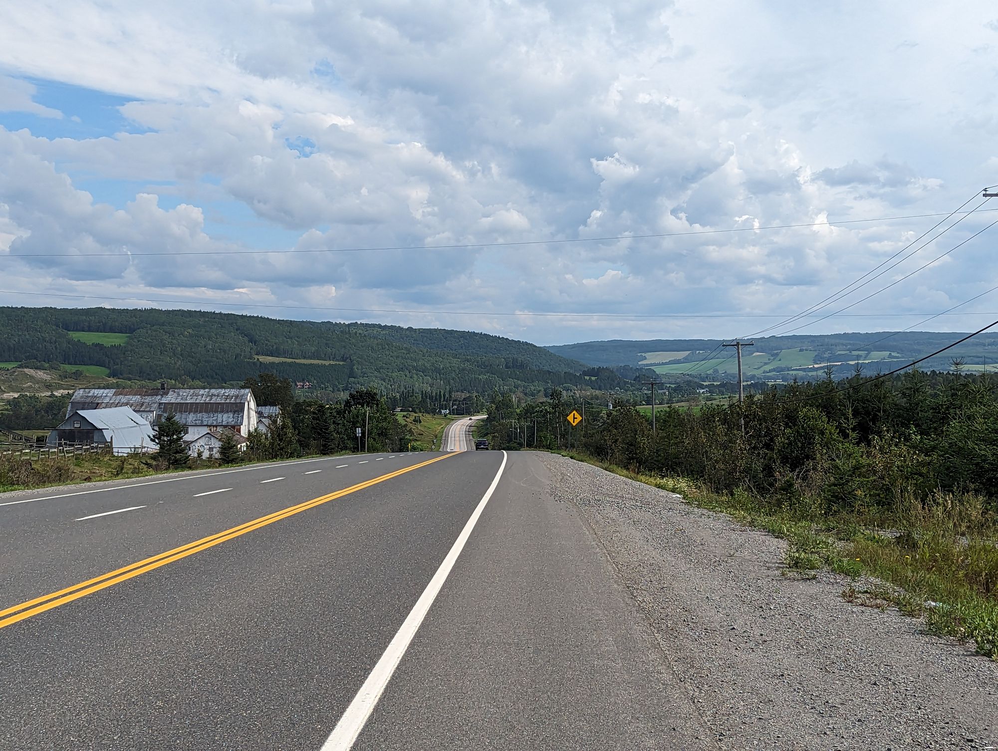
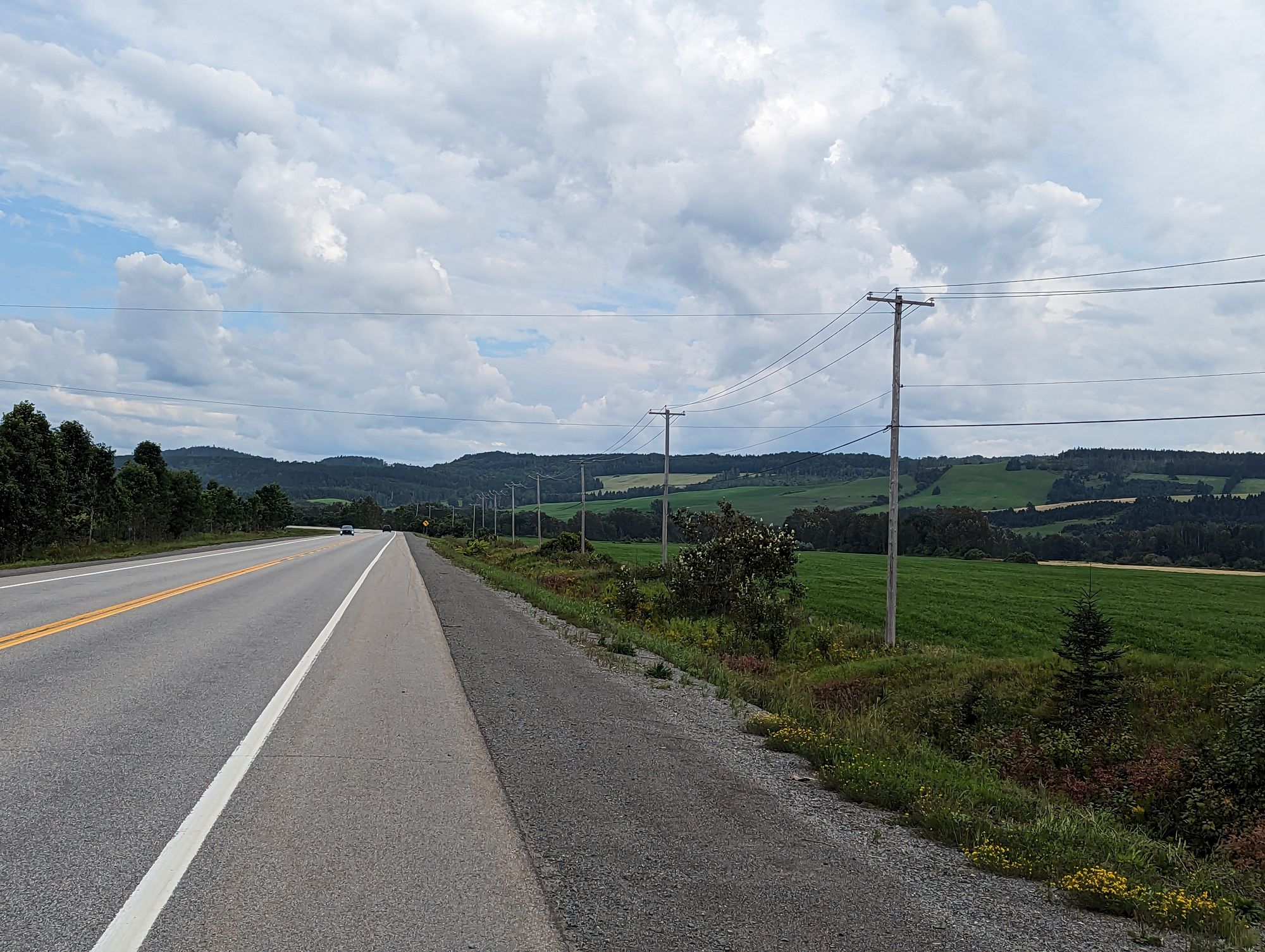
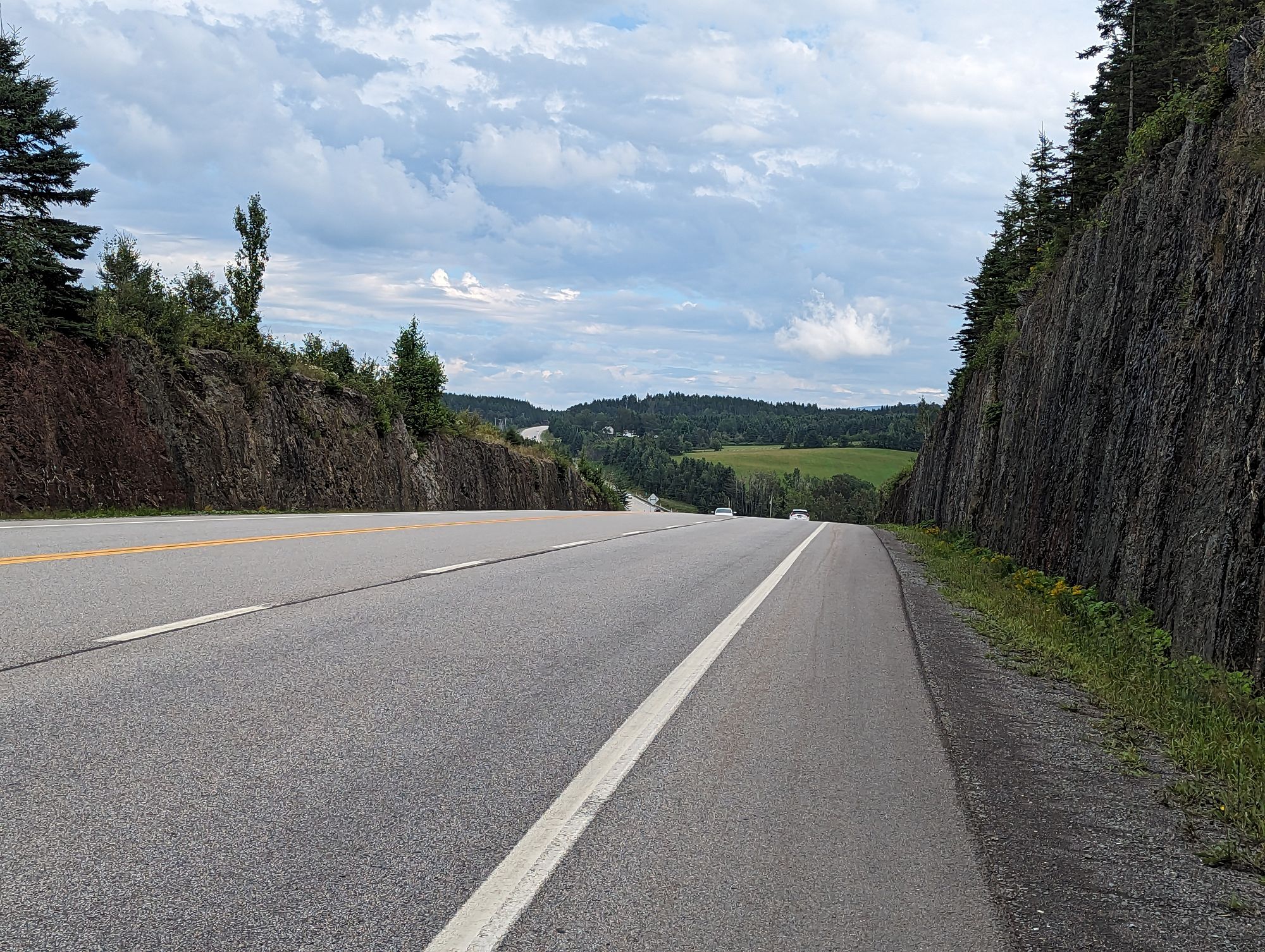
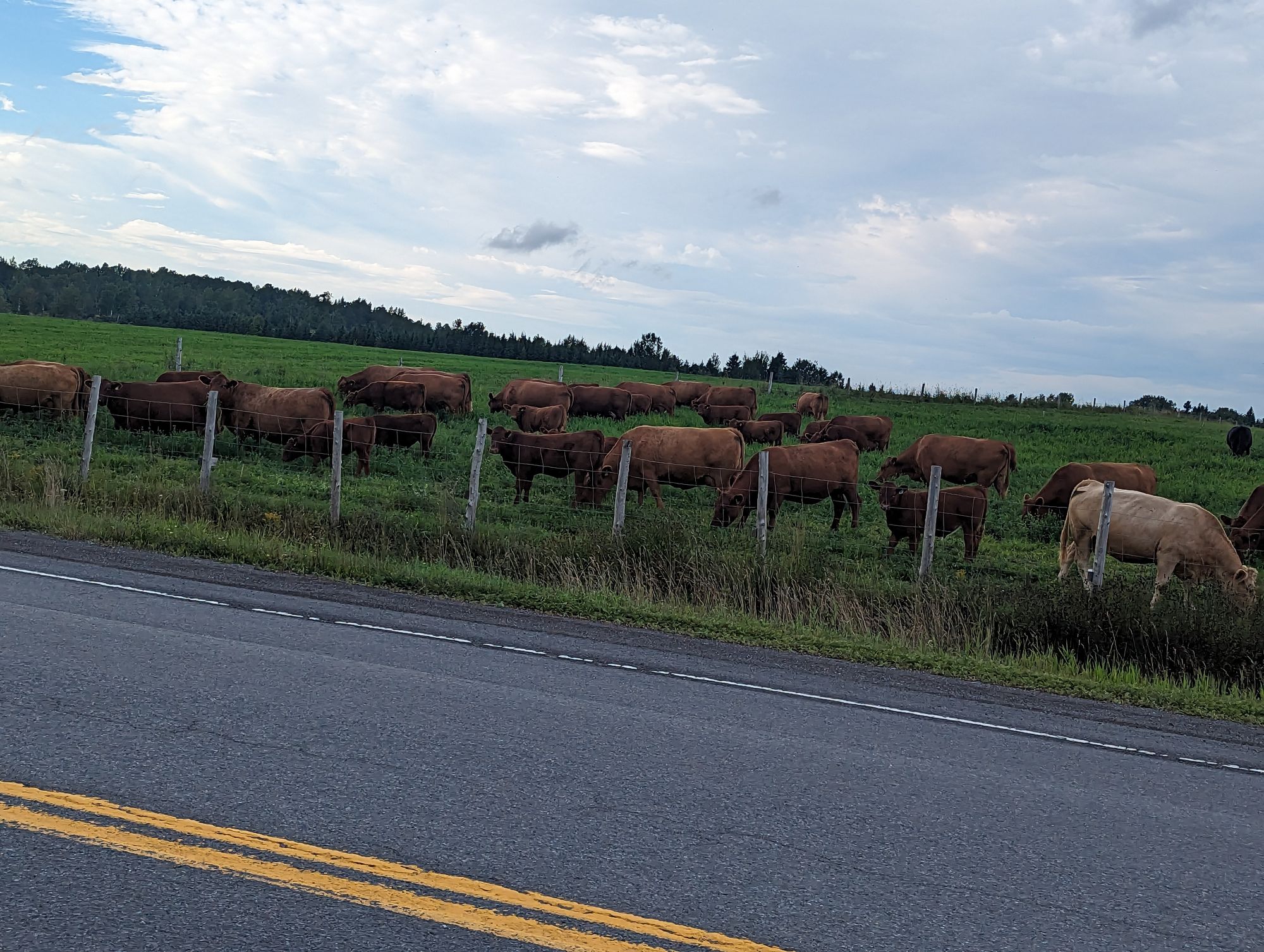
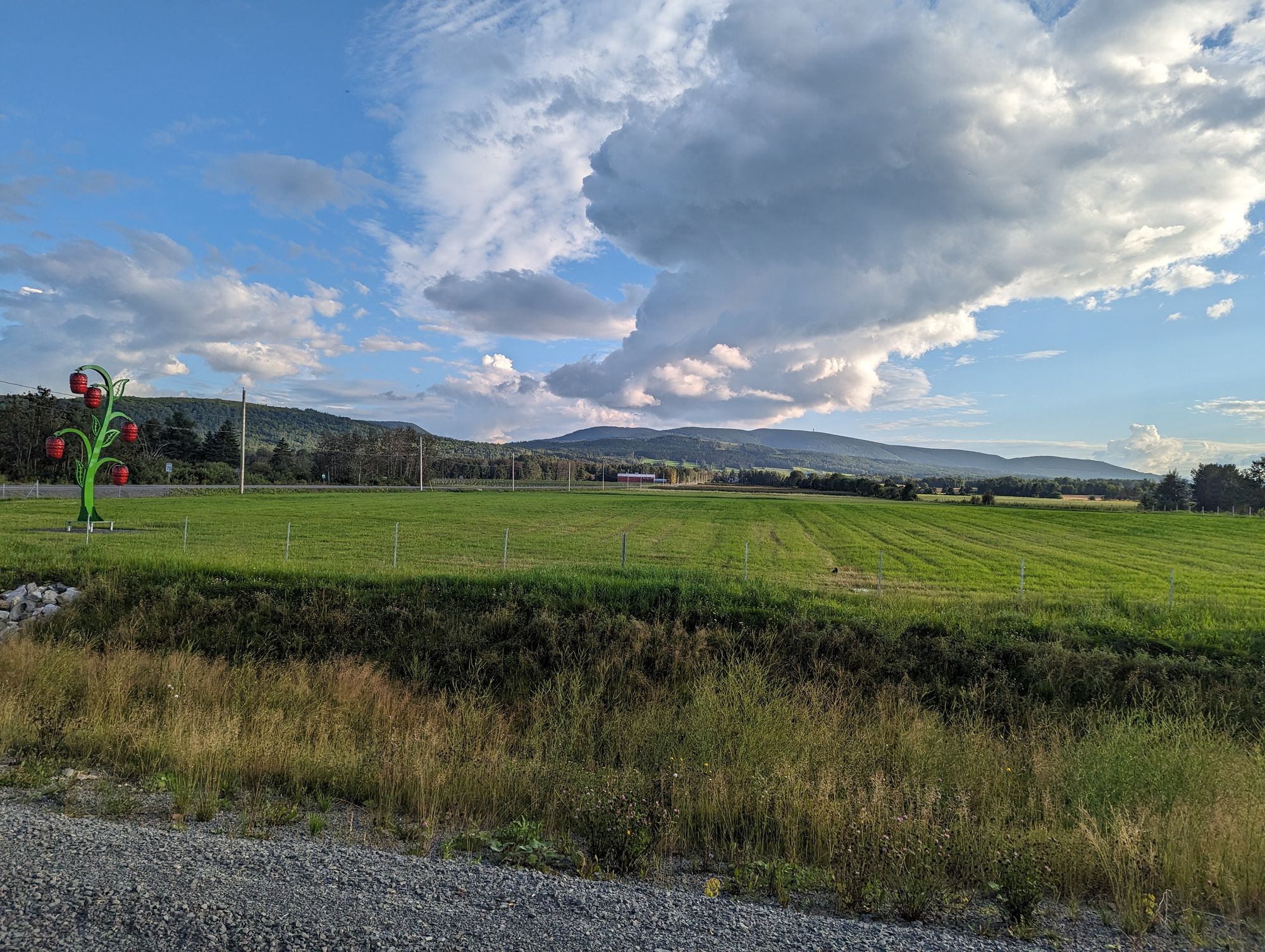
Once we'd passed through town we started through the countryside again. The day was clearing up and it had gone from overcast to cloudy with a slight tailwind. What few climbs we did afforded us spectacular views as we rode further inland and so could only catch glimpses of the river in the distance. It also became clear that we were riding through a valley as smaller hills and then small mountains rose in the distance. The wheat growing in the fields contrasted the green of the forests against long and narrow fields of gold. The mountains boxes us in on either side, but they only worked to frame the valley and we rode directly down the center of it.
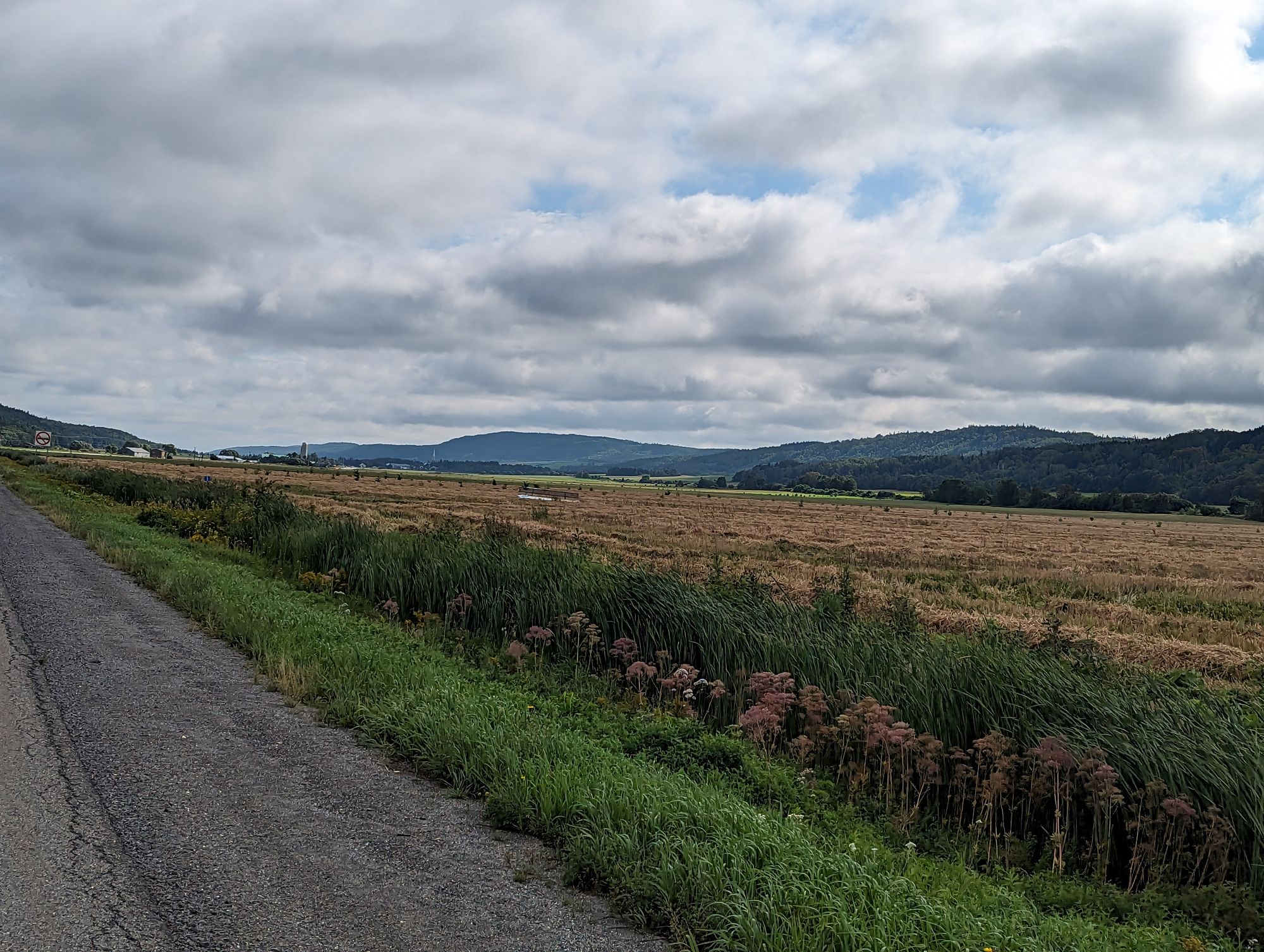
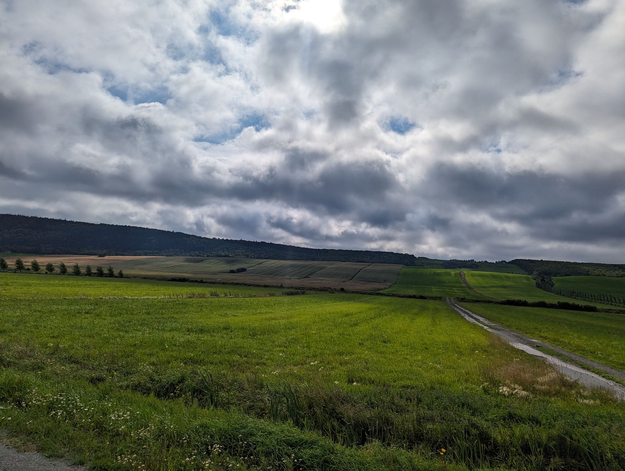
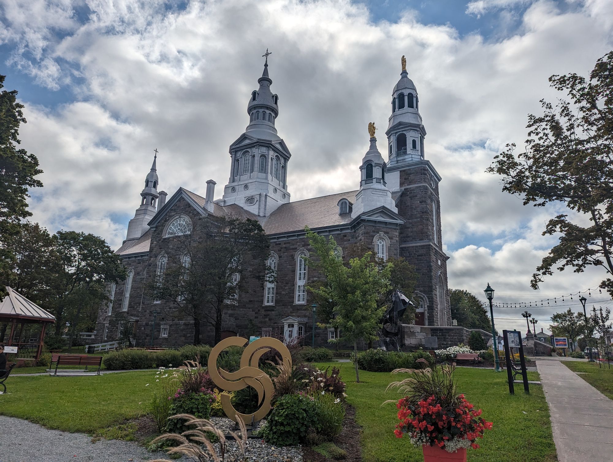
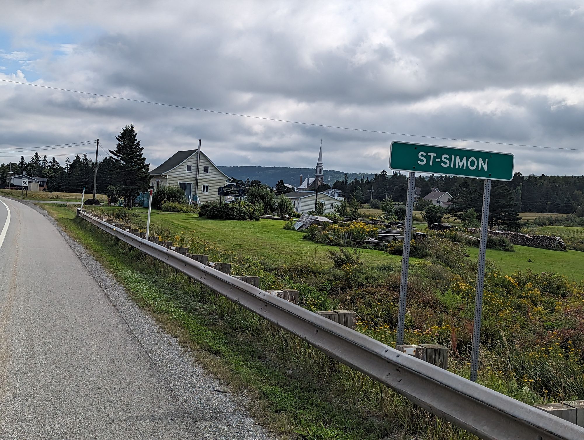
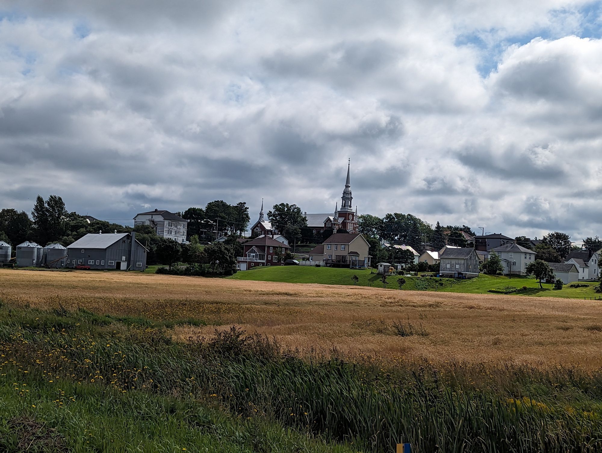
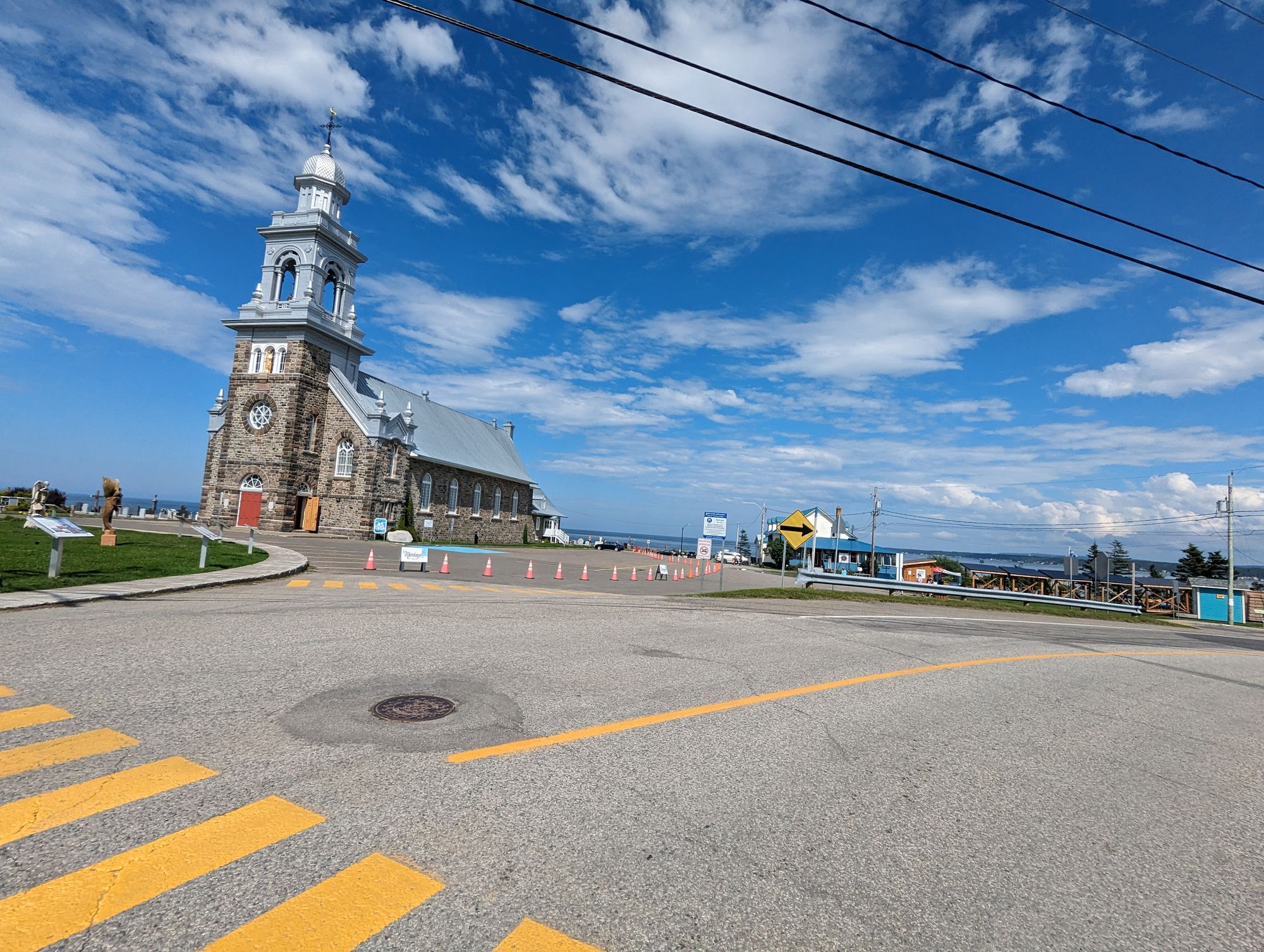
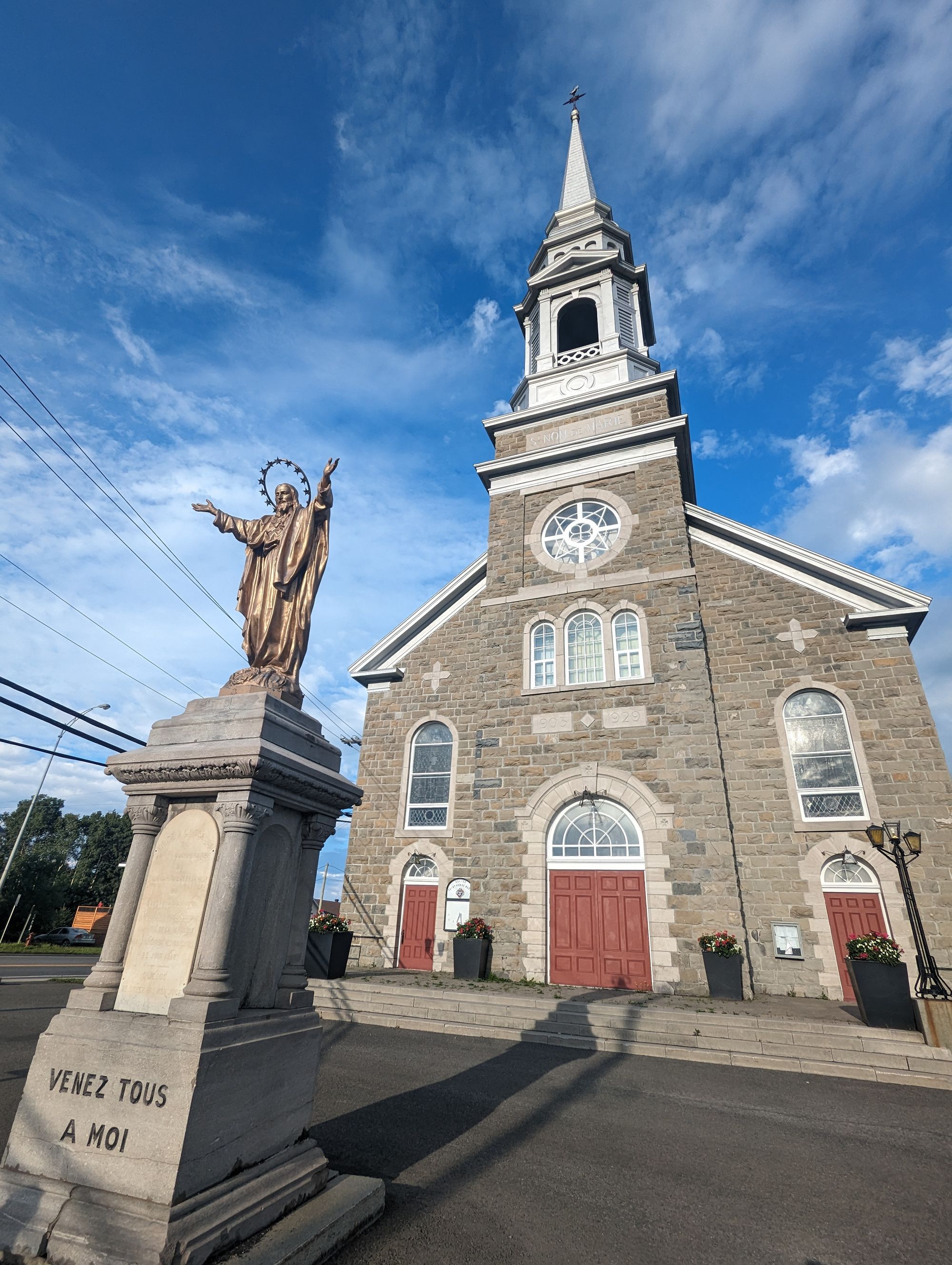
These scenes of pastoral harmony were punctuated by the odd town every 15km or so. Like the small towns with their grain elevators in Saskatchewan a few months ago, I played out a similar sort of groundhog day except the grain elevator was replaced with the towering spire of a church steeple. These towns - each of which was founded in the 1600s - was centered around a massive church that overshadowed the town and sometimes the landscape. They were always built of stone and were out of proportion with the small villages they inhabited. We'd see the spires in the distance and slowly close in on them. Then more spires in the distance that would grow larger as we approached. At other times we'd see the spires in the distance, markers of far off towns we weren't traveling to but none the less easy to pick out on the horizon. Not since biking in Normandy had I seen anything like it.
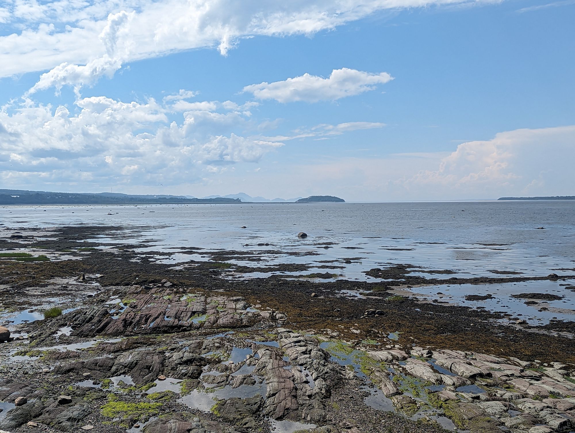
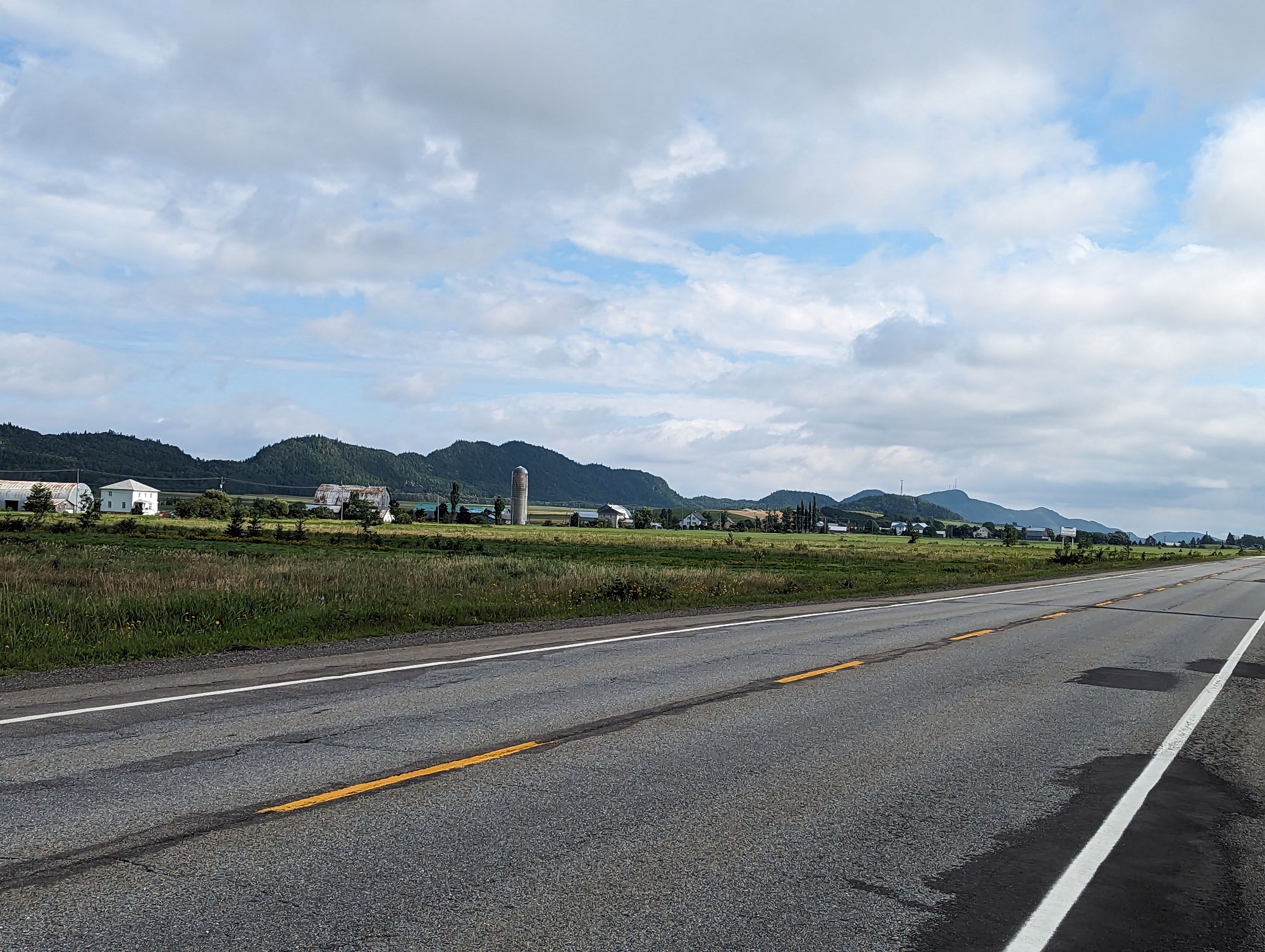
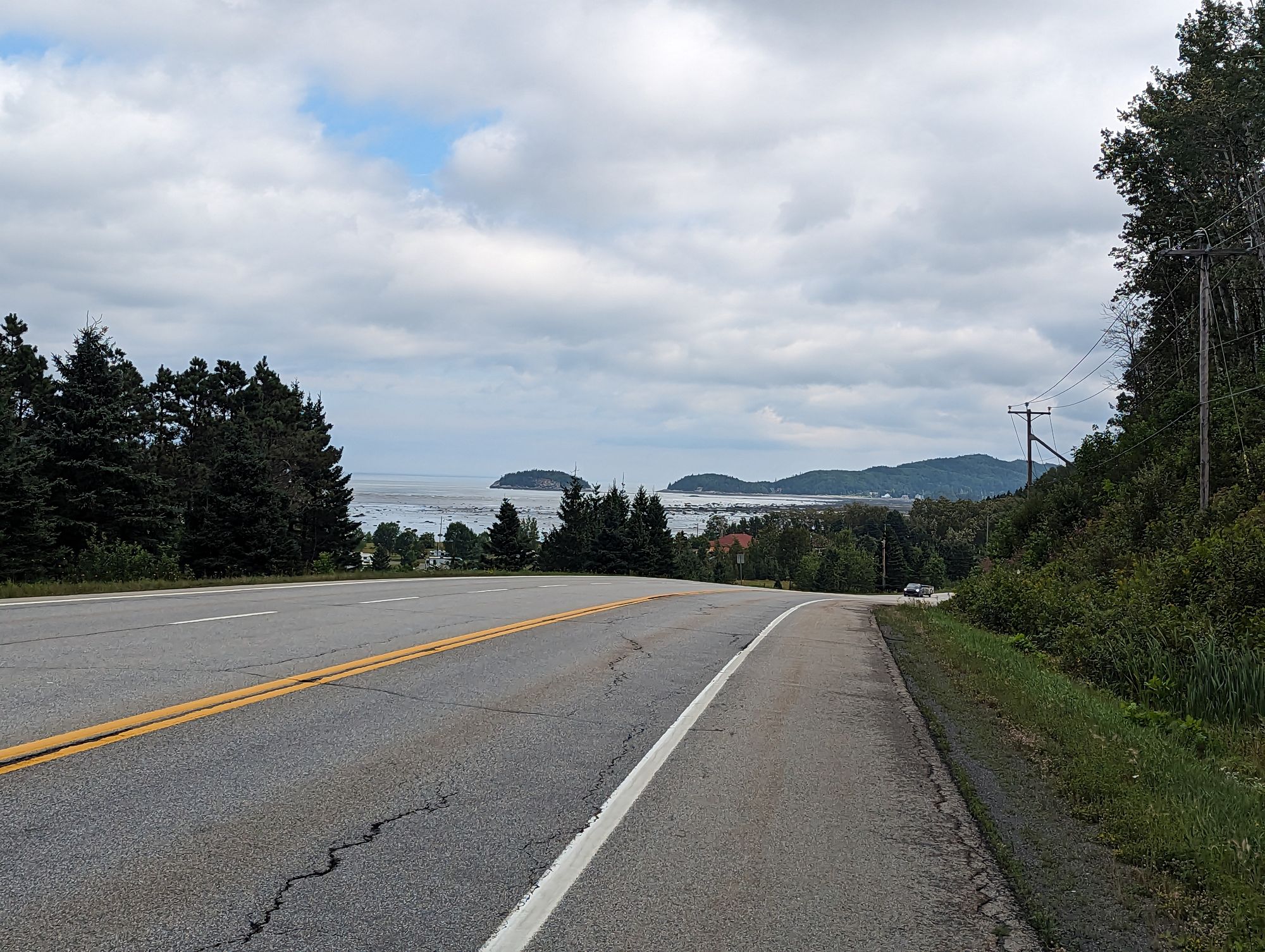
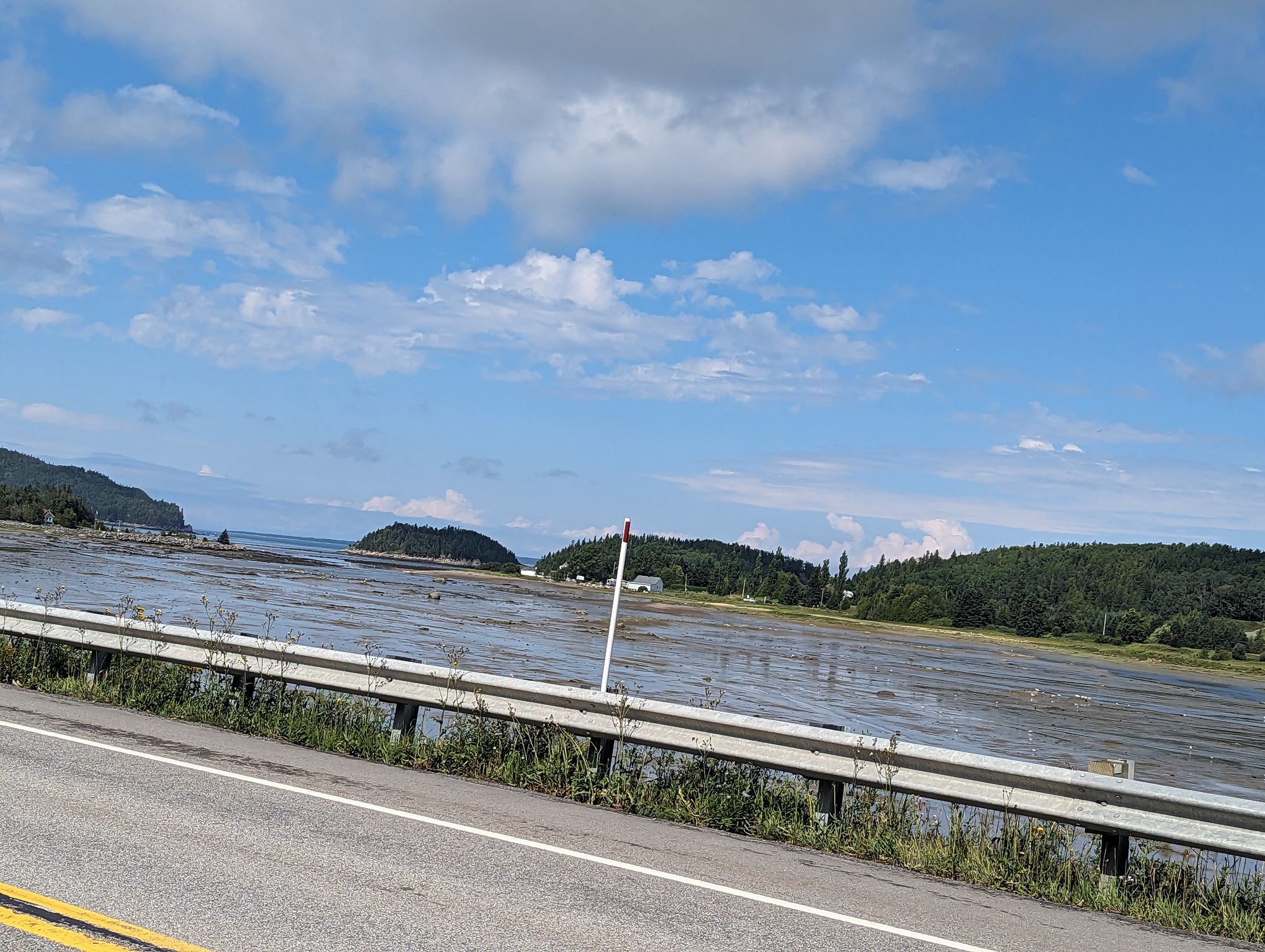
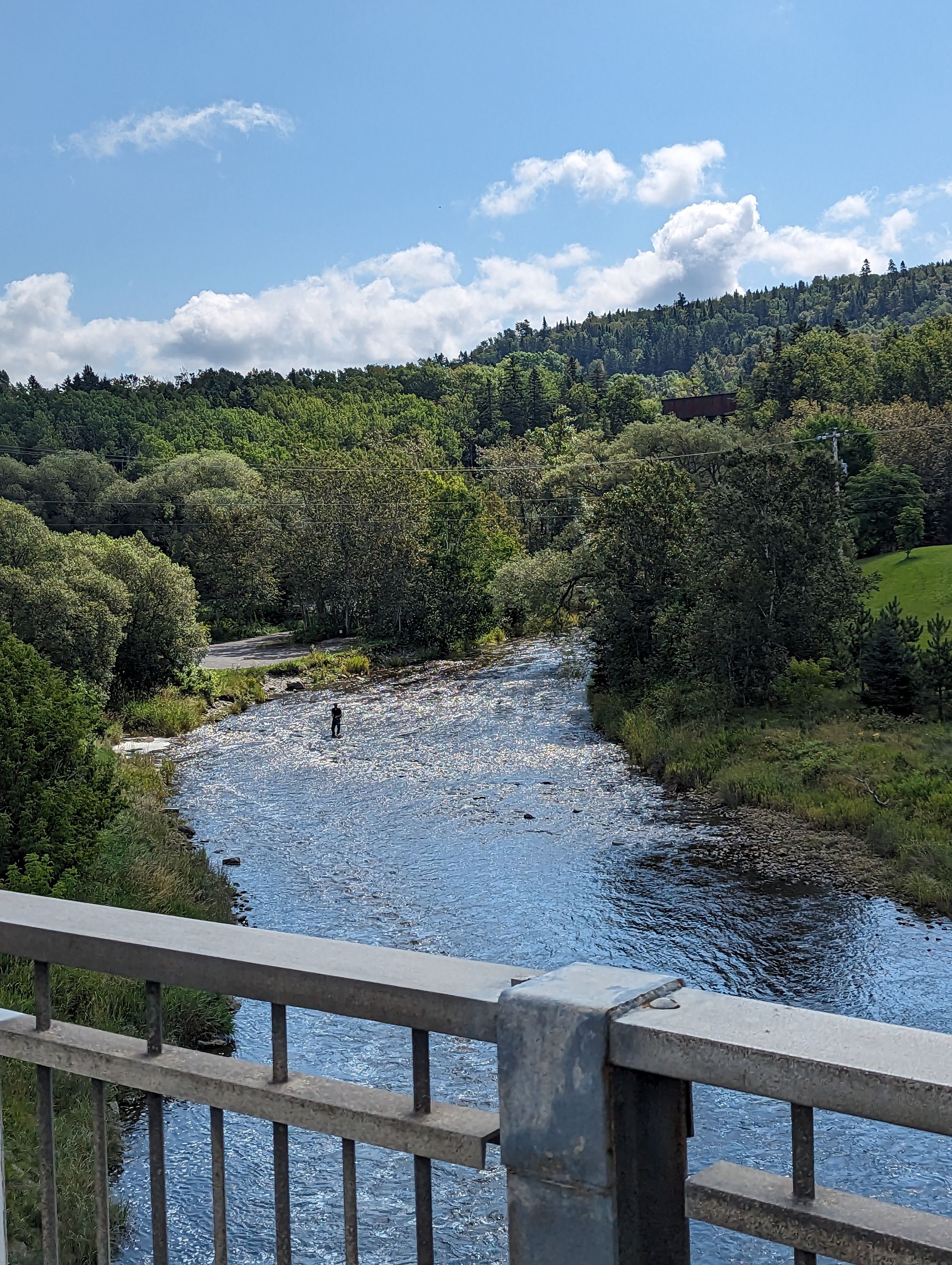
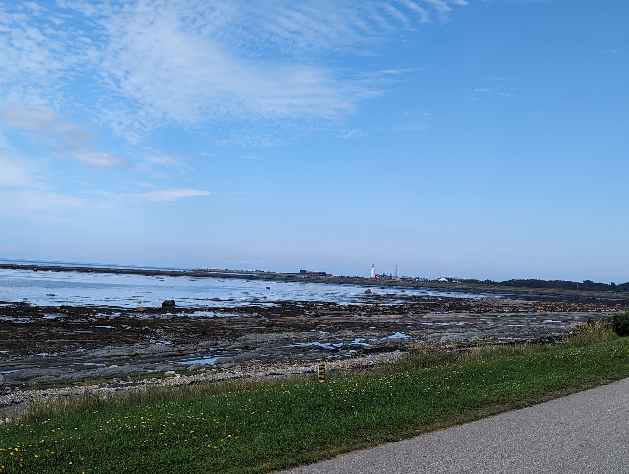
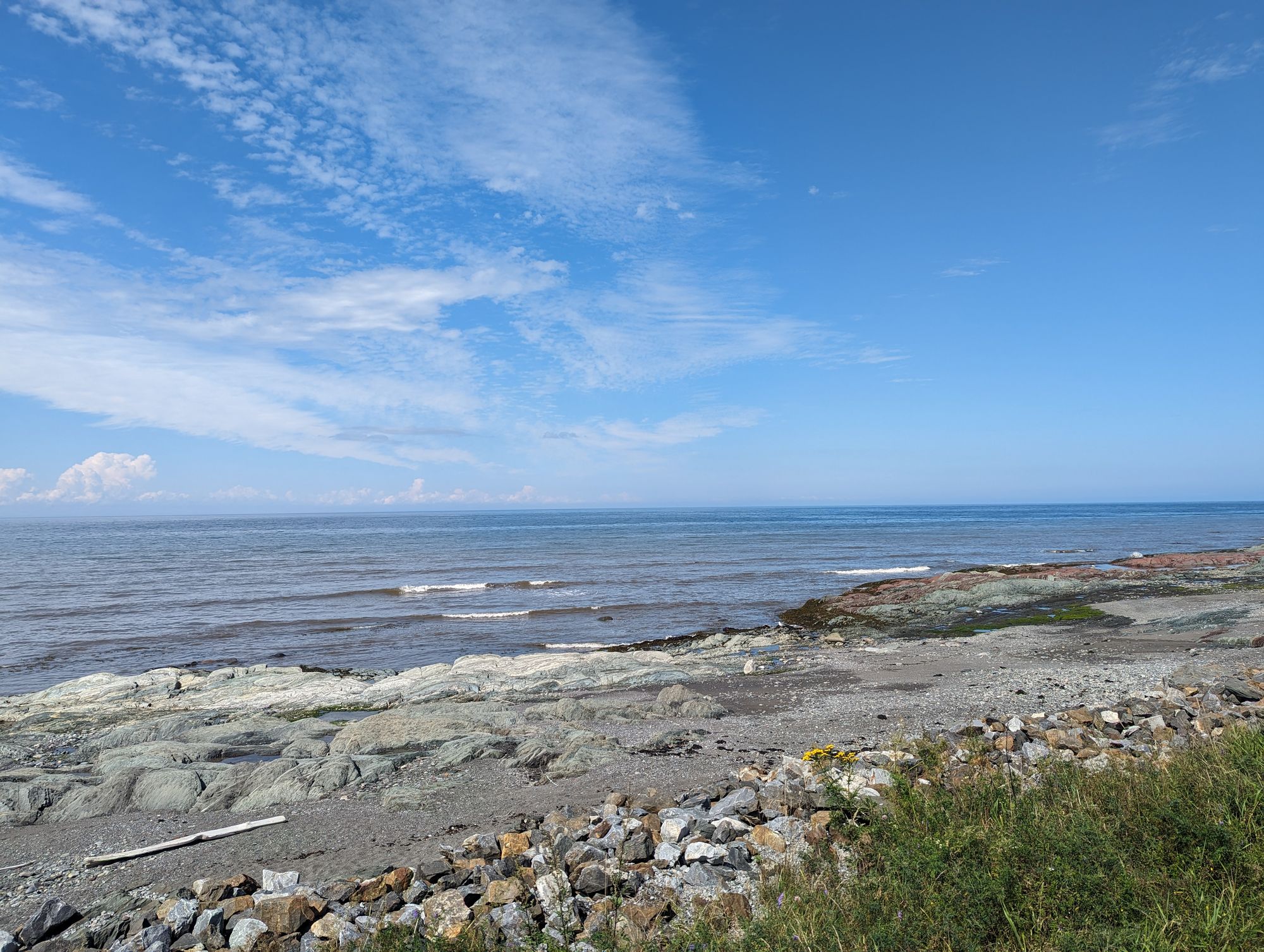
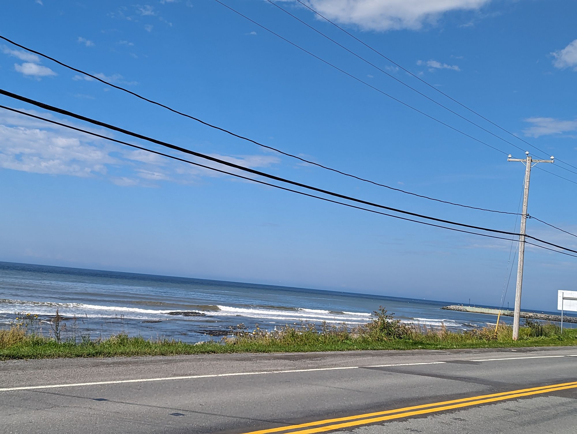
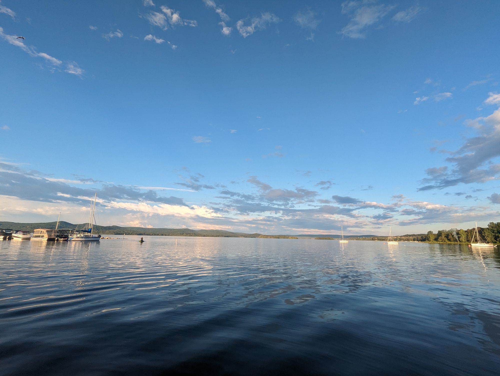
I later learned these mountains between us and the water was Bic National Park (again, a provincial park) and it stretched along the water blocking our views of the St. Lawrence. But at some point we crested a hill and the water came back into sight. We continued along the shoreline with tree covered islands just offshore and tidal flats exposed in the low tide.
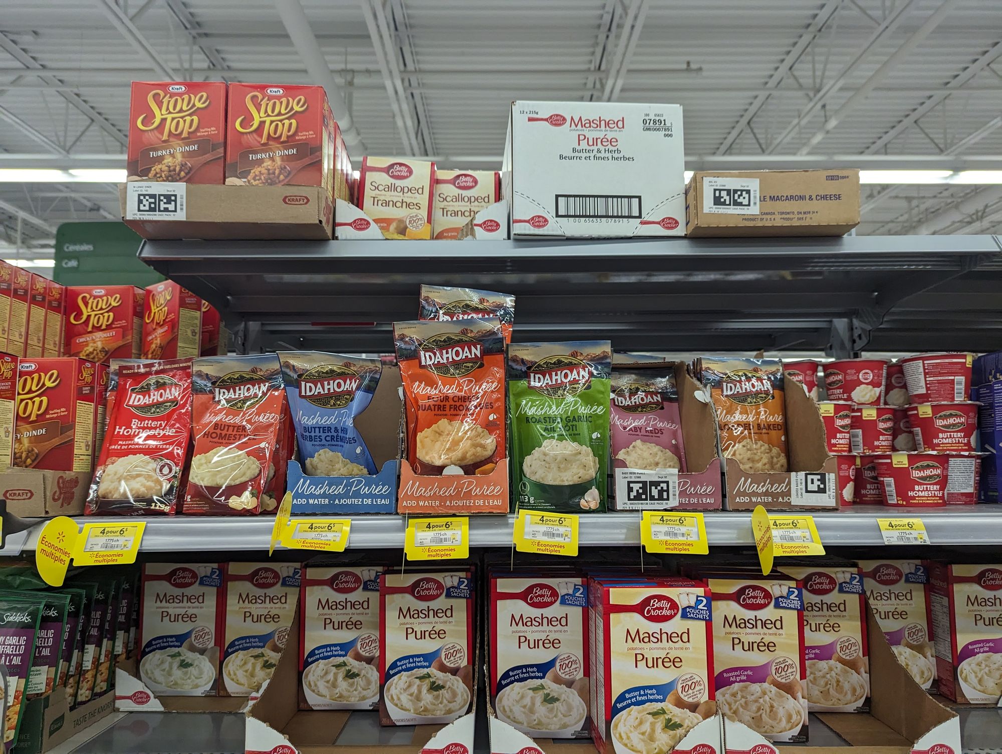
We reached the next major city after about 60km at around 11am: Rimouski, Quebec. We decided to make a stop at Wal-Mart for provisions, only to find they didn't carry a few of the things we sought. What they did have was a particular product I've been having difficulty finding and so I stocked up!
After this - being in a suburban shopping plaza - we opted for A&W for lunch. While eating I continued to research places to stay and found that the campground in Amqui, Quebec was full! But not to worry, I found another campground just 15km before Amqui with space and so we would push a long day and stop in Val-Brillant, Quebec along the shores of Lake Matapedia!
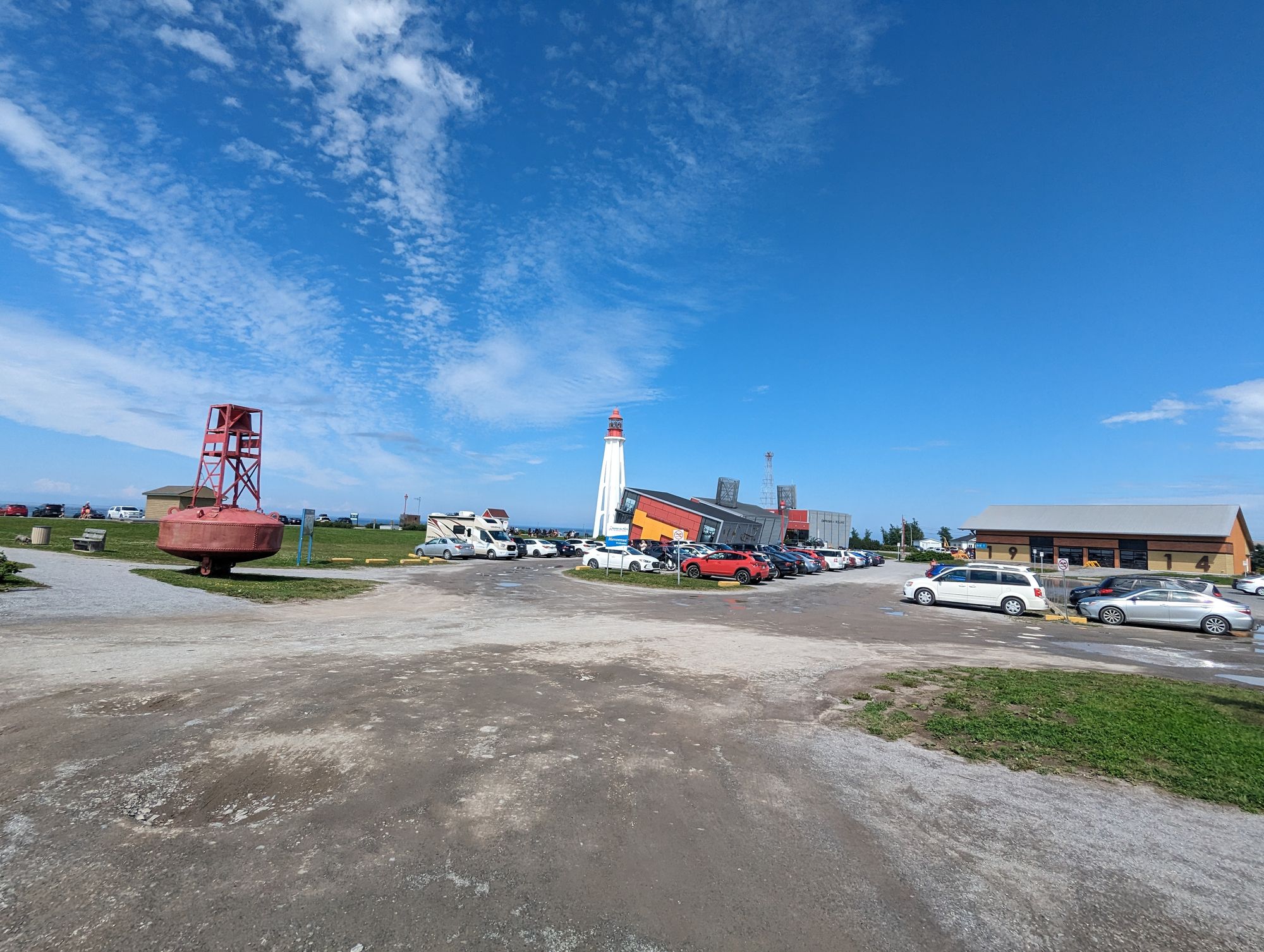
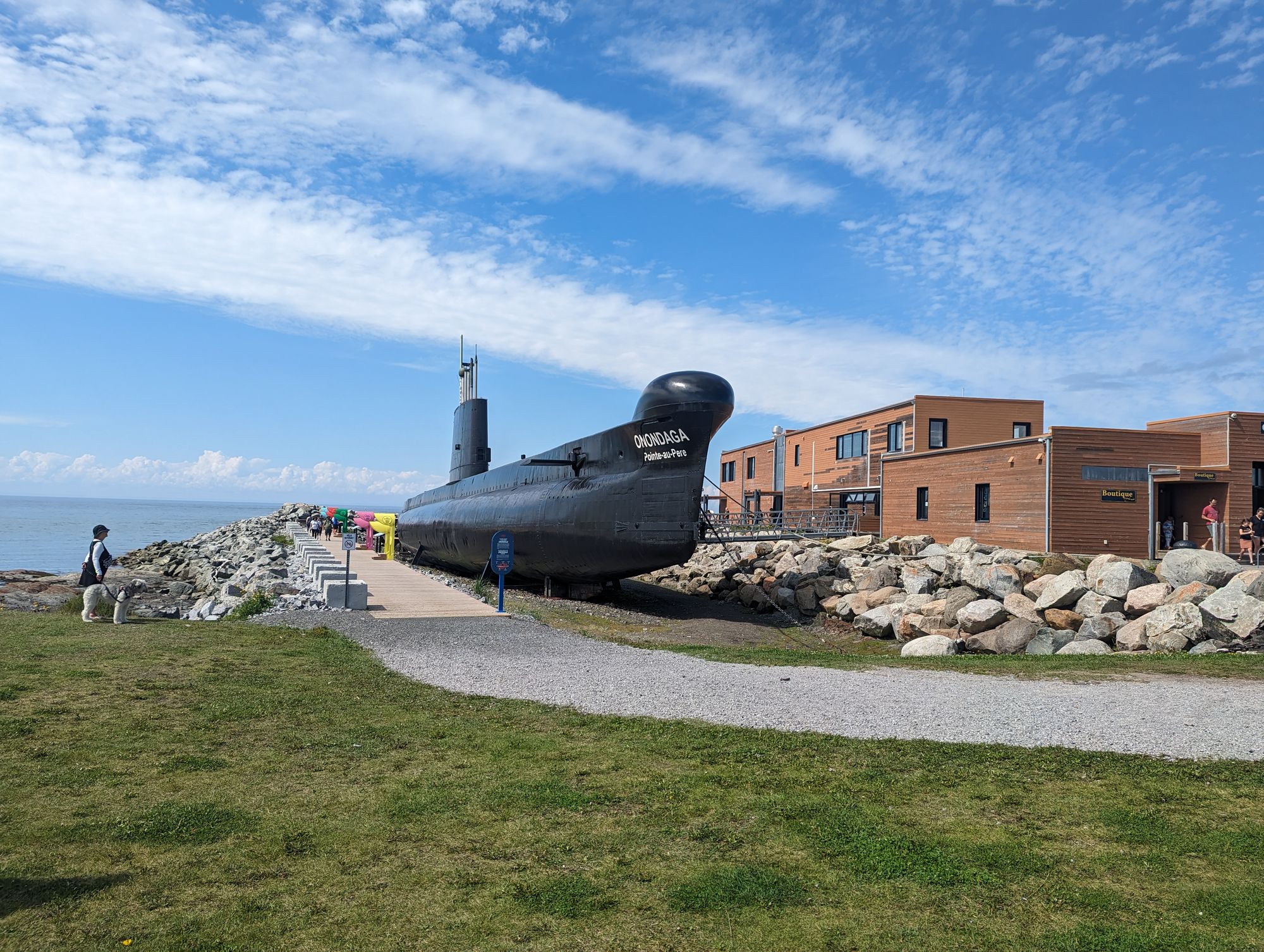
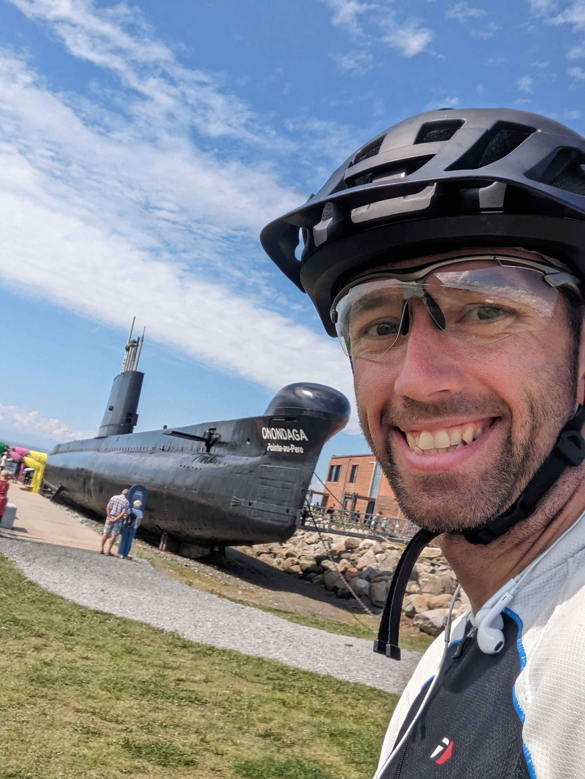
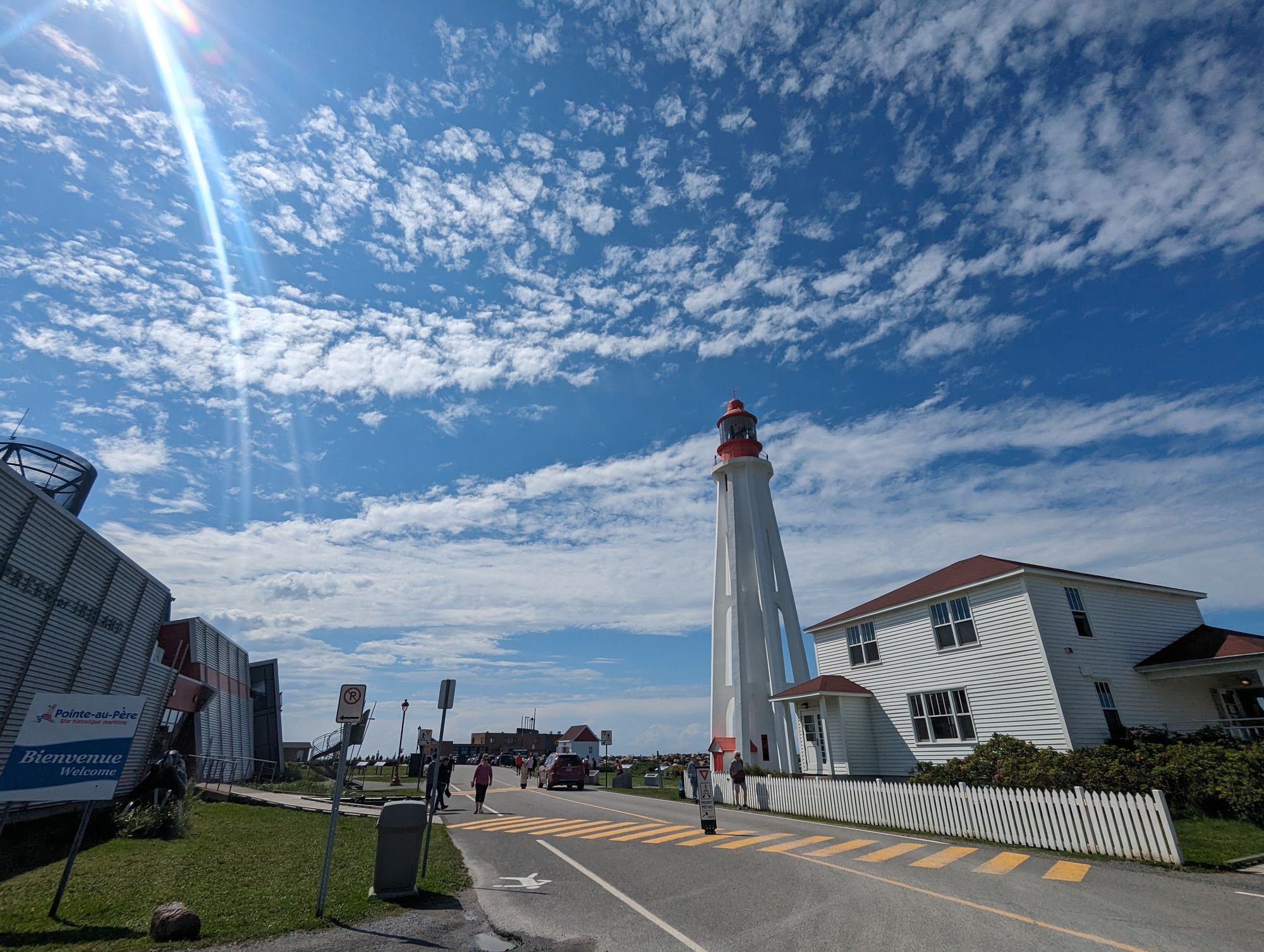
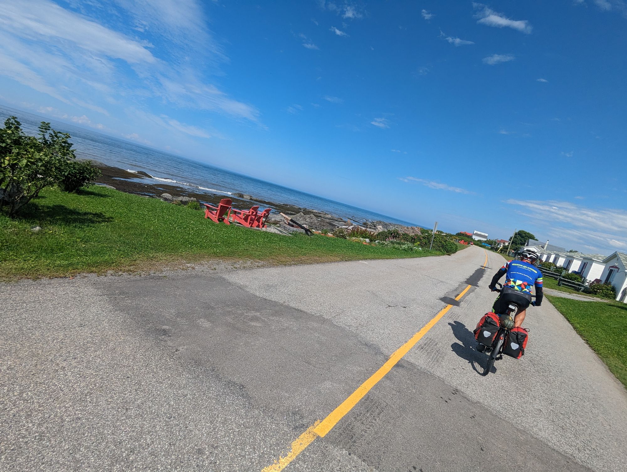
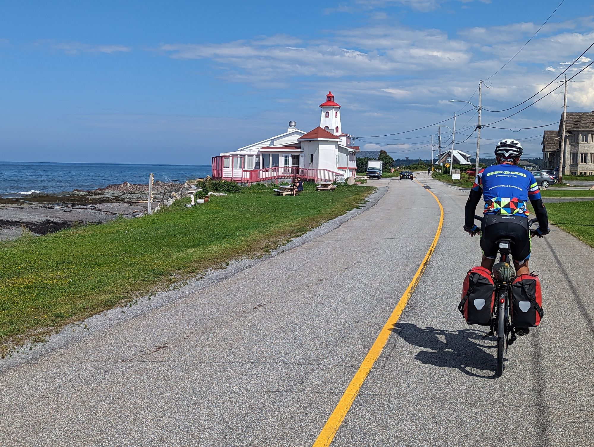
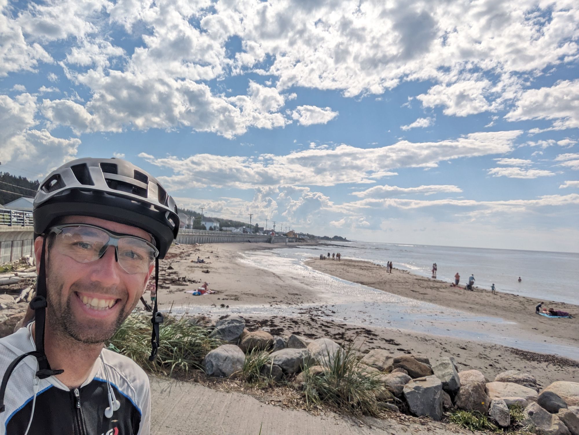
We rode back towards the water to find Highway 132 and when we found it I noticed that there was a pathway next to the highway. We jumped on the paved pathway that paralleled this busy section of road and got to ride directly next to the water! We passed beautiful coastline and plenty of fishing boats. This area is salt water and fishing is becoming a noticeably bigger part of life in this area. In the distance I could see a lighthouse sitting on a point of land and what looked like...a submarine? That didn't make sense to me, and so we continued in that direction.

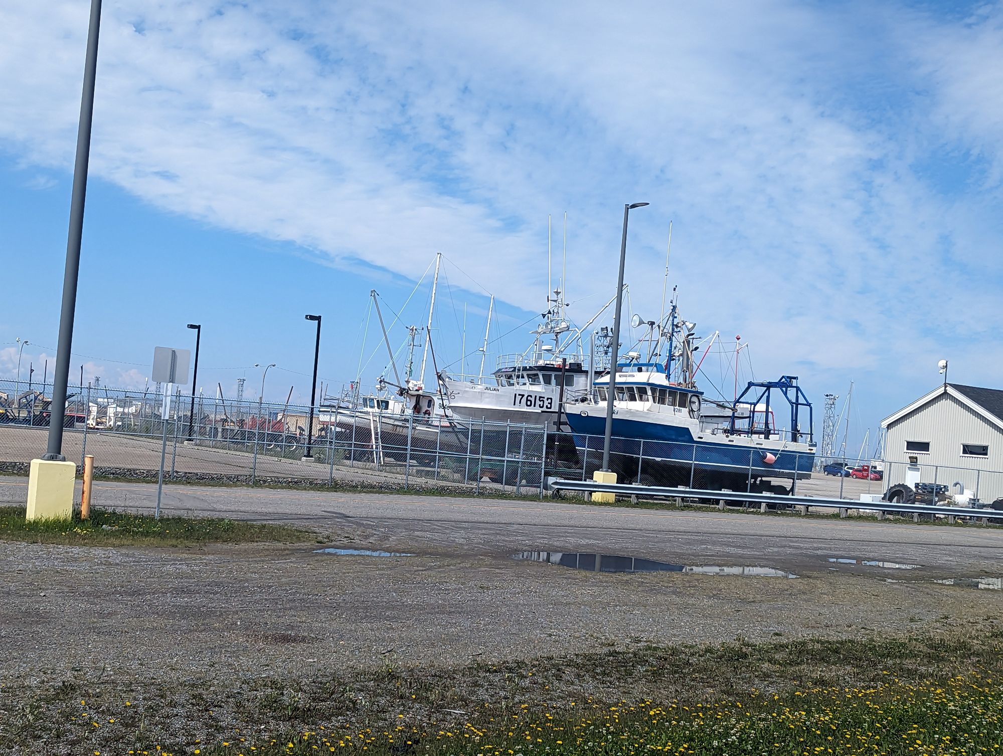
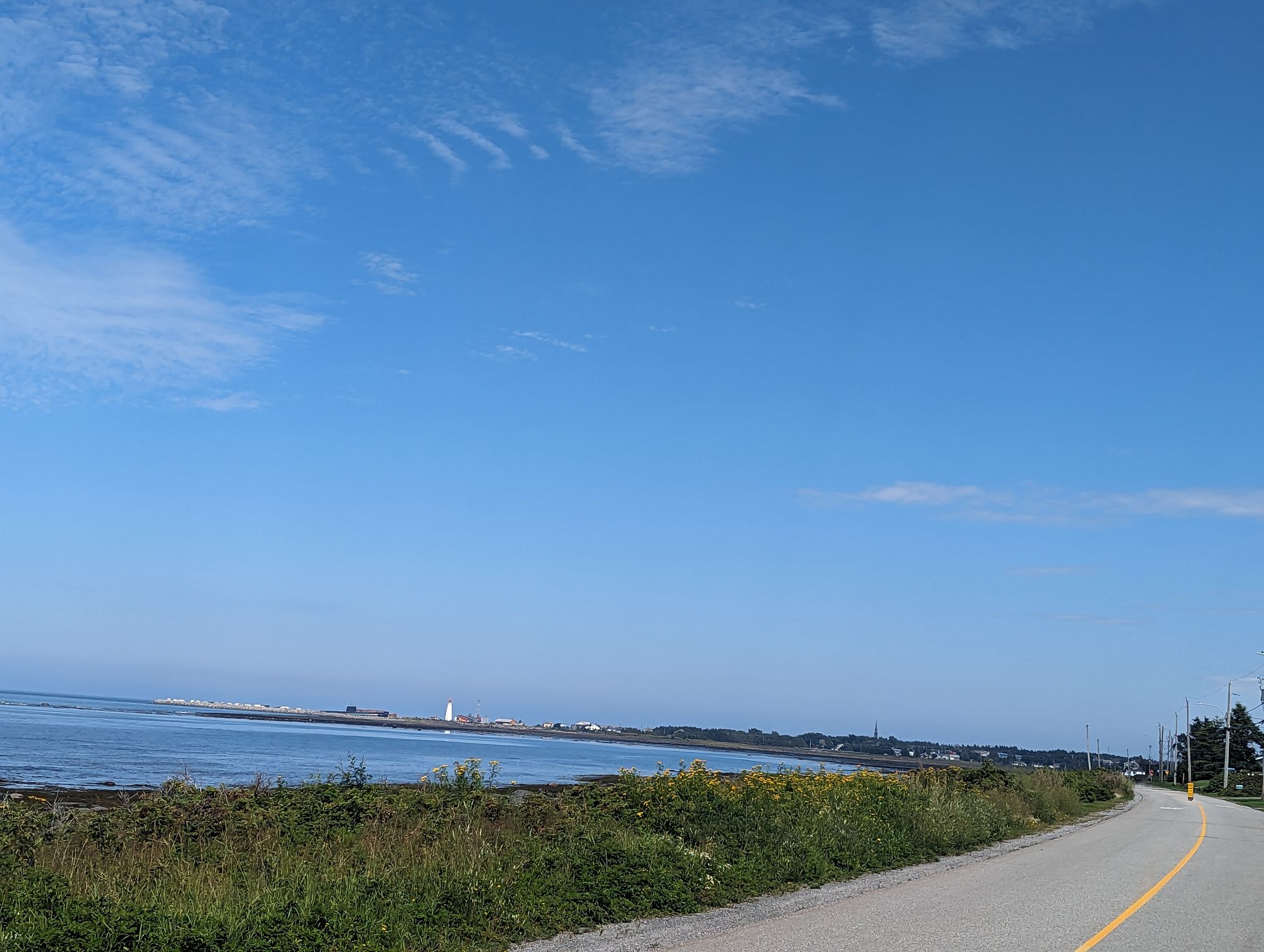
Eventually we reached the lighthouse and found...a submarine! Sure enough it's a museum ship! The Onondaga served the Canadian Navy from 1967 until 2000 when it was towed here and became a museum ship (it actually rolled over at one point when they tried to bring it up on land here). Unfortunately we'd set ourselves an aggressive goal for the day and couldn't visit it, but I put it on the list of places to come back to!
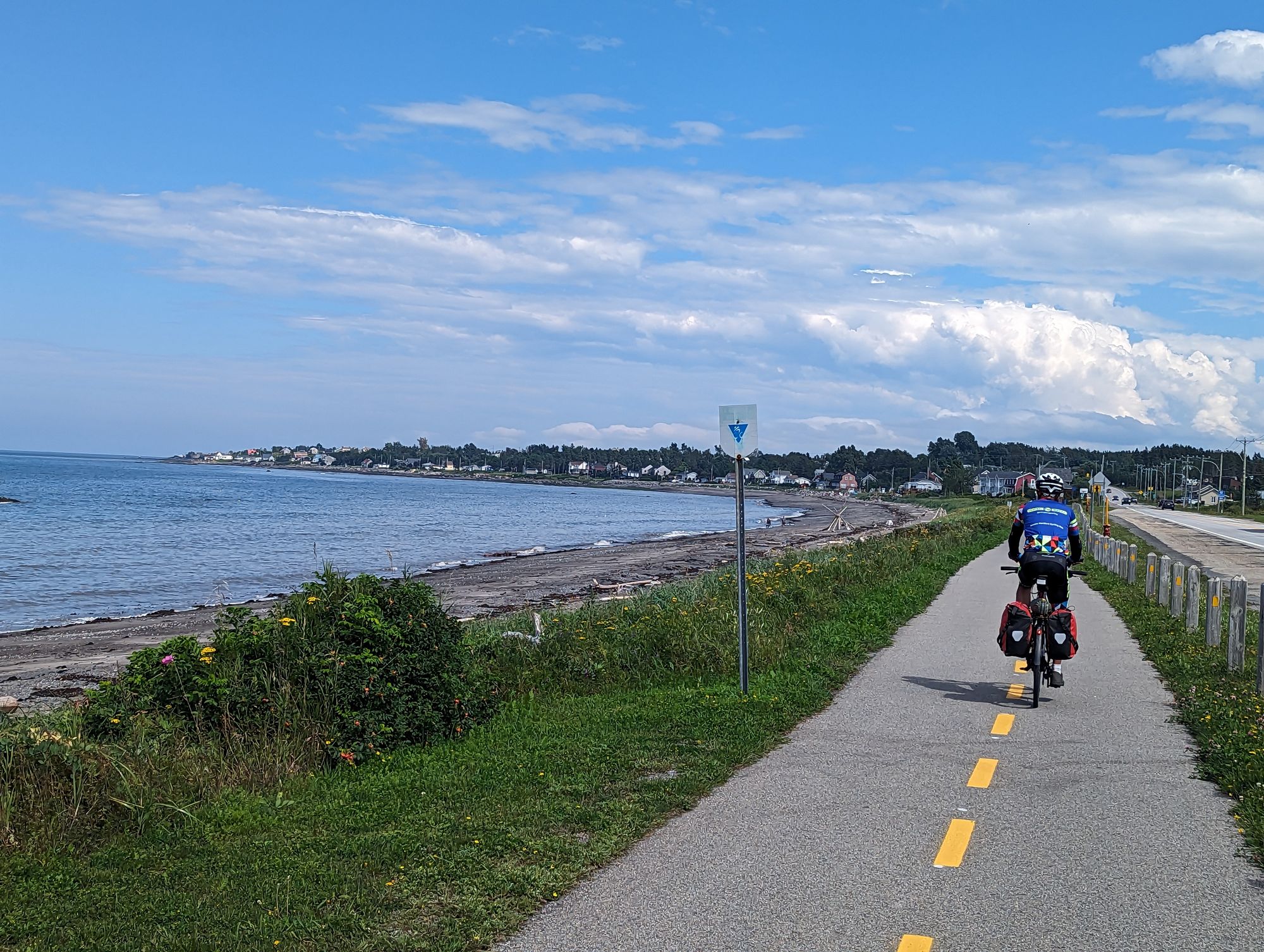
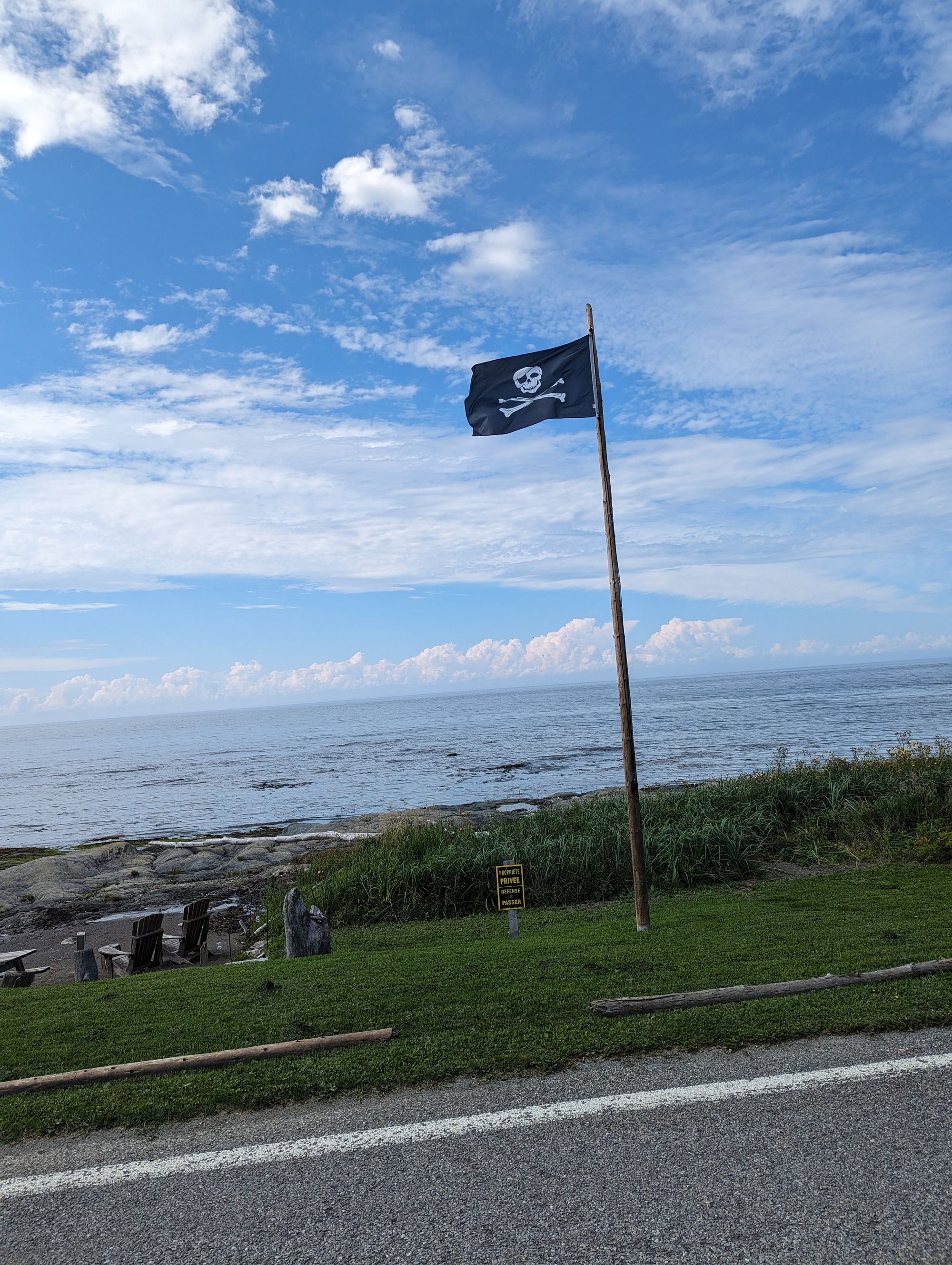
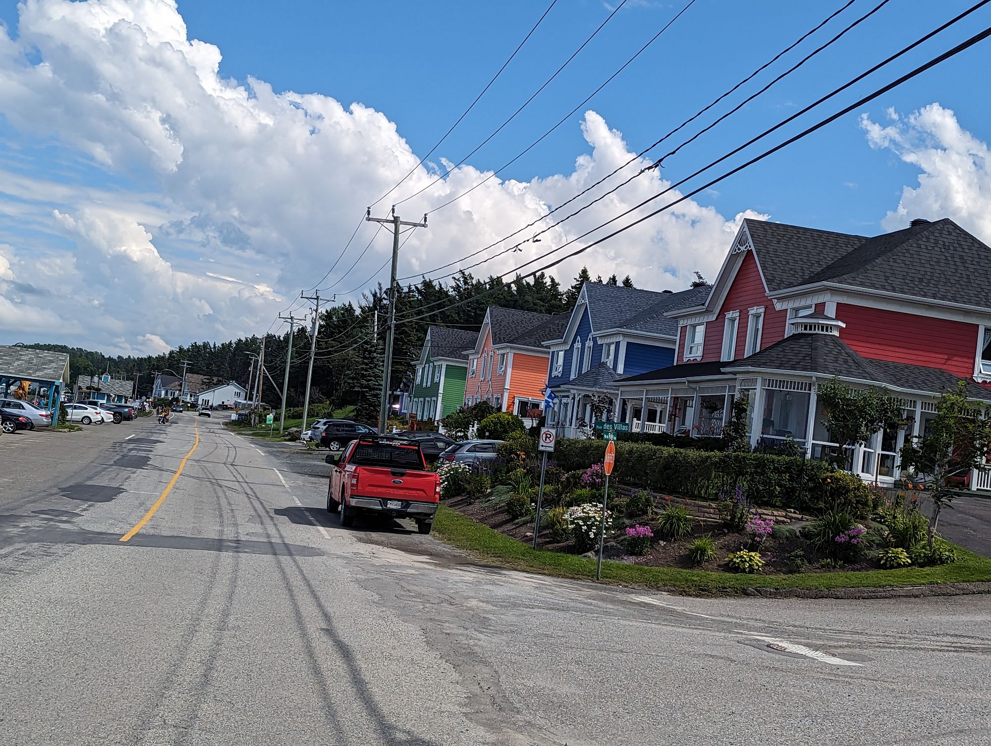
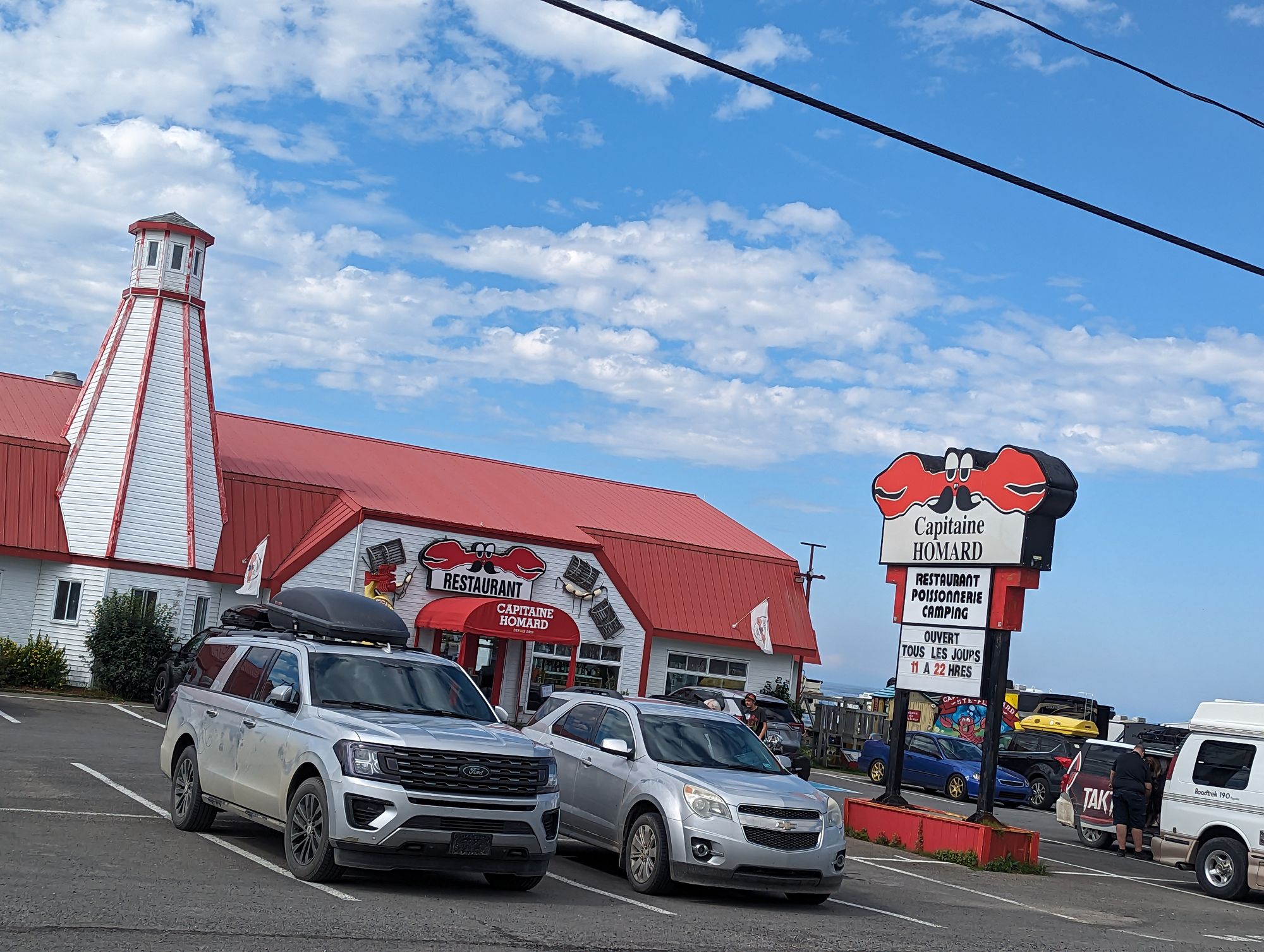
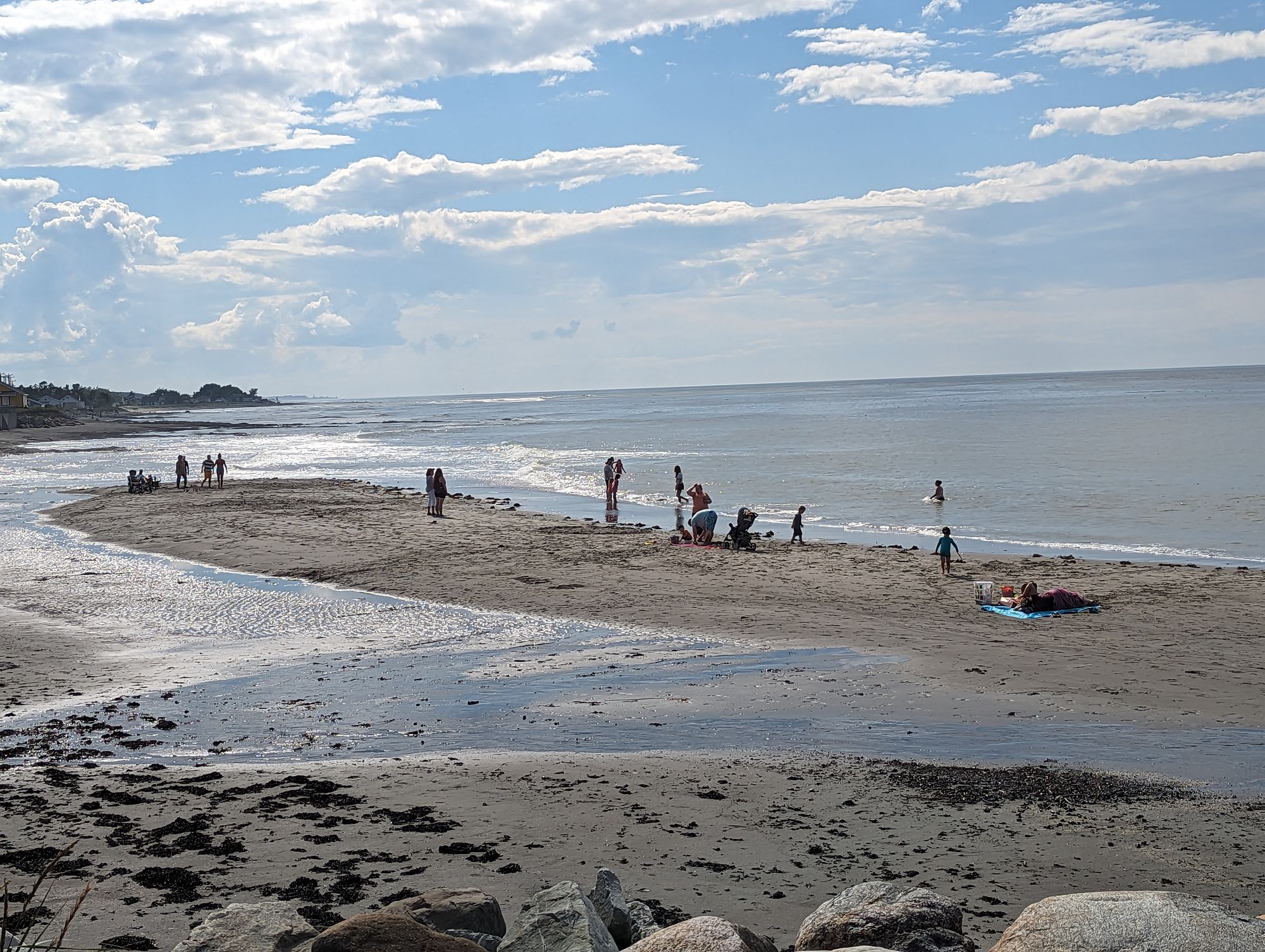
We rode away and followed roads that ran along the water and through small touristy spots that gave people waterfront views, beach access, and cool breezes. This ride along the water was a real treat and offered up some of the most spectacular views we'd had for a while now.
Eventually we reached the highway again and turned back onto the main road toward Mont-Joli.
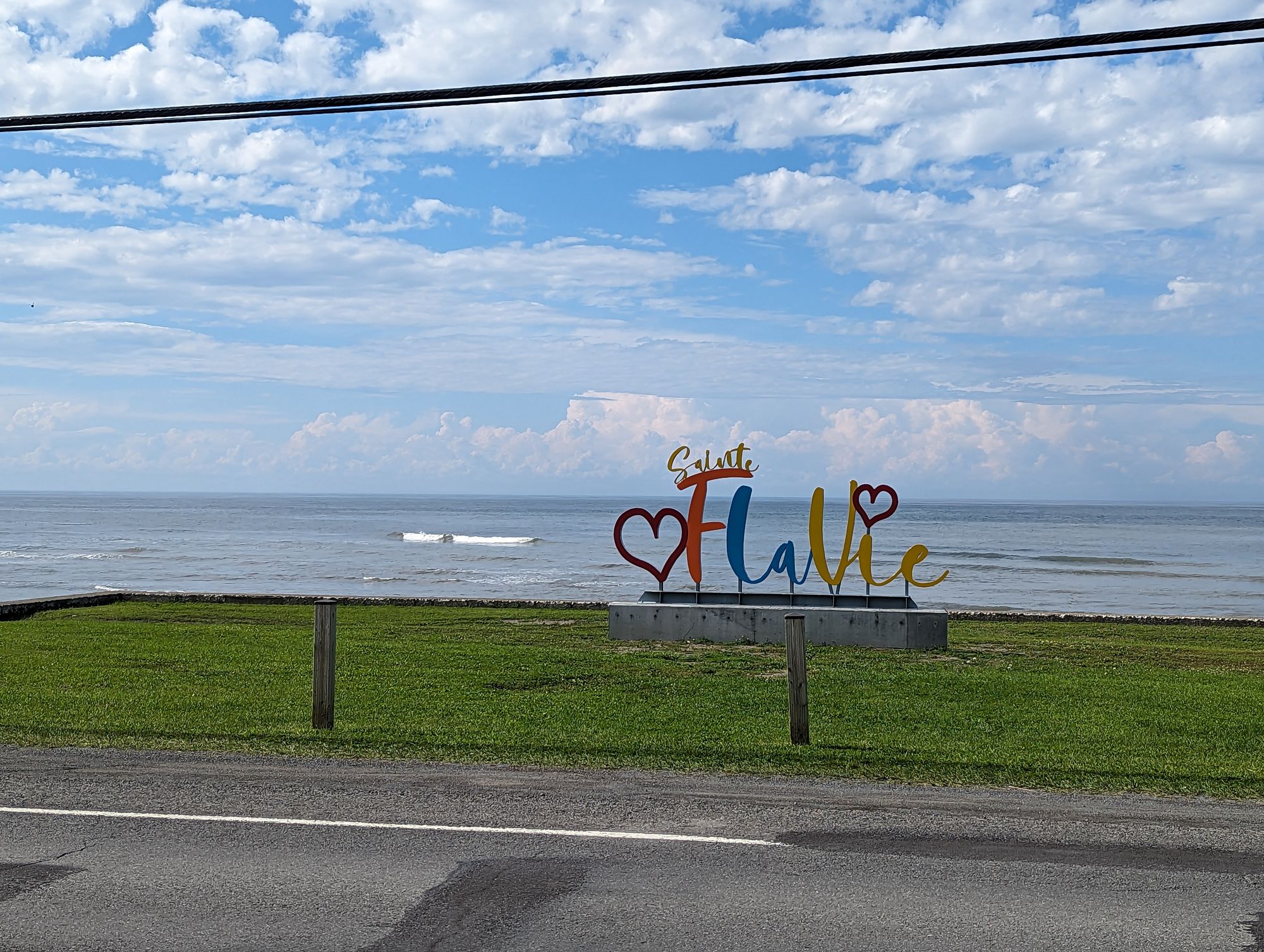
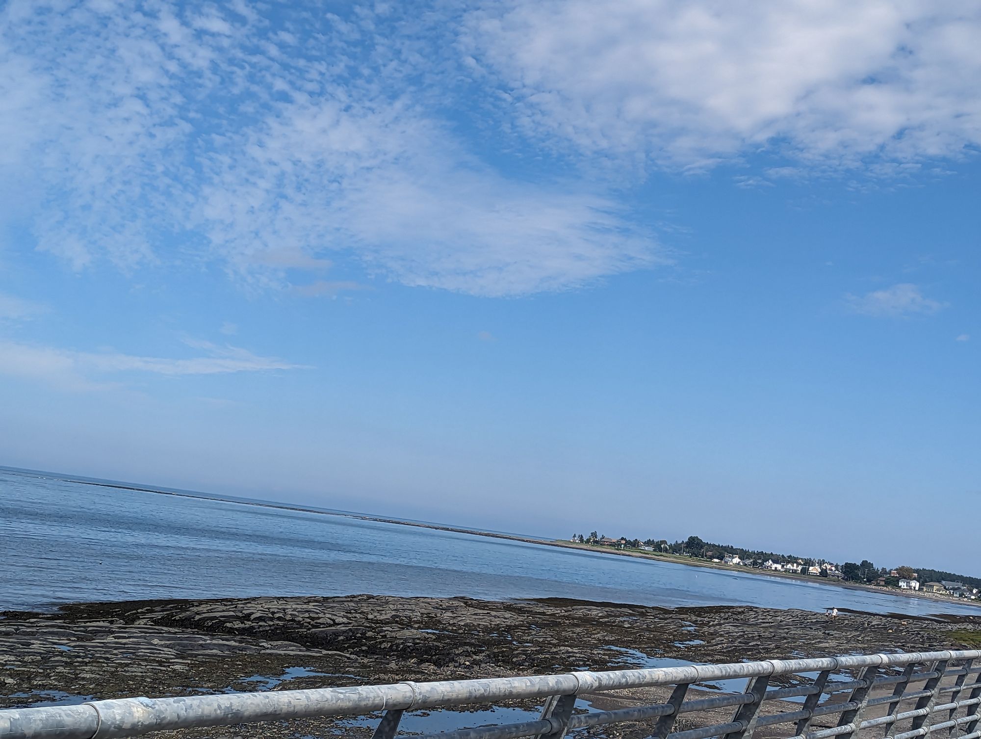
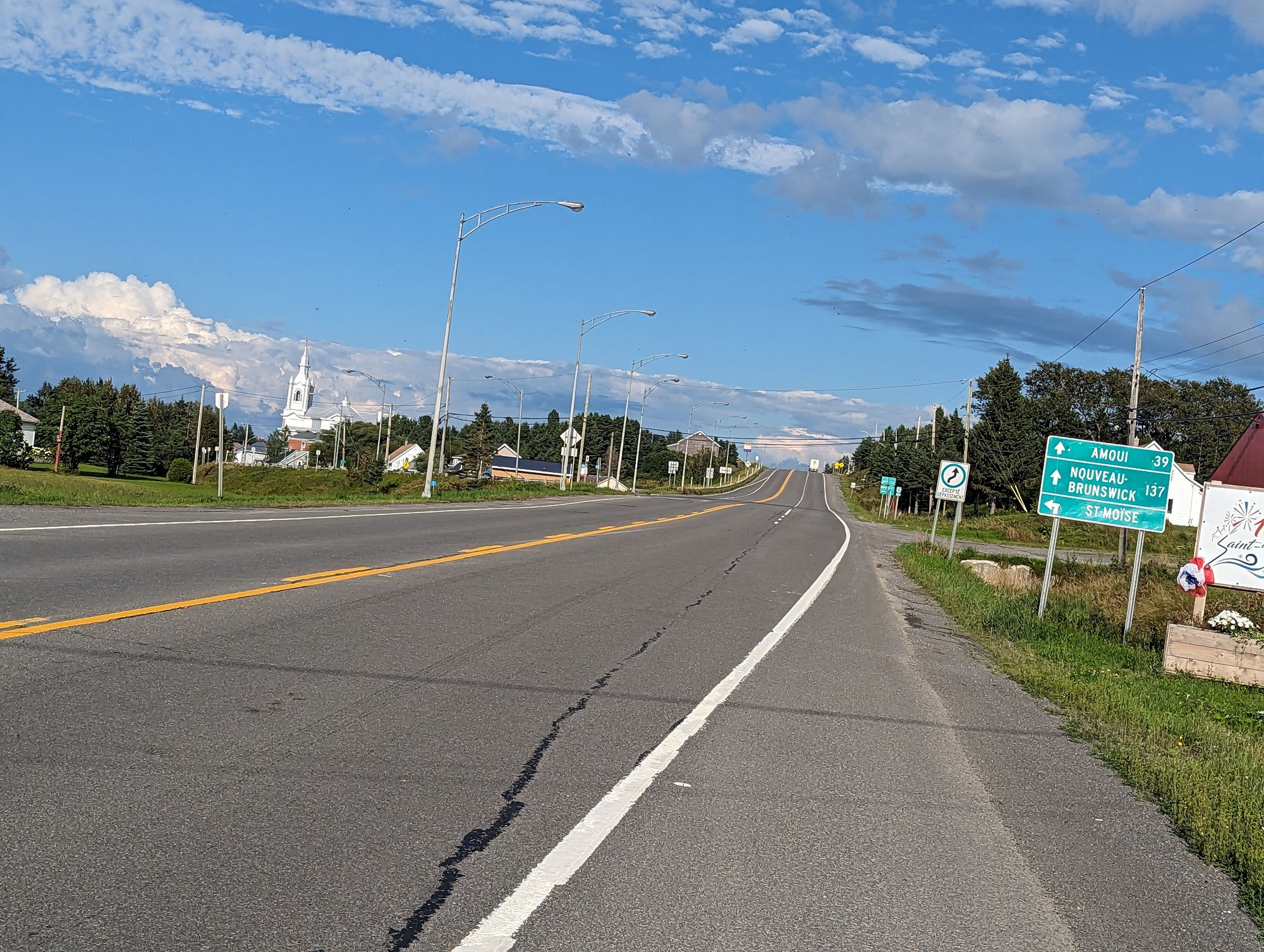
We passed more local sights and reached Saint-Flavie. This was the spot we had to make our turn back inland and cross over the Gaspe Peninsula. It meant saying goodbye to the St. Lawrence River and this was a tough fact to accept because it had been so incredible to ride along for three days. We snapped some photos at the beach and I said goodbye to the St. Lawrence and this chapter of the journey. Time to get over the peninsula and start the Maritime chapter of the trip!
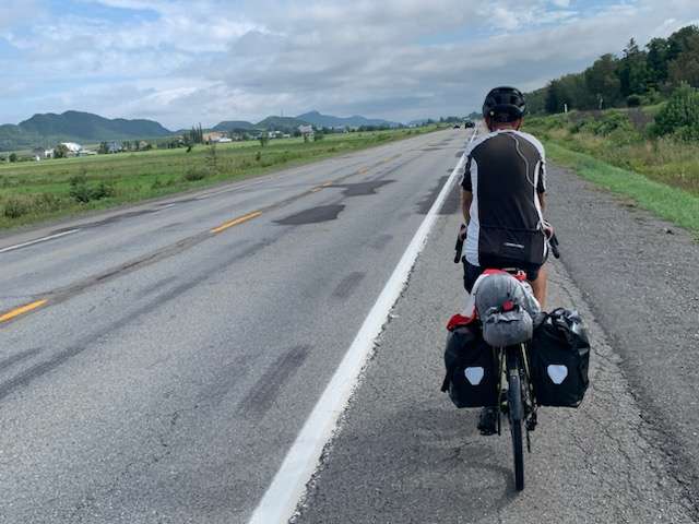
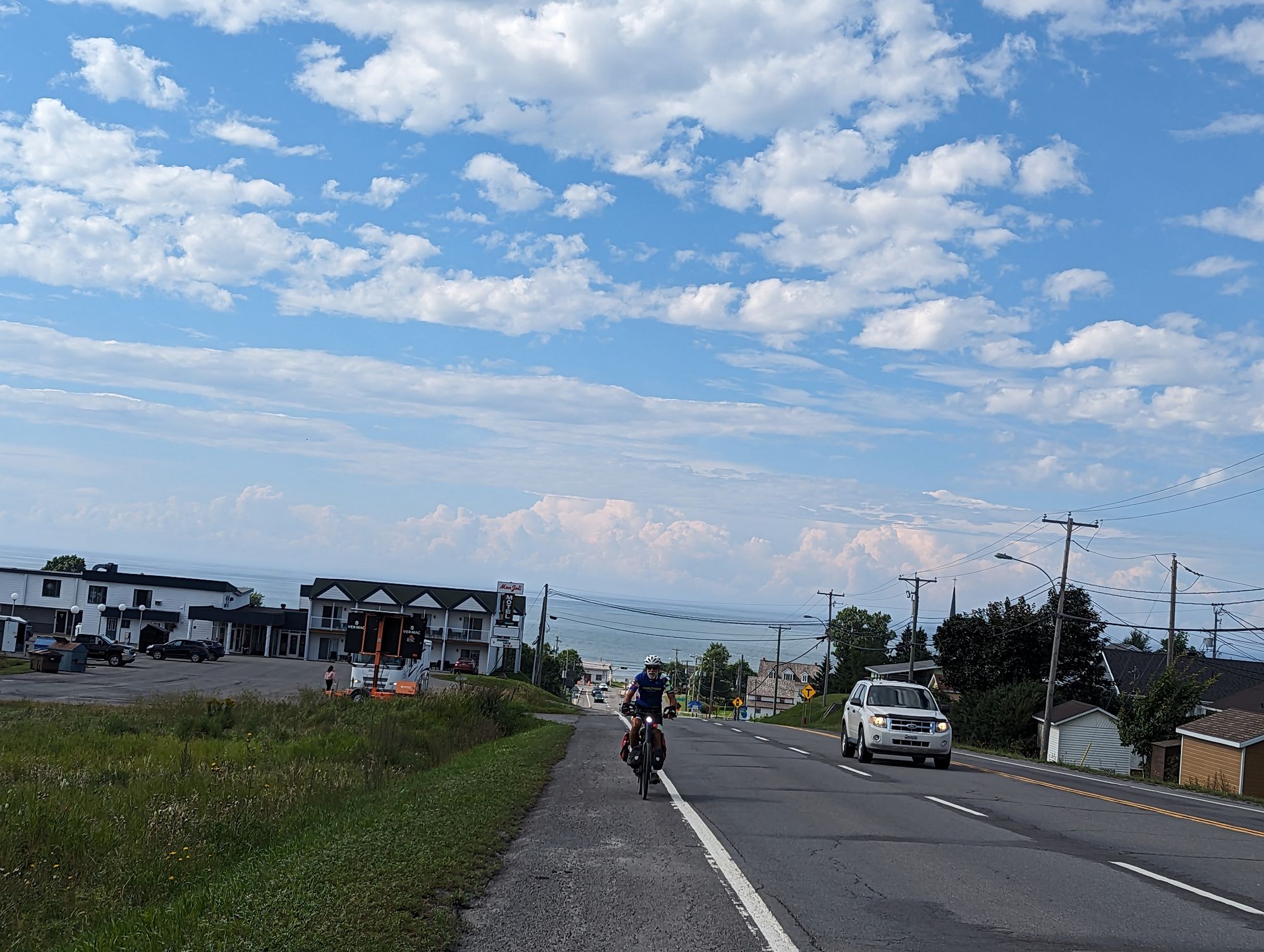
We turned inland and passed through Mont-Joli without stopping. We still had 60km to go and it was after 2:30pm. We could make the campground by 5:30-6pm if we were diligent but it's never fun to finish late in the day. It means scrambling to setup your tent, eat, shower, and you miss out on time to relax and explore. We rode on.
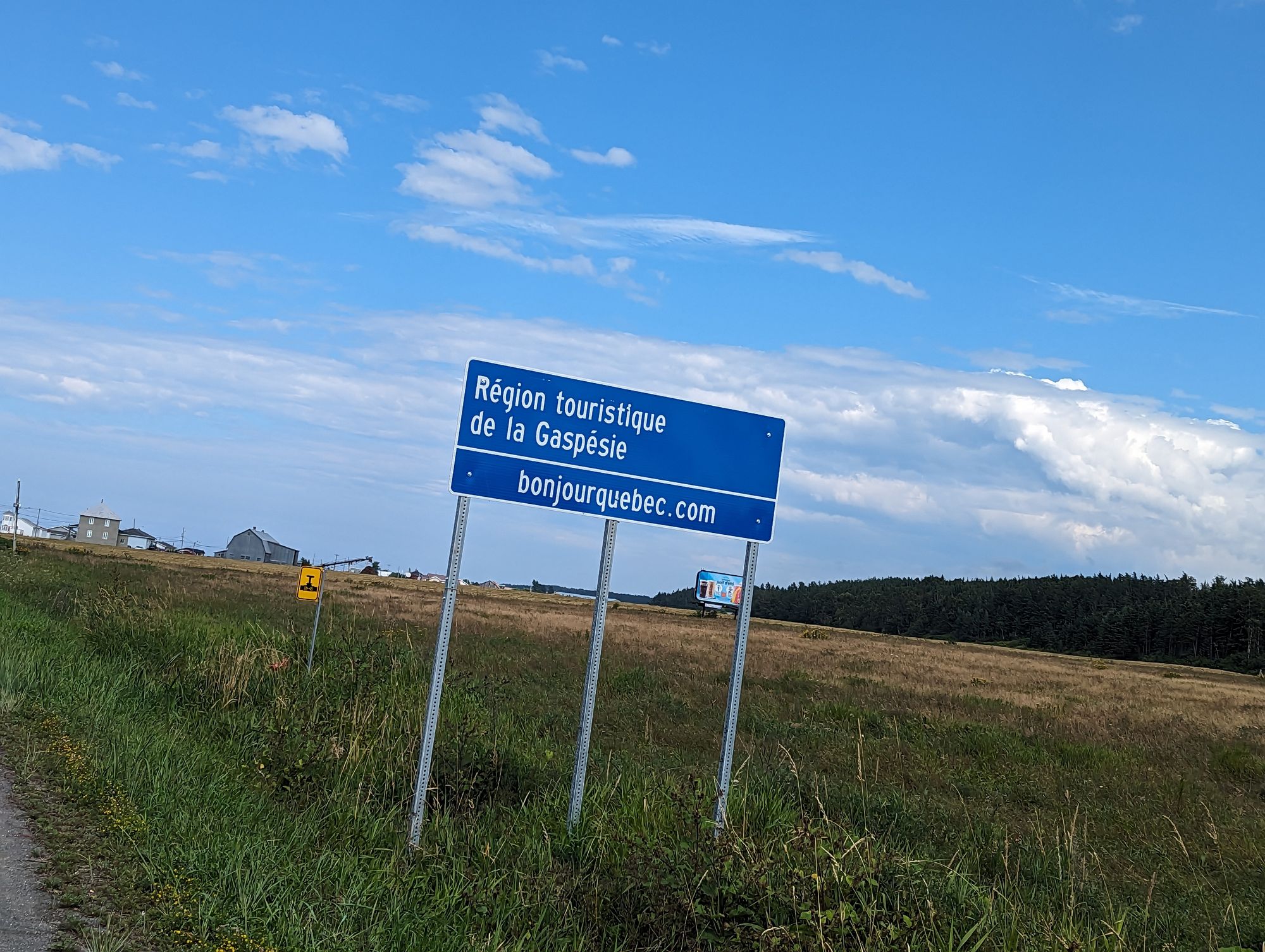
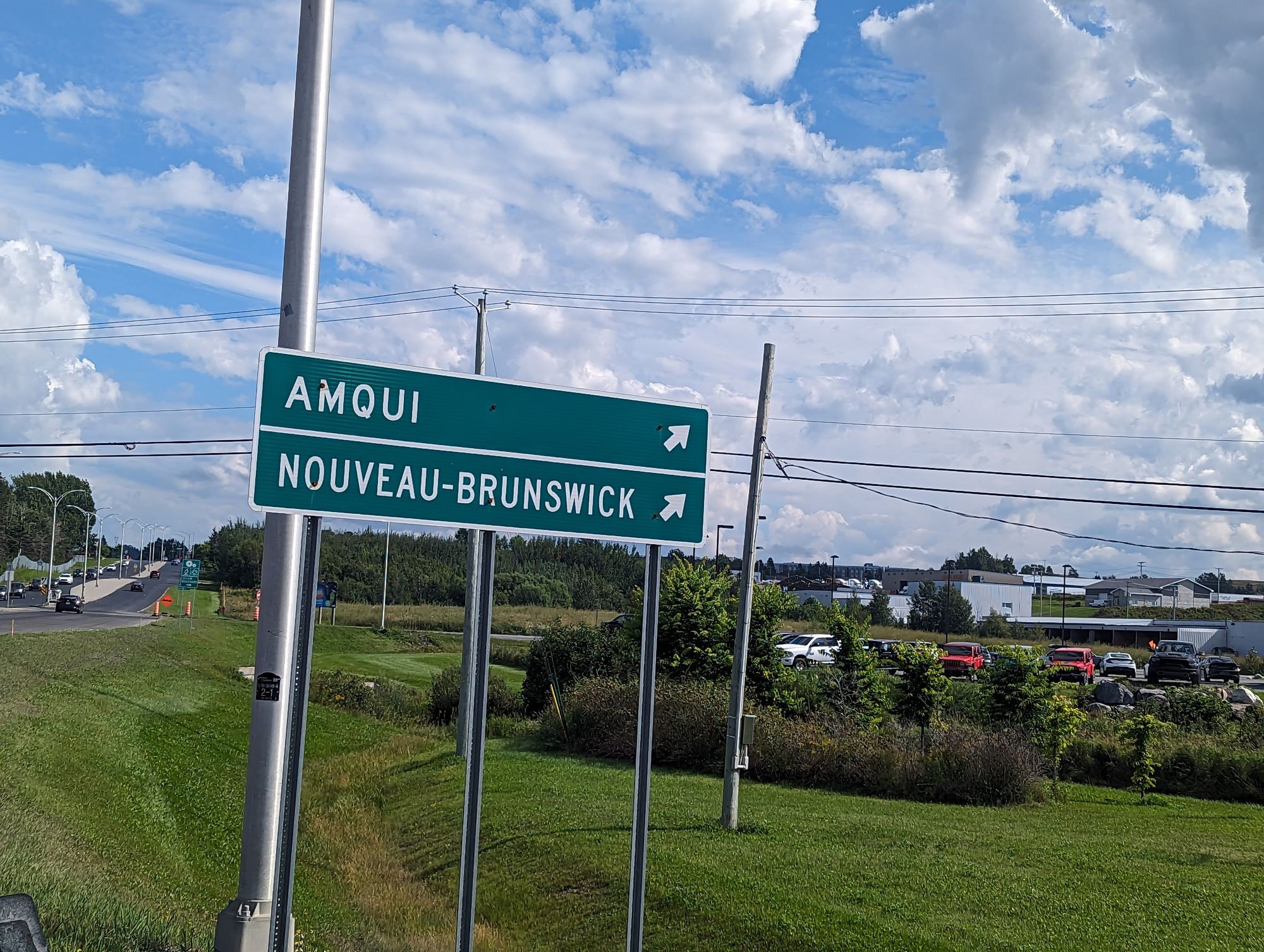
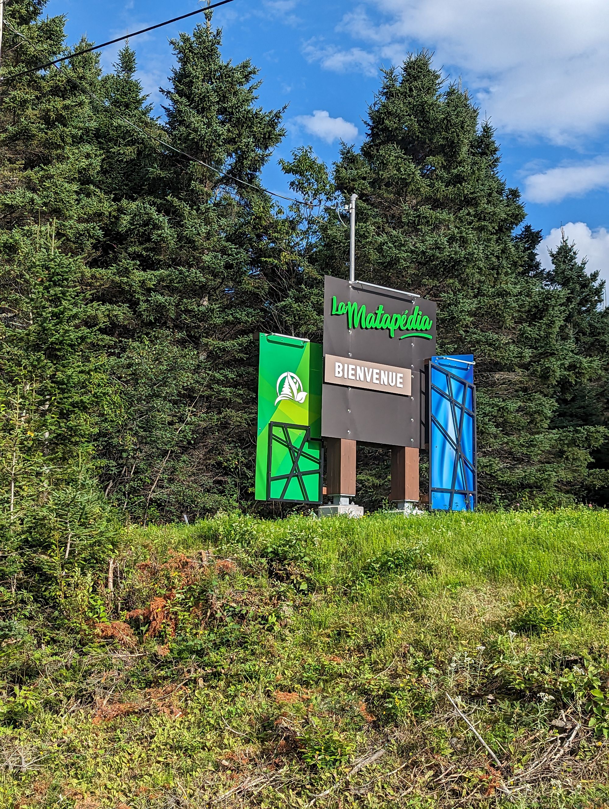
We saw our first sign on this section of road that told us we were nearing New Brunswick.
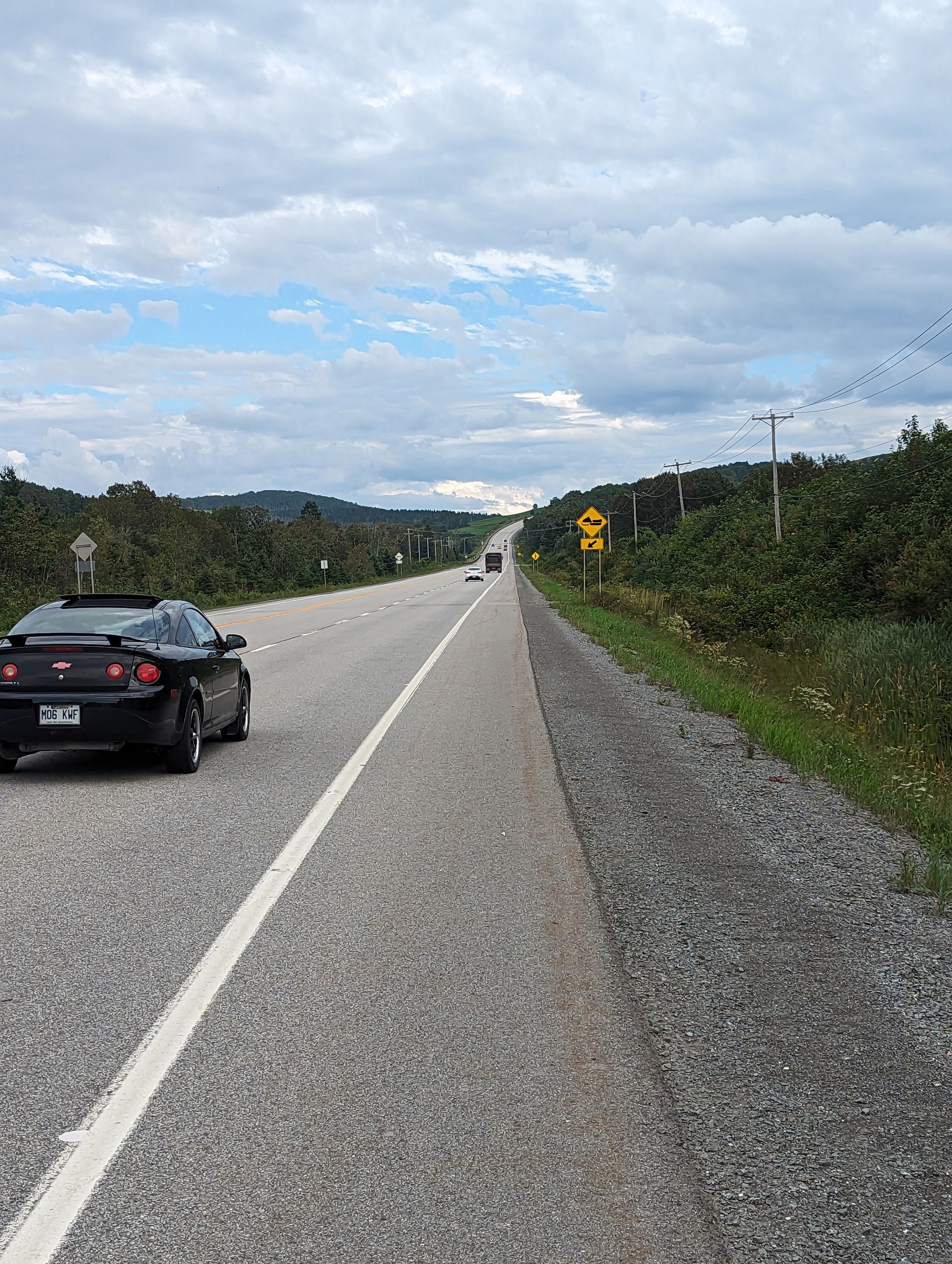
And it quickly became clear that we were not on the coast anymore. Particularly because we were riding uphill. A lot. In fact, it also quickly became clear that our timeline for arrival at the campground might also not be realistic. We pressed on and the rugged coastline and distant mountains were replaced with forests and hills to climb over. We were back in the woods!
Occasionally we would pass farmland, but the farms seemed fewer and further between than they had been along the river. At around 5:30pm we pulled into Sayabec, Quebec and took a break. We were both feeling the distance and there was still further to go. We sat for a few minutes and centered ourselves. After about 10 minutes it was time to make the final push.
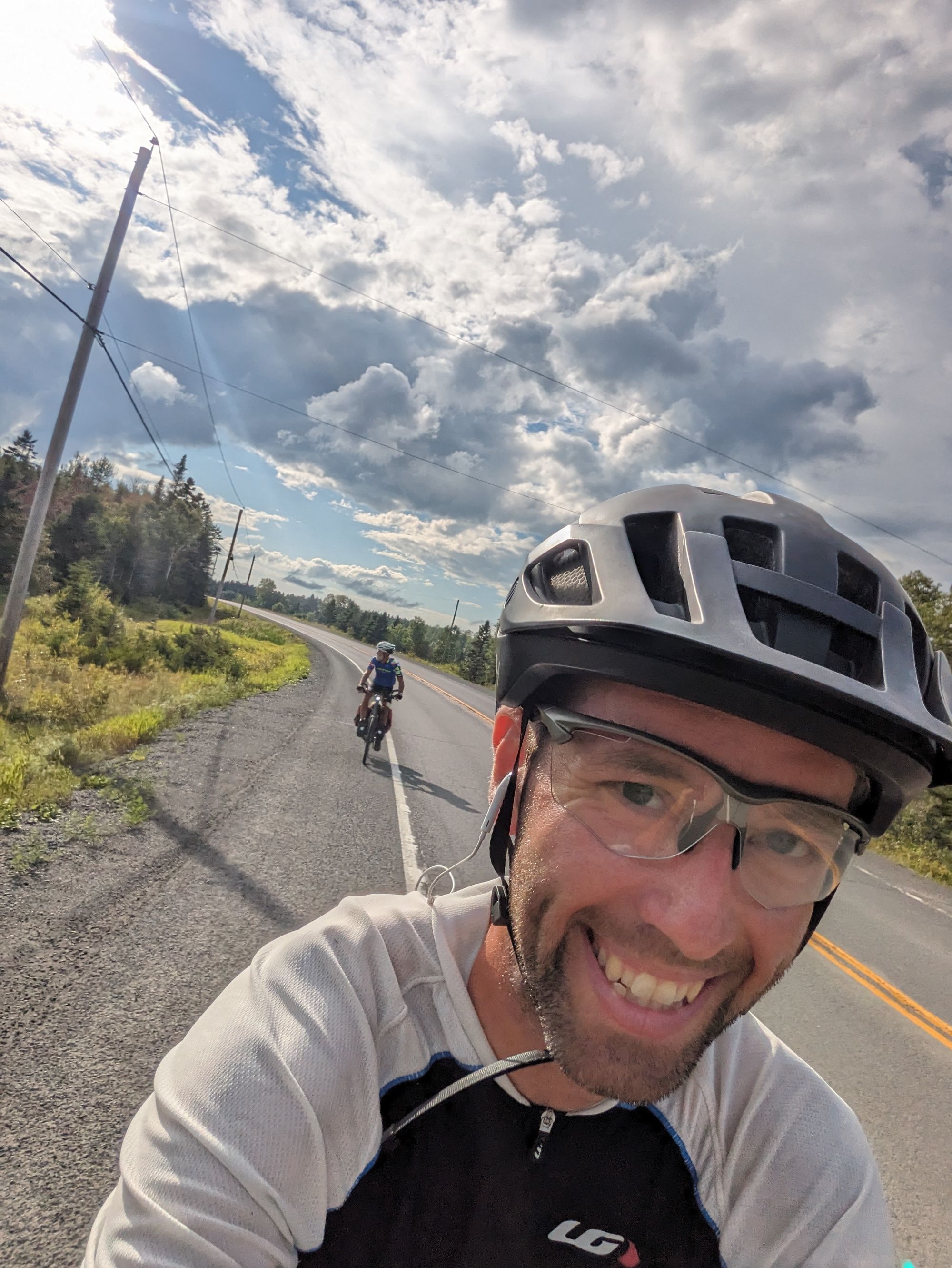
We continued along the highway and it went up and down, over and over. In the distance we could see Lake Matapedia. We've been spoiled for places to stay since Niagara, and also haven't done longer days like this. Our shadows grew longer as the sun started getting lower. Golden hour started just as we reached Val-Brillant and the campground.
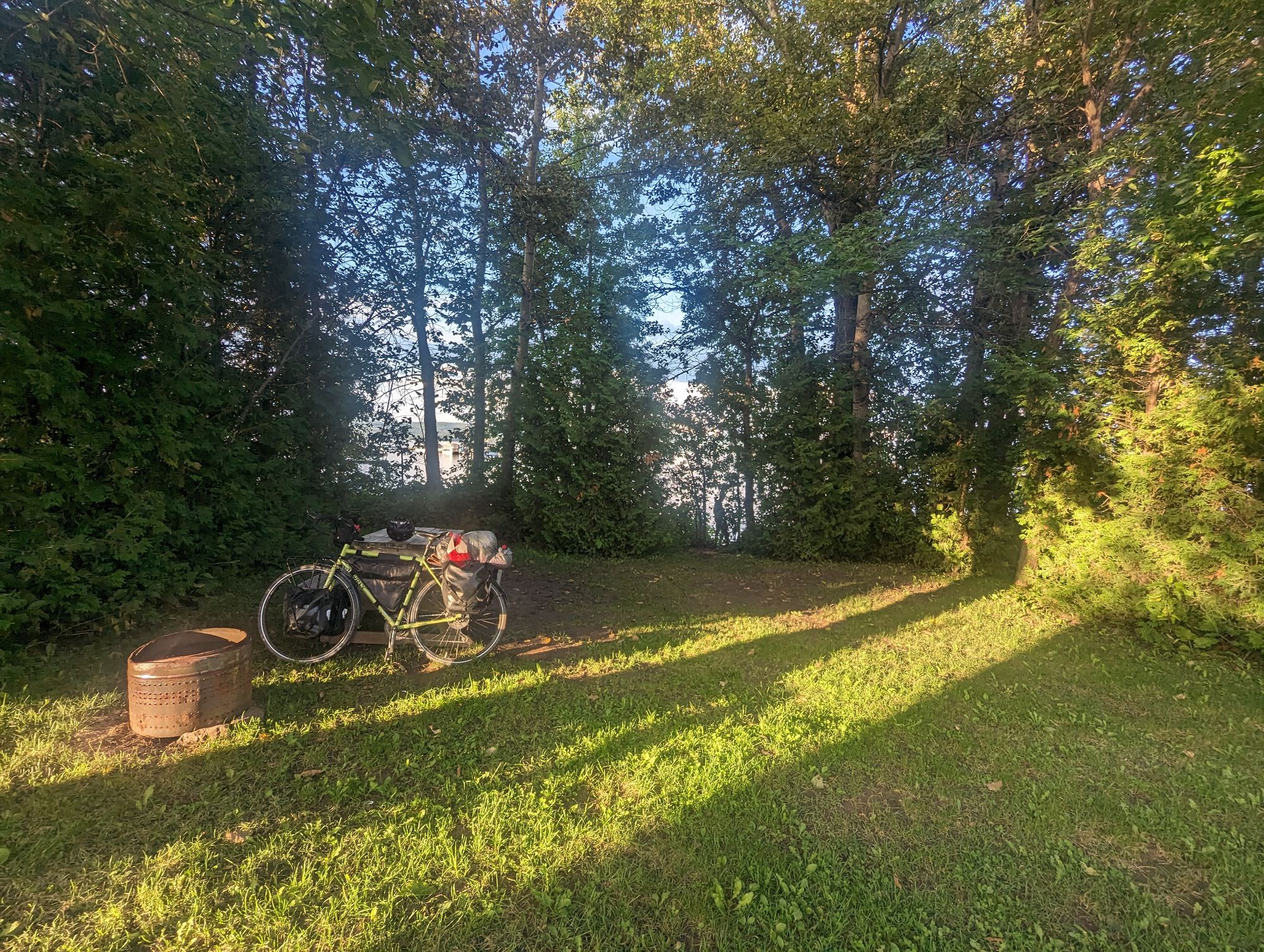
We pulled in just after 6pm and registered. I immediately went and sat down on a dock on the water to decompress from the ride. It had been more grueling than I'd intended, and I hadn't been eating properly and so was left with probably no blood sugar and was in a stupor. We showered, setup our tents, and ate in the dark.
It had been a looooooong day. Both in terms of distance, energy, and willpower to get us to our campsite. We'd finished the St. Lawrence section of the ride, and I promise I'll come back to this place and do the entire Gaspe Peninsula. If it's even half as nice as what we saw, it'll be worth it!