Day 97: Val-Brillant, QC -> Dalhousie, NB
Jeremy and Skipper go downhill, cross the line, and marvel at the splendor
Date: Sunday, August 20, 2023
Start: Val-Brillant, QC (Camping des Bois et des Berges)
End: Dalhousie, NB (Inch Arran Park)
Distance: 141km
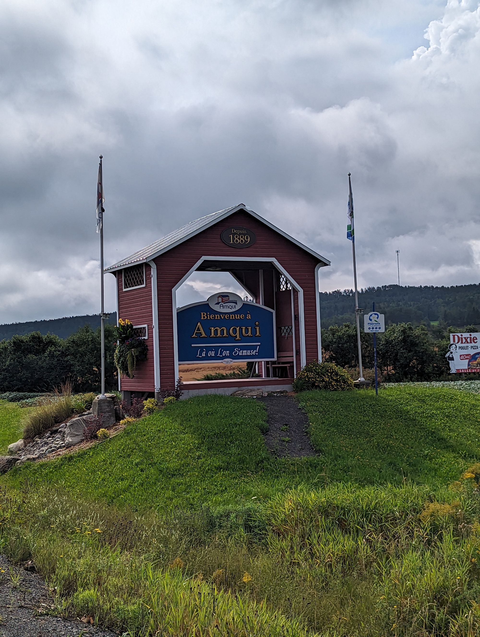
It had rained overnight while we slept. I'd woke a few times to the sound of the droplets on my rain fly, but managed to stay dry all night! We woke to find everything was sopping wet. We packed and tore down. The skies were solid gray cloud and there was no chance the sun was coming out to dry our tents, so we packed the wet tents separate from the dry gear. About 15km down the road was the town of Amqui, Quebec where we'd researched some breakfast restaurants and we planned to stop at one. When we were ready, we jumped on the bikes and started out of Val-Brillant. It was just after 9am.
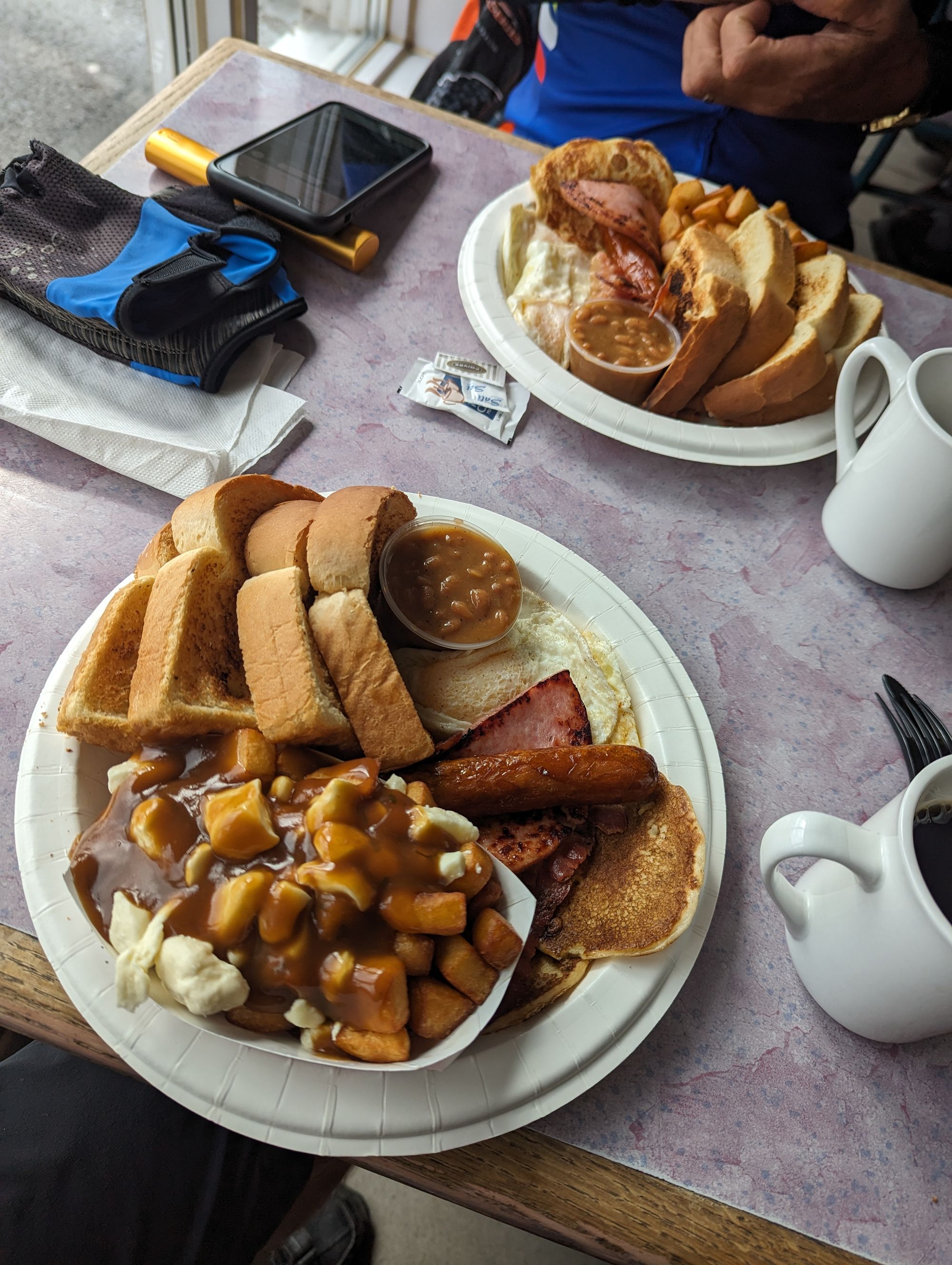
15km later we reached Amqui, Quebec. We found the breakfast restaurant and each ordered their biggest breakfast. I added a poutine to mine because we were about to leave Quebec and I just wanted more! MORE!!!!!
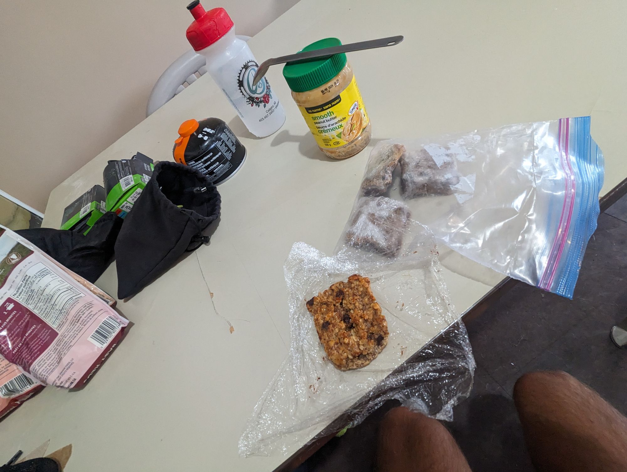
As we ate the sun broke through the clouds and they melted away. It turned into a bright and sunny morning. And then it turned into a hot morning! We finished breakfast around 10:45am and decided to pull the camping gear out in the parking lot and dry out. I can't imagine what people thought as we pulled out tents in a restaurant parking lot at 11am in the morning. We were definitely a curiosity! It only took about 20 minutes for all our gear to dry out. We packed back up and set off with the peace of mind that our gear wasn't going to be wet when we needed it again! (I forgot to take pictures of this process)
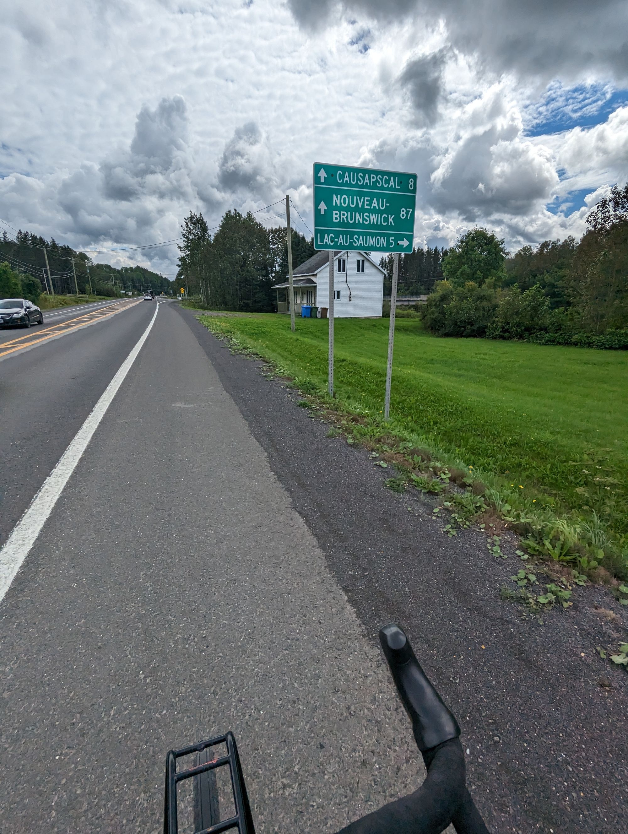
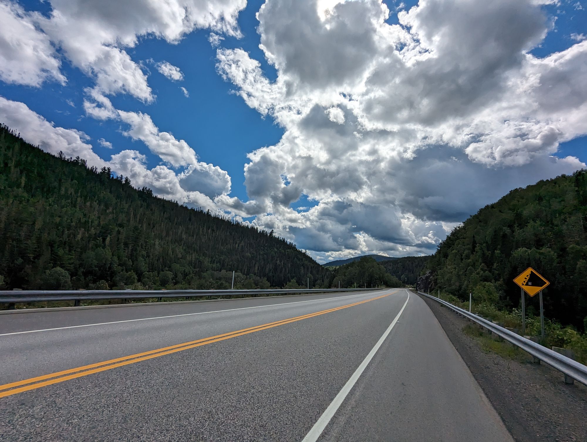
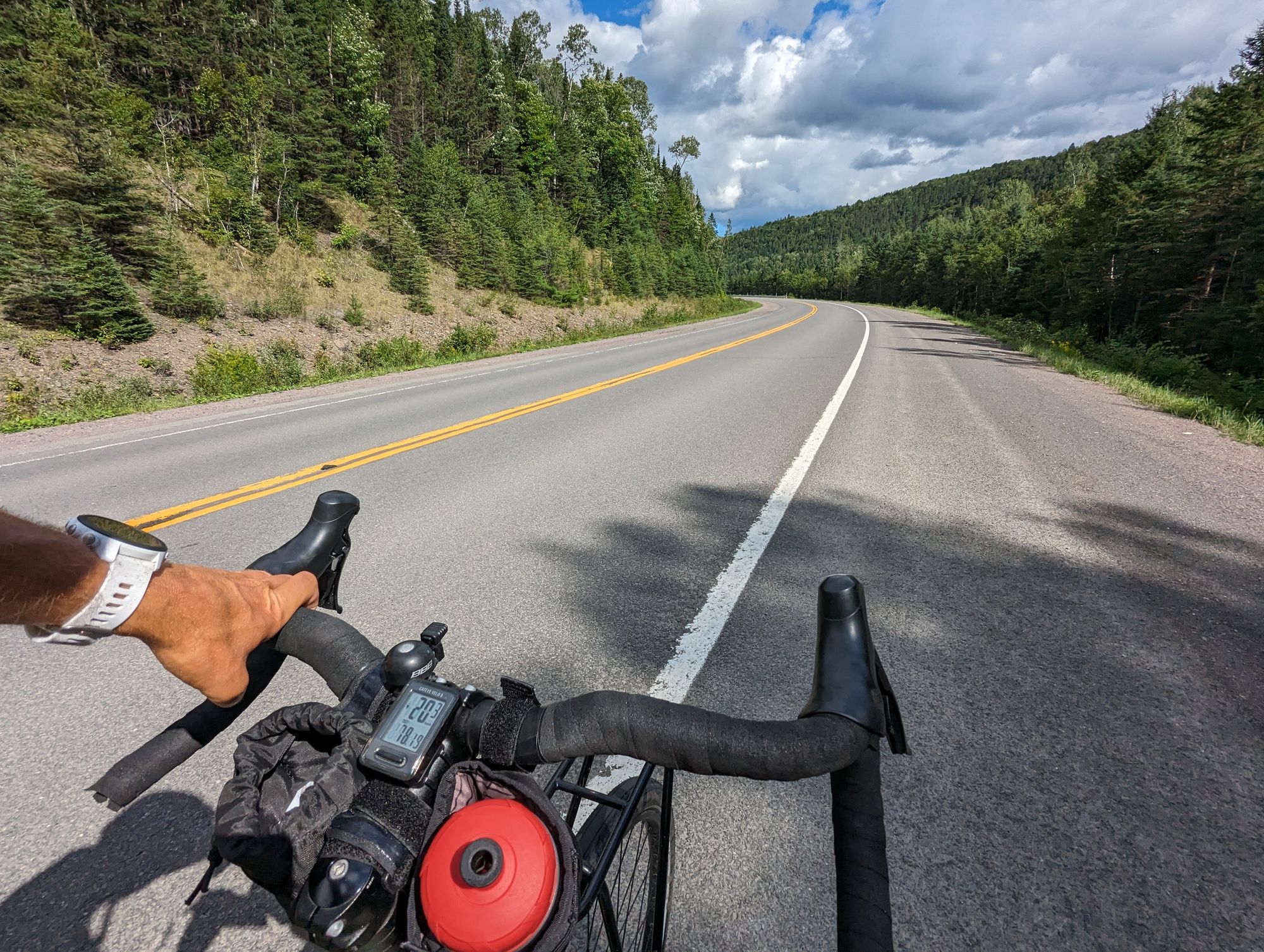
The goal for the day was Campbellton, New Brunswick or somewhere around there. We set off for the New Brunswick border. The hills and climbs of the previous day were about to pay off. It was all downhill to New Brunswick! This was good as we had another long day and were only properly setting off at 11am. It was going to be another long day.
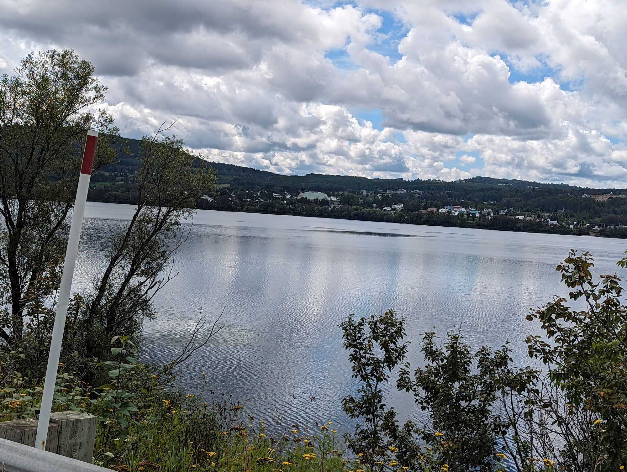
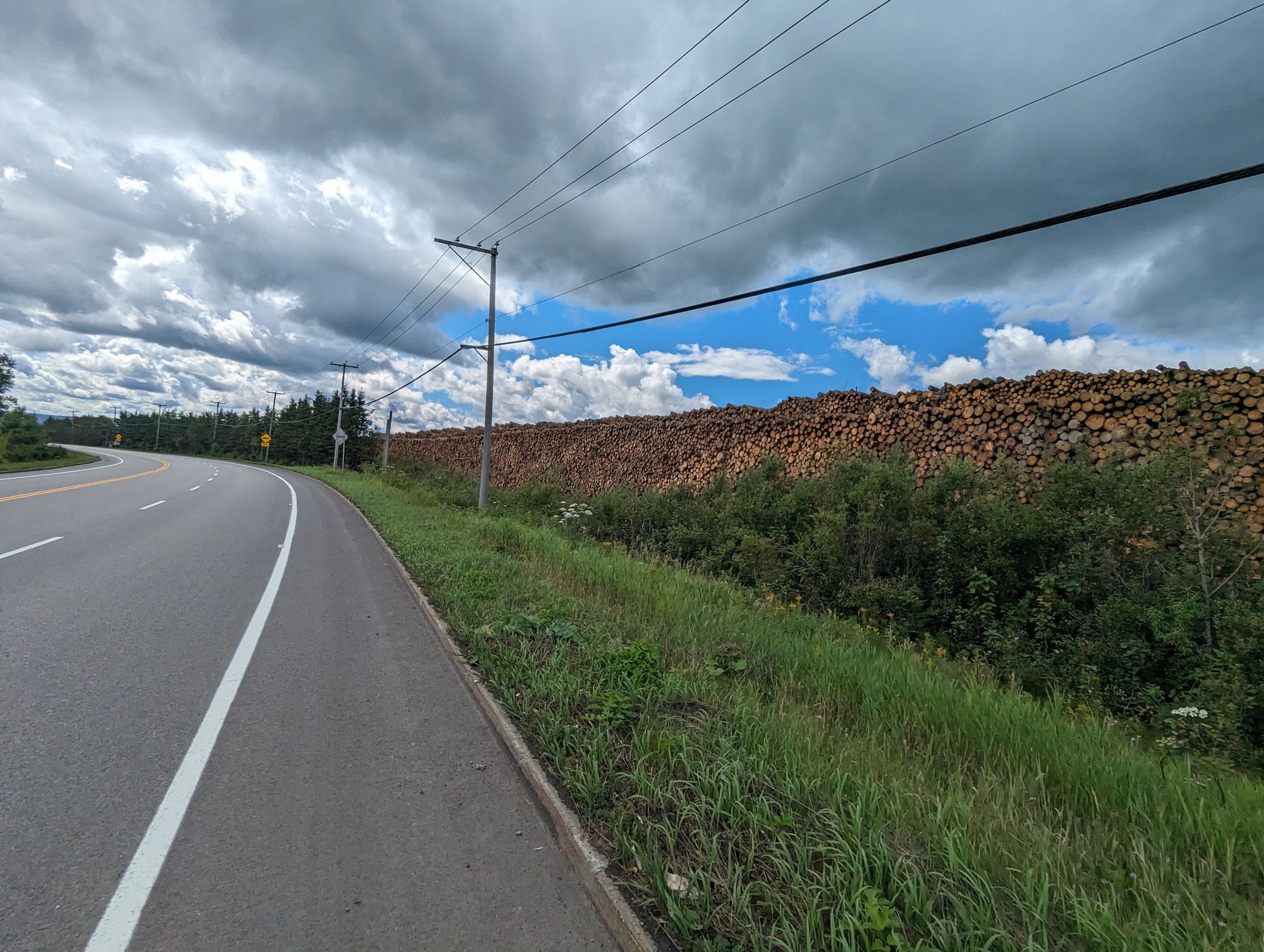
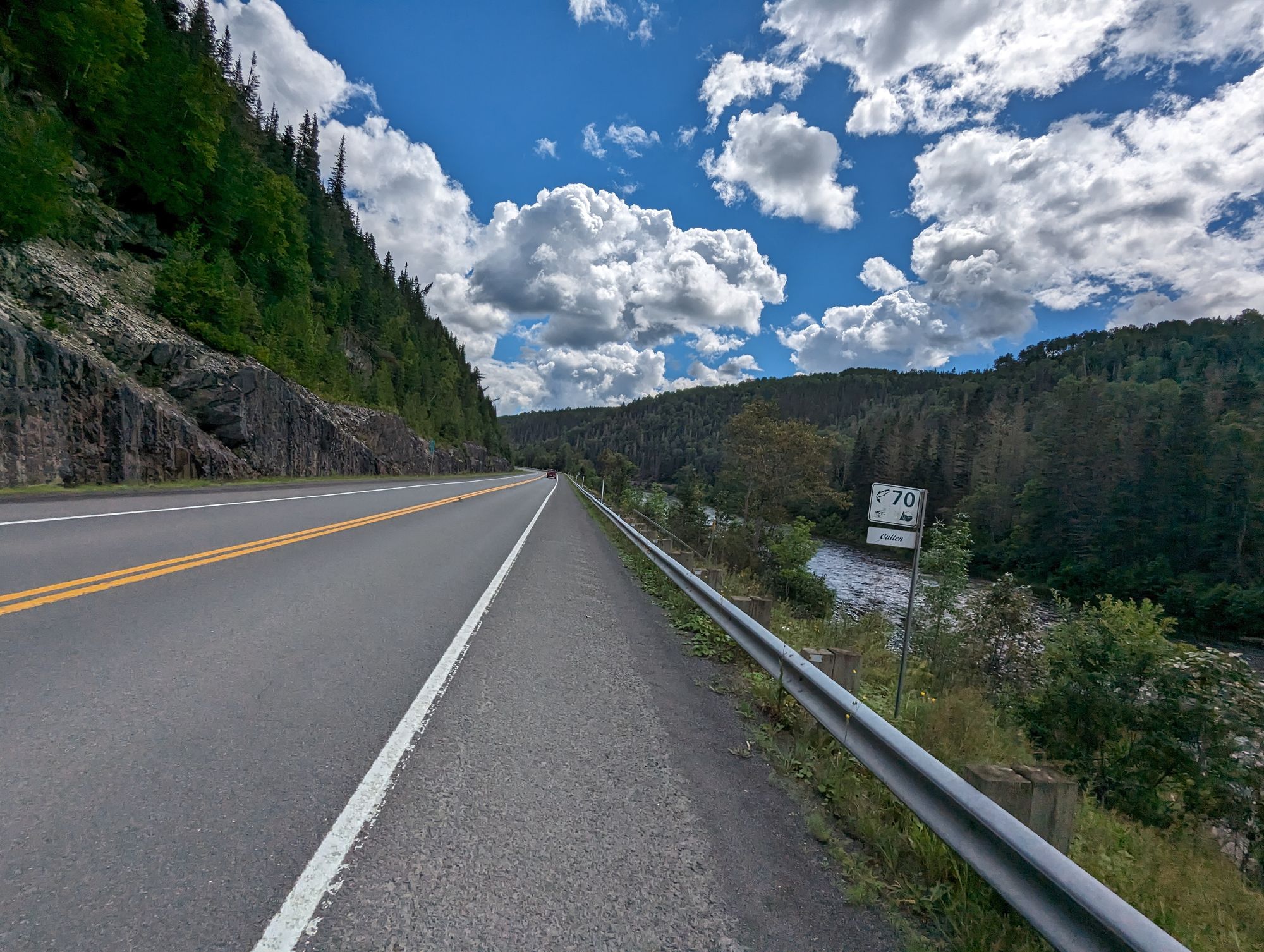
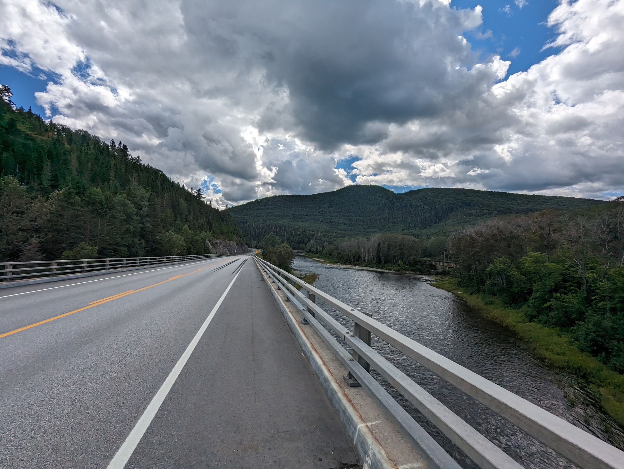
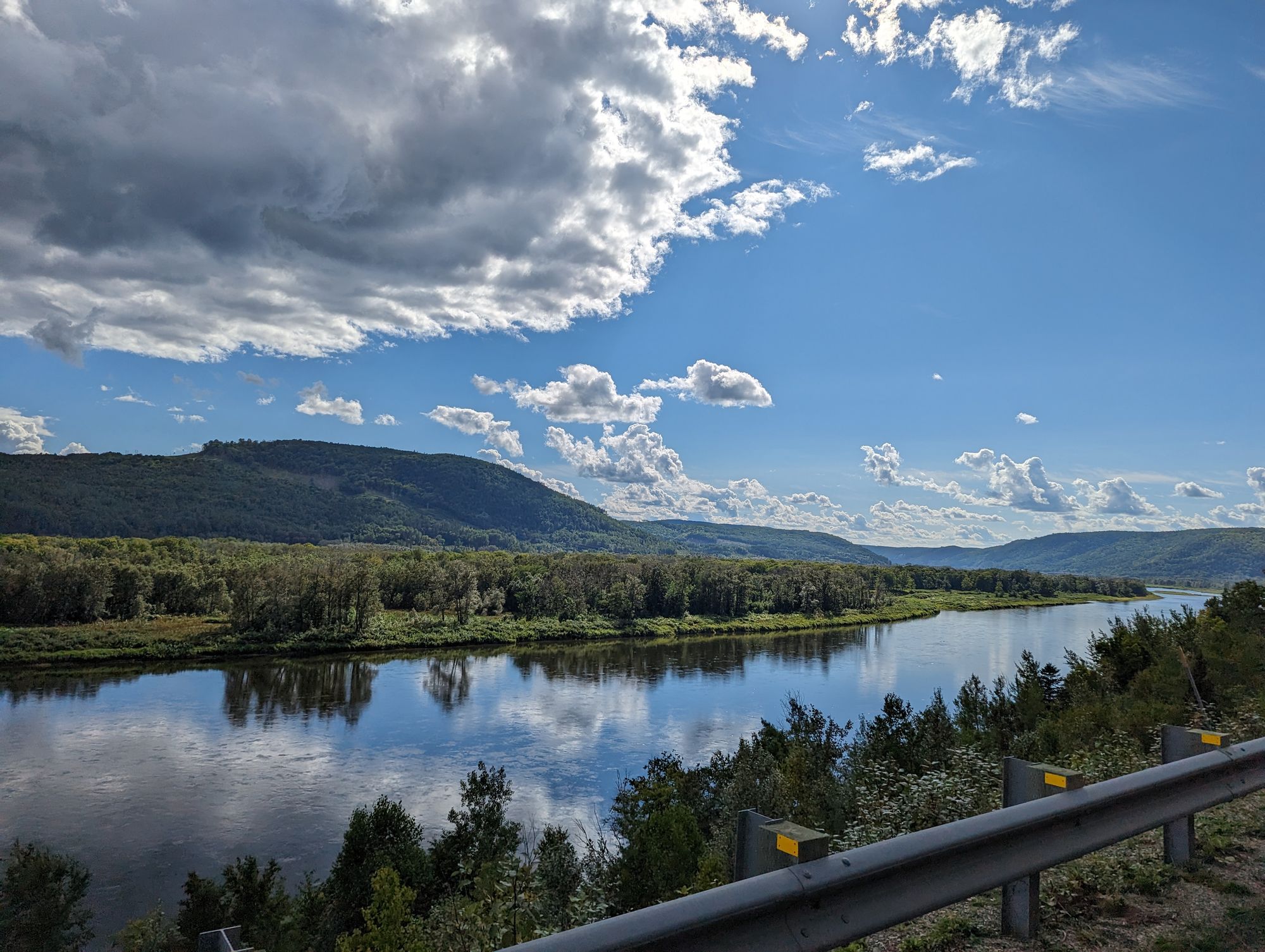
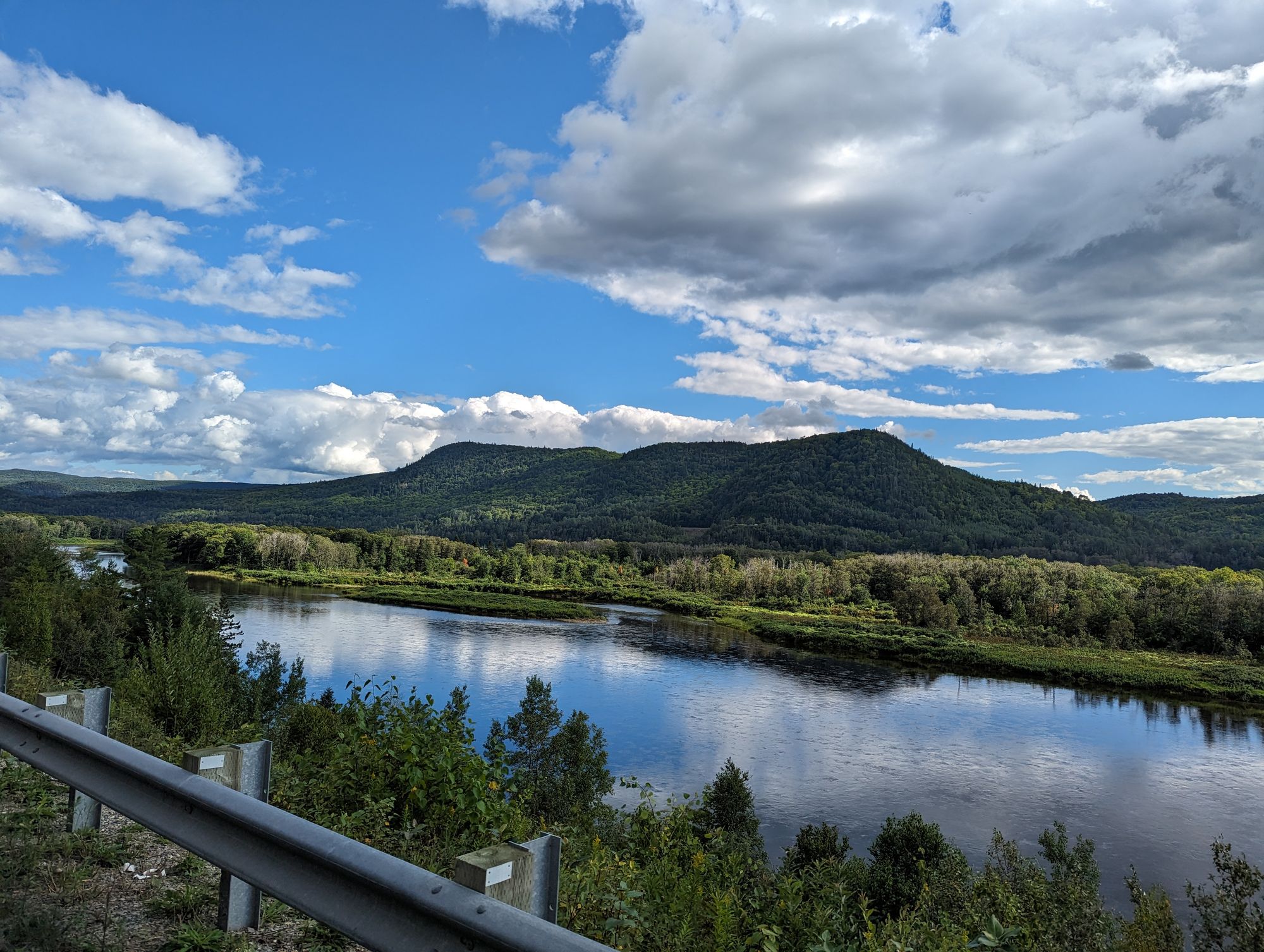
We had a slight tailwind, and though there were a few hills we were going downhill most of the ride. The farms of the previous day disappeared and were replaced with solid forest. The only real feature to speak of was the Matapedia River that the road followed through the hills. The river is known for its salmon fishing, and the entire trip along the river was marked by signs indicating fishing spots. We saw a number of cars pulled over and people out in the water in their gear.
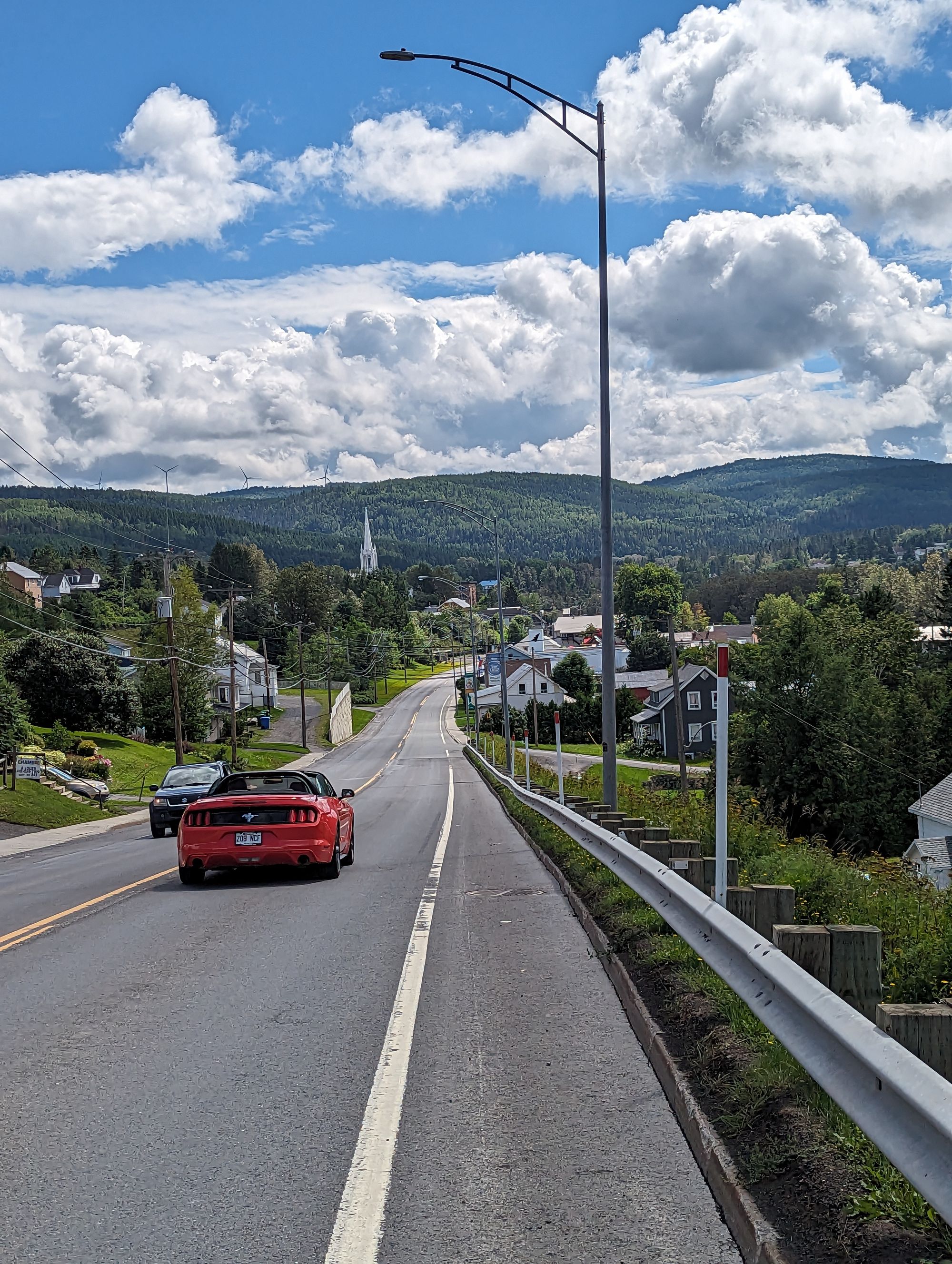
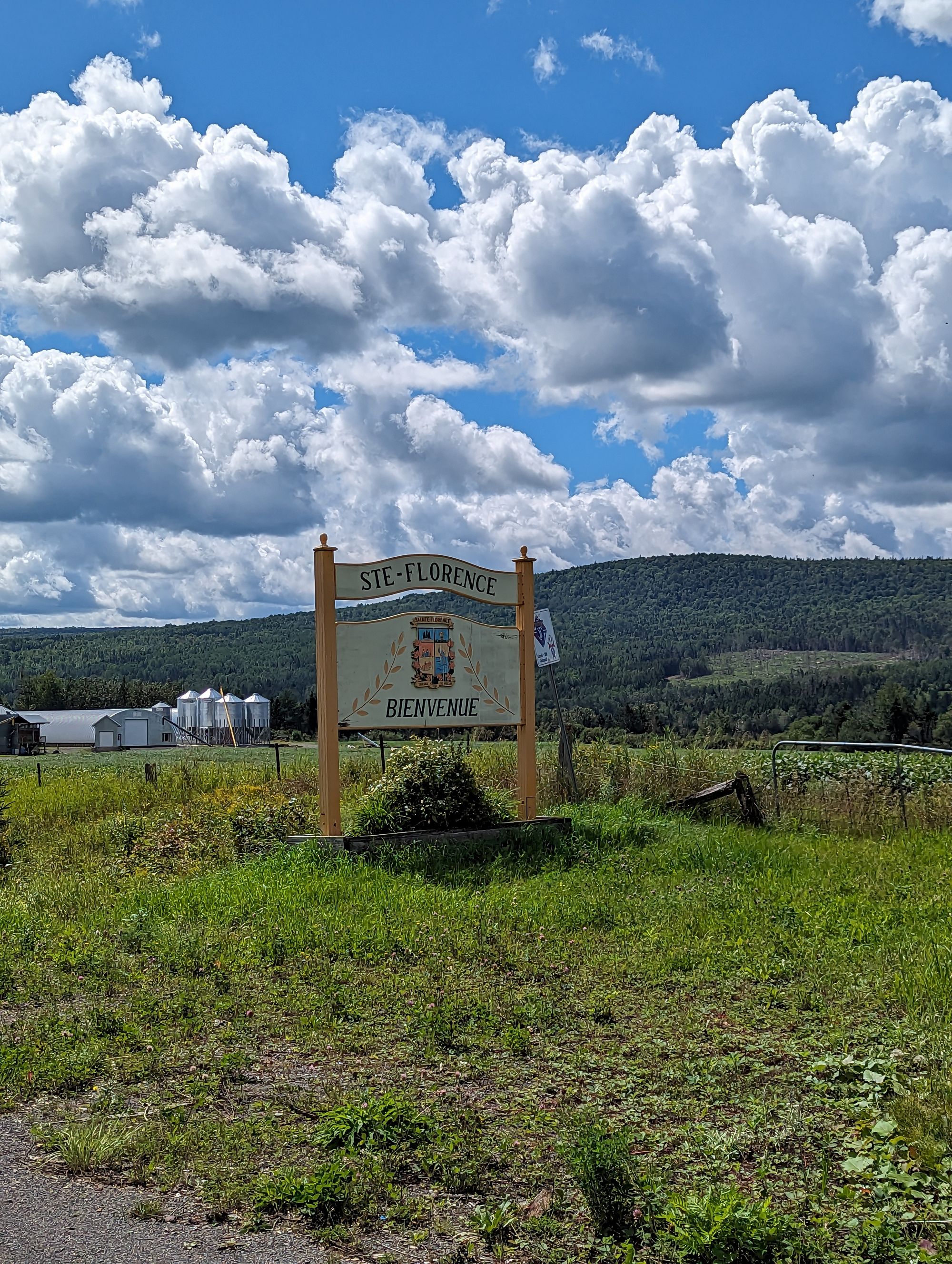
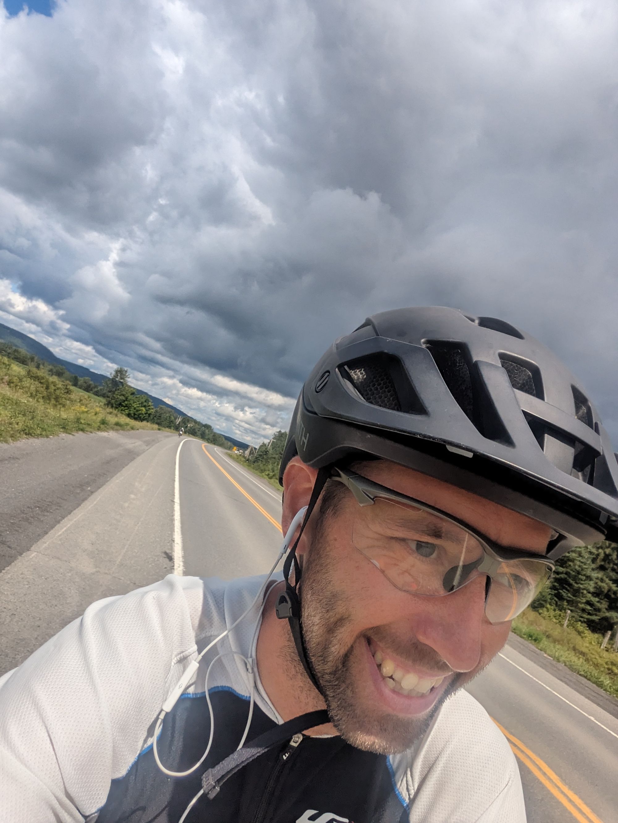
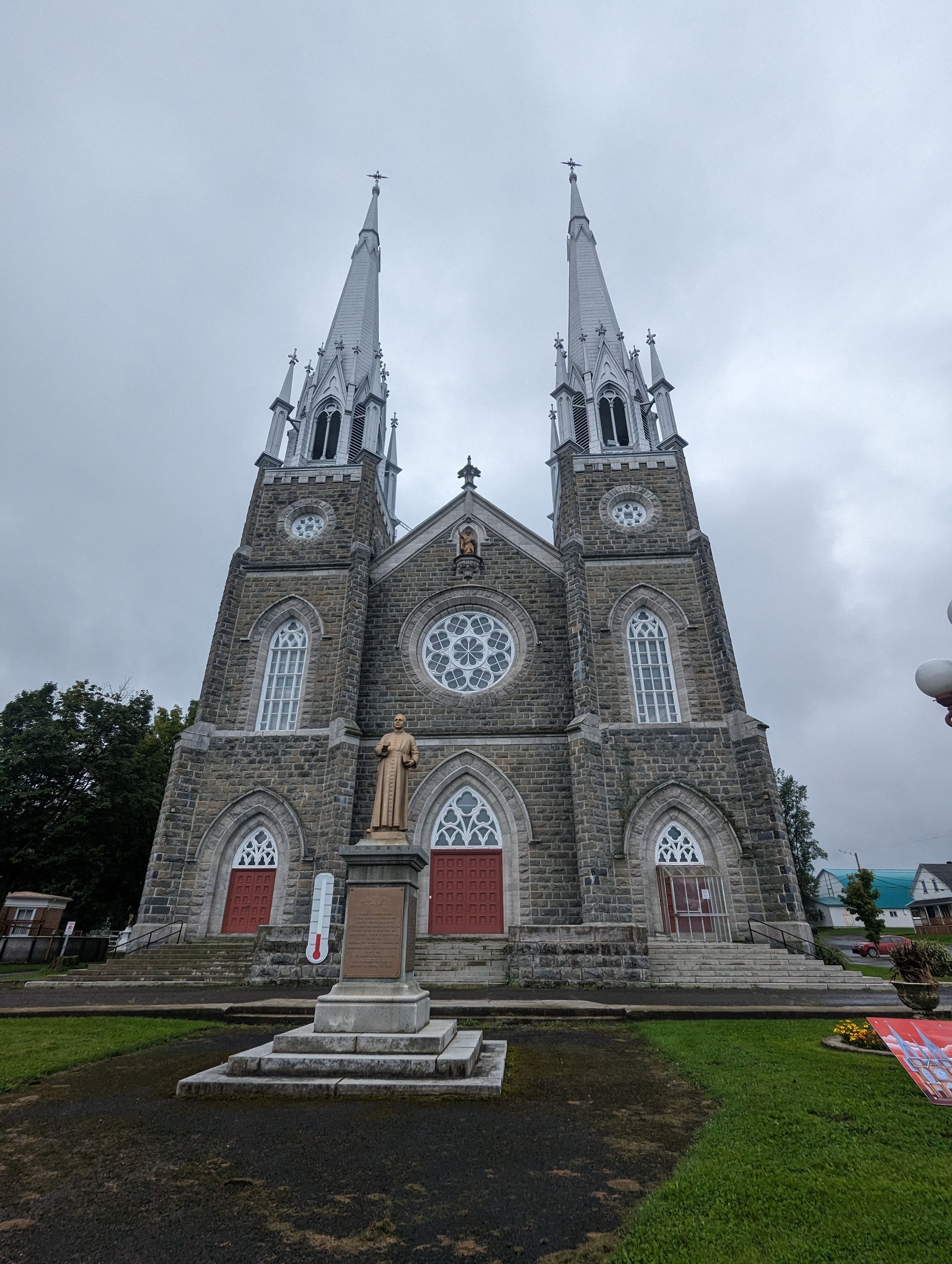
We passed through small towns as we biked. Each one marked with a towering church. After about 50km into the ride I hit a milestone.
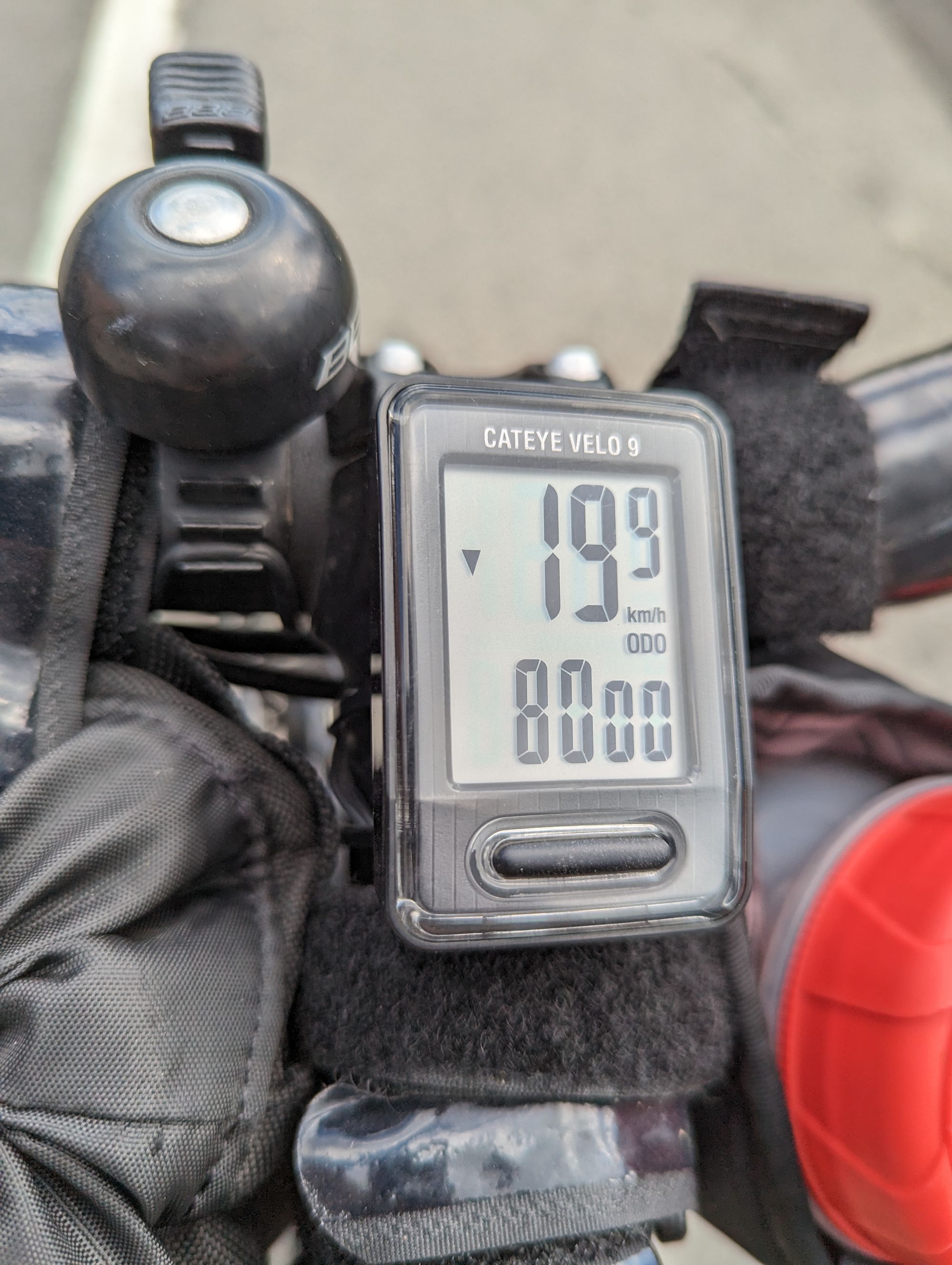
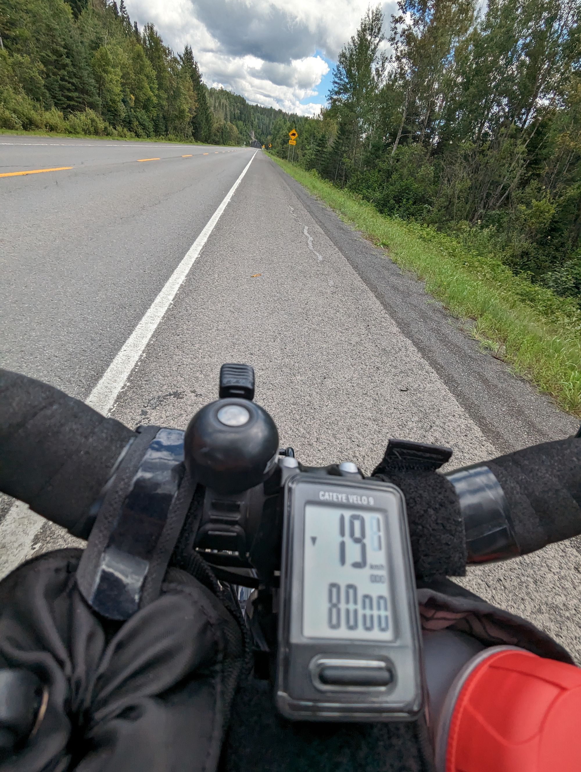
8000km total for the trip!
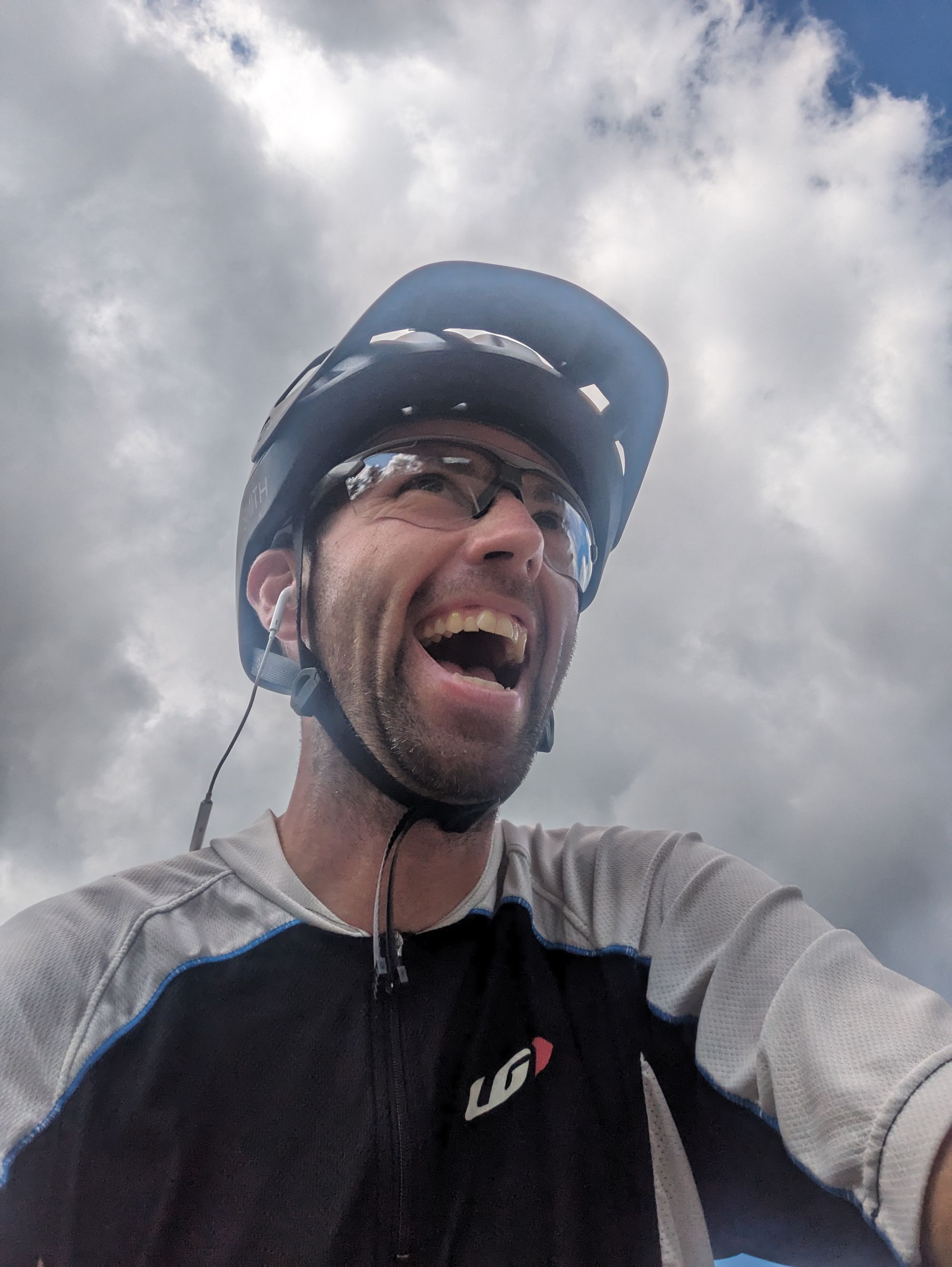
And a picture of my excited reaction:
I spent a few minutes reflecting on the distance. I still remember when I crossed over 1000km flying down the Coquihalla Highway in British Columbia. At the time that distance seemed incredible. Now it seems quaint! It also started to feel like the total distance wasn't counting up but instead is now counting down. I'm pretty sure I'll end up just over 10,000km for the trip...and that is getting closer and closer. For the first time, I realized that at some point this trip is going to end. And it's sooner than I think.
We continued down the road and down the river. As the clouds melted away, the sun set the scene and the shadows accented the drama of the hills and the river.
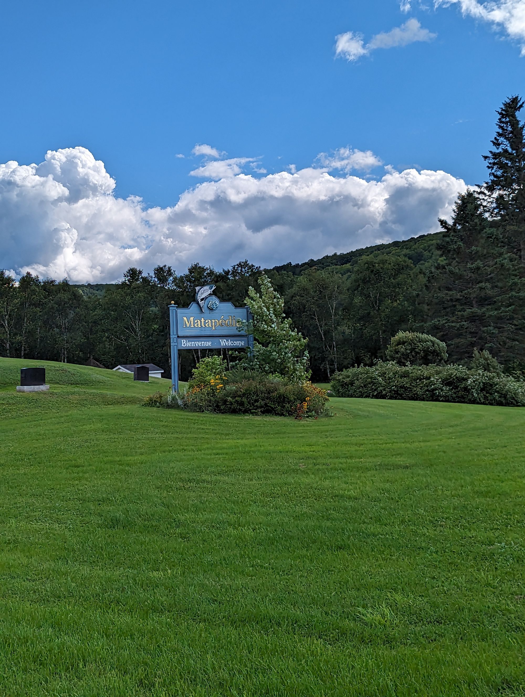
We rode into the town of Matapedia at about 3:20pm. It marks the place where the Matapedia River meets the Restigouche River. The Restigouche forms the border between Quebec and New Brunswick. With that, we were almost done with Quebec.
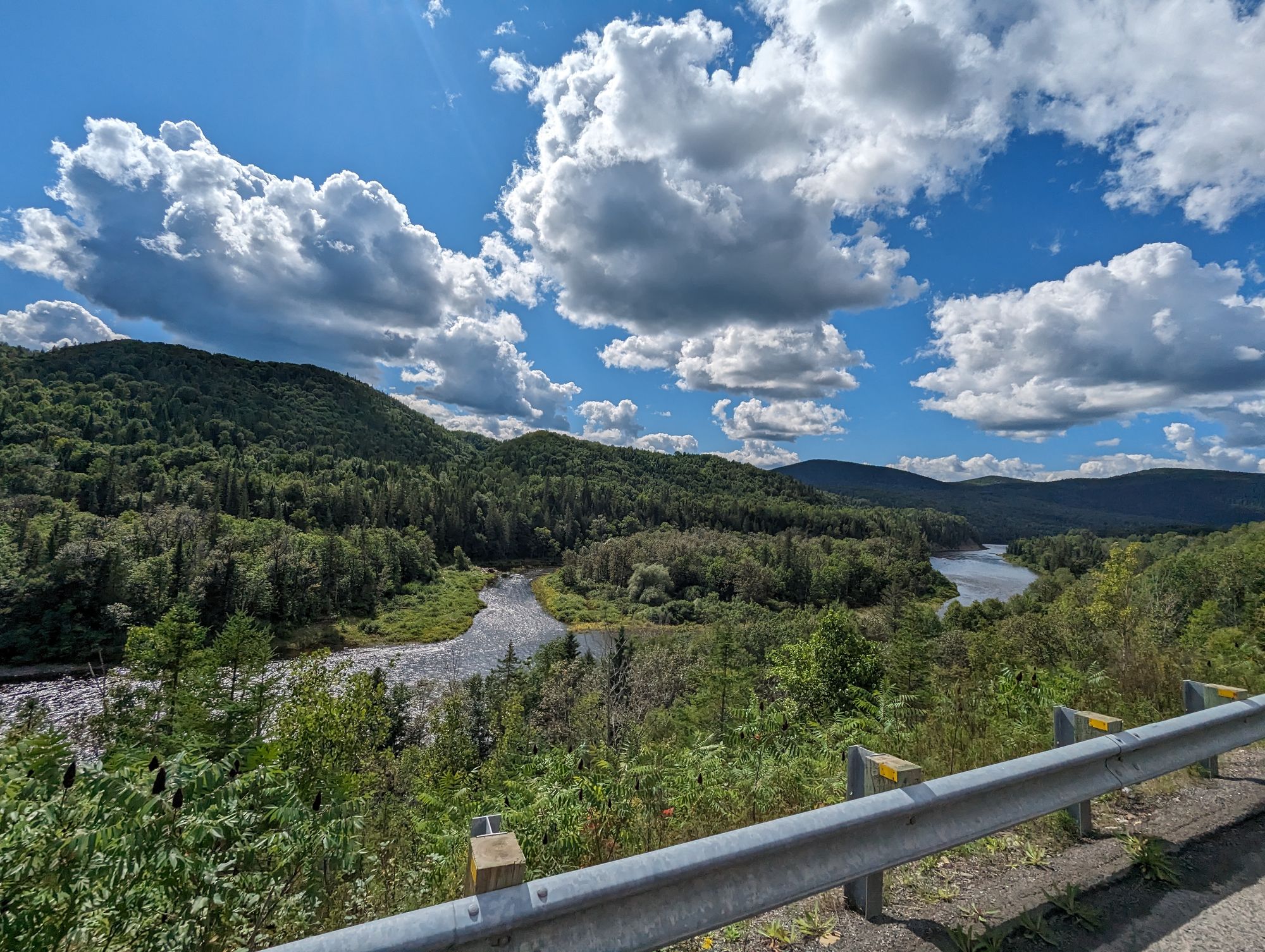
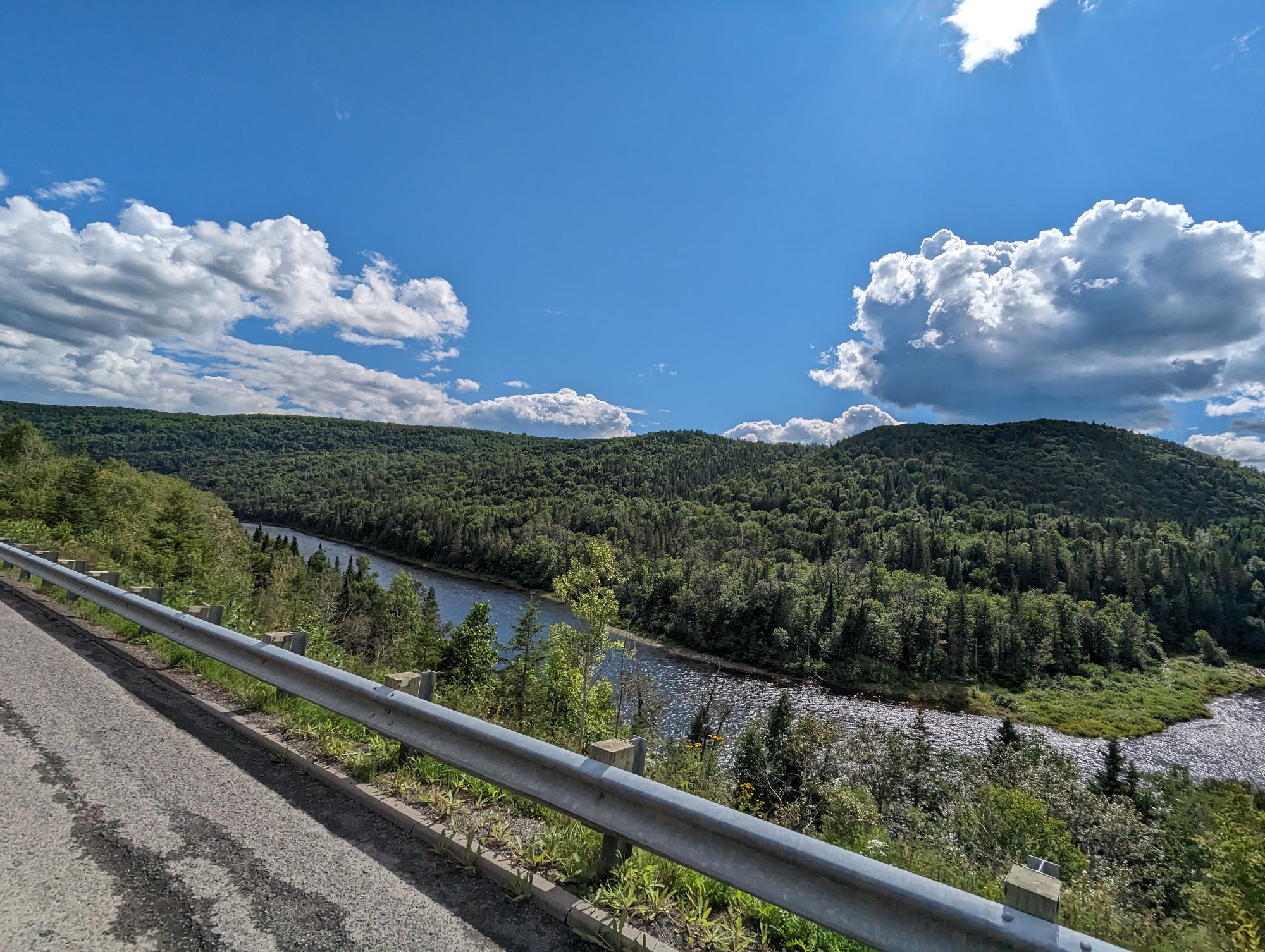
We made a quick pit stop and I checked the map. We could cross the river here and ride on the South side, but the North side of the Restigouche was a bit shorter so we opted to spend another hour riding on the Quebec side.
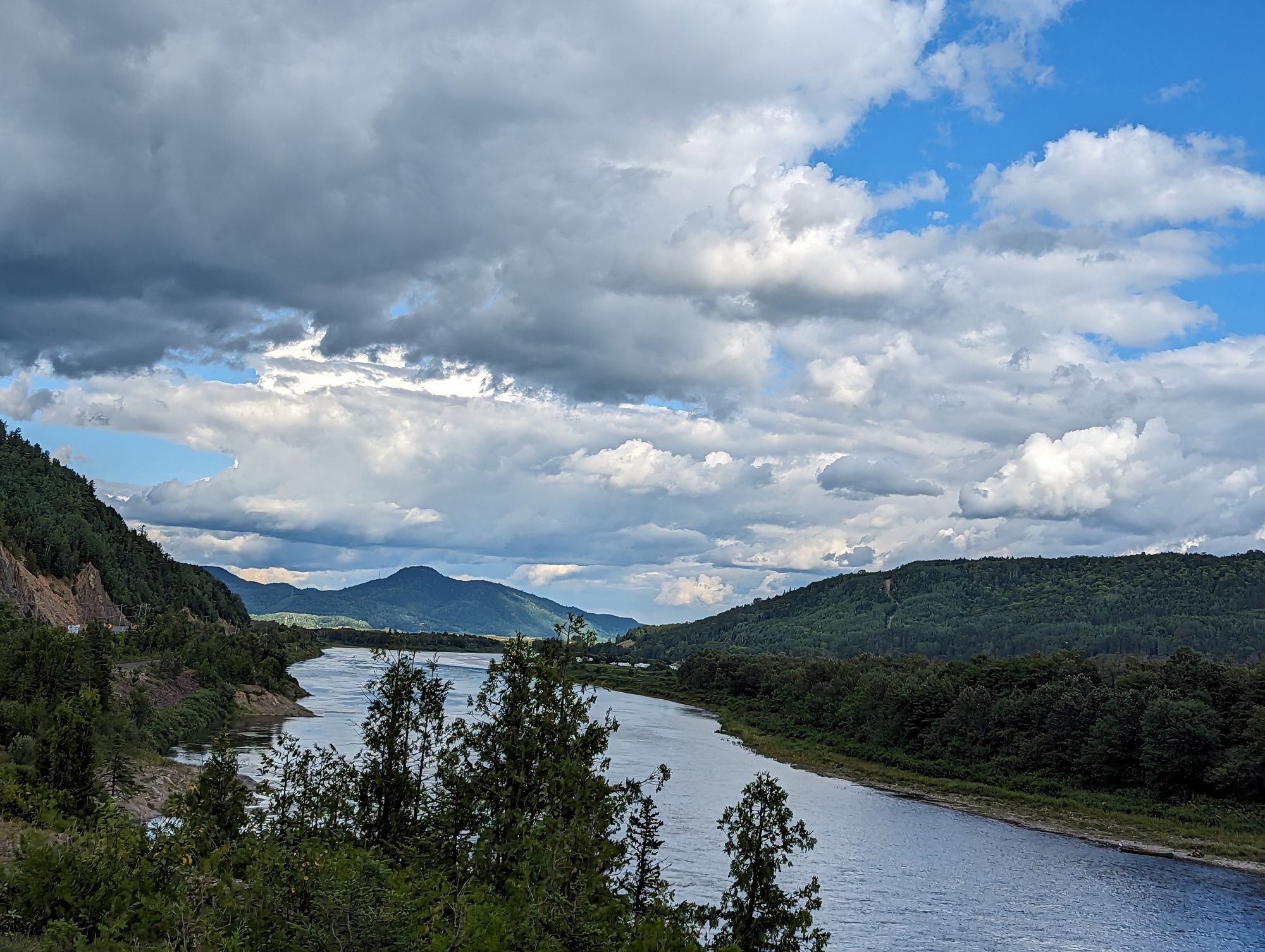
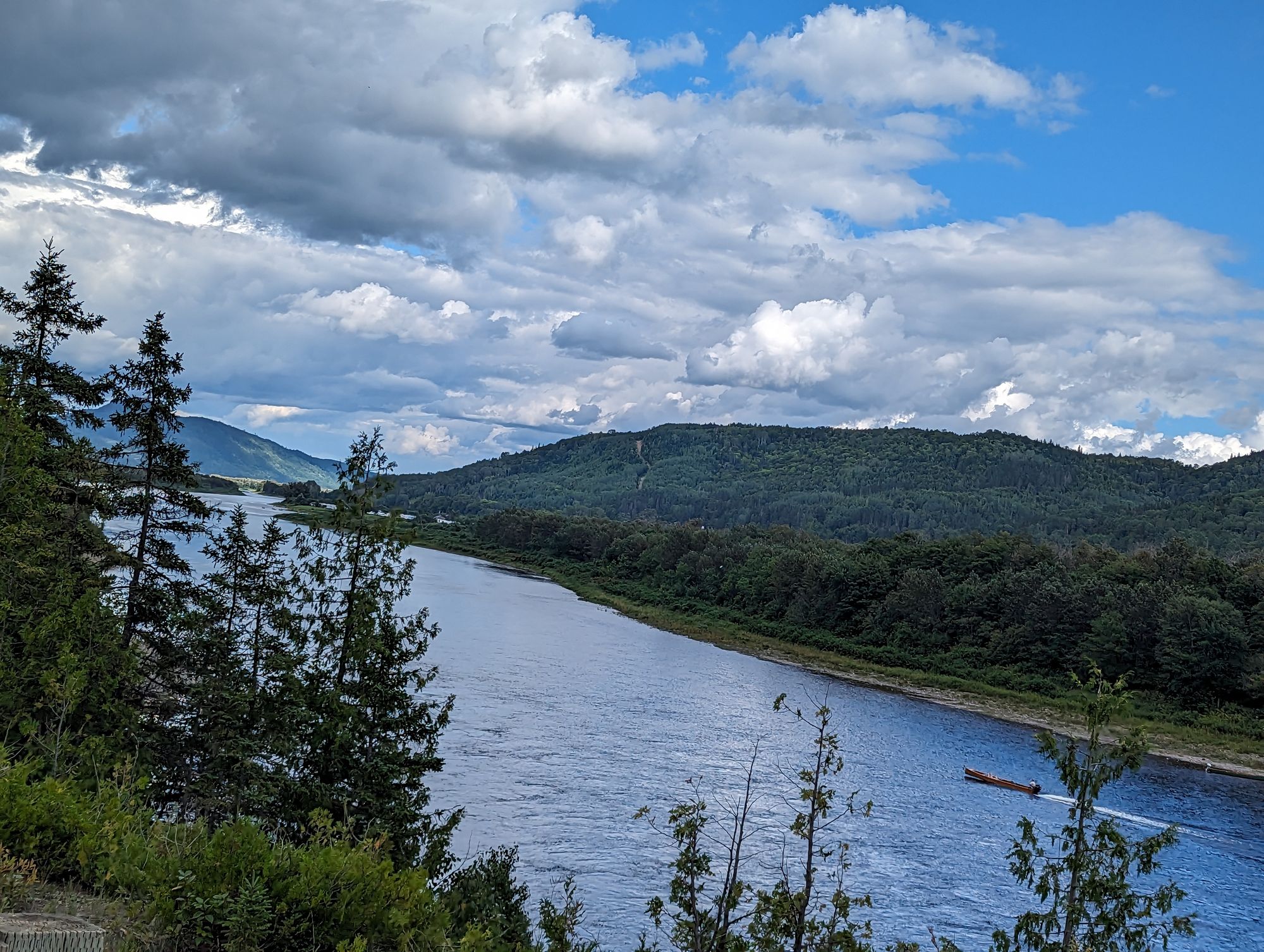
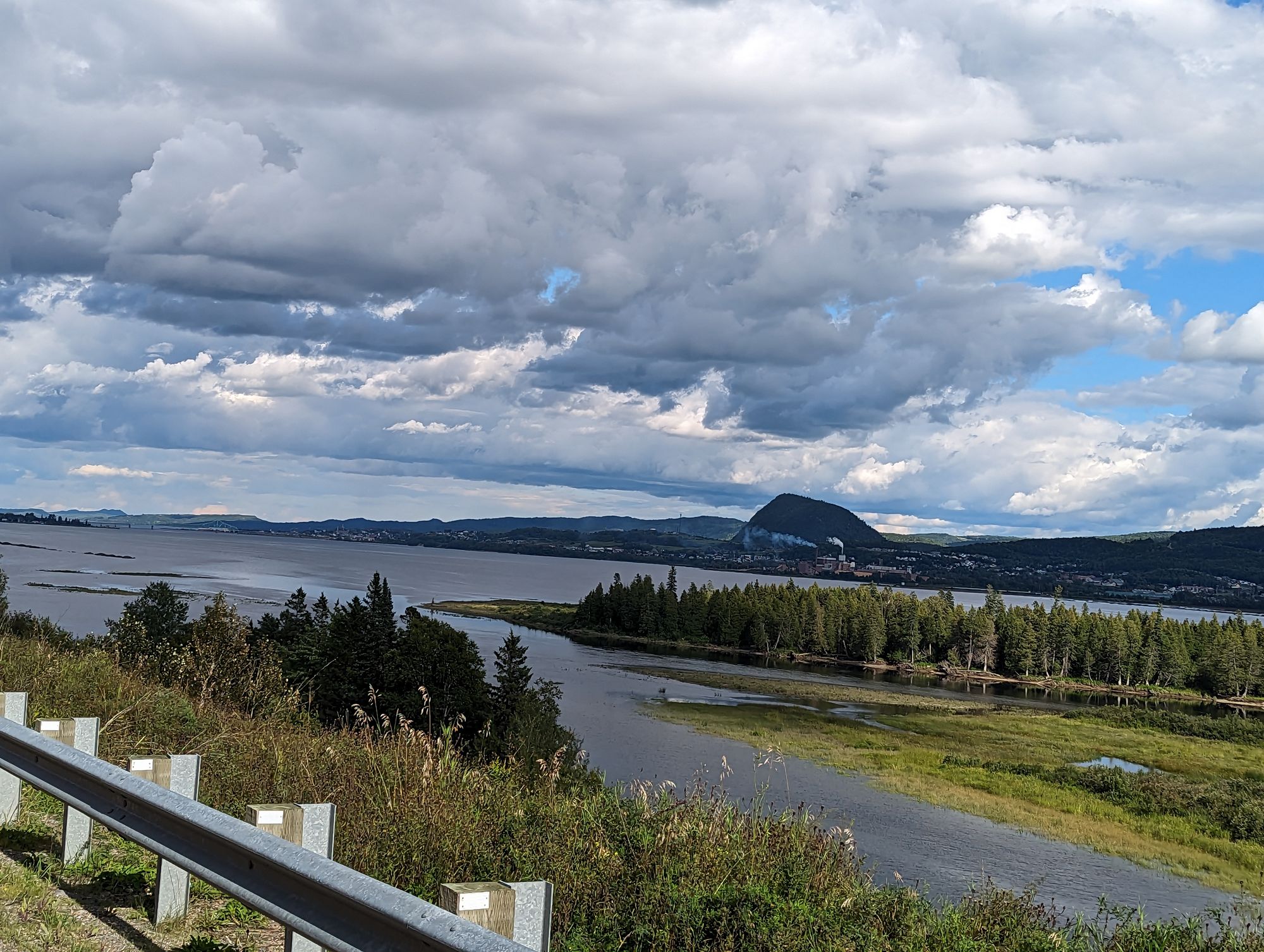
It was a great choice, because the views along the Restigouche were incredible. The road sat high up above the water, and this was actually the Southern coast of the Gaspe Pensinsula! We could see small boats in the water. Long canoes with motors on the back and they were rushing up and down the river. At some point we saw some docks where dozens of them were moored.
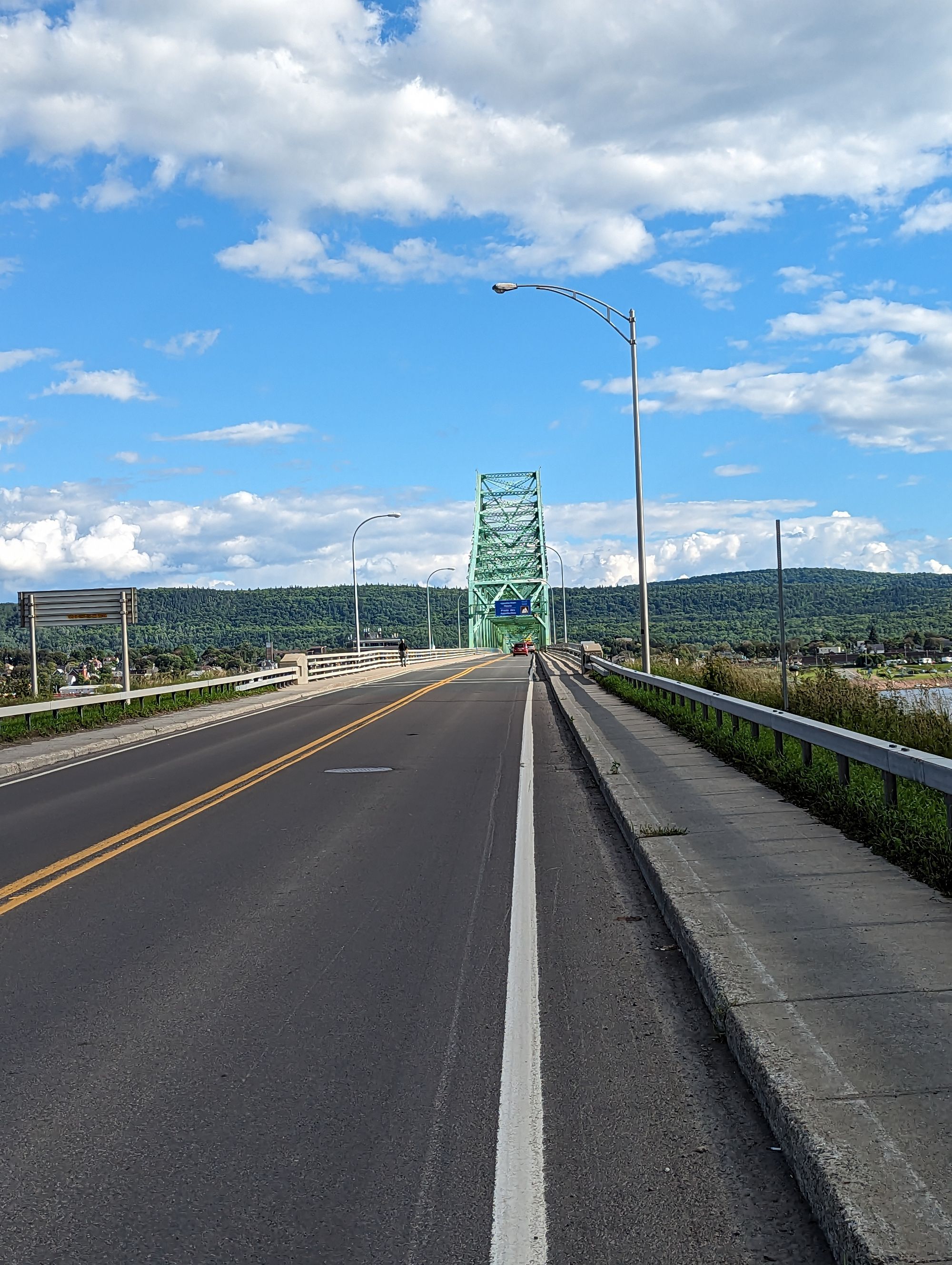
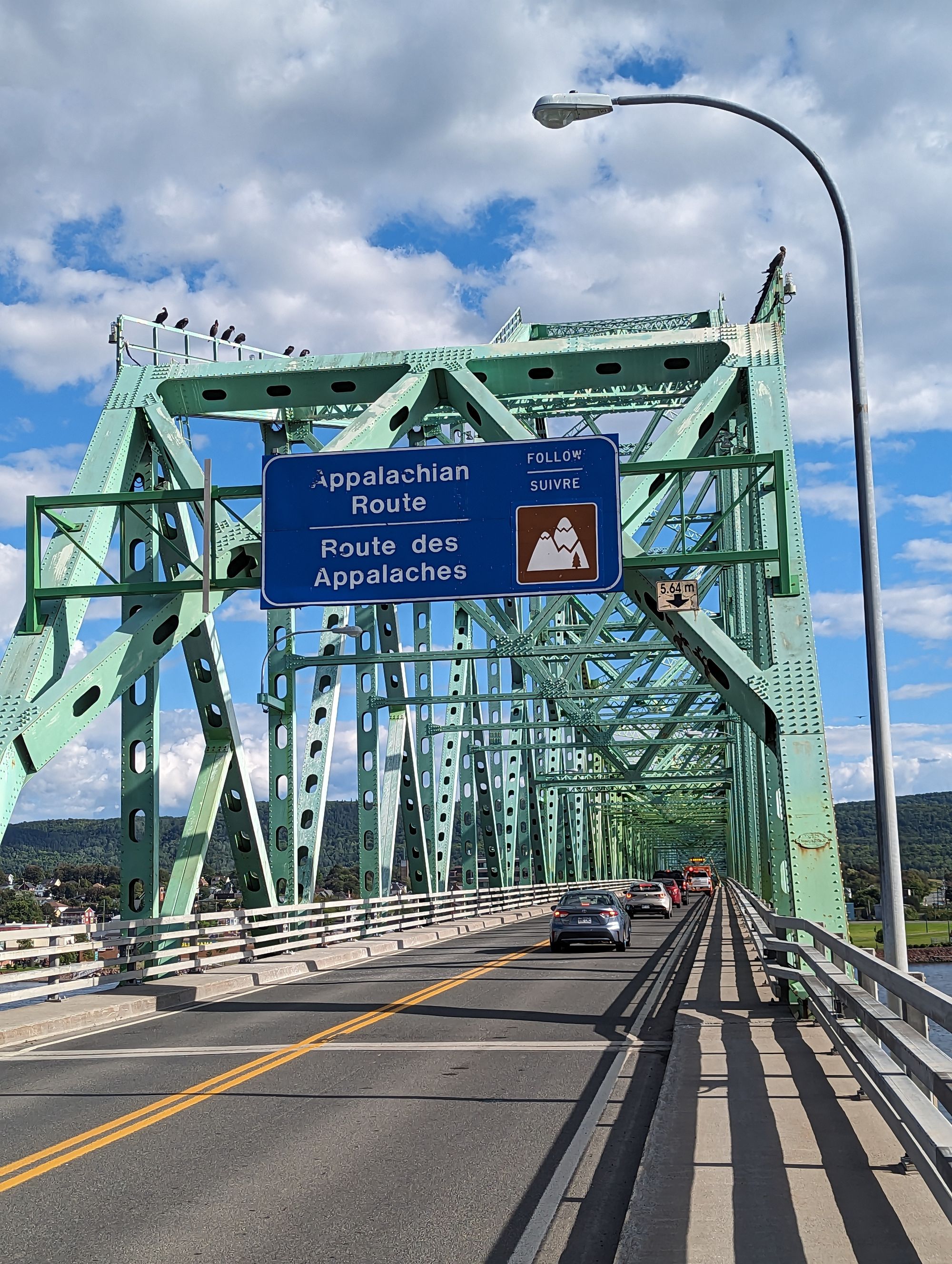
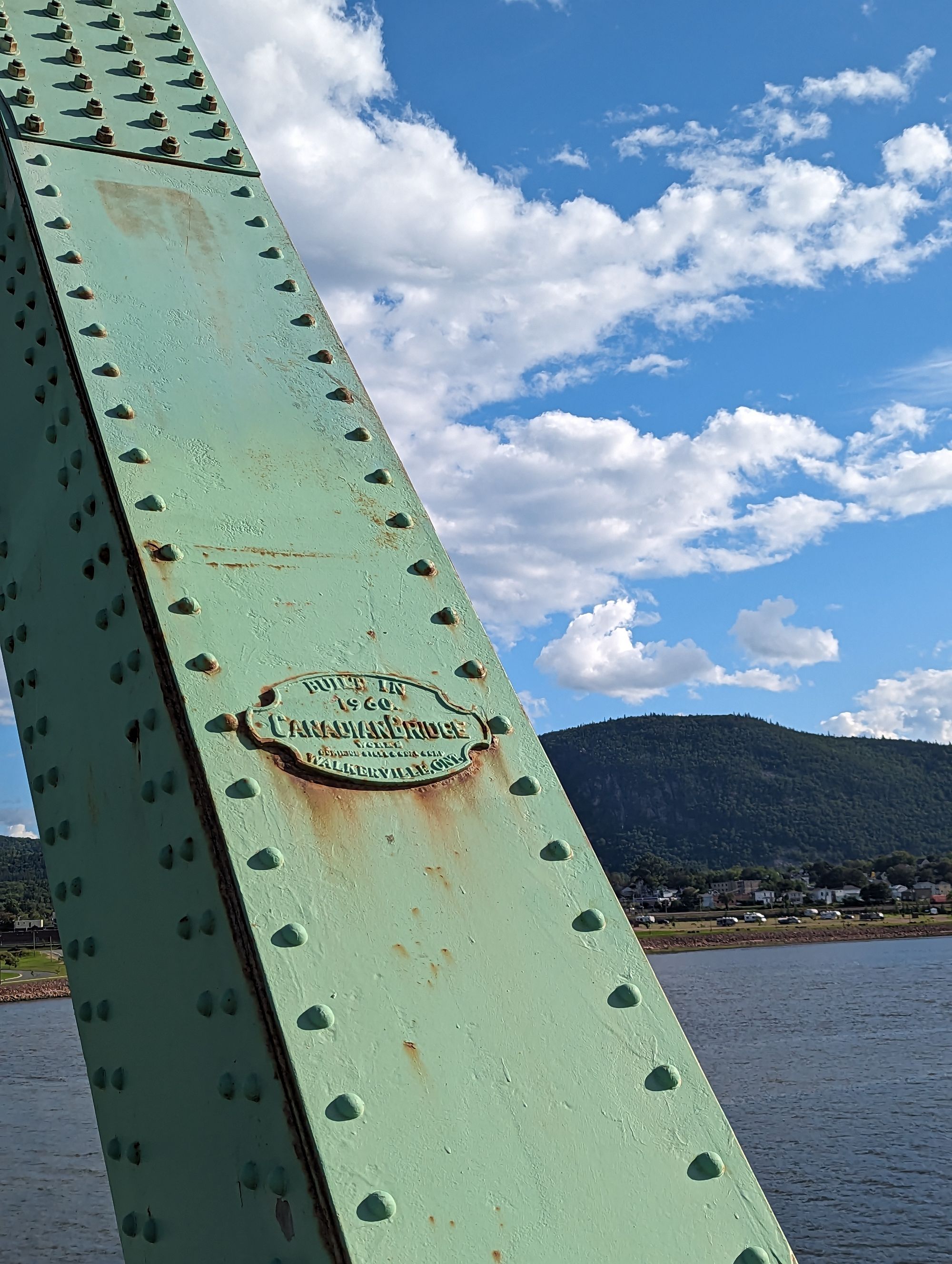
After about 45 minutes we saw a paper mill in the distance on the New Brunswick side of the river, and just past that was the J.C. Van Horne Bridge that crossed from Pointe-a-la-Croix, Quebec into Campbellton, New Brunswick. We rode along the river until we reached the bridge and crossed.
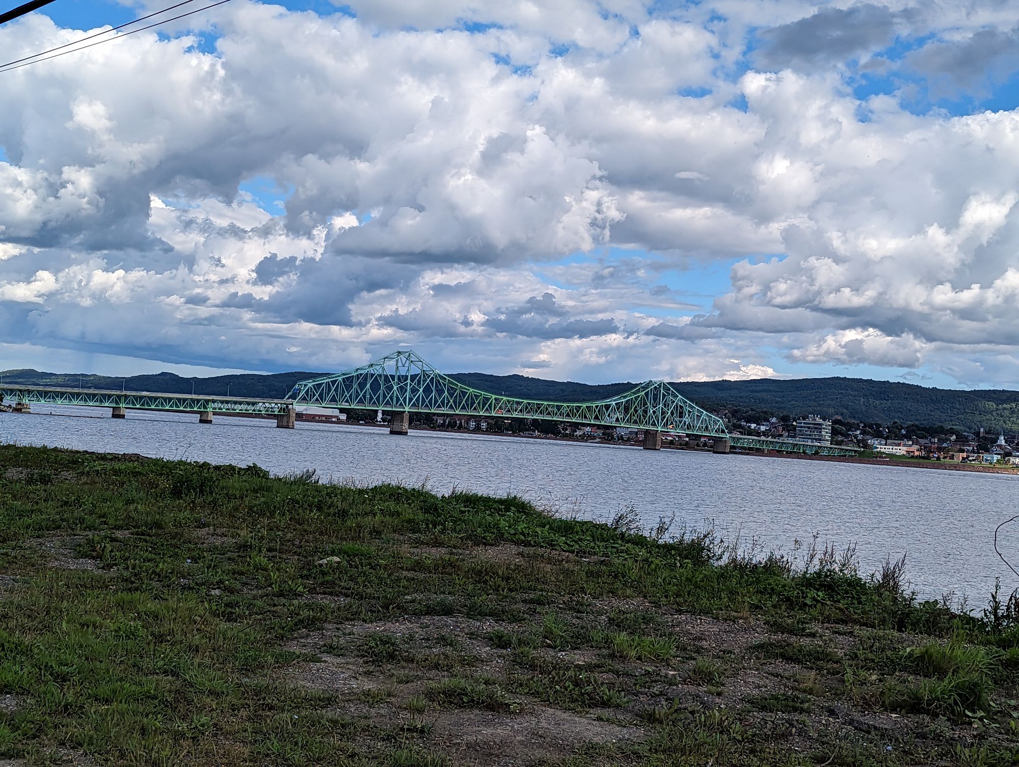
The views were great, but there was construction on the bridge and only one lane was open and being controlled by a traffic light. These places can be pretty tricky. Do you let the cars go by first and try to follow? Does that risk the light changing while you're still trying to get through? Do you go before the cars and make them all wait behind you? My answer is: it depends...and since I value your time, I won't bore you with the details.
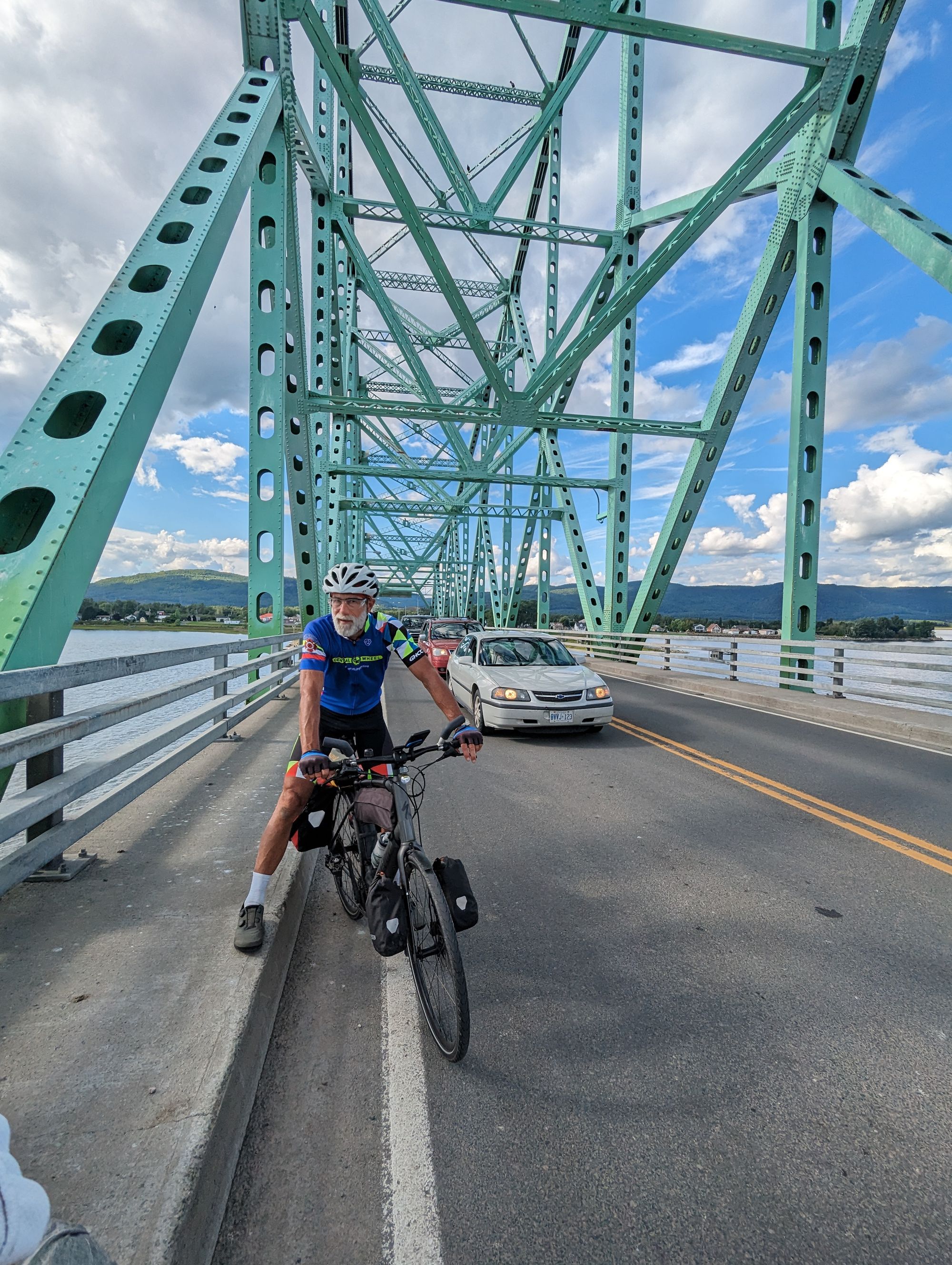
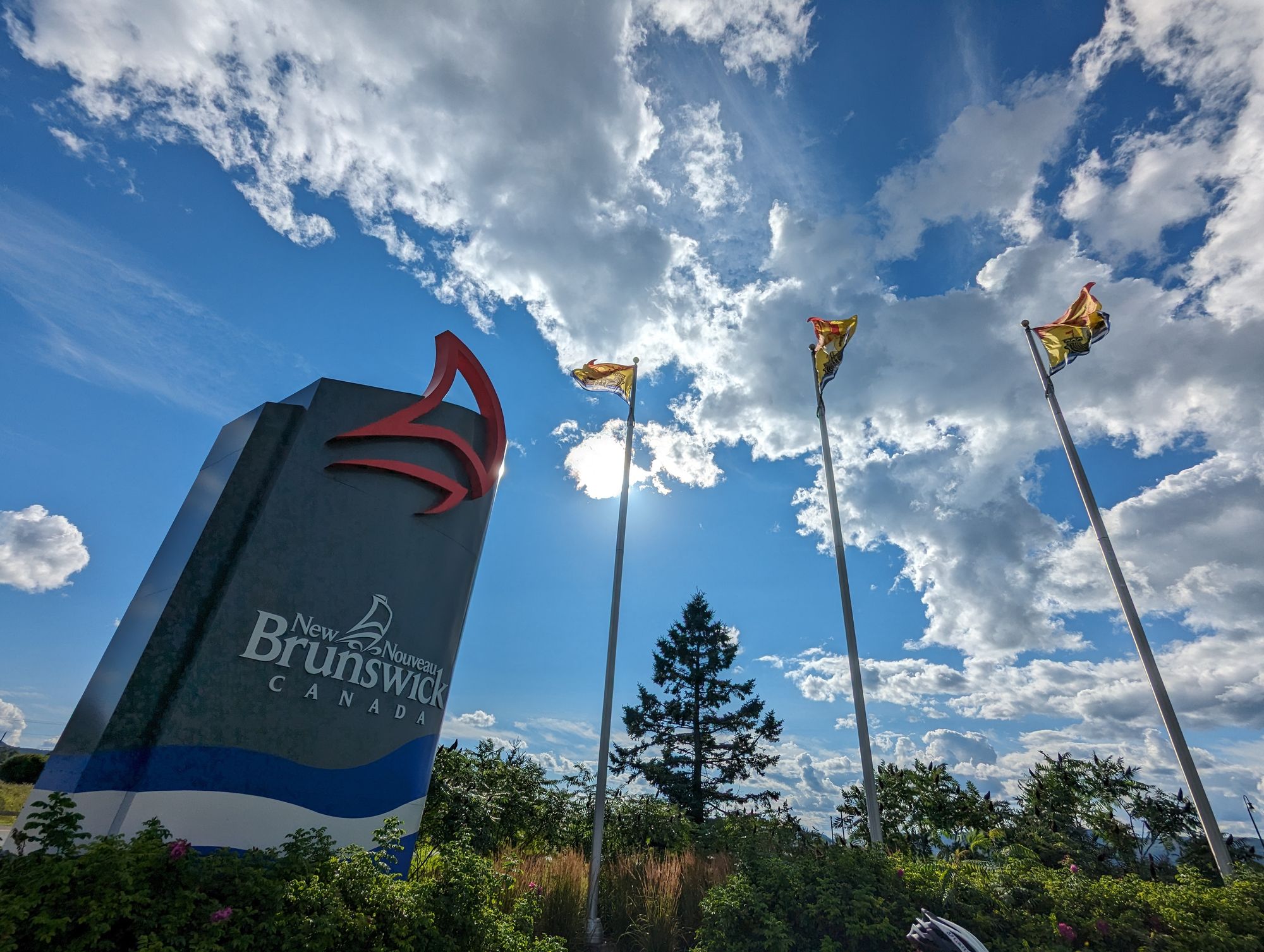
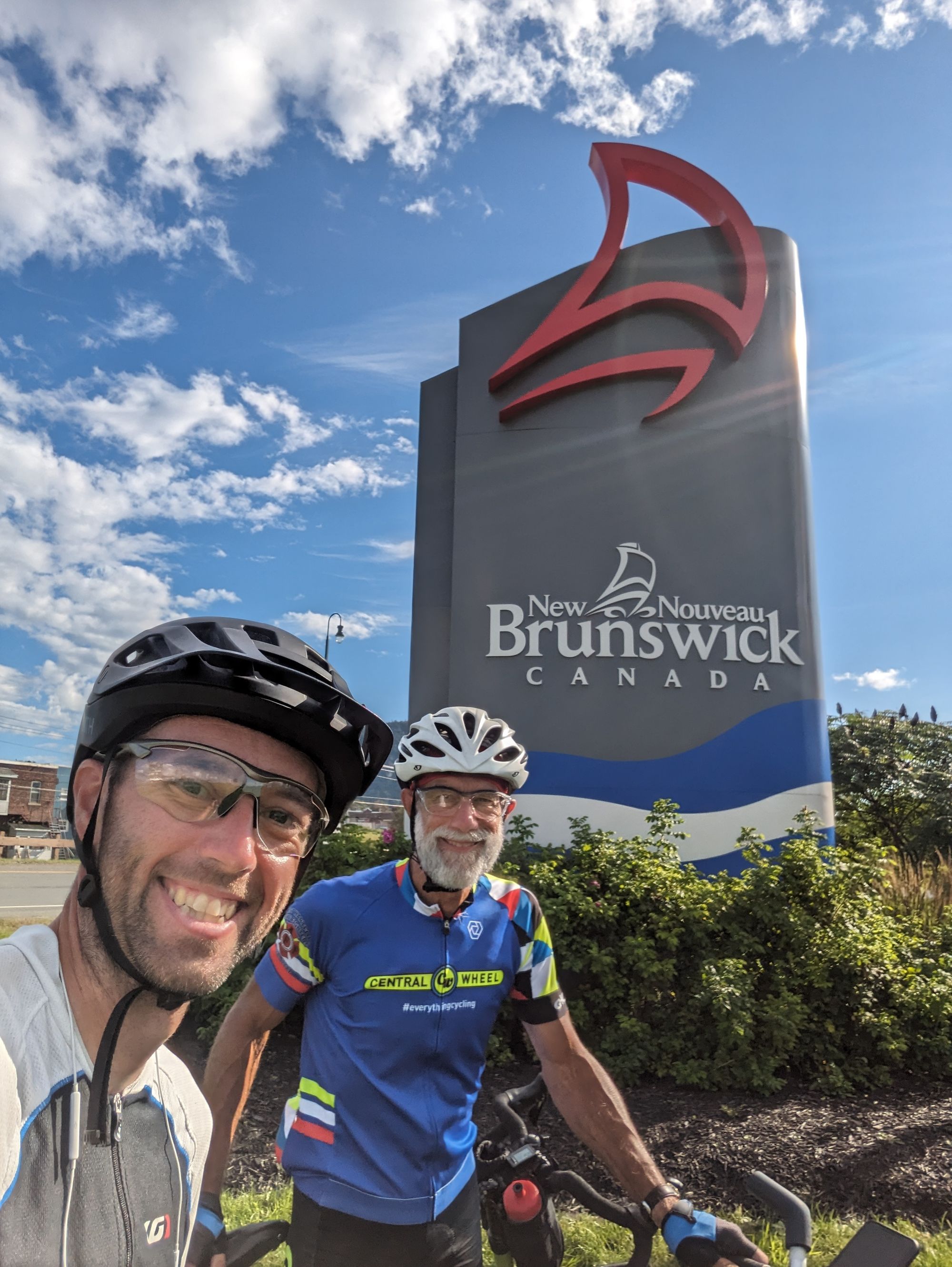
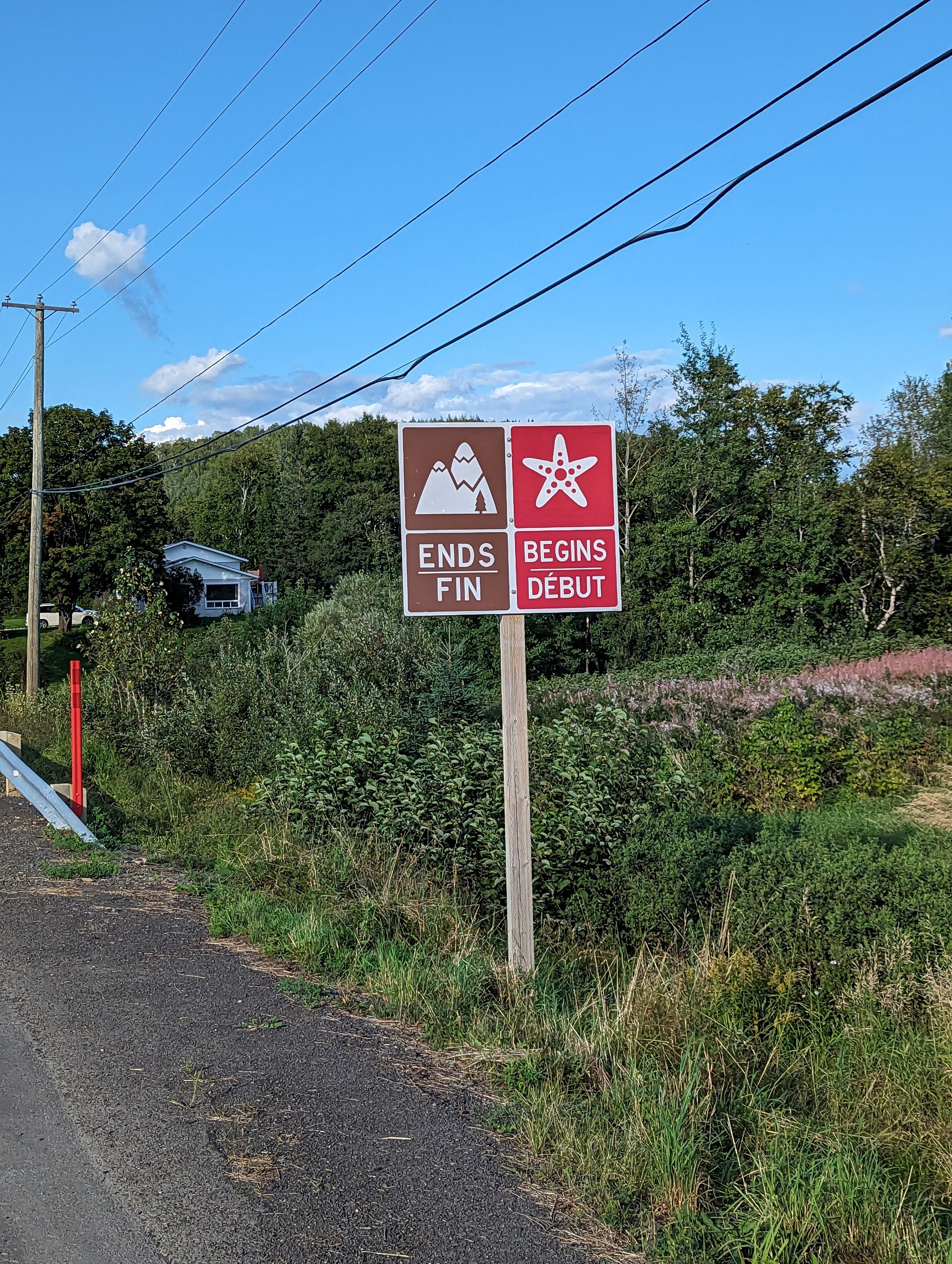
On the other side we were greeted by a glorious New Brunswick sign. We stopped to celebrate entering a new province. It's the start of the Maritimes chapter of the journey! 6 provinces down, 4 to go! I closed the tab in my phone's browser with the map of La Route Verte. It was behind us now. Welcome to the only officially bilingual province in the country!
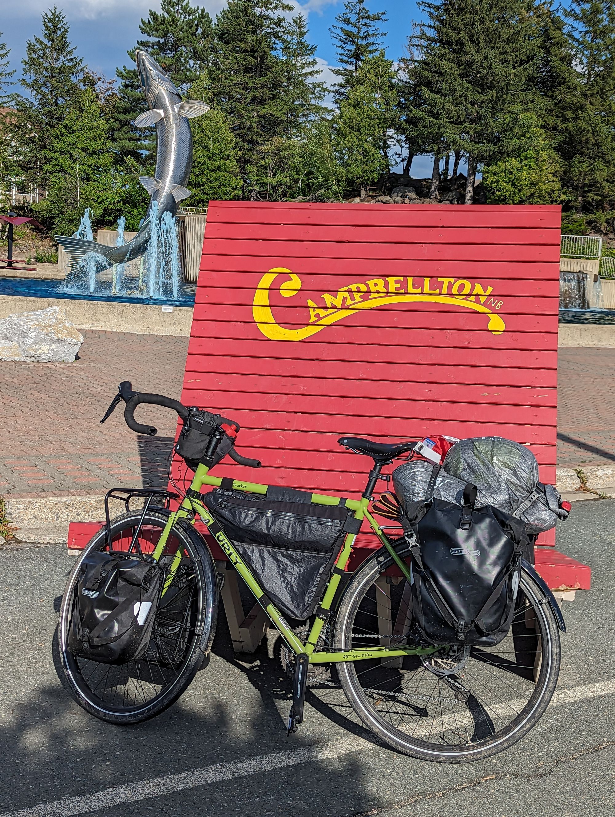
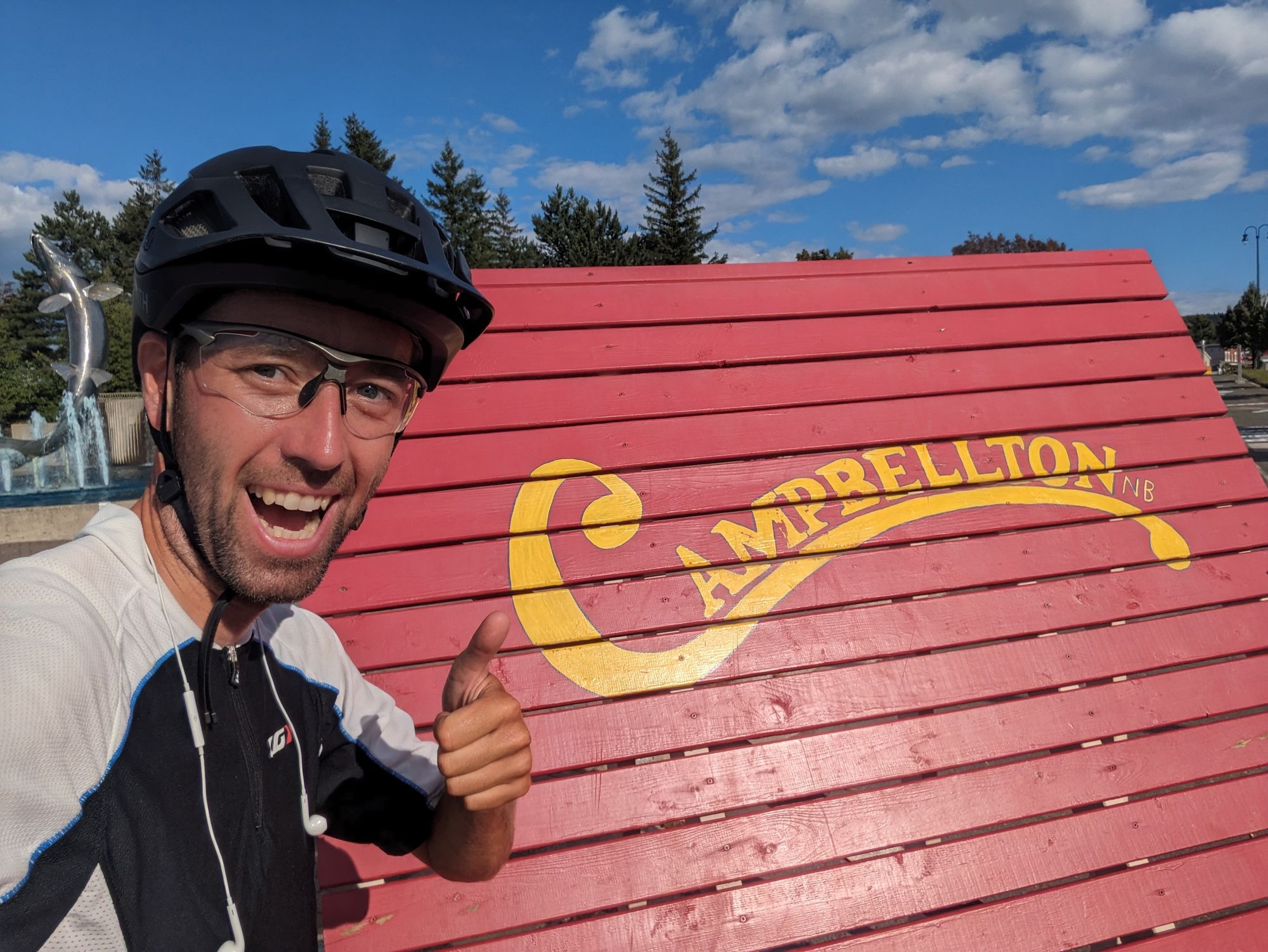
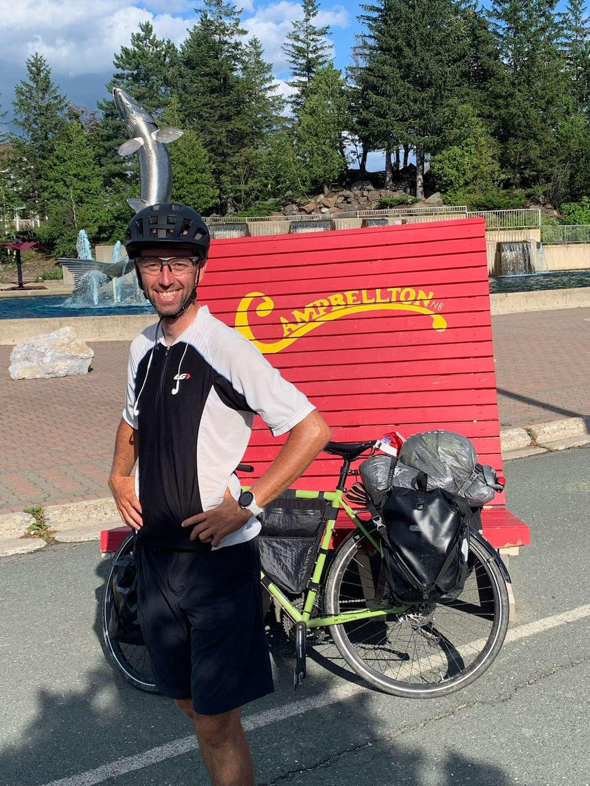
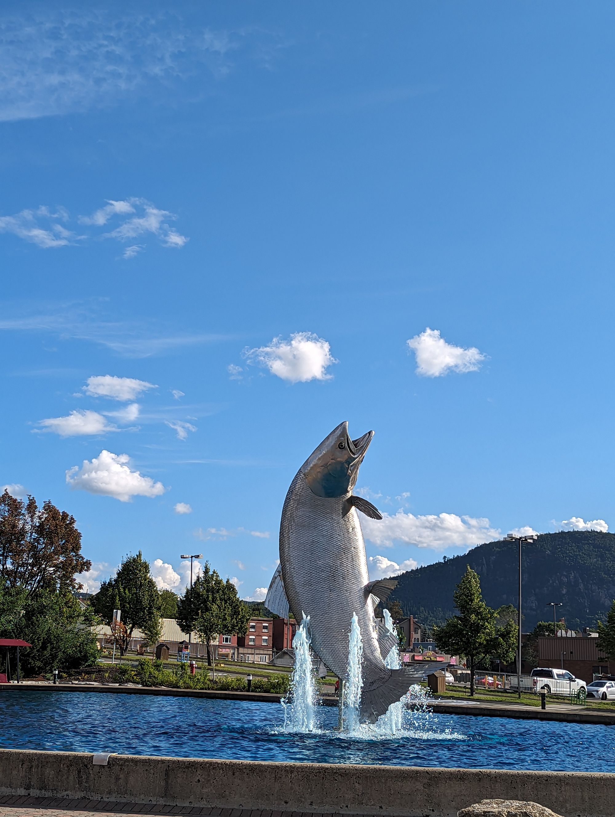
We rode into Campbellton and snapped some pictures. This area being known so its salmon, there's a giant one jumping out of the water in Campbellton!
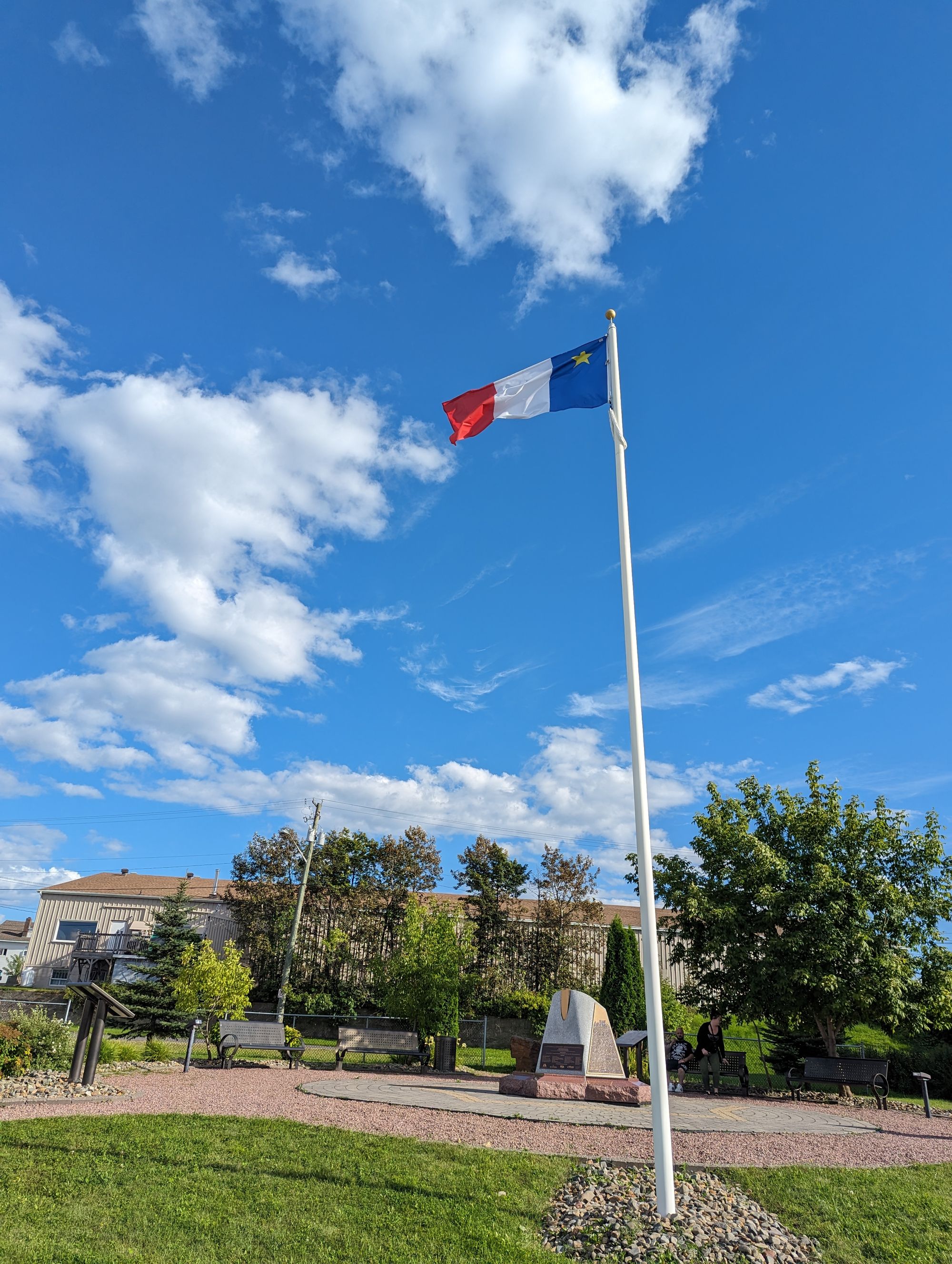
As we started riding out of town we saw the first of many flags that will come to symbolize this entire region of the Maritimes: the Acadian flag. We'll talk more about the Acadians later!
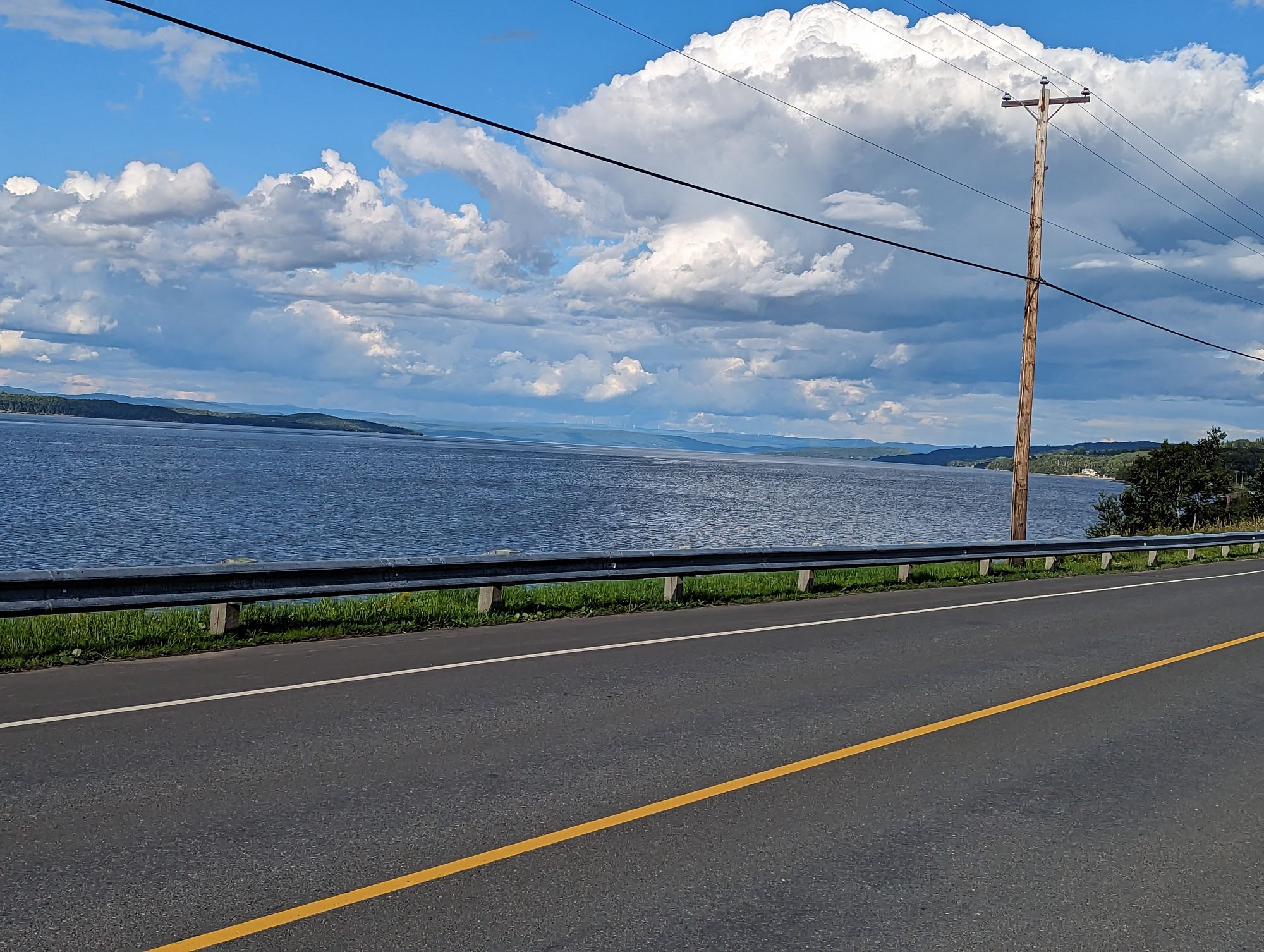
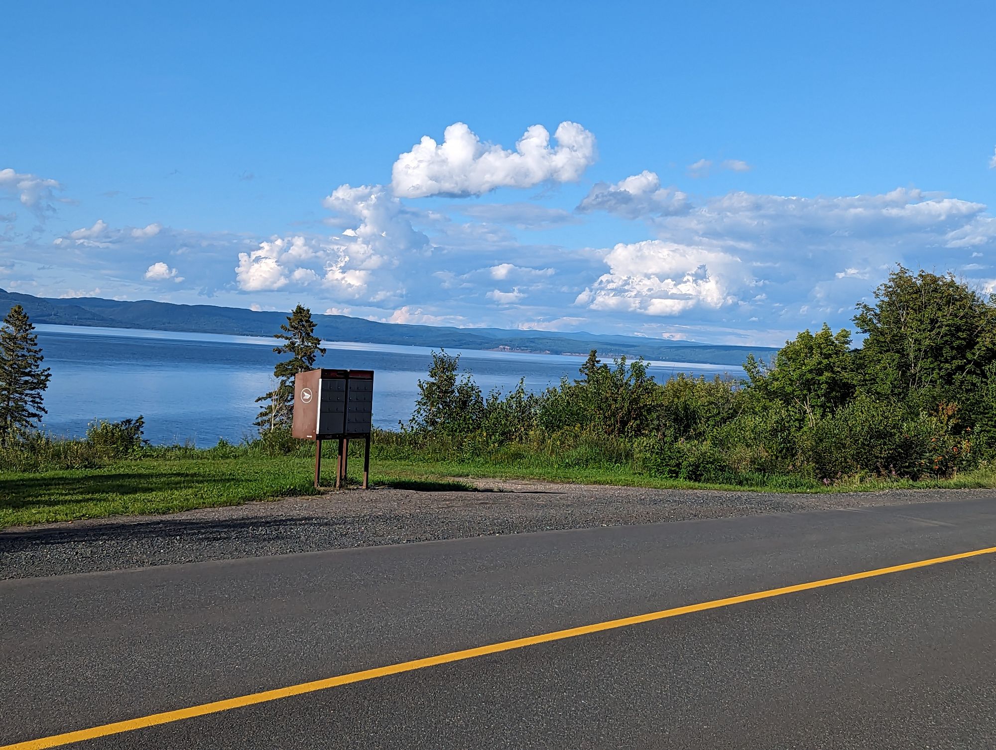
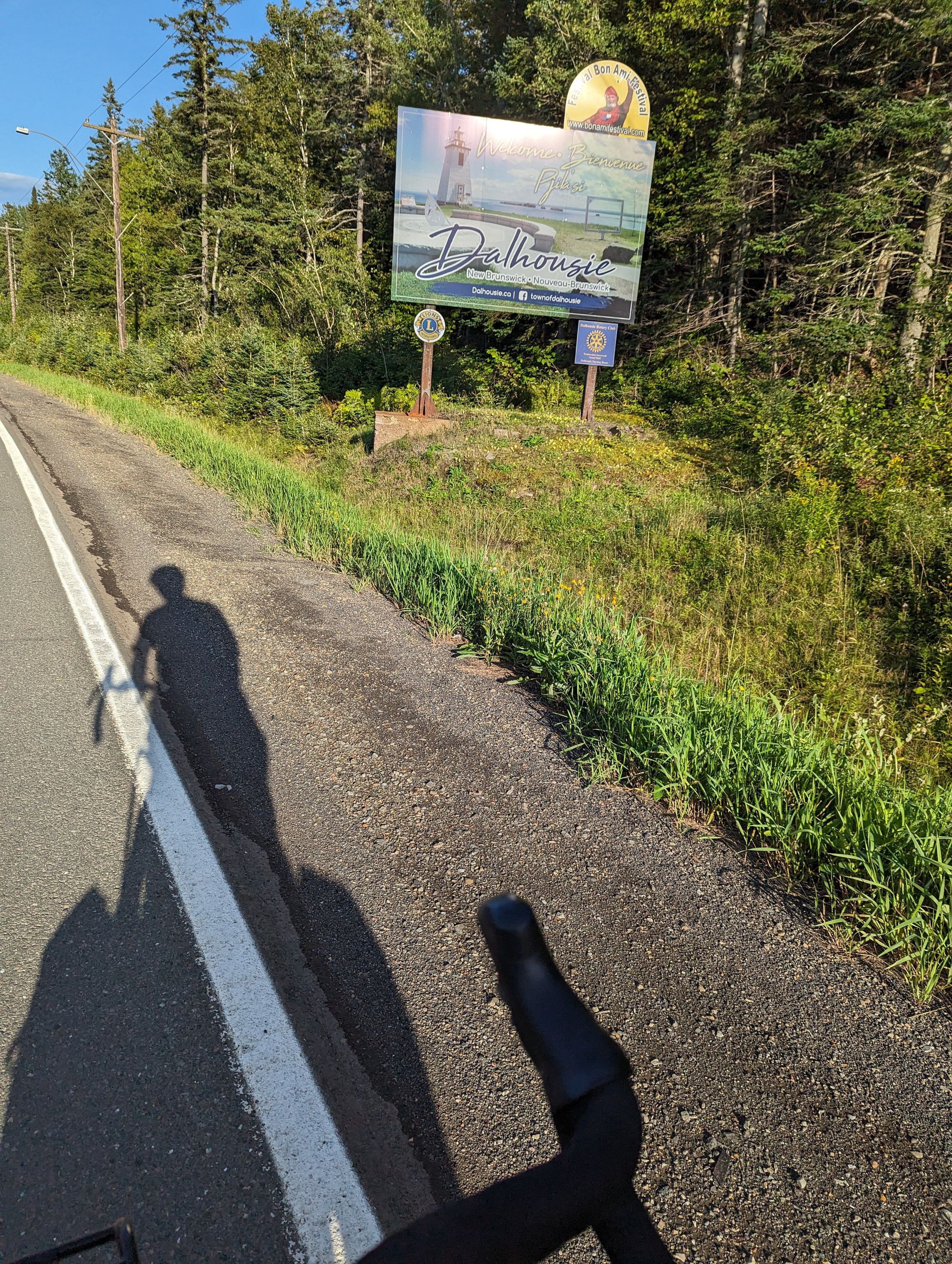
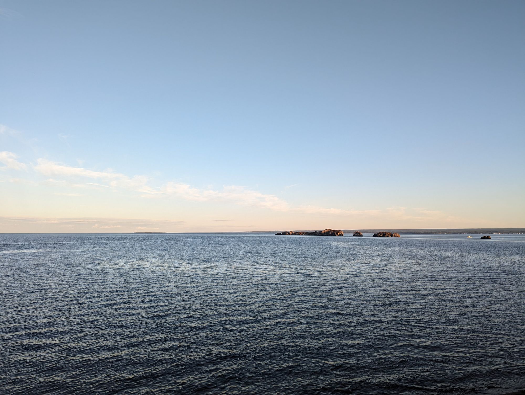
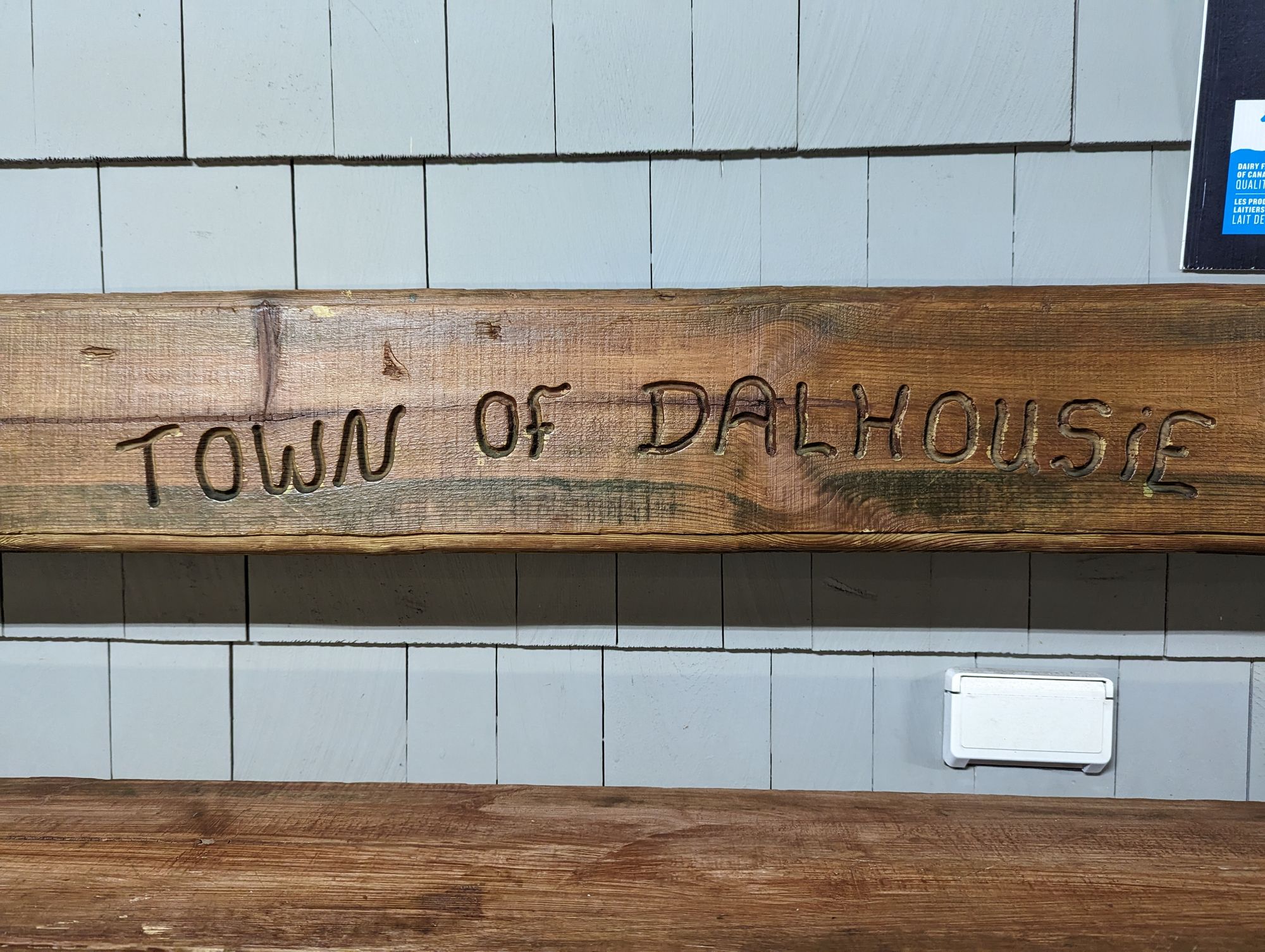
We rode along the water as the Restigouche River turned into the Baie des Chaleurs (Chaleur Bay). Here the river empties into a bay off of the Gulf of St. Lawrence that separates the Gaspe Peninsula from New Brunswick. The bay is wide and looking north we could see the mountains of the Gaspe again. As the sun set our shadows once again grew long and we entered Dalhousie, NB.
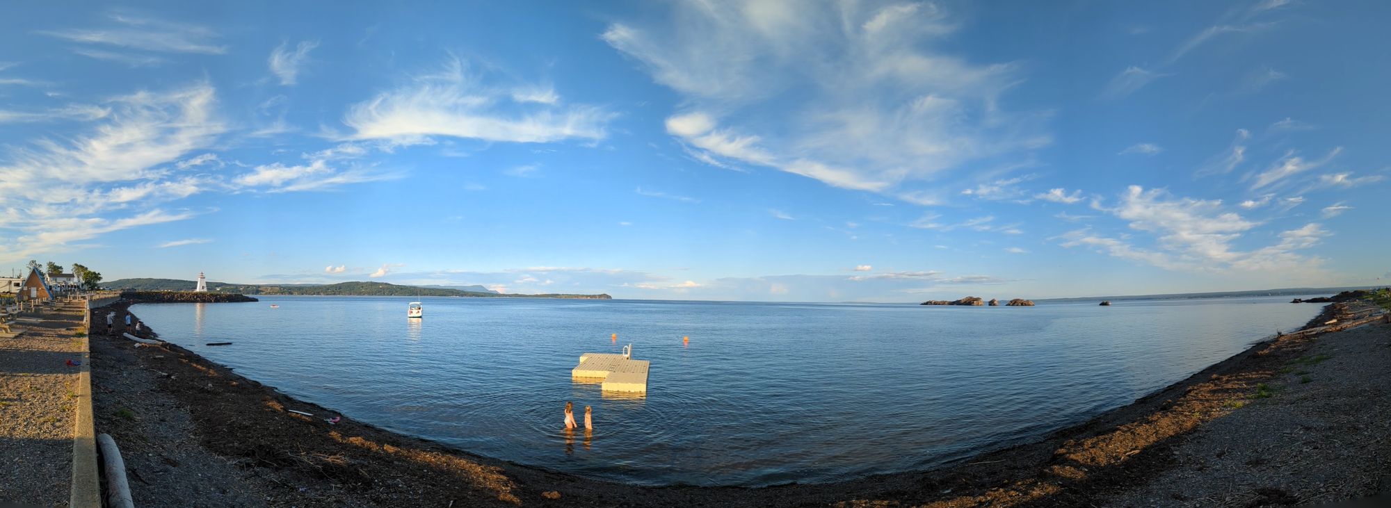
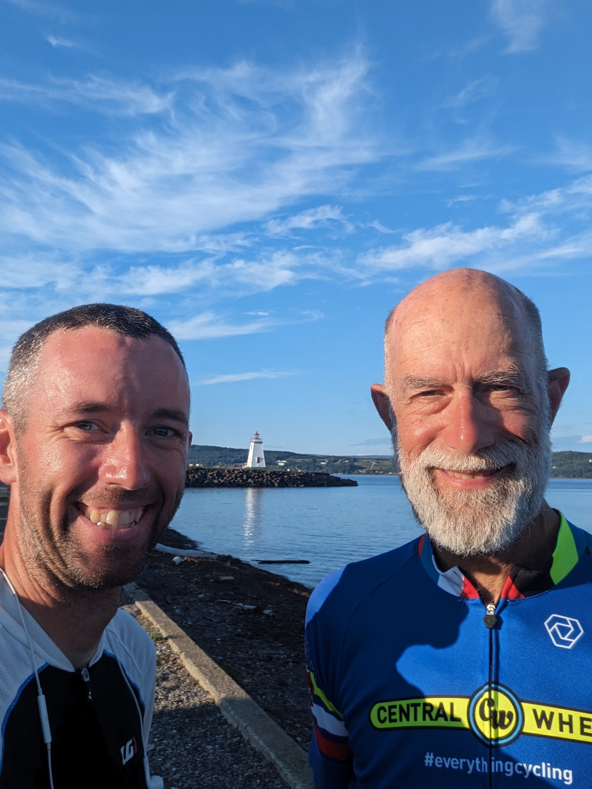
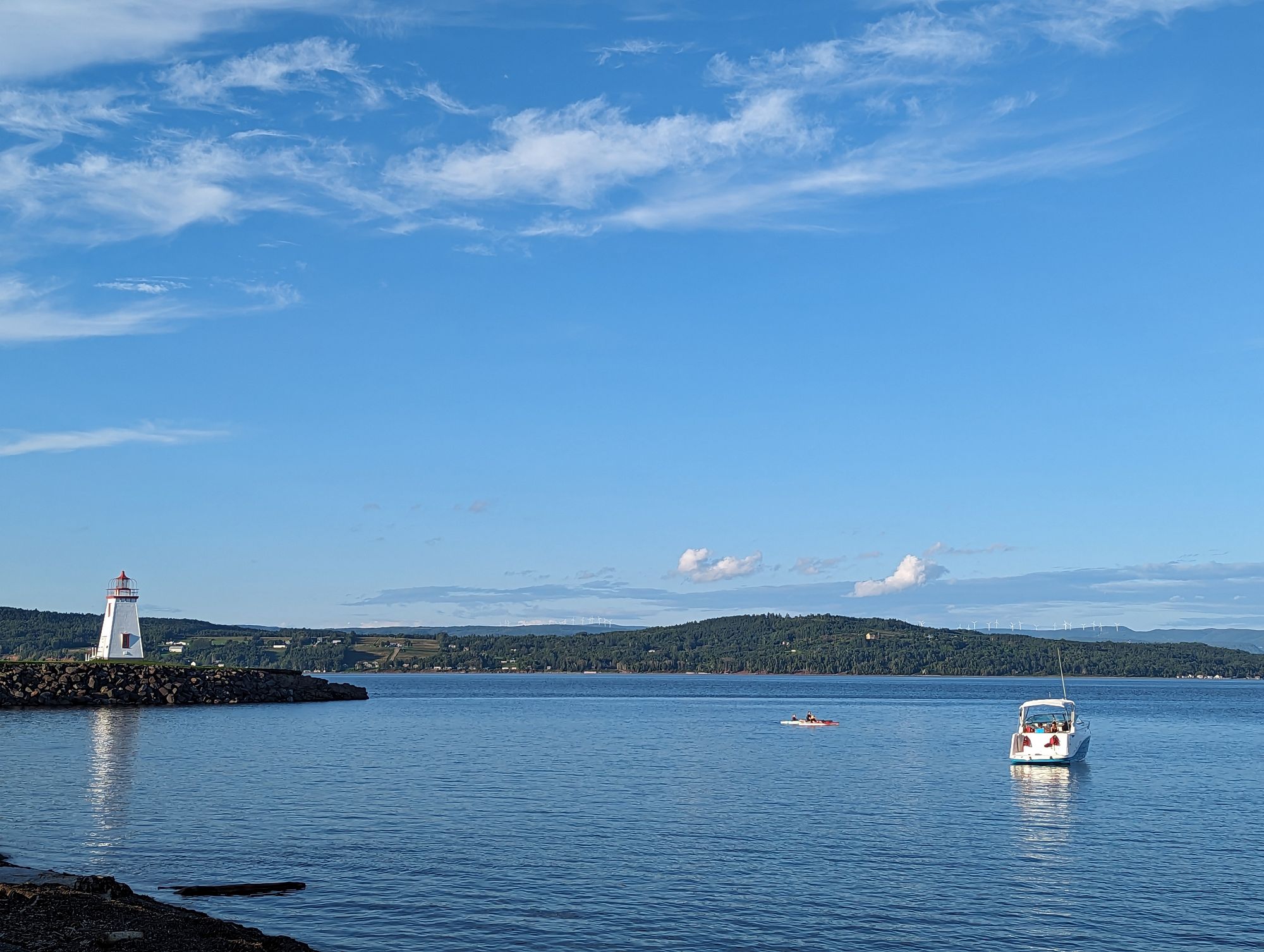
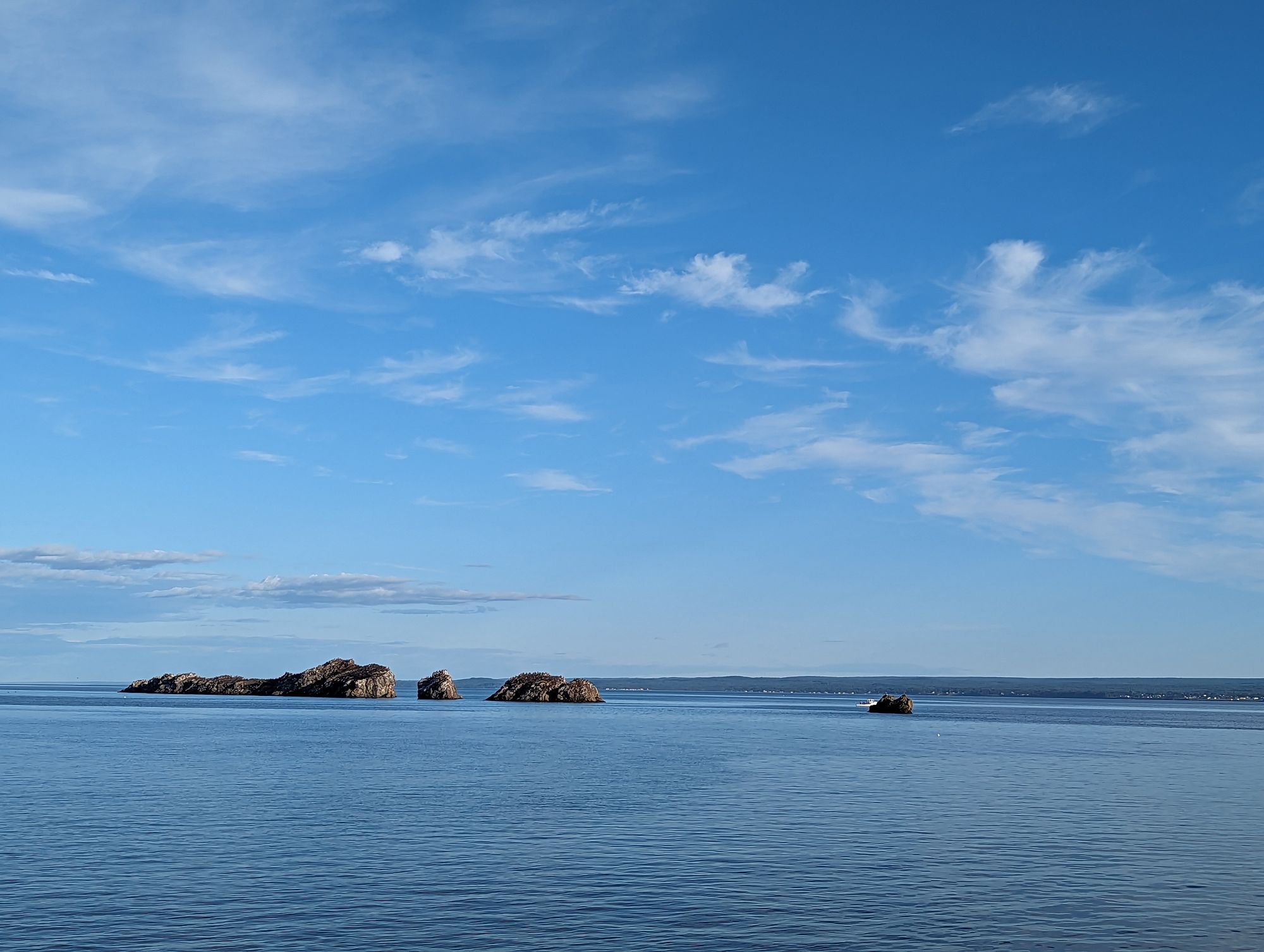
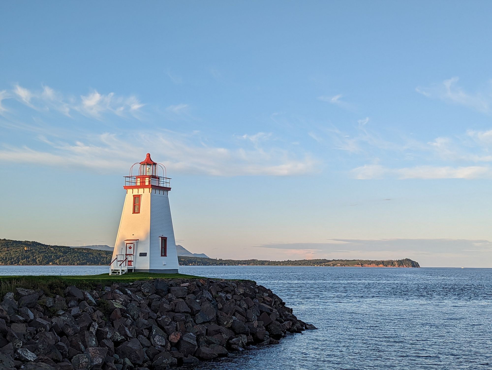
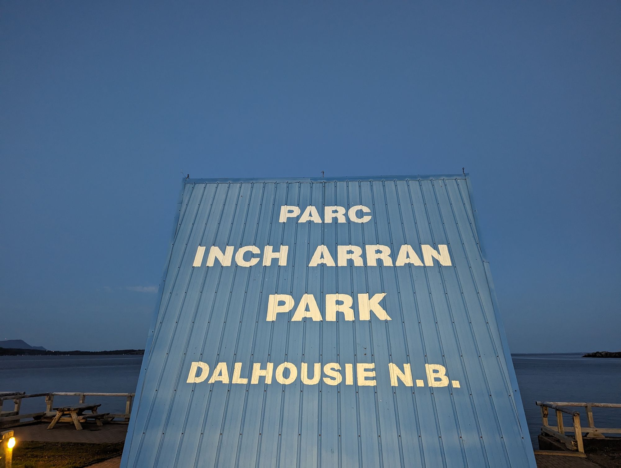
Dalhousie sits out on a point of land overlooking the bay with views of the mountains in Quebec across the water and the coastline of New Brunswick running South. The town runs a park along the water with a beach and incredible views. It also allows camping, and so we pitched our tents just off the water and enjoyed the incredible views of the bay, the rocks just off the coast, the nearby lighthouse, and the red cliffs of Quebec in the distance. It was another embarrassment of riches as far as vistas and views went.
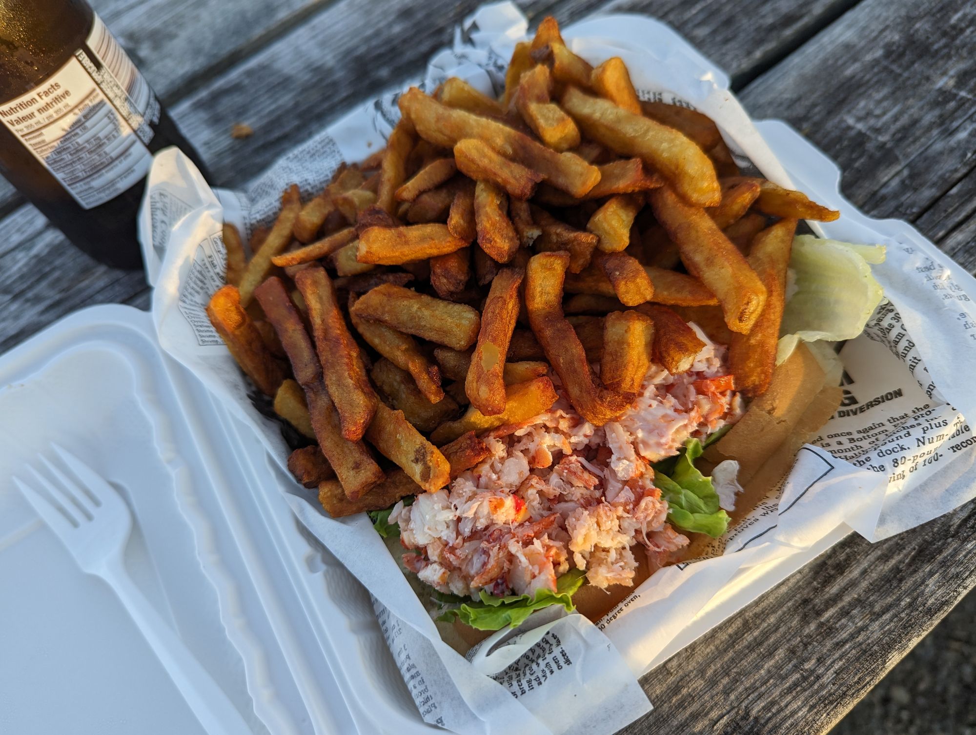
We showered, setup our tents, and went to the nearby snack shack that's run by the local Lions Club. Skipper grabbed another poutine and I opted for a lobster roll and fries. A point of embarrassment was me trying to figure out what I wanted and seeing something on the menu called "Fry." There was also a "Big Fry" and a "Family Fry." I wondered if this might be a mix of seafood all fried up. When I asked what was in the "Fry" the woman working the snack shack looked at me like I had three heads and she just said "Well it's a fry. You can get a big one or a small one. You've never had a fry before?" And I stared back with a look of "...that didn't answer my question." Another awkward second or two and she said, "It's potatoes. You know, fries!" She then told me there's a dialect of french in Acadia called "Chiac" and they refer to fries in the singular. Sooooooo this isn't unique to Acadian, in Quebec Francophones will use the singular "fry" instead of "fries." I knew this...but hadn't made the connection. When I realized what had just happened, I felt like an idiot. I was a funny misunderstanding that I chalk up to my lack of blood sugar at the time.
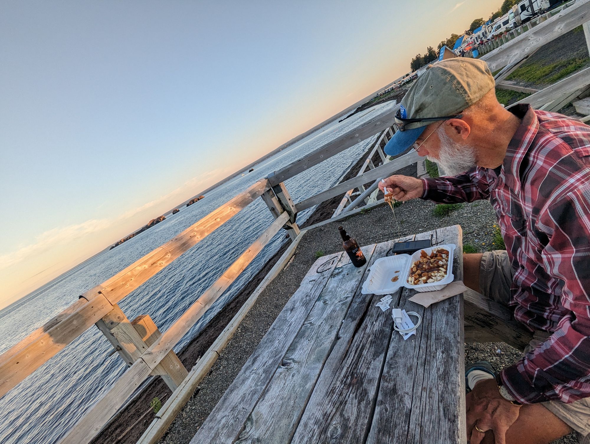
We ate overlooking the water and it was such a perfect evening. The sun was setting, the skies were perfect blue, the water was full of waves, the birds ran along beach pecking for bugs and sea creatures, and the cry of gulls in the distance. It was another of those perfect moments that was everything you wanted from a particular place. We spent a long time taking it in and marveling at our good fortune to be enjoying it.
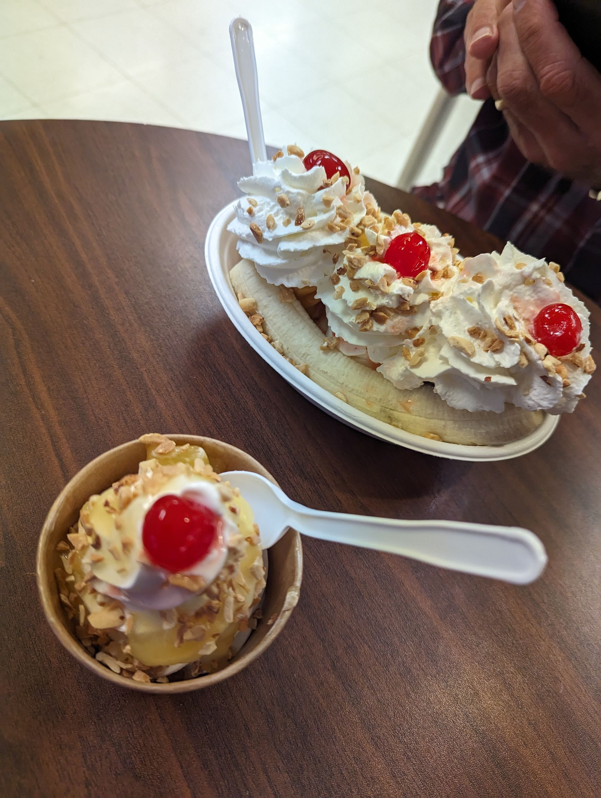
When we were finished we were both still hungry. No problem, there was a ice cream shop across from the snack shack and we walked over for some desert. We hadn't eaten very much since our big breakfast and were still jonesing for a caloric fix!
Skipper got the banana split and I got a sundae. I almost ordered a second one because I still had room for more!
But the sun was setting and neither of us had setup our tents yet. In our haste to eat we'd forgot about it. We setup in the dark as the mosquitoes made a meal out of us.
It was supposed to rain overnight. No problem as long as it happened while we were sleeping in our tents. The forecast kept pushing it back and we worried it might get pushed to the next day. We turned in wondering if we might wake up in a storm. I woke at 4am and there was still no sign of the promised storm. It was nice and cool by the water and we both slept soundly!
Another big day! Crossing the 8000km mark, entering a new province and starting the Maritimes, and finishing Quebec. In total we'd done 1133km in Quebec! It didn't feel that long, but we had stopped multiple times to make visits and take days off. To finally be past the two largest provinces in the country really made the feeling sink in that the last part of the trip is going to go fast. Quebec was the start of the more culturally diverse areas of Canada. I have a complicated relationship with that province - having grown up there as an Anglophone - but I do respect its unique identity, culture, and place in Canadian history. Their cycling network is way beyond anything the other provinces have built. La Route Verte is really a gem of a system and makes the experience so much more comfortable. They also have regular rest stops with bathrooms and this makes the trip so much more relaxed than other places. But all good things must end, and so our trip takes us into the next region. A big thank you to Quebec for treating us to such a wonderful time and such spectacular sights. Je me souviens!